Elevation of Jordan Springs Rd, Stephenson, VA, USA
Location: United States > Virginia > Frederick County > Stonewall > Stephenson >
Longitude: -78.086056
Latitude: 39.2153548
Elevation: 162m / 531feet
Barometric Pressure: 99KPa
Elevation Map:
Satellite Map:
Related Photos:

Just Drifting By
My favorite view in town. #handley #highschool #shadow #evening #latergram #winchester #virginia
CHERRY PLUM.....
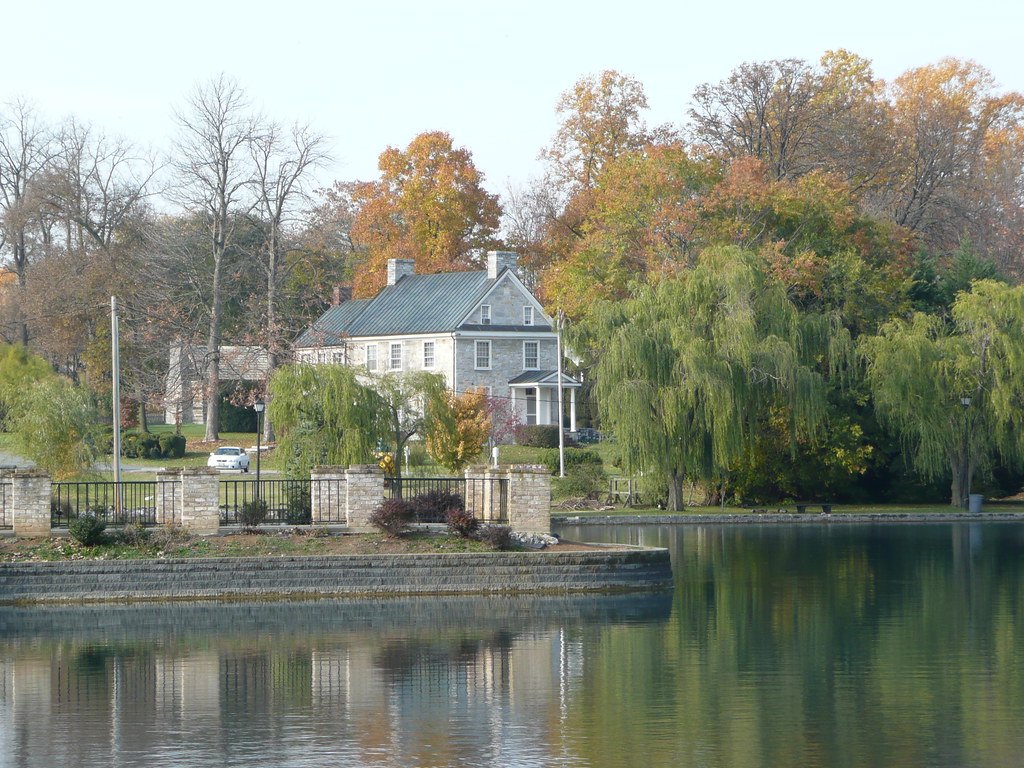
Across the Lake

Fisheye view of Winchester, Virginia

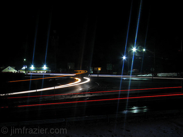
Fast 430
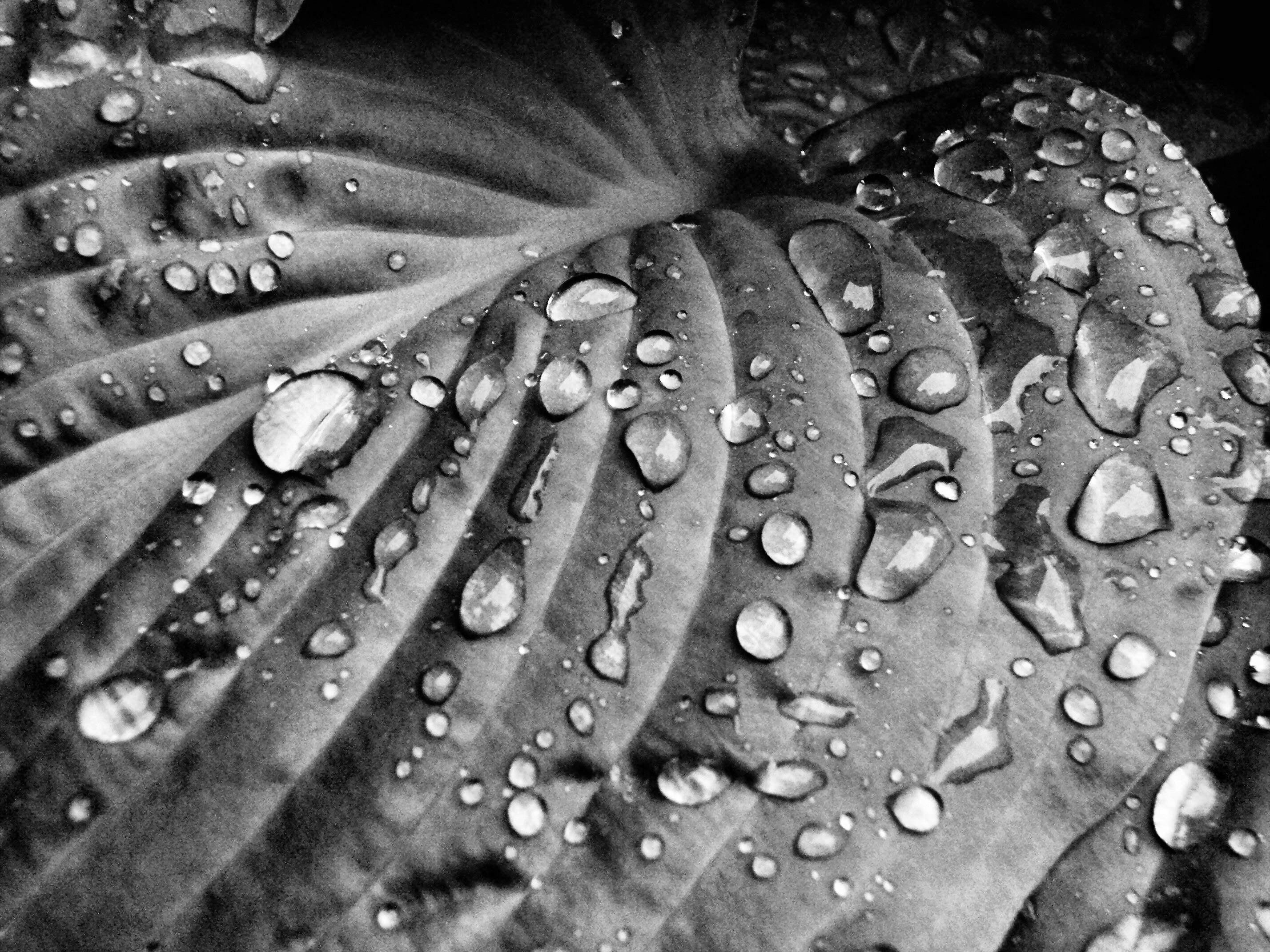
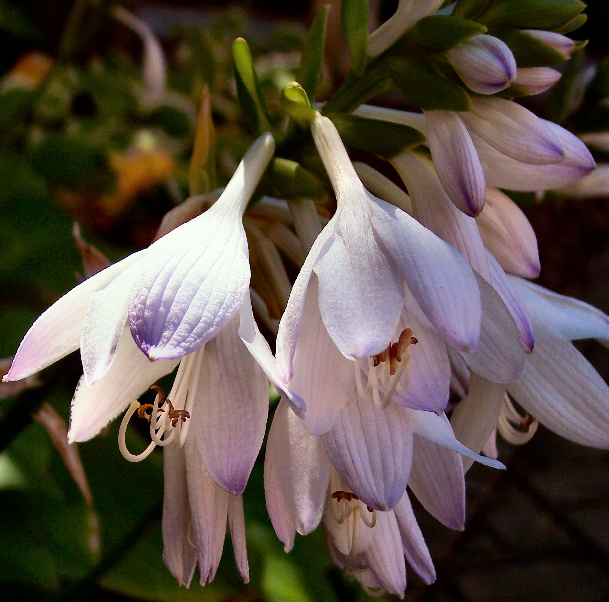
Rain Drops on Hosta II
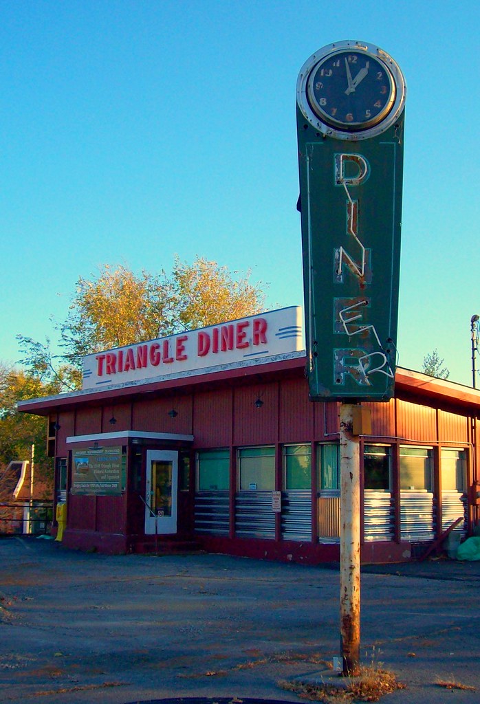
Triangle Diner
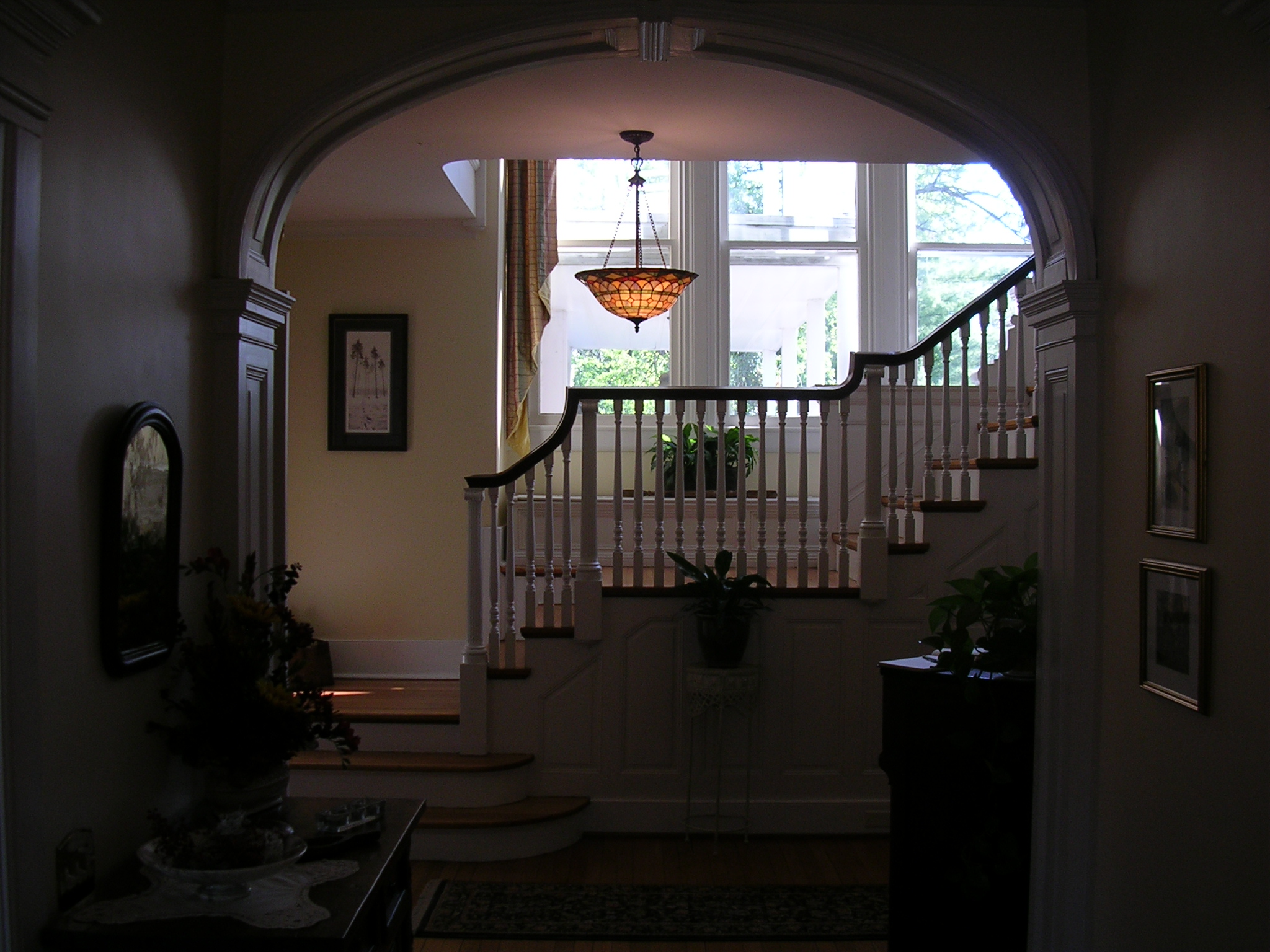
The View from Room 301

Zach Gladden Drummer Mosiac Poster
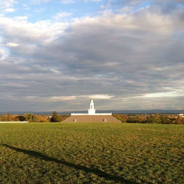
Third Winchester: Huntsberry Farm View
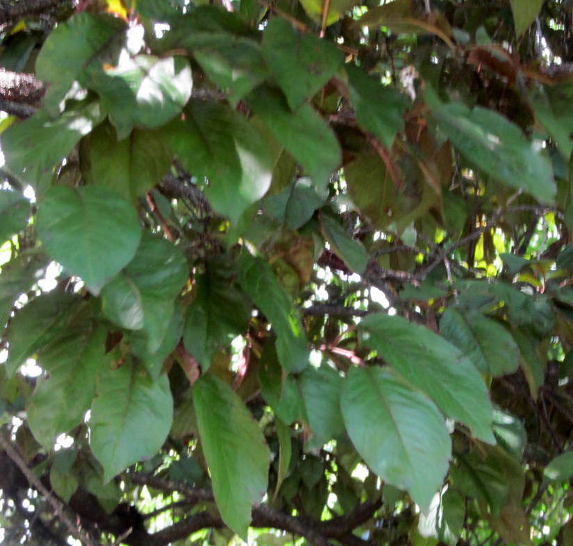
CHERRY PLUM.....
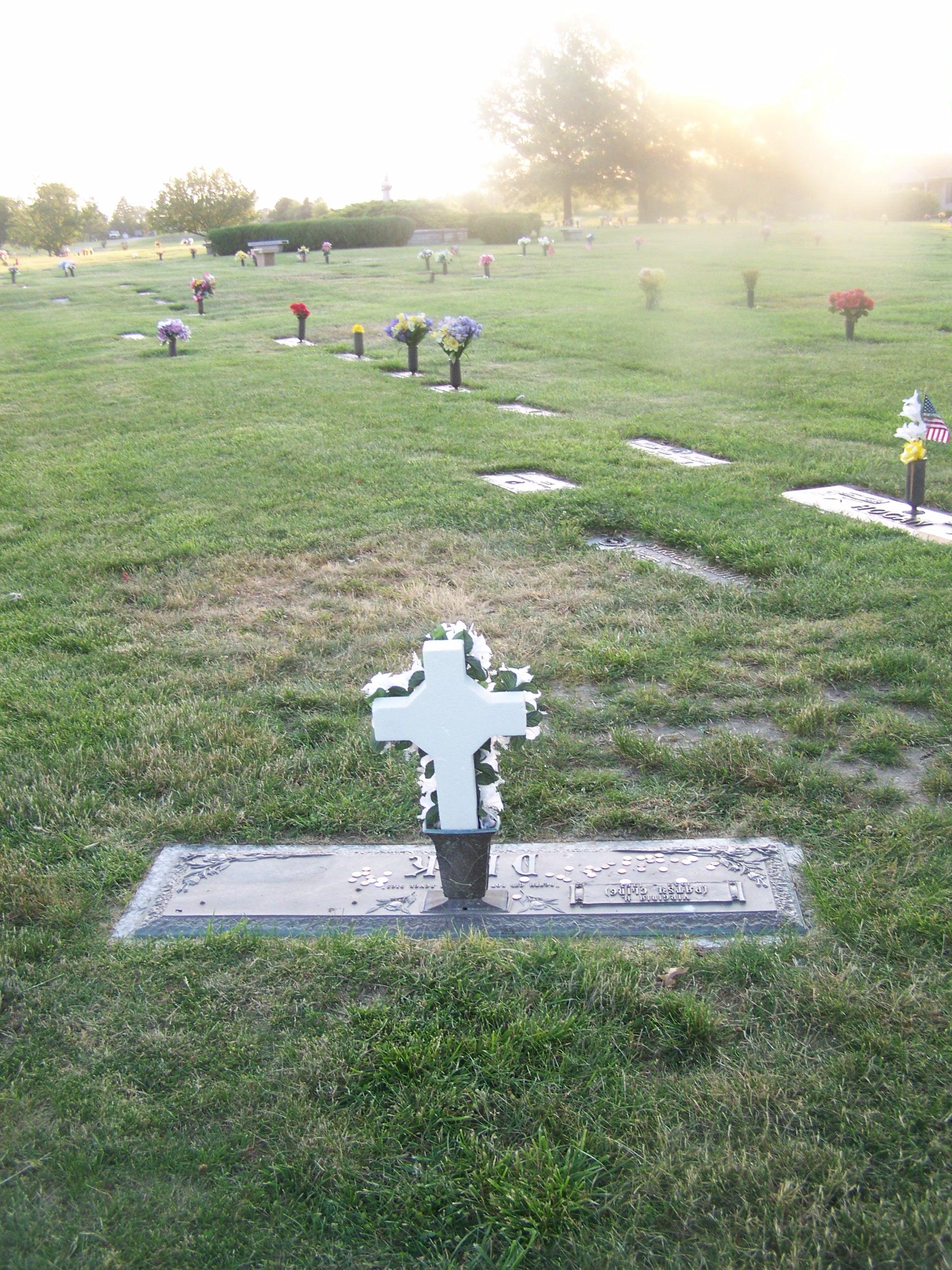
Patsy Cline Grave- Shenandoah Memorial Park- Winchester VA (2)
Another view from the entrance
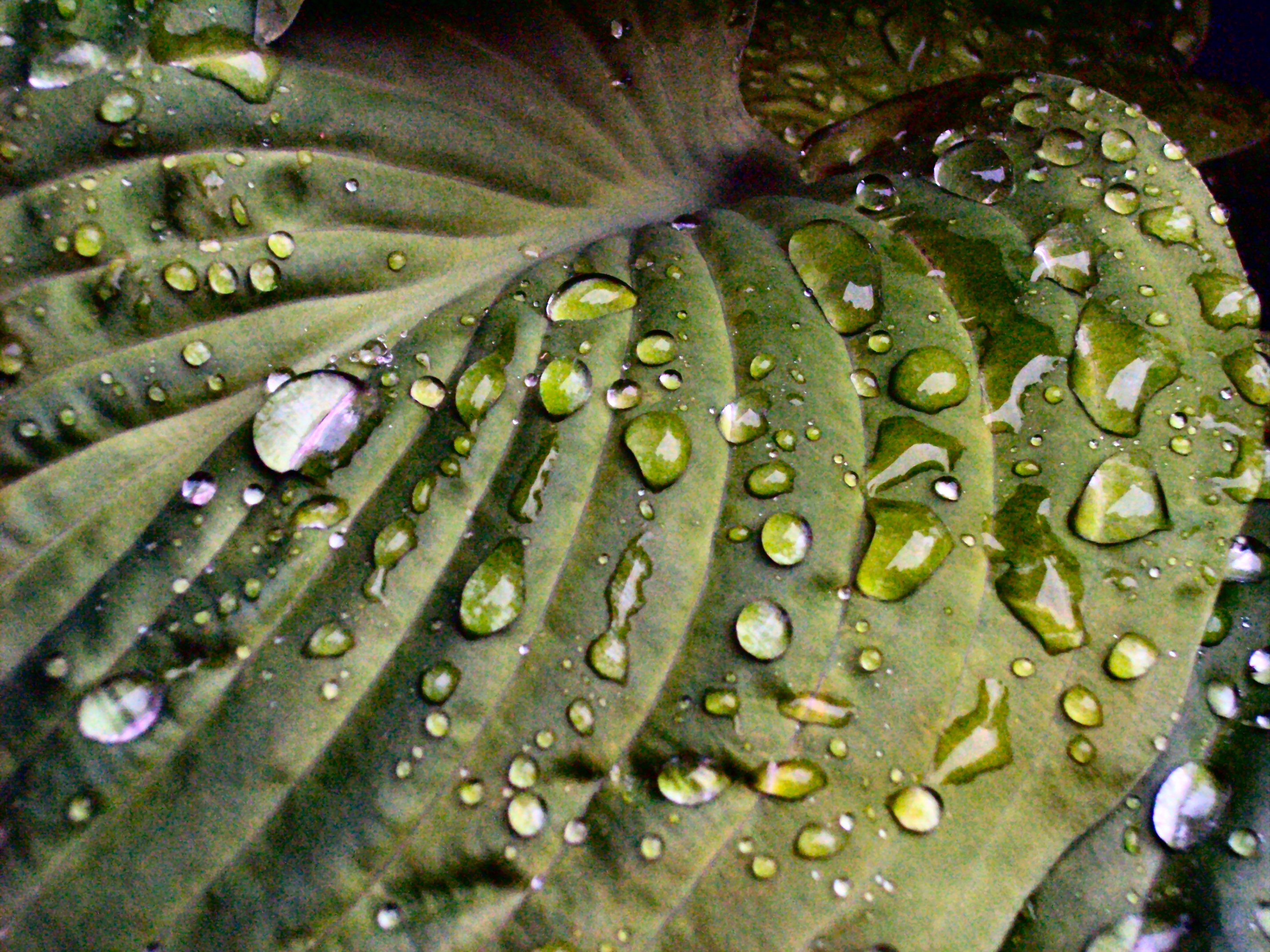
Rain Drops on Hosta

Yellow Kitchen

Rose Bud
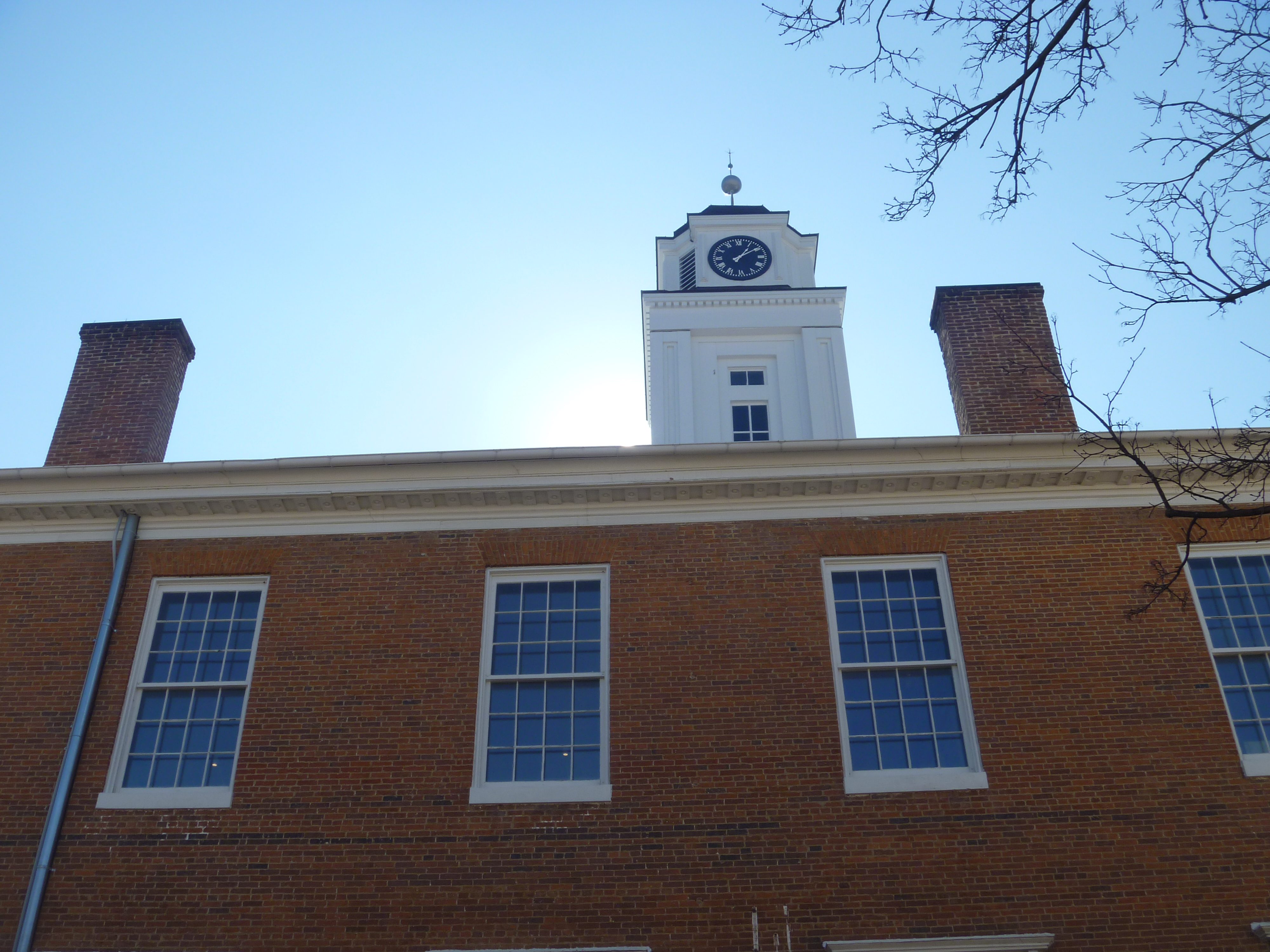
Northside View Of Old Frederick County Courthouse

Going Down?
Flower of the Hosta
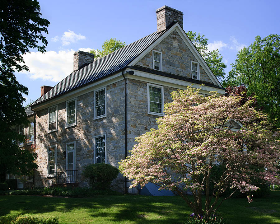
House at Duncan Park
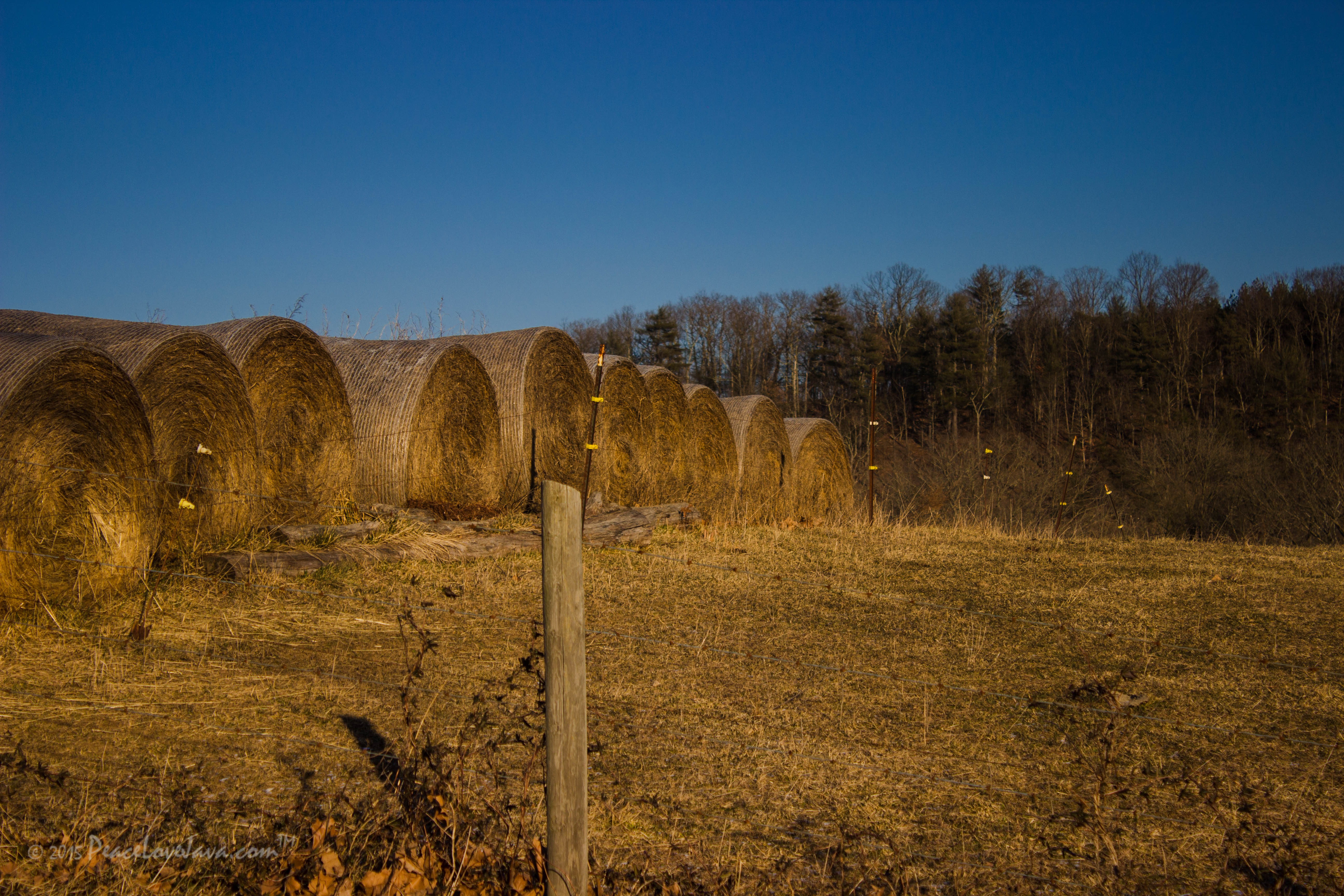
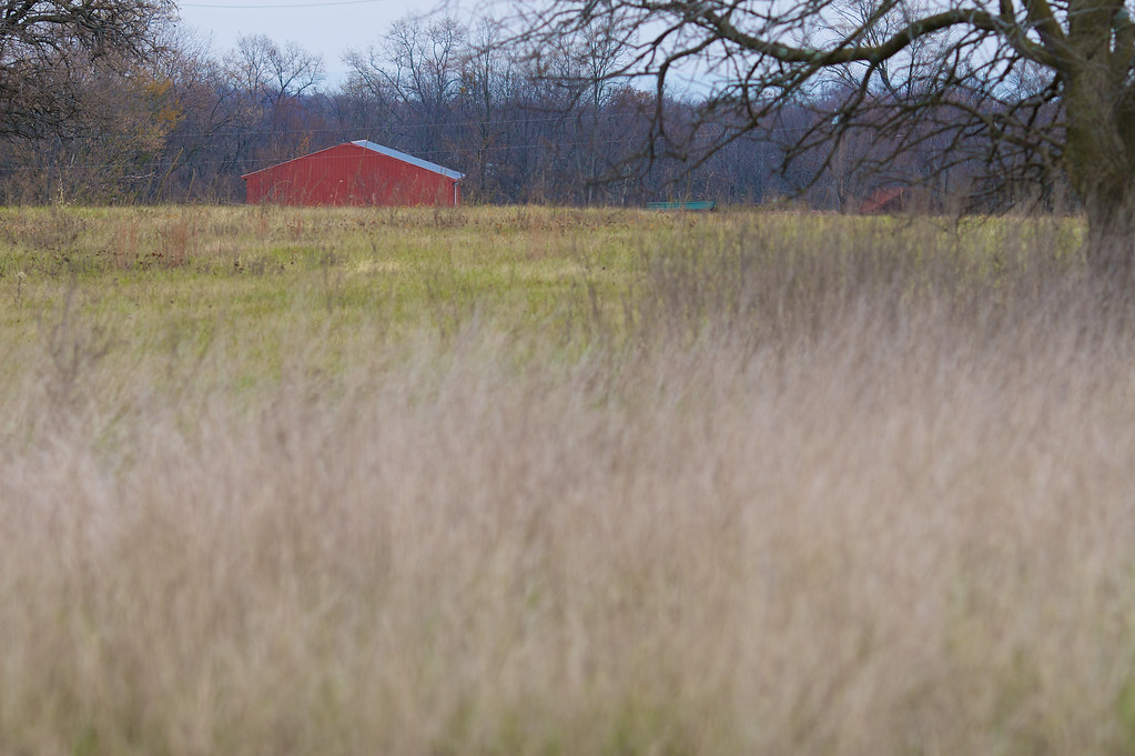
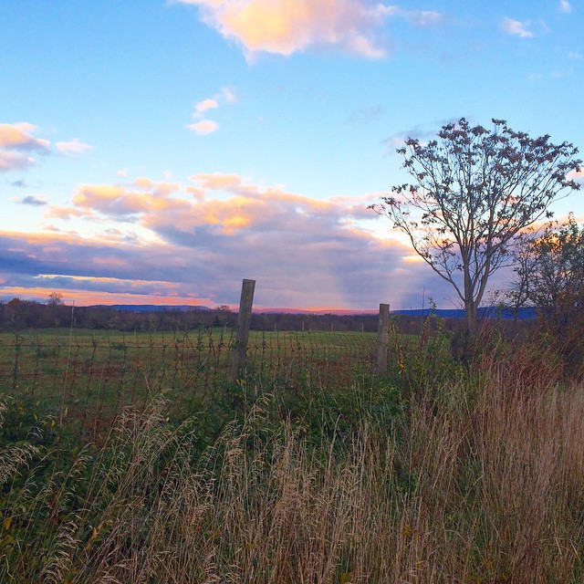
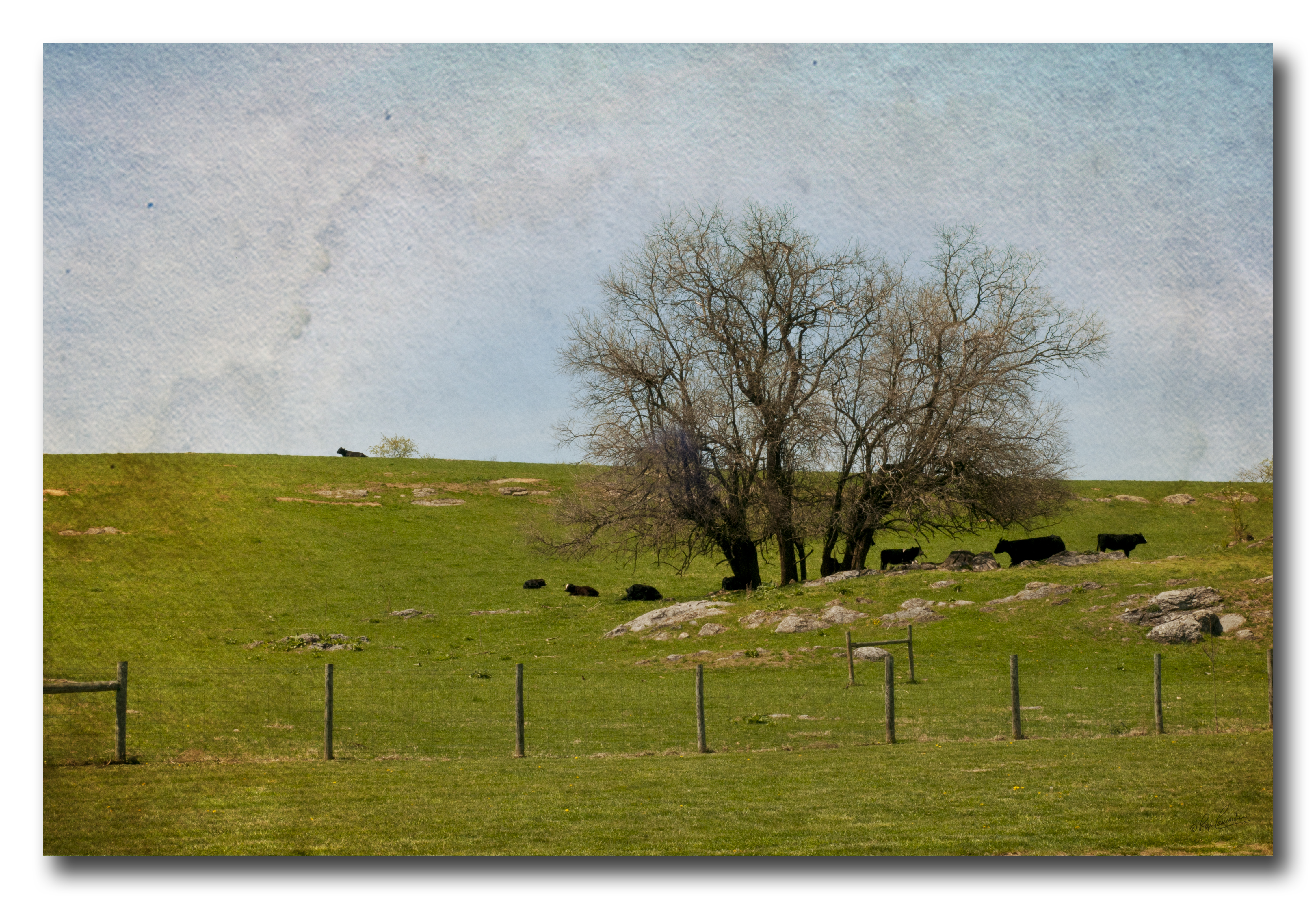
Virginia Farm Land
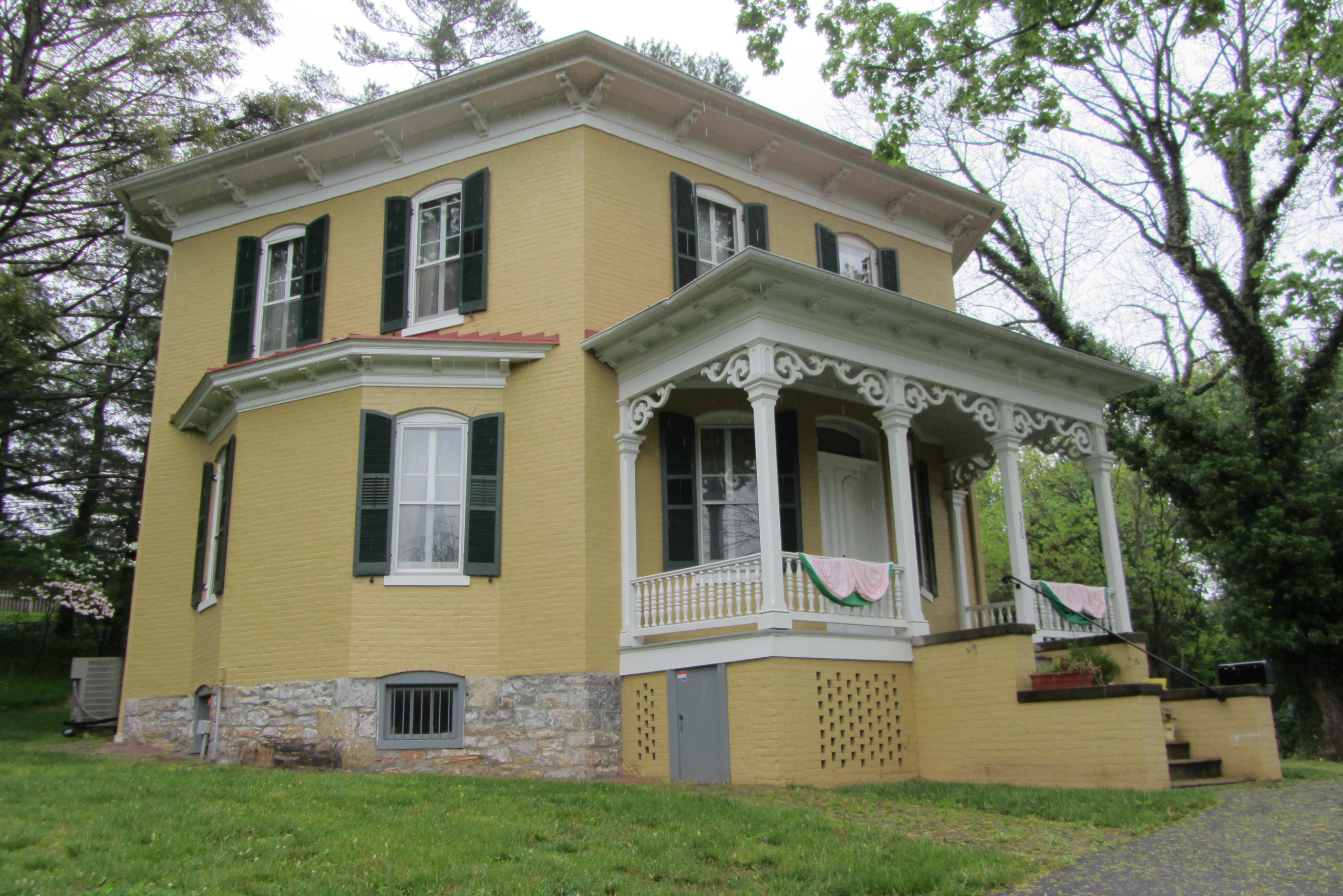
Hexagon House, Winchester
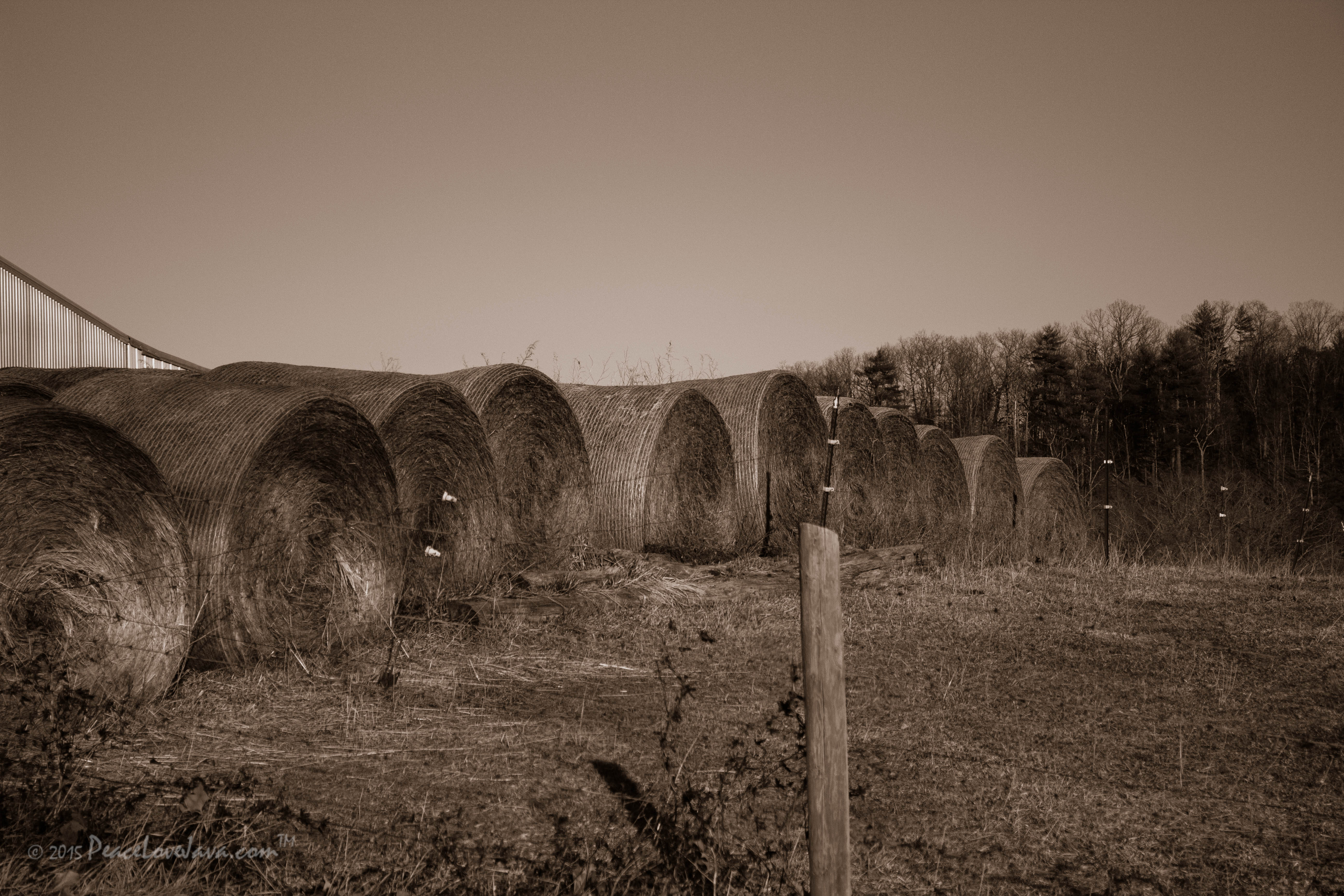
Virginia Farm Land
Sunrise over NSSA
The Shadow

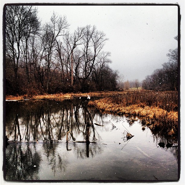
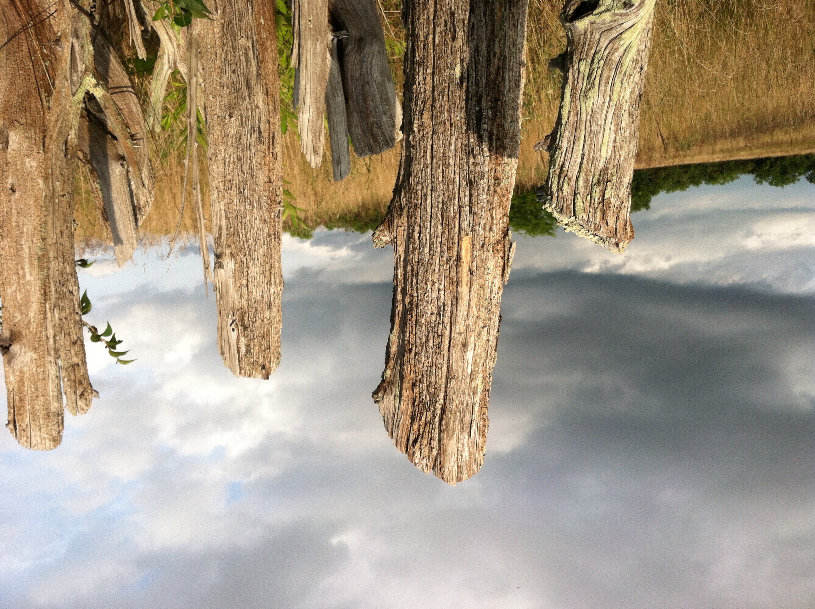
Marl Marsh
Cherry picking
Snow along the banks of Red Bud Run

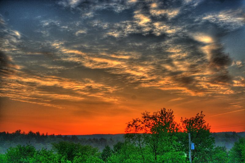
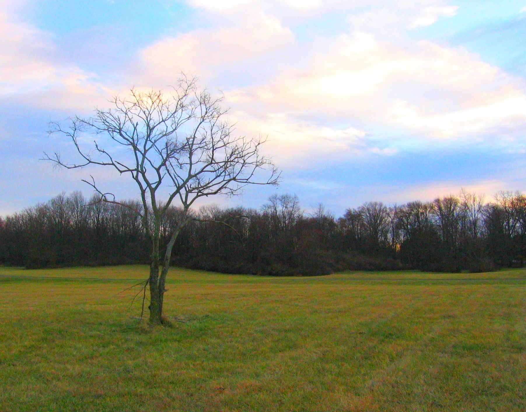
The tree and the sun
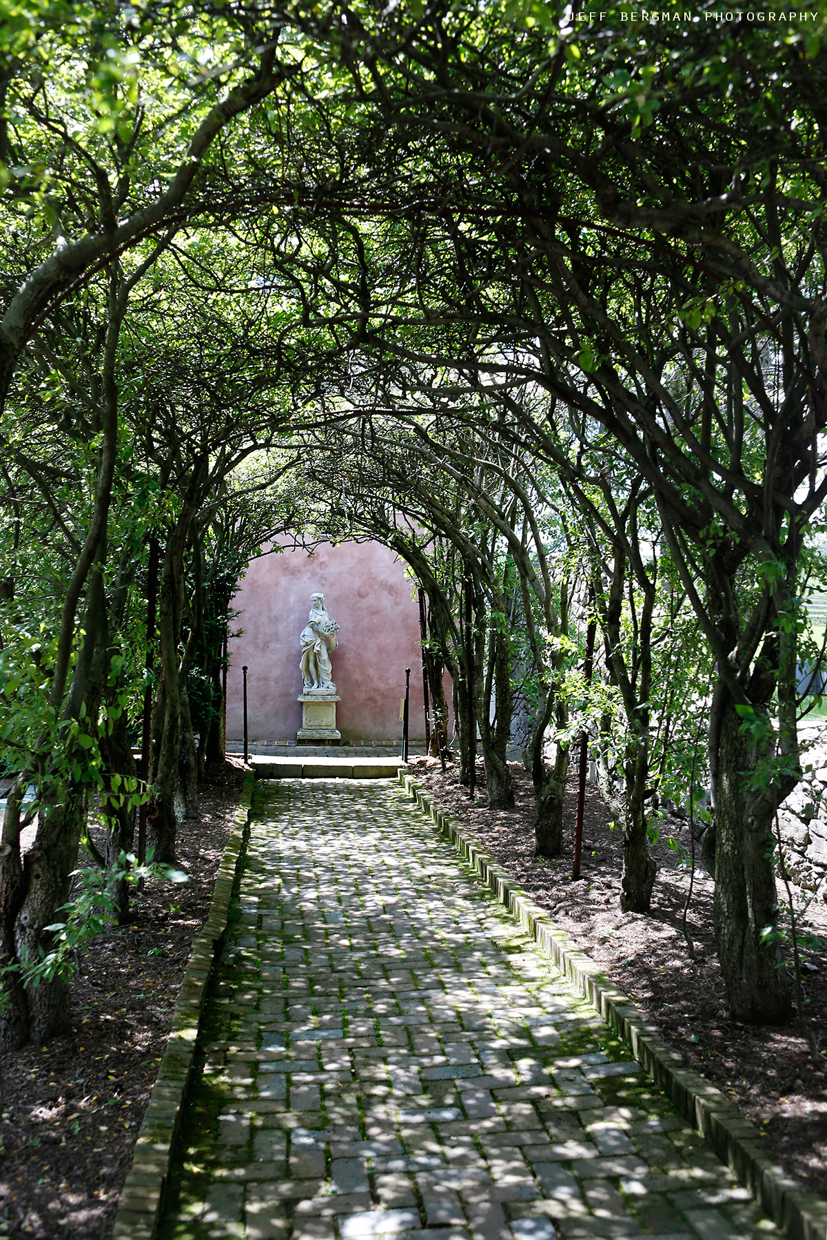
Glen Burnie Gardens - Pleached Alee

HyperFest 2012
#westvirginia

Senseny Road

Marl Marsh
Like the midwest
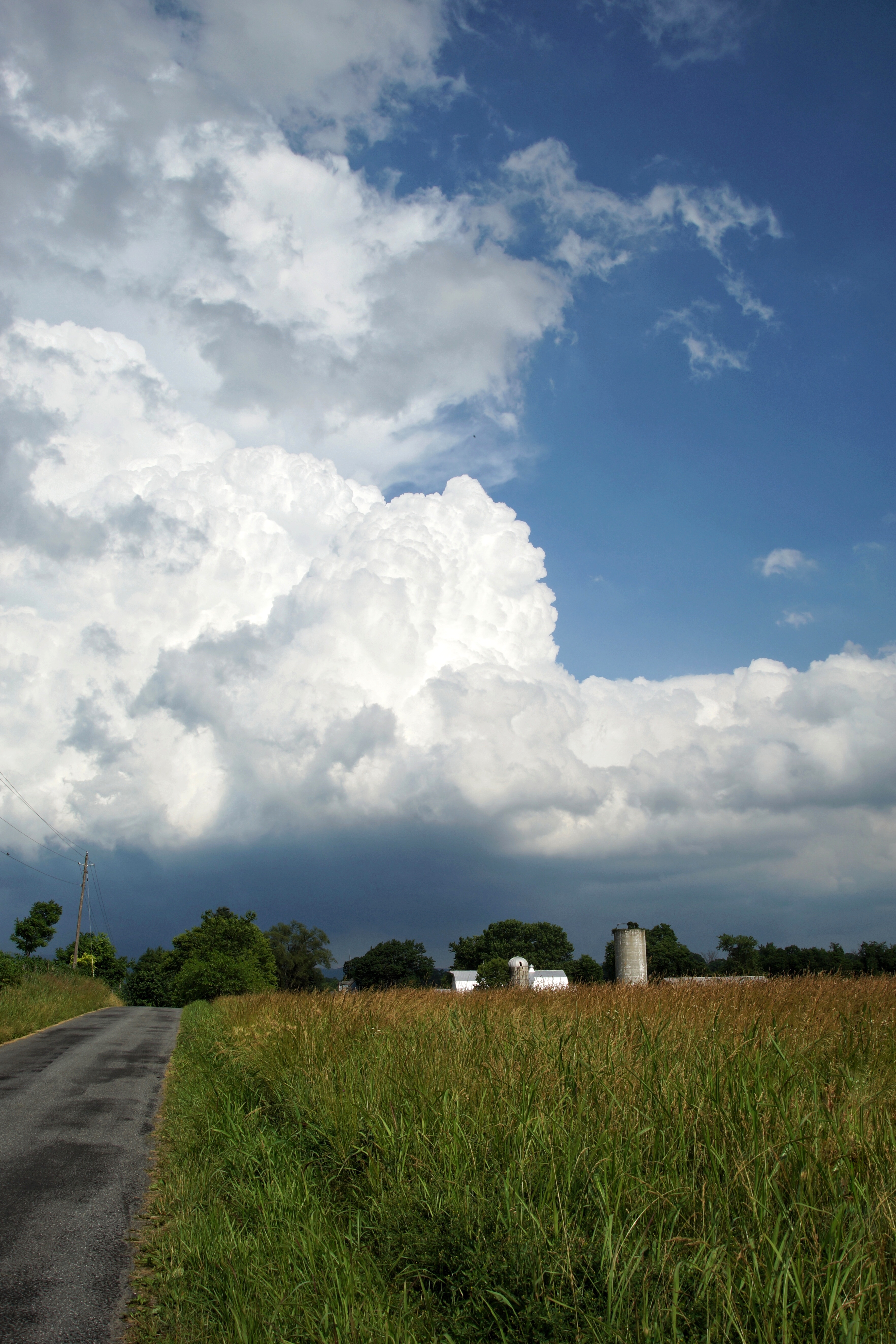
Pastoral scene with texture
Snow is pretty in #Virginia
Civil war trail
Day 34: 12/28/08
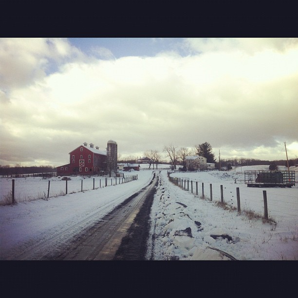
Snow again, Berryville. Off to Charlottesville this morning.
Topographic Map of Jordan Springs Rd, Stephenson, VA, USA
Find elevation by address:

Places near Jordan Springs Rd, Stephenson, VA, USA:
Old Charles Town Rd, Stephenson, VA, USA
376 Devil's Backbone Overlook
254 Littler Ln
Stephenson
Clear Brook
2223 Brucetown Rd
Stonewall
654 Fox Dr
Whitacre Street
1629 Pondview Dr
N Frederick Pike, Winchester, VA, USA
678 Green Spring Rd
Bunker Hill
1100 Hunting Ridge Rd
Driftwood Drive
Eyles Lane
Winchester, VA, USA
Gerrardstown
981 Valley View Dr
981 Valley View Dr
Recent Searches:
- Elevation of N, Mt Pleasant, UT, USA
- Elevation of 6 Rue Jules Ferry, Beausoleil, France
- Elevation of Sattva Horizon, 4JC6+G9P, Vinayak Nagar, Kattigenahalli, Bengaluru, Karnataka, India
- Elevation of Great Brook Sports, Gold Star Hwy, Groton, CT, USA
- Elevation of 10 Mountain Laurels Dr, Nashua, NH, USA
- Elevation of 16 Gilboa Ln, Nashua, NH, USA
- Elevation of Laurel Rd, Townsend, TN, USA
- Elevation of 3 Nestling Wood Dr, Long Valley, NJ, USA
- Elevation of Ilungu, Tanzania
- Elevation of Yellow Springs Road, Yellow Springs Rd, Chester Springs, PA, USA