Elevation of Johnson Hollow, Schuyler, VA, USA
Location: United States > Virginia > Schuyler >
Longitude: -78.73768
Latitude: 37.78084
Elevation: 287m / 942feet
Barometric Pressure: 98KPa
Elevation Map:
Satellite Map:
Related Photos:
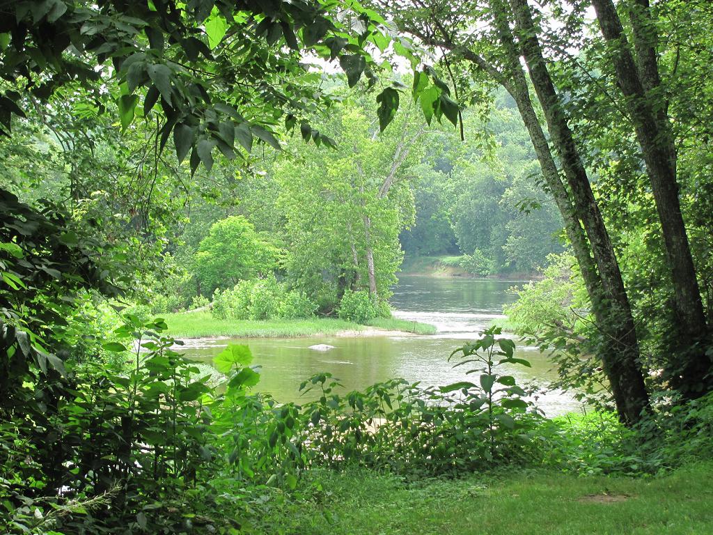
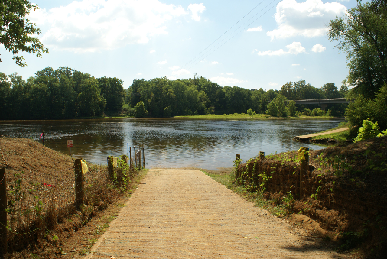
Where Ballenger Creek Meets the James River
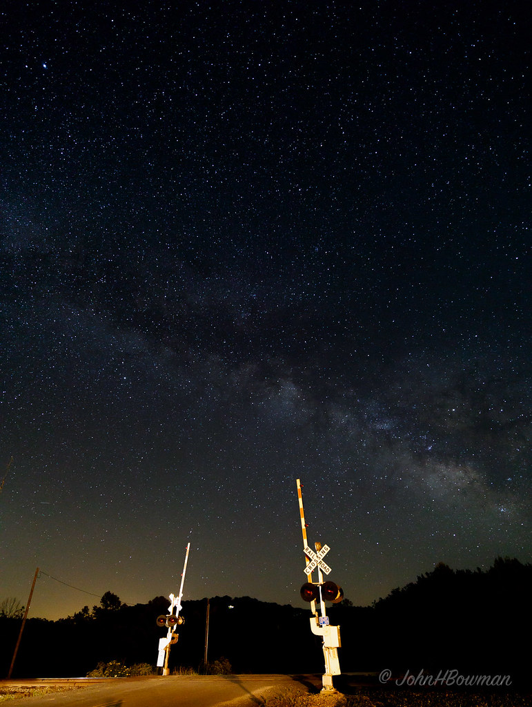
Star-crossed
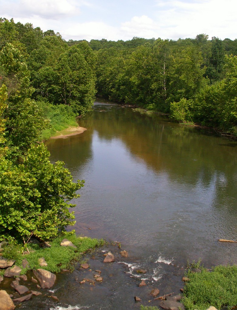
Rockfish River - Schuyler, Virginia
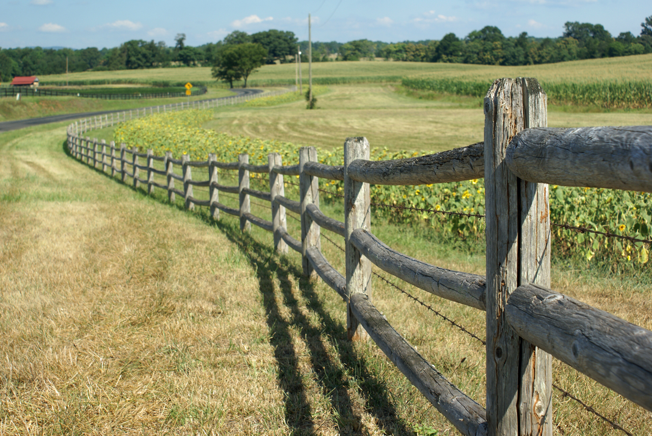
Sunflowers on 626
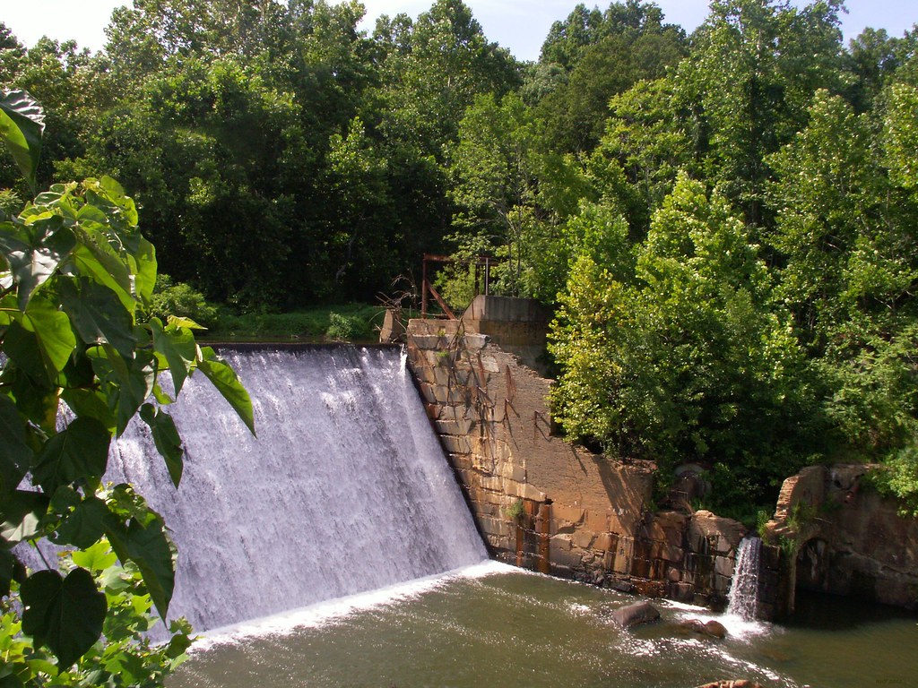
Dam - Schuyler, Virginia

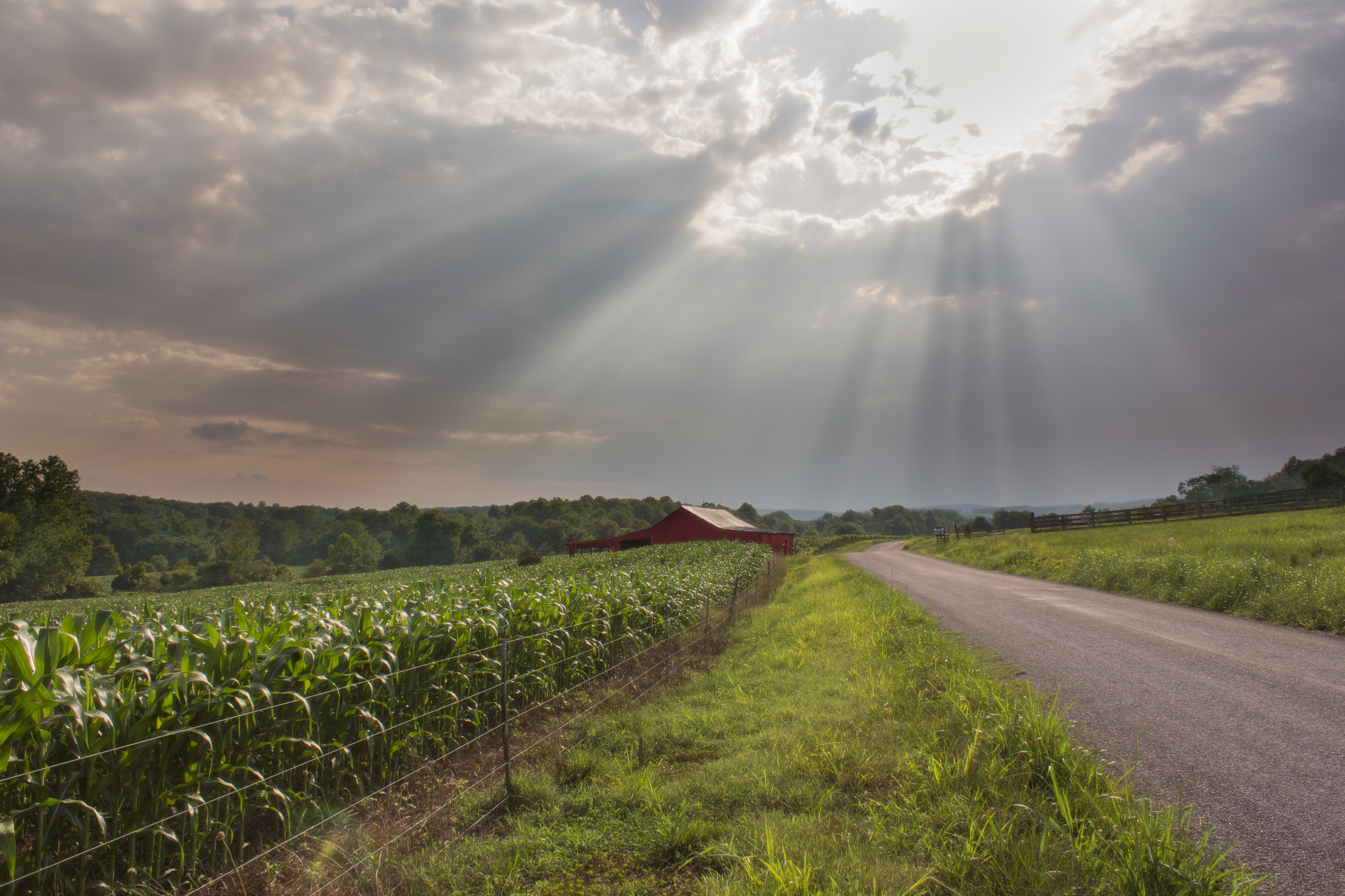
Sunflowers & Barn
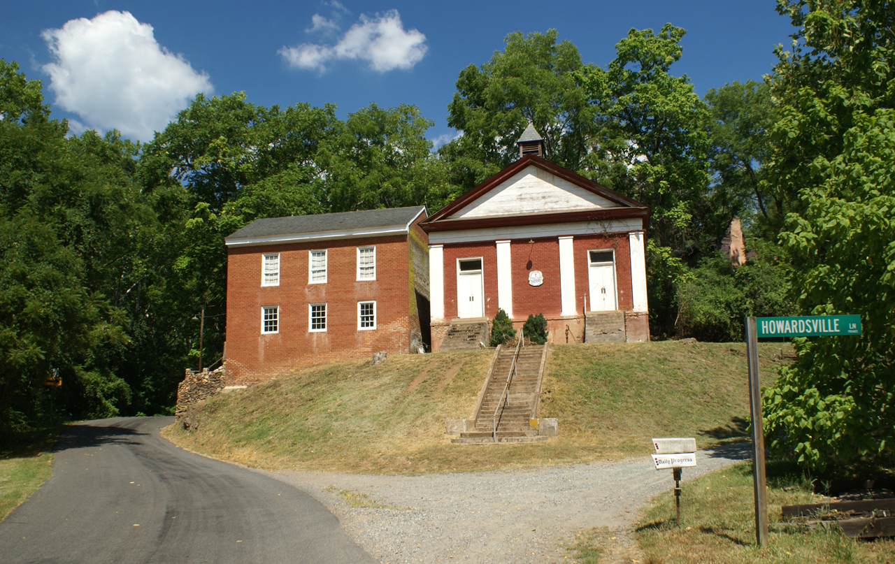
George Lodge 32, Howardsville
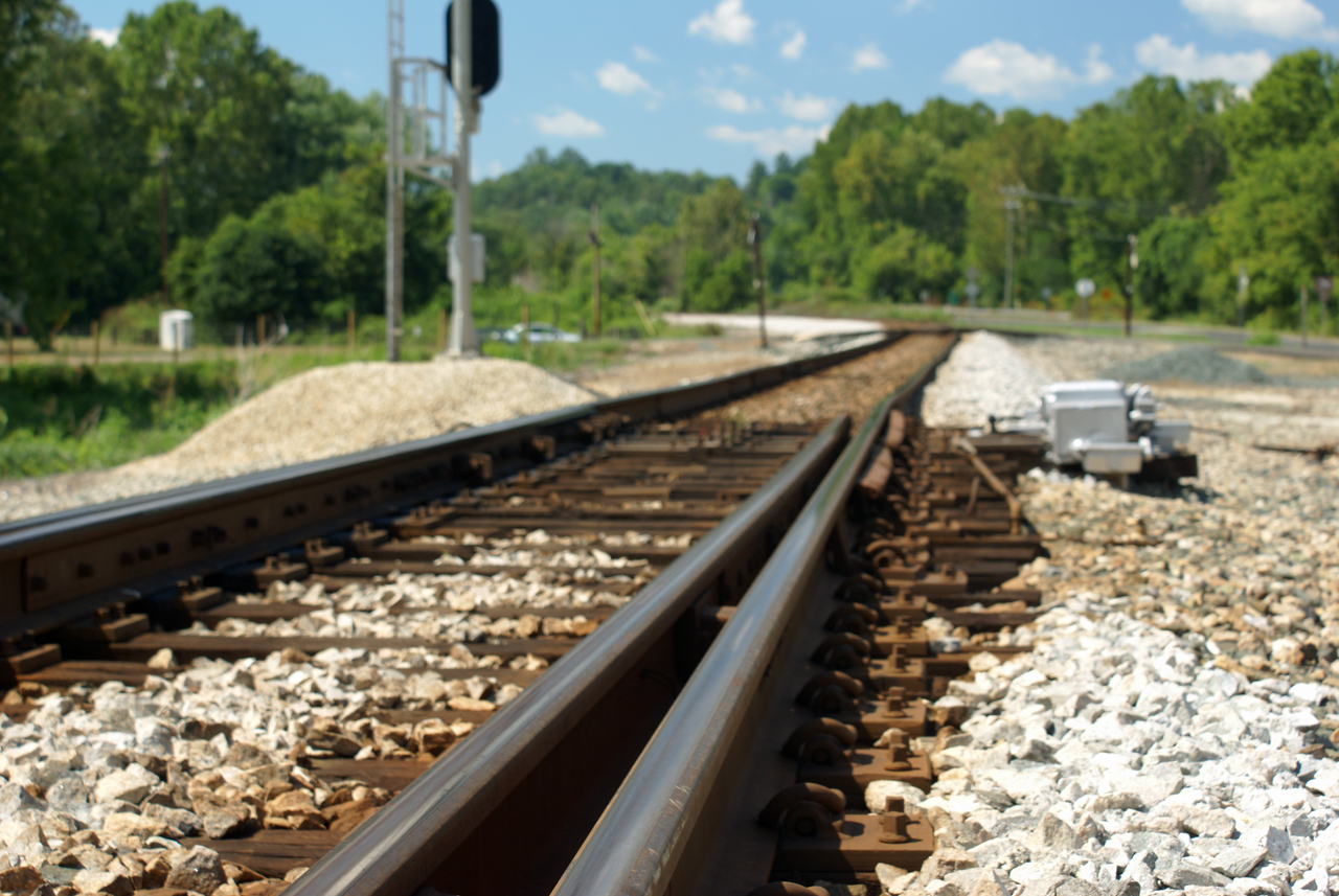
Howardsville Tracks

View.

savi naps.
Baber's Landing
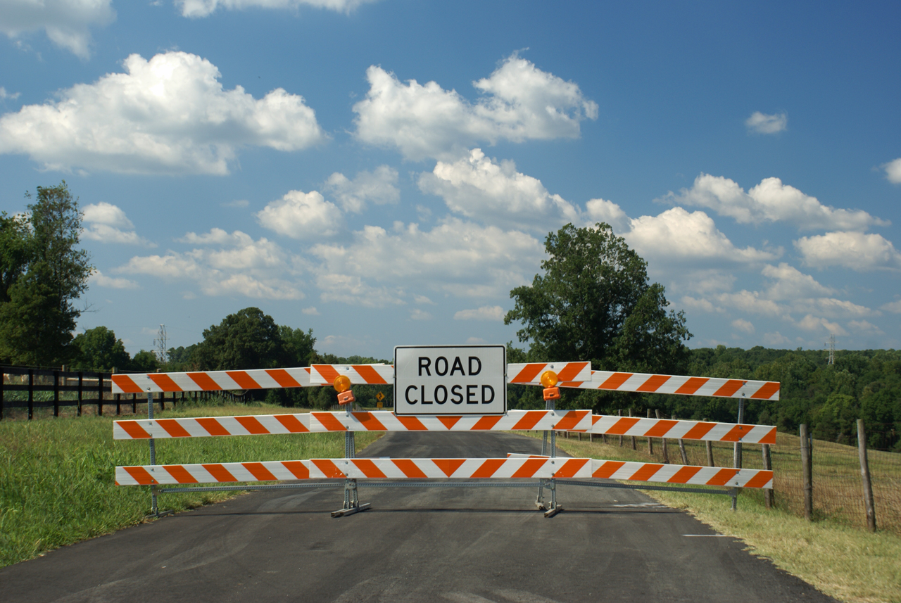
Route 626 Detour

Go Fly a Kite!

Roberts and Horseshoe Mountains
Church Tower - Schuyler, Virginia
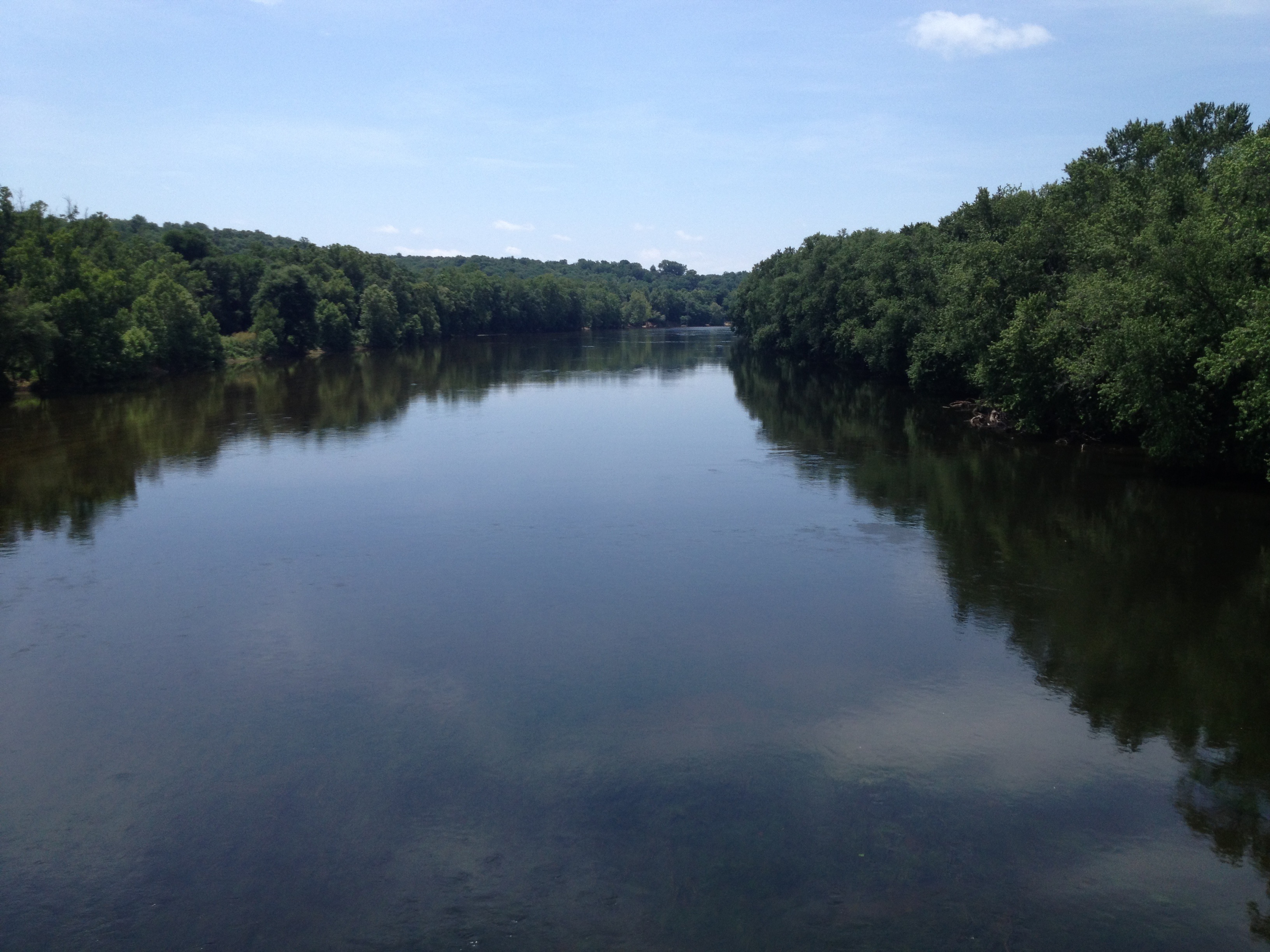
the mighty James... looking good...
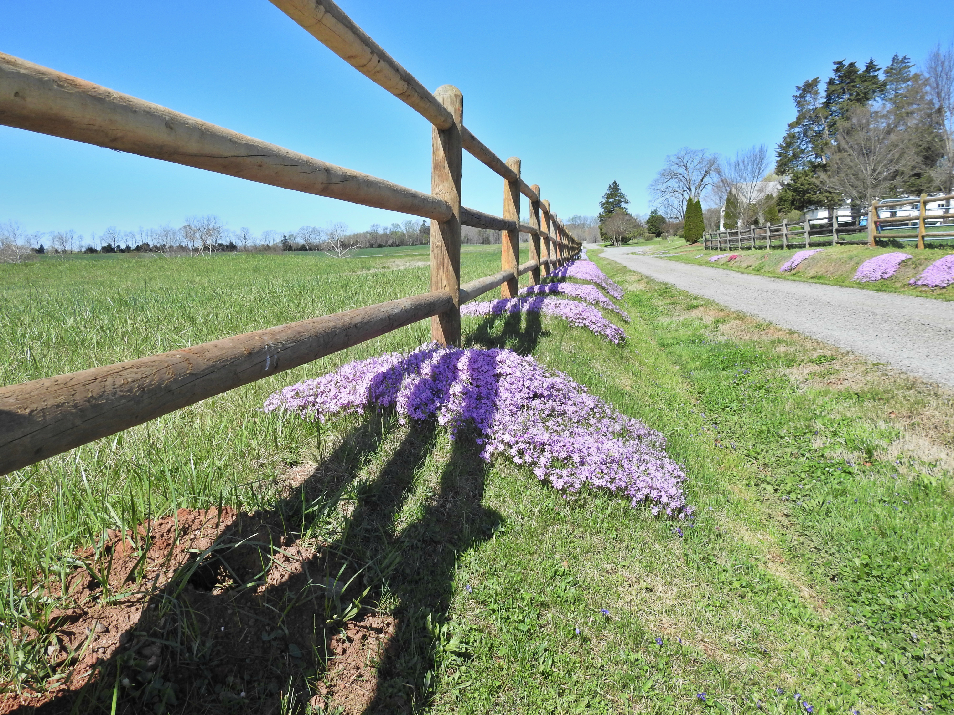
Liberty Corner Farm ground cover

#AvonHill #Howardsville #AppalachianTrail #RockFish #Valley #Landscape #Thursday #Hike #Travel #Explore #Adventure #Instatravel

Flowing water at Fortune's Cove
Freshwater Cove Panoramic
20140204_0023.v01
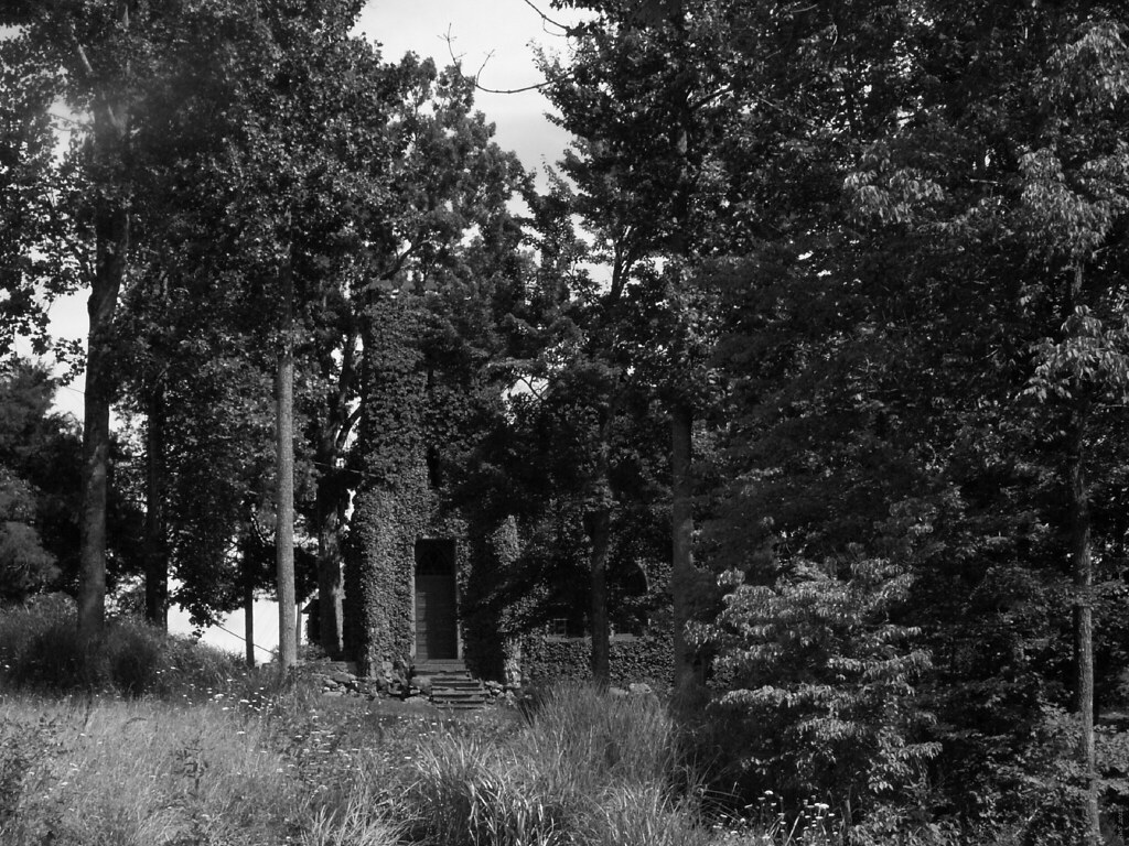
Abandoned - Schuyler, Virginia
2013-10-06 13.36.15

DelFosse Vineyards and Winery
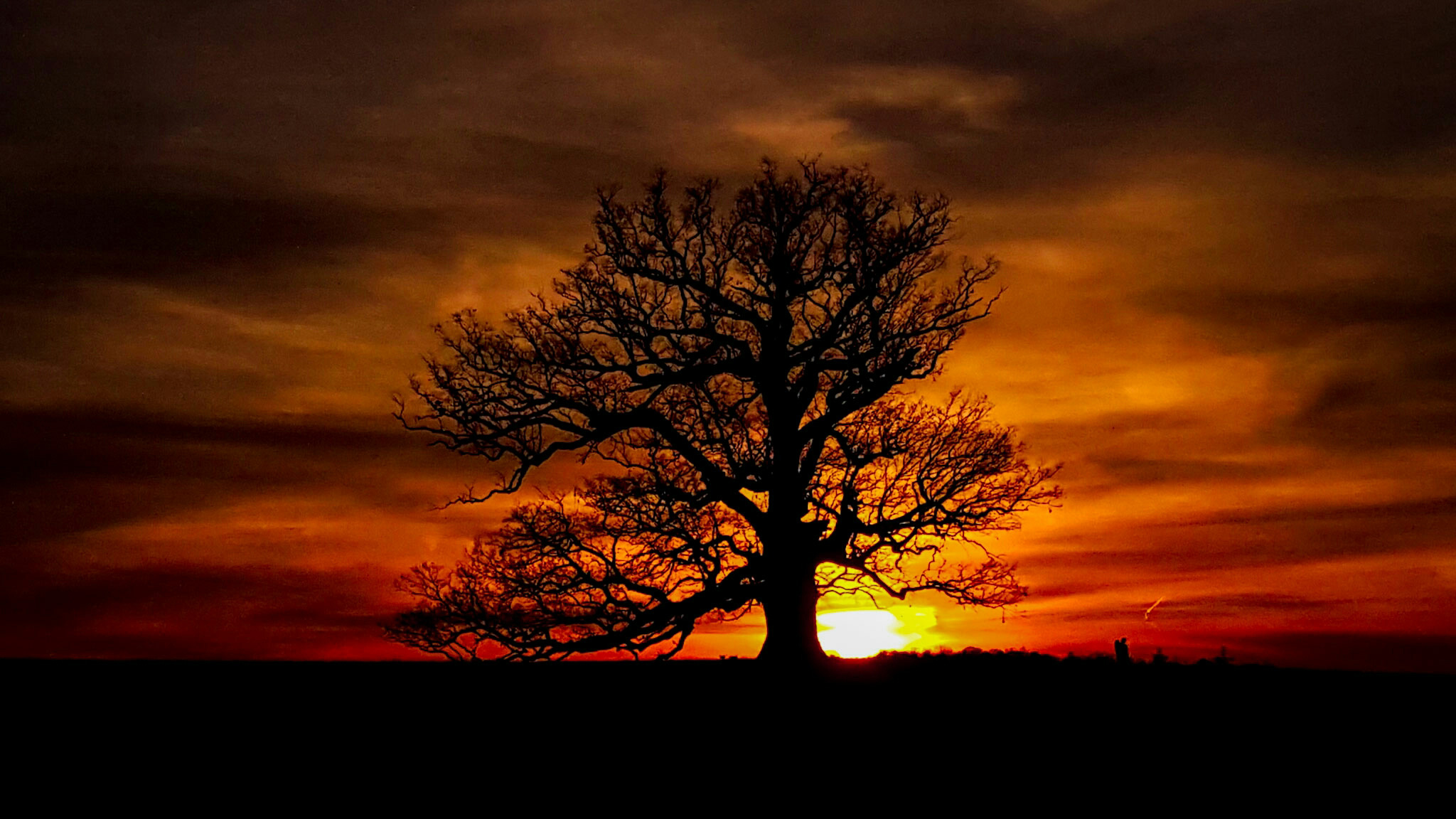
Oak Ridge Estate sunset
Dolan's Farm at Norwood
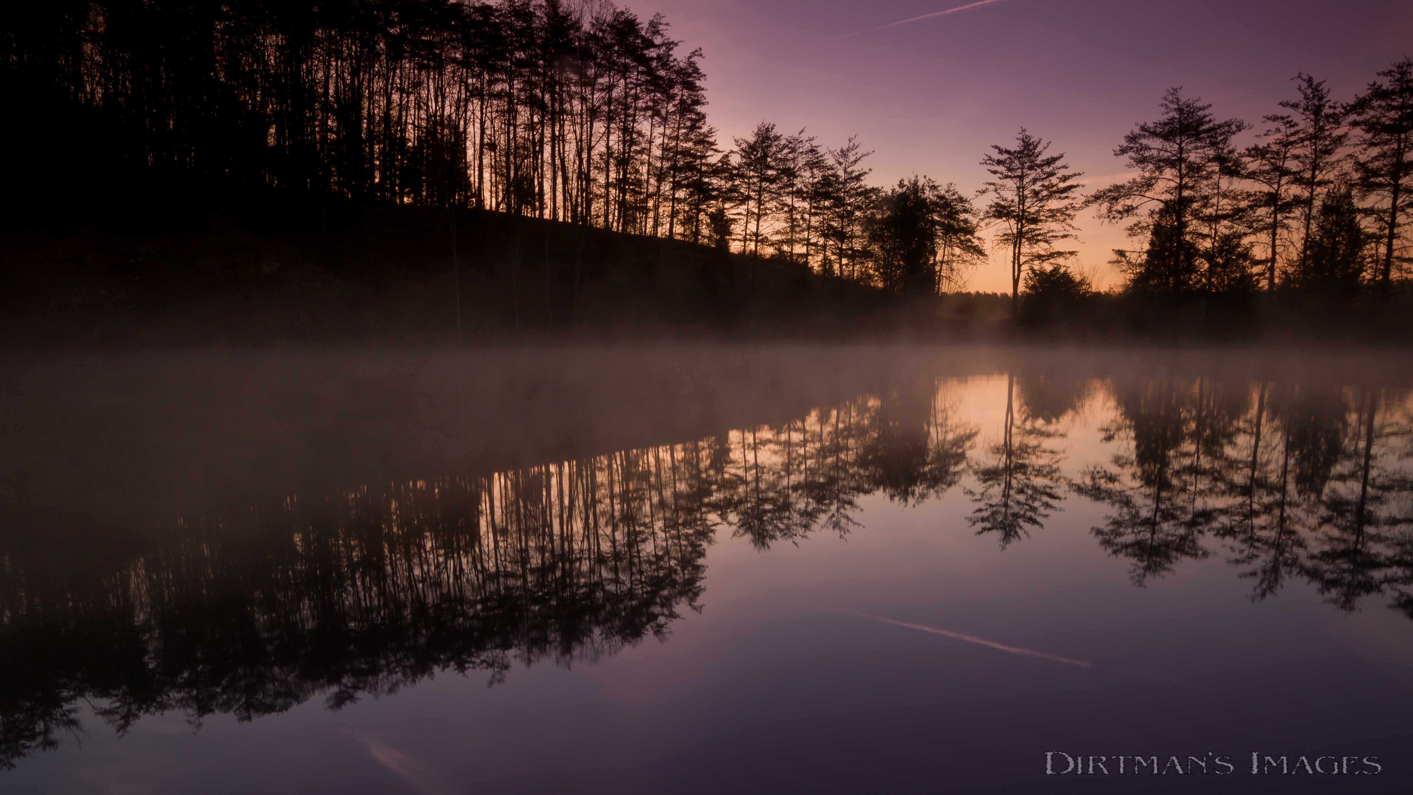
Phoenix Quarry Sunrise

Del Fossee Vineyards & Winery - Faber, VA
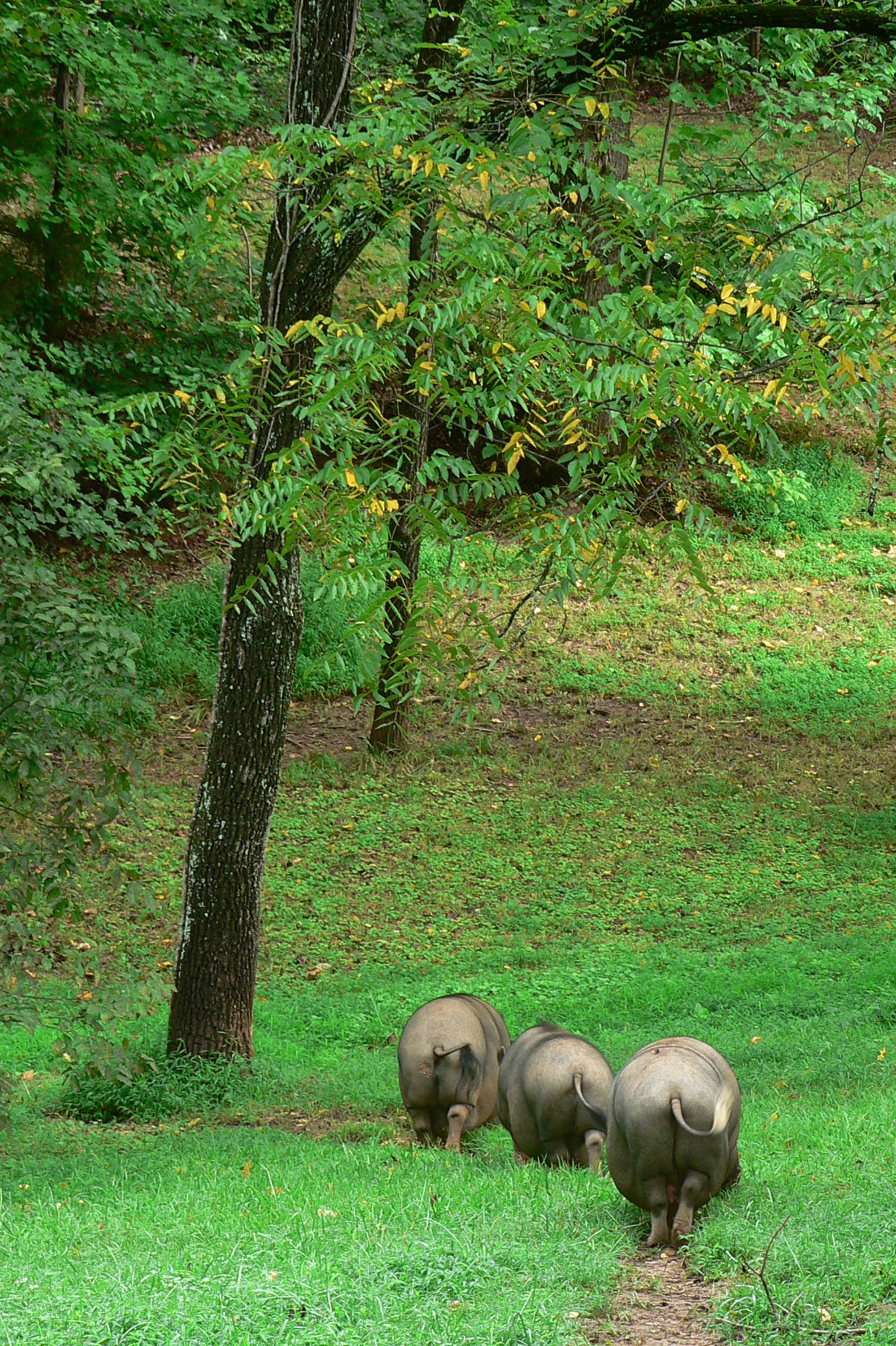
three orderly pigs
Topographic Map of Johnson Hollow, Schuyler, VA, USA
Find elevation by address:

Places near Johnson Hollow, Schuyler, VA, USA:
Sunshine Lane
Schuyler
904 Rockfish Crossing
7345 Carter Rd
Glade Road
1843 Cabell Rd
Cabell Rd, Howardsville, VA, USA
Howardsville
Howardsville
Howardsville
Howardsville
Howardsville
Howardsville
Howardsville
Howardsville
Howardsville
Howardsville
Howardsville
Howardsville
Howardsville
Recent Searches:
- Elevation of Congressional Dr, Stevensville, MD, USA
- Elevation of Bellview Rd, McLean, VA, USA
- Elevation of Stage Island Rd, Chatham, MA, USA
- Elevation of Shibuya Scramble Crossing, 21 Udagawacho, Shibuya City, Tokyo -, Japan
- Elevation of Jadagoniai, Kaunas District Municipality, Lithuania
- Elevation of Pagonija rock, Kranto 7-oji g. 8"N, Kaunas, Lithuania
- Elevation of Co Rd 87, Jamestown, CO, USA
- Elevation of Tenjo, Cundinamarca, Colombia
- Elevation of Côte-des-Neiges, Montreal, QC H4A 3J6, Canada
- Elevation of Bobcat Dr, Helena, MT, USA