Elevation of Cabell Rd, Howardsville, VA, USA
Location: United States > Virginia > Nelson County > Schuyler >
Longitude: -78.657049
Latitude: 37.7207863
Elevation: 129m / 423feet
Barometric Pressure: 100KPa
Elevation Map:
Satellite Map:
Related Photos:

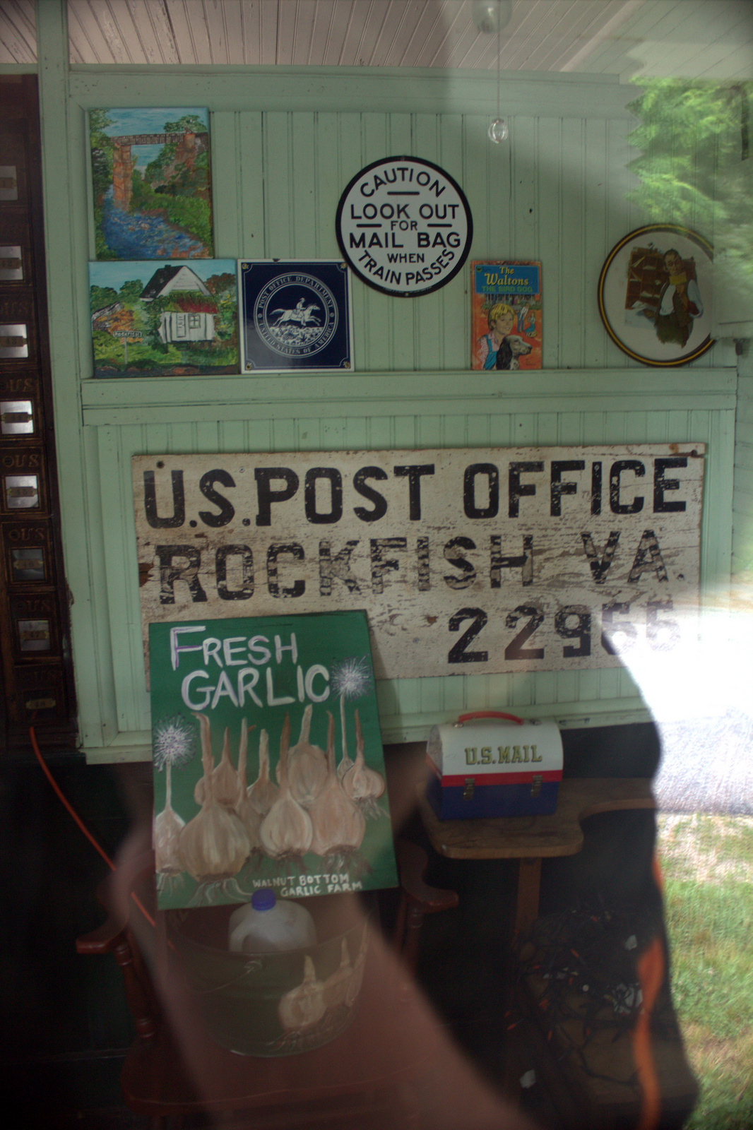
View from the Porch
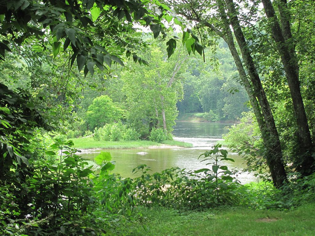
Where Ballenger Creek Meets the James River
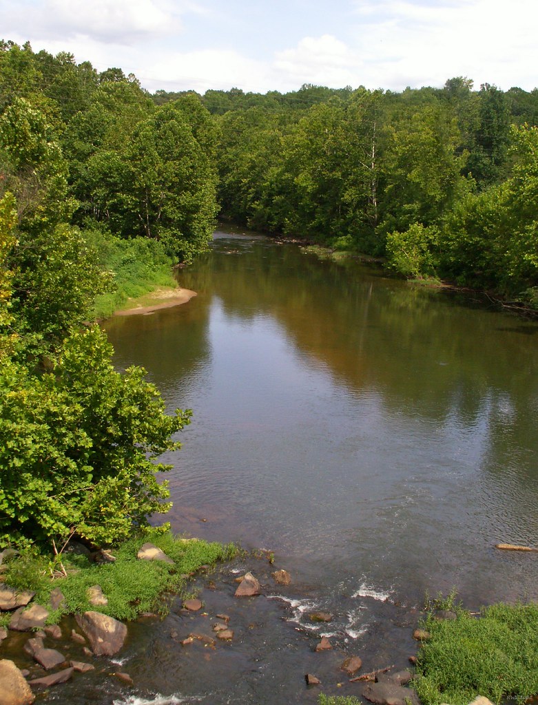
Rockfish River - Schuyler, Virginia
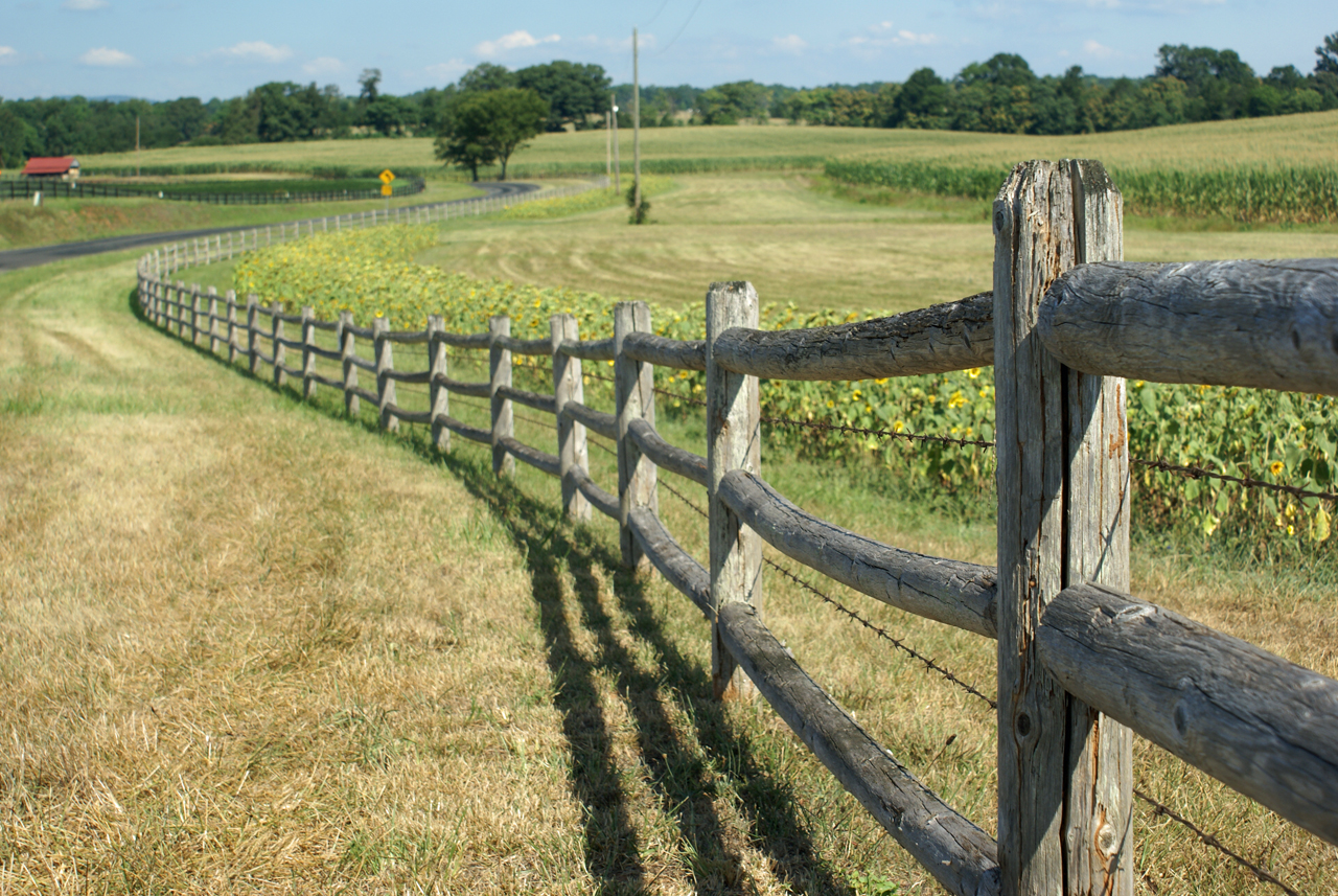
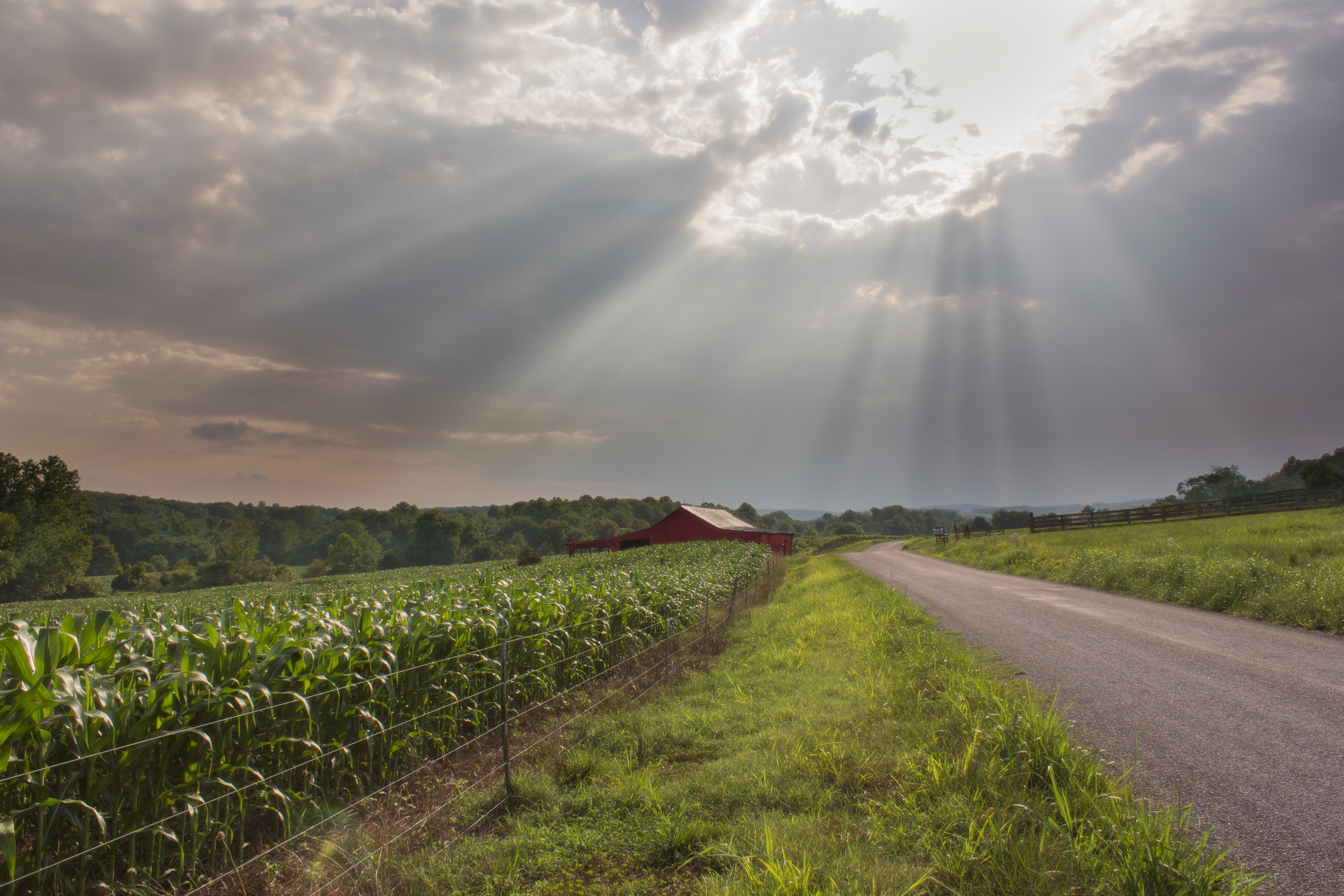
Sunflowers on 626
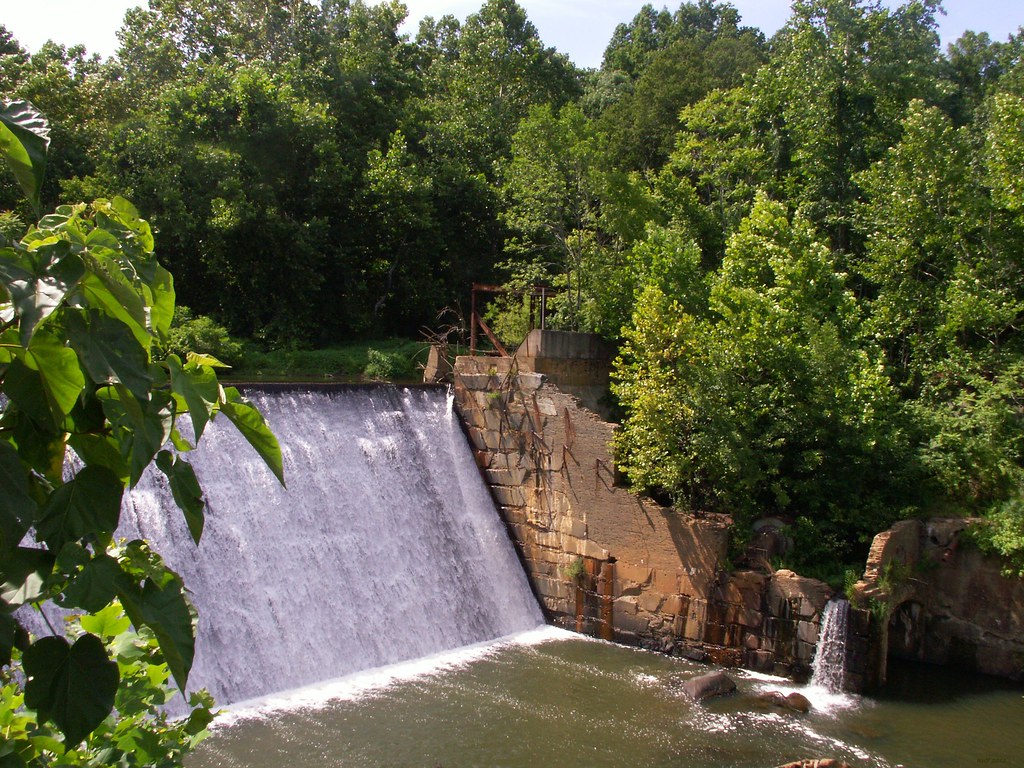
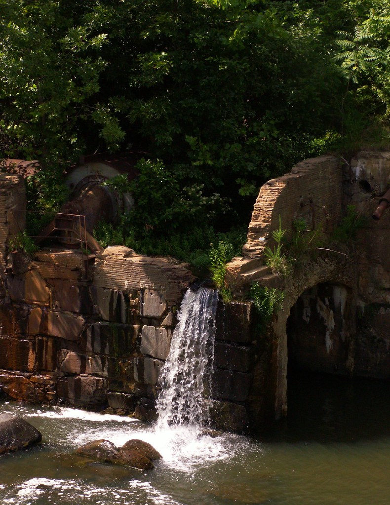
Dam - Schuyler, Virginia
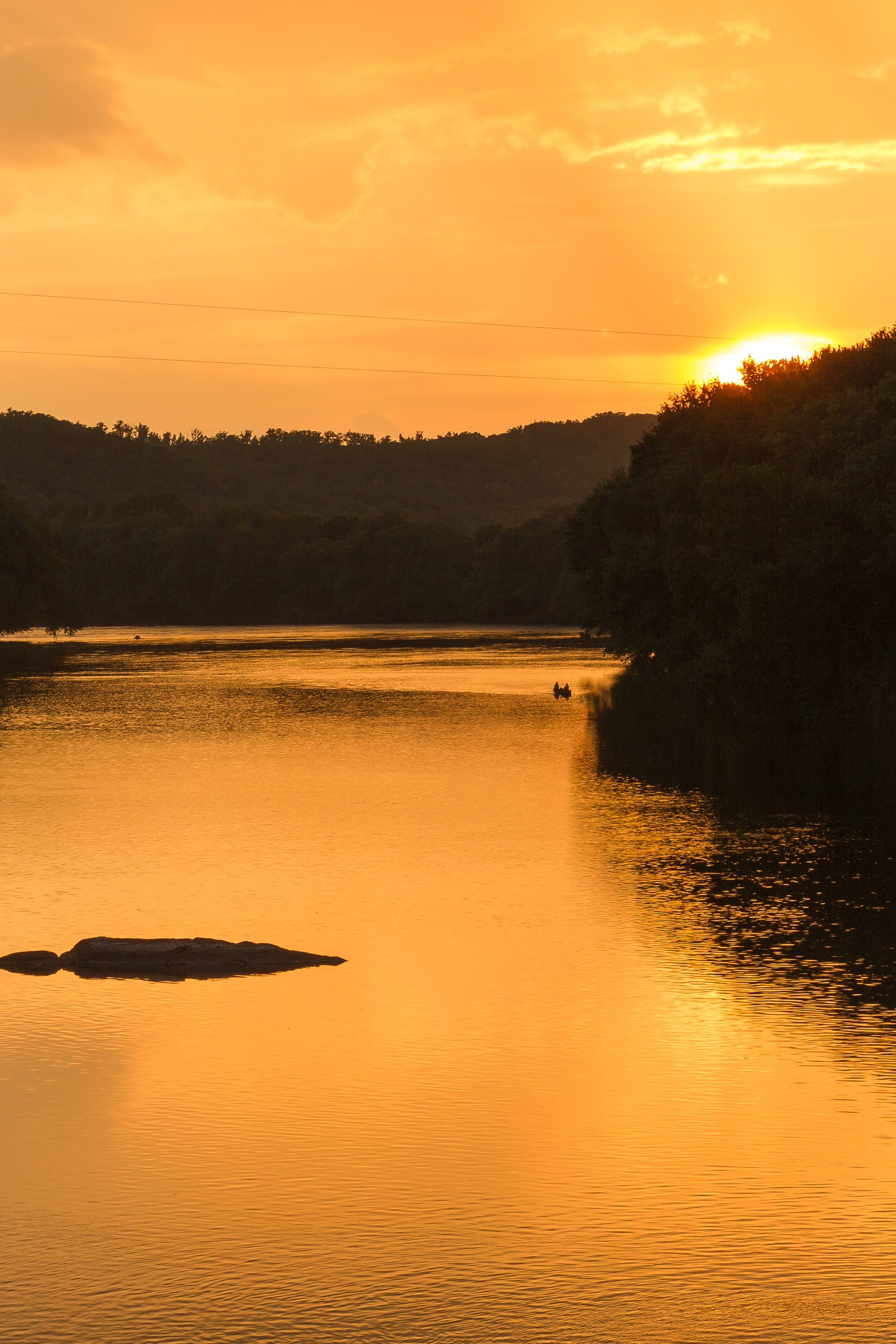
Sundown at Wingina

Sunflowers & Barn
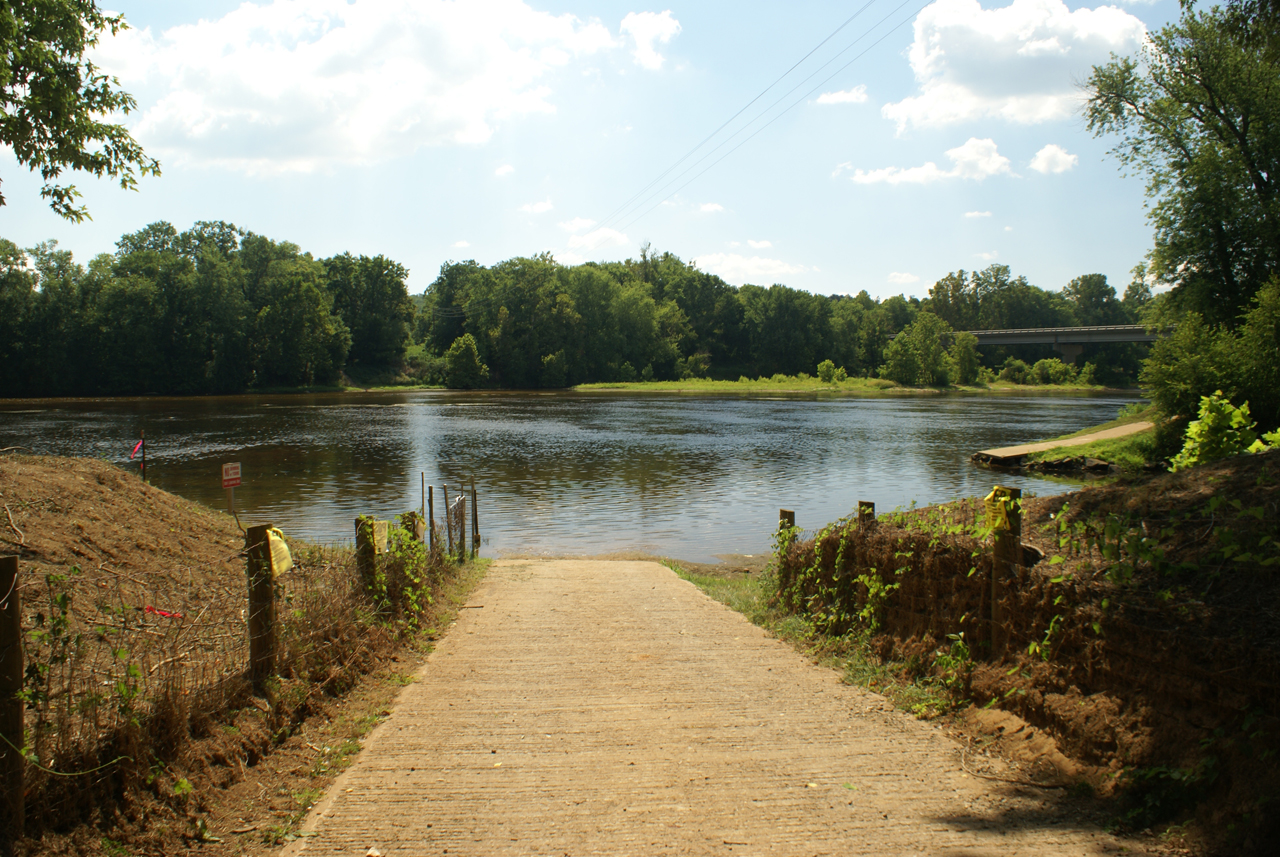
Baber's Landing
Buckingham, VA 028
George Lodge 32, Howardsville

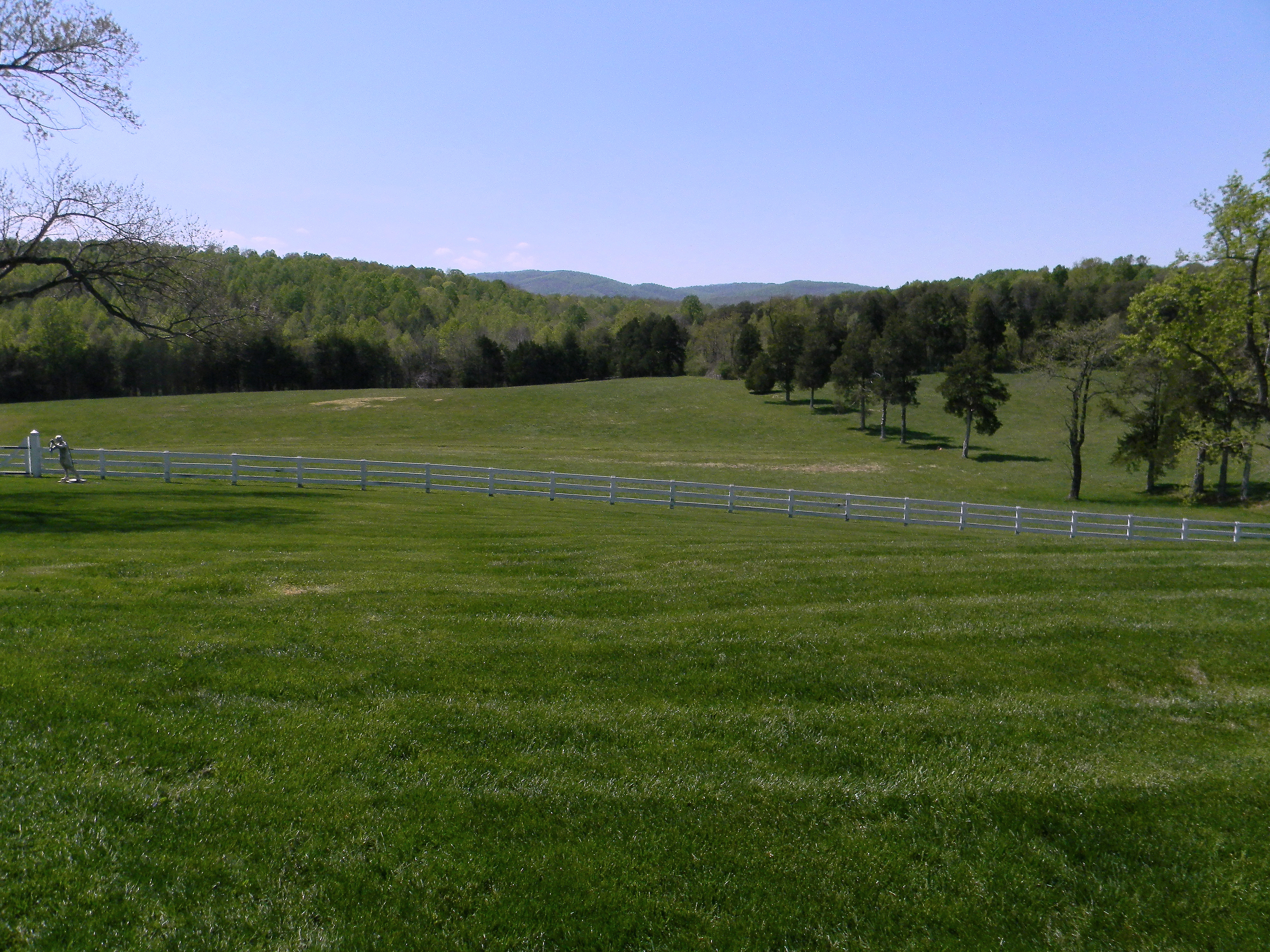
View from Farrar Bridge Road
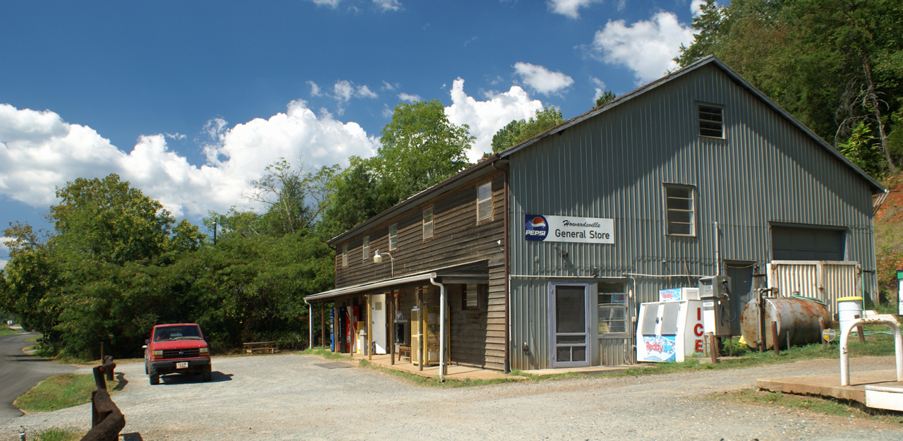
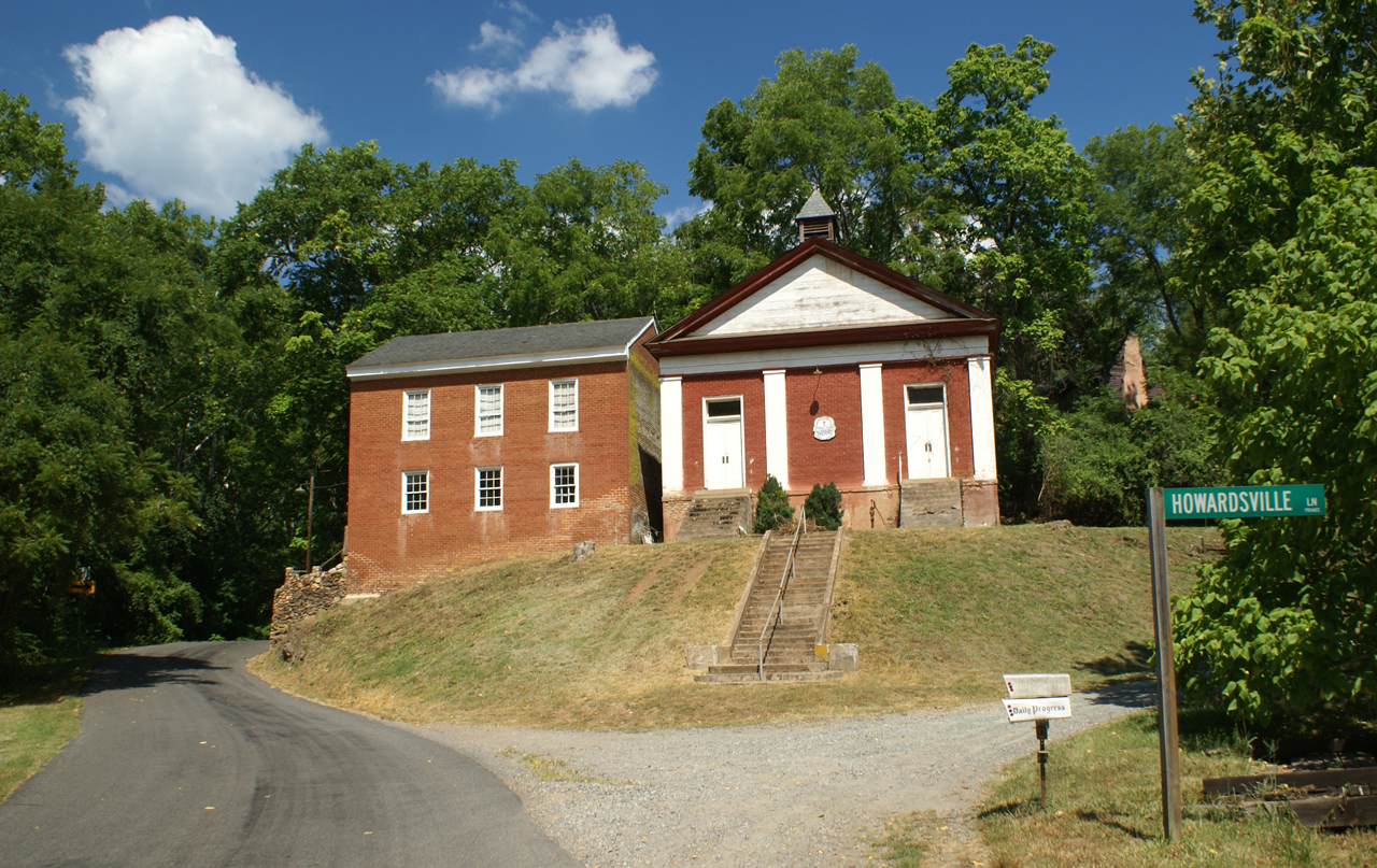
Howardsville General Store
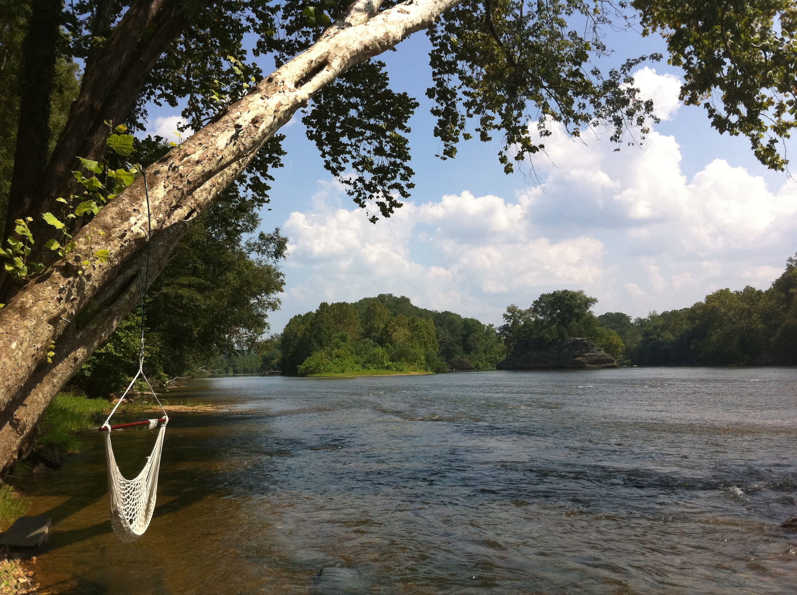
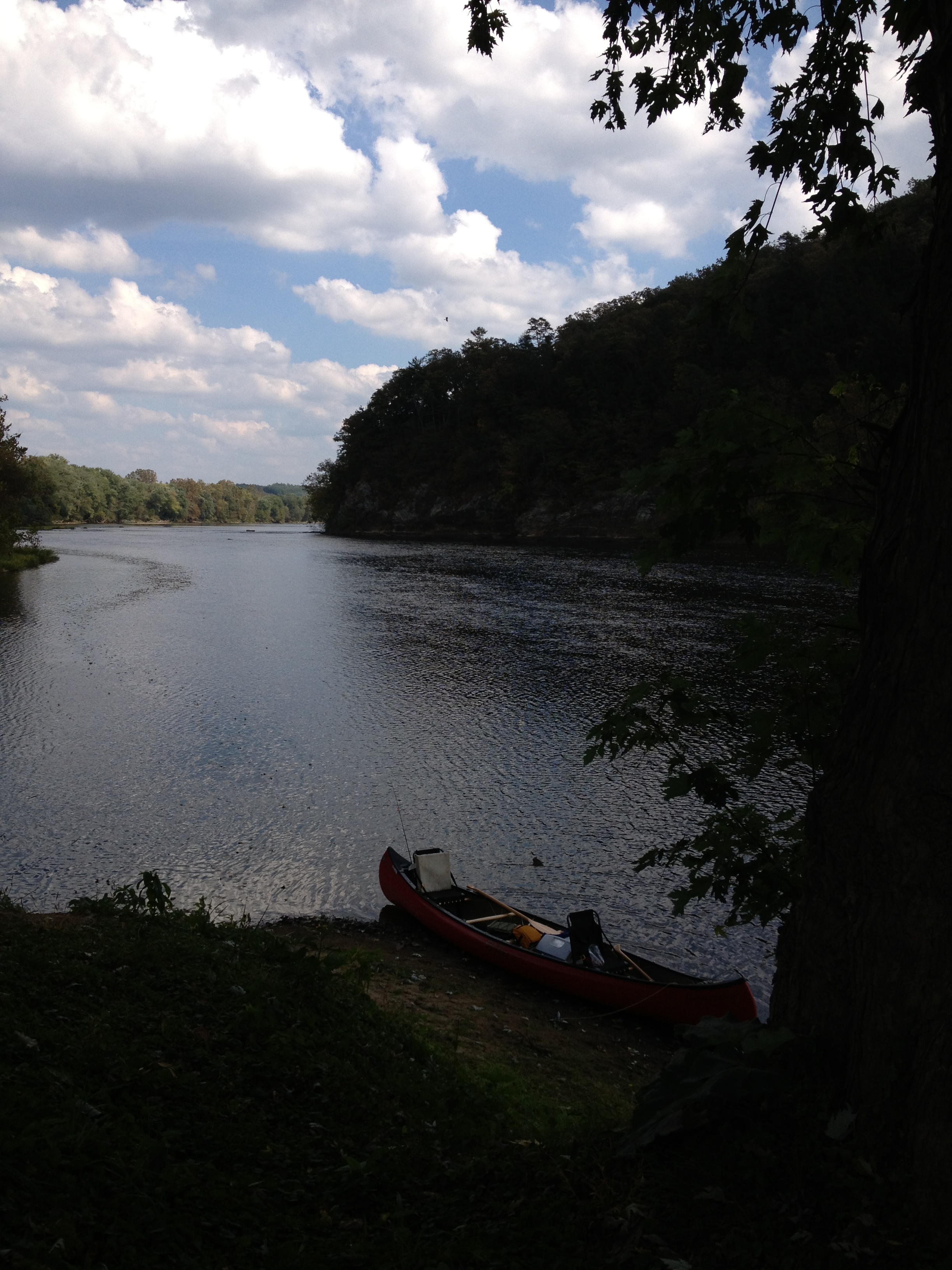
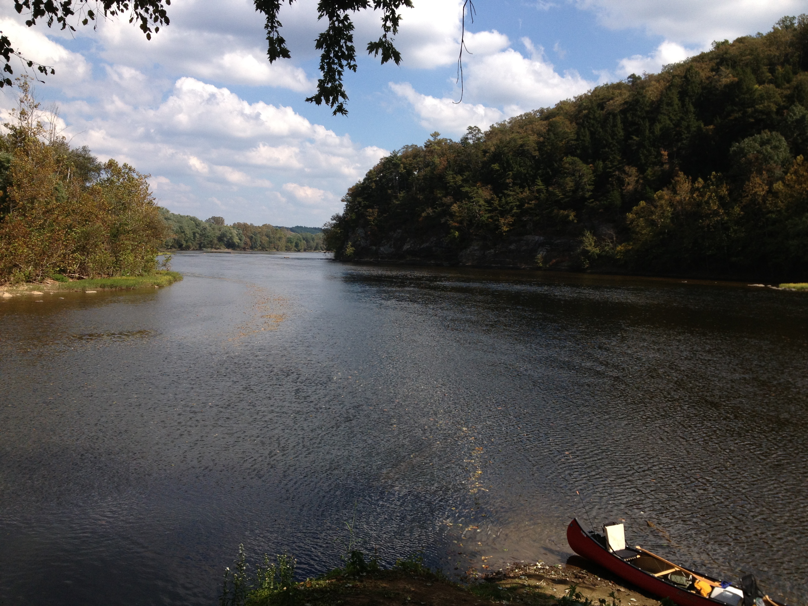
The view from the campsite
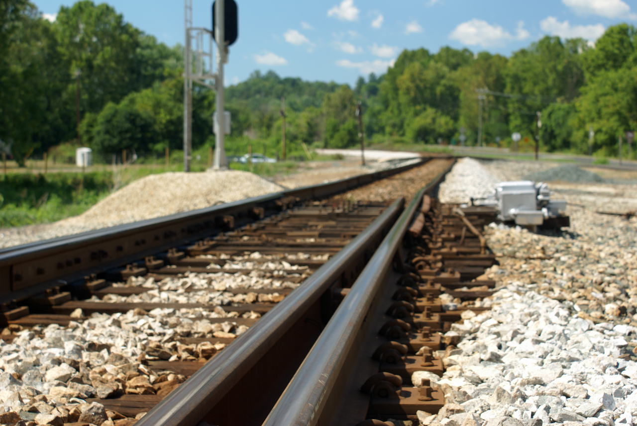
Howardsville Tracks
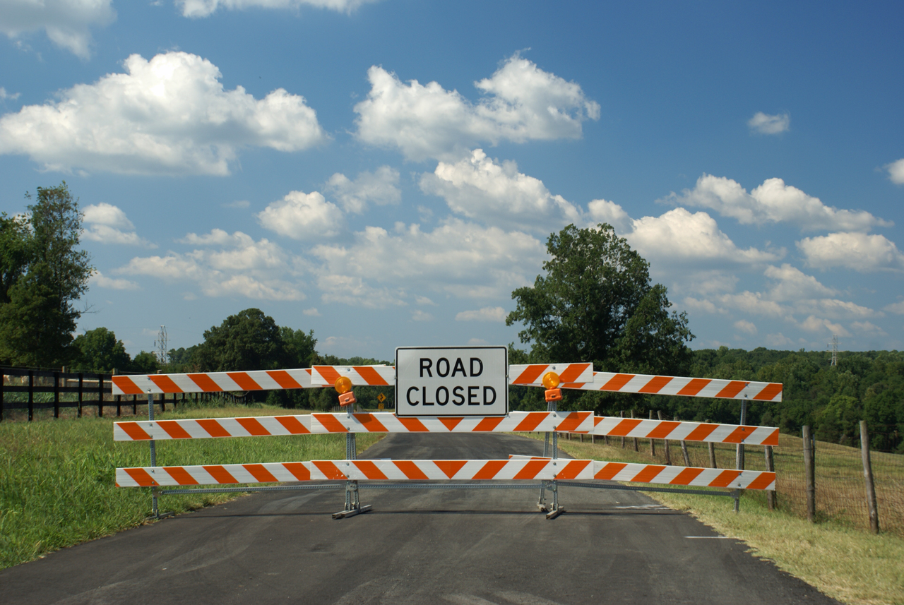
Route 626 Detour

Fisheye Classroom

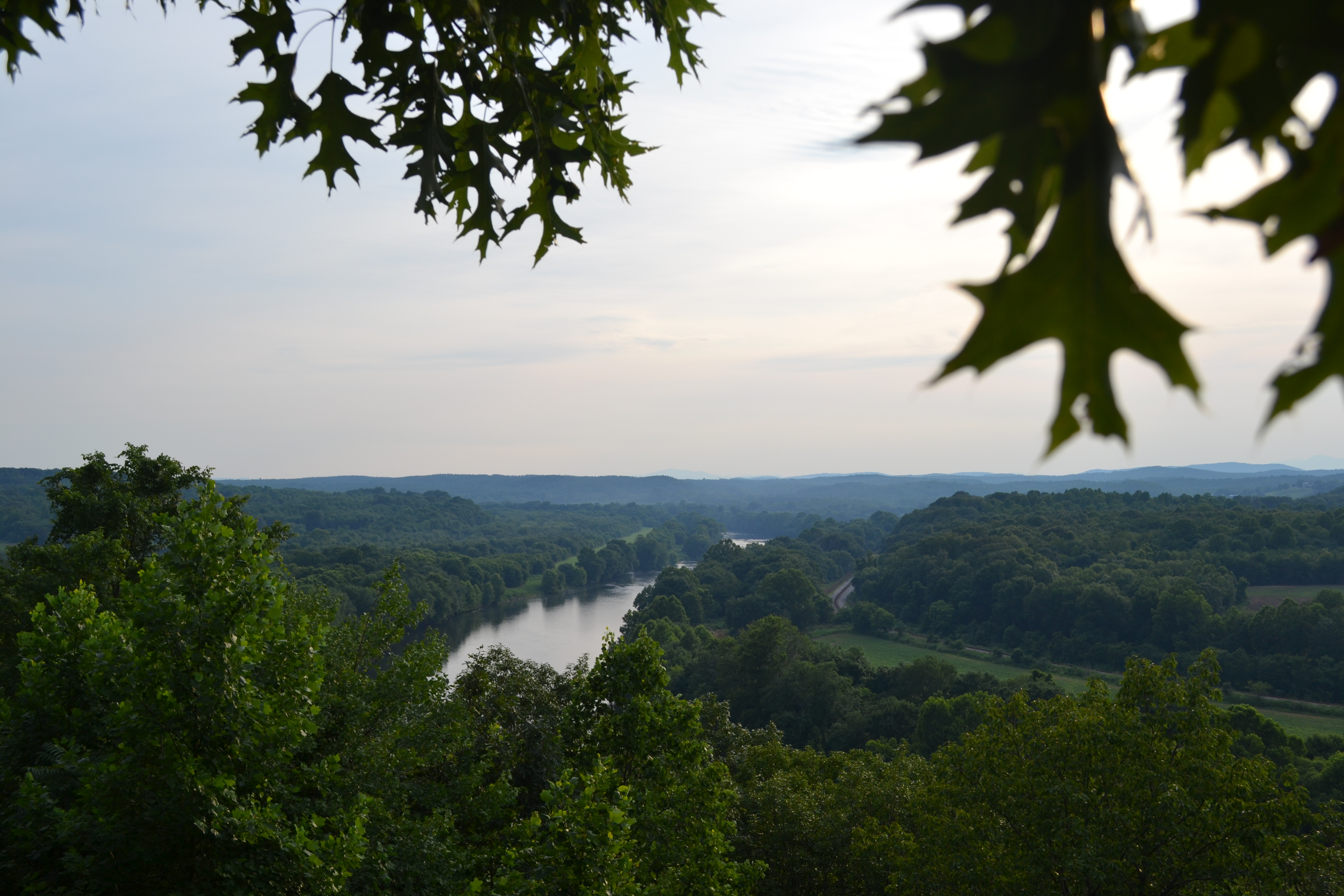
View.
IMG_3695.CR2
Esmont (1819)

#AvonHill #Howardsville #AppalachianTrail #RockFish #Valley #Landscape #Thursday #Hike #Travel #Explore #Adventure #Instatravel
2013-10-06 13.38.21
2013-10-06 13.36.15
Abandoned - Schuyler, Virginia
Dolan's Farm at Norwood

Waltons Mountain Church
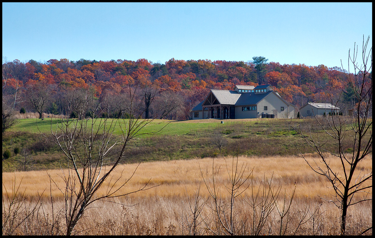
Visitor's Center @ James River State Park Nov 11
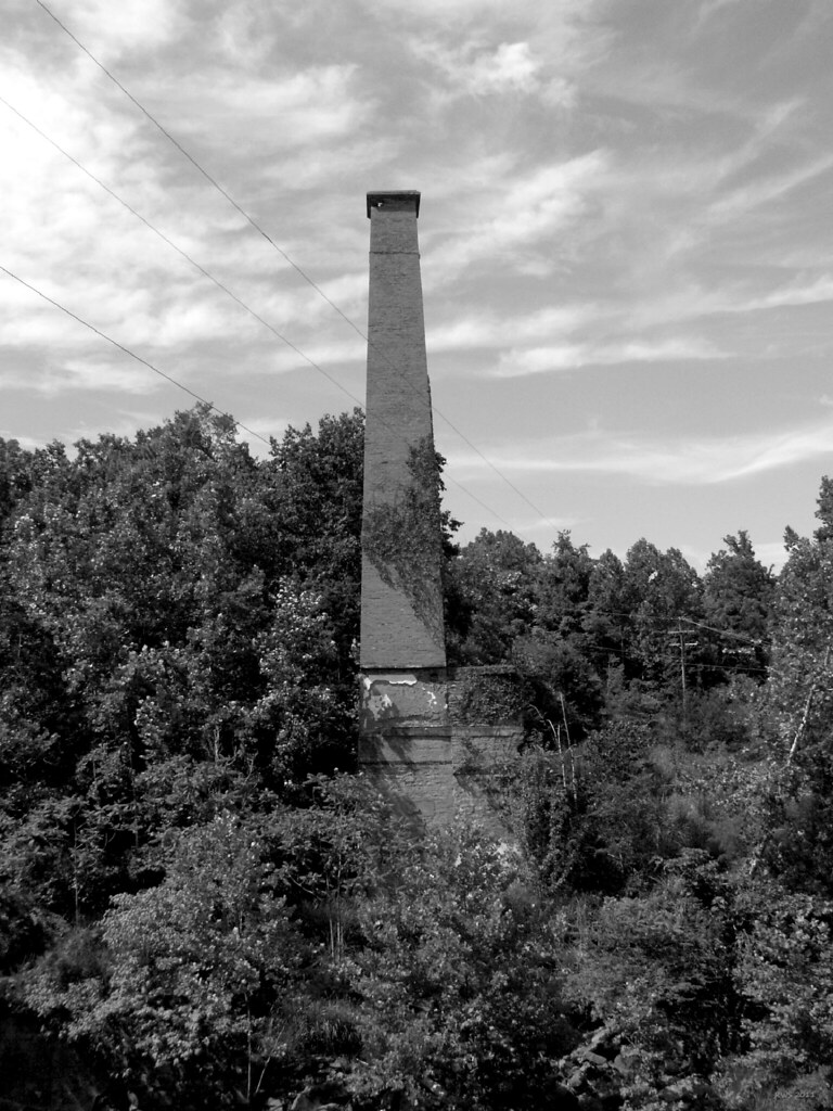
Smokestack - Schuyler, Virginia

Flood Plain
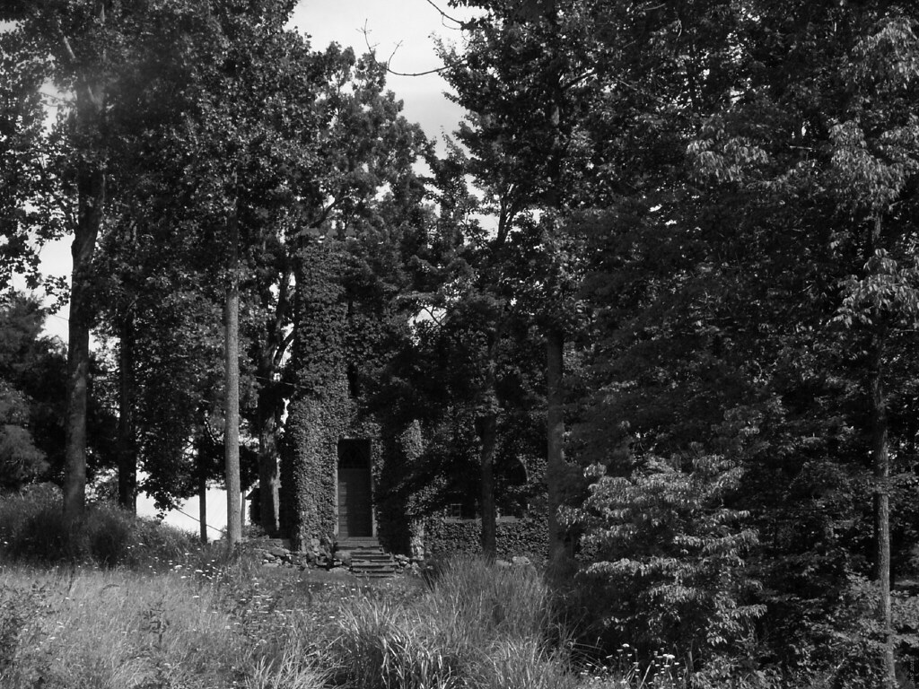
Church Tower - Schuyler, Virginia

#FamilyTies #Virginia #Happy #GoodTimes #Instafamily #Saturday #May #2014 #FamilyPicture #Appalachian #Mountains
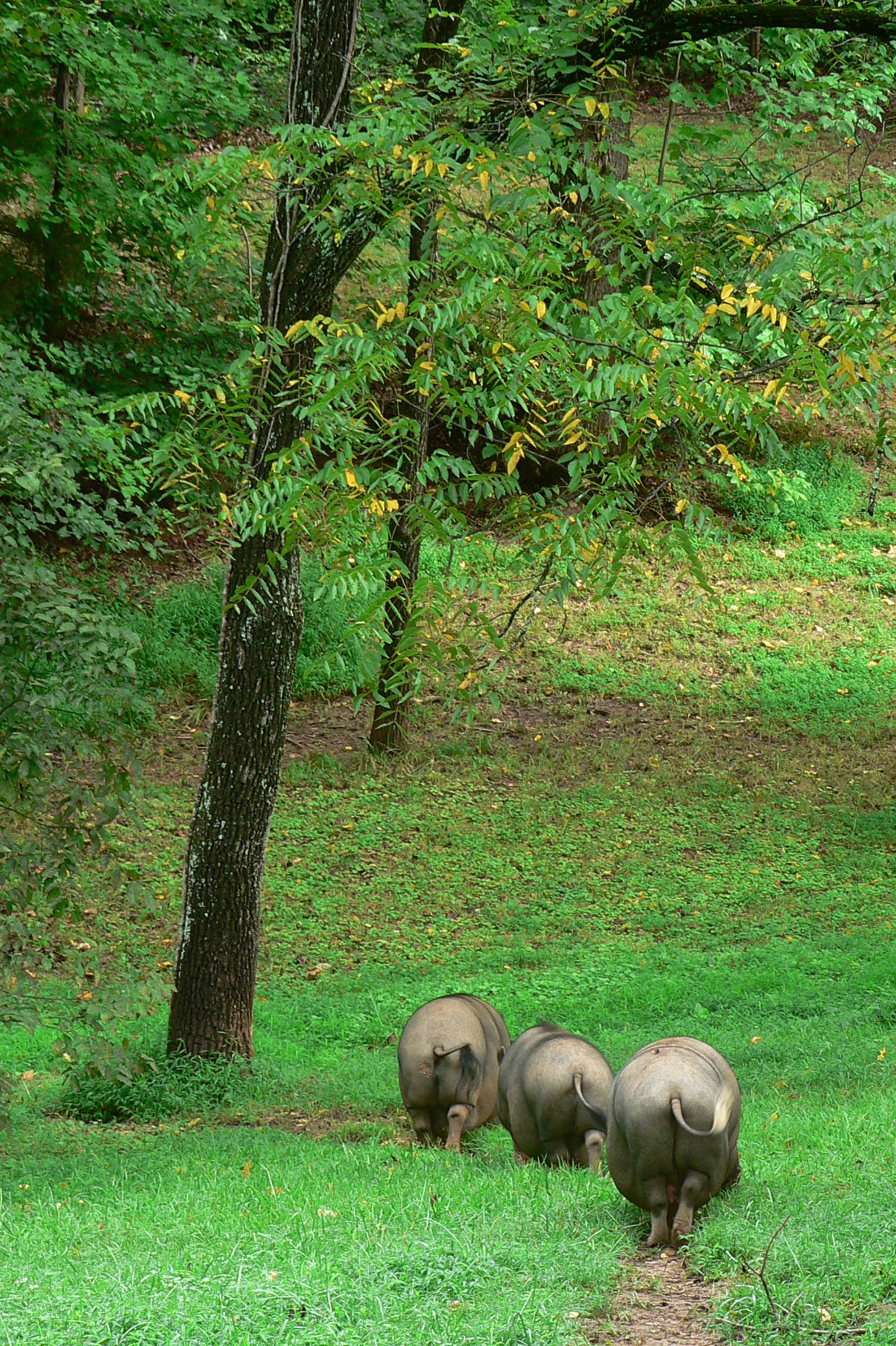
three orderly pigs
Topographic Map of Cabell Rd, Howardsville, VA, USA
Find elevation by address:

Places near Cabell Rd, Howardsville, VA, USA:
Howardsville
Howardsville
Howardsville
Howardsville
Howardsville
Howardsville
Howardsville
Howardsville
Howardsville
Howardsville
Howardsville
Howardsville
Howardsville
Howardsville
Howardsville
Howardsville
Howardsville
Howardsville
Howardsville
Howardsville
Recent Searches:
- Elevation of Corso Fratelli Cairoli, 35, Macerata MC, Italy
- Elevation of Tallevast Rd, Sarasota, FL, USA
- Elevation of 4th St E, Sonoma, CA, USA
- Elevation of Black Hollow Rd, Pennsdale, PA, USA
- Elevation of Oakland Ave, Williamsport, PA, USA
- Elevation of Pedrógão Grande, Portugal
- Elevation of Klee Dr, Martinsburg, WV, USA
- Elevation of Via Roma, Pieranica CR, Italy
- Elevation of Tavkvetili Mountain, Georgia
- Elevation of Hartfords Bluff Cir, Mt Pleasant, SC, USA