Elevation of Jarvis Lane, Jarvis Ln, Hollister, CA, USA
Location: United States > California > San Benito County > Hollister >
Longitude: -121.34997
Latitude: 36.890721
Elevation: 97m / 318feet
Barometric Pressure: 100KPa
Elevation Map:
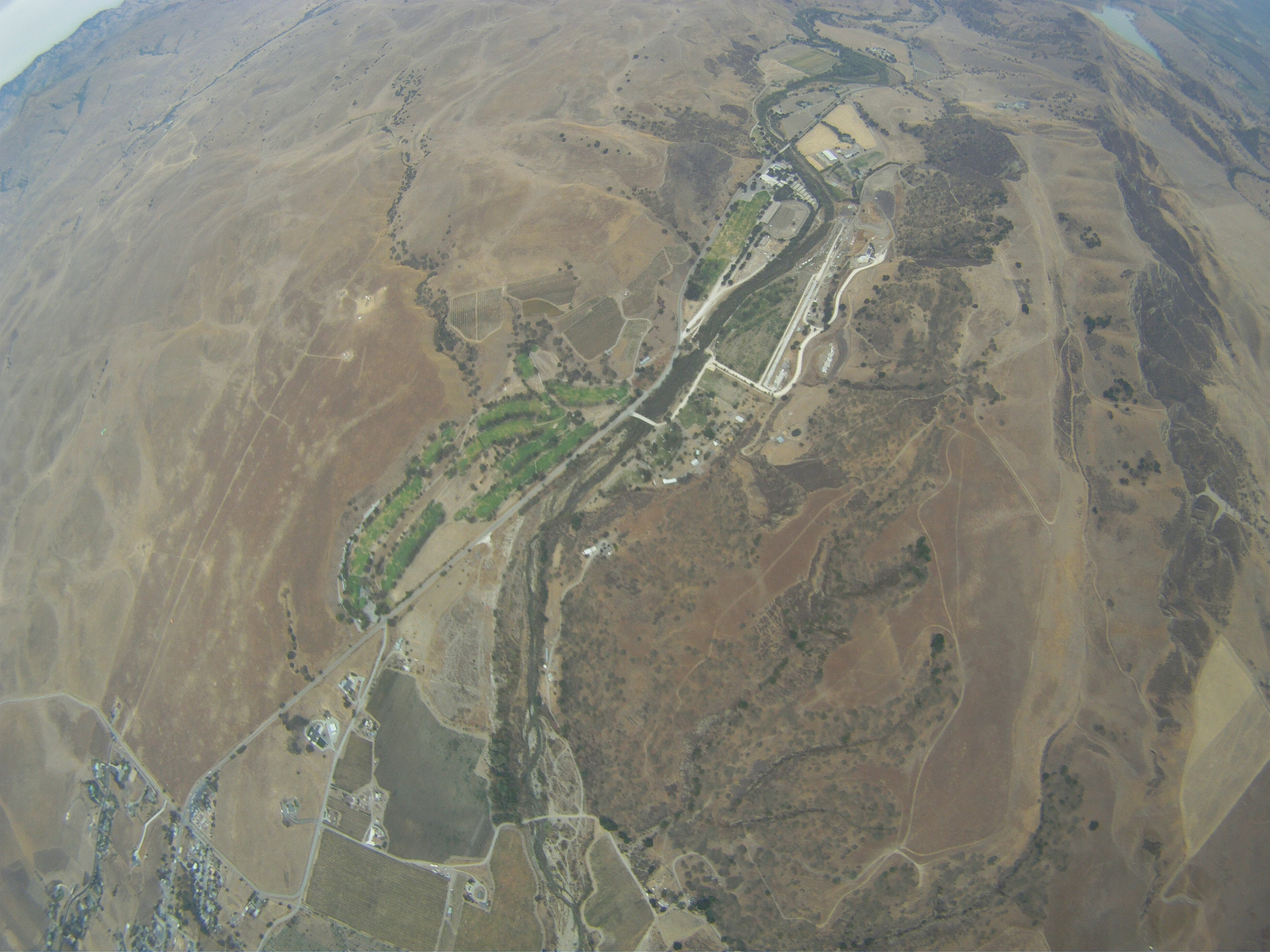
Satellite Map:
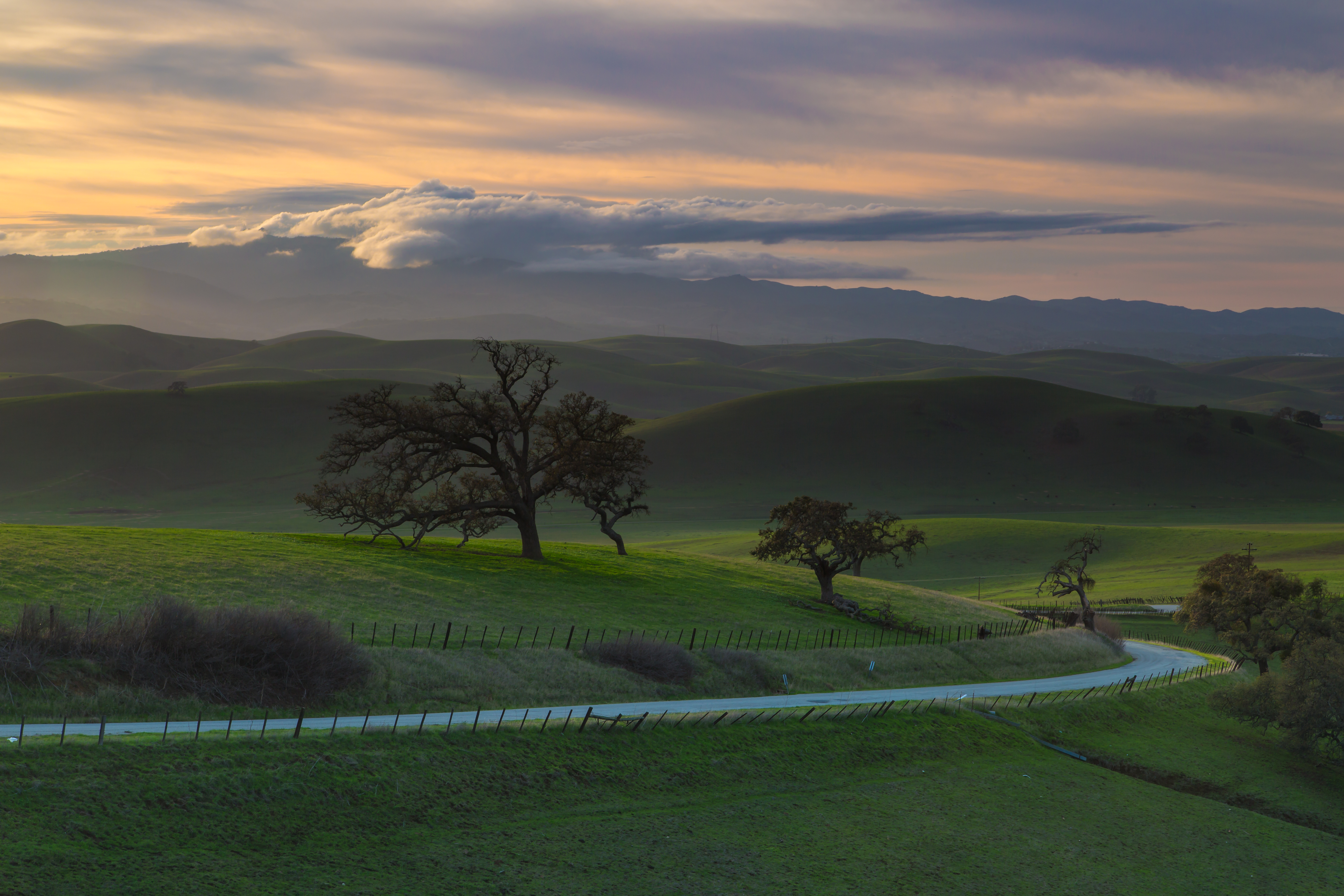
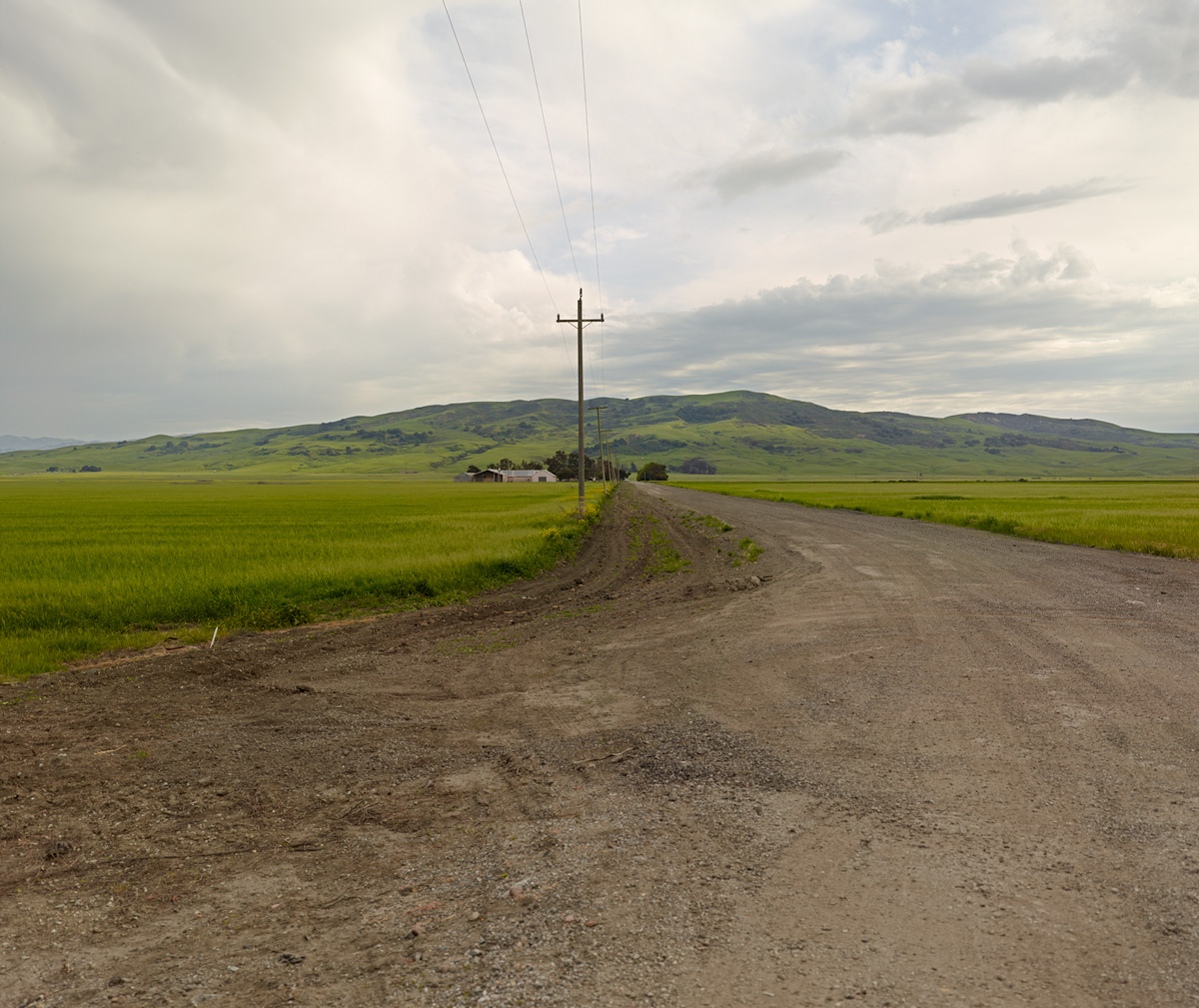
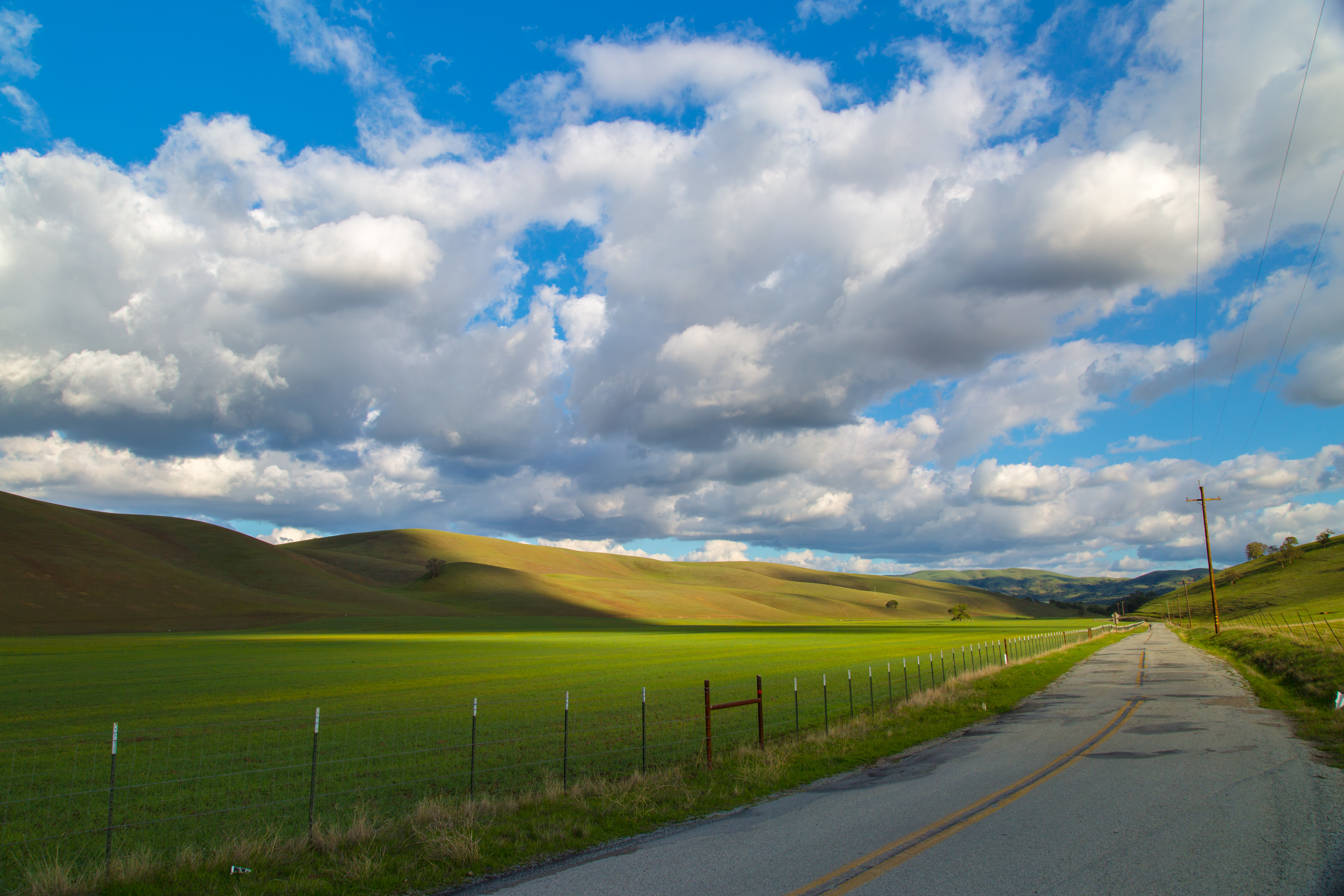
Related Photos:
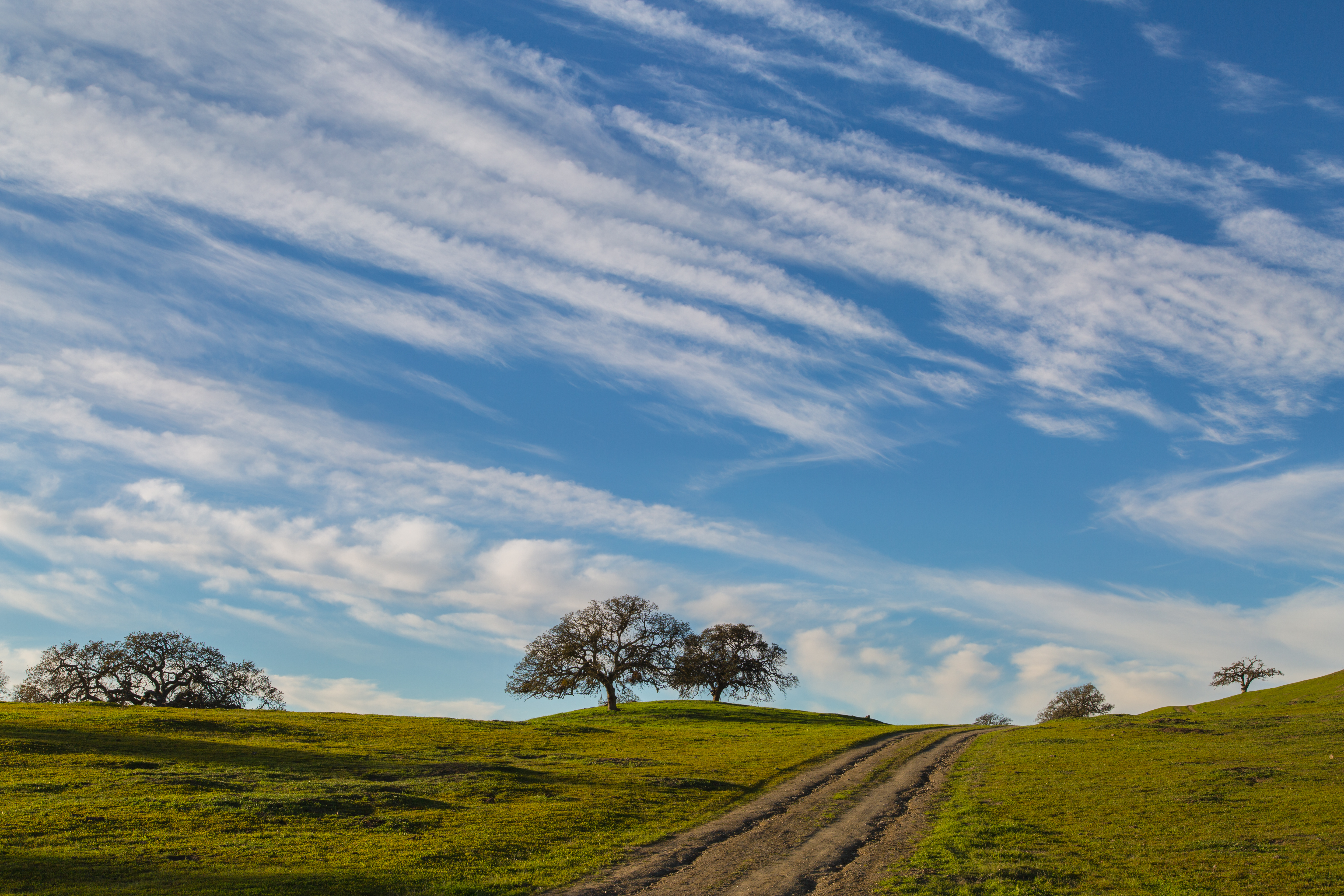
The Road Back from Pinnacle National Park, California, USA

Day 174: Break

Casa de Fruit Truck
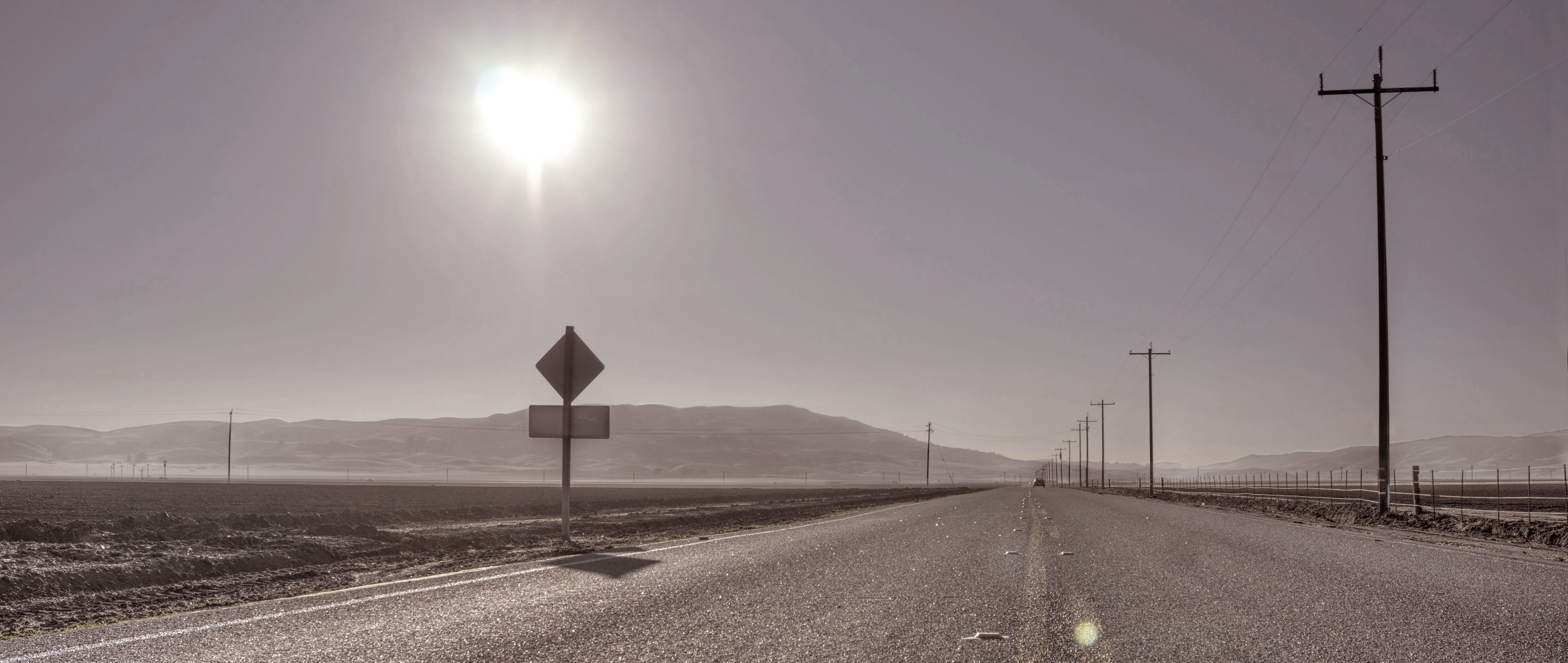
Heading west
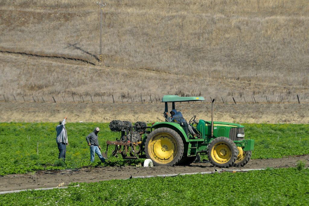
Latino Farmers in Hollister - Pinnacle National Park Road Trip, California, USA
Killer View
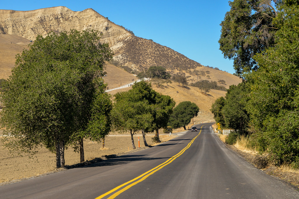
Pinnacle National Park Road Trip, California, USA

Catching Some Rays.
color guard, San Benito Street, Hollister, November 11, 2012
Nice View From Here
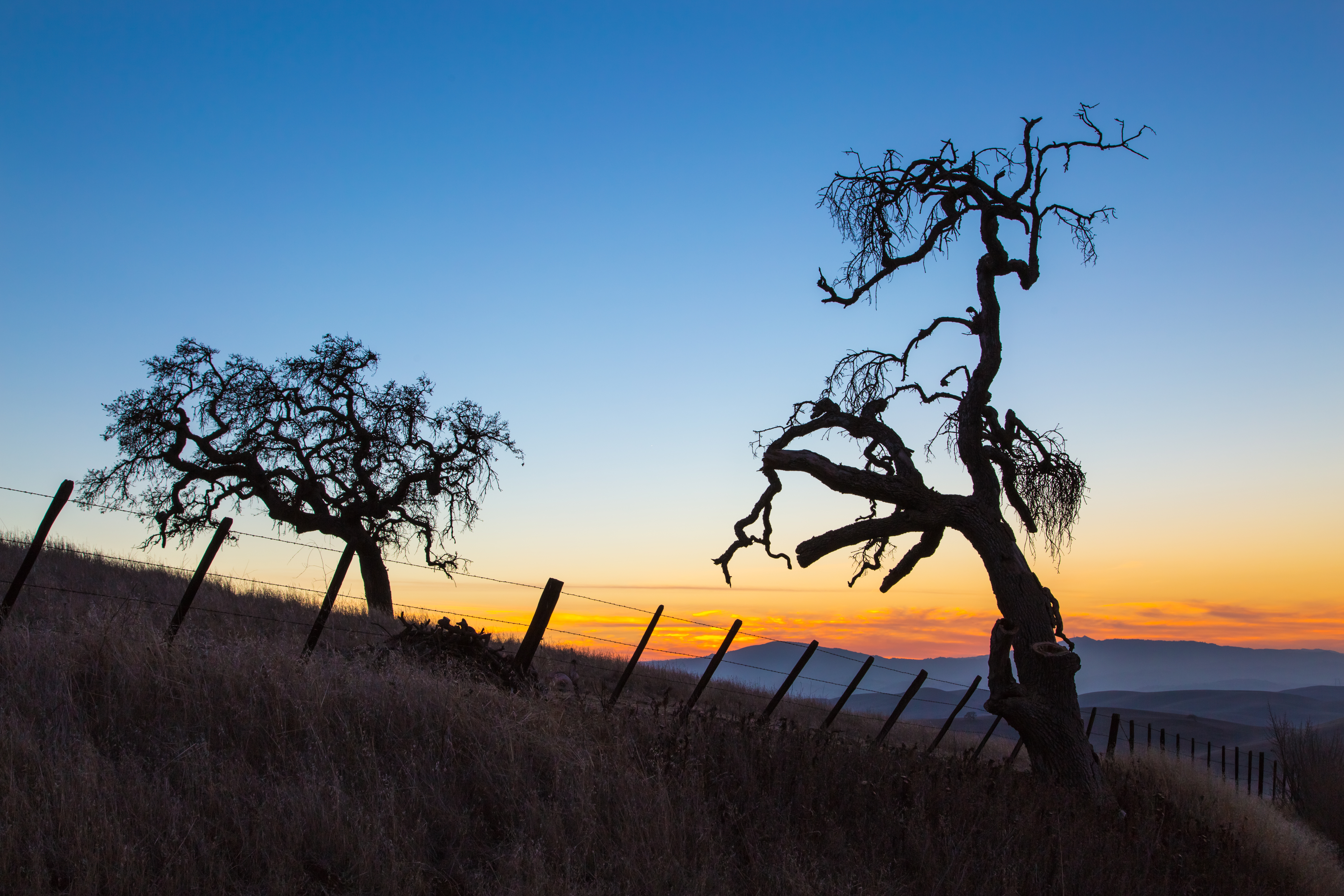
Santa Ana valley sunset

sky view
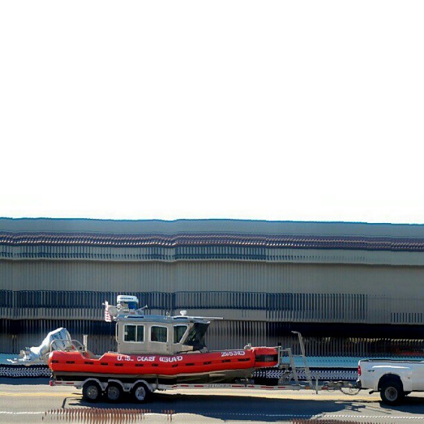
Coast Guard, San Benito Street, Hollister, November 11, 2012

Cal Fire Hollister Air Attack Base
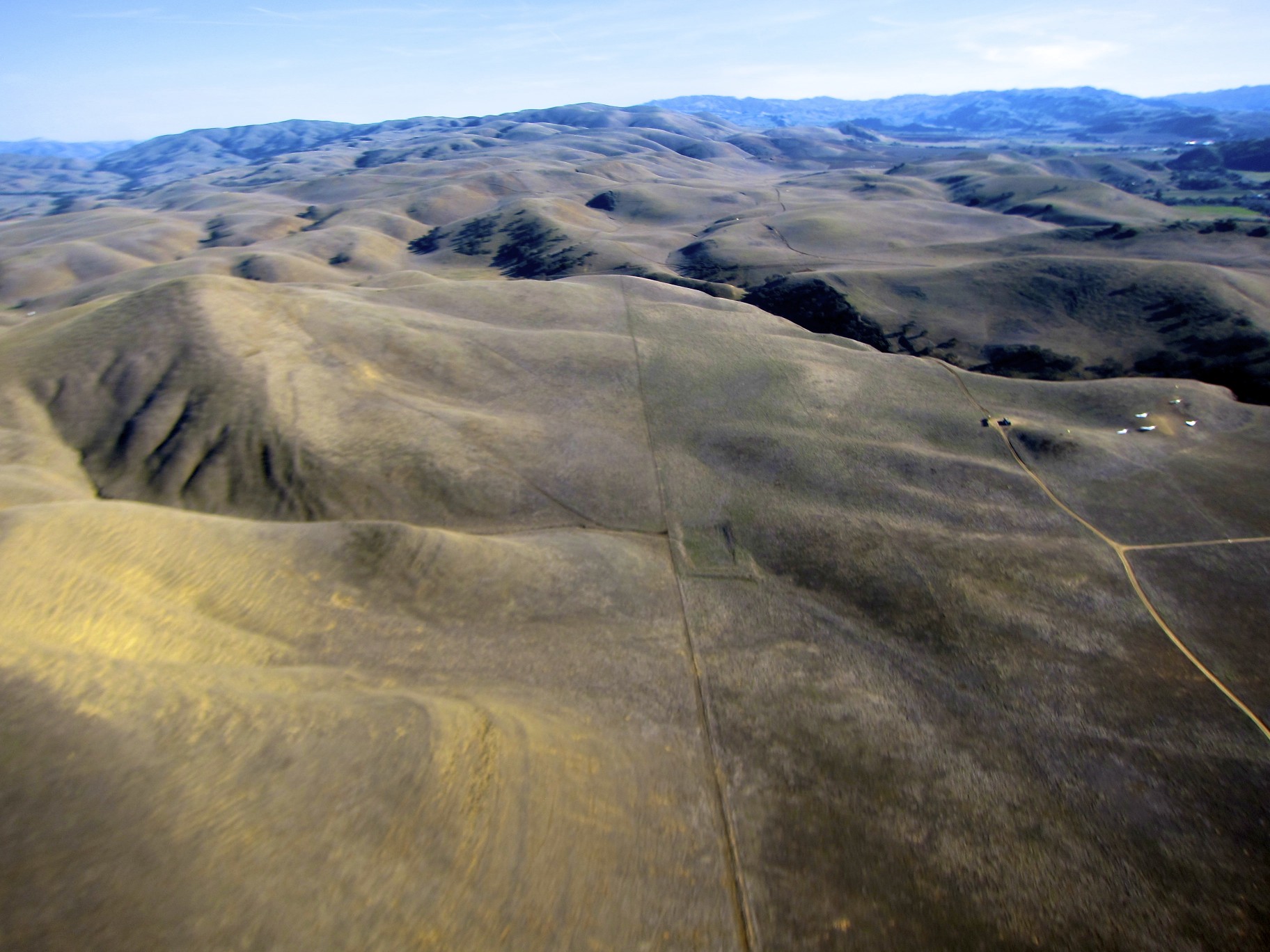
Hills in Tres Pinos, CA
sky view

Hanging with my posse at the Northern California Renaissance Faire, California 2007 - renfaire05x
Hills in Tres Pinos, CA
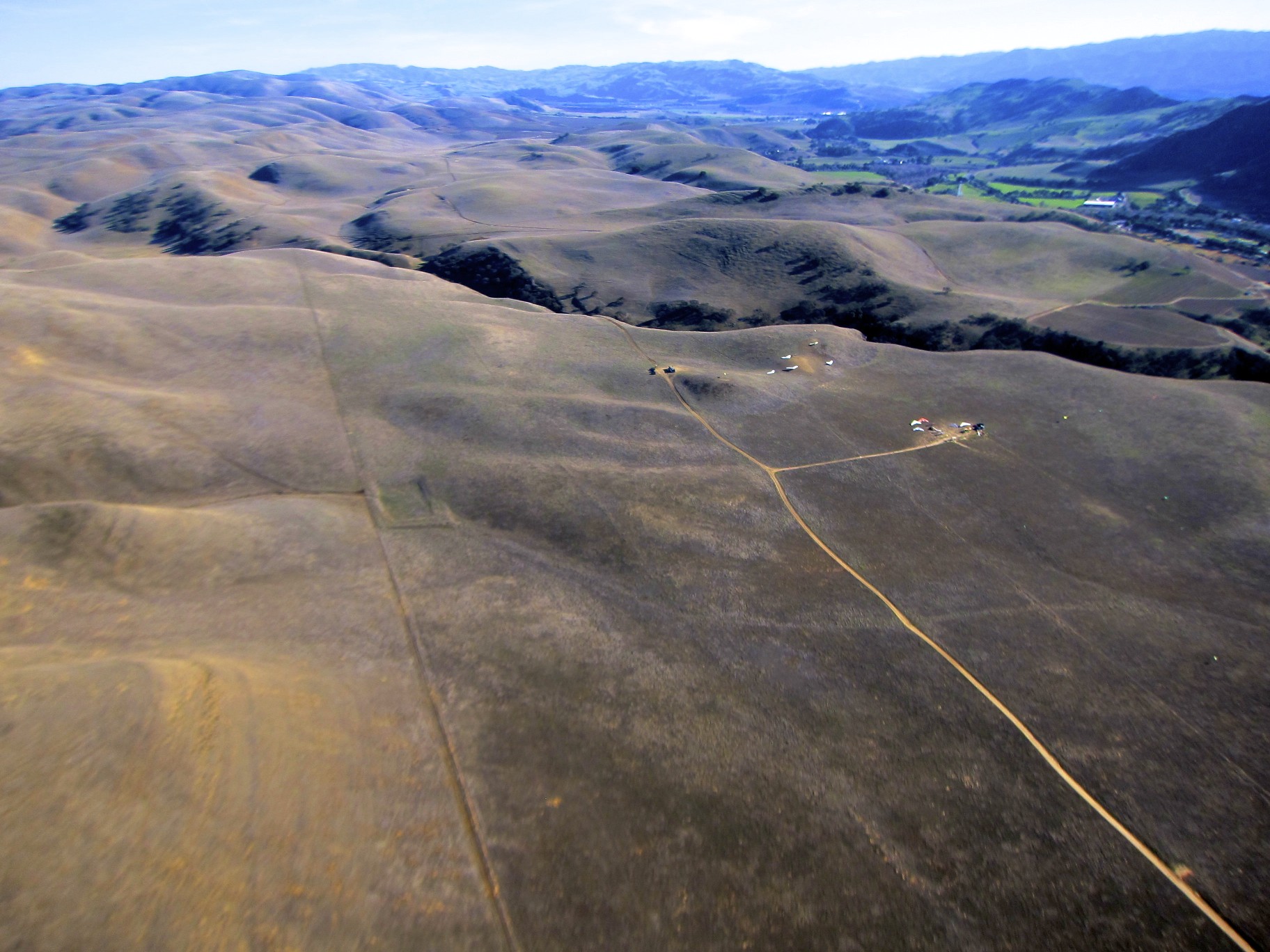
View from top
Tres Pinos, CA
Spring is here !!!
Feeling Lonesome
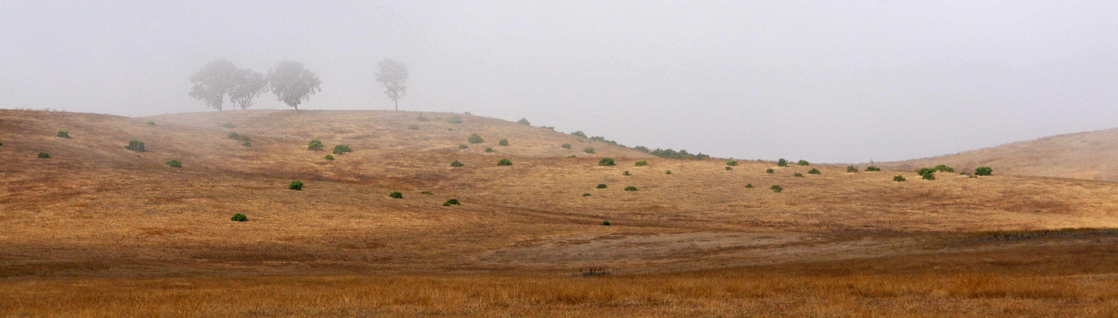
Sentrees in the Mist
What Dreams May Come
Wake up everybody!

Road Trip Kalifornien
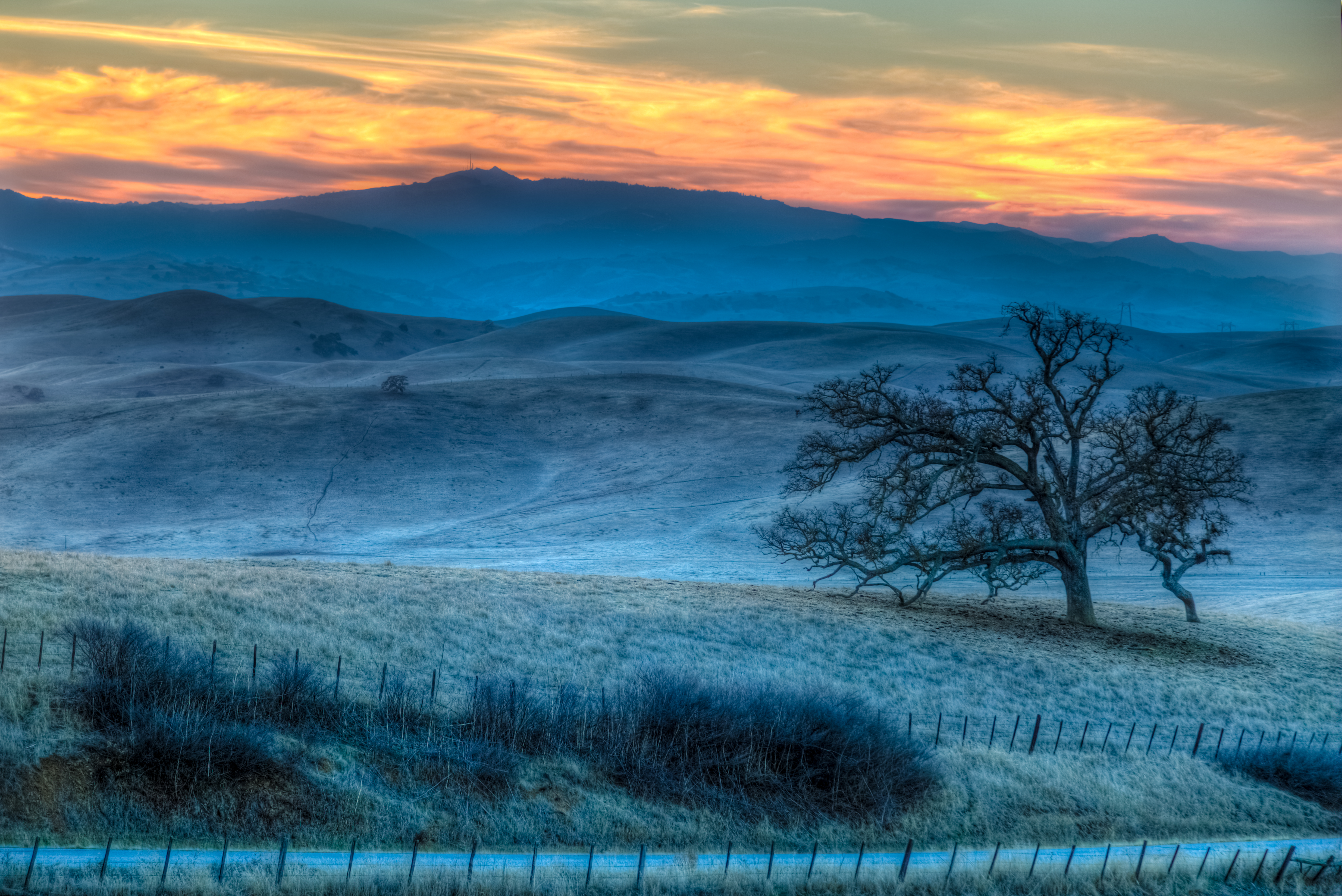
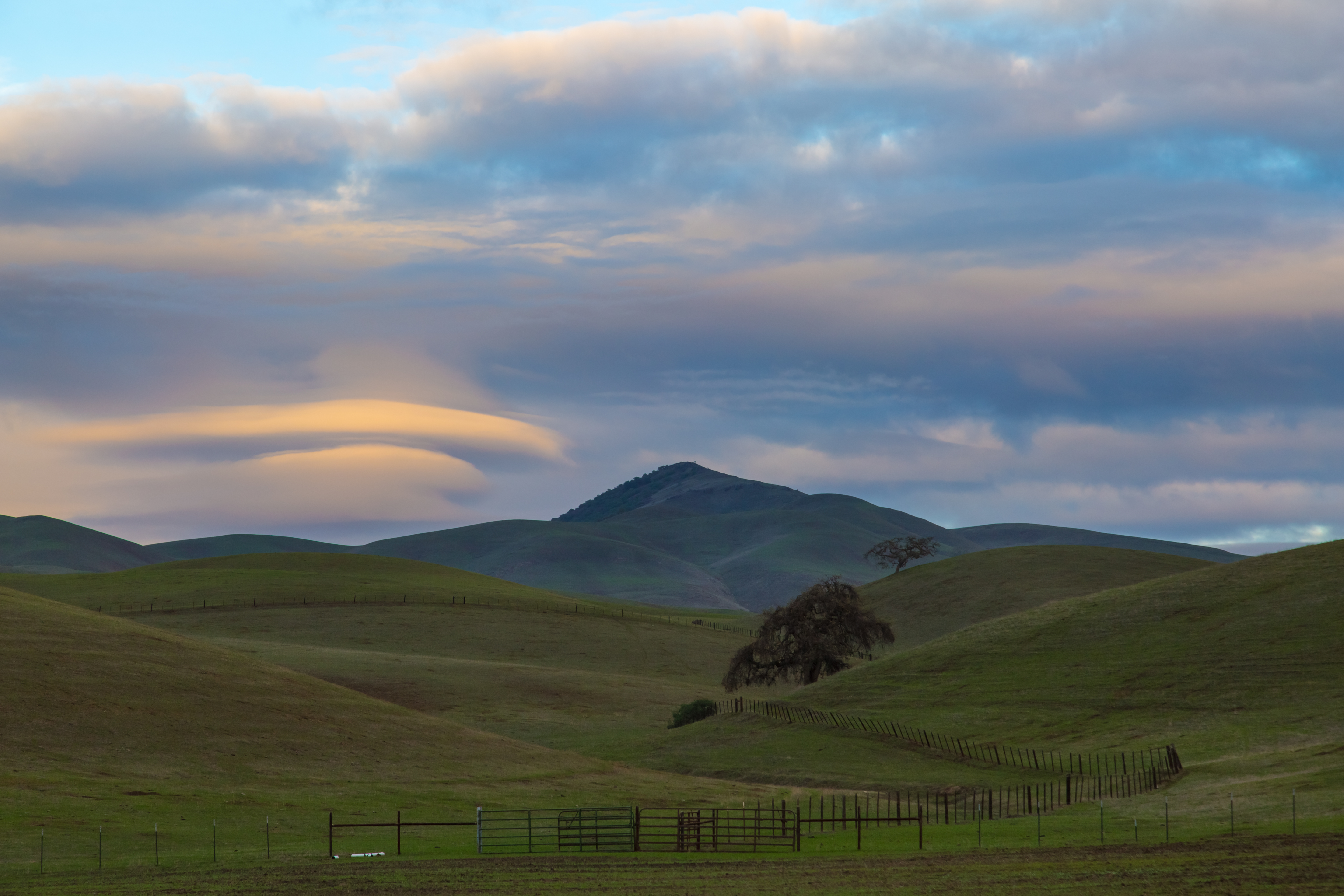
Last Light
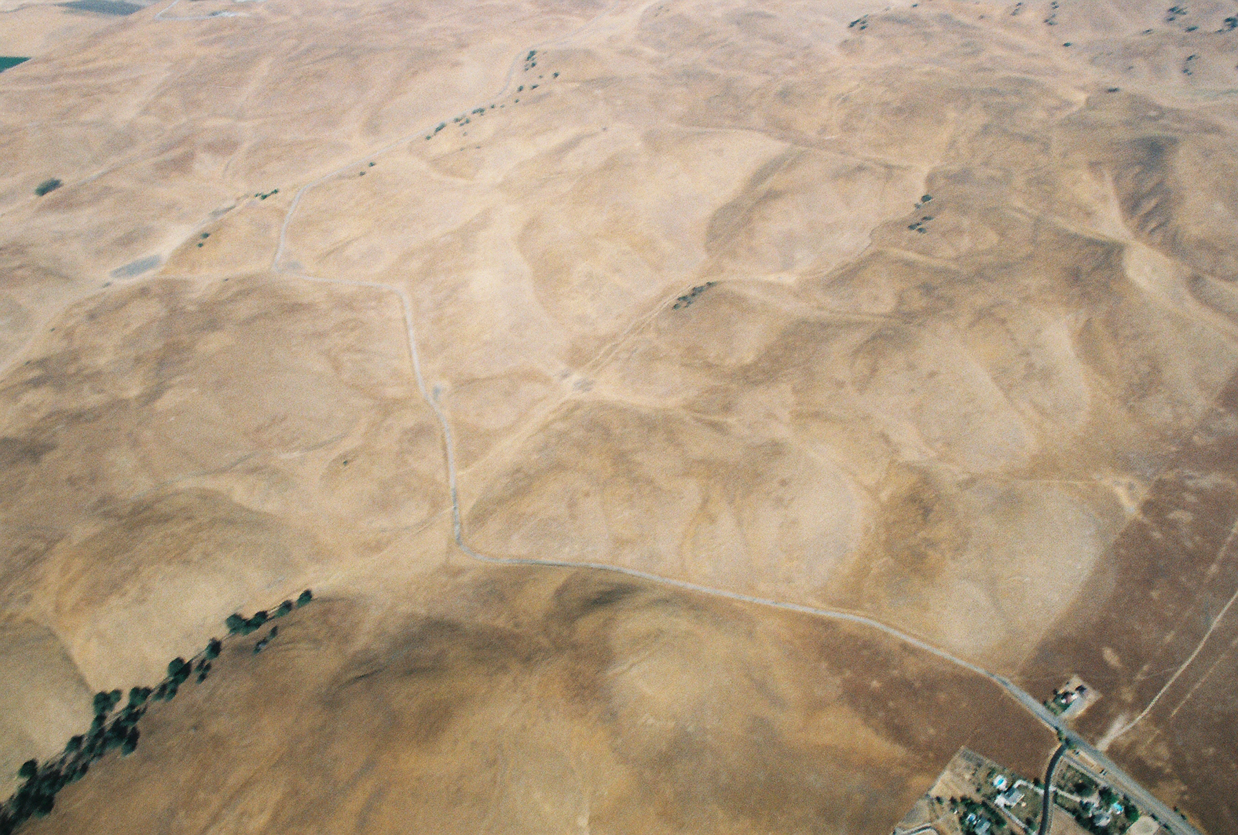
A Touch of San Benito County
There's gold in them thar hills.
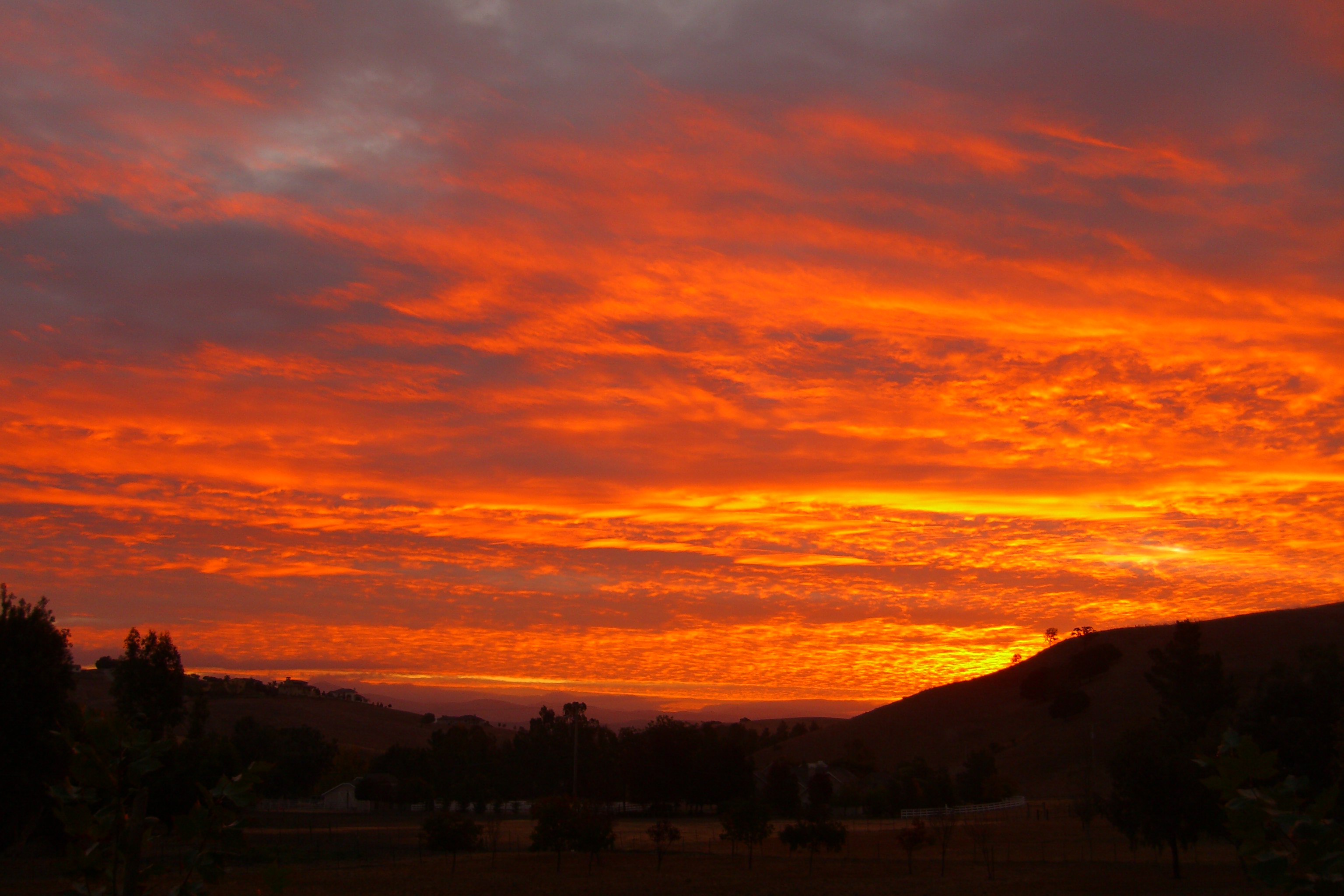
Dying Light
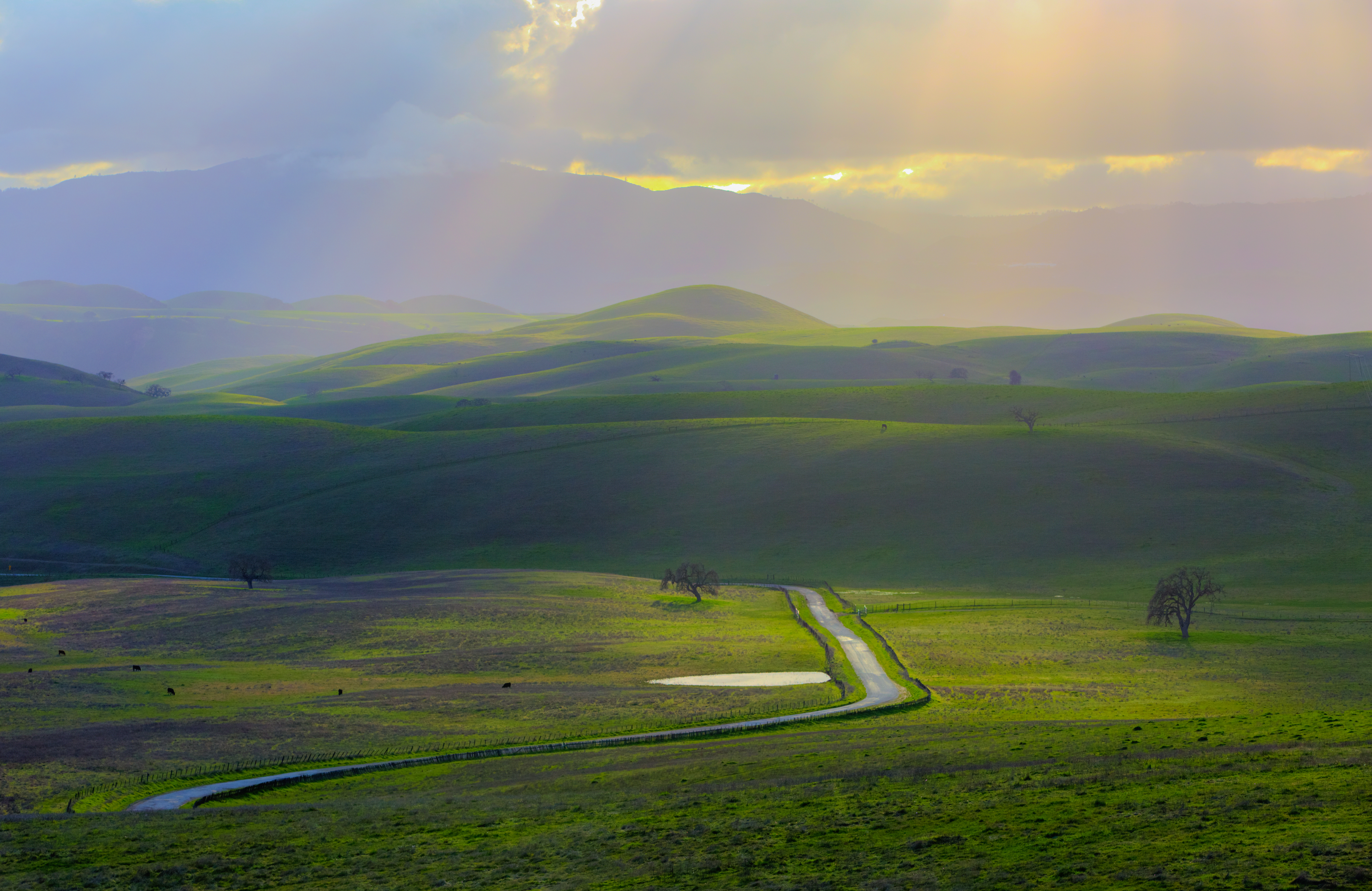
Country Scenery
Heading Over To 2015.
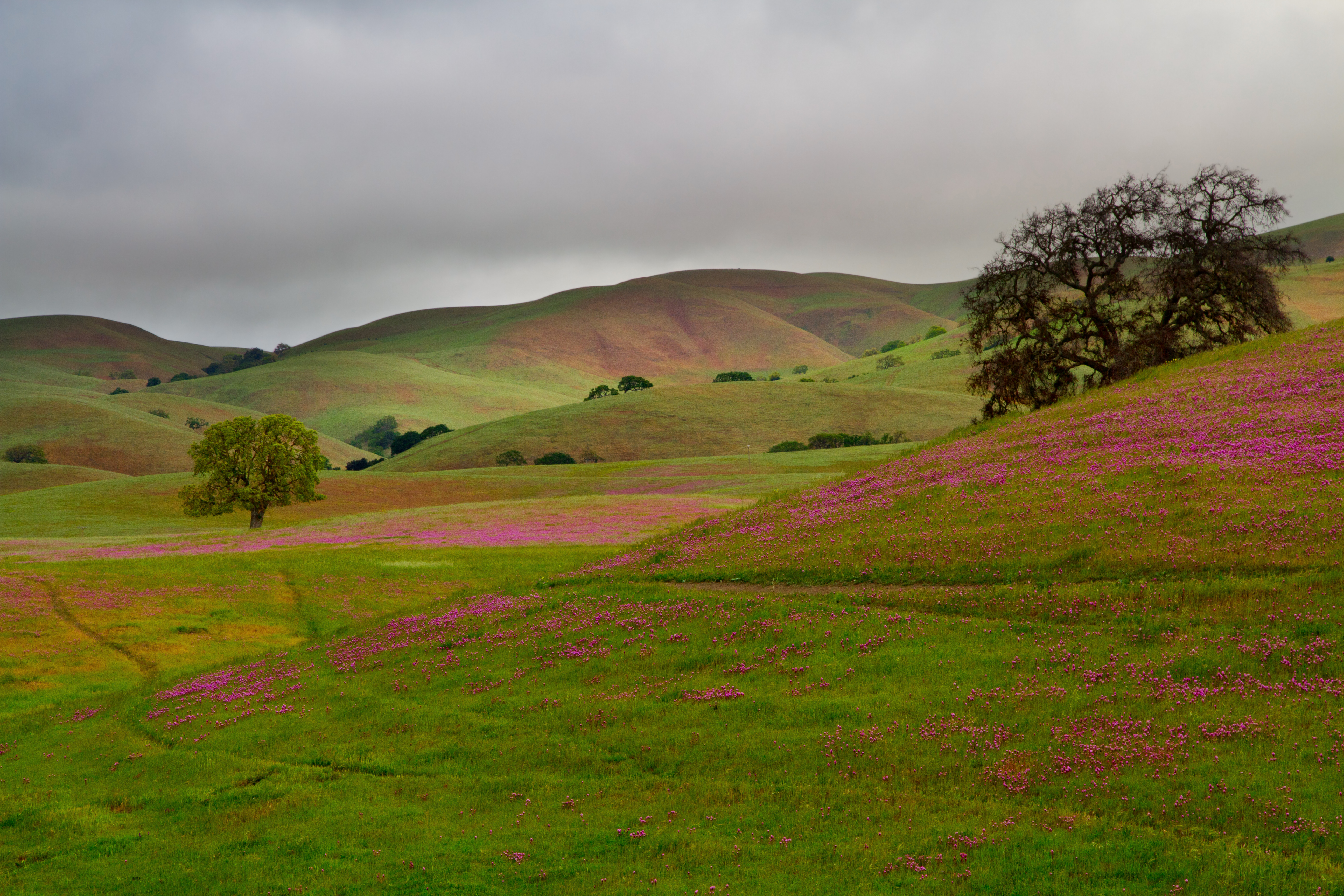
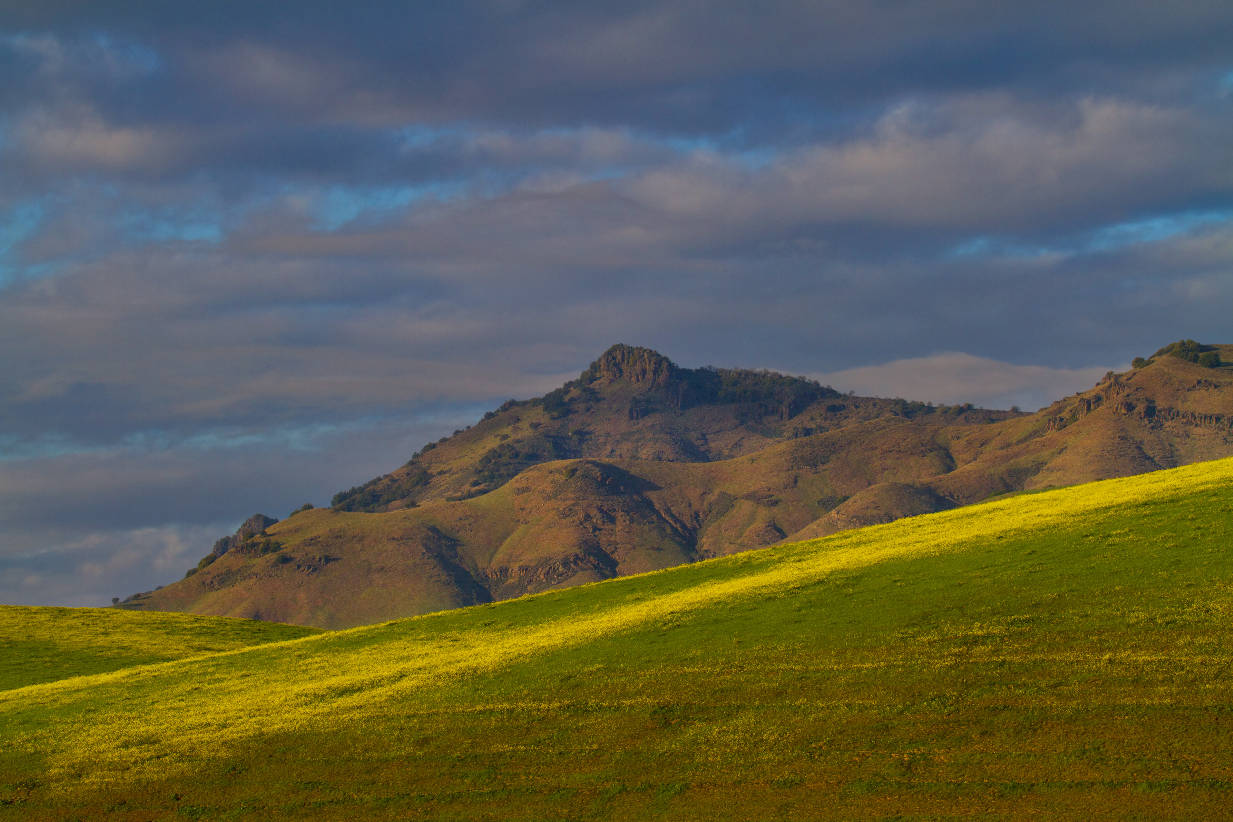
Clover at it's peak
Wait for it.
Just A Hint.
It's Green Again.
0IQ180_7466-9
Good Ol San Benito County
Topographic Map of Jarvis Lane, Jarvis Ln, Hollister, CA, USA
Find elevation by address:

Places near Jarvis Lane, Jarvis Ln, Hollister, CA, USA:
758 Jarvis Ln
1700 Shelton Dr
San Jose-sunnyvale-santa Clara, Ca
Hollister
Homestead Avenue
Fairview Rd, Hollister, CA, USA
Ridgemark Dr, Hollister, CA, USA
Pacheco Pass Hwy, Gilroy, CA, USA
74 Saddle Ct
Casa De Fruta
Tres Pinos
12280 Pacheco Pass Hwy
Quien Sabe Rd, Tres Pinos, CA, USA
8100 Frazier Lake Rd
3478 San Juan Canyon Rd
Paicines
1700 Murphy Rd
410 The Alameda
San Juan Bautista
San Juan Valley
Recent Searches:
- Elevation of Beall Road, Beall Rd, Florida, USA
- Elevation of Leguwa, Nepal
- Elevation of County Rd, Enterprise, AL, USA
- Elevation of Kolchuginsky District, Vladimir Oblast, Russia
- Elevation of Shustino, Vladimir Oblast, Russia
- Elevation of Lampiasi St, Sarasota, FL, USA
- Elevation of Elwyn Dr, Roanoke Rapids, NC, USA
- Elevation of Congressional Dr, Stevensville, MD, USA
- Elevation of Bellview Rd, McLean, VA, USA
- Elevation of Stage Island Rd, Chatham, MA, USA