Elevation of Murphy Rd, Paicines, CA, USA
Location: United States > California > San Benito County > Paicines >
Longitude: -121.25475
Latitude: 36.7380774
Elevation: 283m / 928feet
Barometric Pressure: 98KPa
Elevation Map:
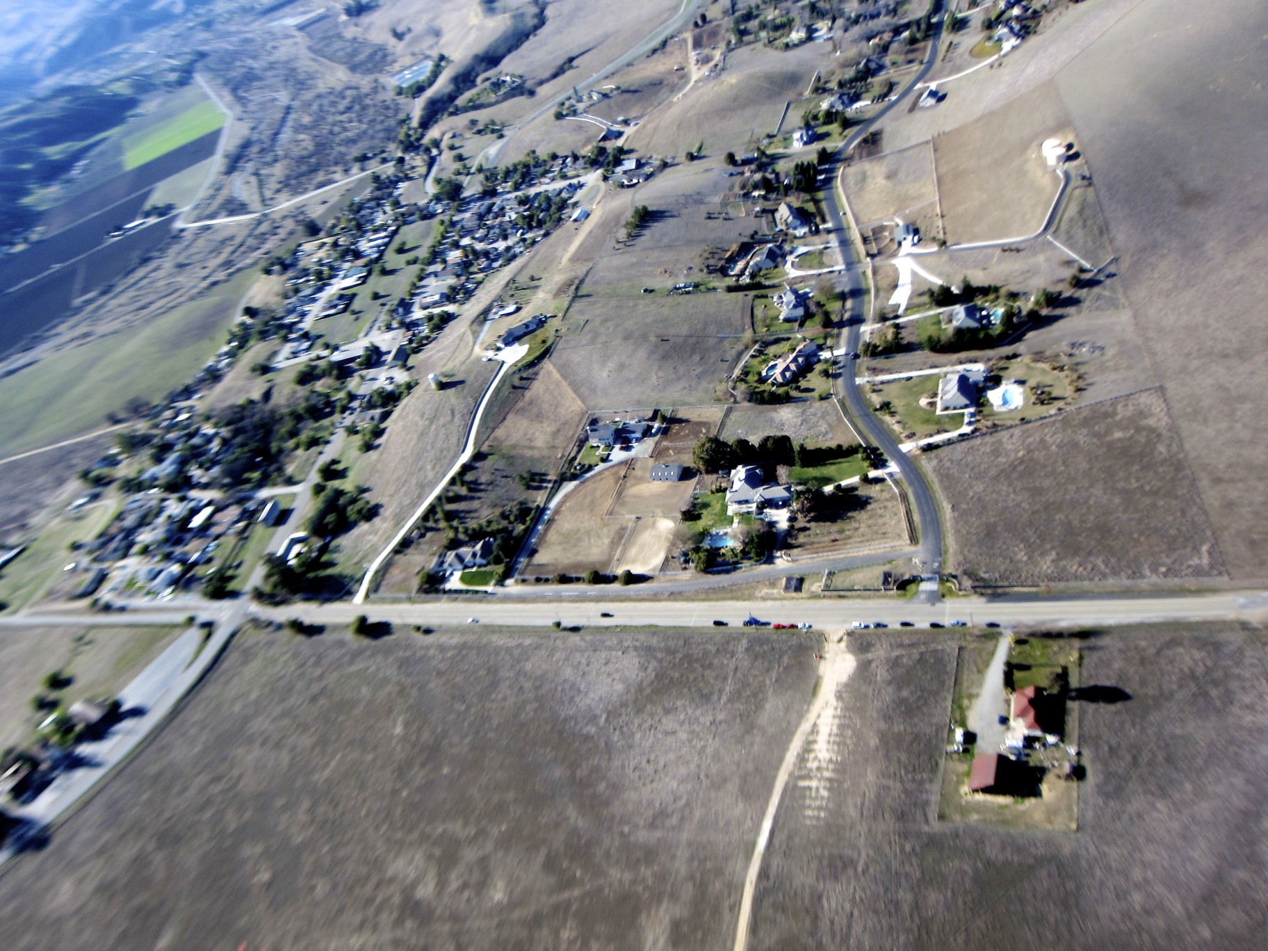
Satellite Map:
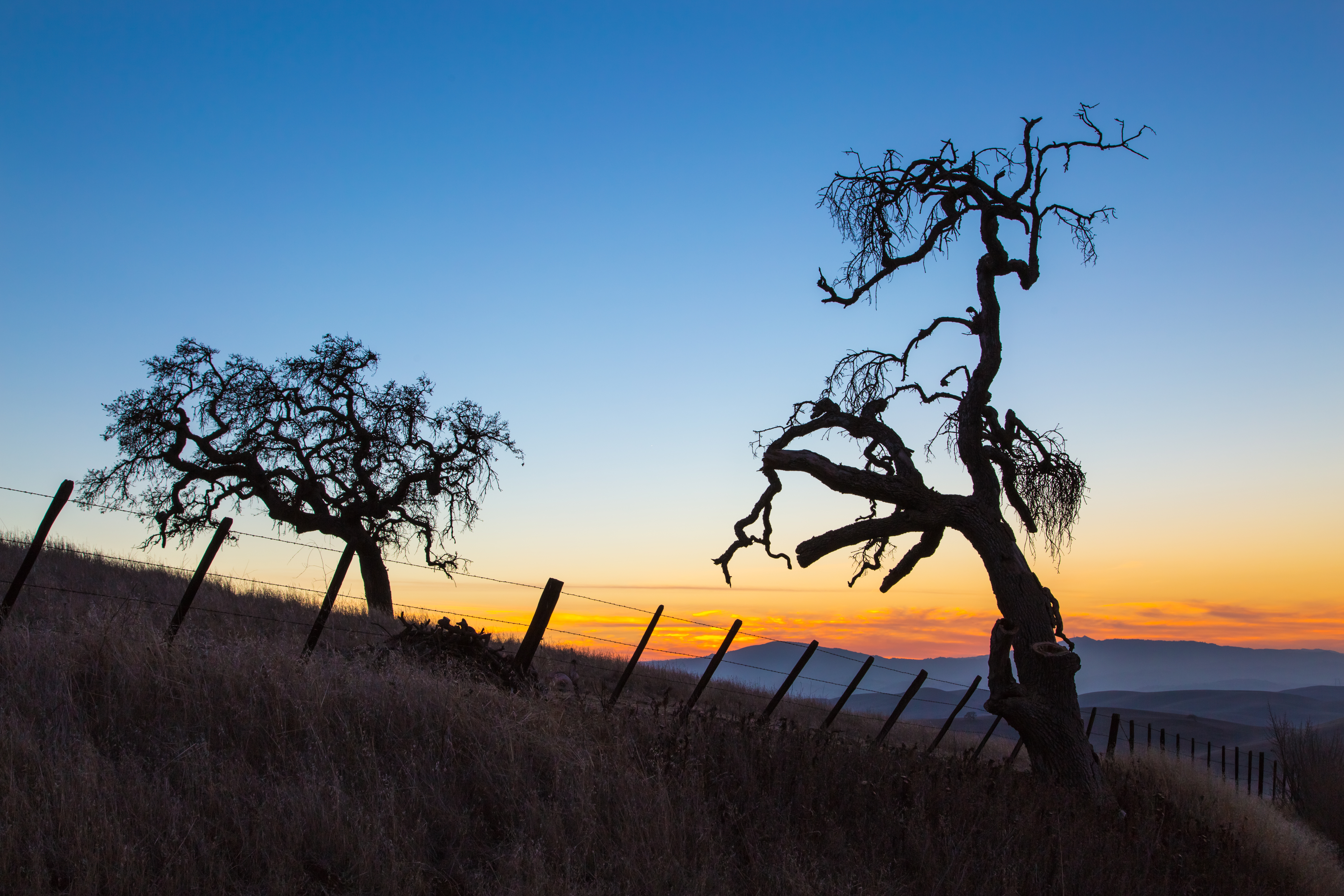
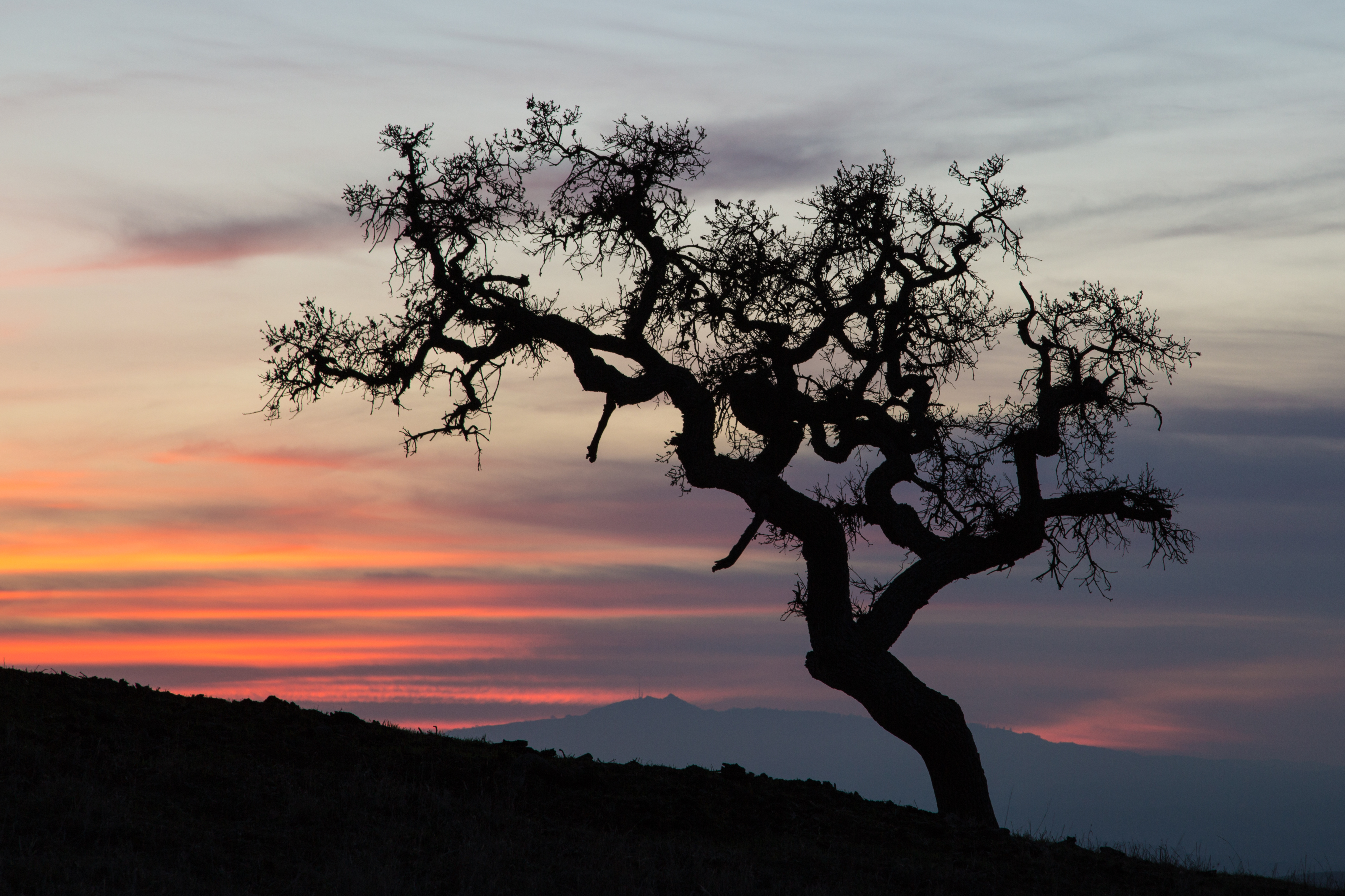
Related Photos:

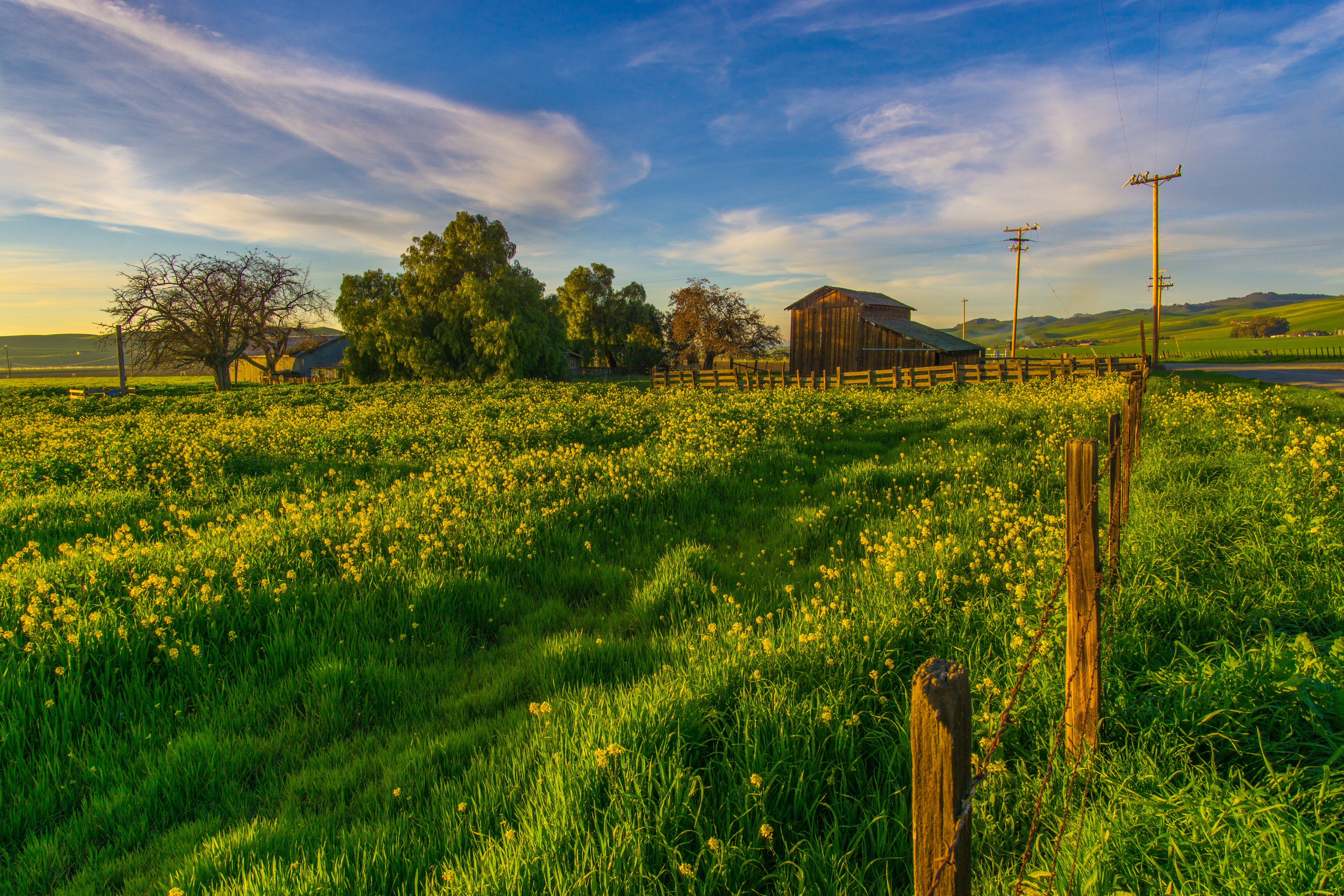
Catching Some Rays.
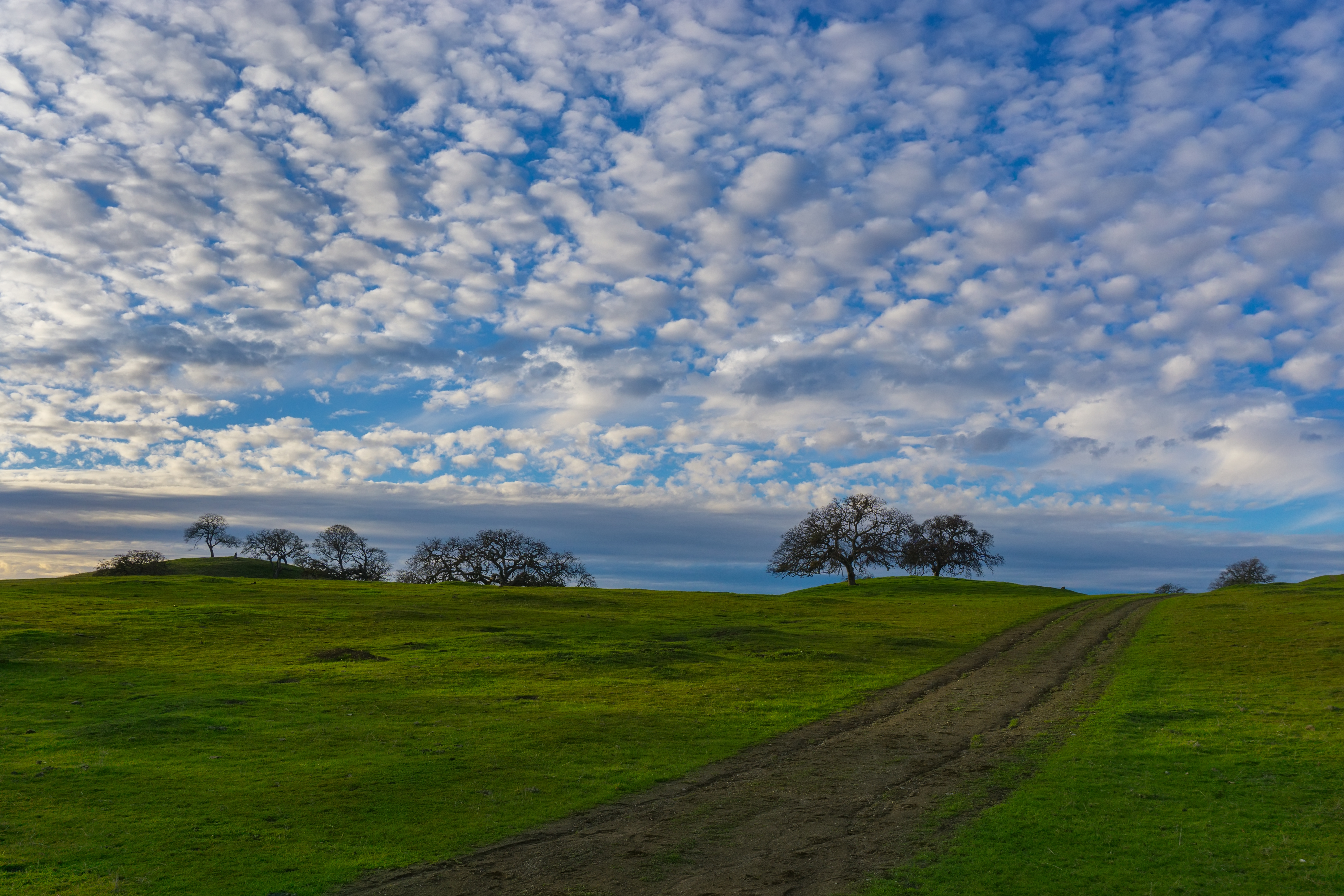
Killer View
Nice View From Here
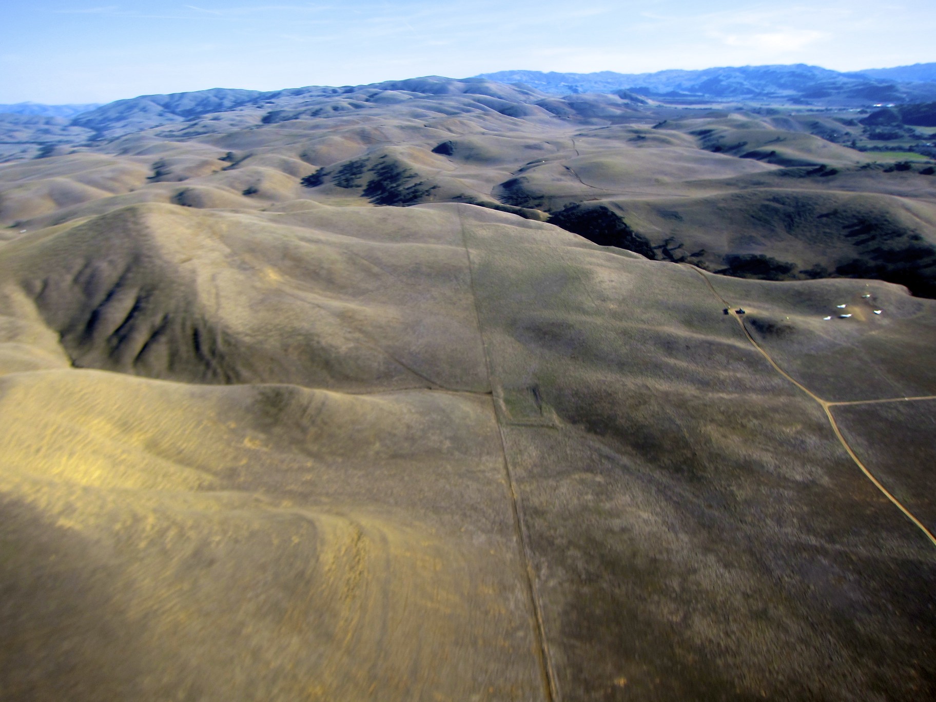
Hills in Tres Pinos, CA
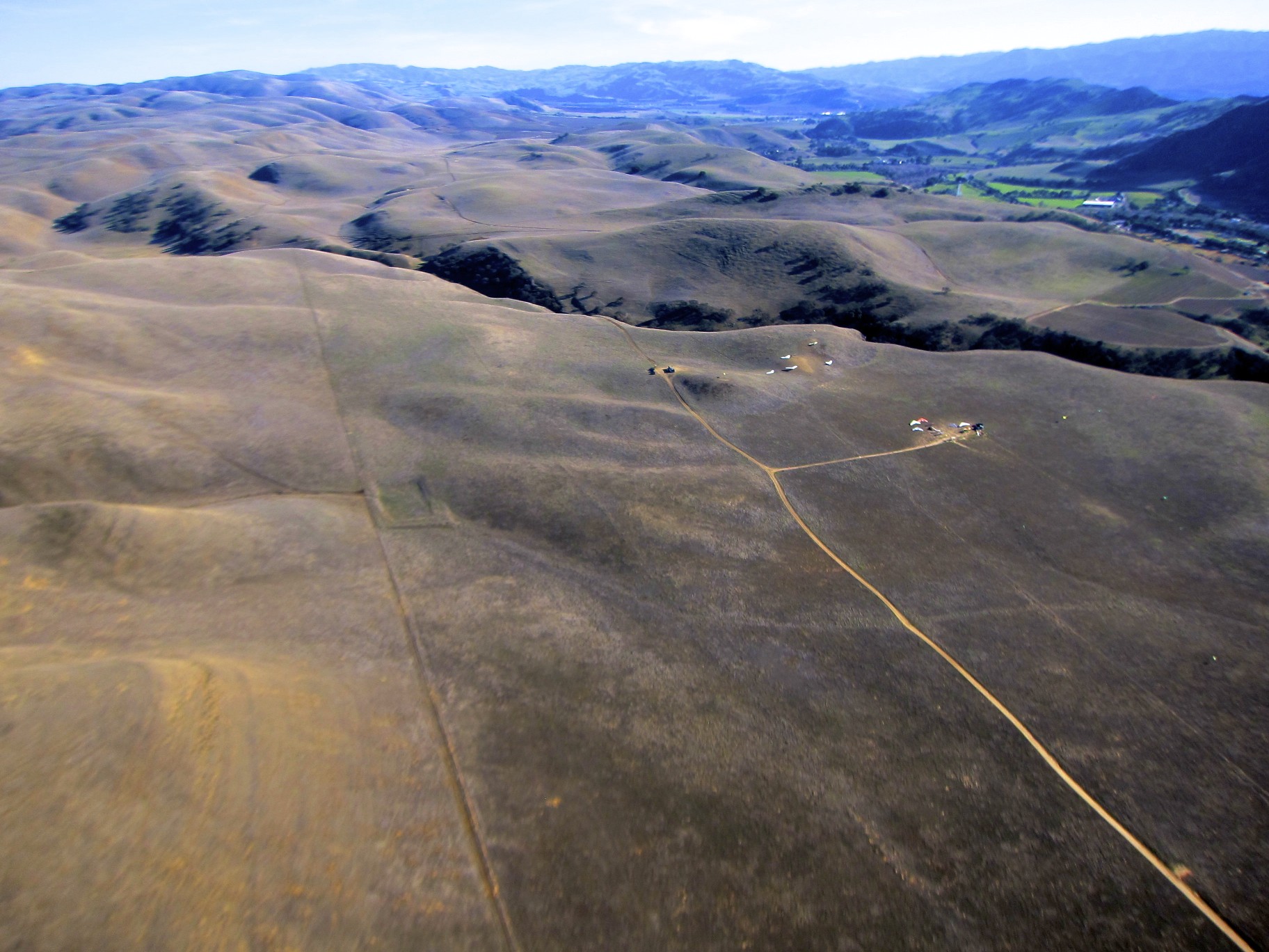
Hills in Tres Pinos, CA
Tres Pinos, CA
View from Hector Heights
View from Hector Heights
View from Bridgeport marina
Just A Hint.
It's Green Again.
Panoche Oak (explored)
Good Ol San Benito County

Oaks Trees of the Panoche Valley
Wait for it.
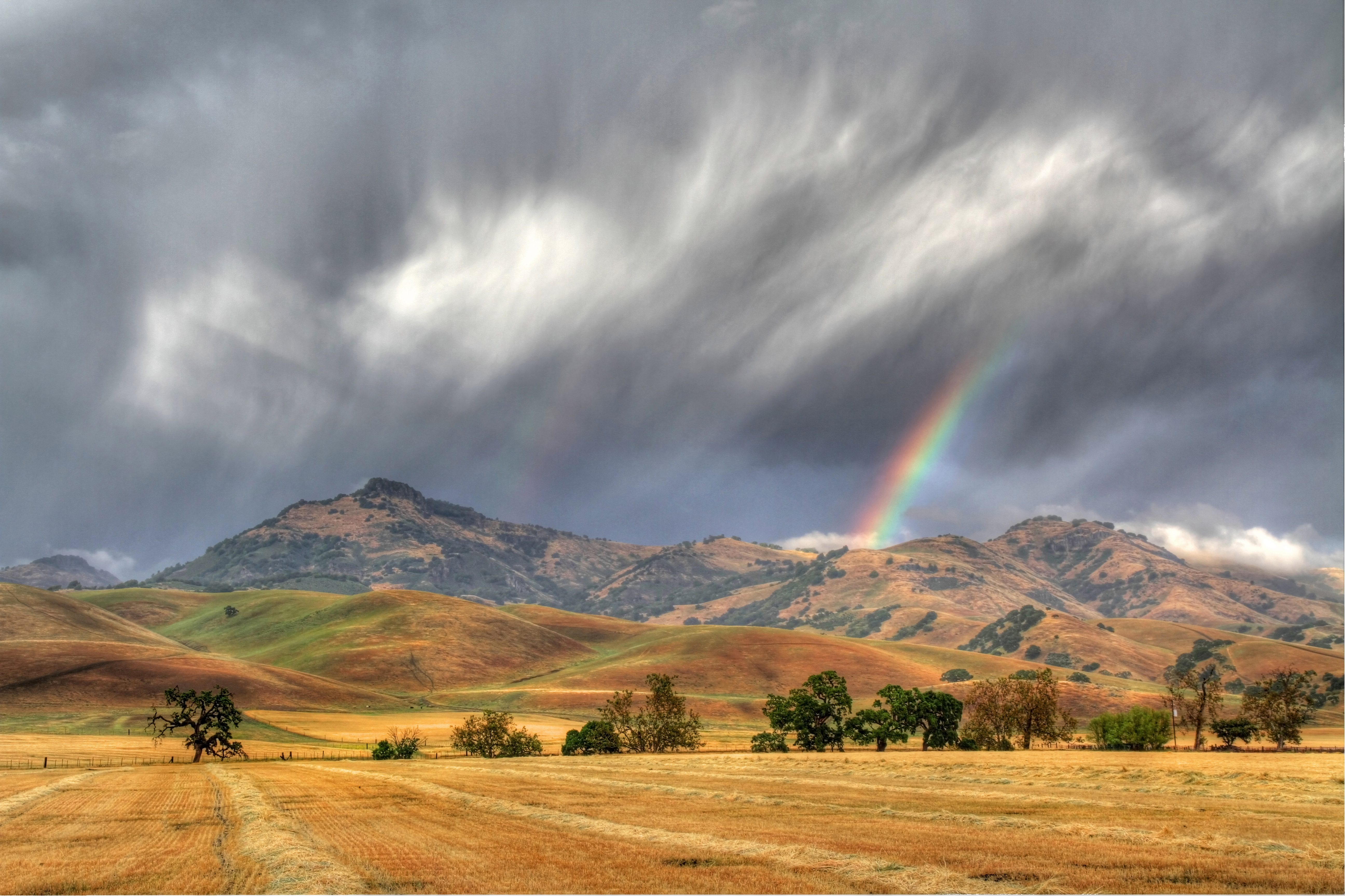
Late Storm
How Green is my Valley

An End To A Perfect Day
On Fire
Fading Light
Sky full of cotton

Panoche Pink

Road To Paso Robles - CA 25
Wicked Skies
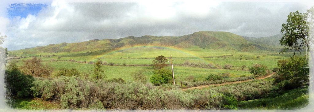
Low flying rainbow!
.
Hills in Hollister
Road To Paso Robles - CA 25
Last Light
Topographic Map of Murphy Rd, Paicines, CA, USA
Find elevation by address:

Places near Murphy Rd, Paicines, CA, USA:
Paicines
16225 Cienega Rd
Tres Pinos
74 Saddle Ct
Quien Sabe Rd, Tres Pinos, CA, USA
Ridgemark Dr, Hollister, CA, USA
14665 Panoche Rd
14665 Panoche Rd
14665 Panoche Rd
Jarvis Lane
758 Jarvis Ln
Hollister
Homestead Avenue
1700 Shelton Dr
San Jose-sunnyvale-santa Clara, Ca
3478 San Juan Canyon Rd
Fremont Peak
Fairview Rd, Hollister, CA, USA
Pacheco Pass Hwy, Gilroy, CA, USA
Casa De Fruta
Recent Searches:
- Elevation of Leguwa, Nepal
- Elevation of County Rd, Enterprise, AL, USA
- Elevation of Kolchuginsky District, Vladimir Oblast, Russia
- Elevation of Shustino, Vladimir Oblast, Russia
- Elevation of Lampiasi St, Sarasota, FL, USA
- Elevation of Elwyn Dr, Roanoke Rapids, NC, USA
- Elevation of Congressional Dr, Stevensville, MD, USA
- Elevation of Bellview Rd, McLean, VA, USA
- Elevation of Stage Island Rd, Chatham, MA, USA
- Elevation of Shibuya Scramble Crossing, 21 Udagawacho, Shibuya City, Tokyo -, Japan