Elevation of Pacheco Pass Hwy, Hollister, CA, USA
Location: United States > California > Santa Clara County >
Longitude: -121.34798
Latitude: 37.012834
Elevation: 92m / 302feet
Barometric Pressure: 100KPa
Elevation Map:
Satellite Map:
Related Photos:
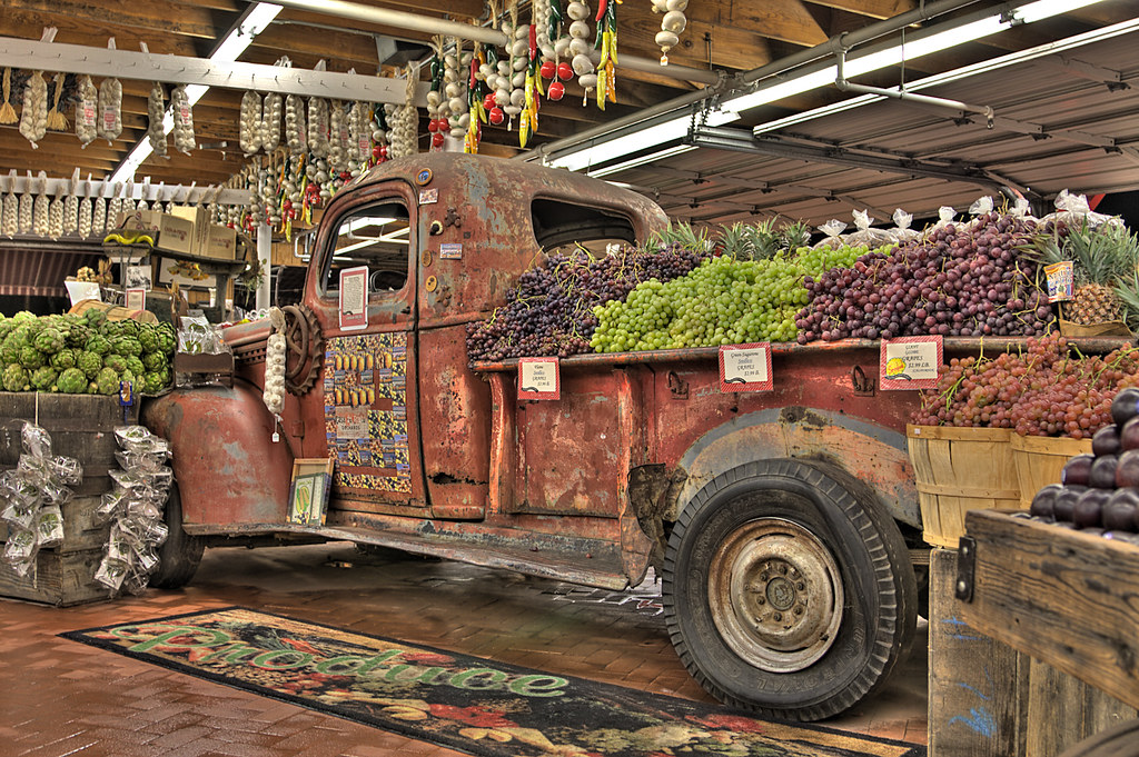
Casa de Fruit Truck
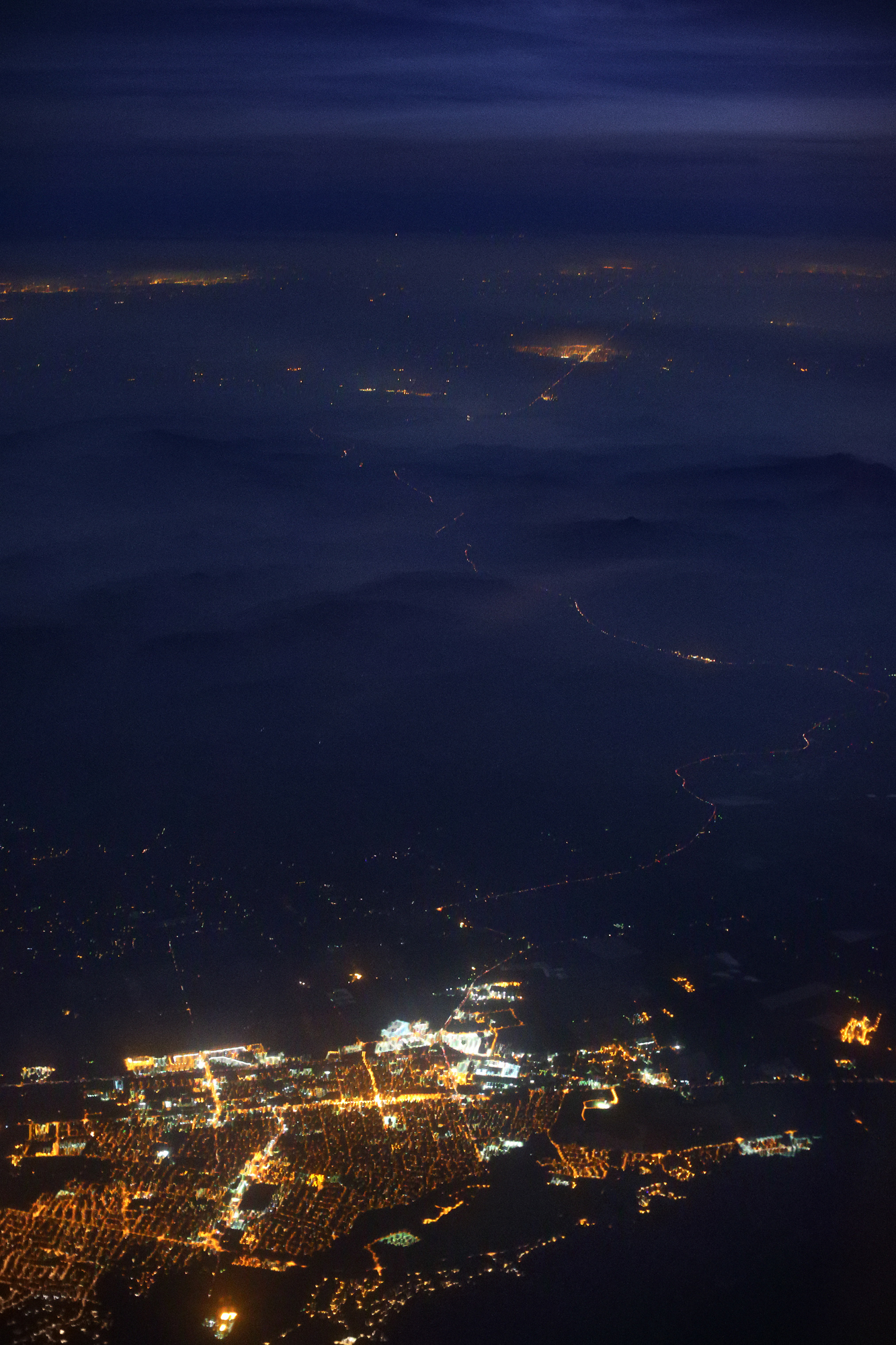
Gilroy, Highway 152, Dublin and Livermore at Night
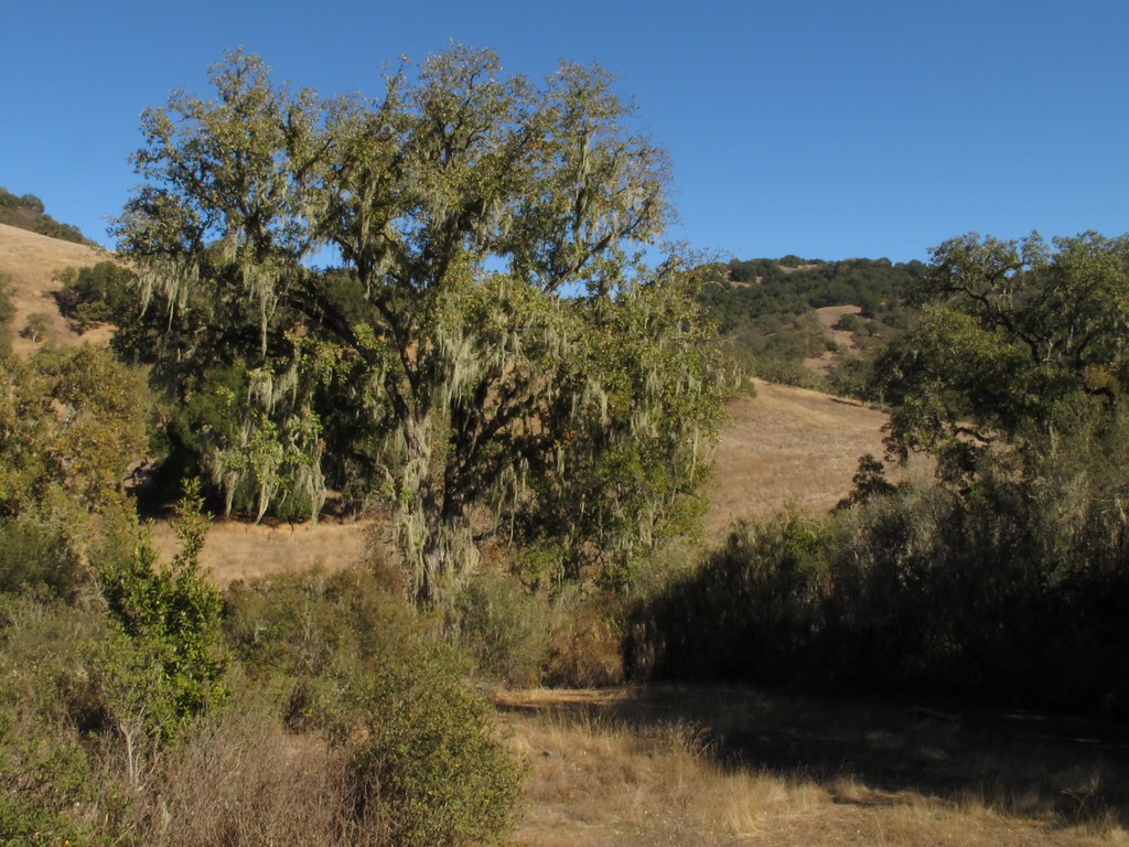
Pinnacle National Park Road Trip, California, USA
10:35am at Spy World Headquarters
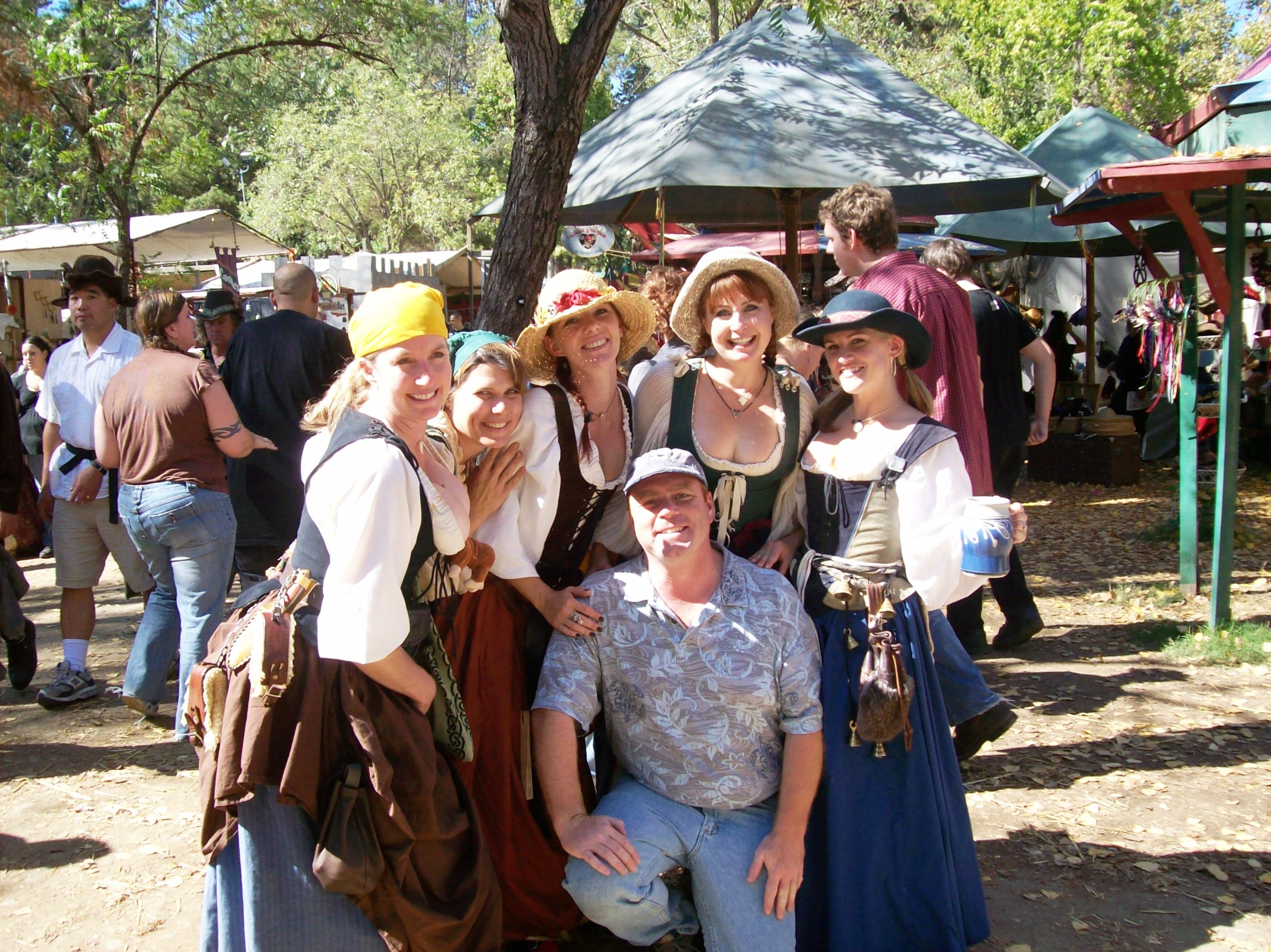
Hanging with my posse at the Northern California Renaissance Faire, California 2007 - renfaire05x
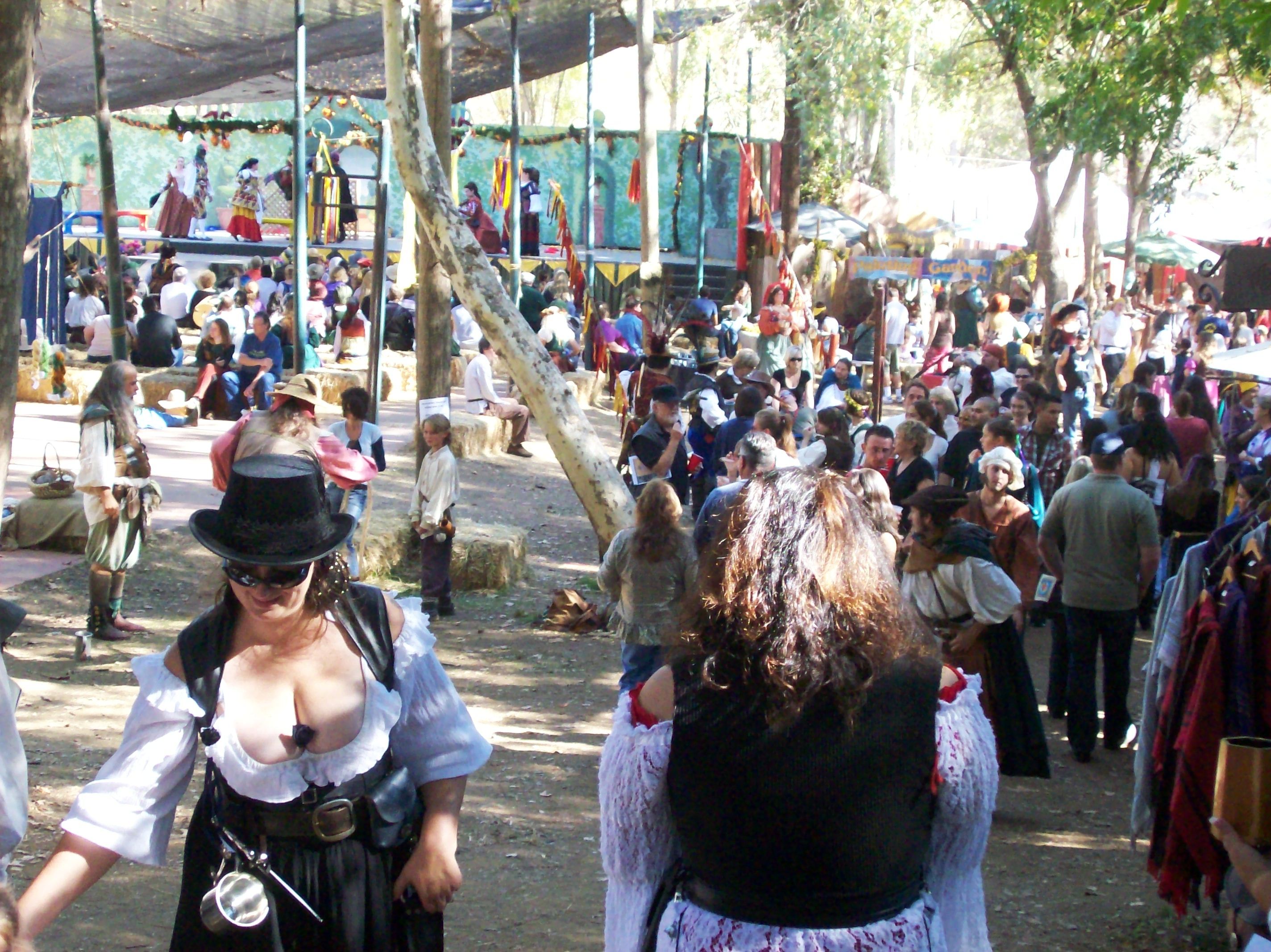
View down the main walkway at the Northern California Renaissance Faire - renfaire23
Sparling Ranch

looking down at San Luis Reservoir, Merced County, May 14, 2006

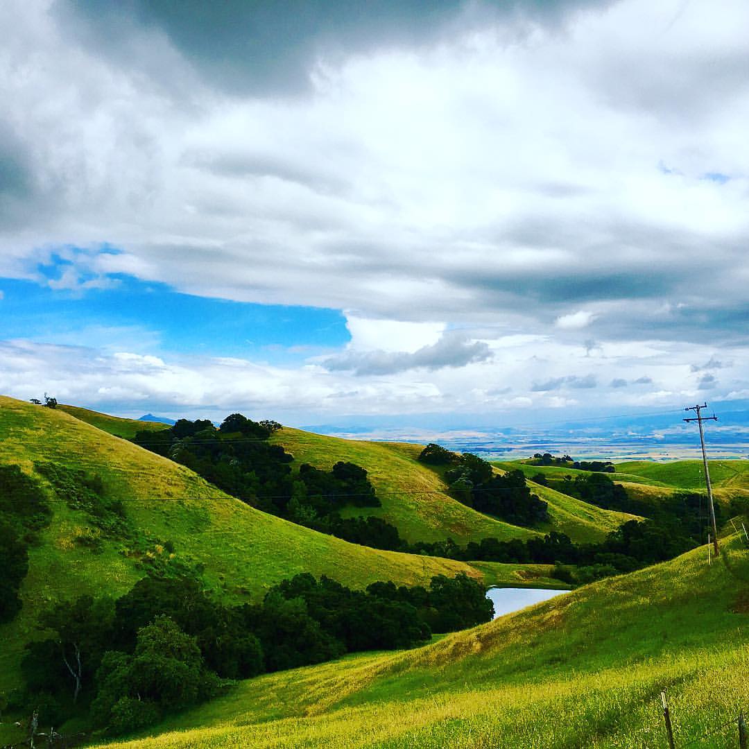
Pacheco View
Nun Lake.

moonrise panorama | san luis reservoir, ca
On a clear day you can see forever
P1170641 California Historical Landmark No. 1017 - Gilroy Yamato Hot Springs Resort
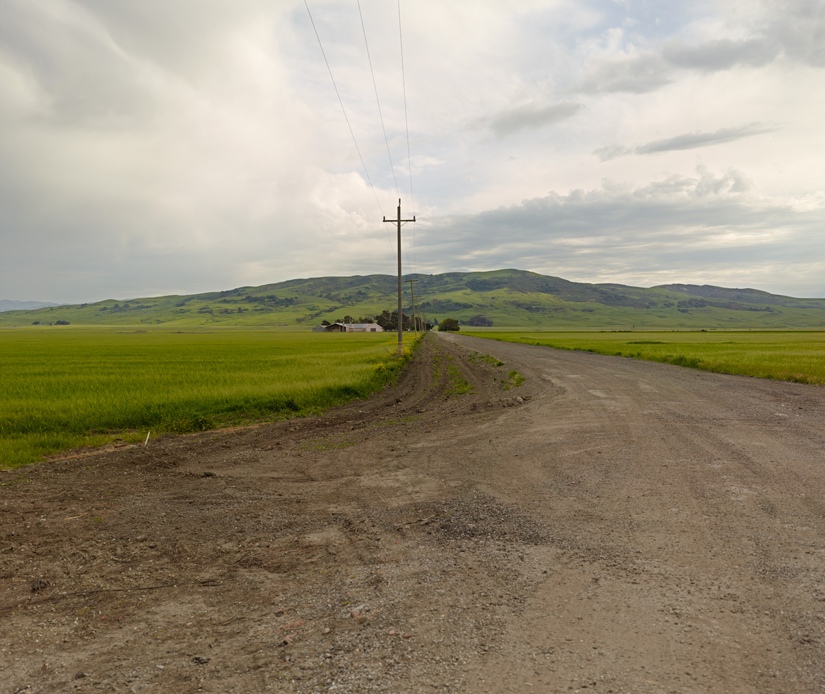
Hwy 152, Paecho Pass, California
View from top
San Luis Reservoir View 1
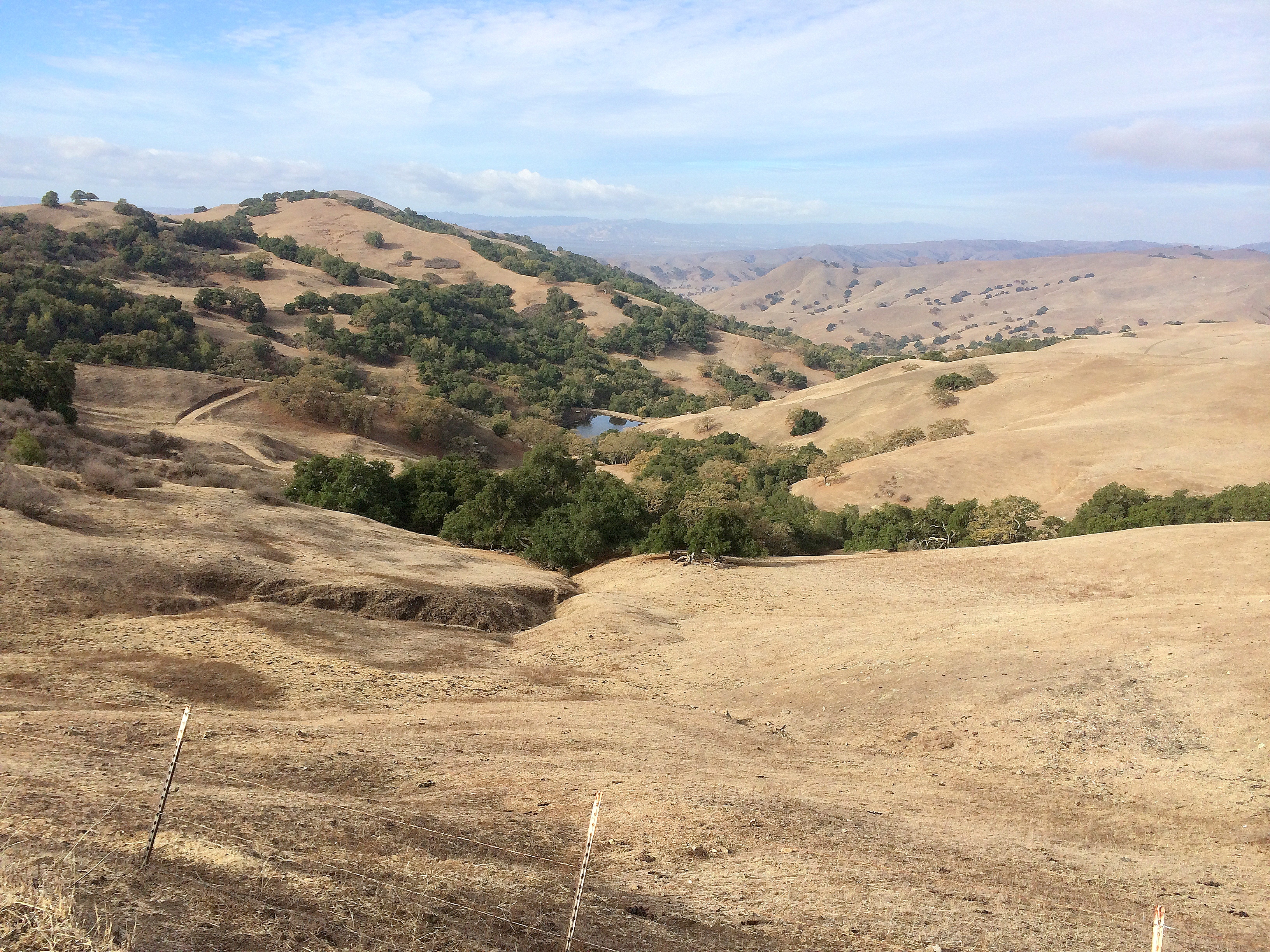
Hills above the Ren Faire
View across Coyote Creek towards Coit Road
View northeast from Blue Ridge
Day 9: Returning Home in 100 Degree Weather
View southeast of Hunting Hollow trail
0IQ180_7466-9
Not long before the green is gone
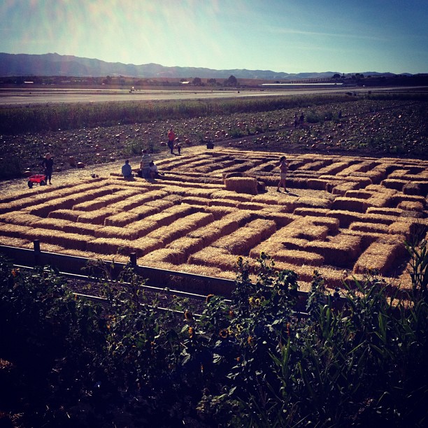
#maze
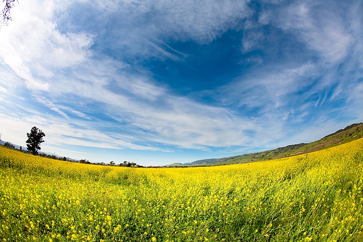
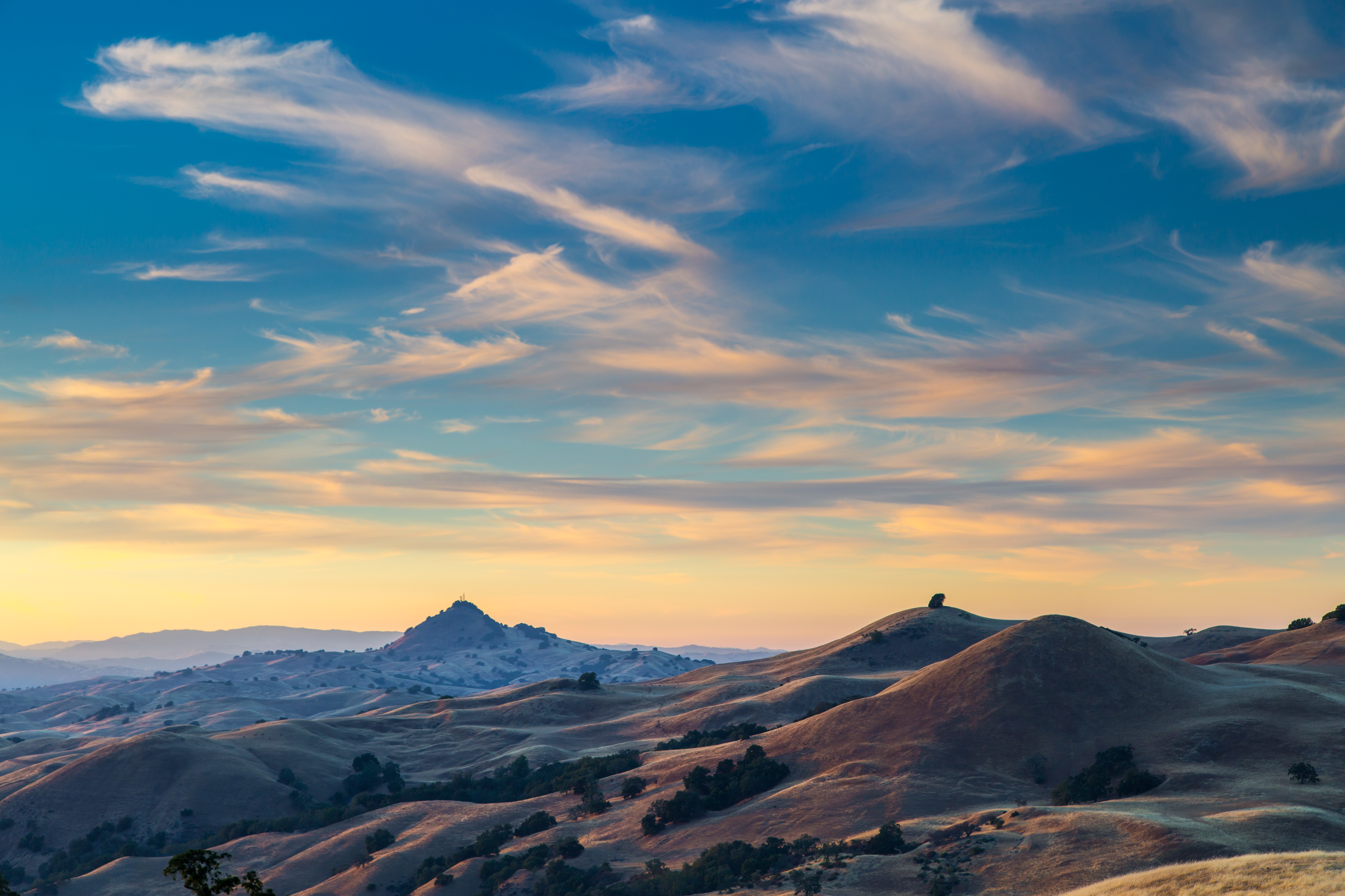
Spring of NoCal
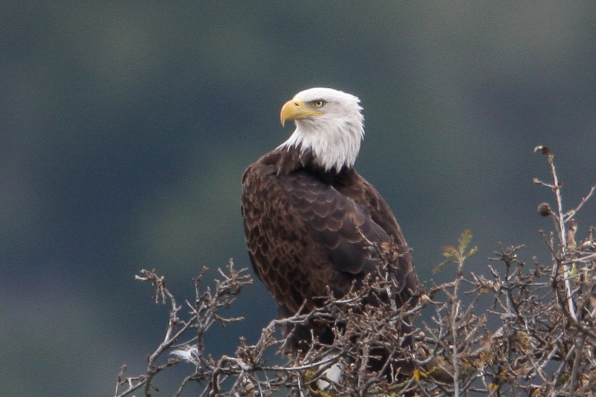
Bald Eagle
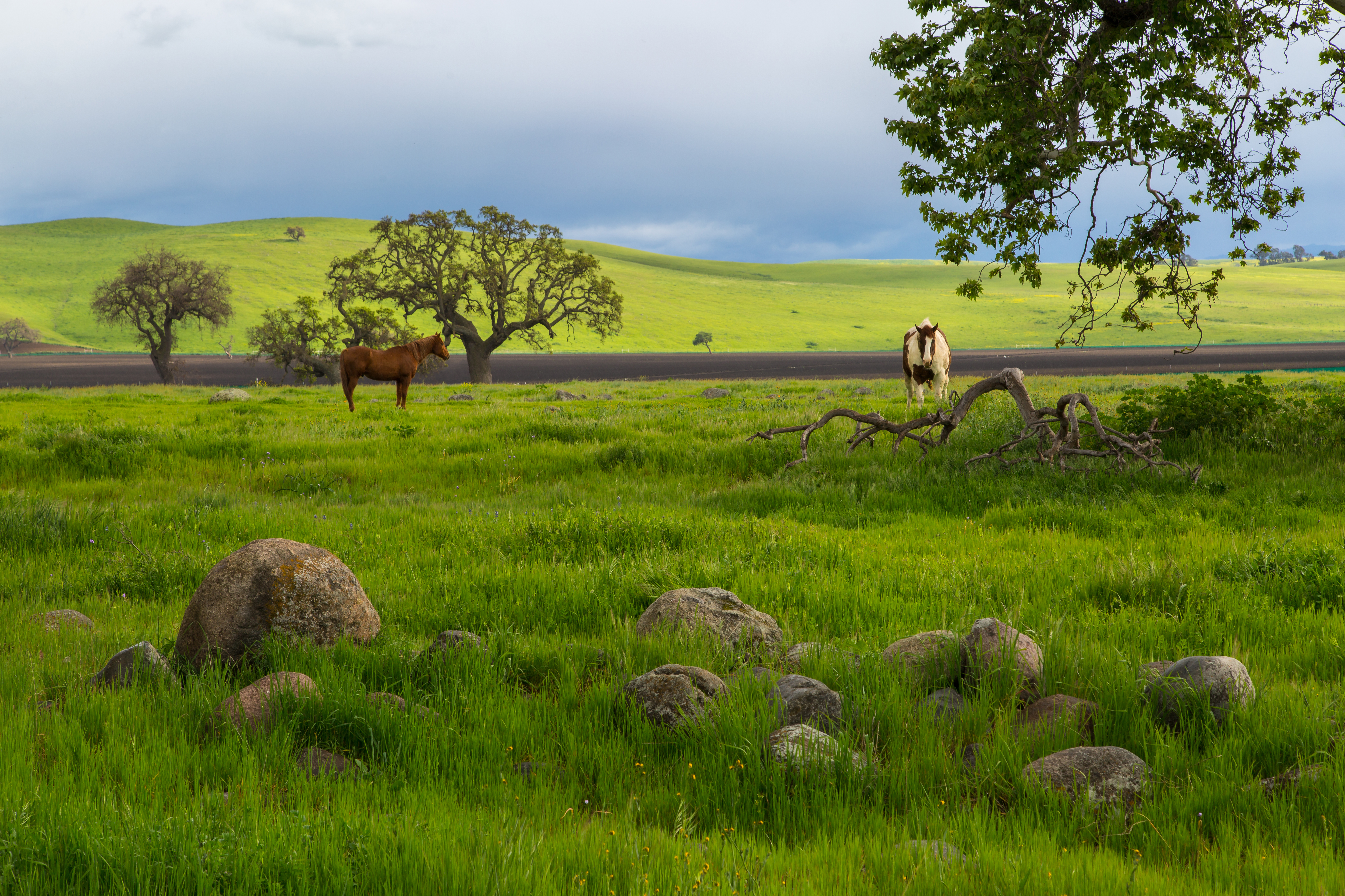
Country Scenery
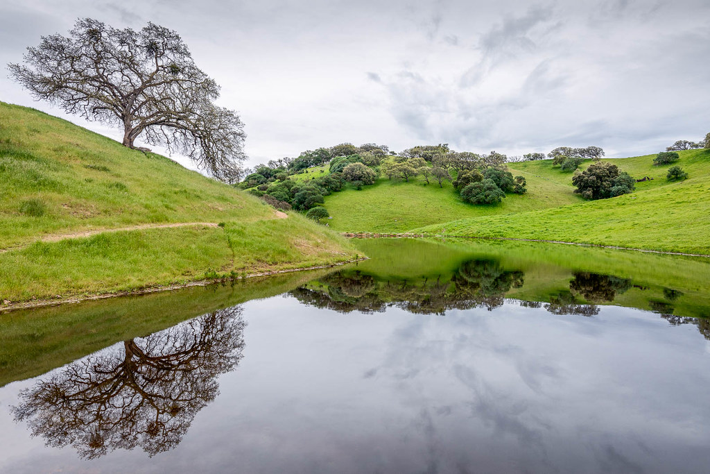
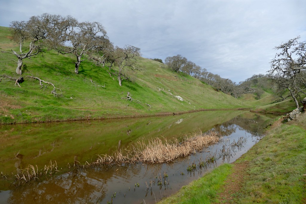
The Pond

The Rancho

The Uneven Diffusion of Certainty
Coast Ranges cycle climb
Getting ready

IMG_5607.jpg
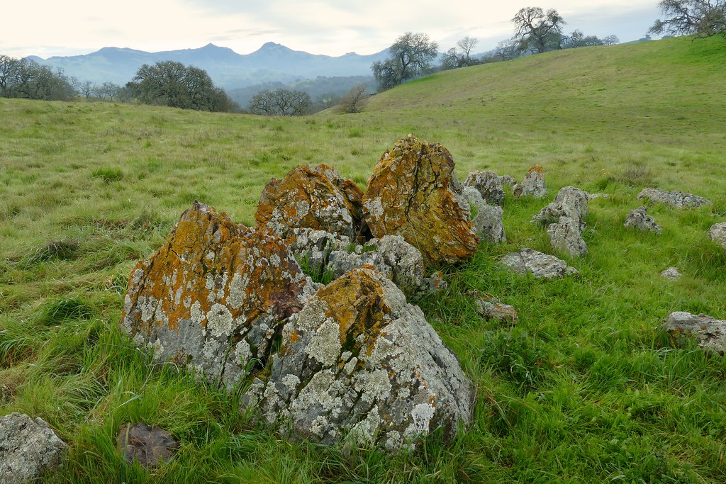
colorful lichen-covered outcrops

IMG_5646.jpg
Distance in time and place
20171111-DSCF7638-HDR
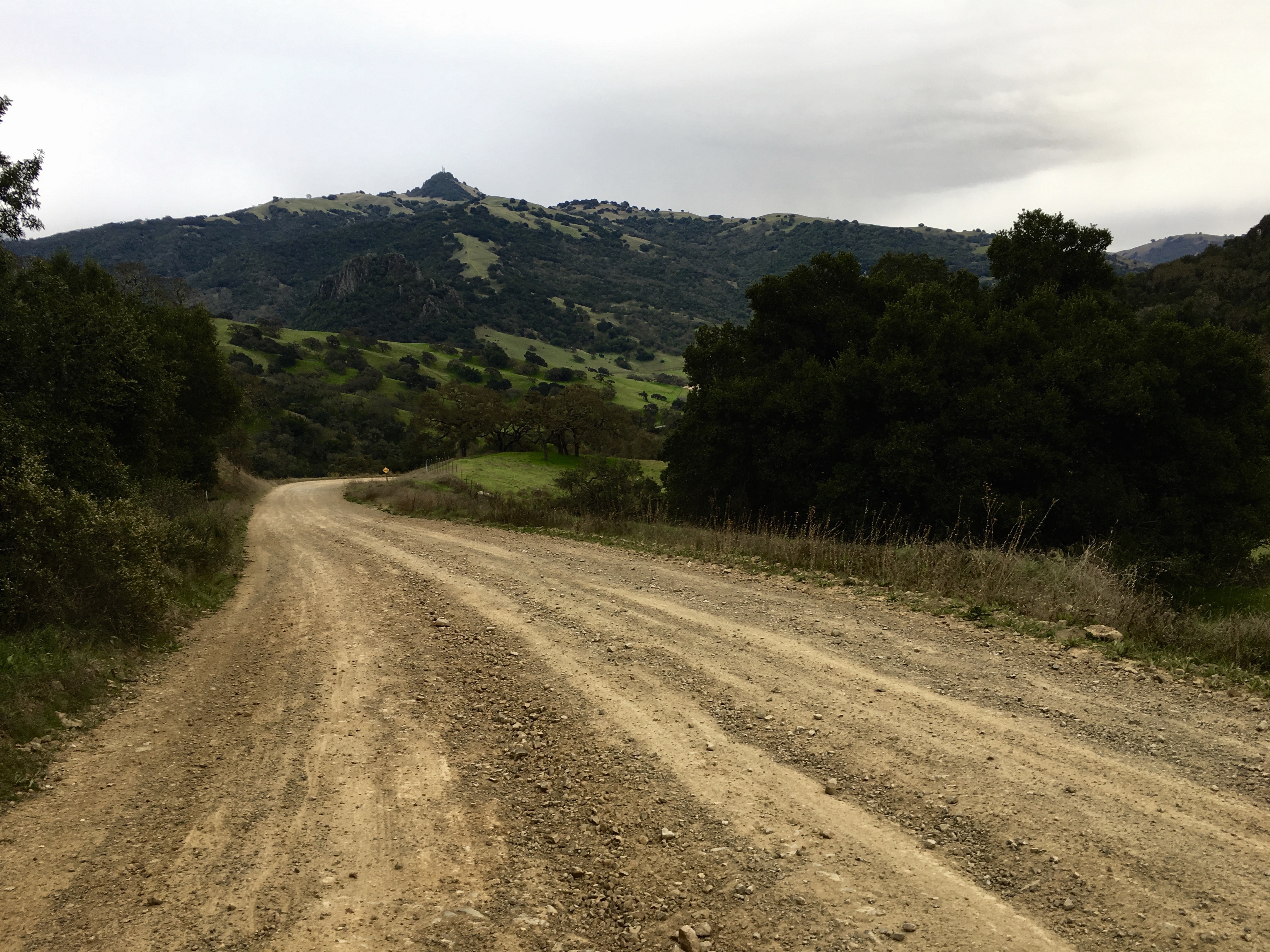
The Road Goes Ever On
Topographic Map of Pacheco Pass Hwy, Hollister, CA, USA
Find elevation by address:

Places near Pacheco Pass Hwy, Hollister, CA, USA:
Casa De Fruta
Pacheco Pass Hwy, Gilroy, CA, USA
San Jose-sunnyvale-santa Clara, Ca
Fairview Rd, Hollister, CA, USA
7000 Daniel Ct
8100 Frazier Lake Rd
Manfroy Ranch Road
Pacheco Pass Hwy, Gilroy, CA, USA
El Camino Real, Gilroy, CA, USA
Gilroy
2595 Church Ave
2595 Church Ave
7680 Monterey Street
US-, San Juan Bautista, CA, USA
Muraoka Dr, Gilroy, CA, USA
1030 W 10th St
611 1st St
Byers Street
Team Patereau Property Management
1st St, Gilroy, CA, USA
Recent Searches:
- Elevation of 2 Henschke Ct, Caboolture QLD, Australia
- Elevation of Redondo Ave, Long Beach, CA, USA
- Elevation of Sadovaya Ulitsa, 20, Rezh, Sverdlovskaya oblast', Russia
- Elevation of Ulitsa Kalinina, 79, Rezh, Sverdlovskaya oblast', Russia
- Elevation of 72-31 Metropolitan Ave, Middle Village, NY, USA
- Elevation of 76 Metropolitan Ave, Brooklyn, NY, USA
- Elevation of Alisal Rd, Solvang, CA, USA
- Elevation of Vista Blvd, Sparks, NV, USA
- Elevation of 15th Ave SE, St. Petersburg, FL, USA
- Elevation of Beall Road, Beall Rd, Florida, USA