Elevation of Janesville, CA, USA
Location: United States > California >
Longitude: -120.53942
Latitude: 40.2840423
Elevation: 1469m / 4820feet
Barometric Pressure: 85KPa
Elevation Map:
Satellite Map:
Related Photos:
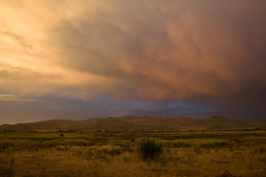
Storm @ sunset
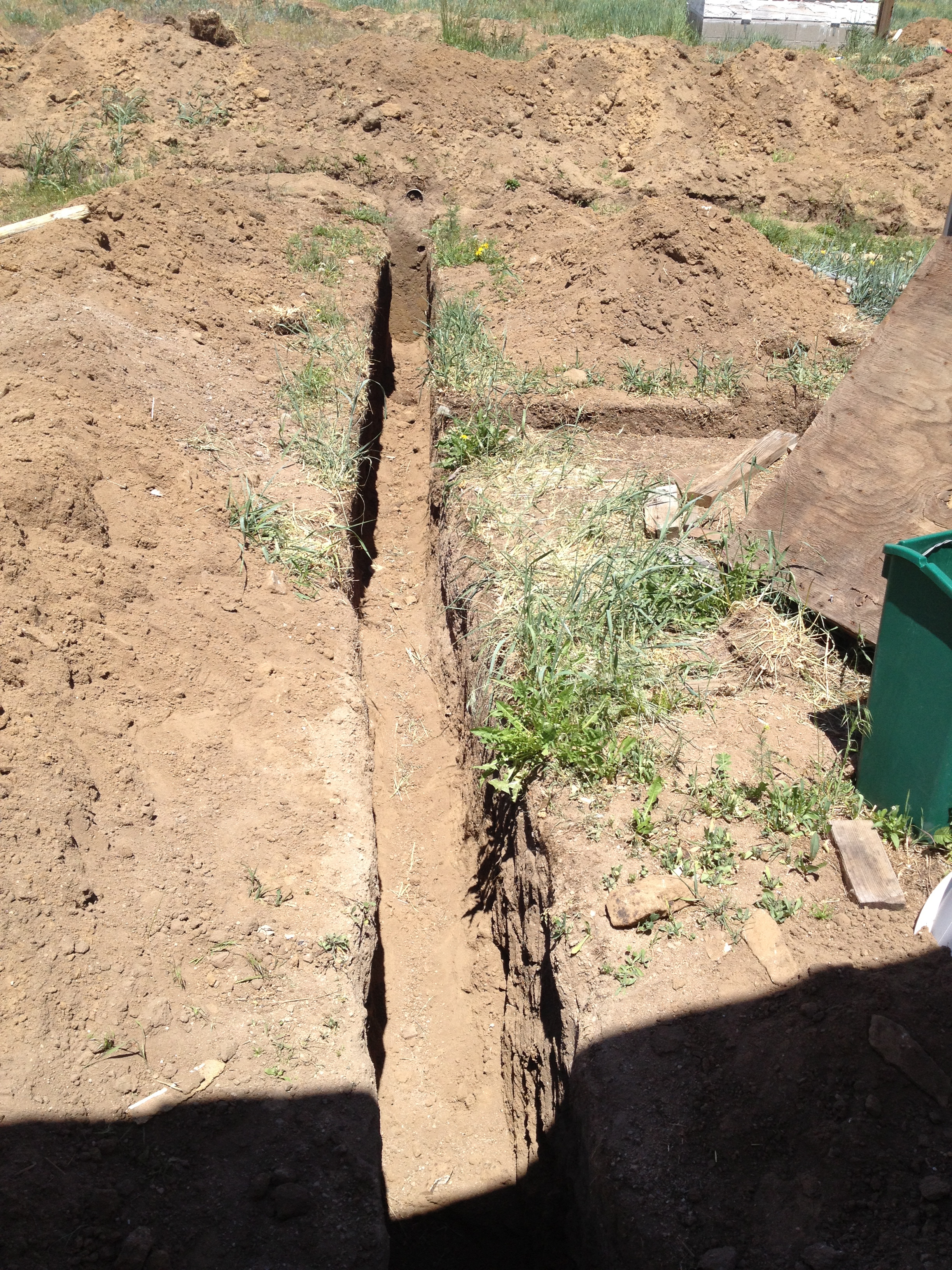
Side View

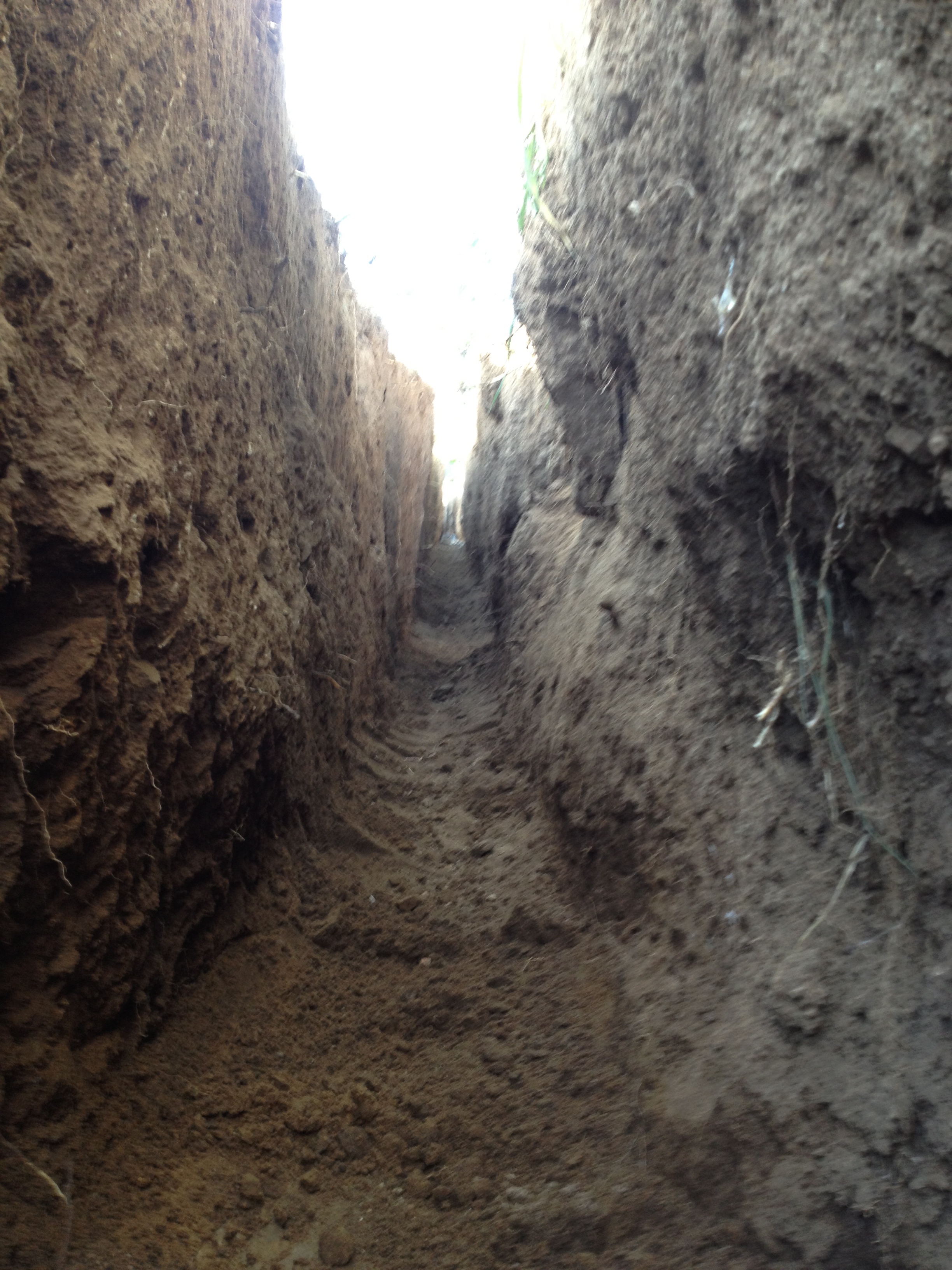
Moles View
Gophers View
Another View

WARNING - do not spray bacon into face
Air and Light

A View

Rest Area View
A Different View

Darker View

Top View

Under the Lazy
Grass View
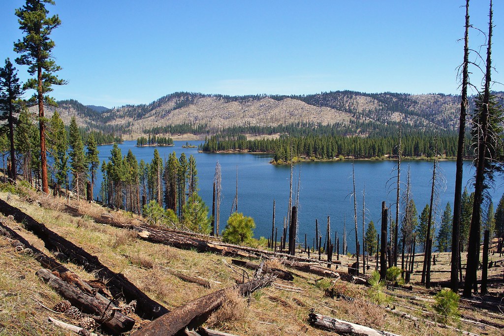
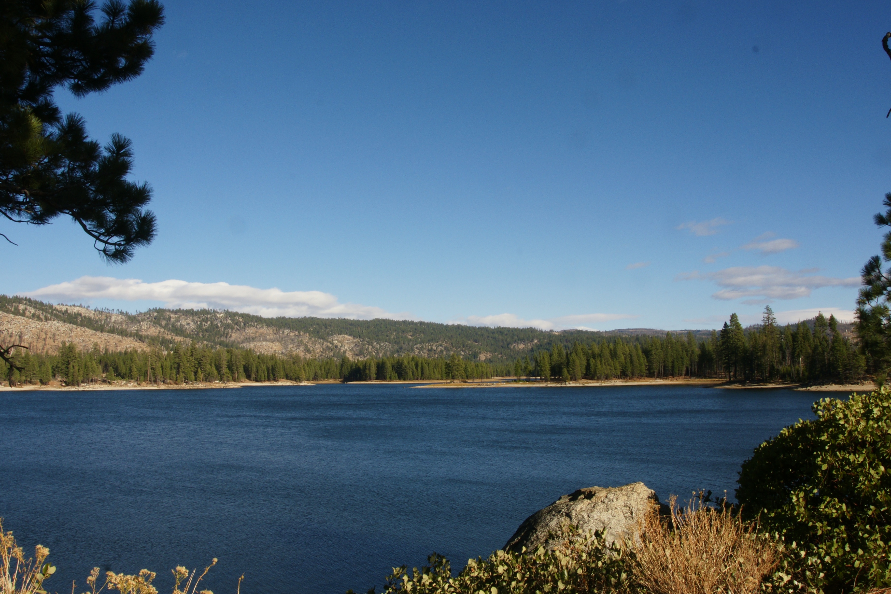
antelope lake
Shrubs // Made a small rest stop here with Marianna. We saw a small bird house and a few extra things on the ground you'd want to watch out for. Oh, and this.
Mooie landeijke omgeving

_8060187.NEF
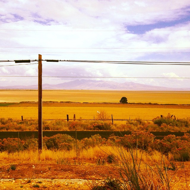
Southern Lassen County

Cannot Tell

Cannot Tell 2
the essence of things
ATR20121021-1545-297

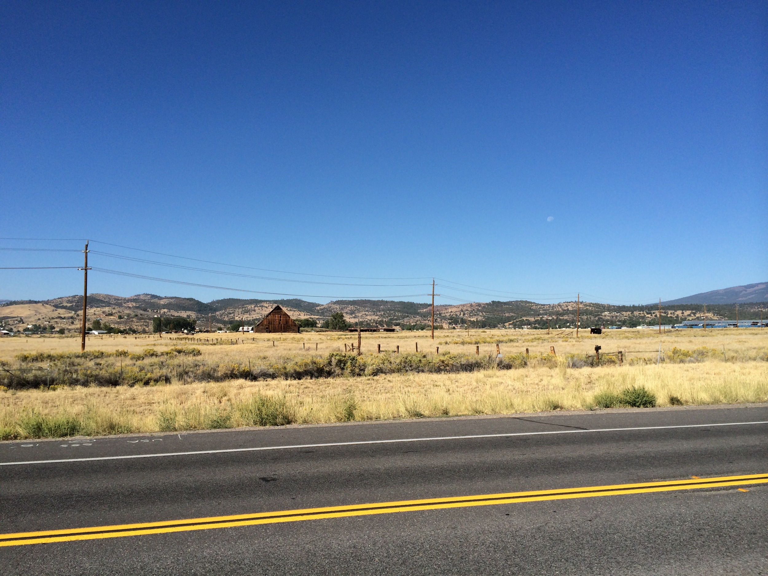
Tractor in a field
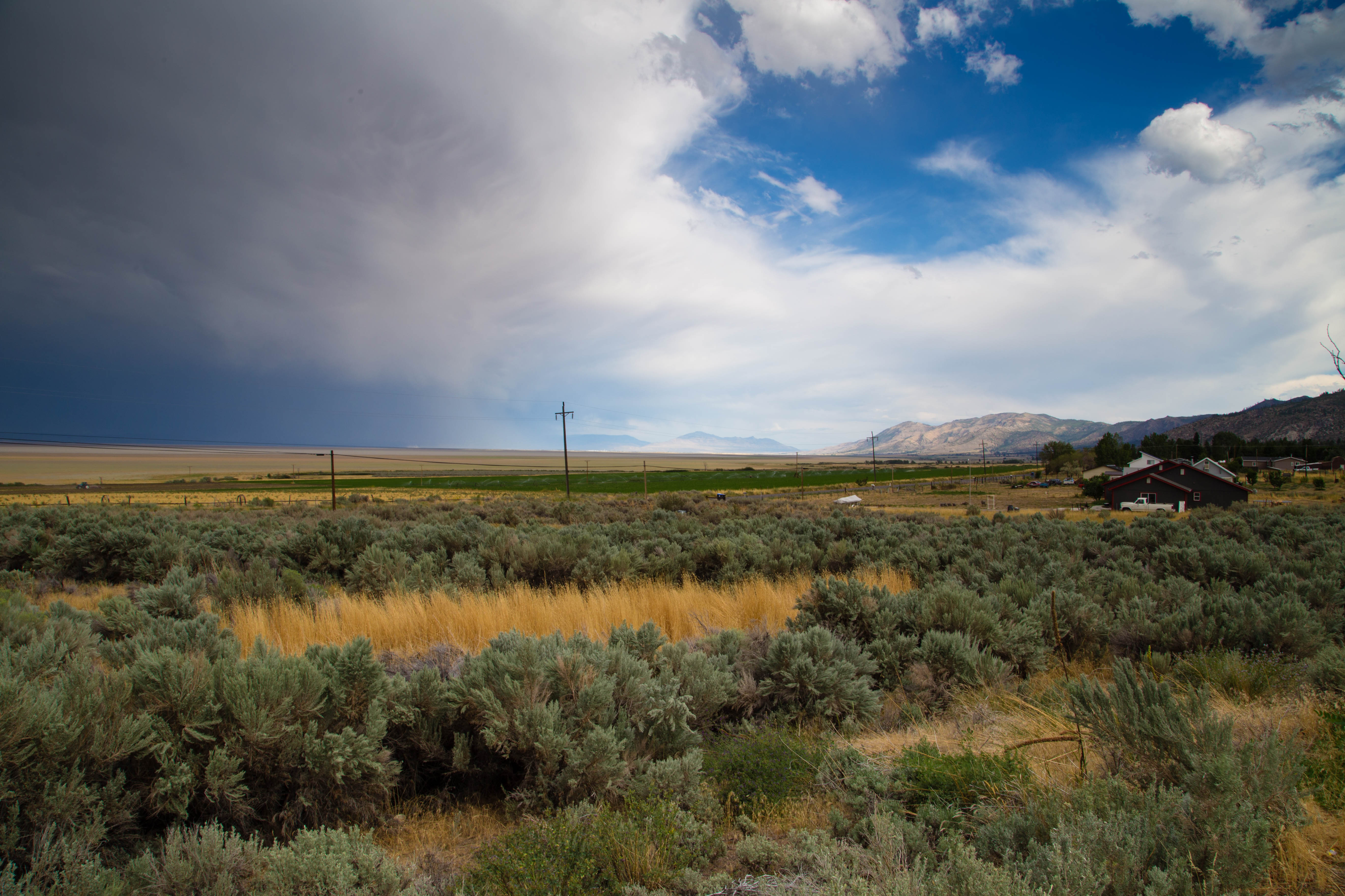
Highway 395 - Honey Lake
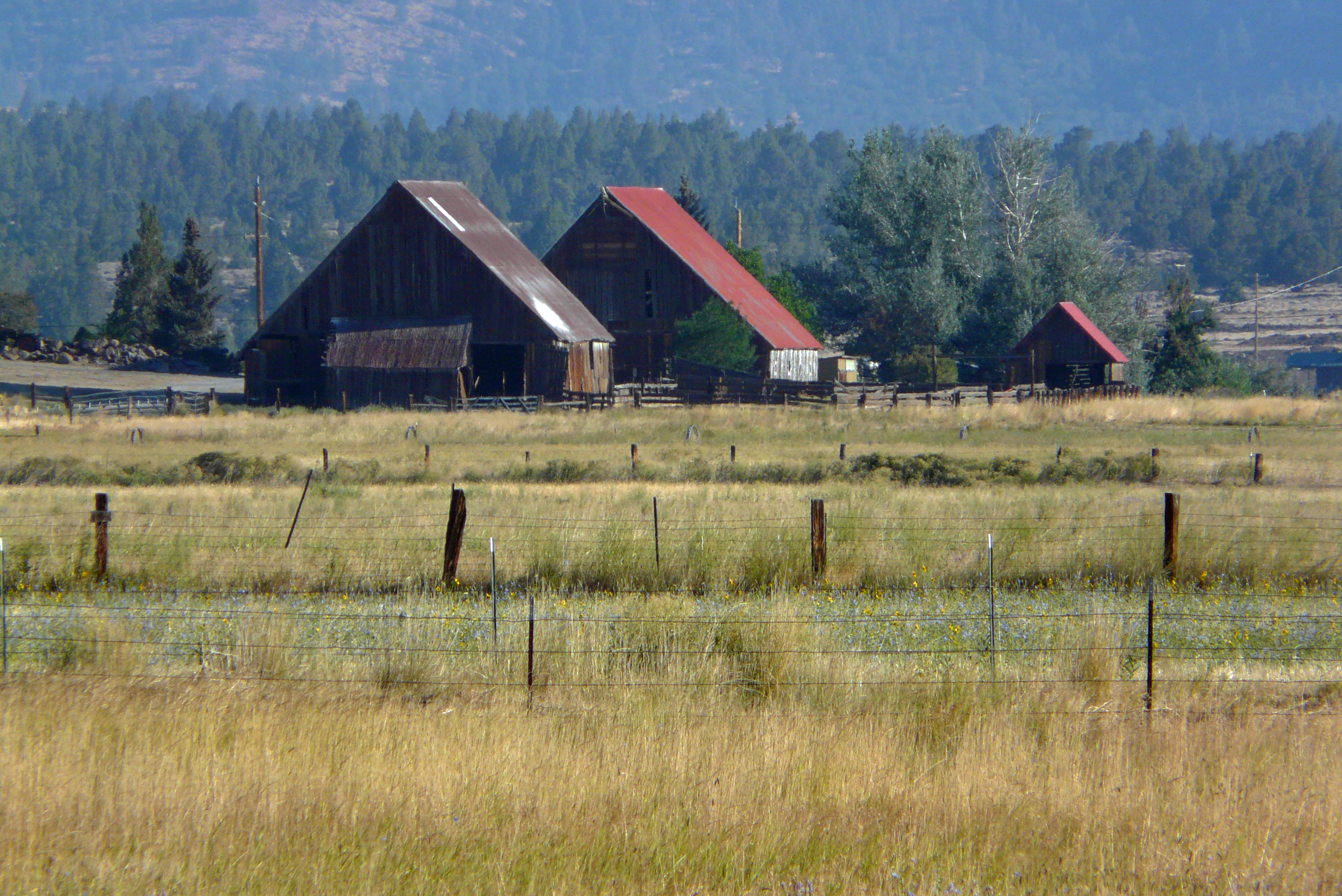
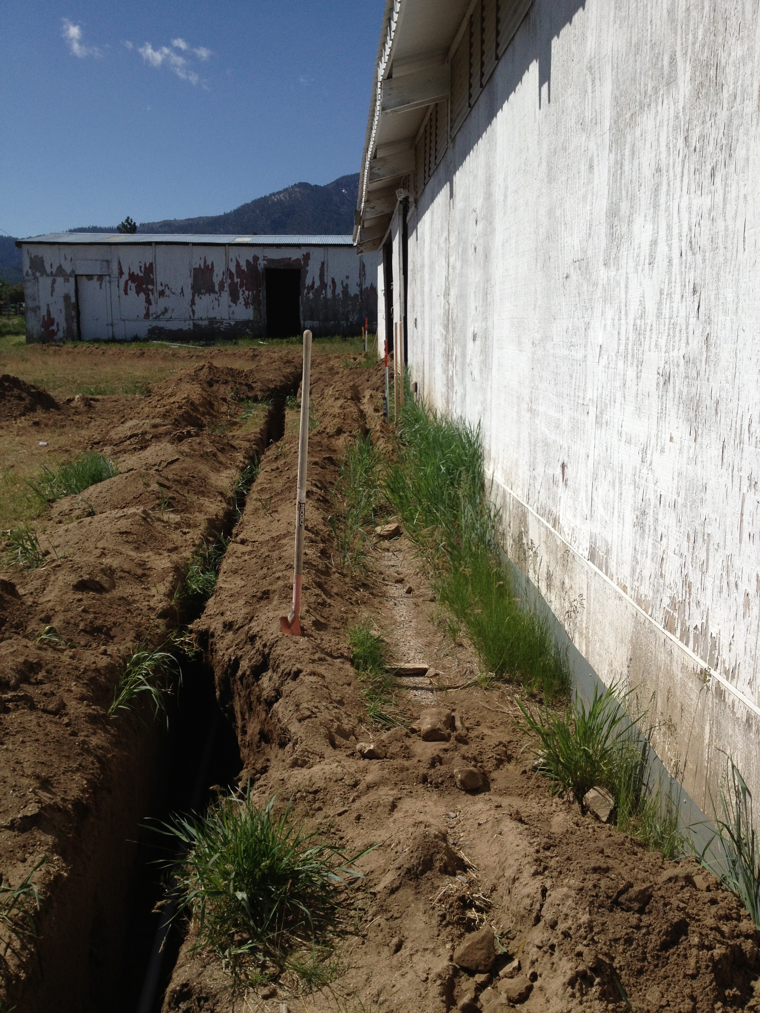
The Barn family
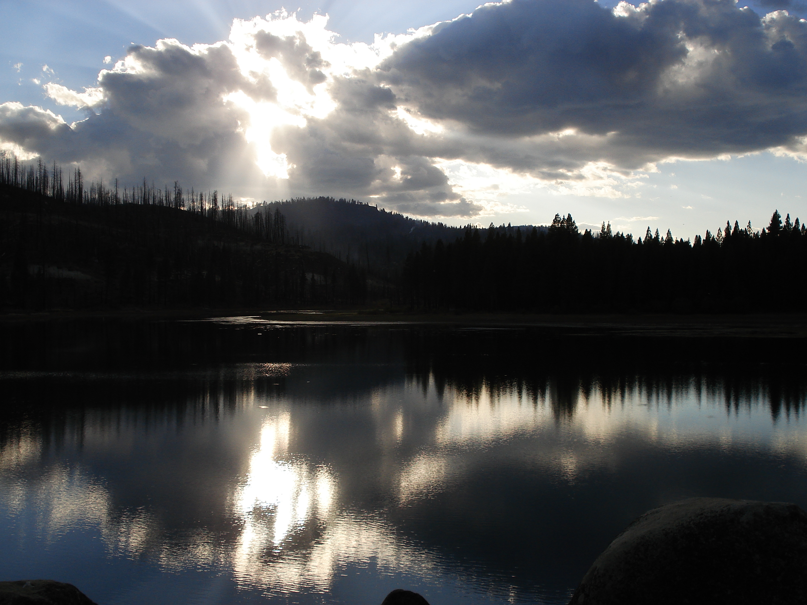
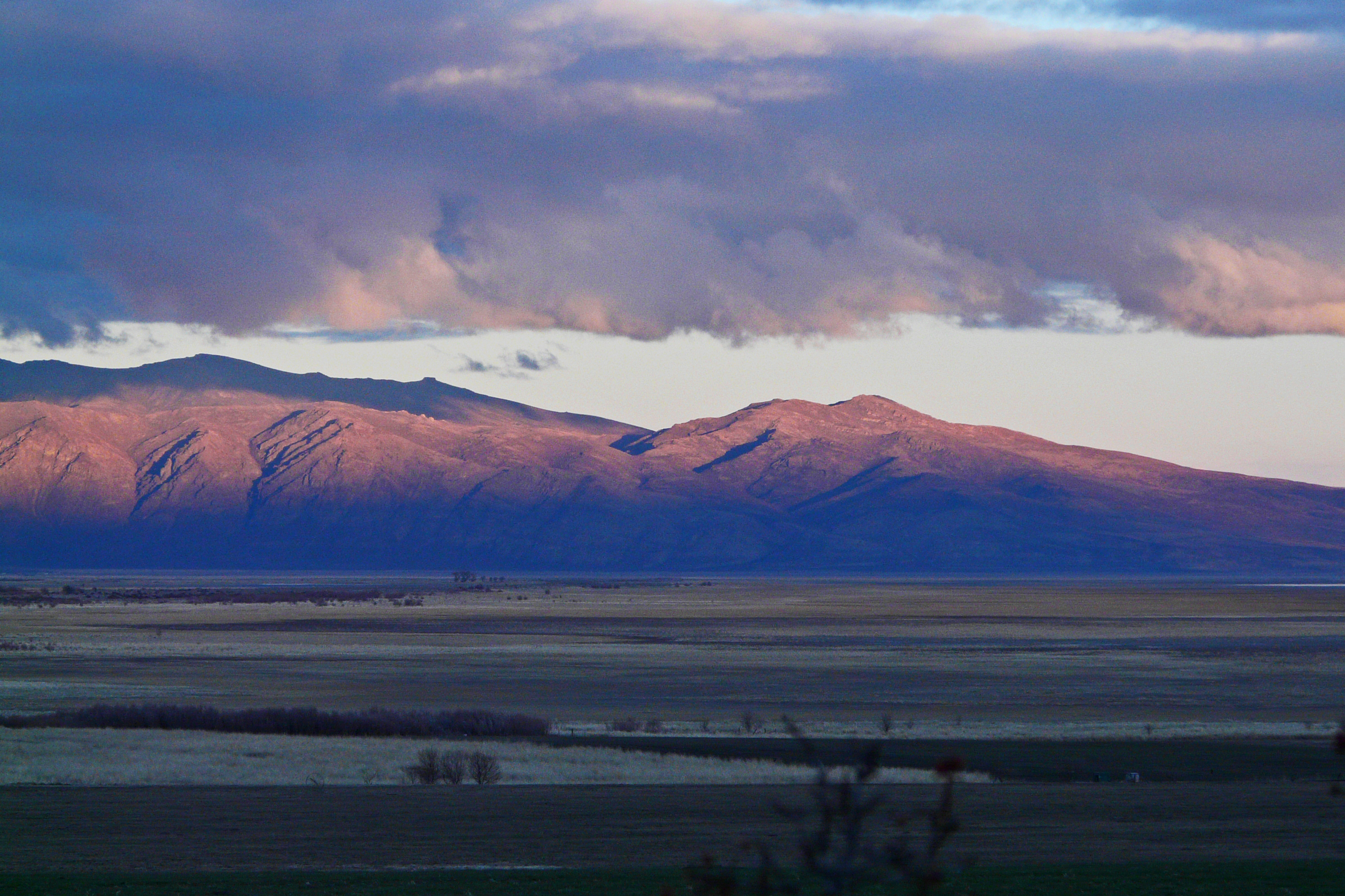
Sunburst Reflection

ATR20121021-1555-303
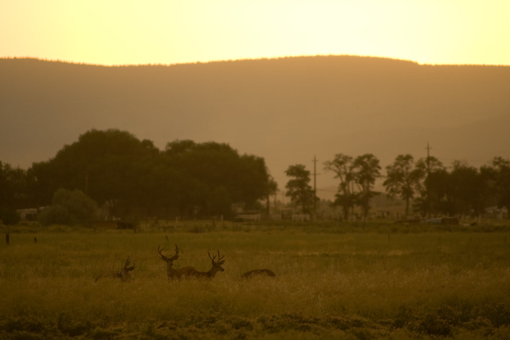
Bucks in the field
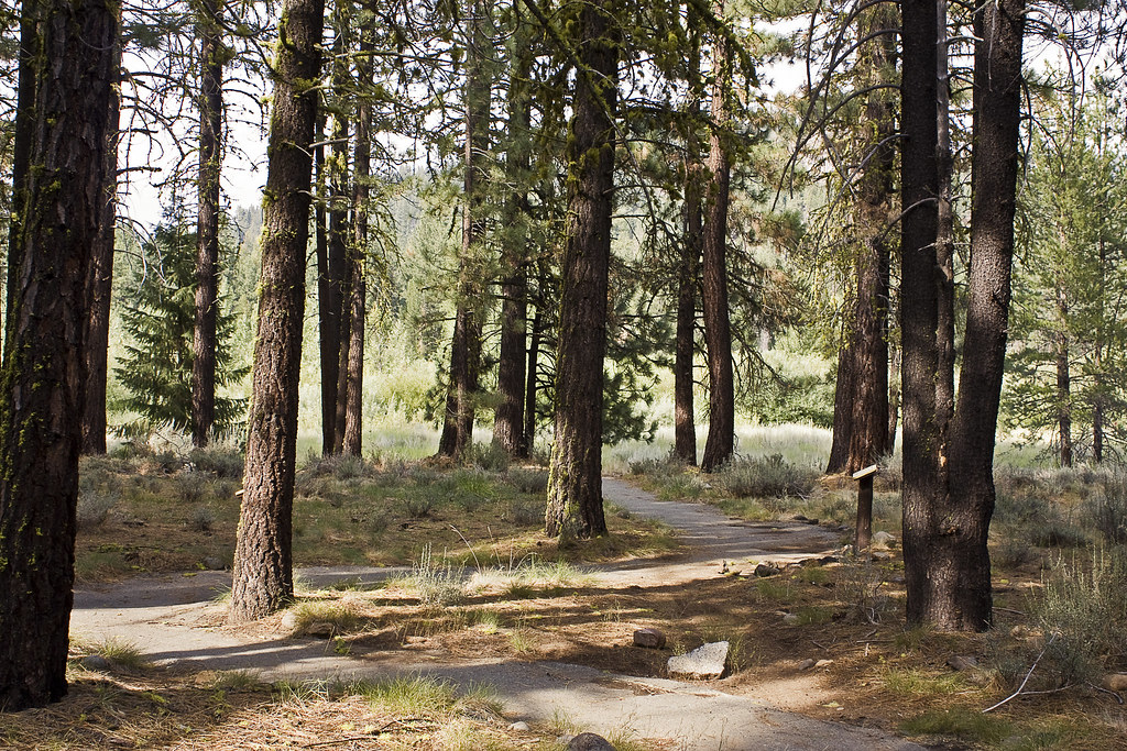
nature trail
ATR20121021-1544-296
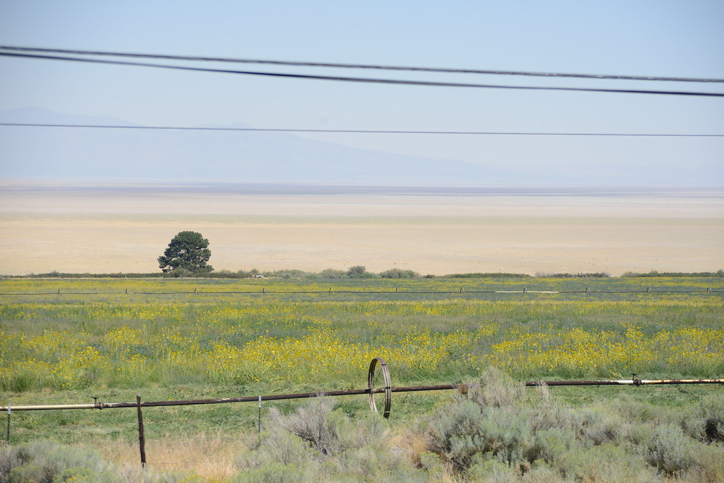
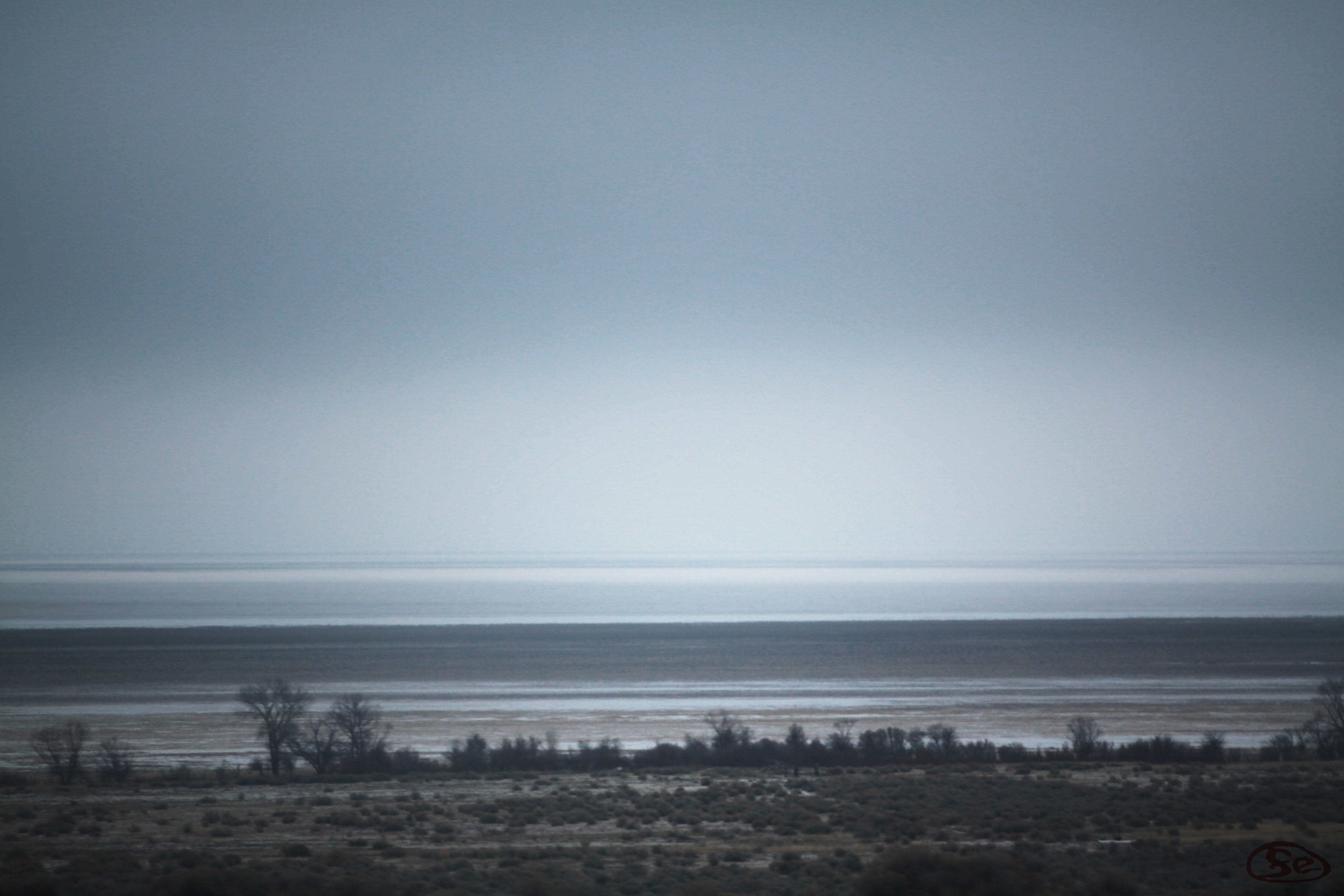
Honey "Lake"

Just About Level
Topographic Map of Janesville, CA, USA
Find elevation by address:

Places in Janesville, CA, USA:
Places near Janesville, CA, USA:
Thompson Peak
462-655
704-600 Indians Rd
460 Lakecrest Rd
705-210 Indale Dr
472-950
710-205
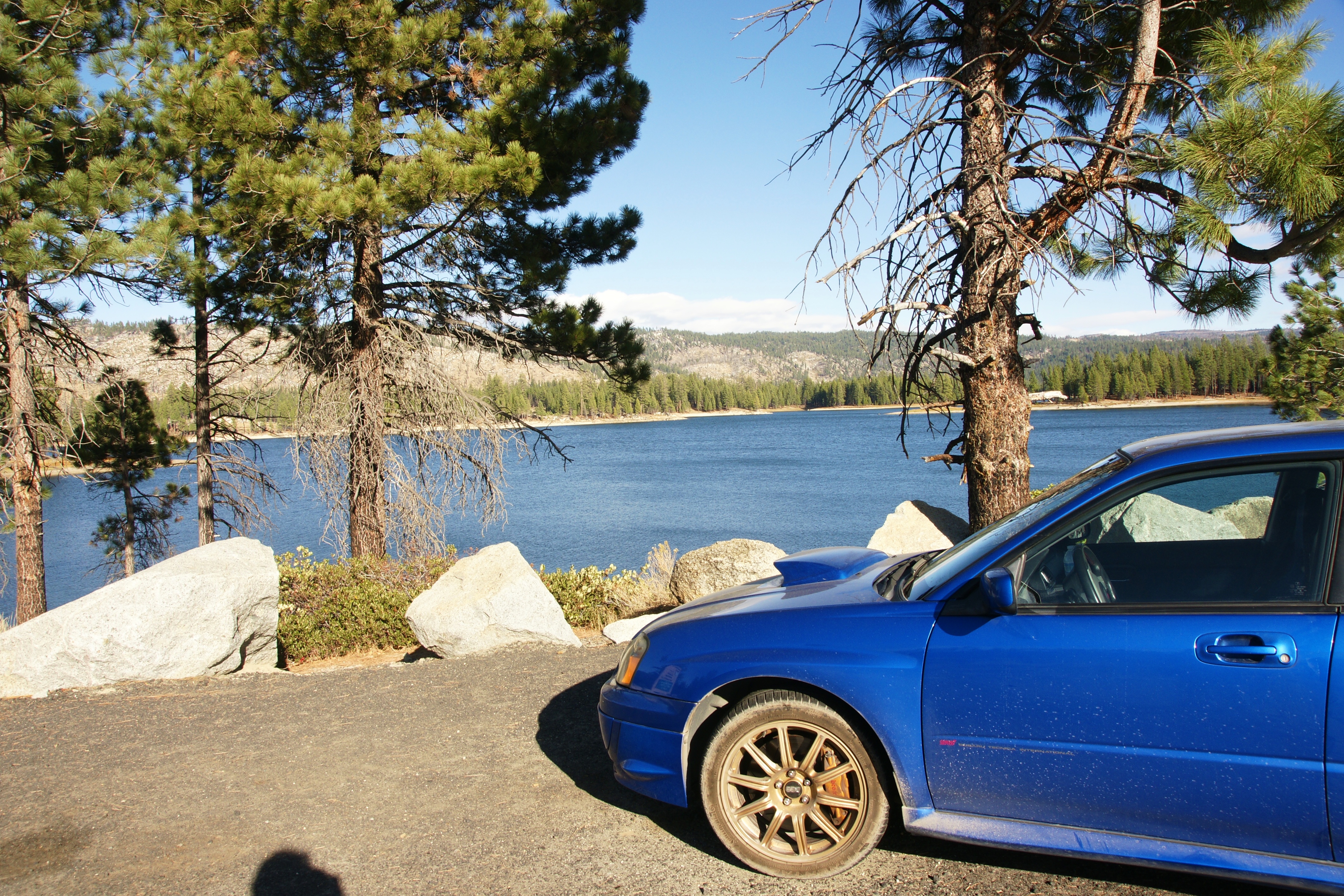
Antelope Lake
Boulder Creek Campground
699-740 Old Archery Rd
699-500 Oak Mountain Dr
718-755
720-030 Westview Rd
Diamond Mountain
2301 Main St
Susanville
Litchfield
480-250
1182 27n09b
Babcock Peak
Recent Searches:
- Elevation of Corso Fratelli Cairoli, 35, Macerata MC, Italy
- Elevation of Tallevast Rd, Sarasota, FL, USA
- Elevation of 4th St E, Sonoma, CA, USA
- Elevation of Black Hollow Rd, Pennsdale, PA, USA
- Elevation of Oakland Ave, Williamsport, PA, USA
- Elevation of Pedrógão Grande, Portugal
- Elevation of Klee Dr, Martinsburg, WV, USA
- Elevation of Via Roma, Pieranica CR, Italy
- Elevation of Tavkvetili Mountain, Georgia
- Elevation of Hartfords Bluff Cir, Mt Pleasant, SC, USA