Elevation of Antelope Lake, California, USA
Location: United States > California > Plumas County >
Longitude: -120.59266
Latitude: 40.1790404
Elevation: 1533m / 5030feet
Barometric Pressure: 84KPa
Elevation Map:
Satellite Map:
Related Photos:

WARNING - do not spray bacon into face

A View
Darker View

Top View

Side View

Under the Lazy

Gophers View

Rest Area View

Air and Light
Moles View

Another View

Grass View

A Different View

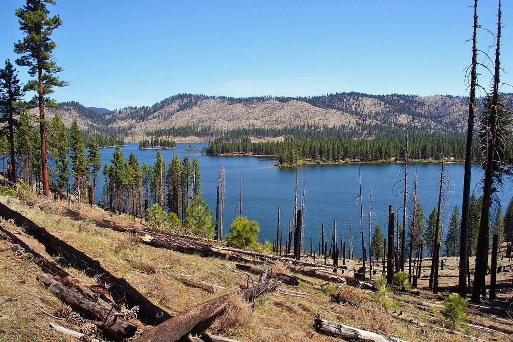
Honey Lake

Honey Lake

CAN-0602-065 - View

CAN-0602-066 - View

CAN-0602-062 - View

CAN-0602-067 - View

Honey Lake
Pogonip 8
antelope lake

Another Widow Web

Honey Lake Valley

Southern Lassen County

Highway 395 - Honey Lake

Just About Level

So Much More To Do

Poured In

Poured In 1

Leveling 2

Thompson Peak Fire Lookout

Leveling 1

Still left!

Cannot Tell 2

Cannot Tell
On to the New House Well

Honey "Lake"

On Sand
Topographic Map of Antelope Lake, California, USA
Find elevation by address:

Places near Antelope Lake, California, USA:
Boulder Creek Campground
Babcock Peak
Thompson Peak
Elephants Playground
1182 27n09b
Janesville
704-600 Indians Rd
27254 Beckwourth Genesee Rd
460 Lakecrest Rd
462-655
Diamond Mountain
720-030 Westview Rd
699-740 Old Archery Rd
705-210 Indale Dr
Mount Ingalls
699-500 Oak Mountain Dr
6156 Beckwourth Genesee Rd
6156 Beckwourth Genesee Rd
472-950
Genesee
Recent Searches:
- Elevation of W Granada St, Tampa, FL, USA
- Elevation of Pykes Down, Ivybridge PL21 0BY, UK
- Elevation of Jalan Senandin, Lutong, Miri, Sarawak, Malaysia
- Elevation of Bilohirs'k
- Elevation of 30 Oak Lawn Dr, Barkhamsted, CT, USA
- Elevation of Luther Road, Luther Rd, Auburn, CA, USA
- Elevation of Unnamed Road, Respublika Severnaya Osetiya — Alaniya, Russia
- Elevation of Verkhny Fiagdon, North Ossetia–Alania Republic, Russia
- Elevation of F. Viola Hiway, San Rafael, Bulacan, Philippines
- Elevation of Herbage Dr, Gulfport, MS, USA