Elevation of - Belfast Rd, Litchfield, CA, USA
Location: United States > California > Litchfield >
Longitude: -120.44892
Latitude: 40.442805
Elevation: 1256m / 4121feet
Barometric Pressure: 87KPa
Elevation Map:
Satellite Map:
Related Photos:
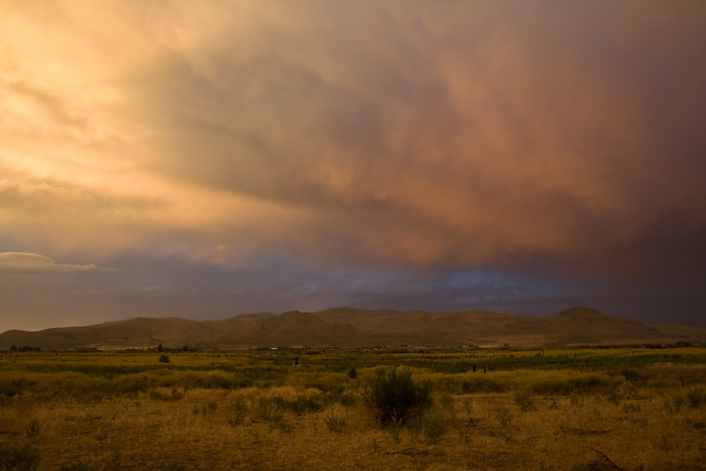
Storm @ sunset

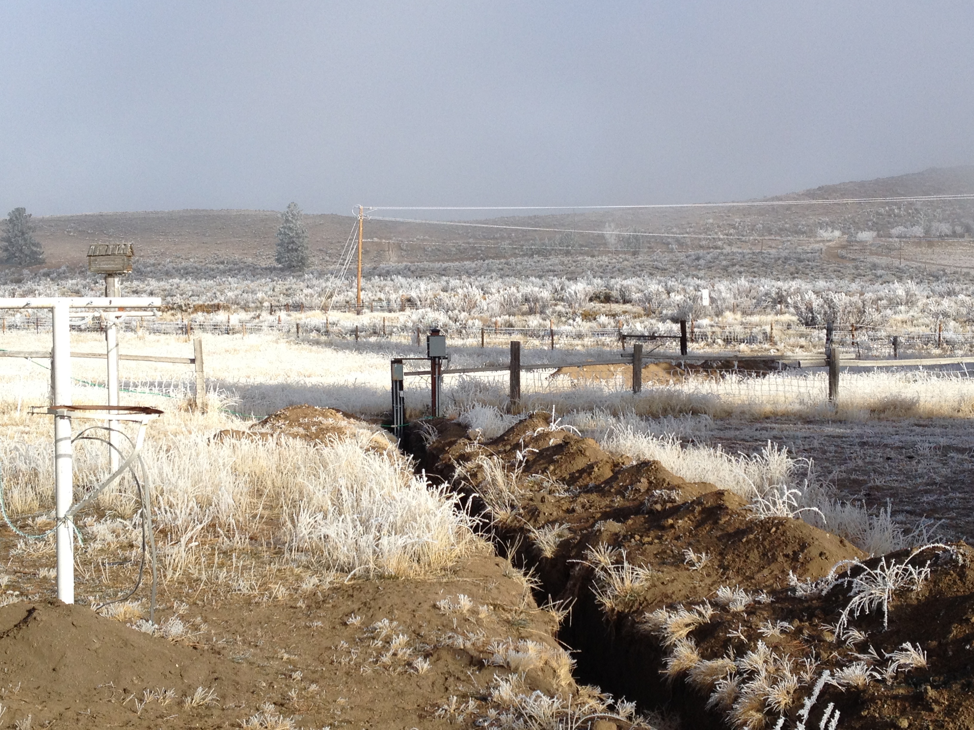
Moles View
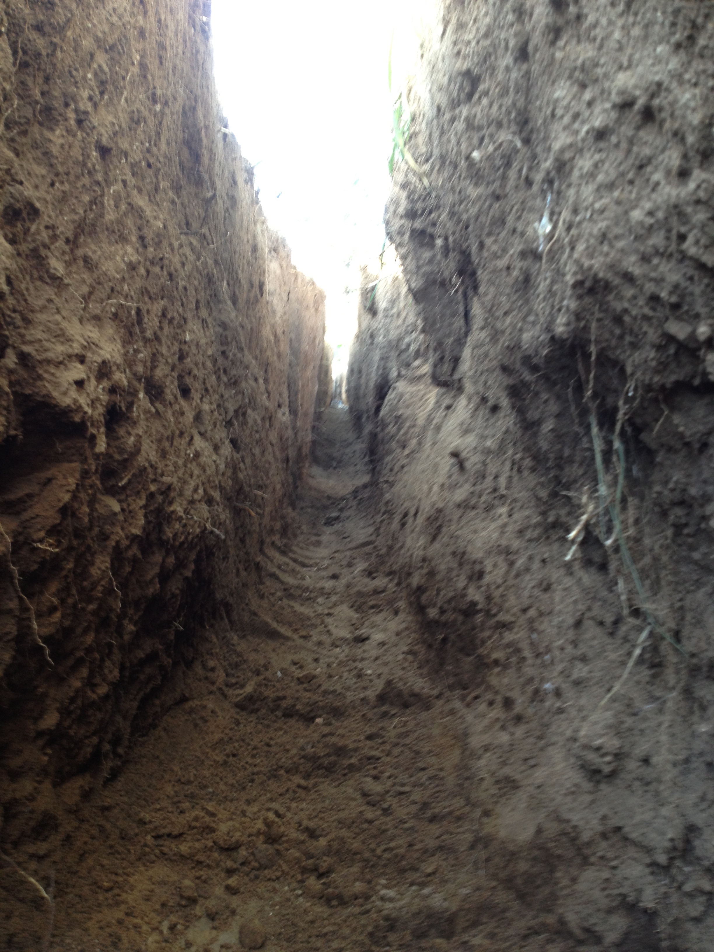
Gophers View
A Different View

Darker View
Grass View
Air and Light
Another View

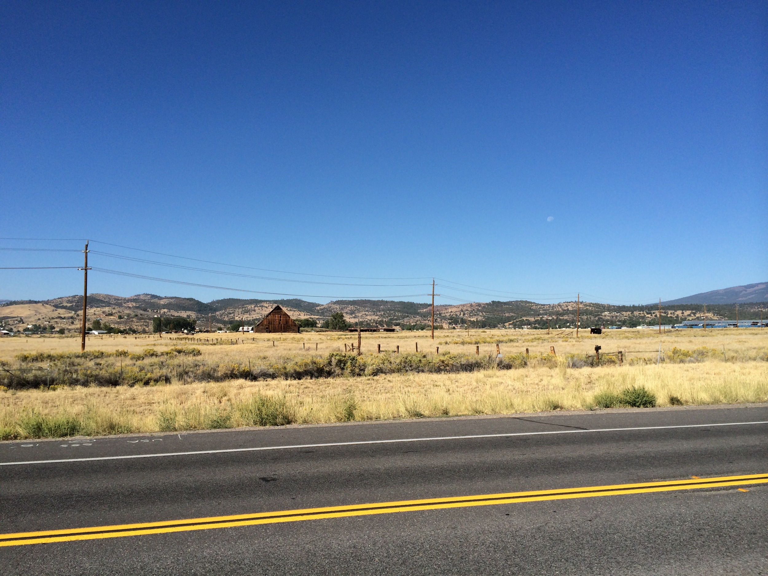
To The Valley Below_3151

Tractor in a field

Cannot Tell
Mooie landeijke omgeving

Cannot Tell 2
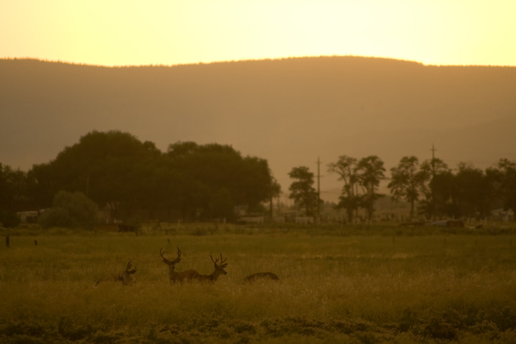
Bucks in the field

Just About Level
Pogonip 8
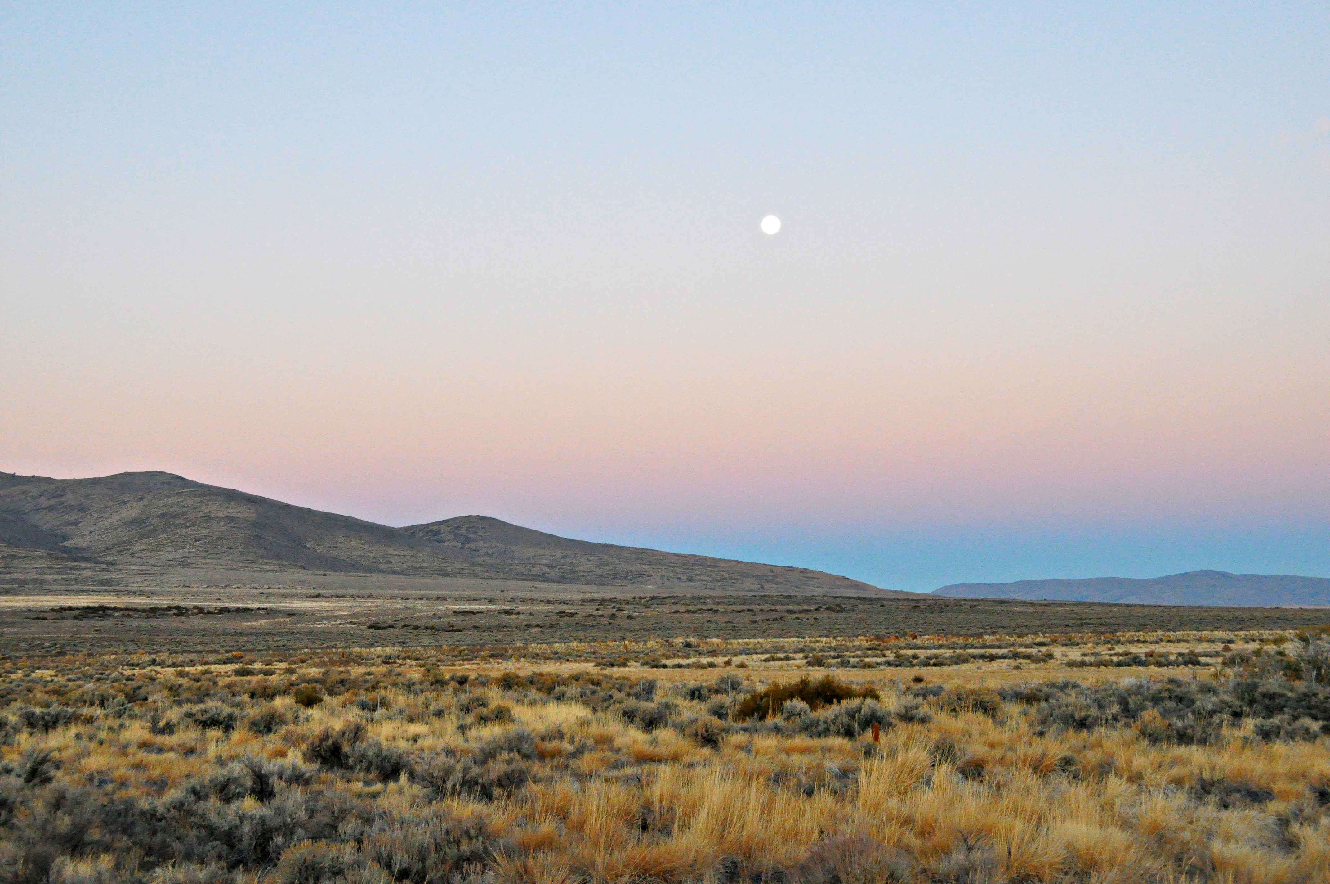
Moonset Litchfield, Ca.

First take off
Another Widow Web
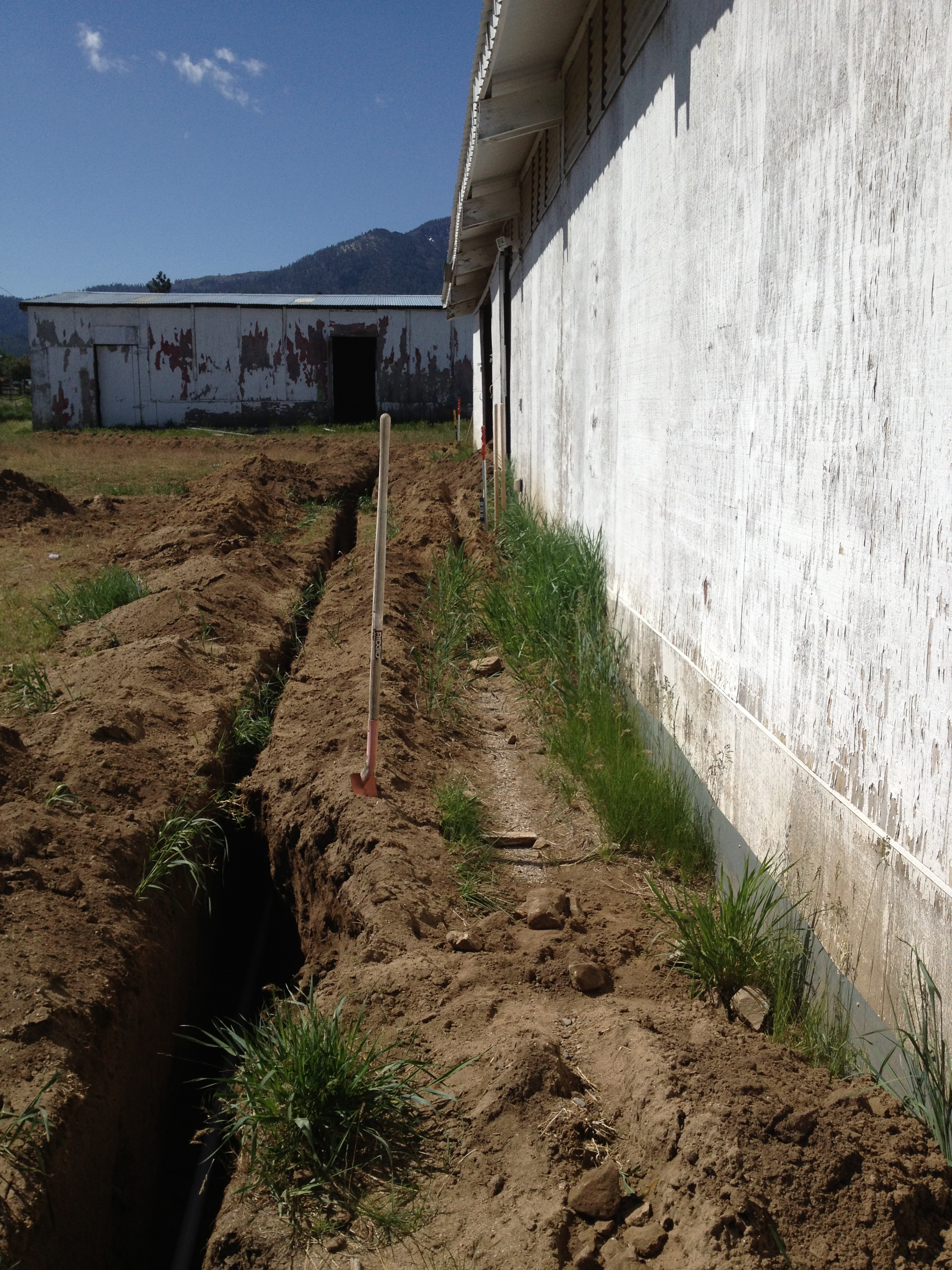
So Much More To Do
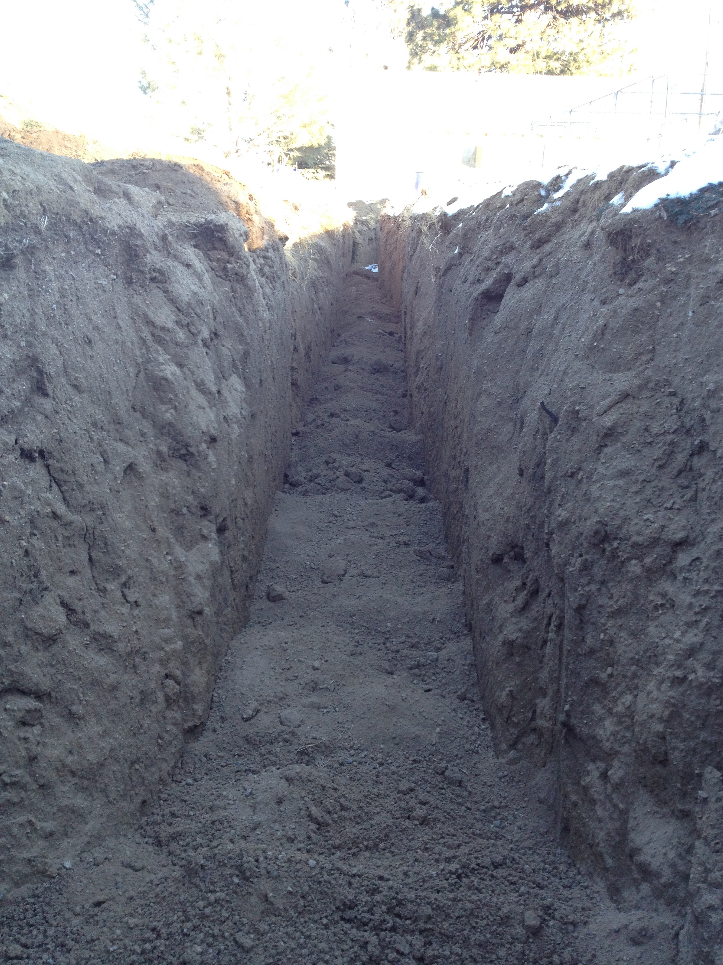
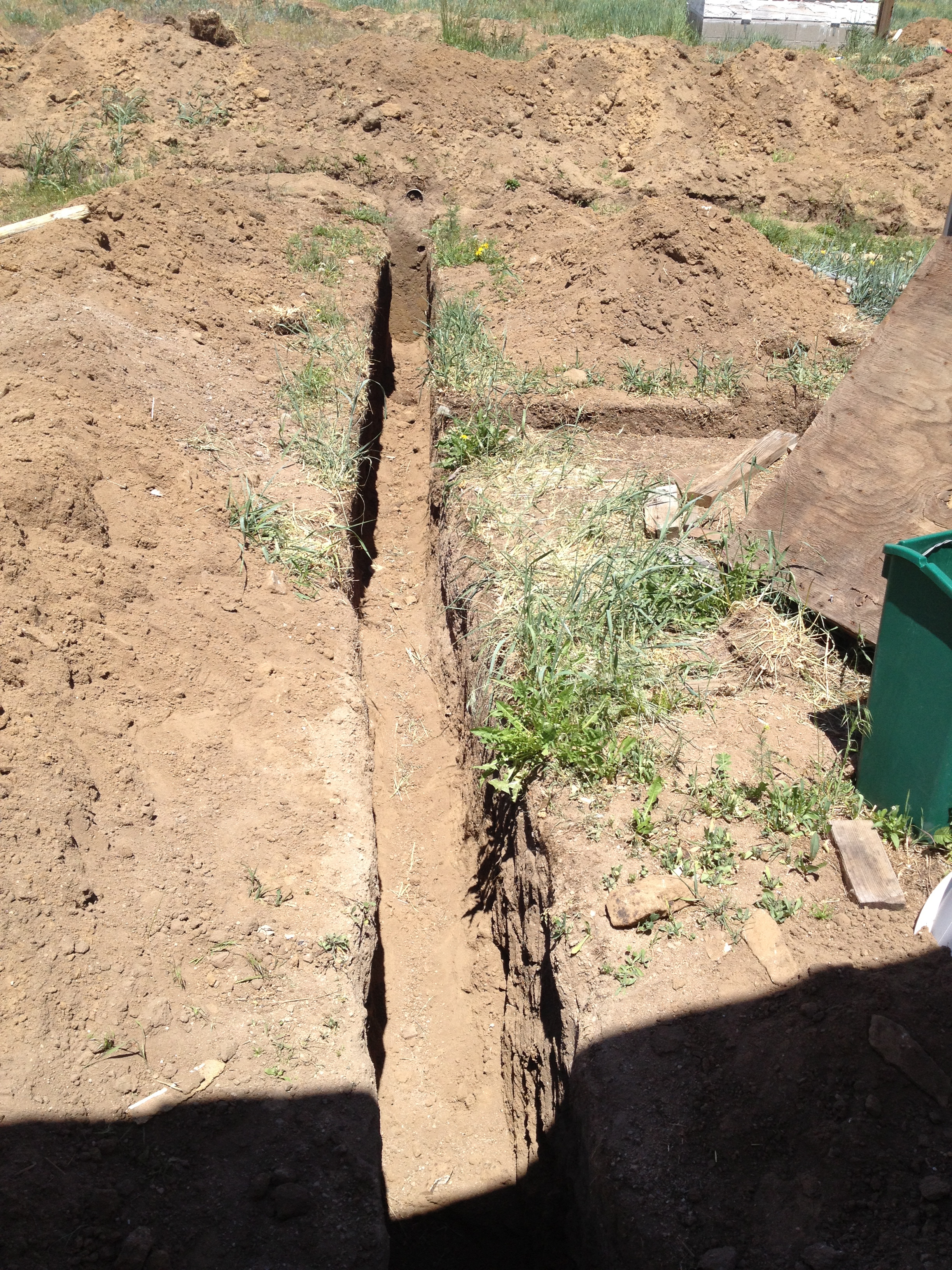
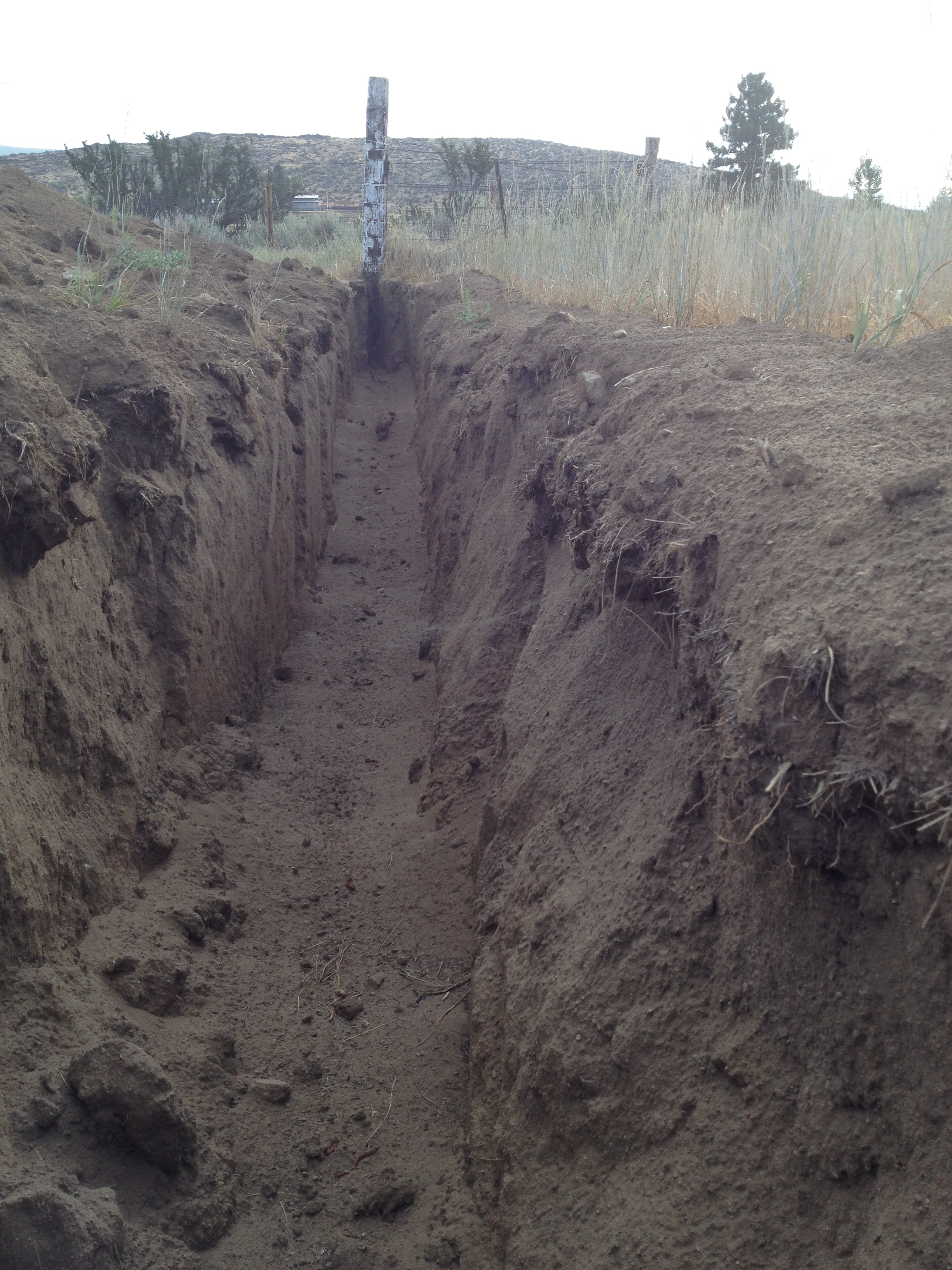
Poured In
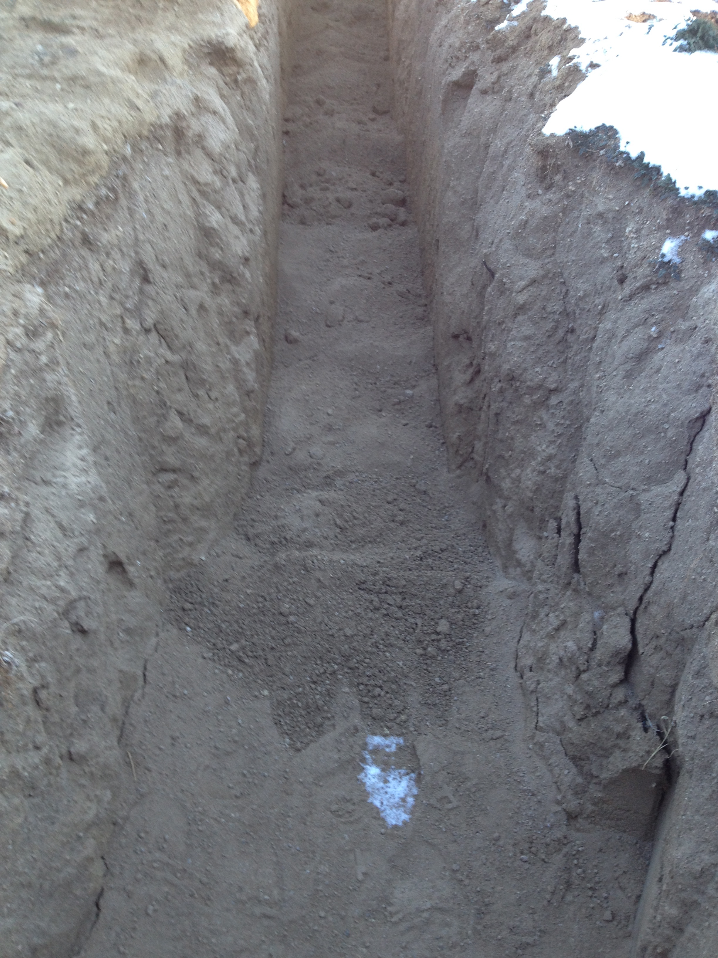
Poured In 1
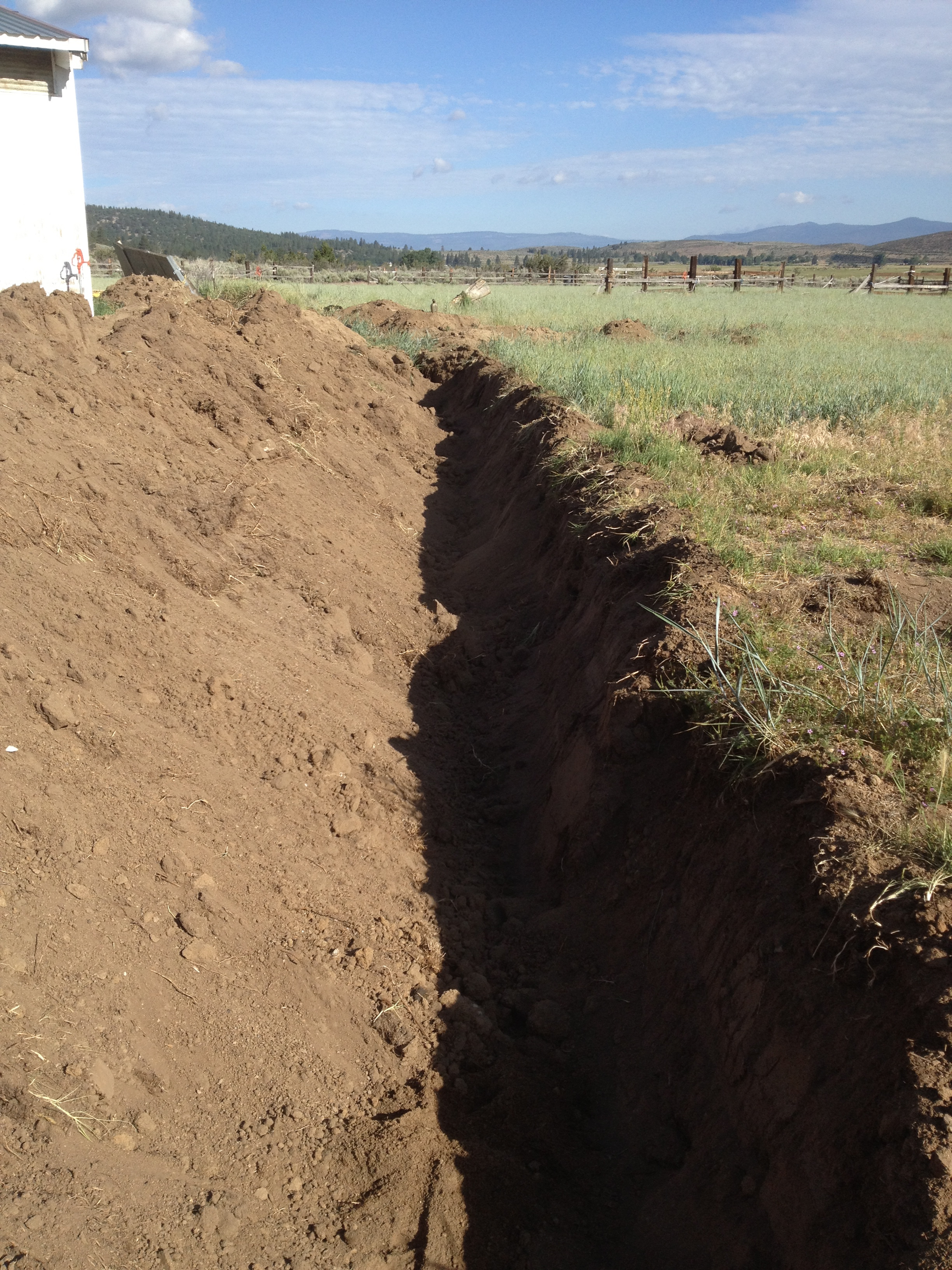
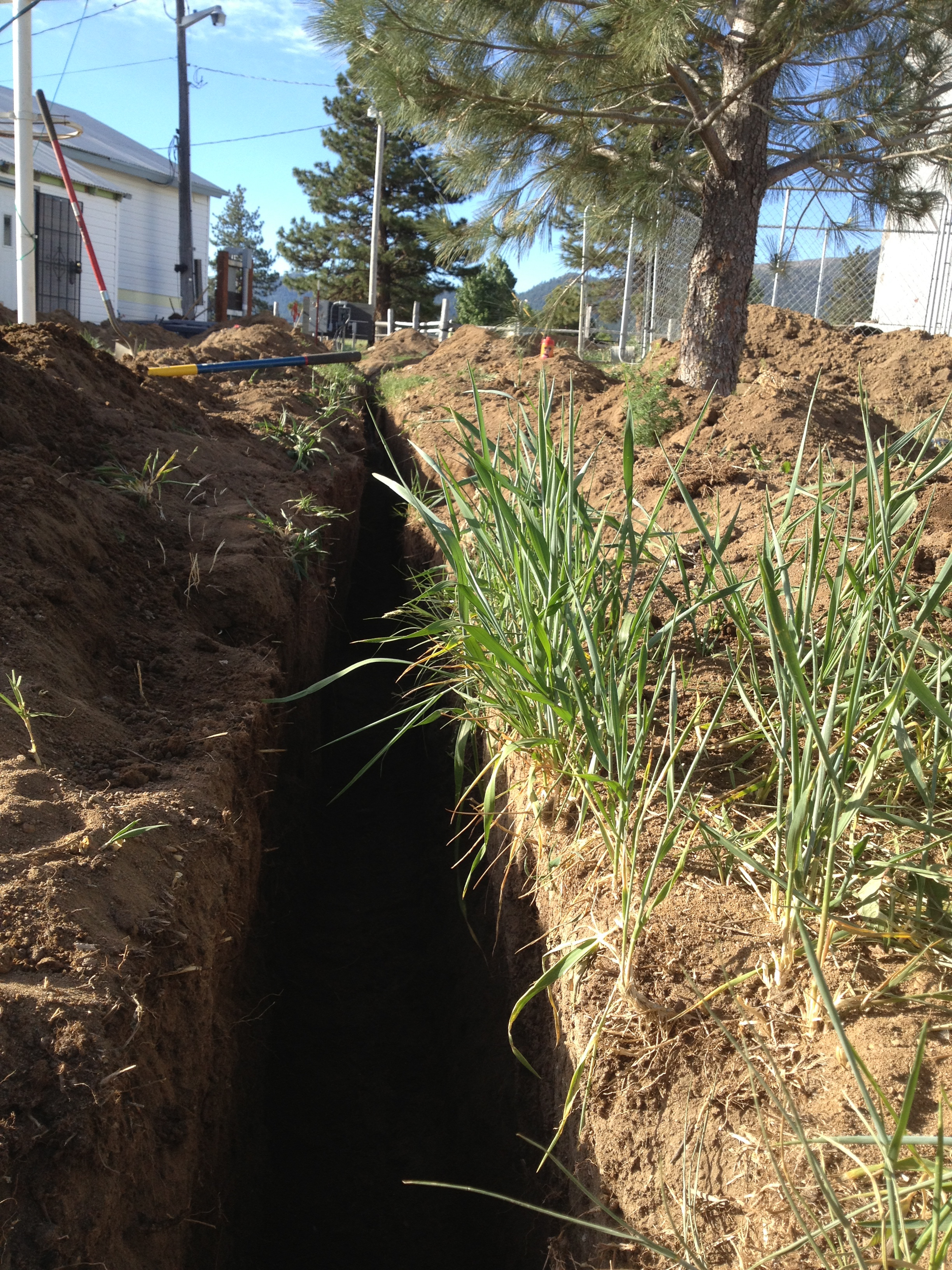
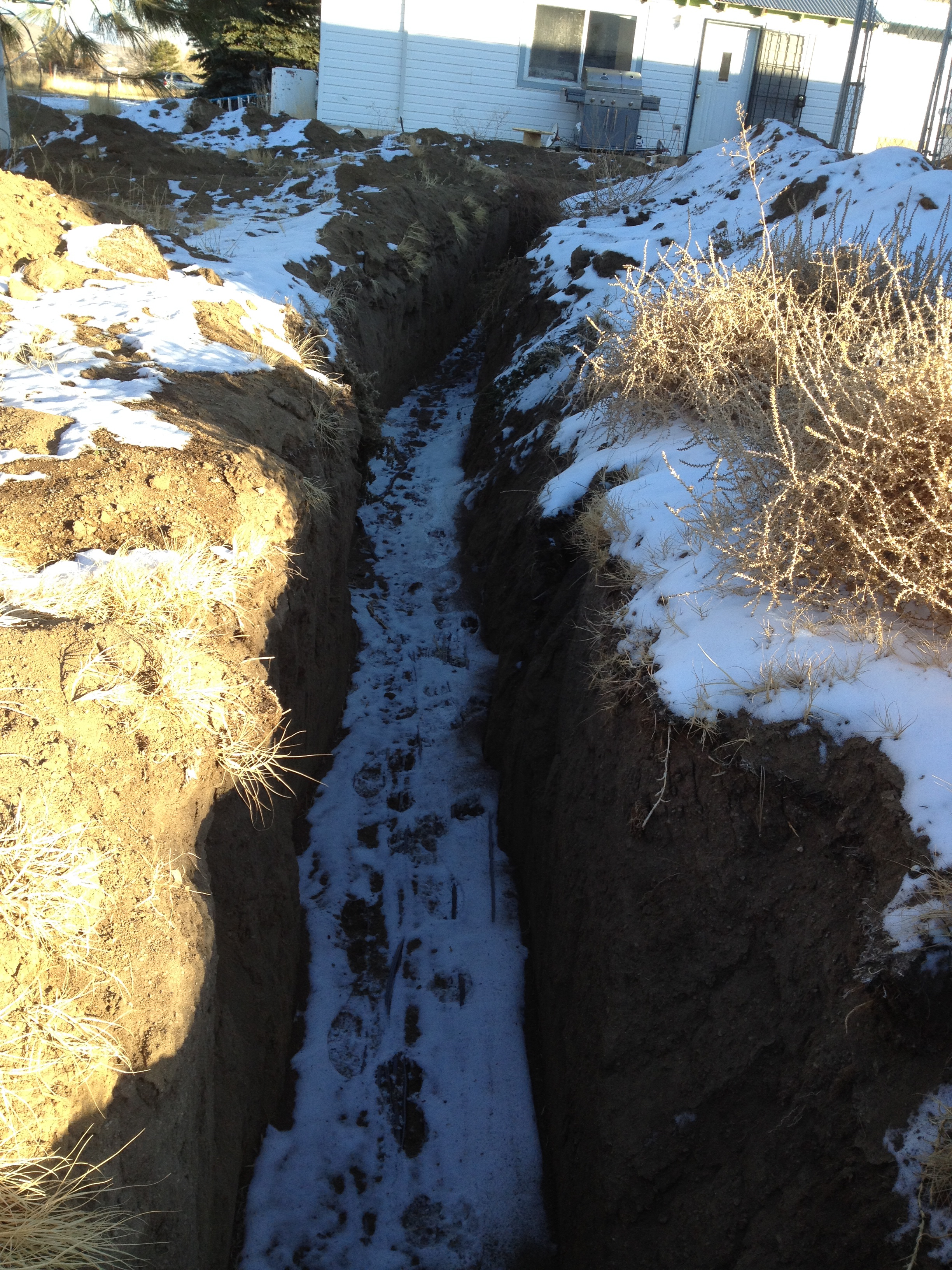
On to the New House Well

Hidden Valley, California

Trees on a Bluff_3178
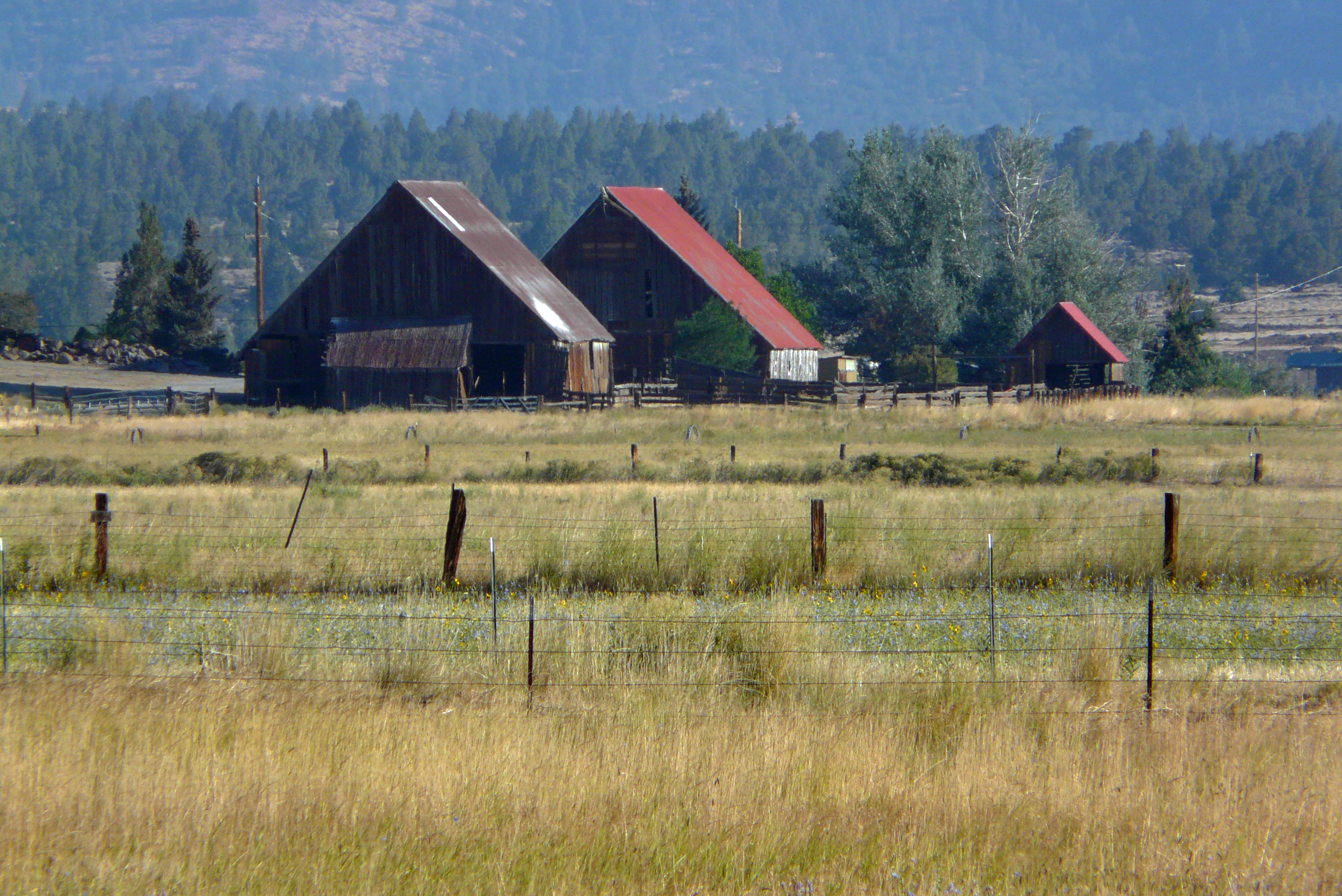
The Barn family
Topographic Map of - Belfast Rd, Litchfield, CA, USA
Find elevation by address:

Places near - Belfast Rd, Litchfield, CA, USA:
718-755
Litchfield
710-205
472-950
705-210 Indale Dr
462-655
460 Lakecrest Rd
Janesville
704-600 Indians Rd
2301 Main St
Susanville
Thompson Peak
699-740 Old Archery Rd
699-500 Oak Mountain Dr
696725 Peak Rd
Wendel
469-660
720-030 Westview Rd
Diamond Mountain
Lassen County
Recent Searches:
- Elevation of Lagasgasan, X+CQH, Tiaong, Quezon, Philippines
- Elevation of Rojo Ct, Atascadero, CA, USA
- Elevation of Flagstaff Drive, Flagstaff Dr, North Carolina, USA
- Elevation of Avery Ln, Lakeland, FL, USA
- Elevation of Woolwine, VA, USA
- Elevation of Lumagwas Diversified Farmers Multi-Purpose Cooperative, Lumagwas, Adtuyon, RV32+MH7, Pangantucan, Bukidnon, Philippines
- Elevation of Homestead Ridge, New Braunfels, TX, USA
- Elevation of Orchard Road, Orchard Rd, Marlborough, NY, USA
- Elevation of 12 Hutchinson Woods Dr, Fletcher, NC, USA
- Elevation of Holloway Ave, San Francisco, CA, USA