Elevation of Jagabor, Rajasthan, India
Location: India > Rajasthan > Dungarpur >
Longitude: 73.4872559
Latitude: 23.7425151
Elevation: 302m / 991feet
Barometric Pressure: 98KPa
Elevation Map:
Satellite Map:
Related Photos:
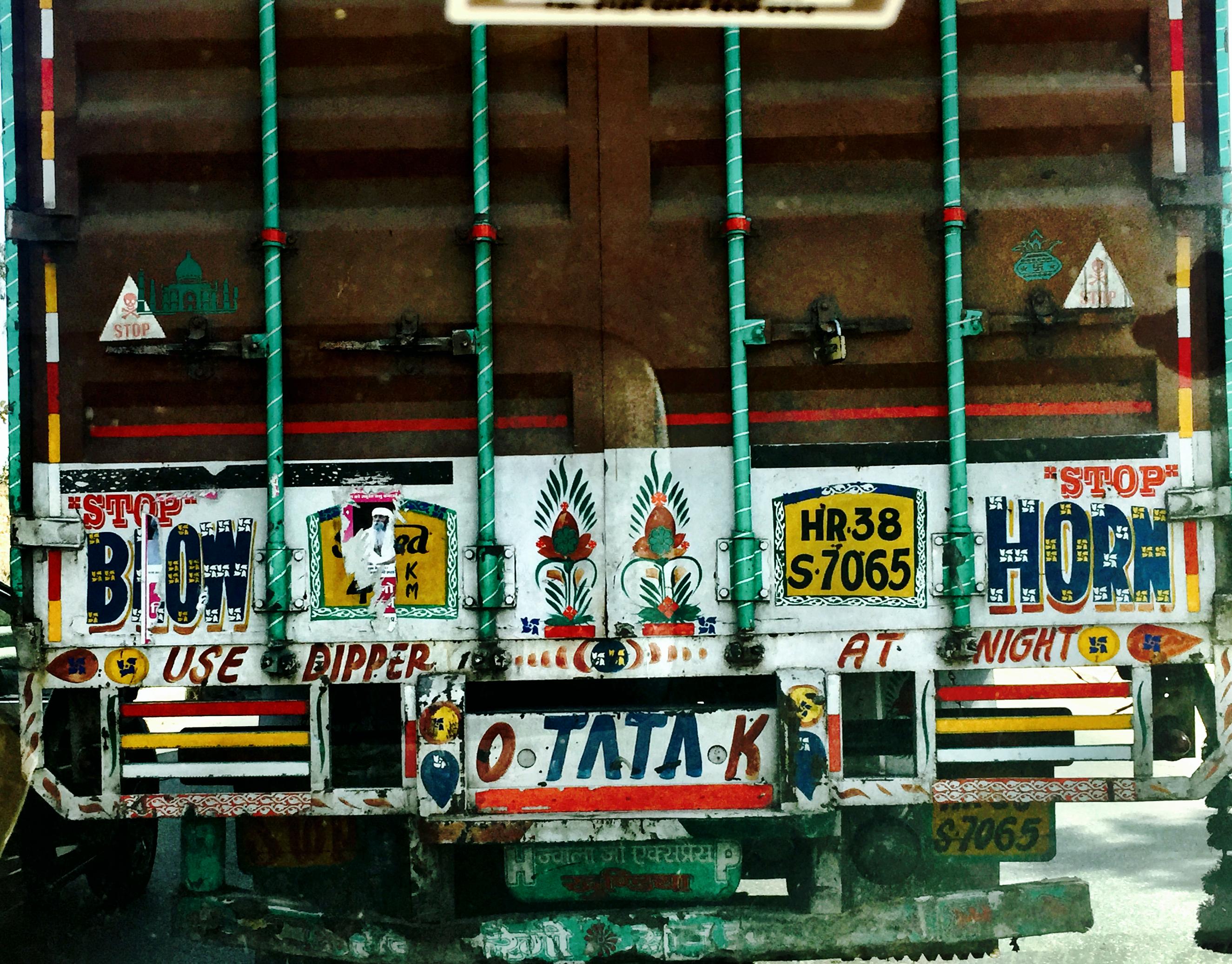
Rajasthan traffic
When feeling low,look up!

The Scorpion king..

Rajasthan Trip 2013
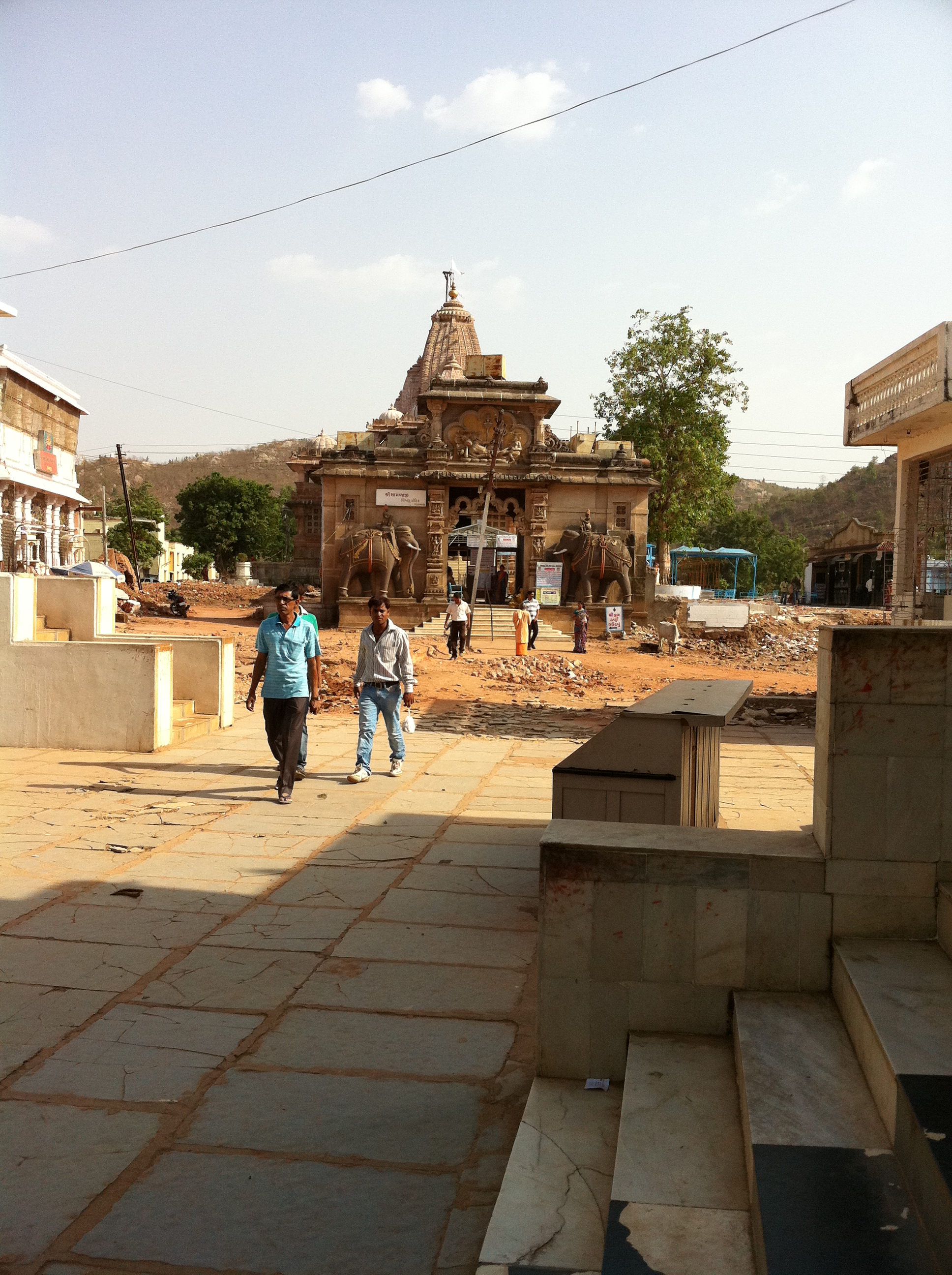
Shamlaji Temple
Topographic Map of Jagabor, Rajasthan, India
Find elevation by address:

Places near Jagabor, Rajasthan, India:
Ratanpur
Bichhiwara
Shamlaji Temple
Samalaji
Bhiloda
Meghraj
Aravalli
Modasa
Shahikot Road
Malpur
Dungarpur
Kadana Dam
Virpur
Vaghadiyani Andhari
Mahisagar
Ukhreli
Batakwada
Santrampur
Banswara
Panchmahal
Recent Searches:
- Elevation of Woodland Oak Pl, Thousand Oaks, CA, USA
- Elevation of Brownsdale Rd, Renfrew, PA, USA
- Elevation of Corcoran Ln, Suffolk, VA, USA
- Elevation of Mamala II, Sariaya, Quezon, Philippines
- Elevation of Sarangdanda, Nepal
- Elevation of 7 Waterfall Way, Tomball, TX, USA
- Elevation of SW 57th Ave, Portland, OR, USA
- Elevation of Crocker Dr, Vacaville, CA, USA
- Elevation of Pu Ngaol Community Meeting Hall, HWHM+3X7, Krong Saen Monourom, Cambodia
- Elevation of Royal Ontario Museum, Queens Park, Toronto, ON M5S 2C6, Canada