Elevation of Ratanpur, Rajasthan, India
Location: India > Rajasthan > Dungarpur >
Longitude: 73.4460123
Latitude: 23.7639828
Elevation: 234m / 768feet
Barometric Pressure: 99KPa
Elevation Map:
Satellite Map:
Related Photos:

2018-10-08_04-26-54
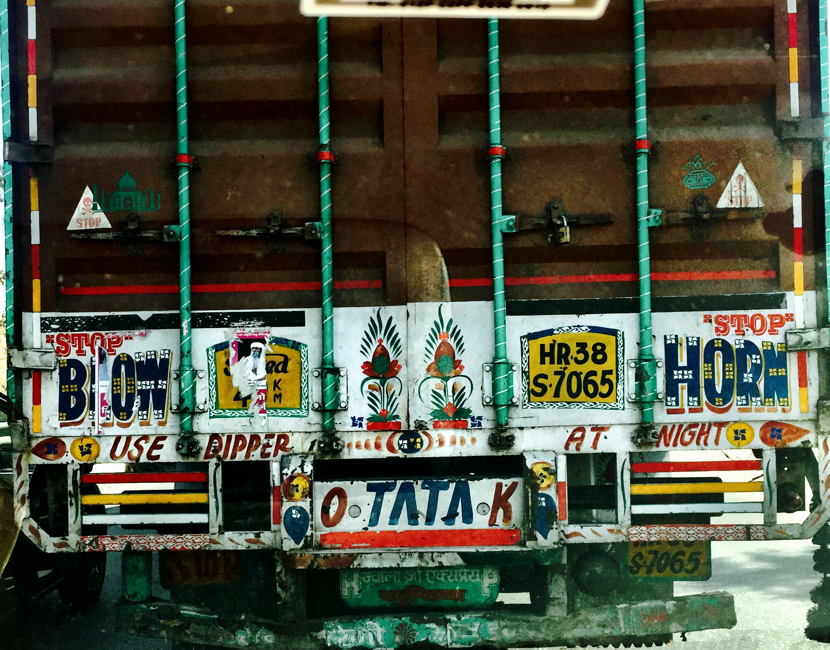
Rajasthan traffic

When feeling low,look up!

Rajasthan Trip 2013

Shamlaji Temple
Topographic Map of Ratanpur, Rajasthan, India
Find elevation by address:

Places near Ratanpur, Rajasthan, India:
Jagabor
Bichhiwara
Shamlaji Temple
Samalaji
Bhiloda
Aravalli
Meghraj
Modasa
Shahikot Road
Malpur
Dungarpur
Virpur
Kadana Dam
Vaghadiyani Andhari
Mahisagar
Ukhreli
Batakwada
Santrampur
Banswara
Panchmahal
Recent Searches:
- Elevation of Unnamed Road, Respublika Severnaya Osetiya — Alaniya, Russia
- Elevation of Verkhny Fiagdon, North Ossetia–Alania Republic, Russia
- Elevation of F. Viola Hiway, San Rafael, Bulacan, Philippines
- Elevation of Herbage Dr, Gulfport, MS, USA
- Elevation of Lilac Cir, Haldimand, ON N3W 2G9, Canada
- Elevation of Harrod Branch Road, Harrod Branch Rd, Kentucky, USA
- Elevation of Wyndham Grand Barbados Sam Lords Castle All Inclusive Resort, End of Belair Road, Long Bay, Bridgetown Barbados
- Elevation of Iga Trl, Maggie Valley, NC, USA
- Elevation of N Co Rd 31D, Loveland, CO, USA
- Elevation of Lindever Ln, Palmetto, FL, USA