Elevation map of Panchmahal, Gujarat, India
Location: India > Gujarat >
Longitude: 73.5594128
Latitude: 22.8011177
Elevation: 107m / 351feet
Barometric Pressure: 100KPa
Elevation Map:
Satellite Map:
Related Photos:

Karon Shaiva
Godhra city

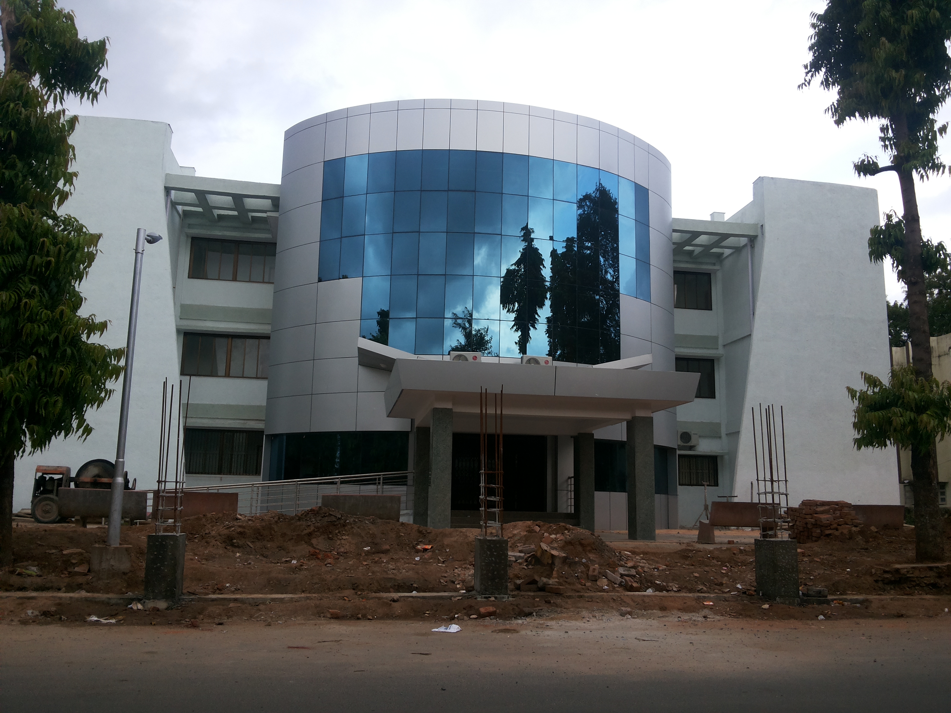
Godhra city
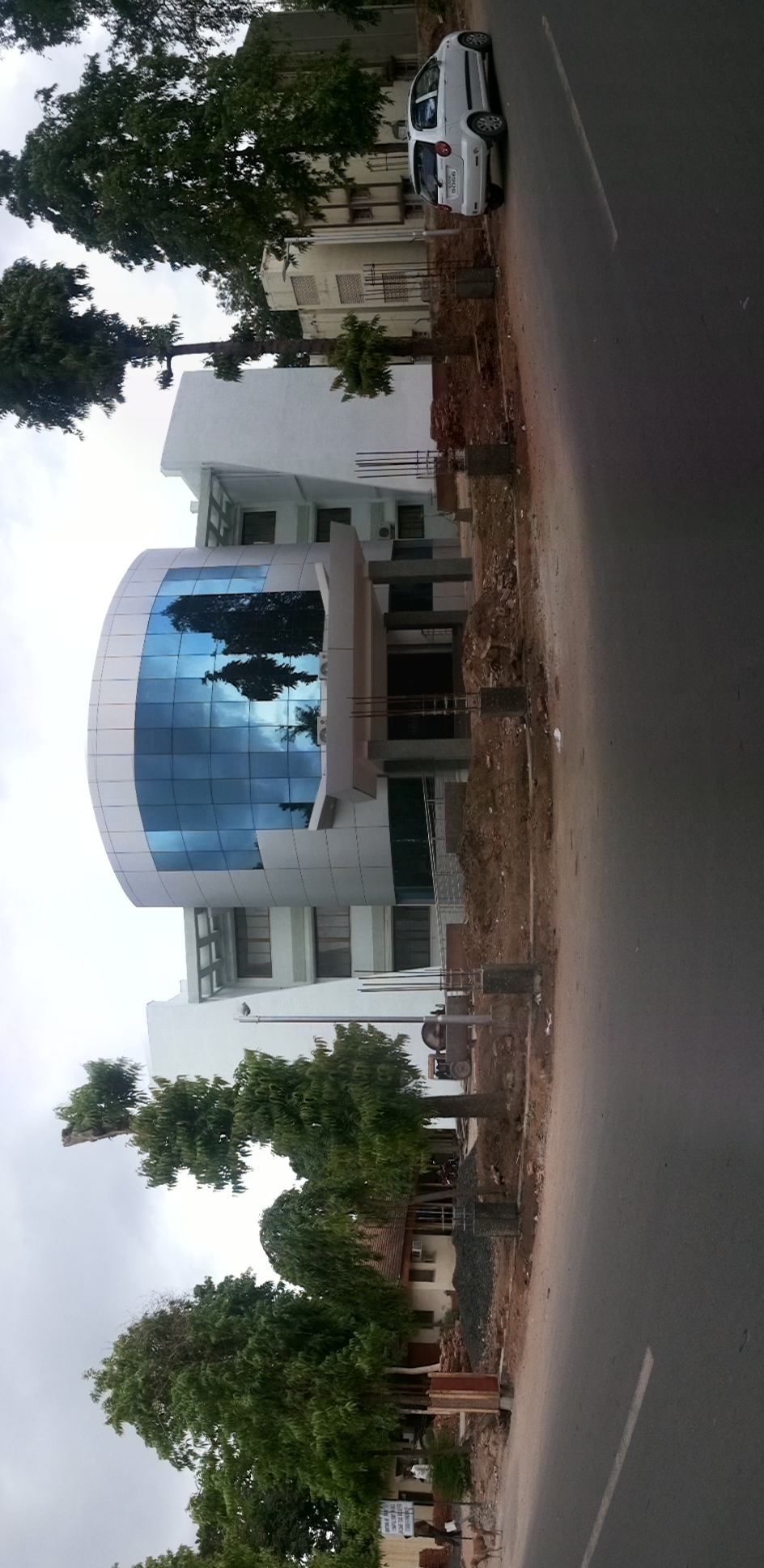
Godhra city
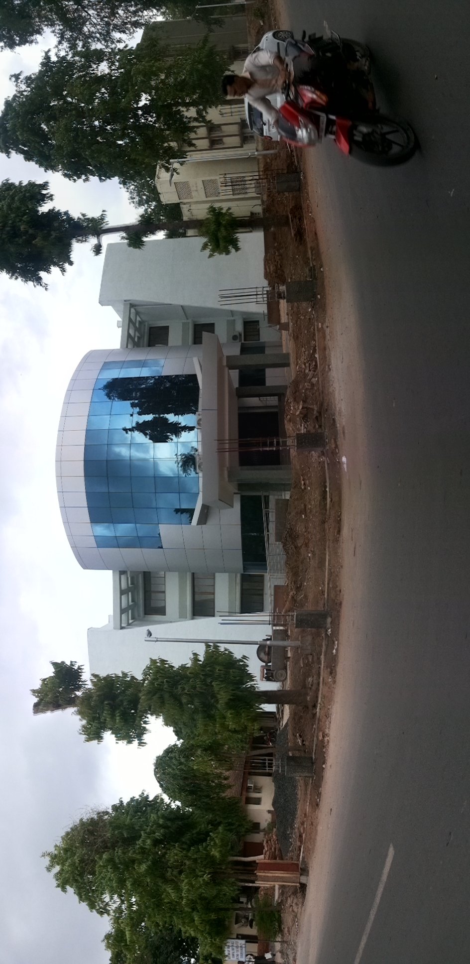
Godhra city
Topographic Map of Panchmahal, Gujarat, India
Find elevation by address:

Places in Panchmahal, Gujarat, India:
Places near Panchmahal, Gujarat, India:
Godhra
Ghoghamba
Mahisagar
Virpur
01, Bus Station Rd, Savli, Gujarat, India
Savli
Limkheda
Santrampur
Dahod
Malpur
Kadana Dam
Vaghadiyani Andhari
Ukhreli
Batakwada
Dahod
Meghraj
Modasa
Shahikot Road
Aravalli
Garbada
Recent Searches:
- Elevation of Elwyn Dr, Roanoke Rapids, NC, USA
- Elevation of Congressional Dr, Stevensville, MD, USA
- Elevation of Bellview Rd, McLean, VA, USA
- Elevation of Stage Island Rd, Chatham, MA, USA
- Elevation of Shibuya Scramble Crossing, 21 Udagawacho, Shibuya City, Tokyo -, Japan
- Elevation of Jadagoniai, Kaunas District Municipality, Lithuania
- Elevation of Pagonija rock, Kranto 7-oji g. 8"N, Kaunas, Lithuania
- Elevation of Co Rd 87, Jamestown, CO, USA
- Elevation of Tenjo, Cundinamarca, Colombia
- Elevation of Côte-des-Neiges, Montreal, QC H4A 3J6, Canada