Elevation of Jacksonville Rd, Buchanan, GA, USA
Location: United States > Georgia > Buchanan >
Longitude: -85.236207
Latitude: 33.8067651
Elevation: 356m / 1168feet
Barometric Pressure: 97KPa
Elevation Map:
Satellite Map:
Related Photos:

Georgia, Tallapoosa, Mitnick Chevrolet
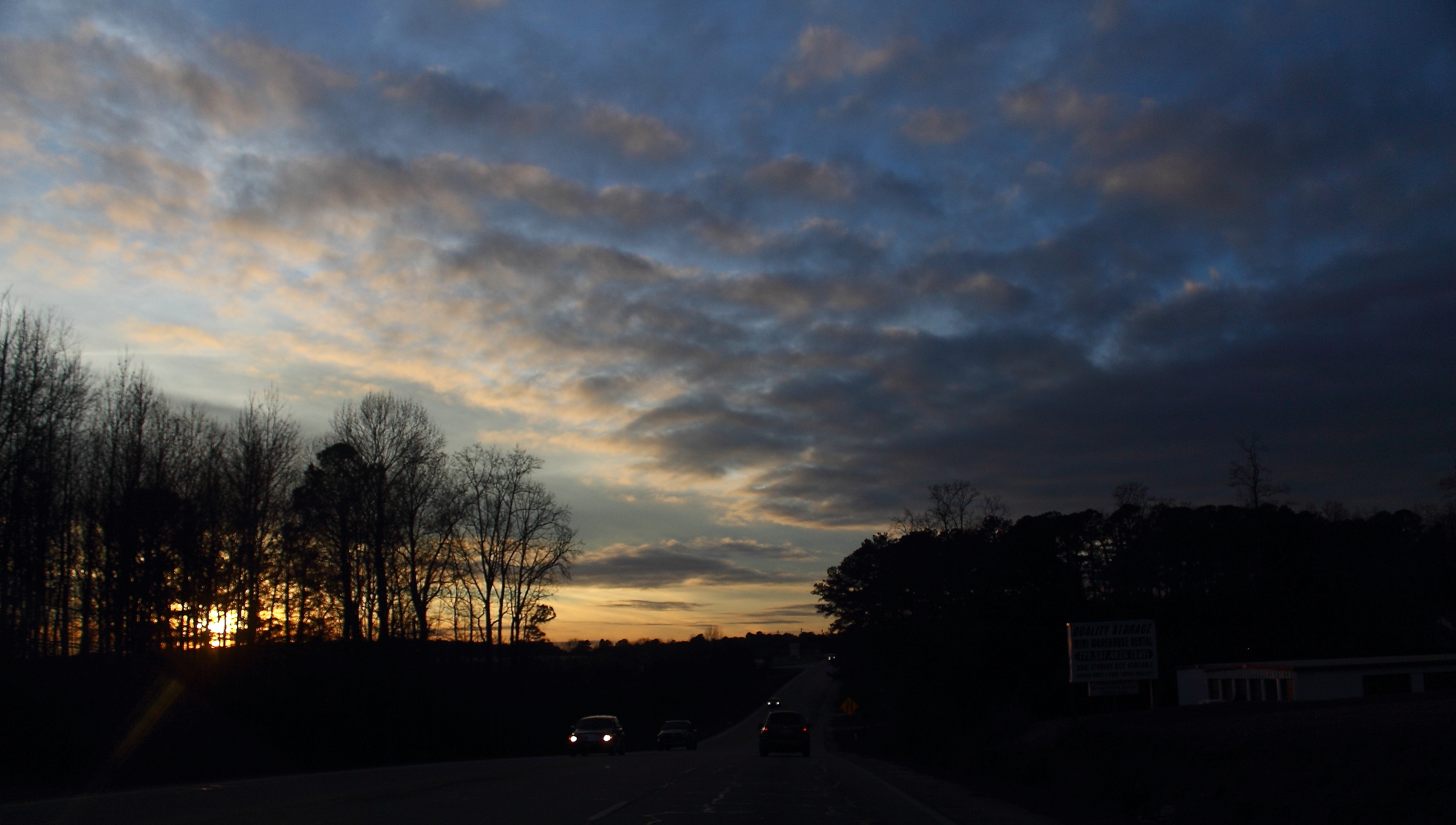
Highway Sunset
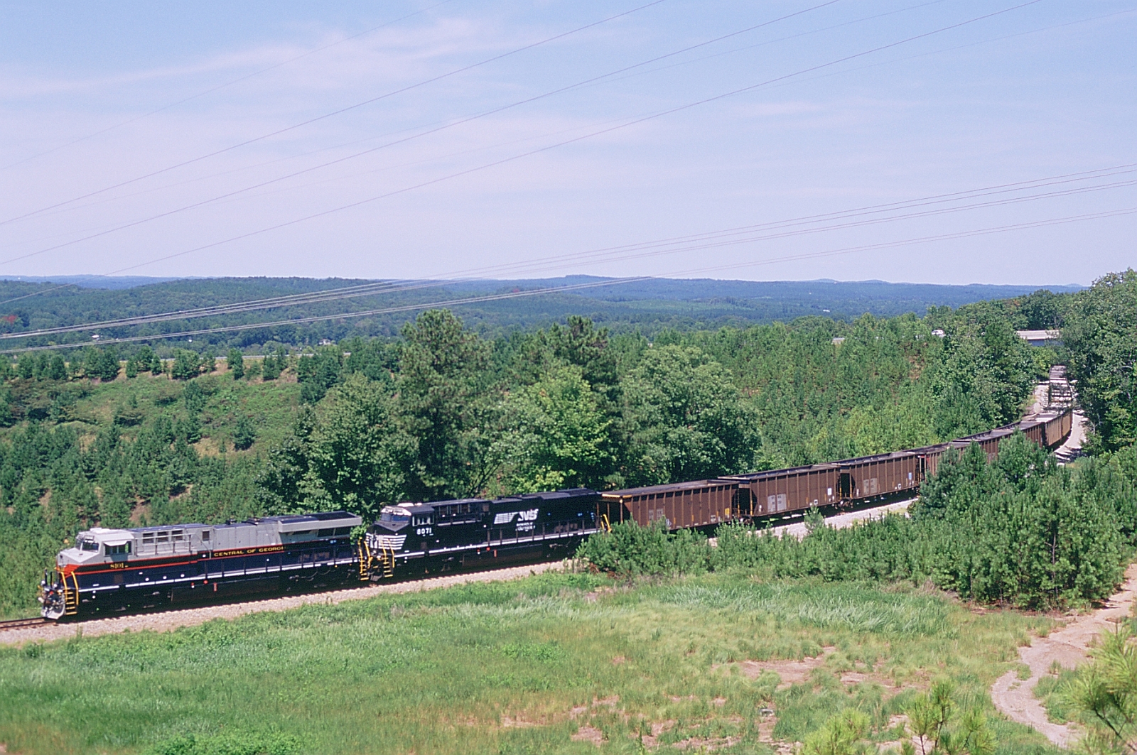
703 Northbound

Walled-Off Spring

Rural View, Polk County, GA

9th Hole

Spring and Creek, Youngs, Georgia

Pecan Tree, Polk County, GA

Landscape, Polk County, GA

Stitched Panorama of Polk County Farmland

Tallapoosa River-20090523_135344.jpg

Tallapoosa River-20090523_150910.jpg
Topographic Map of Jacksonville Rd, Buchanan, GA, USA
Find elevation by address:

Places near Jacksonville Rd, Buchanan, GA, USA:
5 W Head Ave
Haralson County
Buchanan
GA-, Tallapoosa, GA, USA
Garner Rd, Buchanan, GA, USA
2661 Jacksonville Rd
1960 Bethlehem Church Rd
1027 5 Points Rd
1443 Riddlespurgen Rd
155 Bill Ploof Rd
251 Wray Mine Rd
631 Hamrick Rd
2201 Treat Mountain Rd
47 Wooten Rd
209 Tate Rd
Buchanan Hwy, Cedartown, GA, USA
3376 Morgan Valley Rd
2022 Piedmont Hwy
85 Tolbert Rd
Cedar Hill Senior Living Community
Recent Searches:
- Elevation of Leguwa, Nepal
- Elevation of County Rd, Enterprise, AL, USA
- Elevation of Kolchuginsky District, Vladimir Oblast, Russia
- Elevation of Shustino, Vladimir Oblast, Russia
- Elevation of Lampiasi St, Sarasota, FL, USA
- Elevation of Elwyn Dr, Roanoke Rapids, NC, USA
- Elevation of Congressional Dr, Stevensville, MD, USA
- Elevation of Bellview Rd, McLean, VA, USA
- Elevation of Stage Island Rd, Chatham, MA, USA
- Elevation of Shibuya Scramble Crossing, 21 Udagawacho, Shibuya City, Tokyo -, Japan