Elevation of Jackson Cabin Rd, Kingston Springs, TN, USA
Location: United States > Tennessee > Cheatham County > Kingston Springs >
Longitude: -87.148397
Latitude: 36.063281
Elevation: -10000m / -32808feet
Barometric Pressure: 295KPa
Elevation Map:
Satellite Map:
Related Photos:

Montgomery Bell Tunnel, Narrows of the Harpeth

Pond view from a new running trail.

A view outside from the guy stuck inside. This is the 'lake' right outside my office window.

Anothere view of Caerlaverock Castle - as JMW Turner might have painted it. @tintedsteam @MrTurnerFilm @historicscotland @welovehistory @visitscotland @GreatBritain @TwitterUK The Instagram really doesn’t doesn’t do it justice… #Medieval #medievaleuro

Anothere view of Caerlaverock Castle - as JMW Turner might have painted it. @tintedsteam @MrTurnerFilm @historicscotland @welovehistory @visitscotland @GreatBritain @TwitterUK The Instagram really doesn’t doesn’t do it justice… #Medieval #medievaleuro

Narrows of the Harpeth Overlook

Extreme Closeup view of Montgomery Bell Tunnel

Alternate view of Montgomery Bell Tunnel

Alternate view of Montgomery Bell Tunnel

Clear View of Montgomery Bell's Gravesite

View from Mace Bluff

River View

Good Morning

end of my day
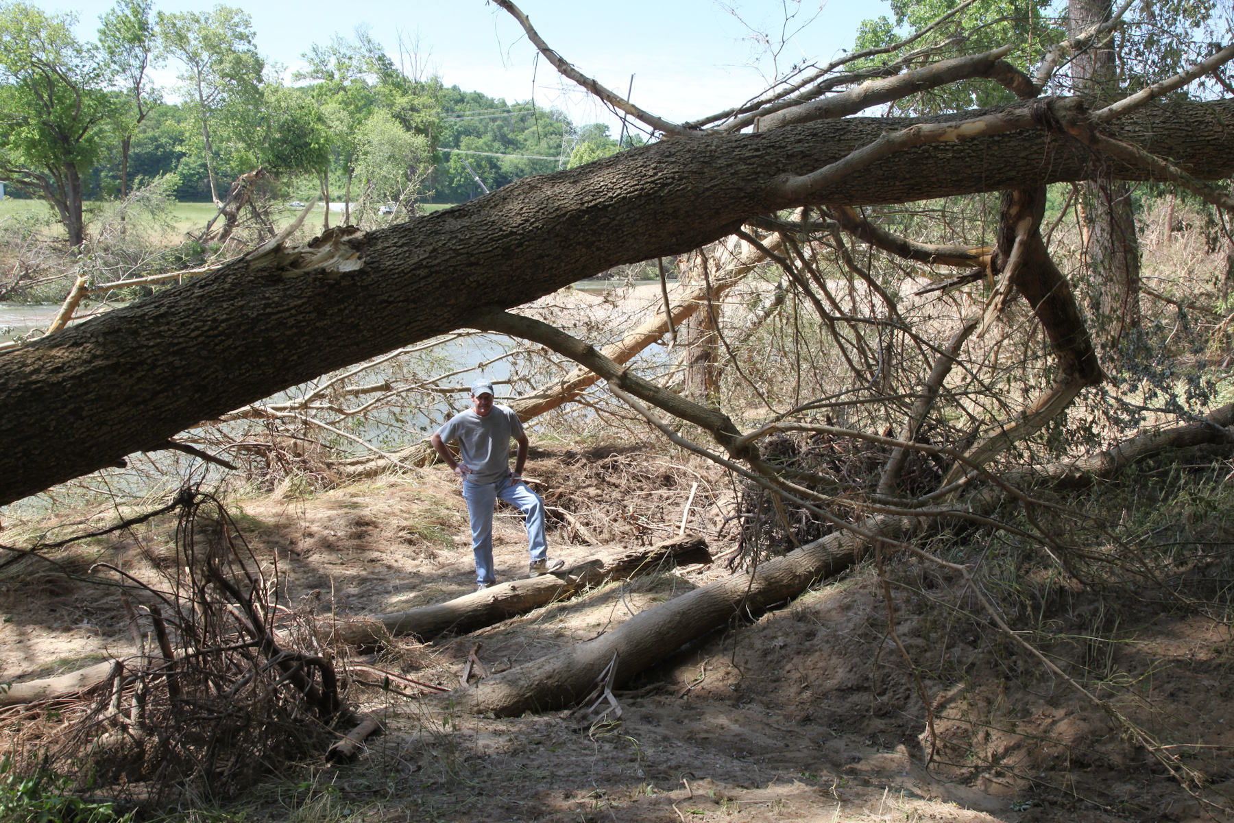
Viewing the Damage

Mound Bottom viewed from Mace Bluff

Apartment View from Side of House

Bell Cemetery - 1

Apartment View from Back of House

Master Bedroom Backyard View

The view ahead

Slowly, Spring Comes.

Calm Water Under The Bridge

Montgomery Bell State Park
Sunshine on the water

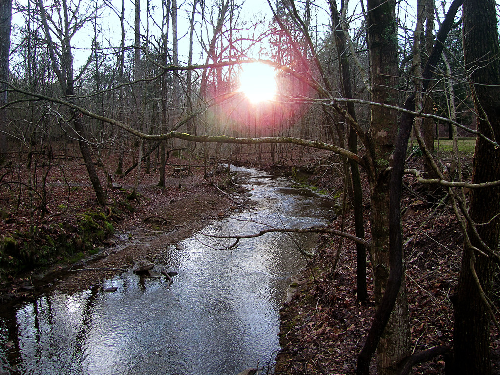
Leatherwood Creek

Montgomery Bell State Park

Montgomery Bell State Park

Descending Order

Cold Dust

Amber waves.

Stairway to heaven
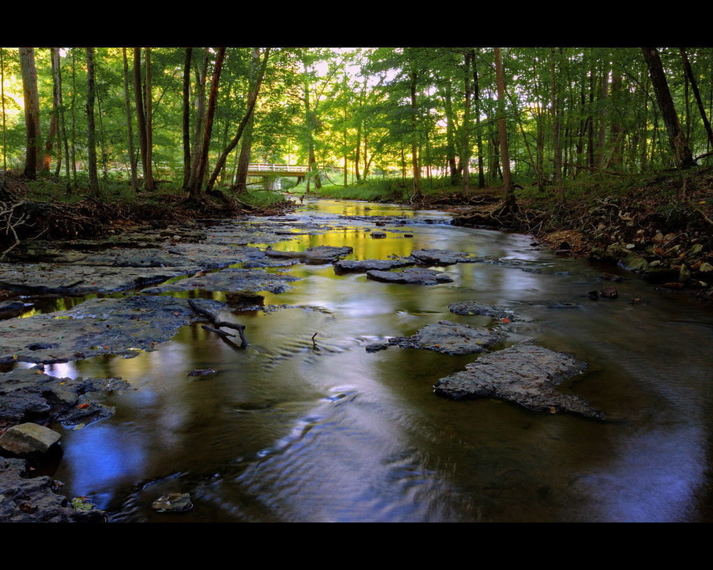
Beautiful creek

Harpeth River State Park - Gossett Tract State Natural Area

Inlayd Stone

Cedar Hill Road

Sites along the Natchez Trace to Nashville,Tn - 142

Sites along the Natchez Trace to Nashville,Tn - 045

US 70

Top of the hill barn

Sites along the Natchez Trace to Nashville,Tn - 099

Quiet afternoon.
Topographic Map of Jackson Cabin Rd, Kingston Springs, TN, USA
Find elevation by address:

Places near Jackson Cabin Rd, Kingston Springs, TN, USA:
1326 Loann Ave
577 Mt Pleasant Rd
Kingston Springs
1964 Street Rd
Buffalo Gap
1054 Thornblade Dr
1064 Street Rd
1110 Dog Creek Rd
1116 Dog Creek Rd
Pegram
Cheatham County
4495 Sears Rd
8739 Old Charlotte Pike
Indian Springs Road
1754 Sams Creek Rd
Bellevue, TN, USA
Bellevue
1075 Garland Hollow Rd
1029 Garland Hollow Rd
5018 Chaffin Dr
Recent Searches:
- Elevation of Congressional Dr, Stevensville, MD, USA
- Elevation of Bellview Rd, McLean, VA, USA
- Elevation of Stage Island Rd, Chatham, MA, USA
- Elevation of Shibuya Scramble Crossing, 21 Udagawacho, Shibuya City, Tokyo -, Japan
- Elevation of Jadagoniai, Kaunas District Municipality, Lithuania
- Elevation of Pagonija rock, Kranto 7-oji g. 8"N, Kaunas, Lithuania
- Elevation of Co Rd 87, Jamestown, CO, USA
- Elevation of Tenjo, Cundinamarca, Colombia
- Elevation of Côte-des-Neiges, Montreal, QC H4A 3J6, Canada
- Elevation of Bobcat Dr, Helena, MT, USA