Elevation of Loann Ave, Kingston Springs, TN, USA
Location: United States > Tennessee > Cheatham County > Kingston Springs >
Longitude: -87.138763
Latitude: 36.084462
Elevation: 212m / 696feet
Barometric Pressure: 99KPa
Elevation Map:
Satellite Map:
Related Photos:
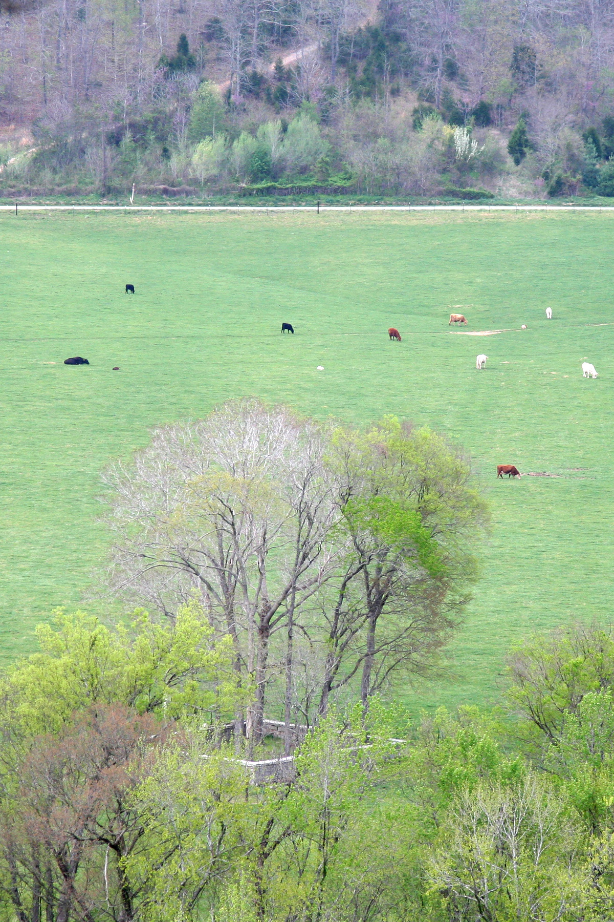
Bell Cemetery - 1

Good Morning

Anothere view of Caerlaverock Castle - as JMW Turner might have painted it. @tintedsteam @MrTurnerFilm @historicscotland @welovehistory @visitscotland @GreatBritain @TwitterUK The Instagram really doesn’t doesn’t do it justice… #Medieval #medievaleuro

Anothere view of Caerlaverock Castle - as JMW Turner might have painted it. @tintedsteam @MrTurnerFilm @historicscotland @welovehistory @visitscotland @GreatBritain @TwitterUK The Instagram really doesn’t doesn’t do it justice… #Medieval #medievaleuro

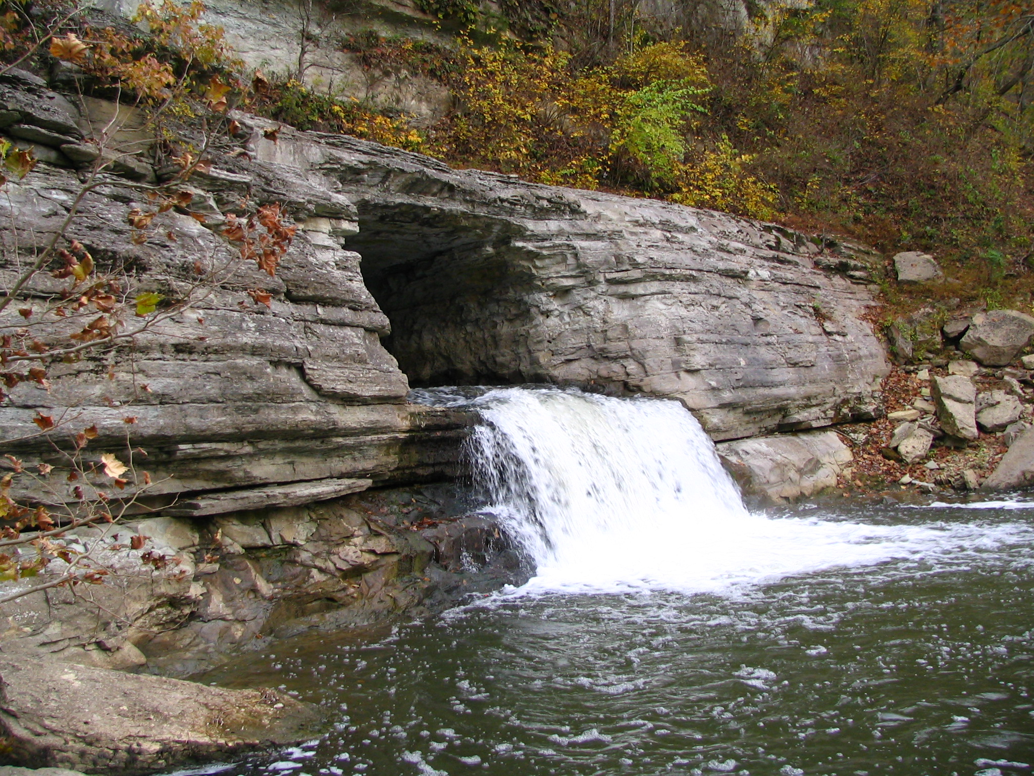
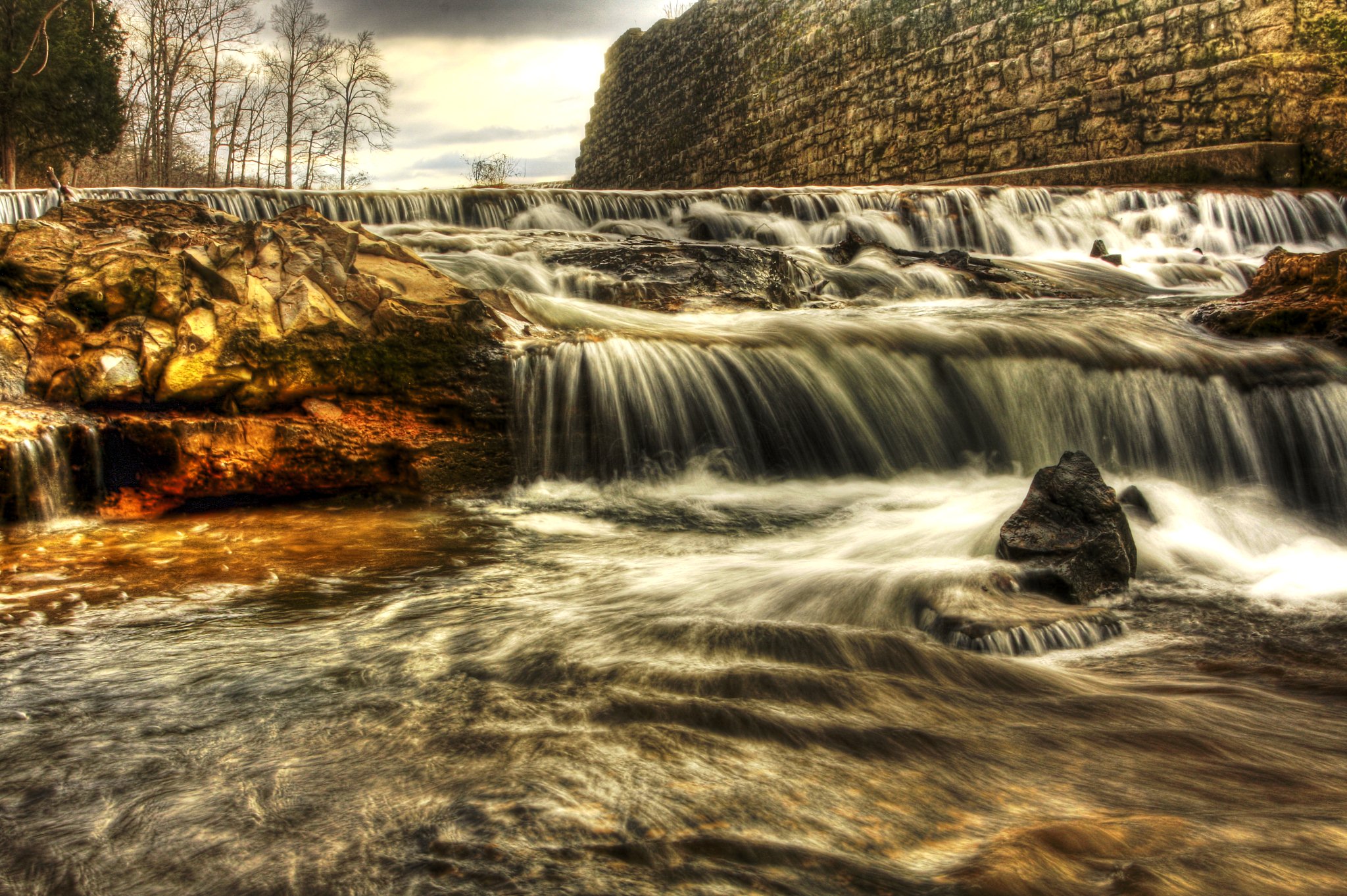
Montgomery Bell Tunnel, Narrows of the Harpeth
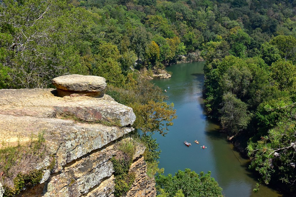
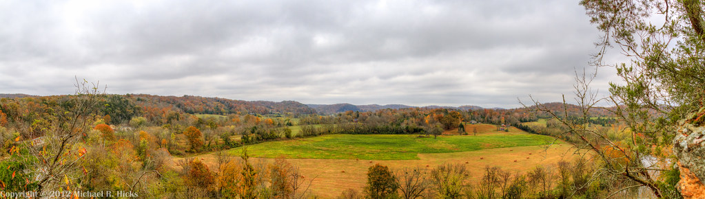
Narrows of the Harpeth Overlook
Alternate view of Montgomery Bell Tunnel
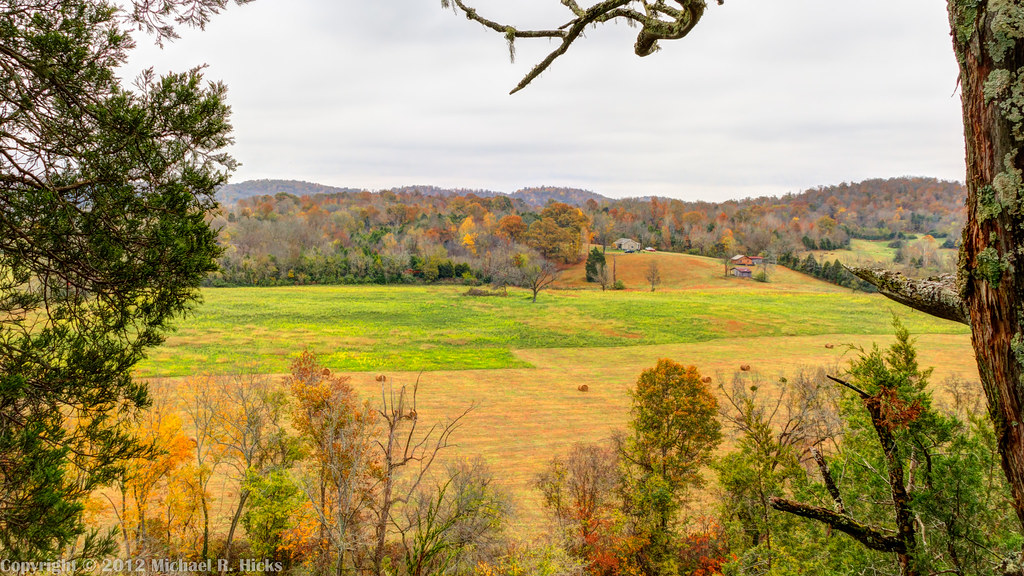
Bluff Overlook
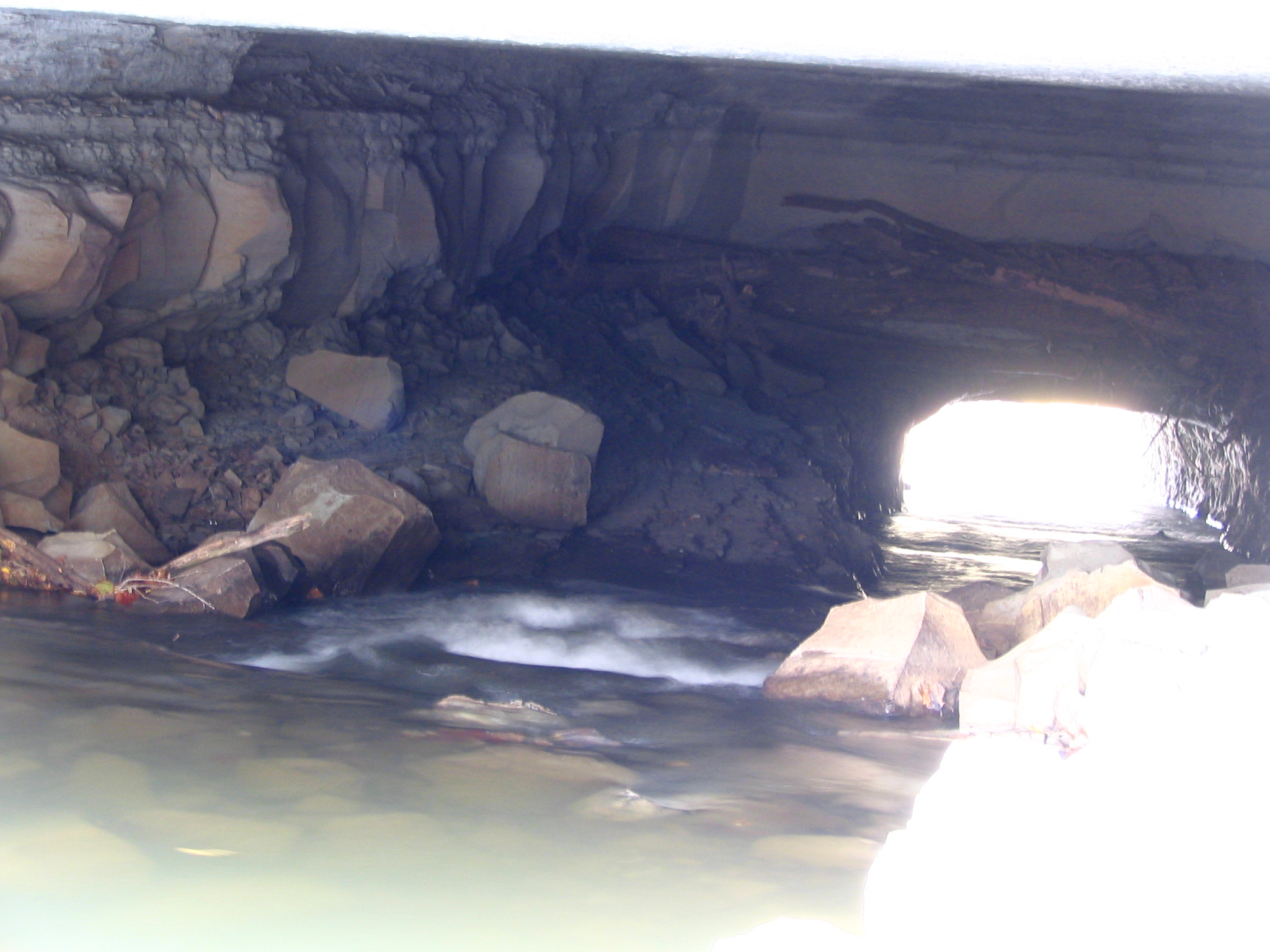
Alternate view of Montgomery Bell Tunnel
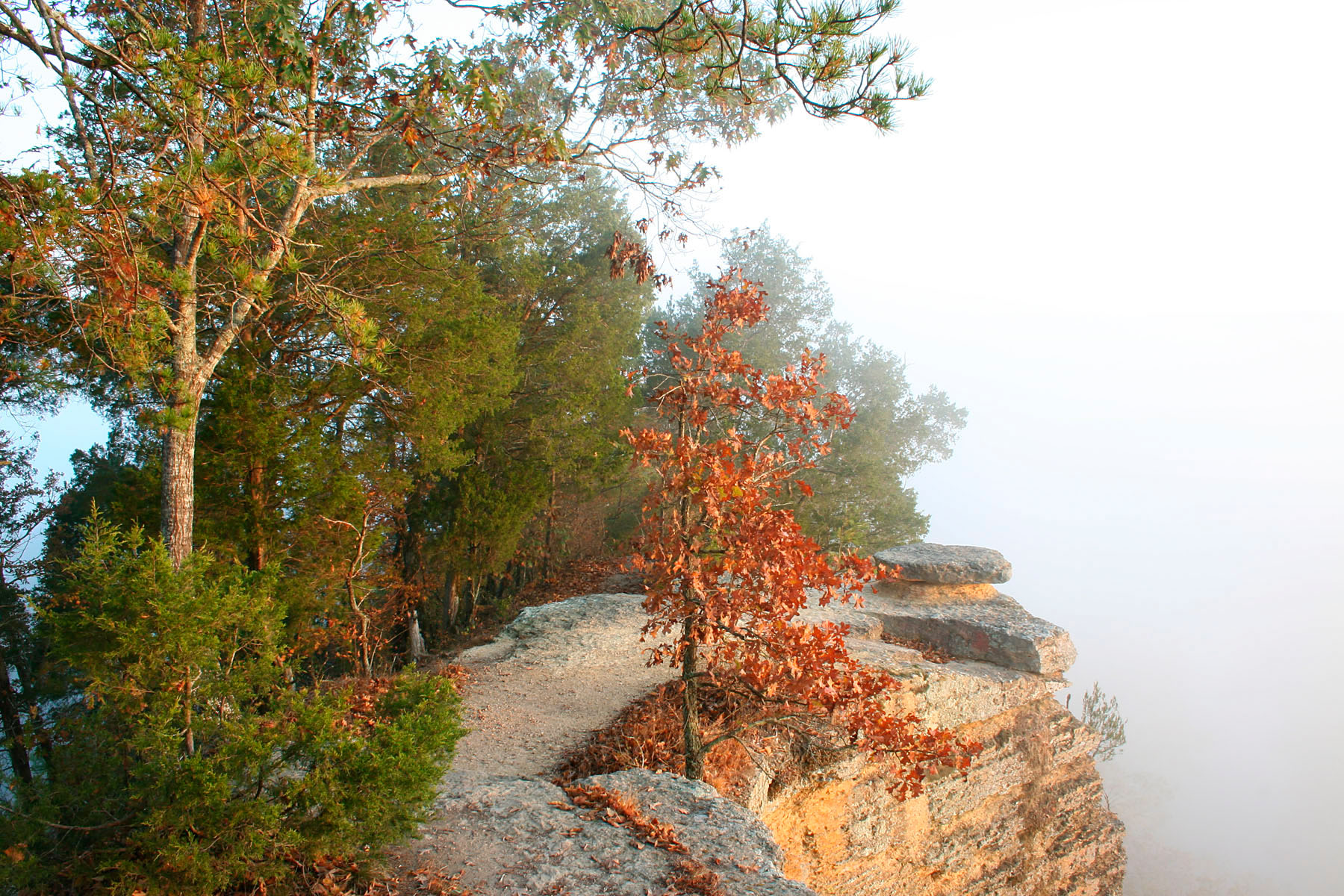
Bluff Overlook
Alternate view of Montgomery Bell Tunnel
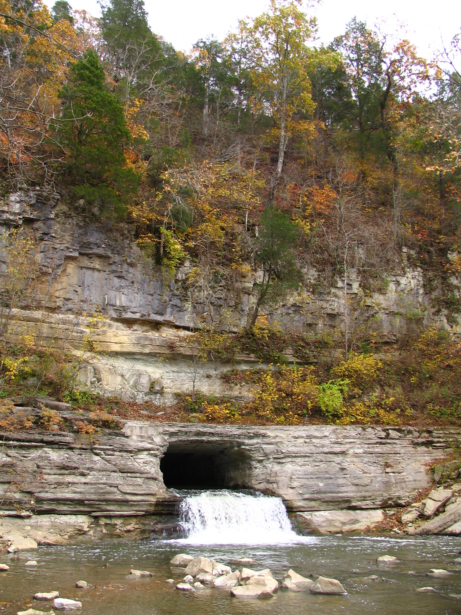
Alternate view of Montgomery Bell Tunnel
Clear View of Montgomery Bell's Gravesite
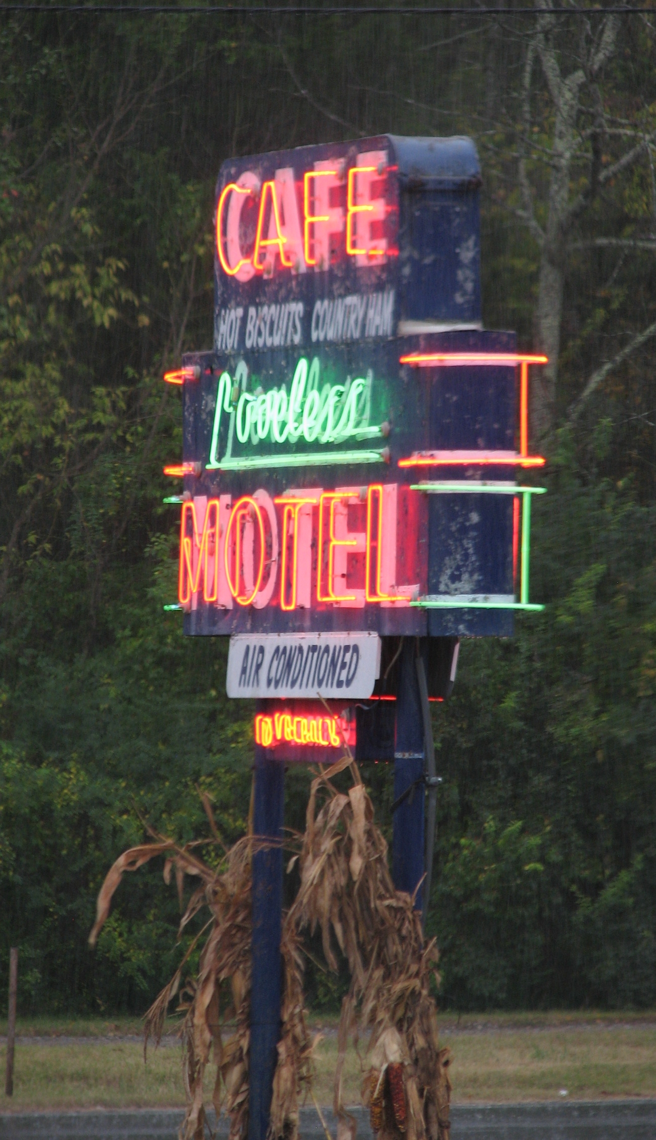
Loveless Cafe Neon in the Rain
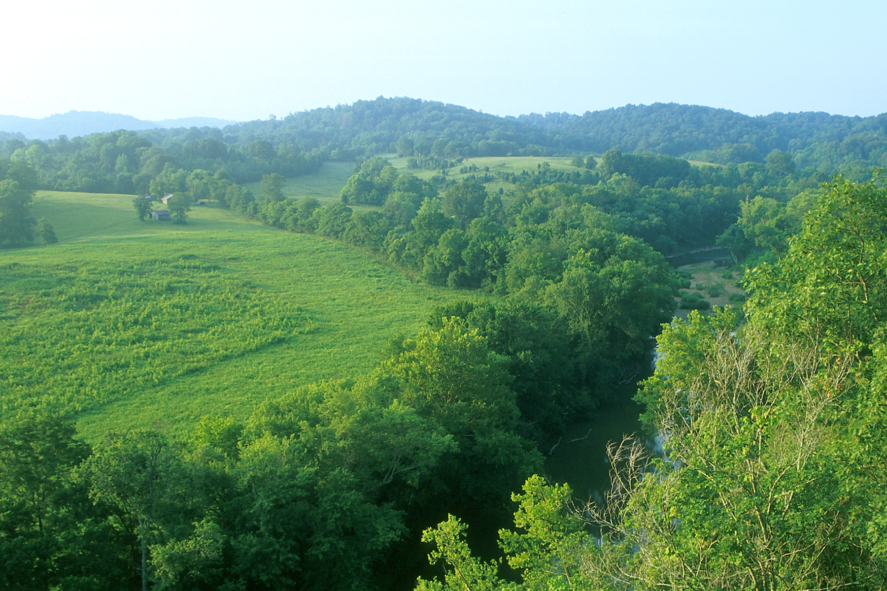
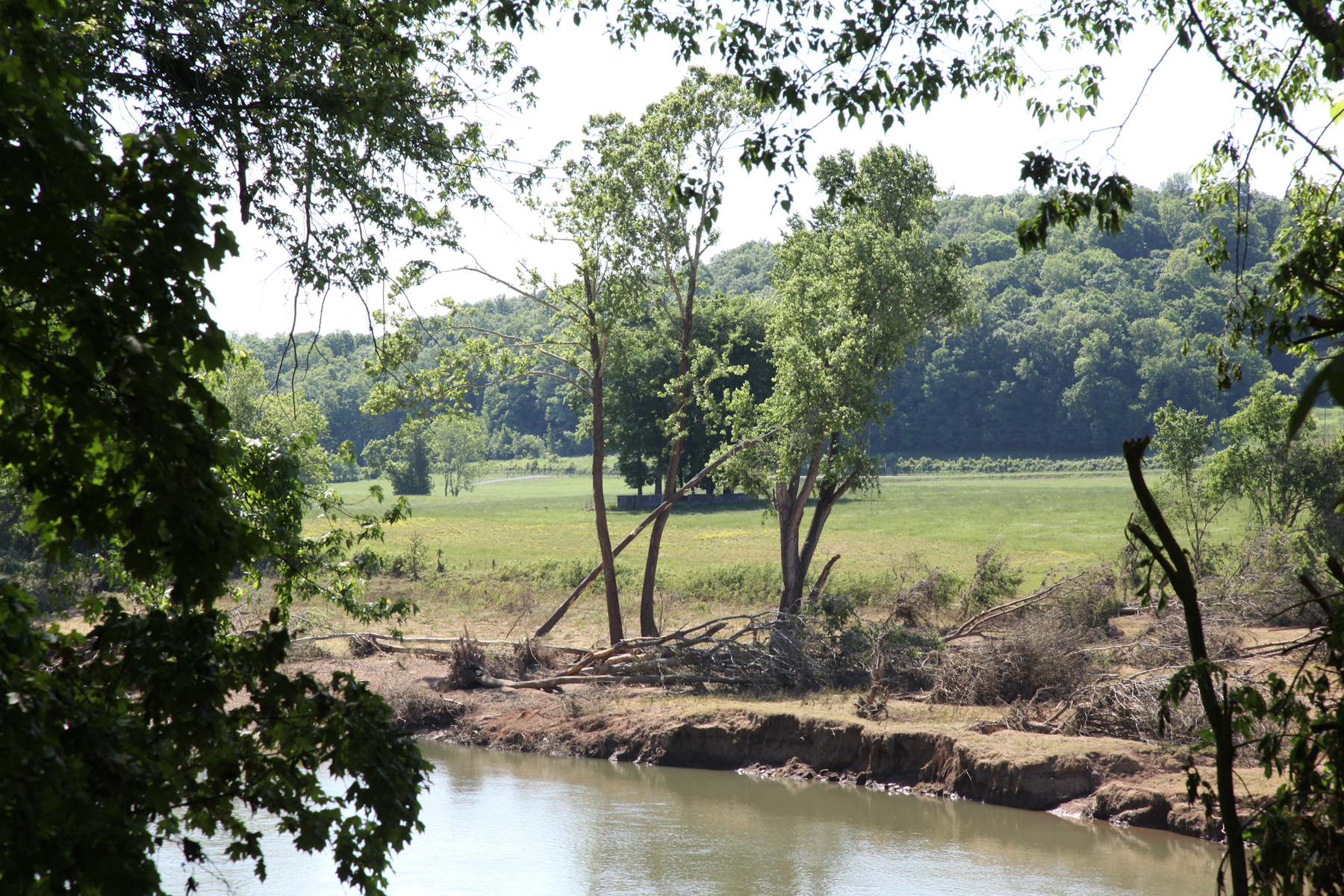
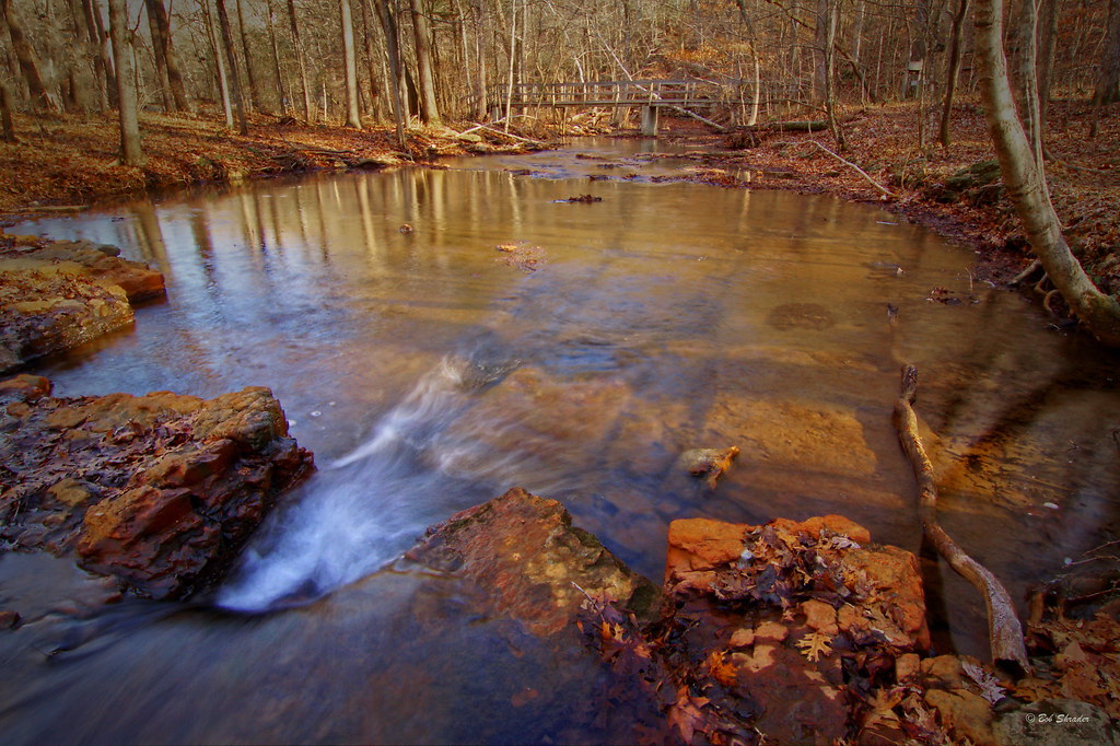
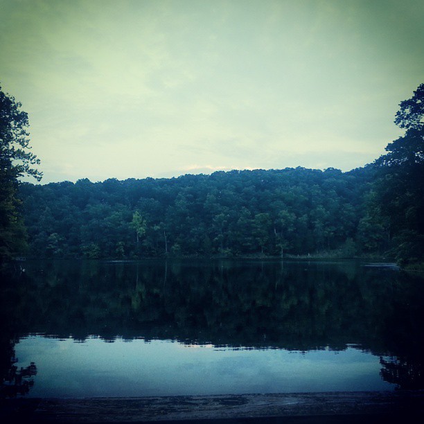
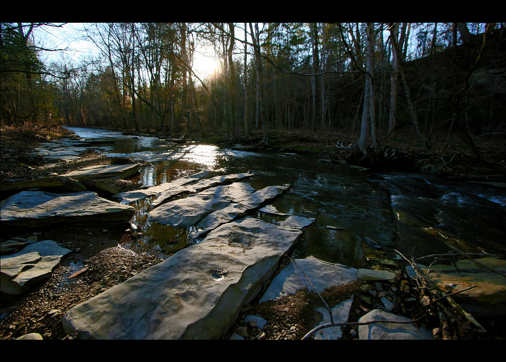
River View

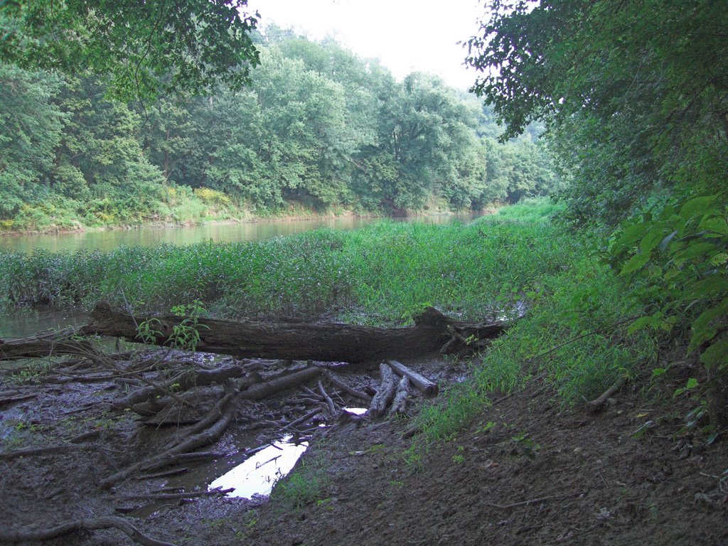
Viewing the Damage
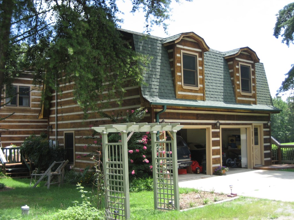
Apartment View from Side of House
Loveless Cafe in the Rain Nashville, TN
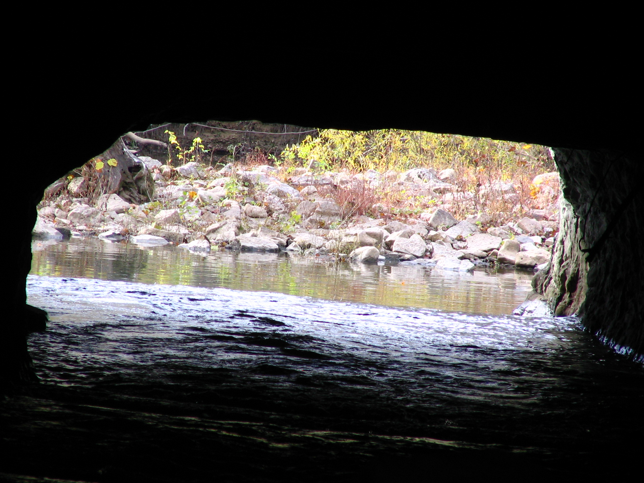
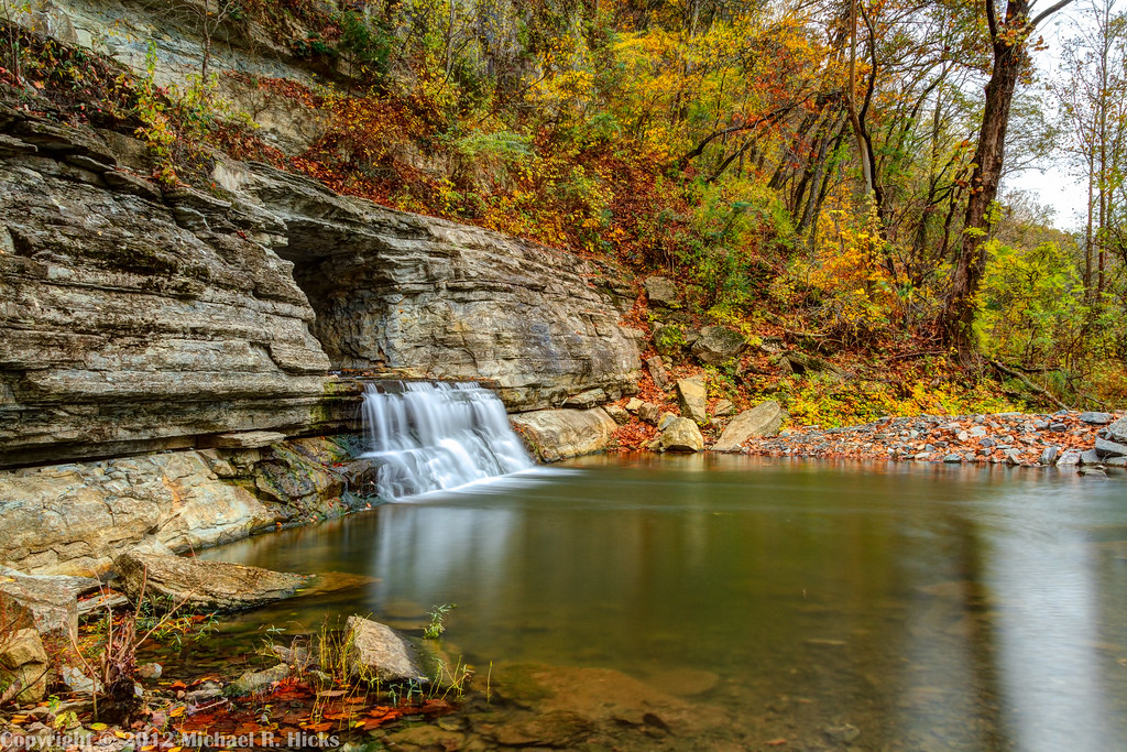
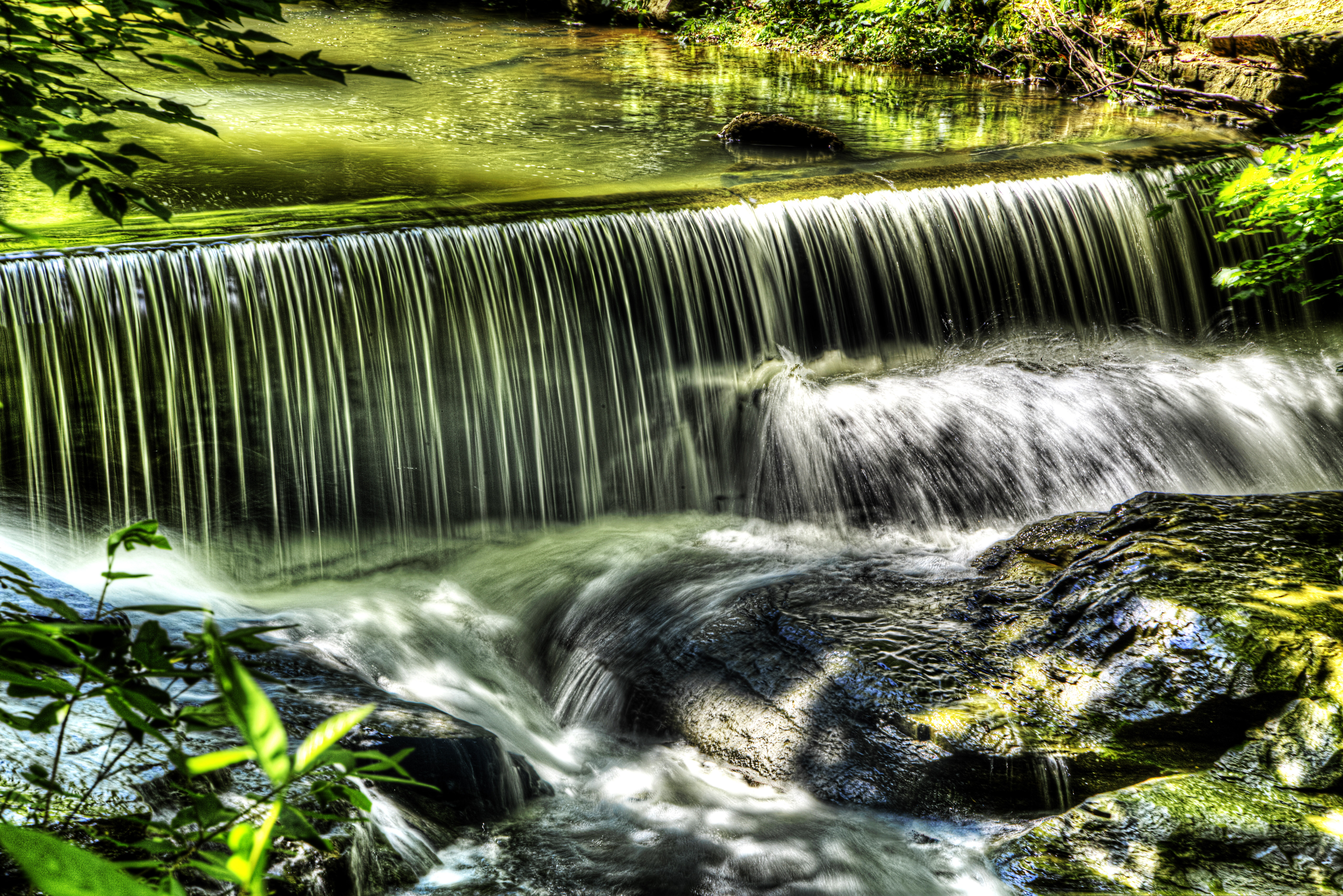
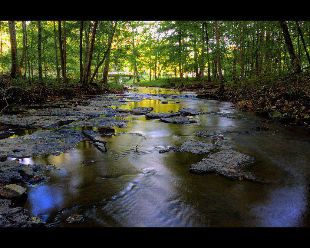
Tunnel Exit Pool

The view ahead

I came here to read, stayed for the view
Cedar Hill Road

Sunset at the Loveless
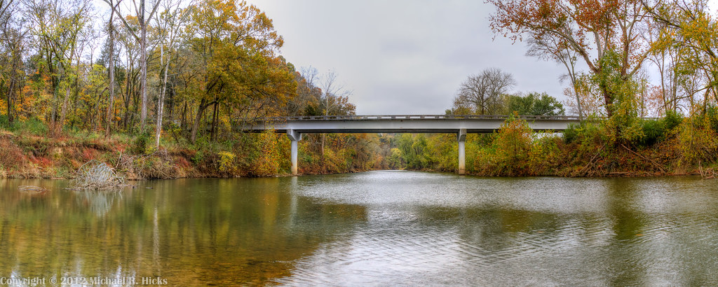
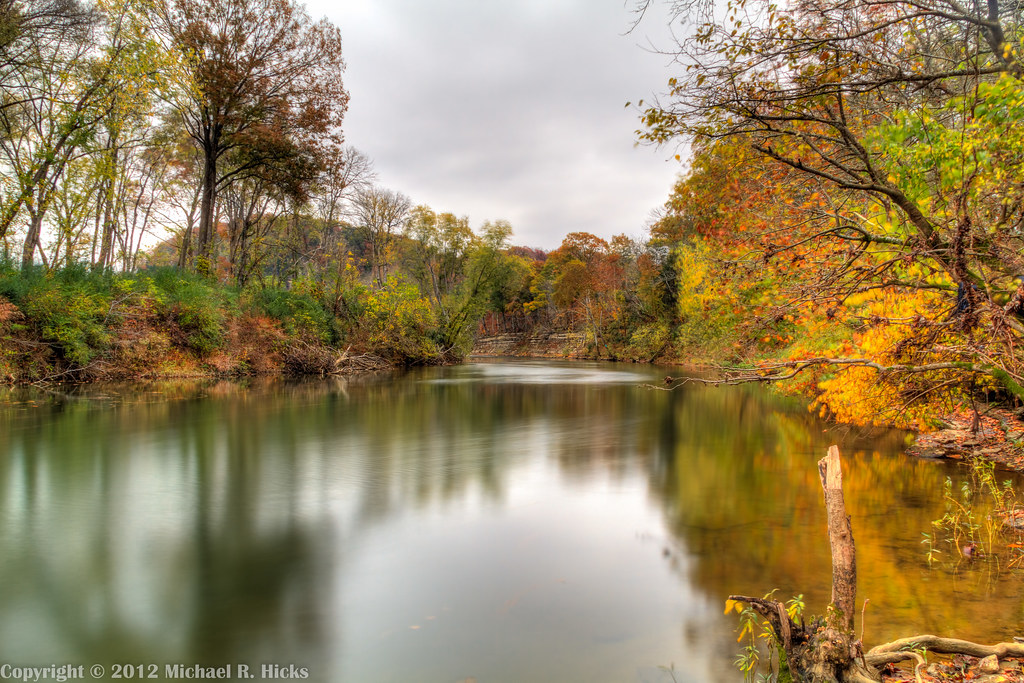
Harpeth River State Park - Narrows of the Harpeth

Harpeth River State Park - Narrows of the Harpeth
Harpeth River State Park - Harris Street Bridge Canoe Access
Harpeth River State Park - Narrows of the Harpeth
Harpeth River State Park - Narrows of the Harpeth
Harpeth River State Park - Narrows of the Harpeth

Slowly, Spring Comes.
Calm Water Under The Bridge
Descending Order
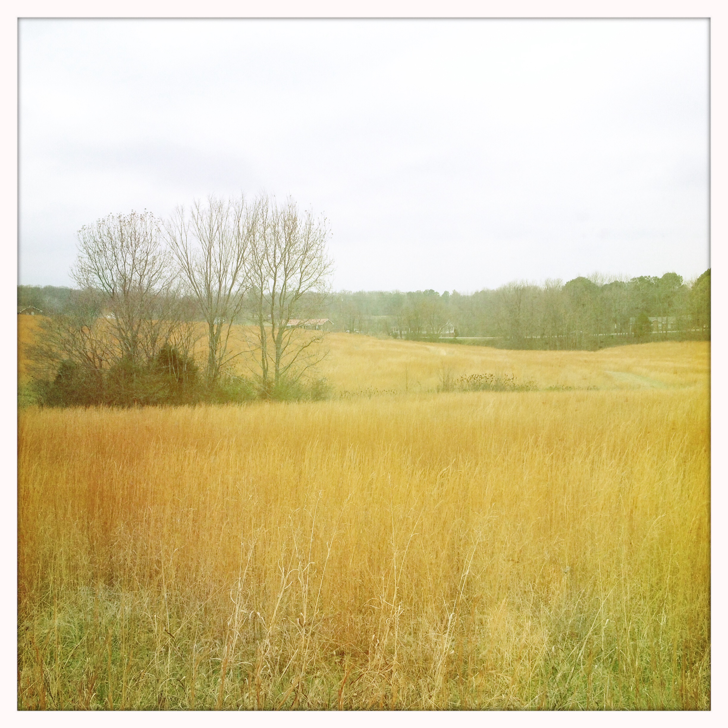
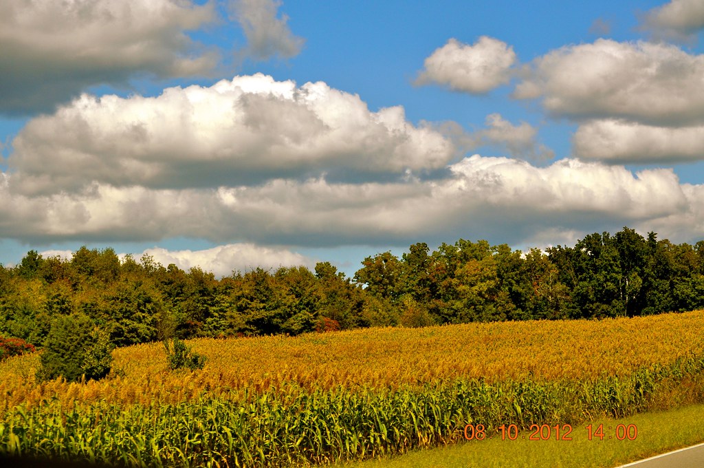
Amber waves.
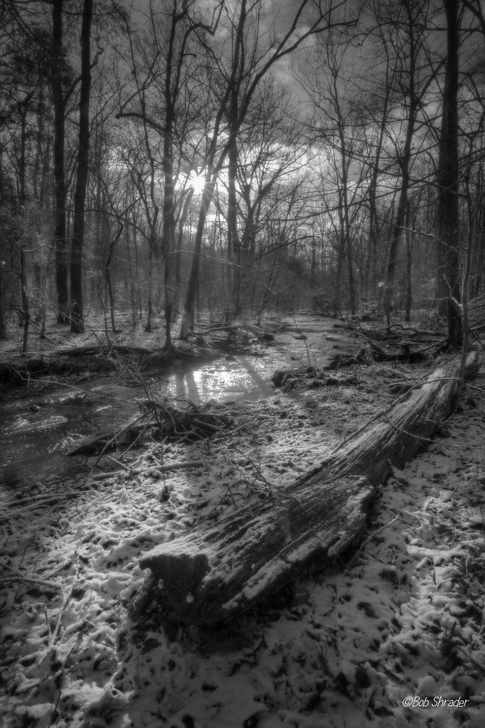
Cold Dust

Stairway to heaven
Montgomery Bell State Park
Harpeth River State Park - Gossett Tract State Natural Area
Sunshine on the water
Inlayd Stone

Montgomery Bell State Park
Leatherwood Creek
Sites along the Natchez Trace to Nashville,Tn - 142
Topographic Map of Loann Ave, Kingston Springs, TN, USA
Find elevation by address:

Places near Loann Ave, Kingston Springs, TN, USA:
1323 Jackson Cabin Rd
577 Mt Pleasant Rd
1964 Street Rd
Kingston Springs
1064 Street Rd
Buffalo Gap
1054 Thornblade Dr
1110 Dog Creek Rd
1116 Dog Creek Rd
Pegram
Cheatham County
4495 Sears Rd
8739 Old Charlotte Pike
Indian Springs Road
1754 Sams Creek Rd
1075 Garland Hollow Rd
1029 Garland Hollow Rd
Bellevue, TN, USA
Bellevue
139 Morton Mill Cir
Recent Searches:
- Elevation of Kreuzburger Weg 13, Düsseldorf, Germany
- Elevation of Gateway Blvd SE, Canton, OH, USA
- Elevation of East W.T. Harris Boulevard, E W.T. Harris Blvd, Charlotte, NC, USA
- Elevation of West Sugar Creek, Charlotte, NC, USA
- Elevation of Wayland, NY, USA
- Elevation of Steadfast Ct, Daphne, AL, USA
- Elevation of Lagasgasan, X+CQH, Tiaong, Quezon, Philippines
- Elevation of Rojo Ct, Atascadero, CA, USA
- Elevation of Flagstaff Drive, Flagstaff Dr, North Carolina, USA
- Elevation of Avery Ln, Lakeland, FL, USA