Elevation of Kingston Springs, TN, USA
Location: United States > Tennessee > Cheatham County >
Longitude: -87.115005
Latitude: 36.1020038
Elevation: 158m / 518feet
Barometric Pressure: 99KPa
Elevation Map:
Satellite Map:
Related Photos:
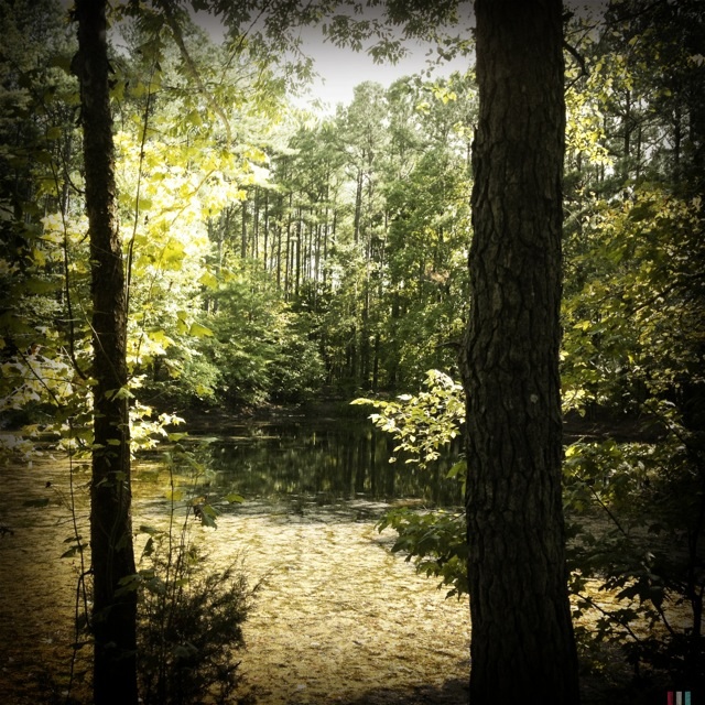
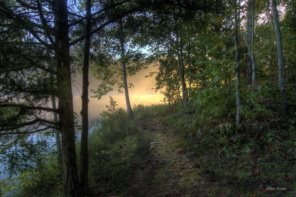
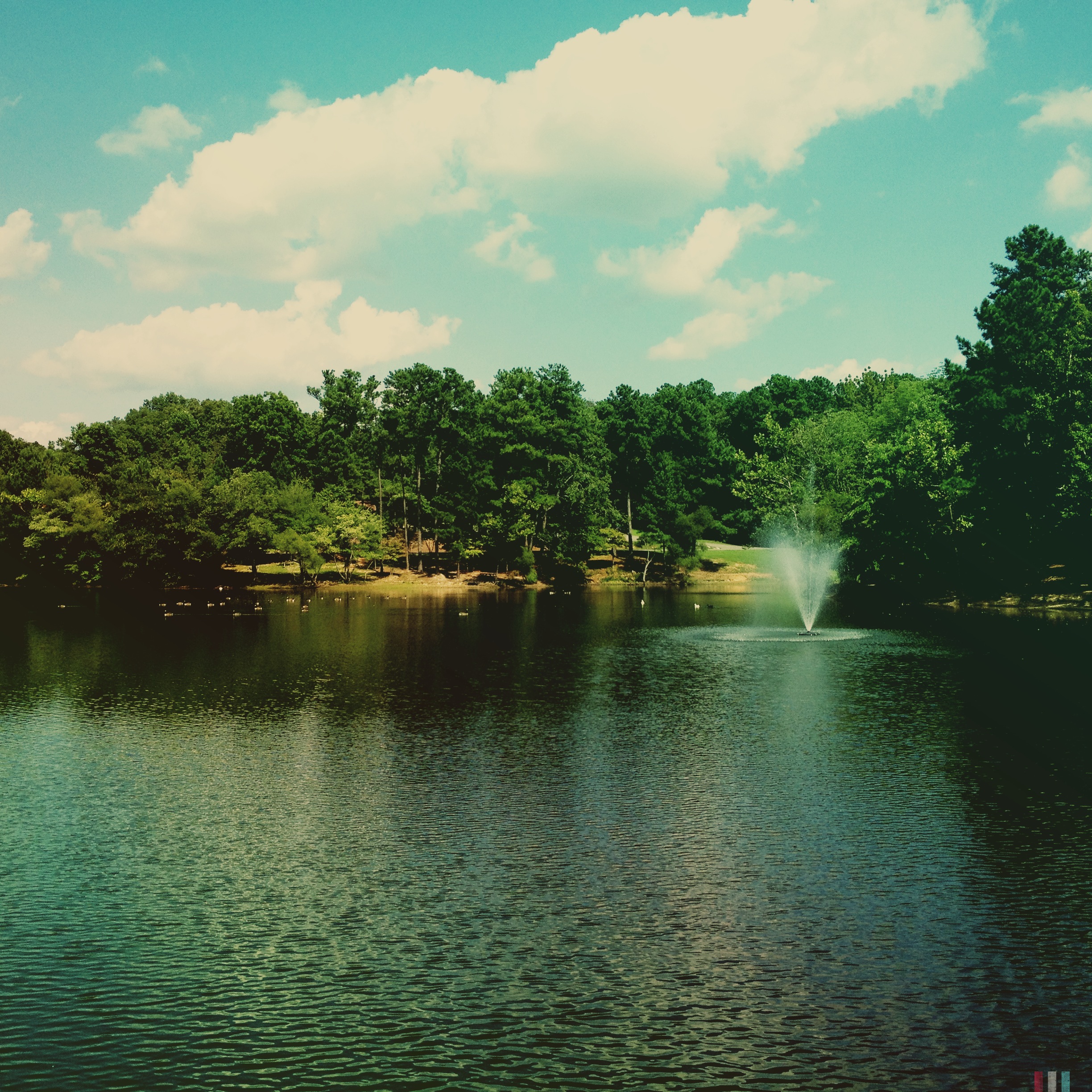
Pond view from a new running trail.

Anothere view of Caerlaverock Castle - as JMW Turner might have painted it. @tintedsteam @MrTurnerFilm @historicscotland @welovehistory @visitscotland @GreatBritain @TwitterUK The Instagram really doesn’t doesn’t do it justice… #Medieval #medievaleuro

Anothere view of Caerlaverock Castle - as JMW Turner might have painted it. @tintedsteam @MrTurnerFilm @historicscotland @welovehistory @visitscotland @GreatBritain @TwitterUK The Instagram really doesn’t doesn’t do it justice… #Medieval #medievaleuro

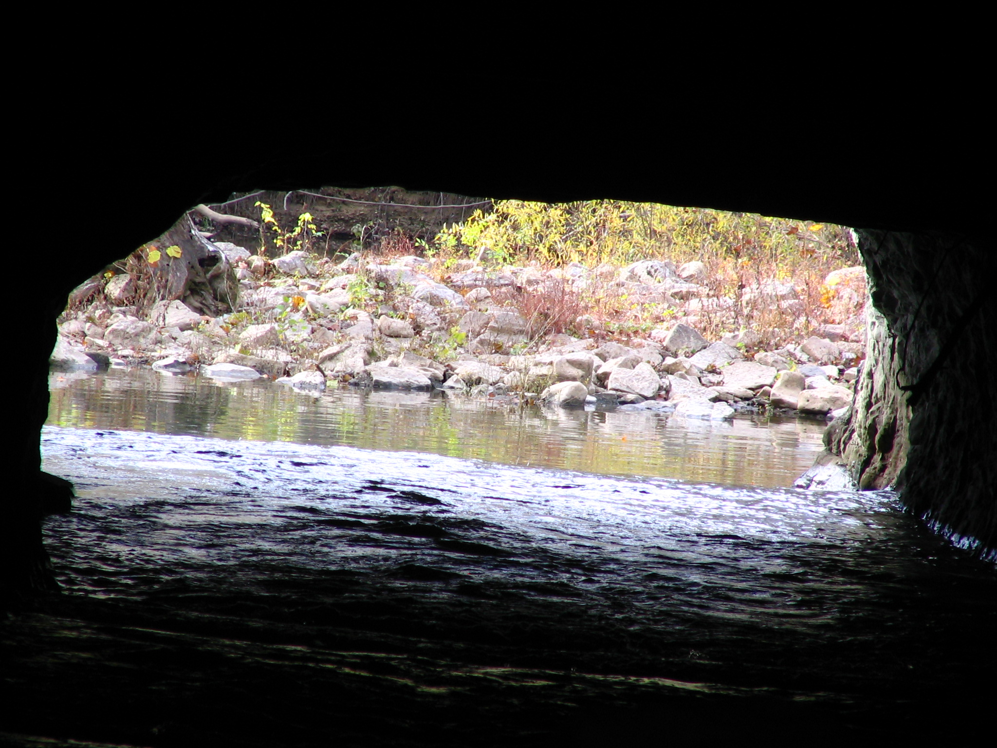
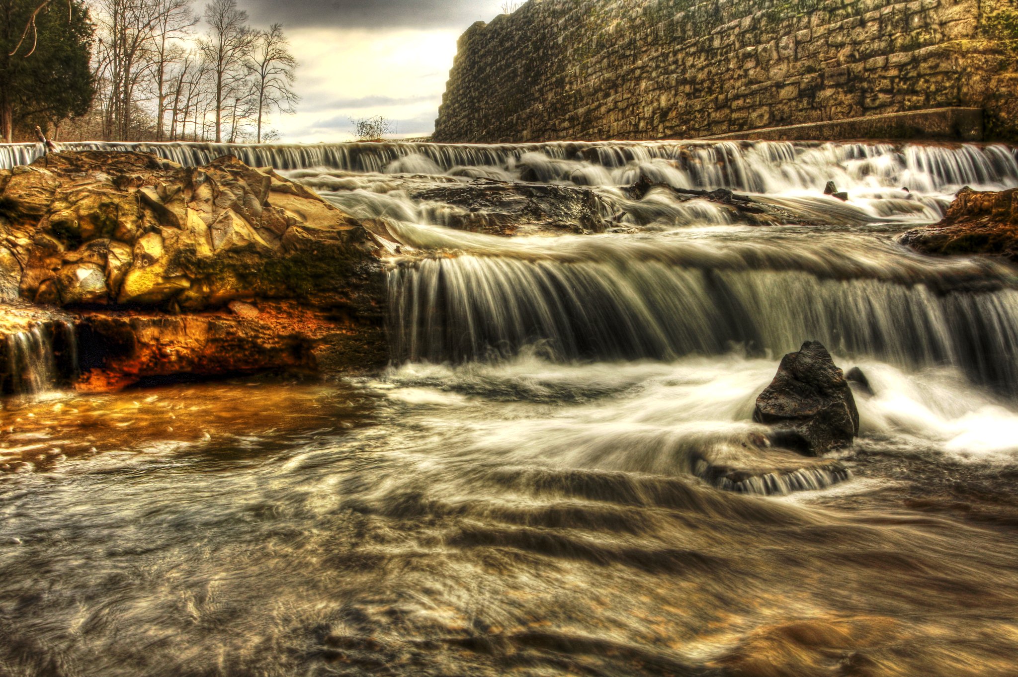
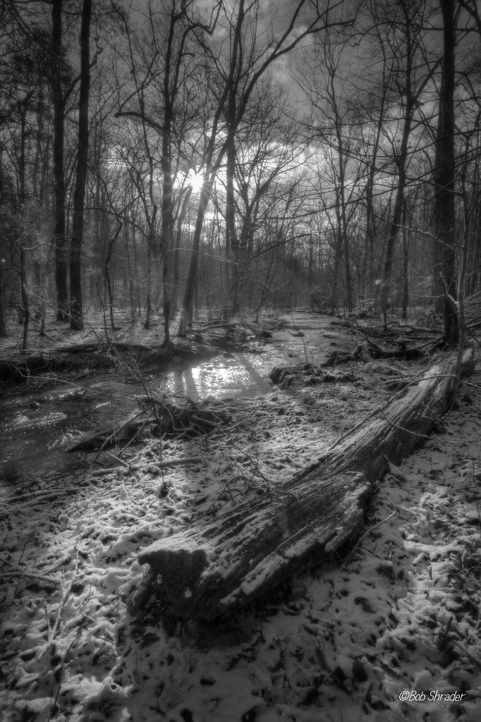
Montgomery Bell Tunnel, Narrows of the Harpeth
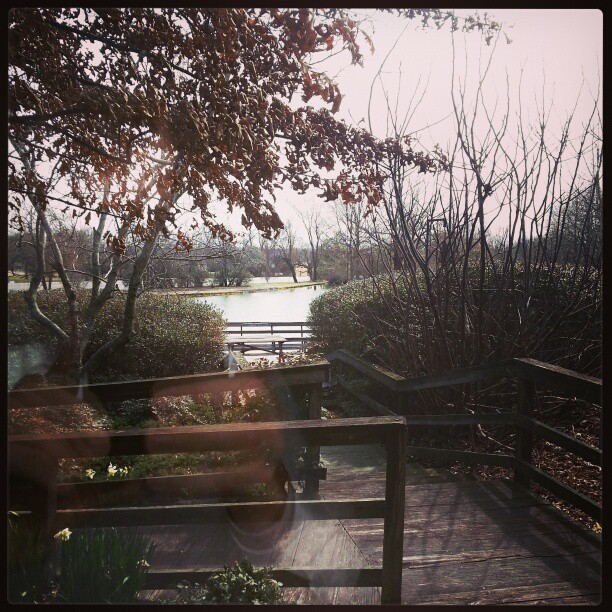
A view outside from the guy stuck inside. This is the 'lake' right outside my office window.
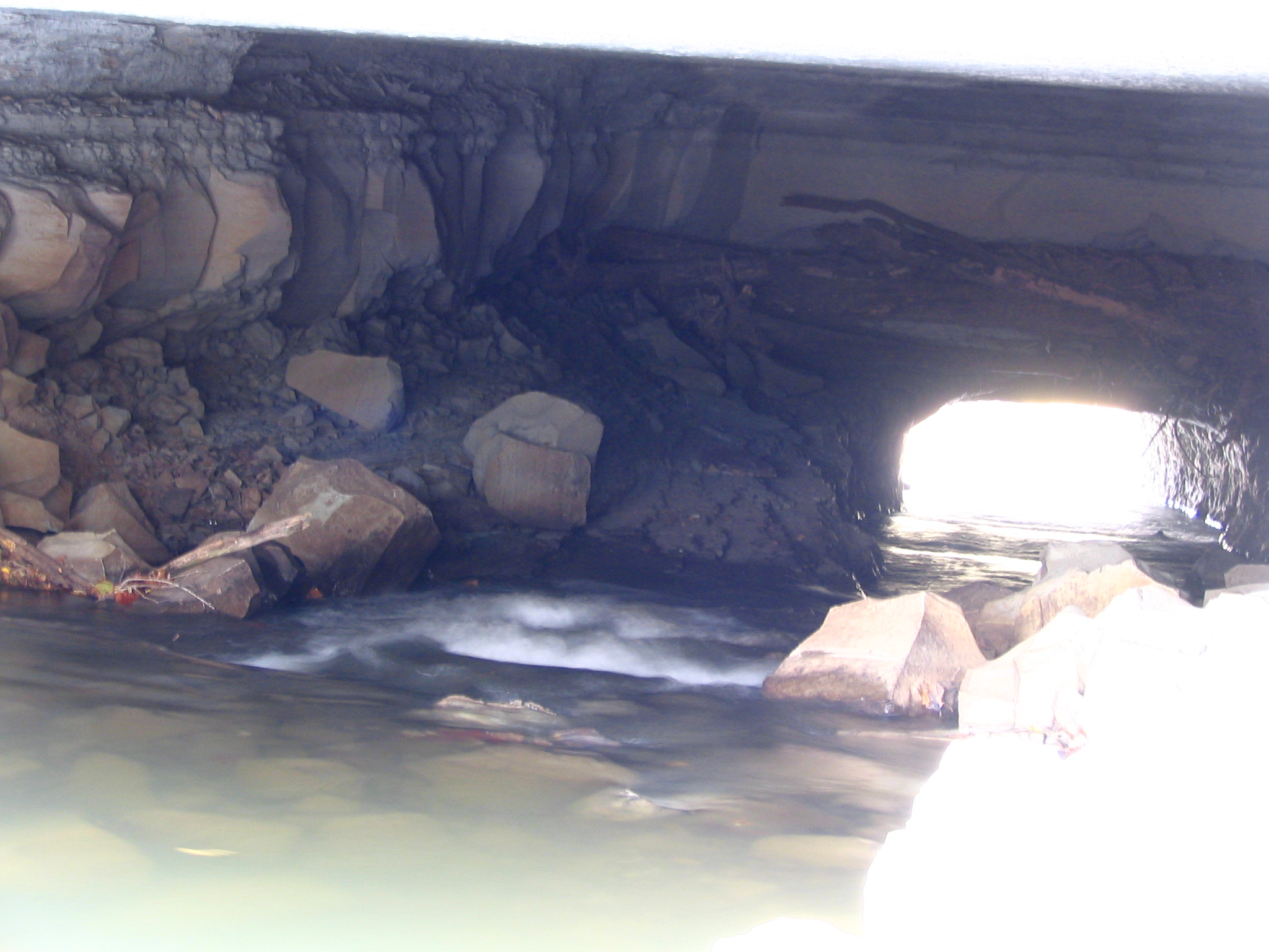
Alternate view of Montgomery Bell Tunnel
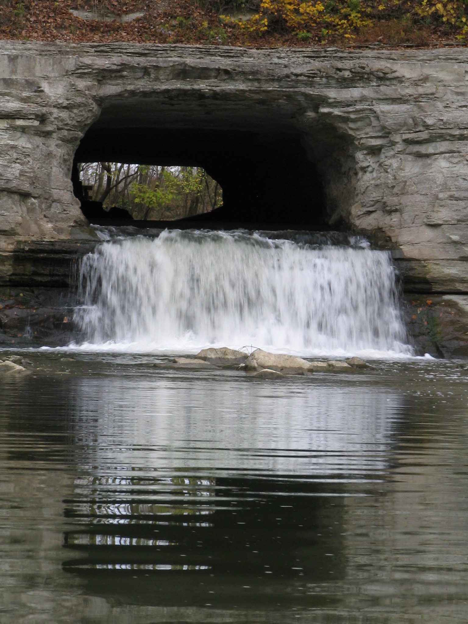
closeup view of Montgomery Bell Tunnel
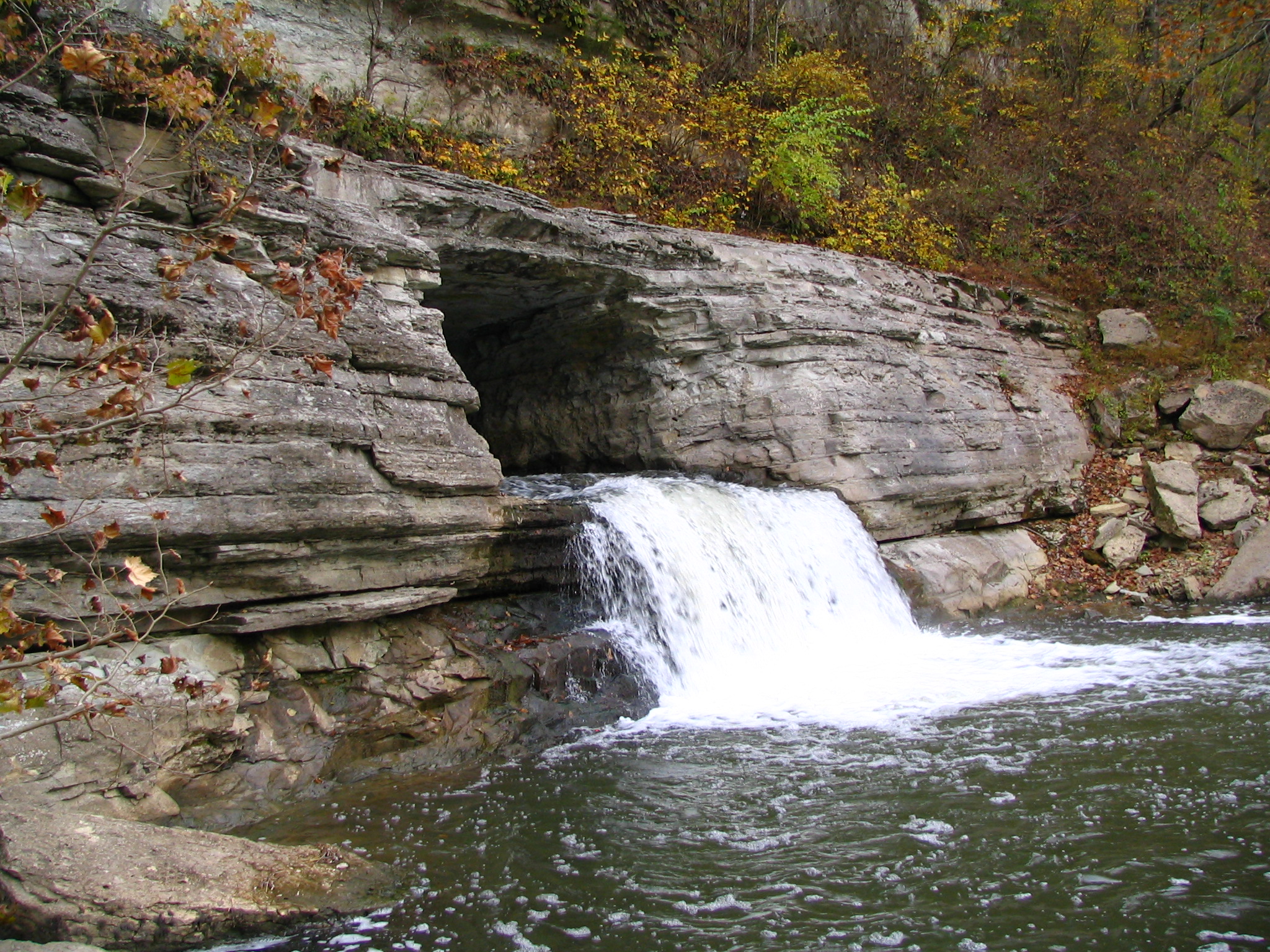
Alternate view of Montgomery Bell Tunnel
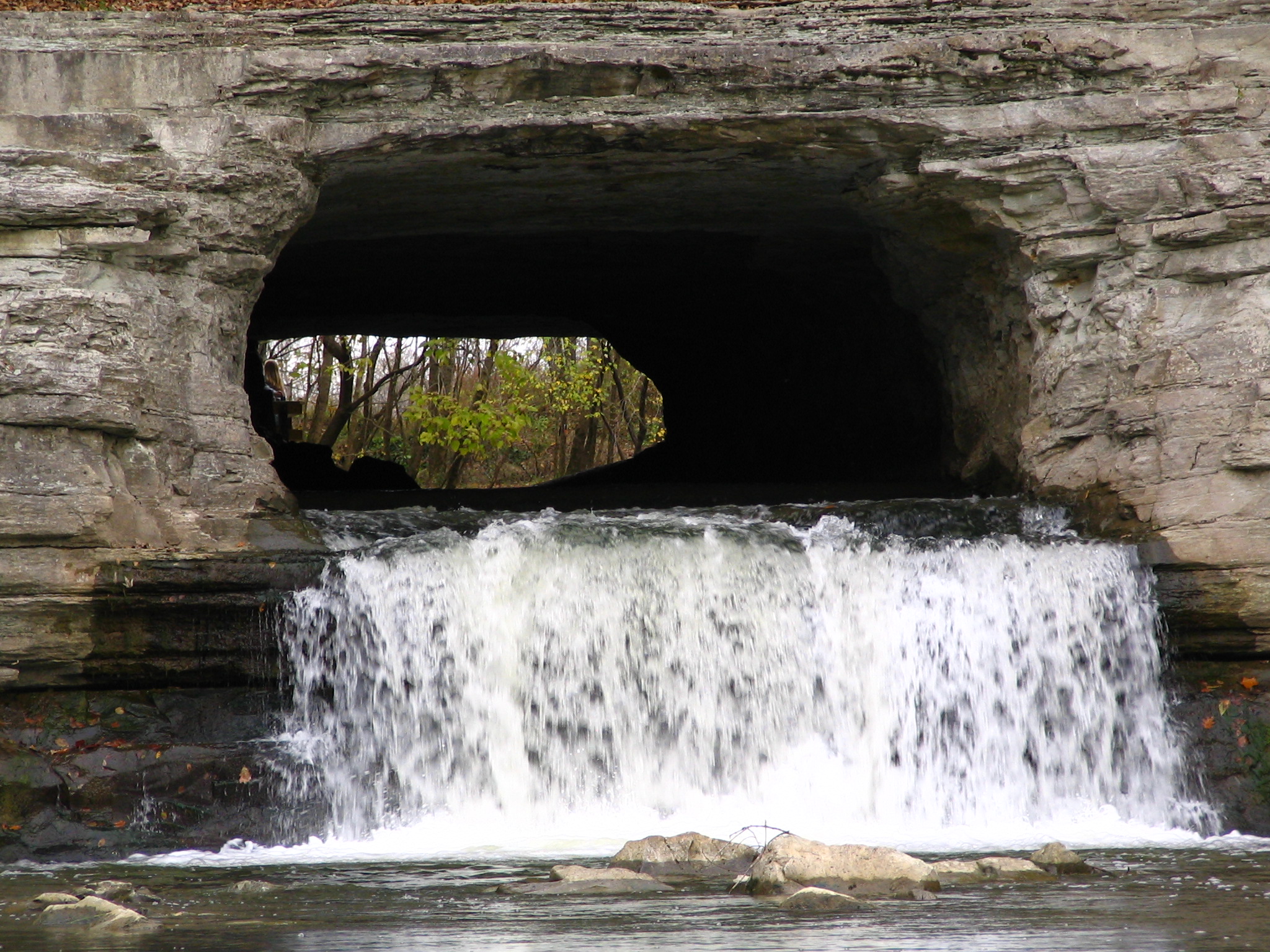
Extreme Closeup view of Montgomery Bell Tunnel

This view.
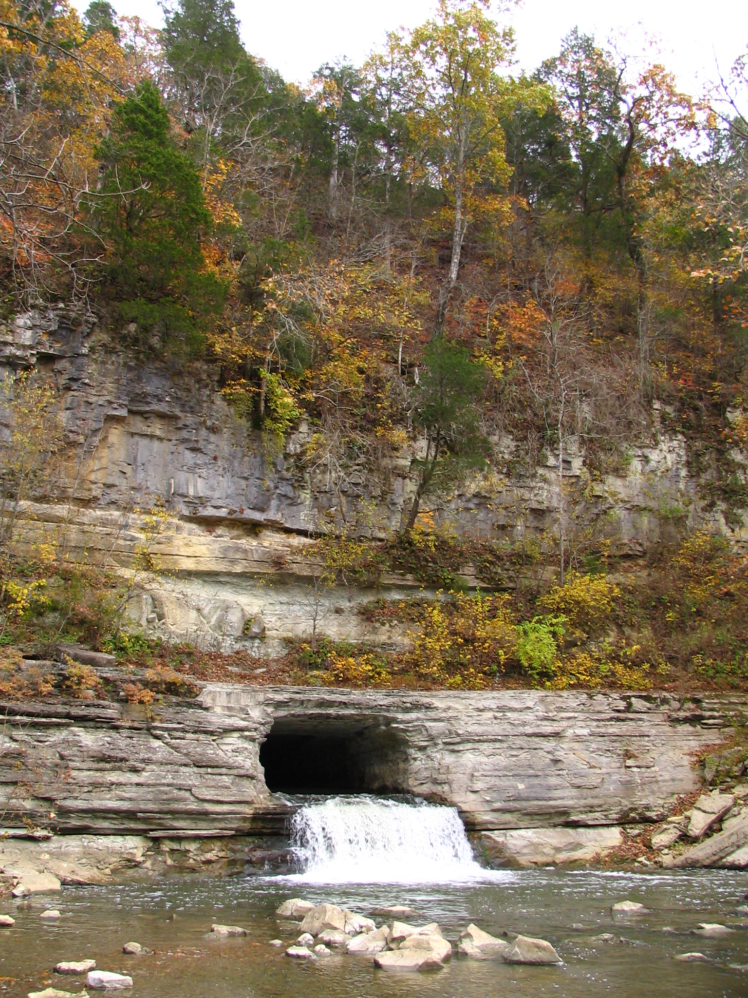
Alternate view of Montgomery Bell Tunnel
A Symmetrical View

Constellation Scorpio and Planet Jupiter
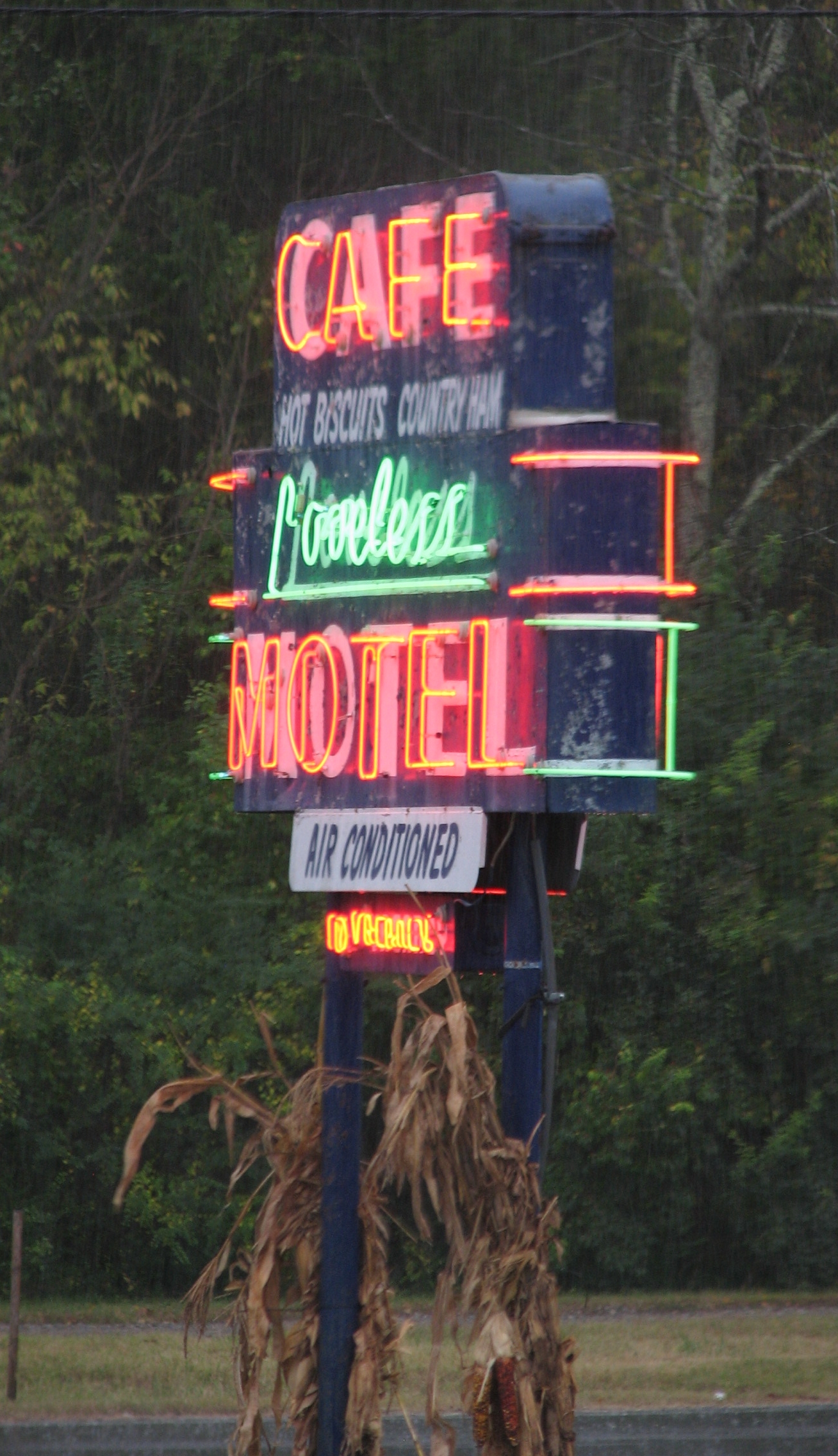
Loveless Cafe Neon in the Rain
Clear View of Montgomery Bell's Gravesite
Good Morning
Alternate view of Montgomery Bell Tunnel
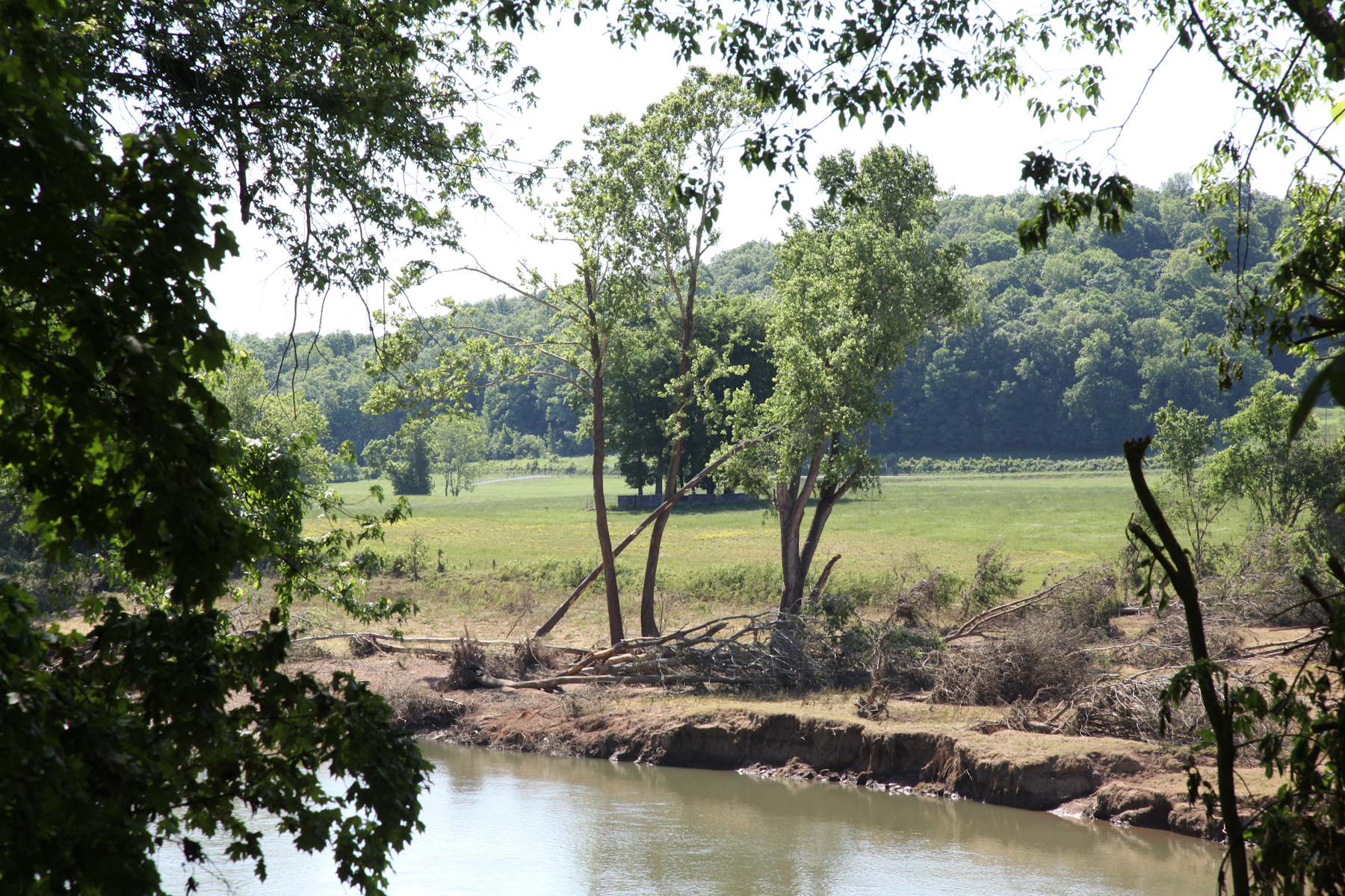
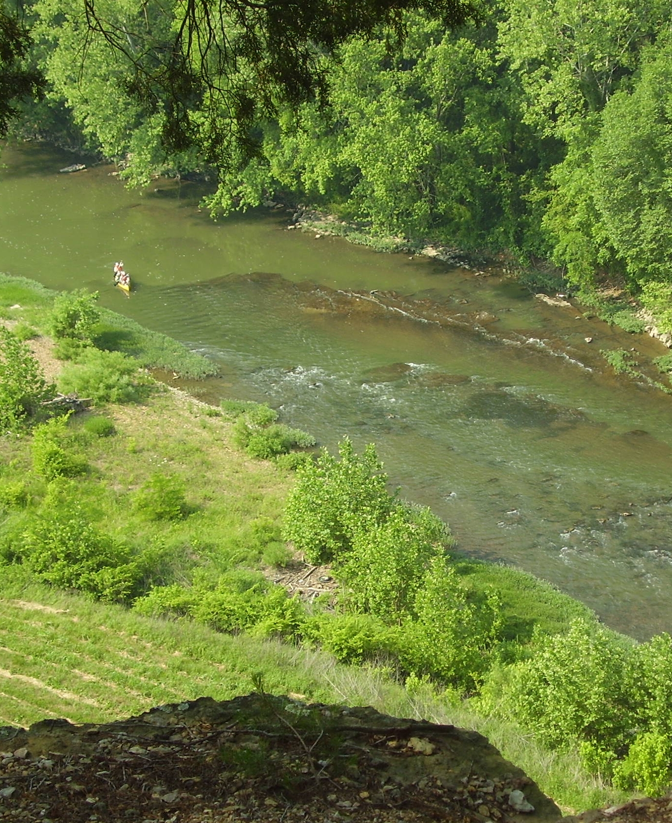
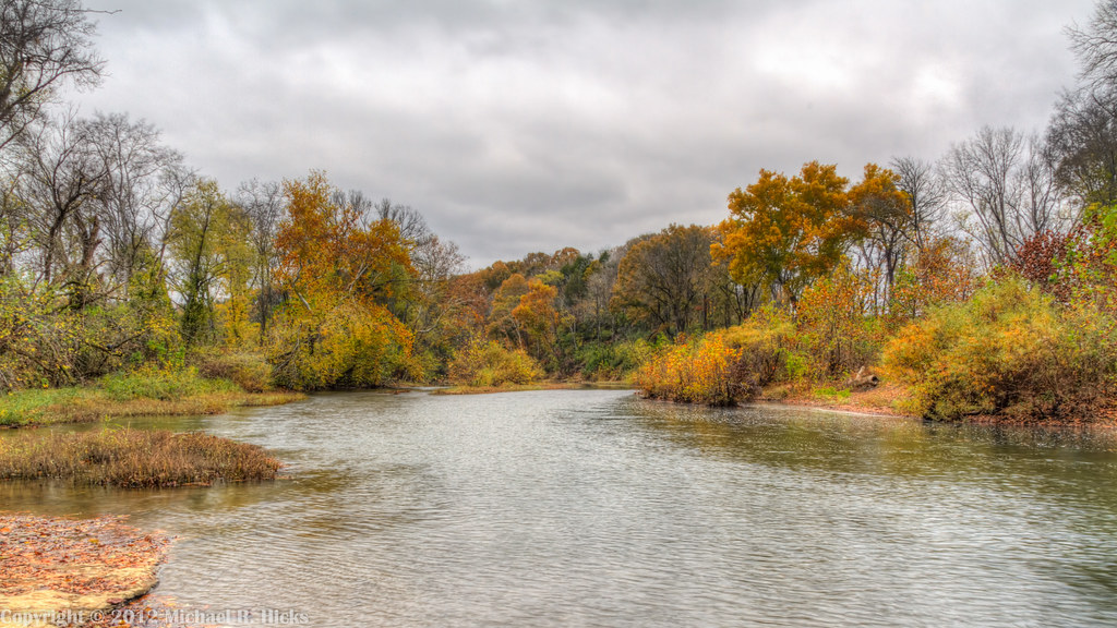
River View
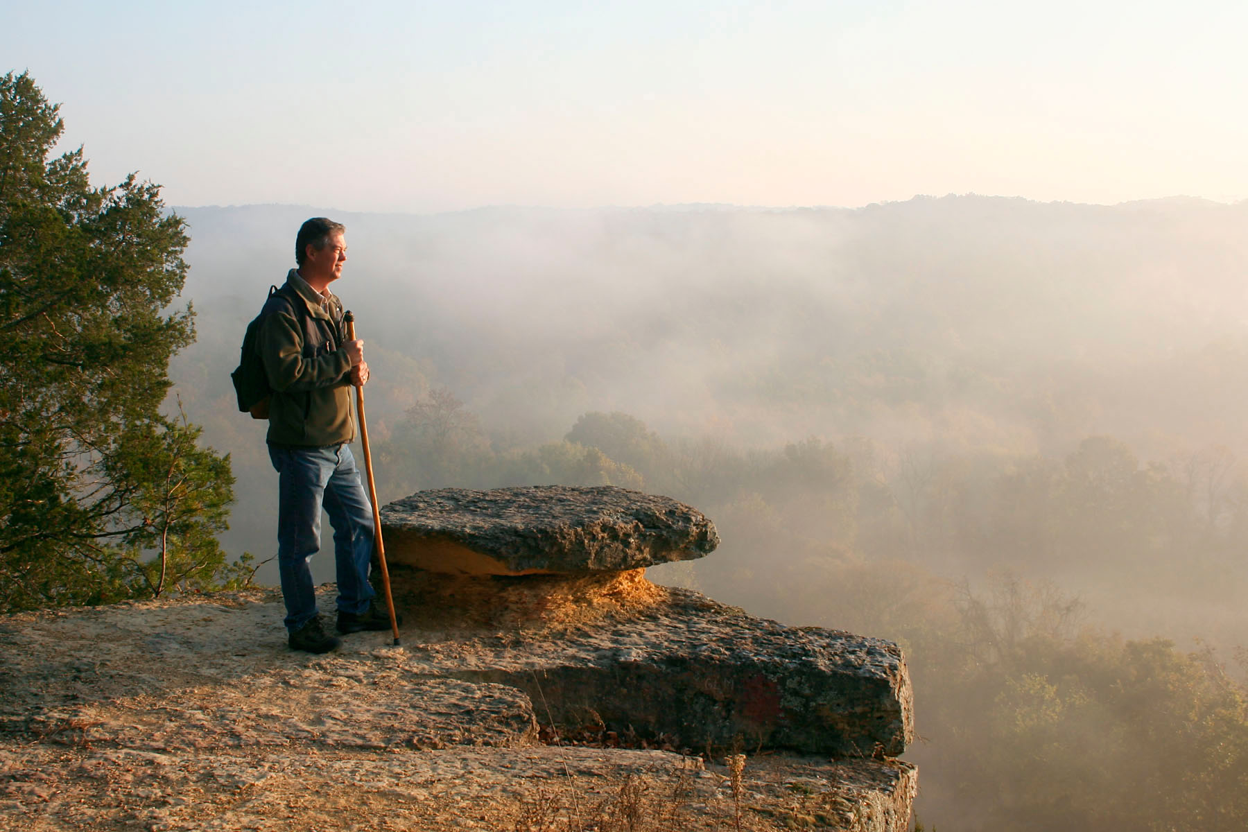
View from Mace Bluff
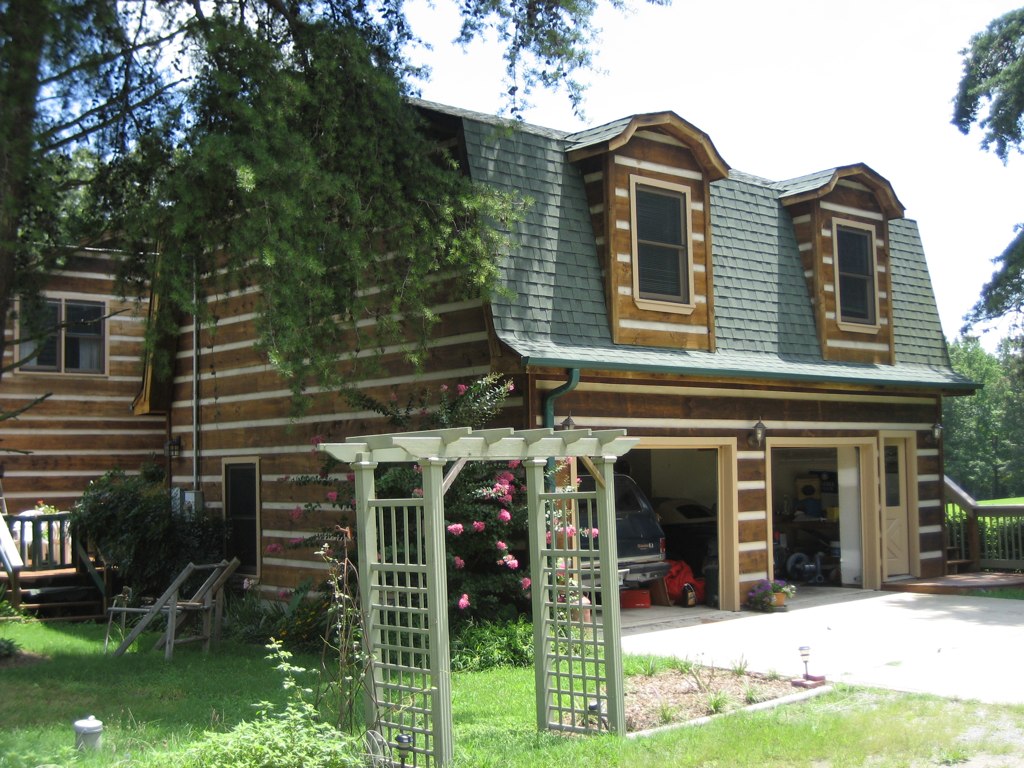
Apartment View from Side of House
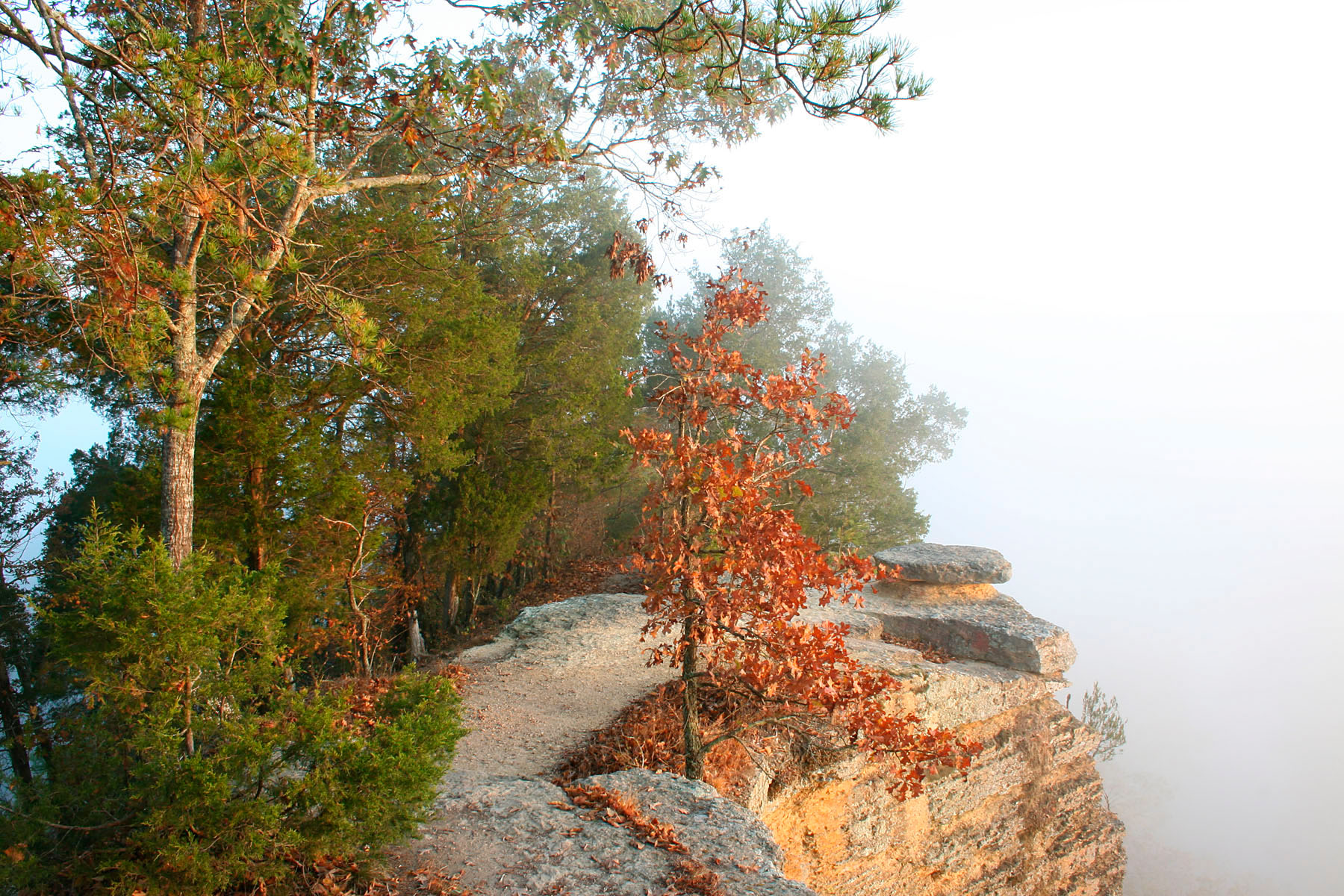
Bluff Overlook

Slowly, Spring Comes.
Into the light
Leatherwood Creek
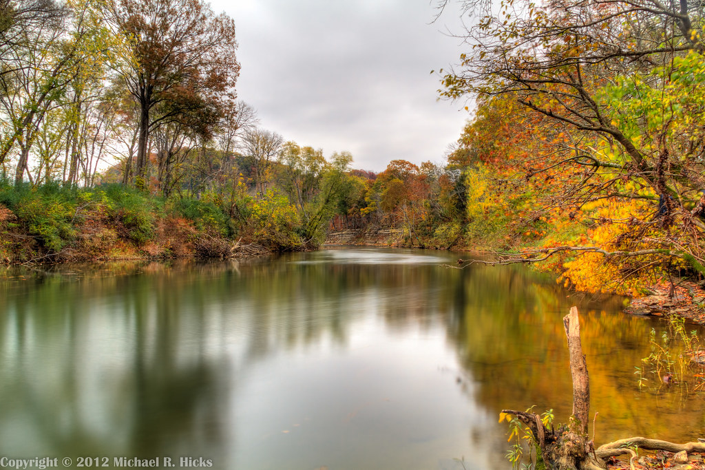
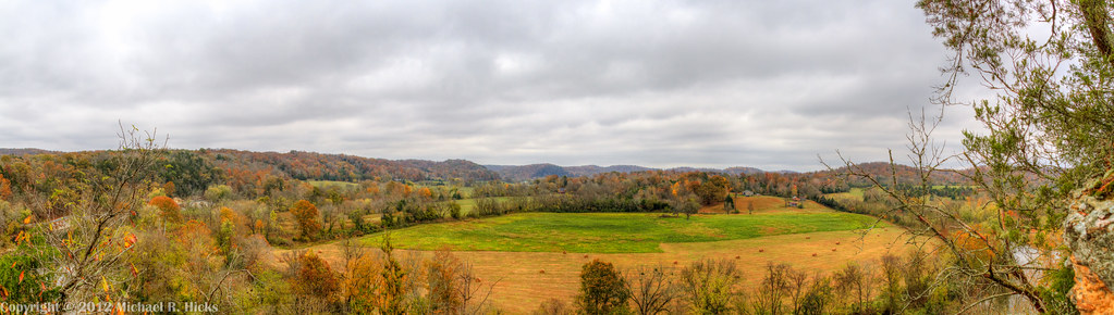
Harpeth River State Park - Gossett Tract State Natural Area
Inlayd Stone
Cold Dust
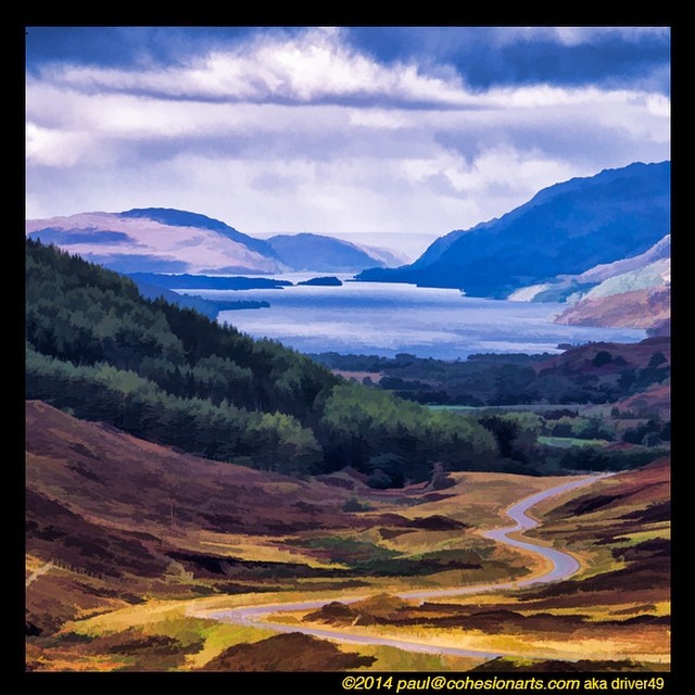
getolympus @visitscotland All Roads Lead to Wester Ros - Scottish Highlands @Glasgow @Dumfries @AberdeenAngusUK @KingdomOfFife @historicscotland @welovehistory @GreatBritain @TwitterUK —>>> I'll he returning to the UK Oct 8-22, #Glasgow, #Dumfries

2008-08-16 16:37:35 -0500
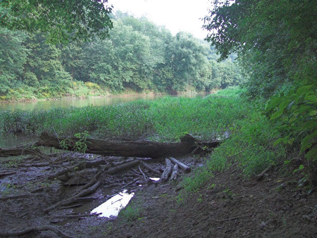
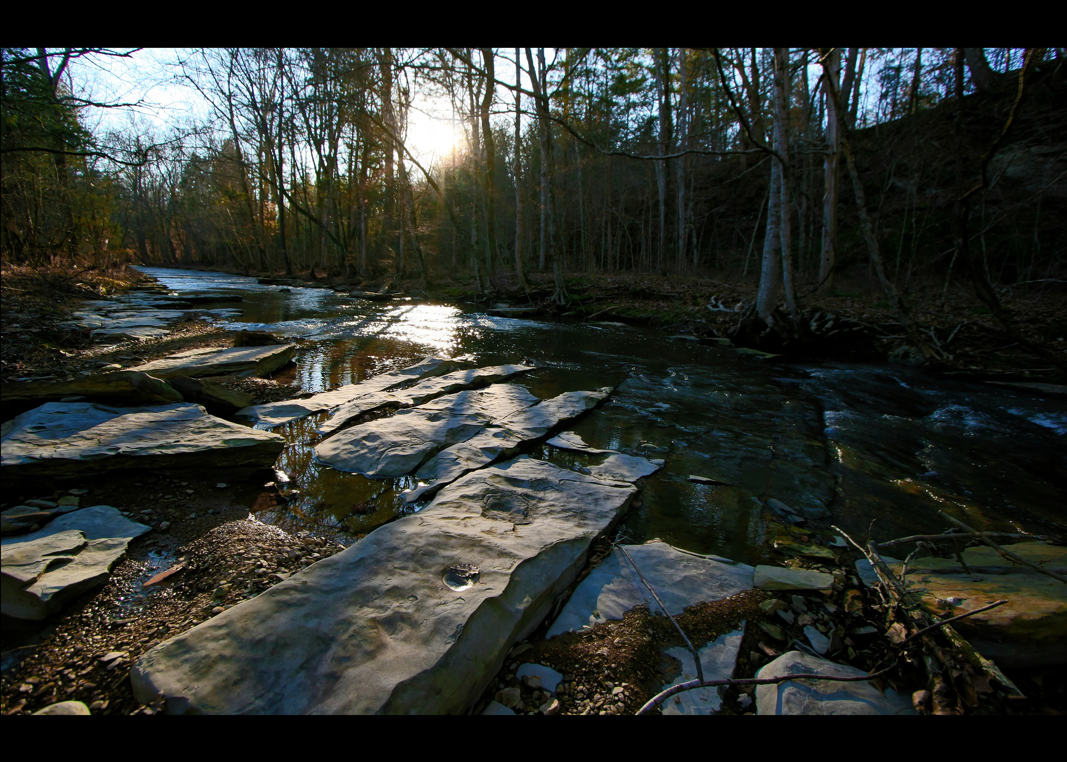
Harpeth River State Park - Narrows of the Harpeth

@IsleOSkye @visitscotland @GreatBritain Just over the bridge, coming into the Isle of Skye in the #Scotish #Highlands - October 2012 #Scotland #photooftheday #thebest_capture #ig_masterpiece #nuriss_tag #awe_inspiringshots #pro_ig #global_highli

Harpeth River State Park - Narrows of the Harpeth
Harpeth River State Park - Gossett Tract State Natural Area
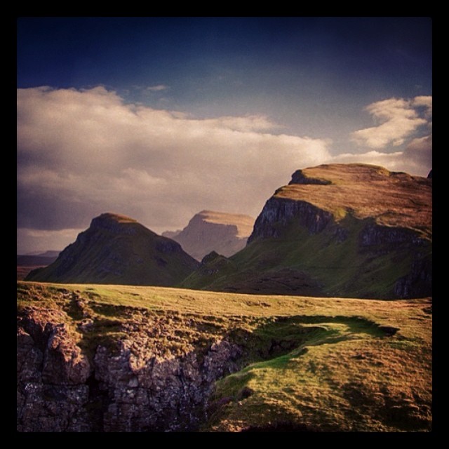
@visitscotland #brilliantmoments #queraing #scotland The Queraing on @isleoskye in @TwitterUK #scenic #travel @GreatBritain #highlands #blog #digest

At Pattison Forge aka Narrows of the Harpeth with @kenton #latergram
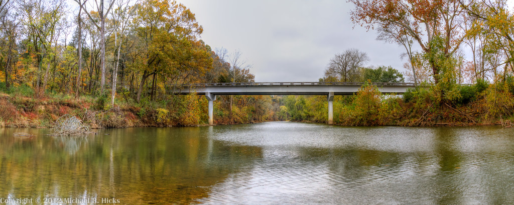
Harpeth River State Park - Harris Street Bridge Canoe Access
Harpeth River State Park - Narrows of the Harpeth
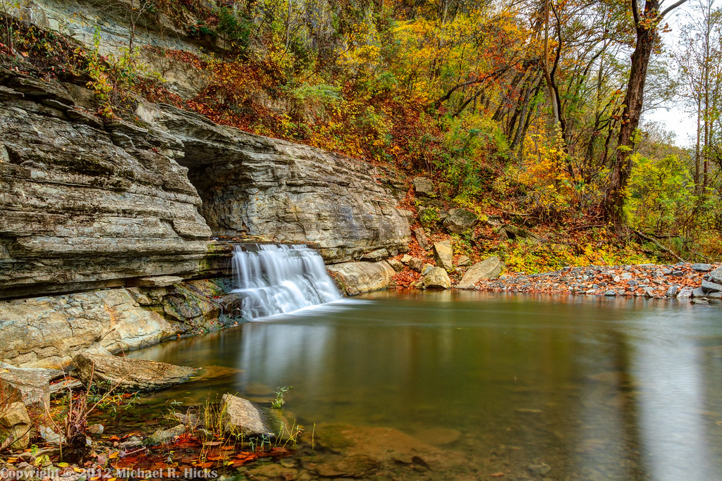
Harpeth River State Park - Narrows of the Harpeth
Quiet afternoon.

Sites along the Natchez Trace to Nashville,Tn - 045
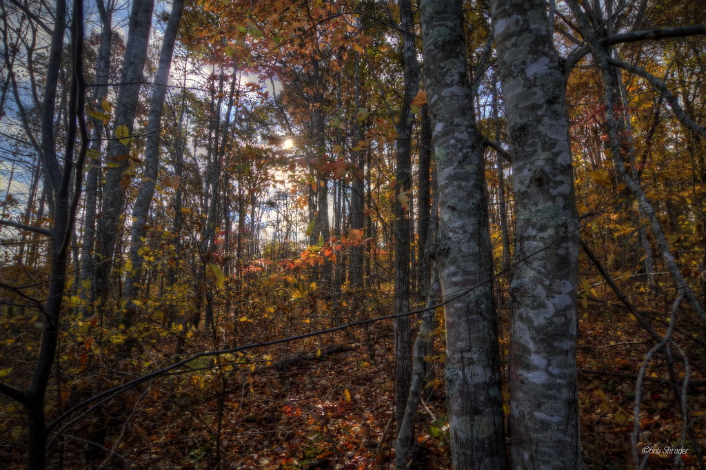
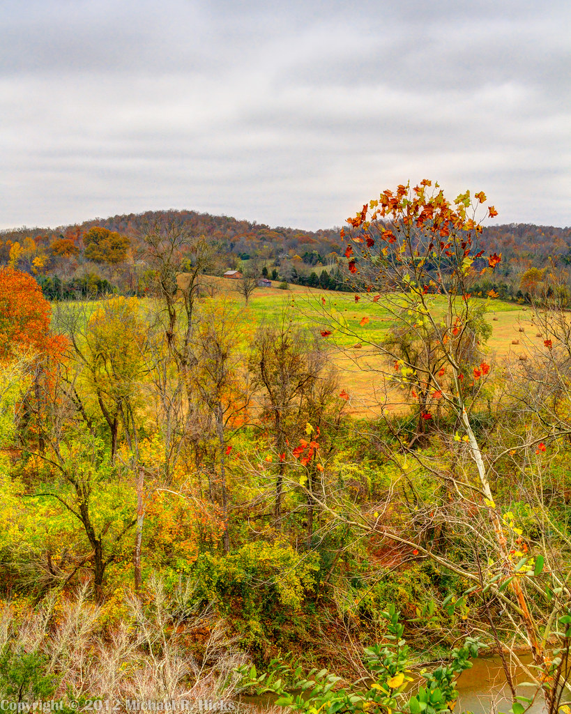
Autumn Explosion

Wild Turkeys along the Natchez Trace to Nashville,Tn - 016
Topographic Map of Kingston Springs, TN, USA
Find elevation by address:

Places in Kingston Springs, TN, USA:
Places near Kingston Springs, TN, USA:
1964 Street Rd
1064 Street Rd
577 Mt Pleasant Rd
Buffalo Gap
1326 Loann Ave
1110 Dog Creek Rd
1116 Dog Creek Rd
1054 Thornblade Dr
1323 Jackson Cabin Rd
Pegram
Cheatham County
4495 Sears Rd
8739 Old Charlotte Pike
Indian Springs Road
1754 Sams Creek Rd
1075 Garland Hollow Rd
1029 Garland Hollow Rd
Bellevue, TN, USA
Bellevue
139 Morton Mill Cir
Recent Searches:
- Elevation of Pykes Down, Ivybridge PL21 0BY, UK
- Elevation of Jalan Senandin, Lutong, Miri, Sarawak, Malaysia
- Elevation of Bilohirs'k
- Elevation of 30 Oak Lawn Dr, Barkhamsted, CT, USA
- Elevation of Luther Road, Luther Rd, Auburn, CA, USA
- Elevation of Unnamed Road, Respublika Severnaya Osetiya — Alaniya, Russia
- Elevation of Verkhny Fiagdon, North Ossetia–Alania Republic, Russia
- Elevation of F. Viola Hiway, San Rafael, Bulacan, Philippines
- Elevation of Herbage Dr, Gulfport, MS, USA
- Elevation of Lilac Cir, Haldimand, ON N3W 2G9, Canada