Elevation of Islamorada Dr N, Macclenny, FL, USA
Location: United States > Florida > Baker County > Macclenny >
Longitude: -82.112576
Latitude: 30.2898951
Elevation: 40m / 131feet
Barometric Pressure: 101KPa
Elevation Map:
Satellite Map:
Related Photos:
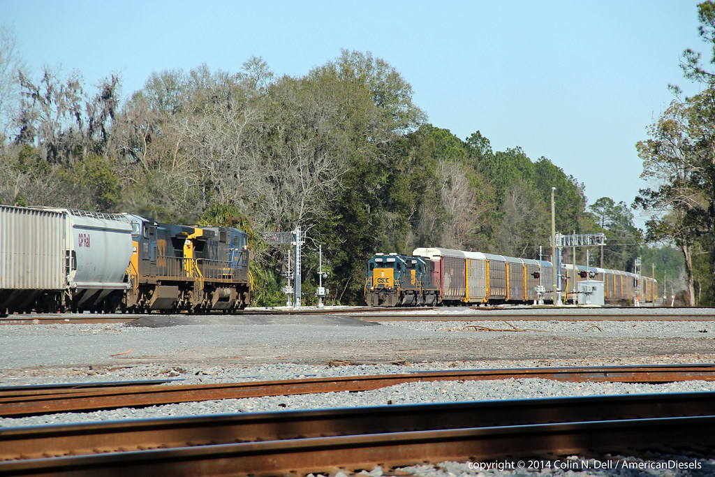
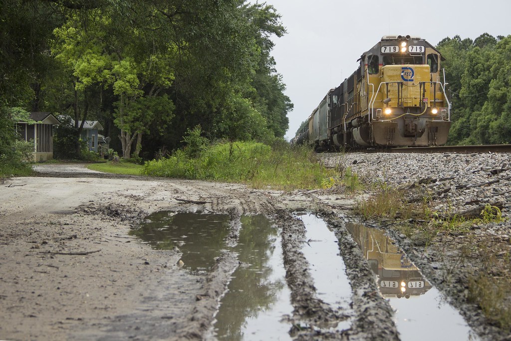
Train meet in Baldwin, FL

Forsyth Park, Savannah, Georgia #forsythpark #park #savannahgeorgia #georgia #visitsavannah #chathamcountyga #exploregeorgia #thesouthernfront #thegreatercollective #theamericancollective #landscape #landmark #touristattraction #city #view #scene #scenery
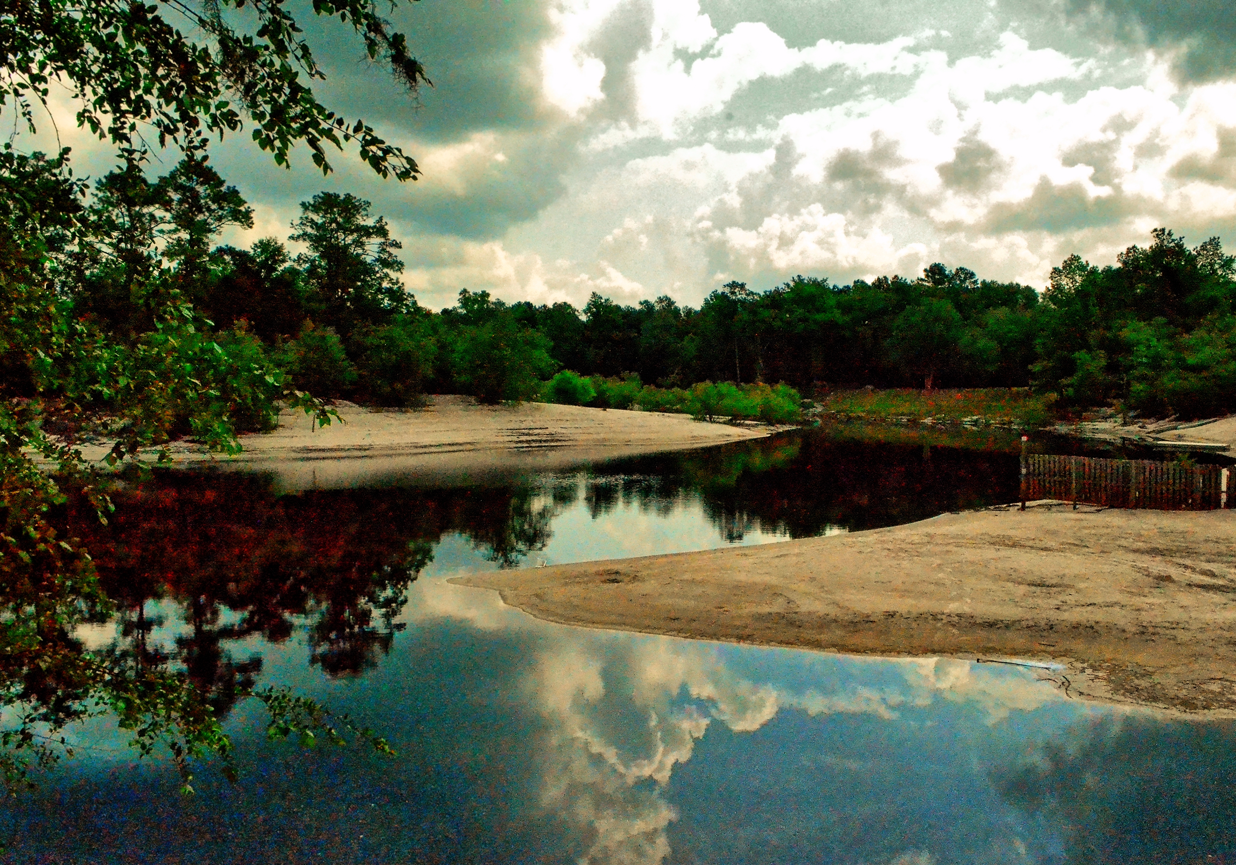
Saint Marys River, Baker County, Florida

On the road again...
StMarysRiver (16)
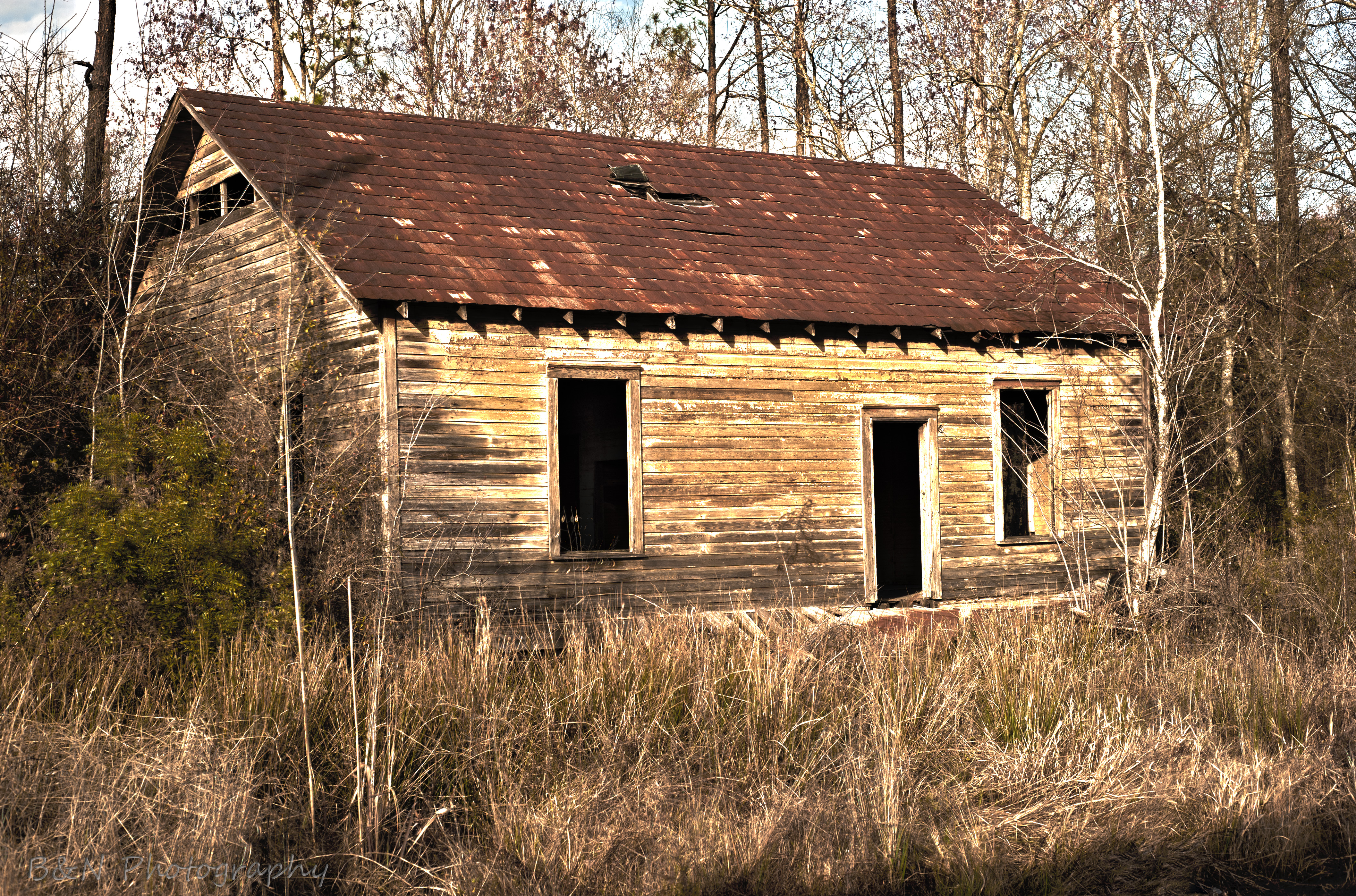
Abandoned House
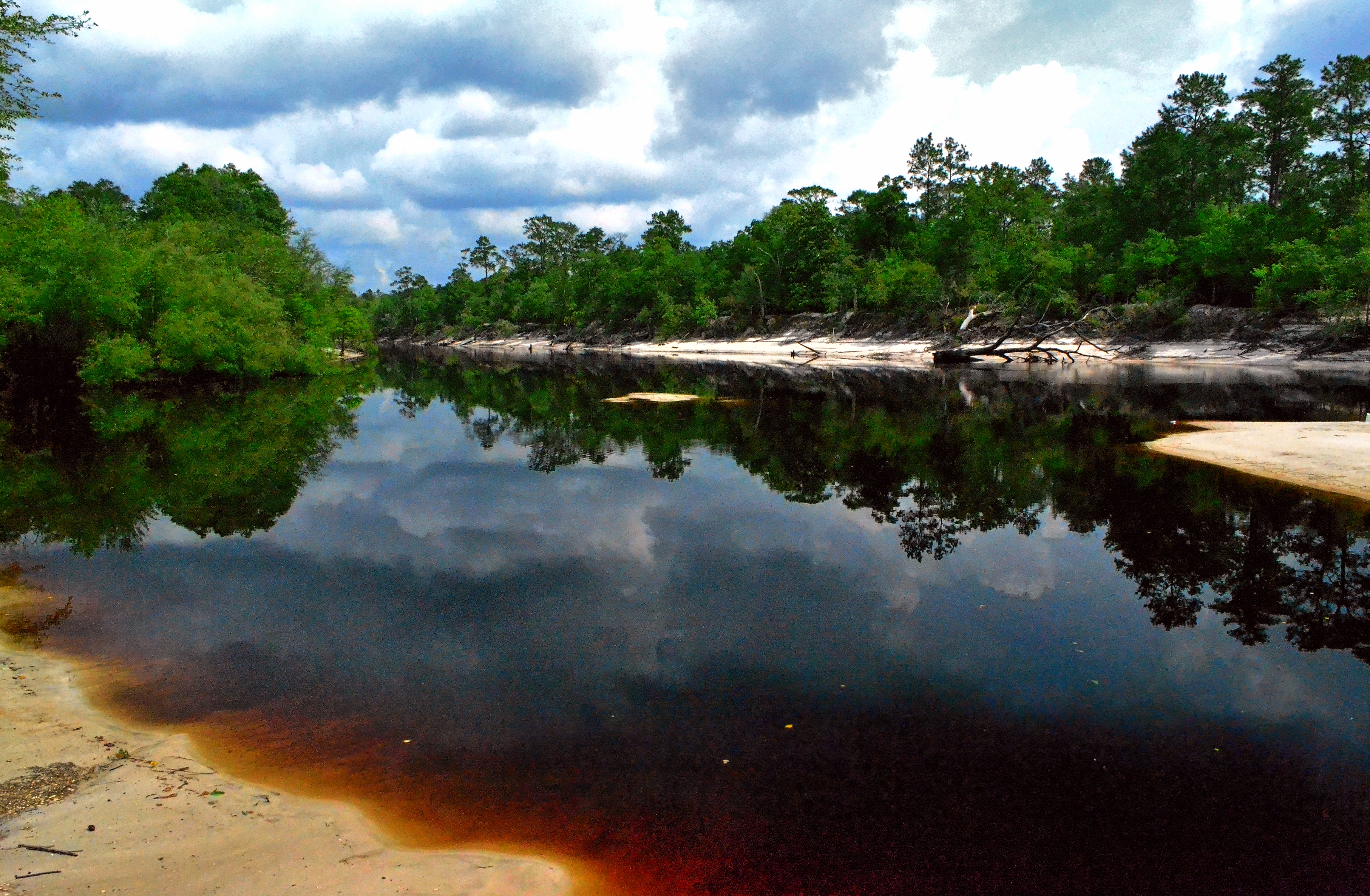
Saint Marys River, Baker County,Florida

Old Doors
Worn and Torn
mayhem-78.jpg
mayhem-1.jpg
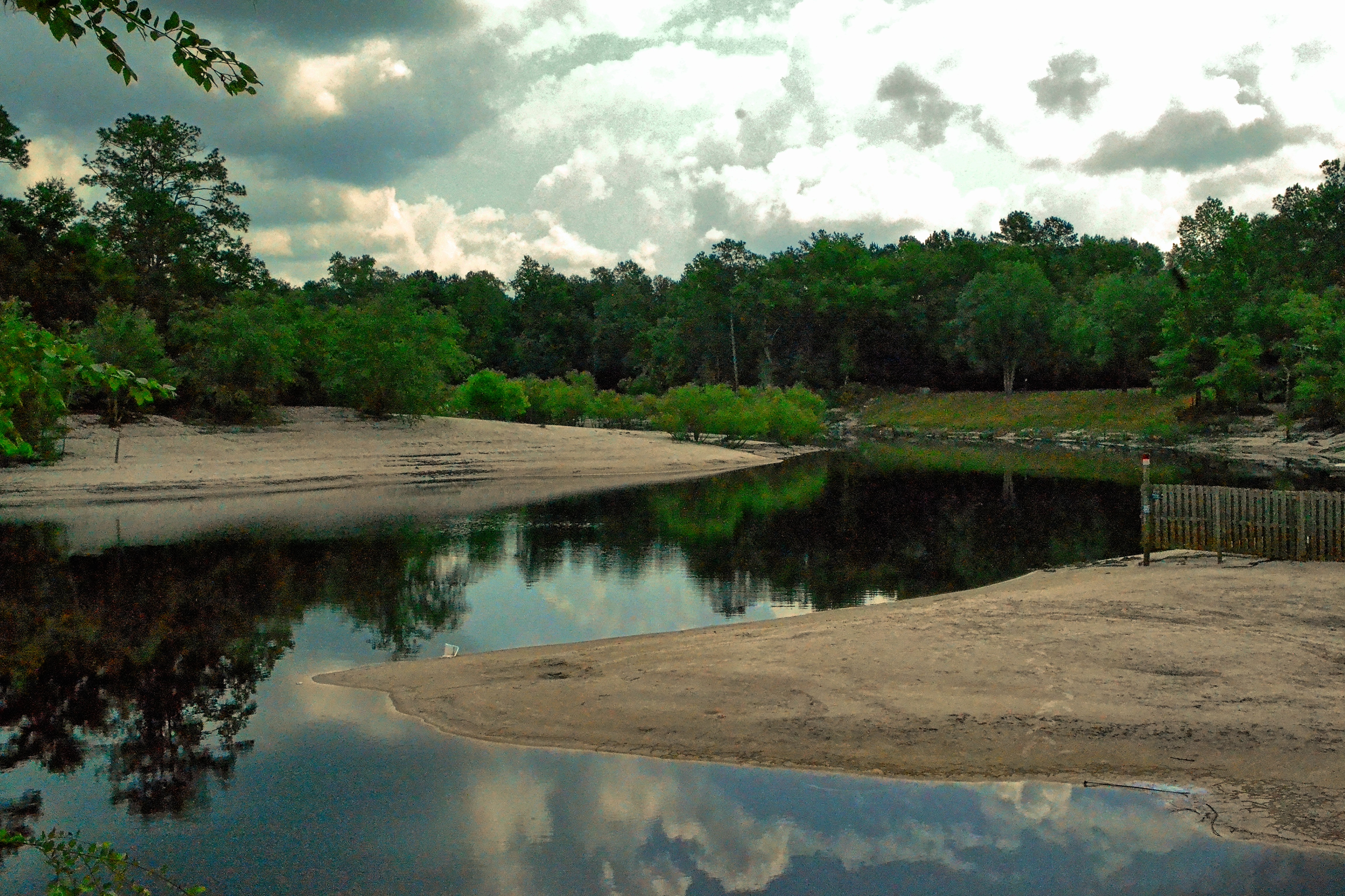
Saint Marys River, Baker County, Florida
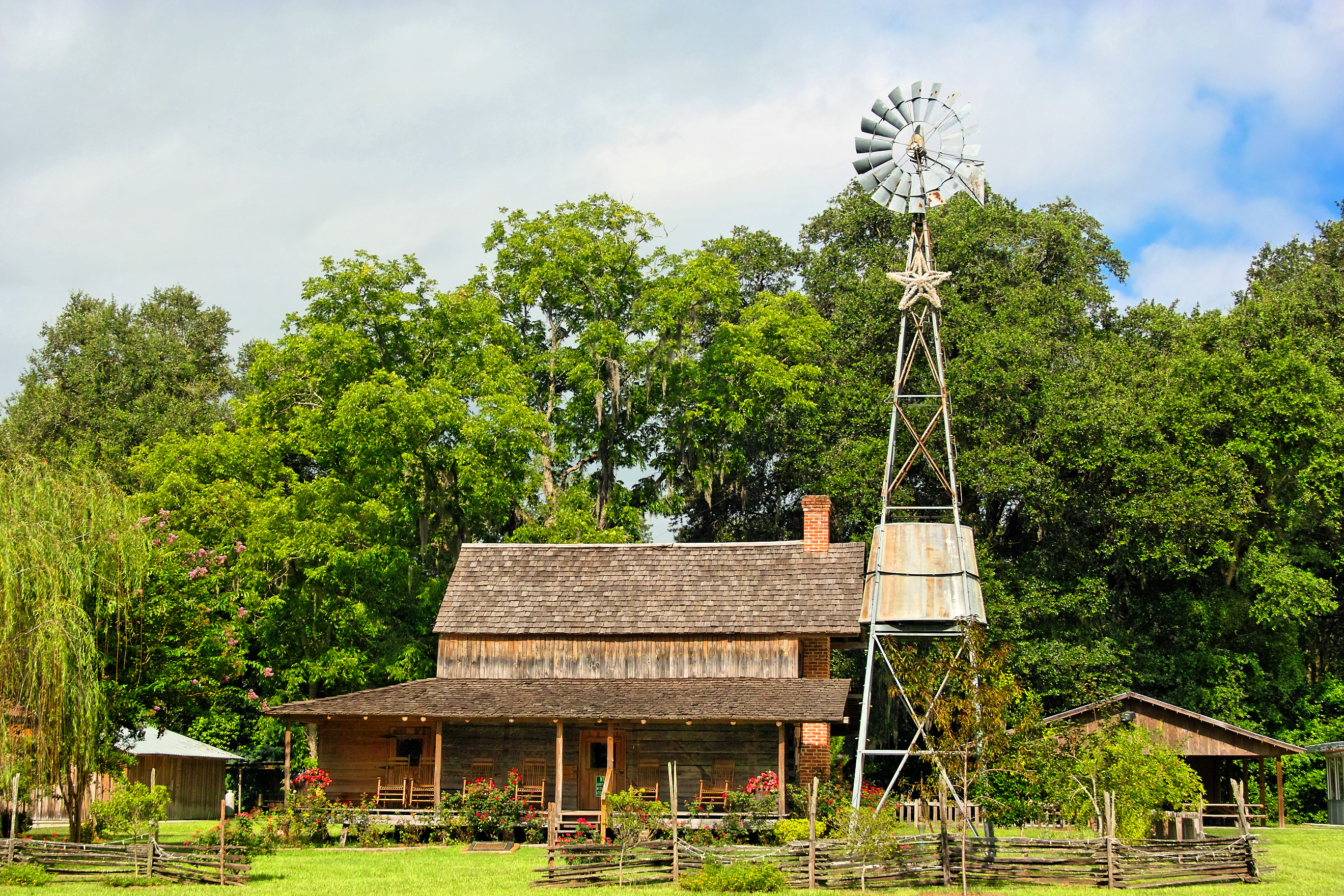
Burnsed Bunkhouse
Topographic Map of Islamorada Dr N, Macclenny, FL, USA
Find elevation by address:

Places near Islamorada Dr N, Macclenny, FL, USA:
Macclenny
10689 Hillside Dr E
Enterprise East Boulevard
4119 Birch St
Hamilton Crews Road
11409 Confederate Ln
6051 Deercreek Ln
Trail Ridge Rv. Trailer Park
6167 Deercreek Ln
14310 N Glen Ave
Bearden Trail
Glen Saint Mary
13434 Brandywine Ln
7714 Glenview Dr
14985 Jesse Yarbrough Rd
Jesse Yarbrough Road
6965 Odis Yarborough Rd
US-90, Glen St Mary, FL, USA
7179 W Smooth Bore Ave
US Hy 90, Bryceville, FL, USA
Recent Searches:
- Elevation of Congressional Dr, Stevensville, MD, USA
- Elevation of Bellview Rd, McLean, VA, USA
- Elevation of Stage Island Rd, Chatham, MA, USA
- Elevation of Shibuya Scramble Crossing, 21 Udagawacho, Shibuya City, Tokyo -, Japan
- Elevation of Jadagoniai, Kaunas District Municipality, Lithuania
- Elevation of Pagonija rock, Kranto 7-oji g. 8"N, Kaunas, Lithuania
- Elevation of Co Rd 87, Jamestown, CO, USA
- Elevation of Tenjo, Cundinamarca, Colombia
- Elevation of Côte-des-Neiges, Montreal, QC H4A 3J6, Canada
- Elevation of Bobcat Dr, Helena, MT, USA