Elevation of Deercreek Ln, Macclenny, FL, USA
Location: United States > Florida > Baker County > Macclenny >
Longitude: -82.144946
Latitude: 30.320938
Elevation: 34m / 112feet
Barometric Pressure: 101KPa
Elevation Map:
Satellite Map:
Related Photos:
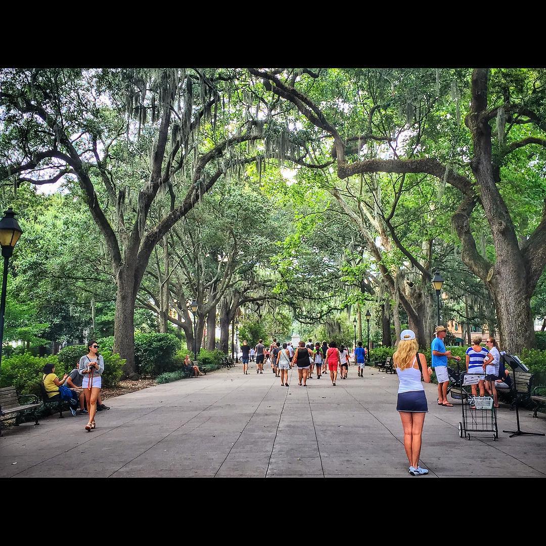
Forsyth Park, Savannah, Georgia #forsythpark #park #savannahgeorgia #georgia #visitsavannah #chathamcountyga #exploregeorgia #thesouthernfront #thegreatercollective #theamericancollective #landscape #landmark #touristattraction #city #view #scene #scenery
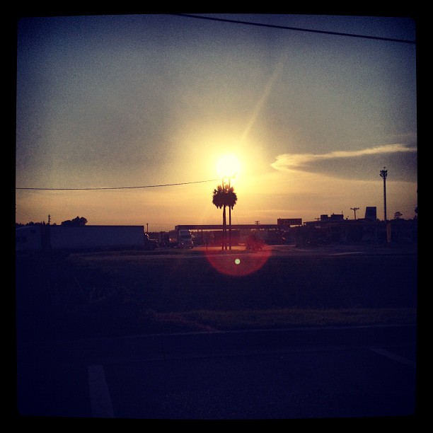
On the road again...
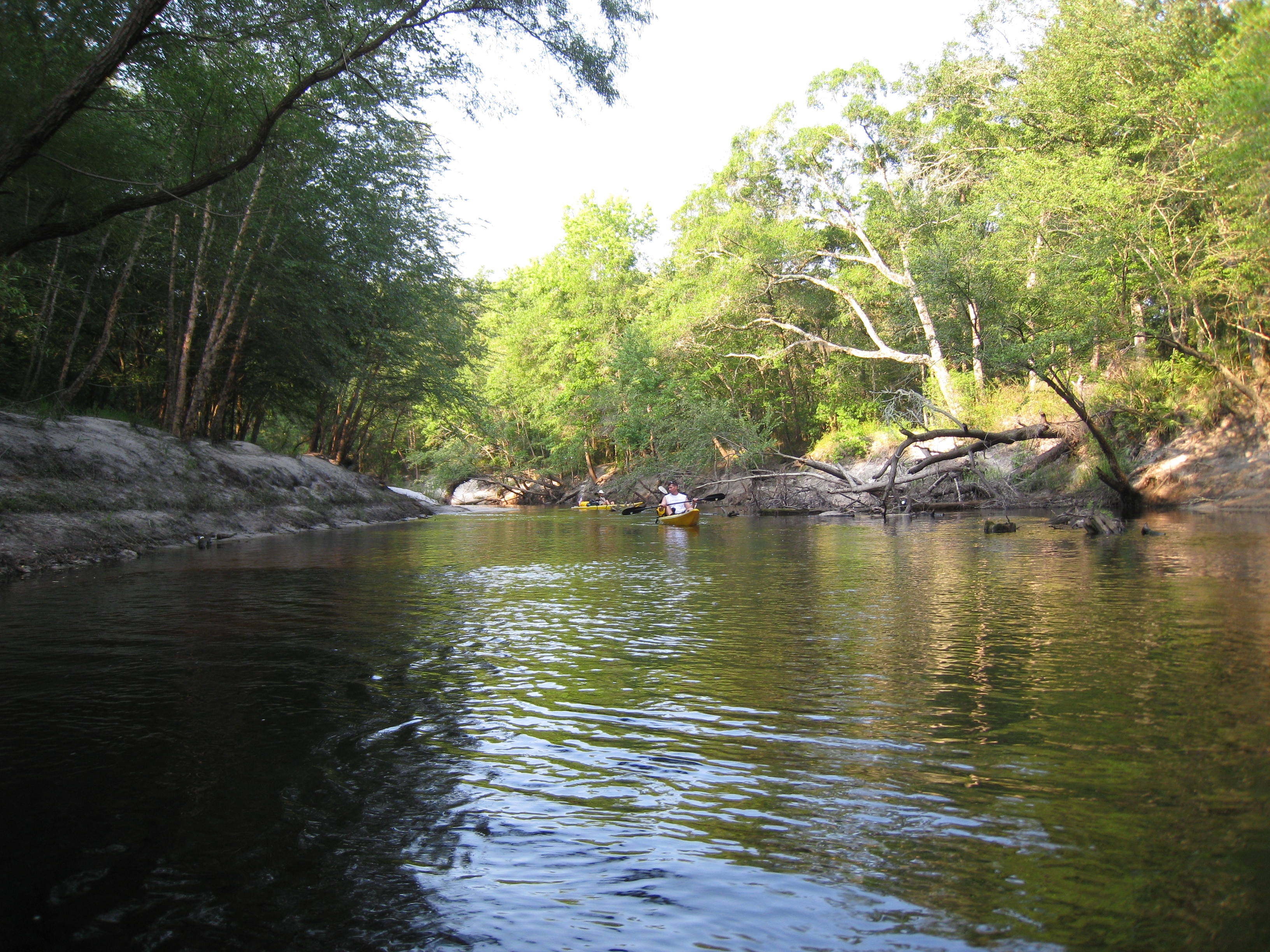
StMarysRiver (16)
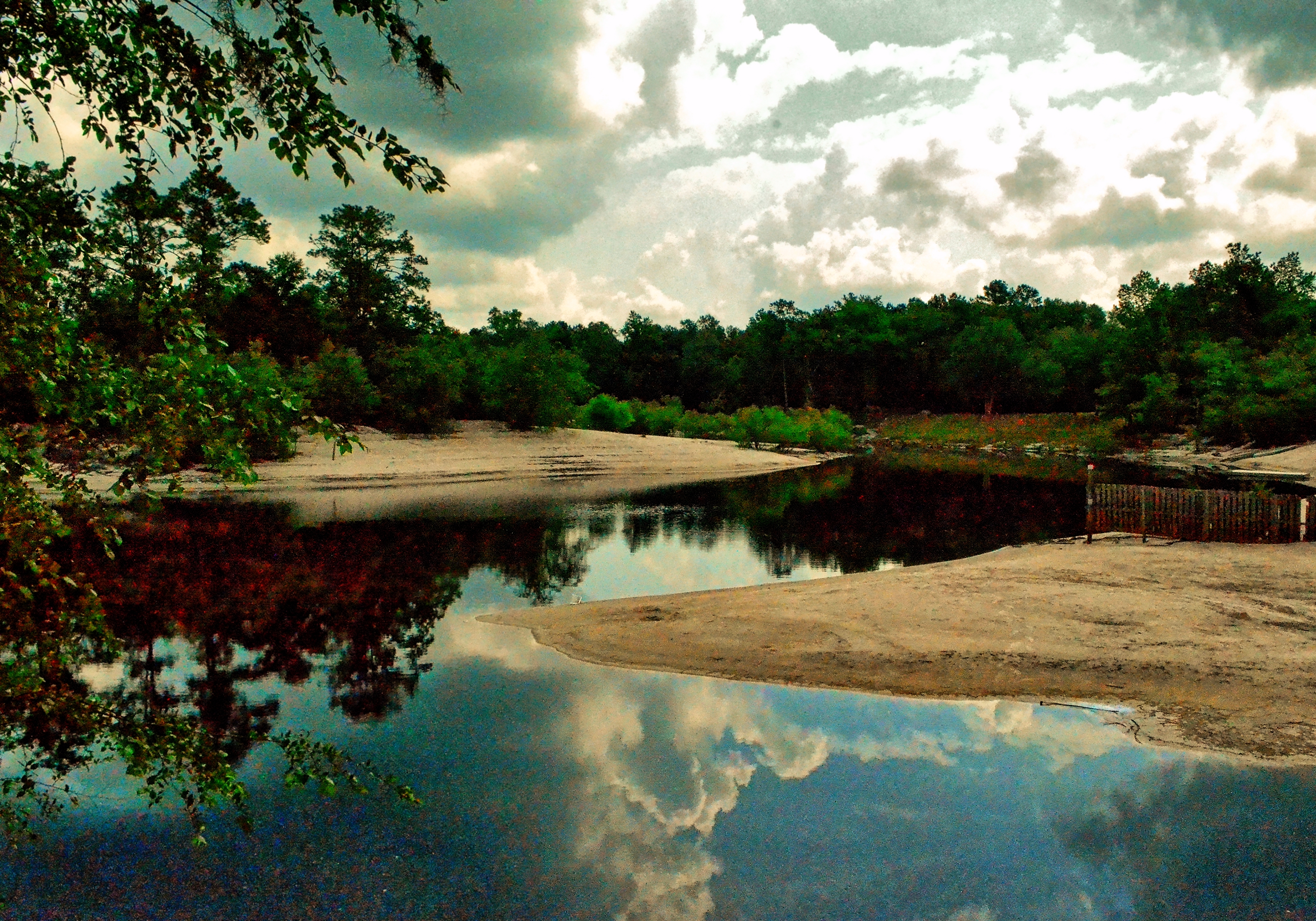
Saint Marys River, Baker County, Florida
stmarys08-9
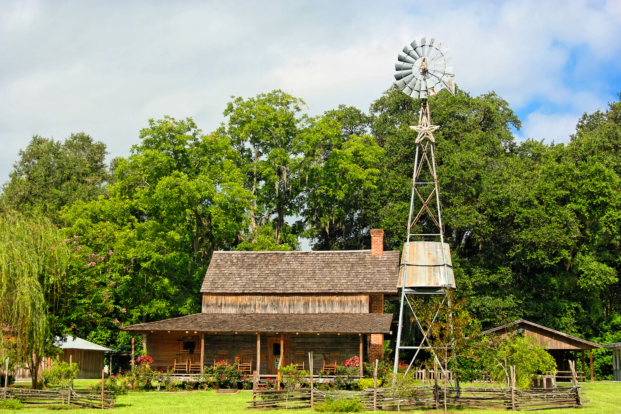
Burnsed Bunkhouse

Old Doors
mayhem-78.jpg
Saint Marys River, Baker County,Florida
mayhem-1.jpg
mayhem-2.jpg

Under the Stokes Road Bridge
Worn and Torn

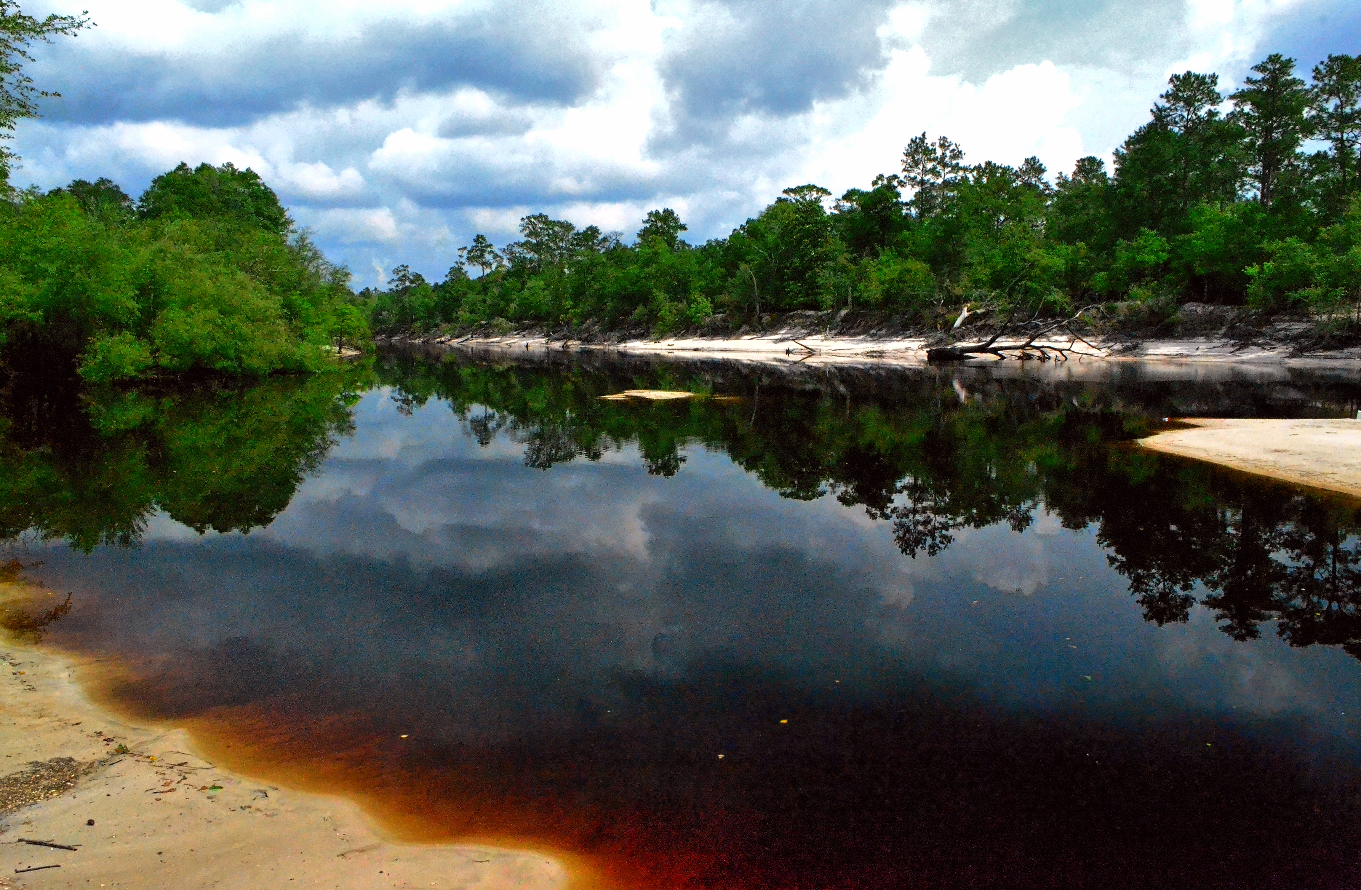
Saint Marys River, Baker County, Florida
Saint Marys River, Baker County, Florida

Rainbow Road
Topographic Map of Deercreek Ln, Macclenny, FL, USA
Find elevation by address:

Places near Deercreek Ln, Macclenny, FL, USA:
6051 Deercreek Ln
13434 Brandywine Ln
Bearden Trail
Jesse Yarbrough Road
14985 Jesse Yarbrough Rd
6965 Odis Yarborough Rd
11409 Confederate Ln
7179 W Smooth Bore Ave
10689 Hillside Dr E
14310 N Glen Ave
517 Islamorada Dr N
Macclenny
Hamilton Crews Road
Glen Saint Mary
4683 Shaves Bluff Rd
7714 Glenview Dr
US-90, Glen St Mary, FL, USA
Enterprise East Boulevard
2860 Farley Rd
2601 Farley Rd
Recent Searches:
- Elevation of Congressional Dr, Stevensville, MD, USA
- Elevation of Bellview Rd, McLean, VA, USA
- Elevation of Stage Island Rd, Chatham, MA, USA
- Elevation of Shibuya Scramble Crossing, 21 Udagawacho, Shibuya City, Tokyo -, Japan
- Elevation of Jadagoniai, Kaunas District Municipality, Lithuania
- Elevation of Pagonija rock, Kranto 7-oji g. 8"N, Kaunas, Lithuania
- Elevation of Co Rd 87, Jamestown, CO, USA
- Elevation of Tenjo, Cundinamarca, Colombia
- Elevation of Côte-des-Neiges, Montreal, QC H4A 3J6, Canada
- Elevation of Bobcat Dr, Helena, MT, USA