Elevation of Iroquois County, IL, USA
Location: United States > Illinois >
Longitude: -87.697554
Latitude: 40.7740275
Elevation: 200m / 656feet
Barometric Pressure: 99KPa
Elevation Map:
Satellite Map:
Related Photos:
Old Boxcars Never Die, They Just Fade Away

Milw / TP&W Webster Tower
Milwaukee Road/TP&W Crossing, Webster, Illinois
Illinois Central #4035 Sheldon, Illinois
TP&W Depot Effner, Indiana
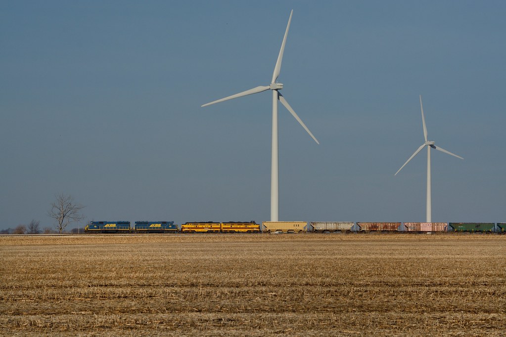
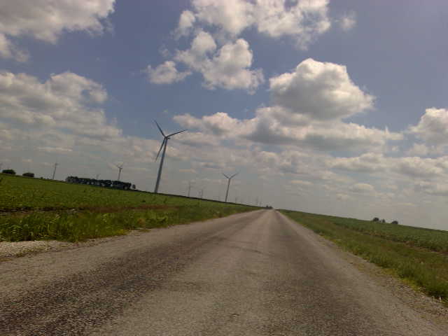
Geeps, F's and Turbines

Blue Steel took a picture!
Blue Steel took a picture!
Blue Steel took a picture!
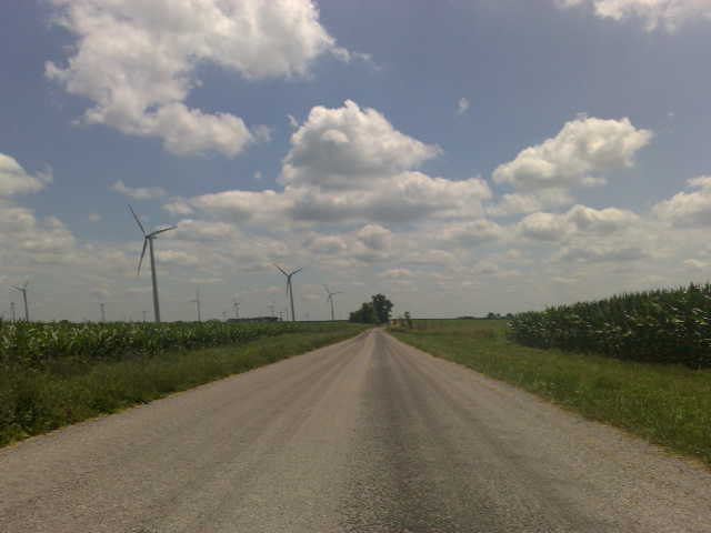
Blue Steel took a picture!
Blue Steel took a picture!
Blue Steel took a picture!
Blue Steel took a picture!
Blue Steel took a picture!

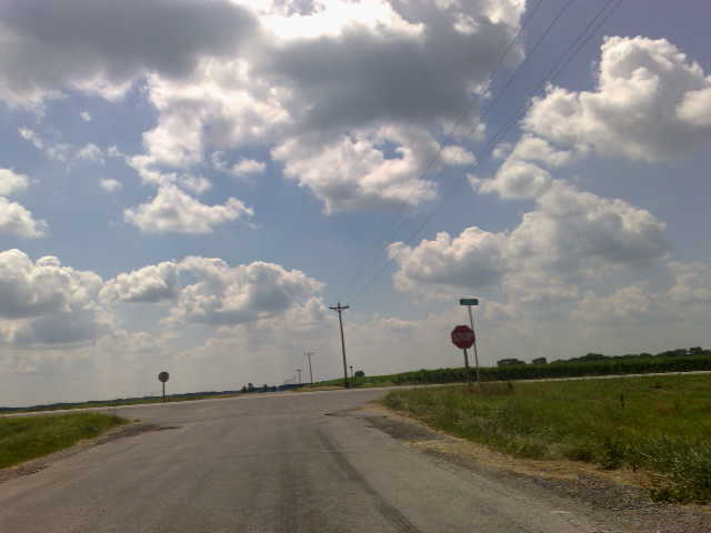
23. Corn
Blue Steel took a picture!

20120324 049 CSX near Martinton, Illinois
20120324 059 Woodland, Illinois
20120324 053 near Watseka, Illinois

20120324 052 near Watseka, Illinois
Blue Steel took a picture!

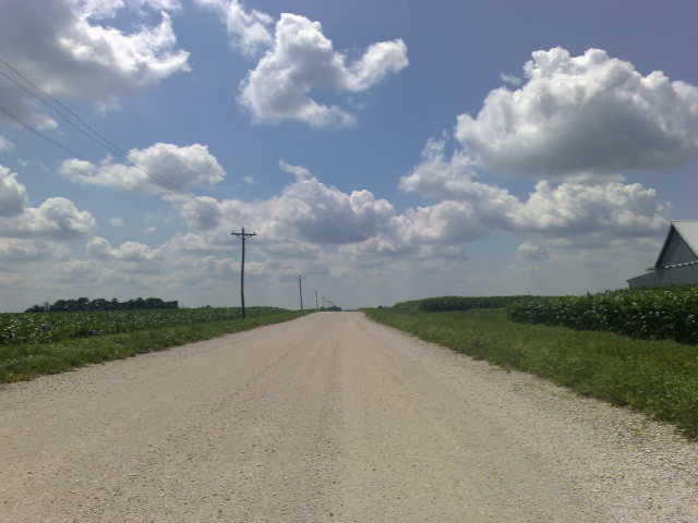
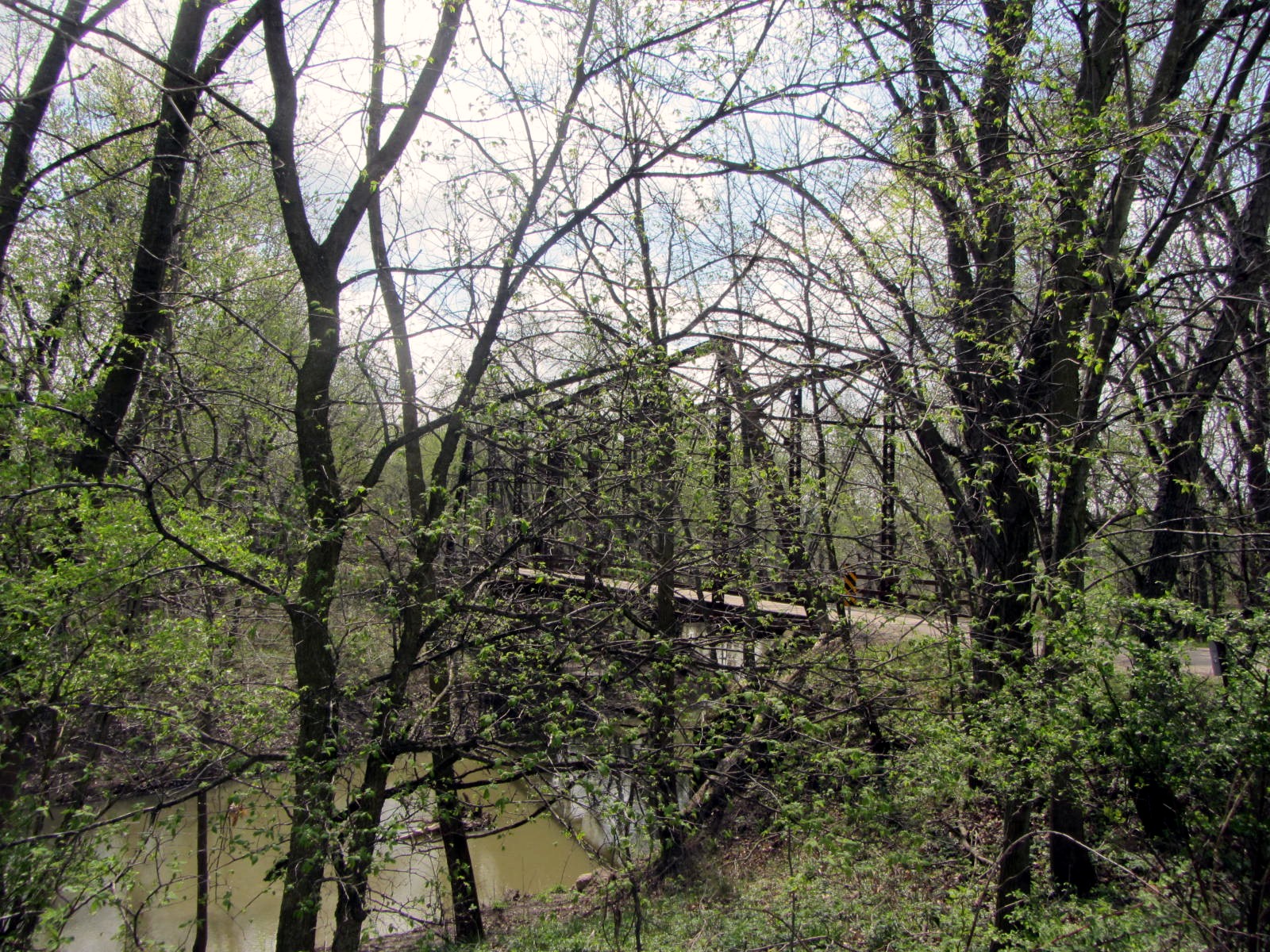
24. Pole Position
Topographic Map of Iroquois County, IL, USA
Find elevation by address:

Places in Iroquois County, IL, USA:
Middleport Township
Martinton Township
Loda Township
Artesia Township
Belmont Township
Beaver Township
Beaverville Township
Pigeon Grove Township
Onarga Township
Crescent City
Stockland
Sheldon
Douglas Township
Places near Iroquois County, IL, USA:
W Walnut St, Watseka, IL, USA
Watseka
Belmont Township
Half St, Watseka, IL, USA
Woodland
Sheldon
Crescent City
Stockland
York Township
Kentland
W N, Earl Park, IN, USA
W 44 N, Fowler, IN, USA
Onarga Township
IN-18, Fowler, IN, USA
Cissna Park
IL-49, Cissna Park, IL, USA
Gilman
Parish Grove Township
S Chestnut St, Earl Park, IN, USA
Earl Park
Recent Searches:
- Elevation of Corso Fratelli Cairoli, 35, Macerata MC, Italy
- Elevation of Tallevast Rd, Sarasota, FL, USA
- Elevation of 4th St E, Sonoma, CA, USA
- Elevation of Black Hollow Rd, Pennsdale, PA, USA
- Elevation of Oakland Ave, Williamsport, PA, USA
- Elevation of Pedrógão Grande, Portugal
- Elevation of Klee Dr, Martinsburg, WV, USA
- Elevation of Via Roma, Pieranica CR, Italy
- Elevation of Tavkvetili Mountain, Georgia
- Elevation of Hartfords Bluff Cir, Mt Pleasant, SC, USA