Elevation of W Walnut St, Watseka, IL, USA
Location: United States > Illinois > Iroquois County > Middleport Township > Watseka >
Longitude: -87.735866
Latitude: 40.775887
Elevation: 193m / 633feet
Barometric Pressure: 99KPa
Elevation Map:
Satellite Map:
Related Photos:

Milw / TP&W Webster Tower
Old Boxcars Never Die, They Just Fade Away
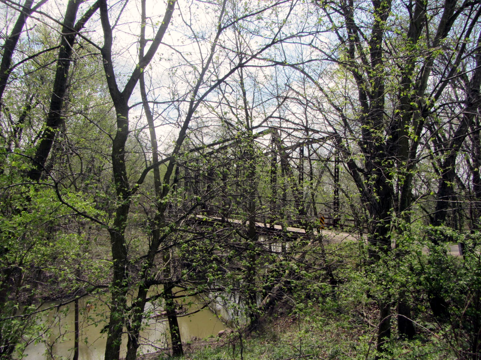
Milwaukee Road/TP&W Crossing, Webster, Illinois
Illinois Central #4035 Sheldon, Illinois
Geeps, F's and Turbines
Blue Steel took a picture!
Blue Steel took a picture!
Blue Steel took a picture!
Blue Steel took a picture!
TP&W Memories
Blue Steel took a picture!
Blue Steel took a picture!

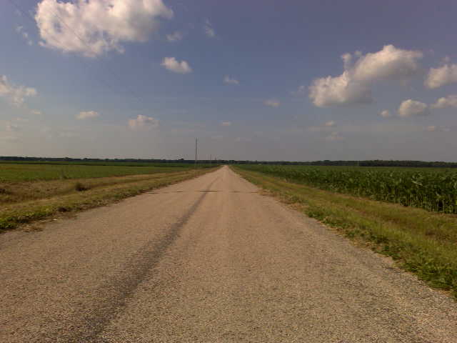
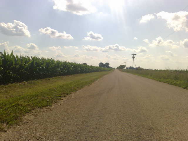
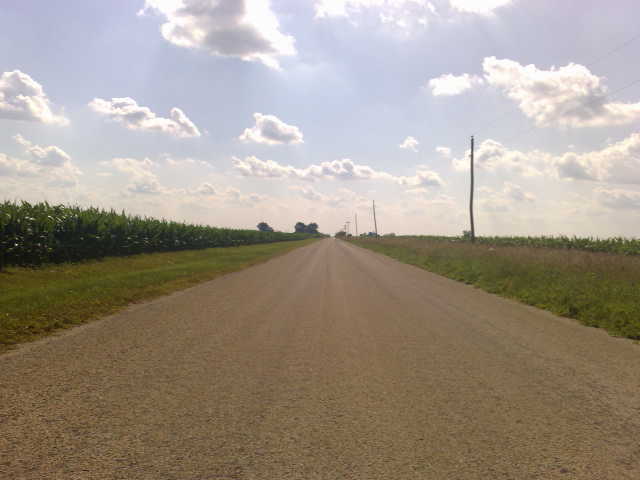
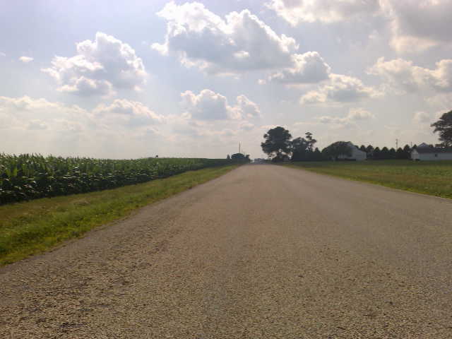
23. Corn
Blue Steel took a picture!

20120324 049 CSX near Martinton, Illinois
Blue Steel took a picture!
Blue Steel took a picture!
Blue Steel took a picture!
Blue Steel took a picture!
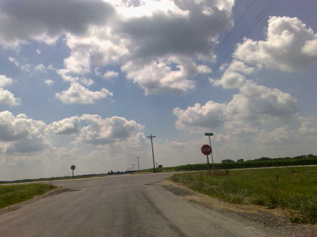
20120324 059 Woodland, Illinois
Blue Steel took a picture!
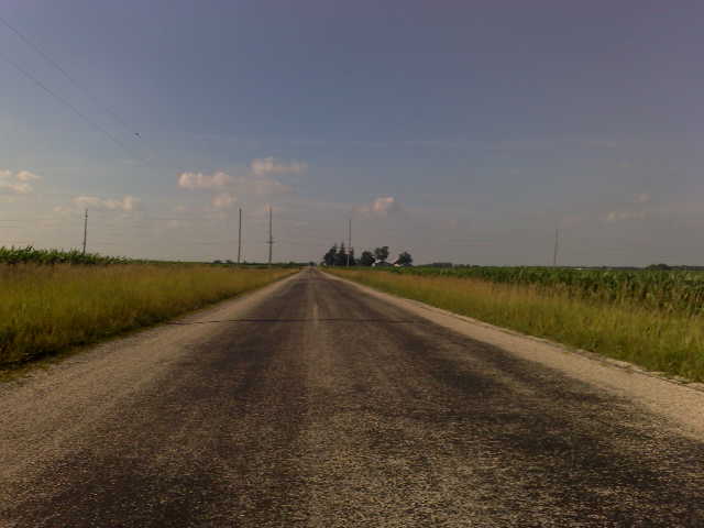
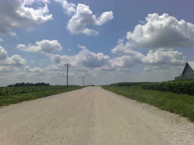
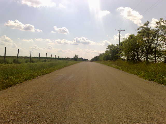
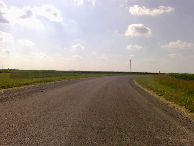
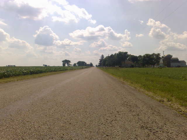
20120324 053 near Watseka, Illinois

20120324 052 near Watseka, Illinois
Blue Steel took a picture!
Topographic Map of W Walnut St, Watseka, IL, USA
Find elevation by address:

Places near W Walnut St, Watseka, IL, USA:
Watseka
Iroquois County
Half St, Watseka, IL, USA
Woodland
Belmont Township
Crescent City
Sheldon
Stockland
Onarga Township
Gilman
Cissna Park
York Township
Douglas Township
IL-49, Cissna Park, IL, USA
N Oak St, Onarga, IL, USA
Onarga
Kentland
W 44 N, Fowler, IN, USA
W N, Earl Park, IN, USA
Hoopeston
Recent Searches:
- Elevation of Corso Fratelli Cairoli, 35, Macerata MC, Italy
- Elevation of Tallevast Rd, Sarasota, FL, USA
- Elevation of 4th St E, Sonoma, CA, USA
- Elevation of Black Hollow Rd, Pennsdale, PA, USA
- Elevation of Oakland Ave, Williamsport, PA, USA
- Elevation of Pedrógão Grande, Portugal
- Elevation of Klee Dr, Martinsburg, WV, USA
- Elevation of Via Roma, Pieranica CR, Italy
- Elevation of Tavkvetili Mountain, Georgia
- Elevation of Hartfords Bluff Cir, Mt Pleasant, SC, USA