Elevation of Beaverville Township, IL, USA
Location: United States > Illinois > Iroquois County >
Longitude: -87.608763
Latitude: 40.9642584
Elevation: 194m / 636feet
Barometric Pressure: 99KPa
Elevation Map:
Satellite Map:
Related Photos:
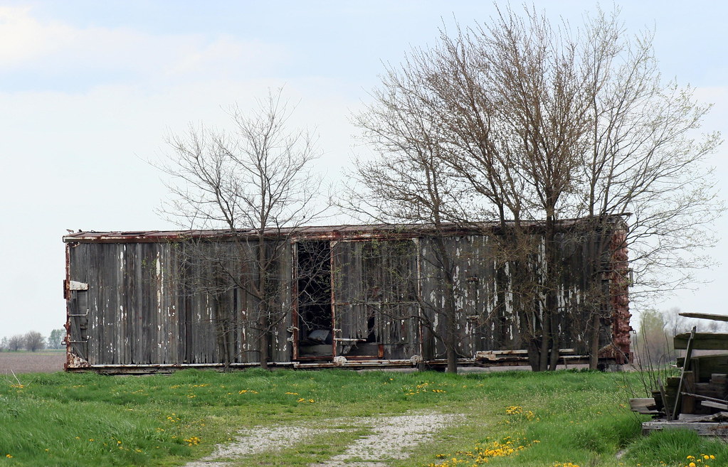
Old Boxcars Never Die, They Just Fade Away

The View From My Room

Morocco 3/20/2013 - 1

Helen Rasher at NYC Morocco Depot

20120324 049 CSX near Martinton, Illinois
St. Mary Catholic Church, Beaverville, IL
Country winter morning
St. Mary Catholic Church, Beaverville, IL

22. Sunny Days
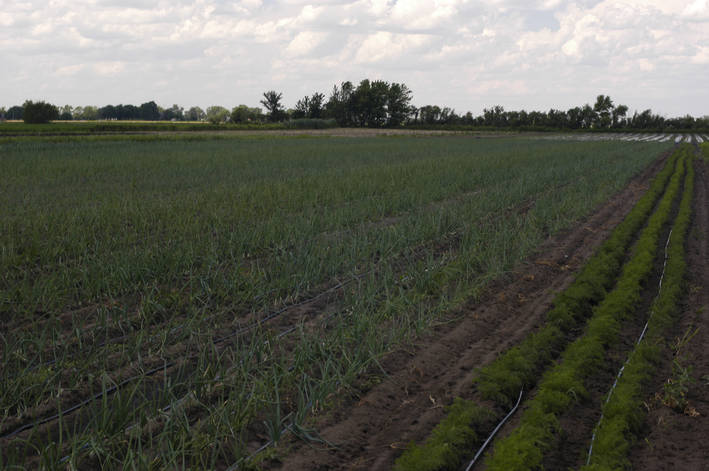
FarmParty - 70
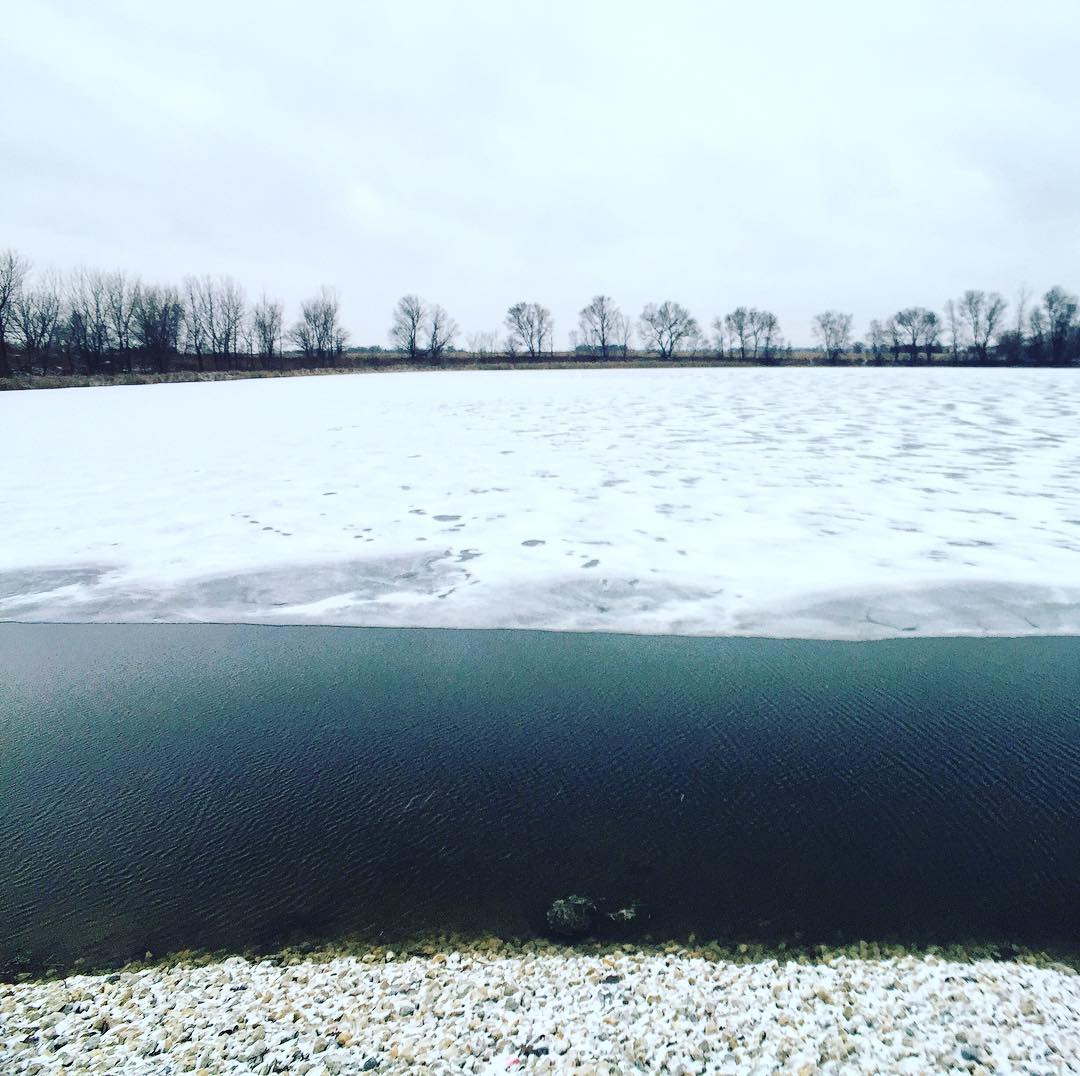
Snowy winter morning at Cote Lake
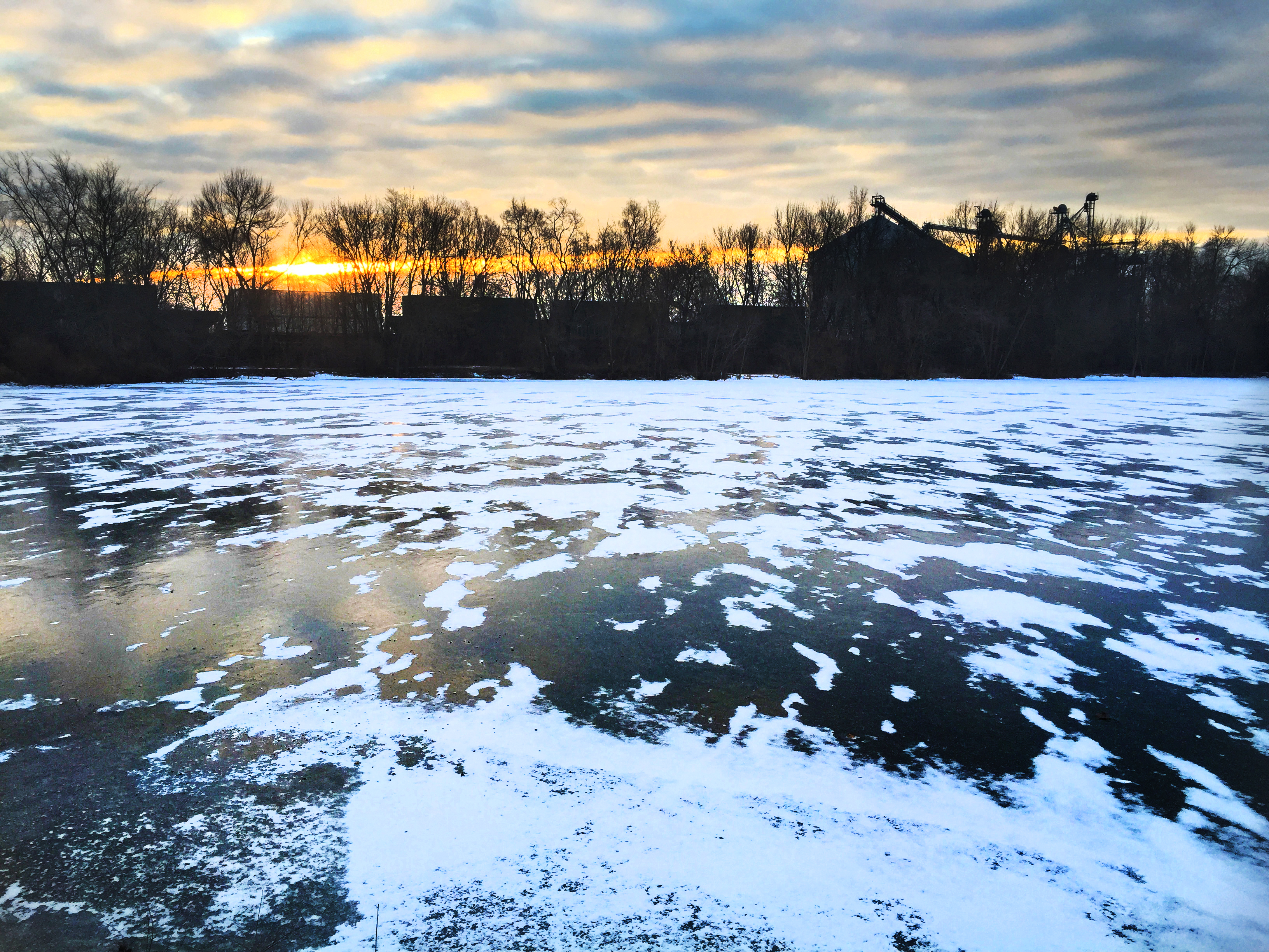
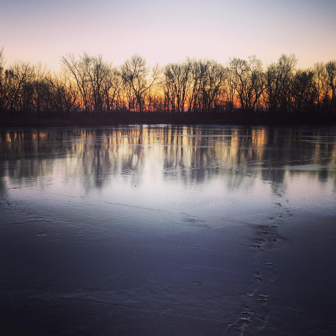
Cote Lake Sunrise
Bald Eagles

Q-645 at MP 55.7 - Wichert
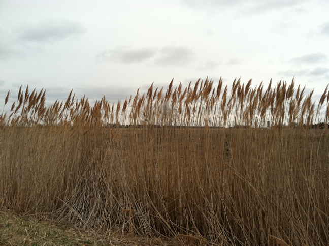
Common reed
Topographic Map of Beaverville Township, IL, USA
Find elevation by address:

Places in Beaverville Township, IL, USA:
Places near Beaverville Township, IL, USA:
E Rd S, St Anne, IL, USA
E Rd S, St Anne, IL, USA
Pembroke Township
Hopkins Park
E Central Ave, St Anne, IL, USA
Saint Anne
St. Anne Township
E Rd S, St Anne, IL, USA
S Wichert North Rd, Momence, IL, USA
7828 S 6000e Rd
Aroma Township
S Sugar Island Rd, Chebanse, IL, USA
Aroma Park
Waldron Rd, Kankakee, IL, USA
3281 Waldron Rd
3281 Waldron Rd
3281 Waldron Rd
3281 Waldron Rd
3281 Waldron Rd
Kankakee Township
Recent Searches:
- Elevation of Great Brook Sports, Gold Star Hwy, Groton, CT, USA
- Elevation of 10 Mountain Laurels Dr, Nashua, NH, USA
- Elevation of 16 Gilboa Ln, Nashua, NH, USA
- Elevation of Laurel Rd, Townsend, TN, USA
- Elevation of 3 Nestling Wood Dr, Long Valley, NJ, USA
- Elevation of Ilungu, Tanzania
- Elevation of Yellow Springs Road, Yellow Springs Rd, Chester Springs, PA, USA
- Elevation of Rēzekne Municipality, Latvia
- Elevation of Plikpūrmaļi, Vērēmi Parish, Rēzekne Municipality, LV-, Latvia
- Elevation of 2 Henschke Ct, Caboolture QLD, Australia