Elevation of Indiana St, Tamms, IL, USA
Location: United States > Illinois > Alexander County > Tamms Precinct > Tamms >
Longitude: -89.264217
Latitude: 37.2383477
Elevation: 101m / 331feet
Barometric Pressure: 100KPa
Elevation Map:
Satellite Map:
Related Photos:
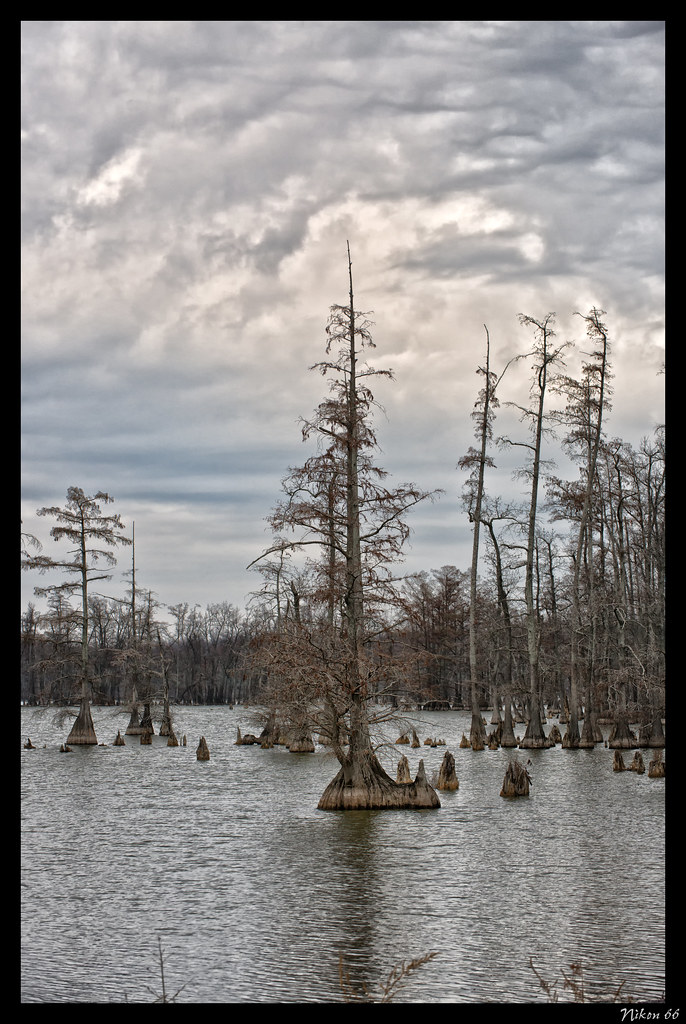
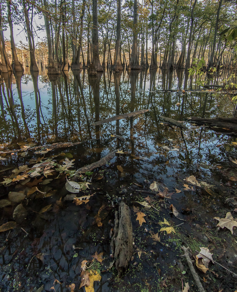
Cypress Trees - Horseshoe Lake State Fish & Wildlife Area

Eastern Bluebird
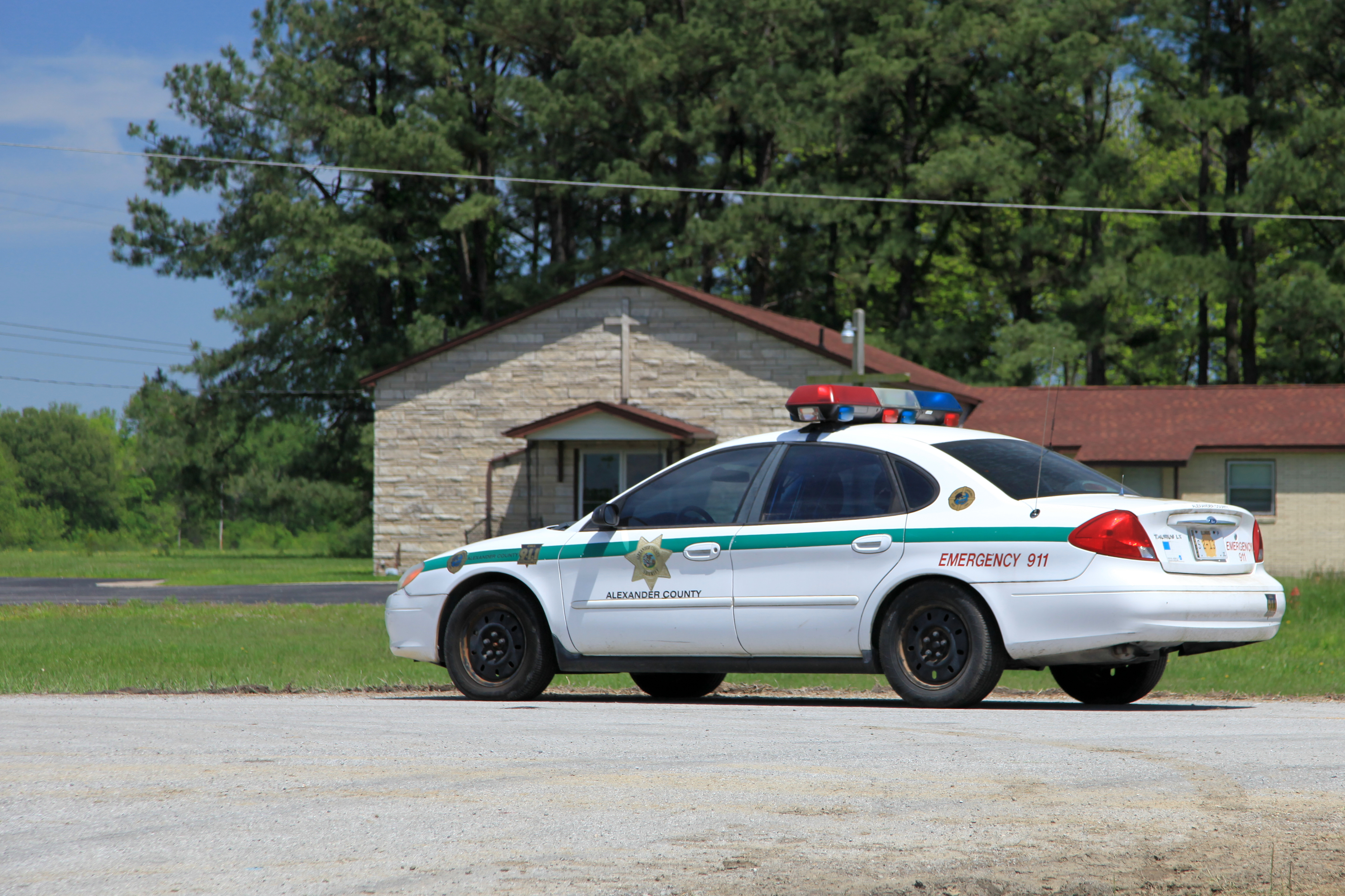
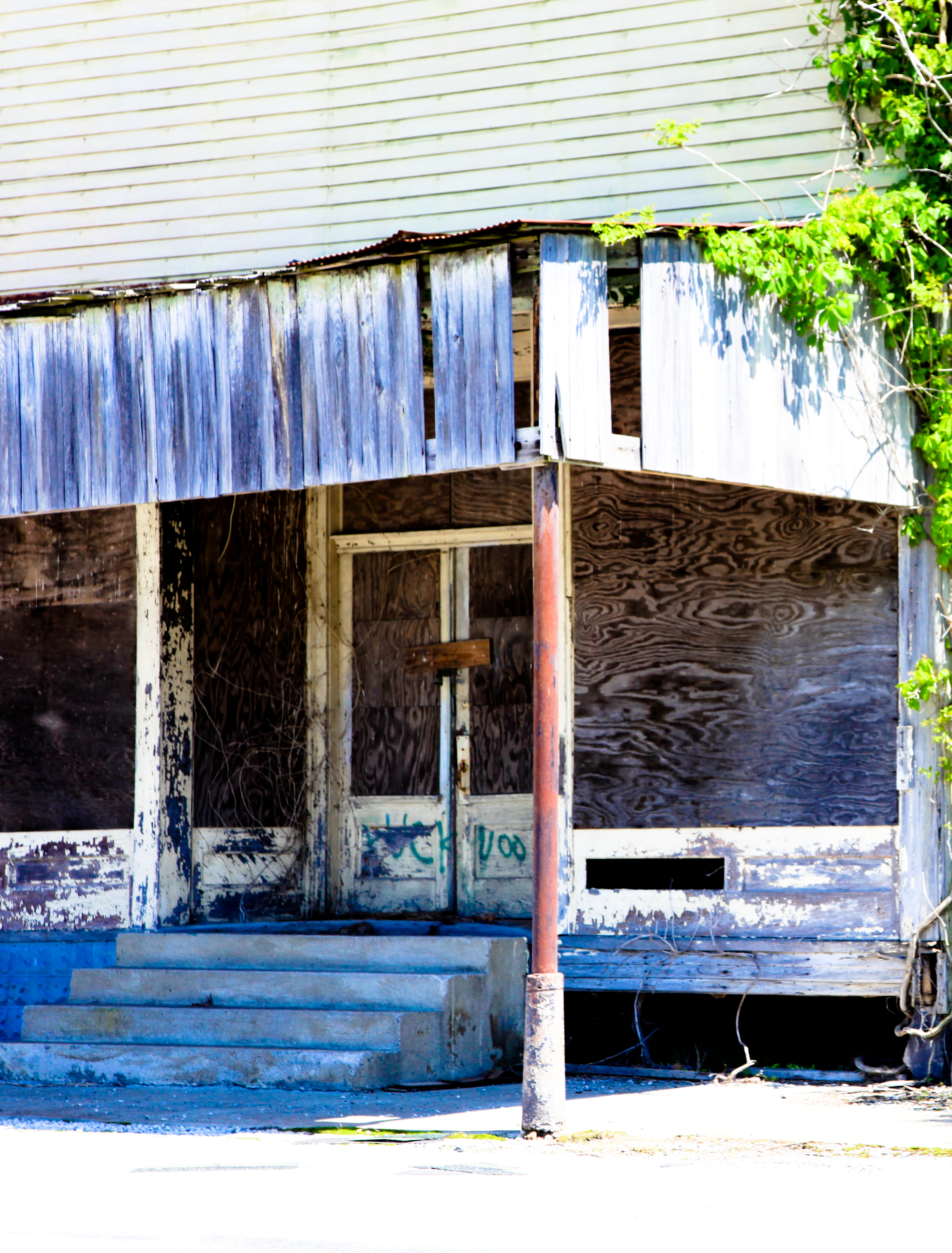
Tamms, IL

Dry and frozen forest/Floresta seca e congelada

IMG_9101-482
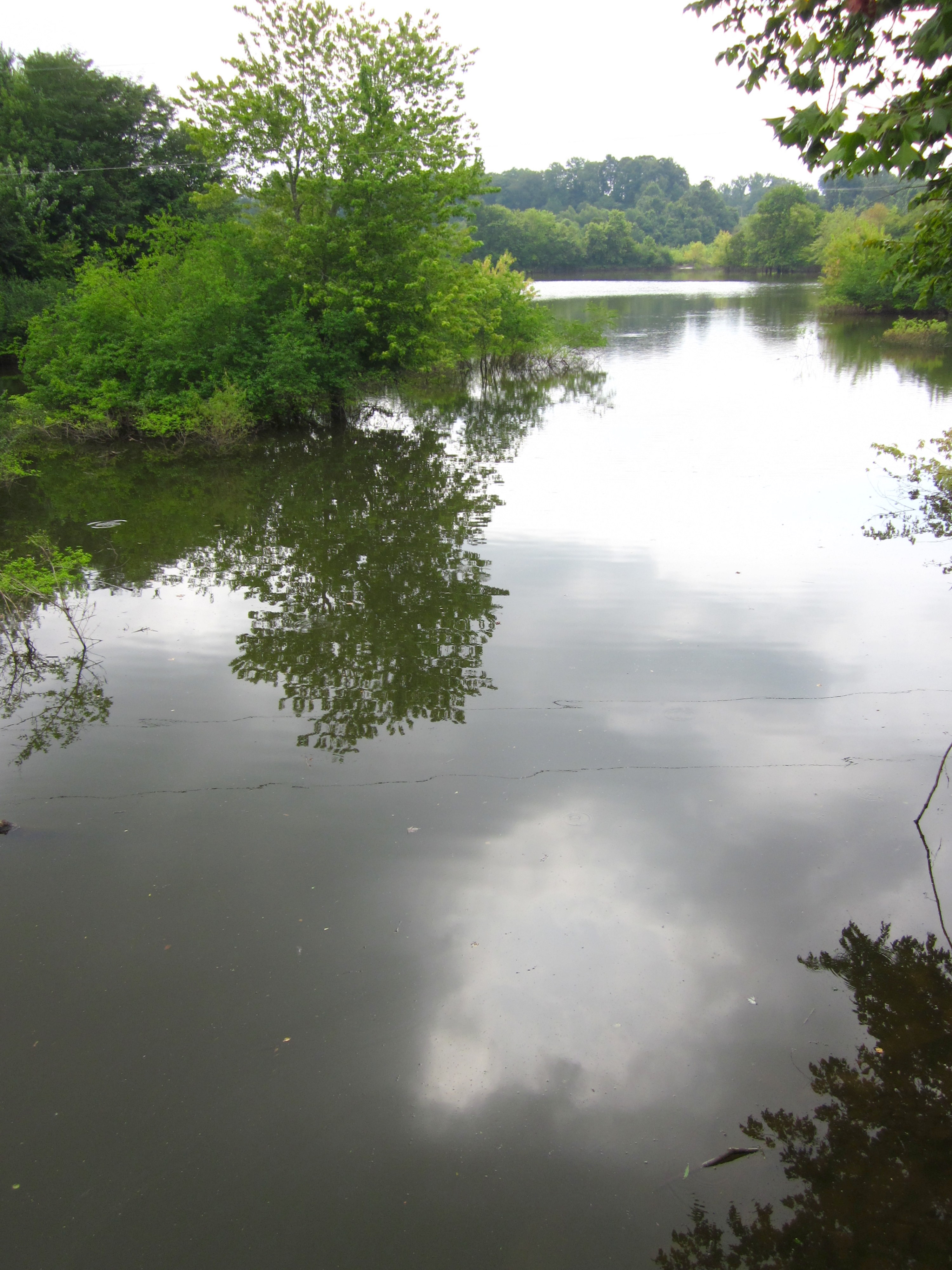
Dock On Dongola Lake
Tour de Shawnee
IMG_9090-467

Sexton Creek Wetlands

IMG_9062-461

IMG_9077-490

Robin birdwatching

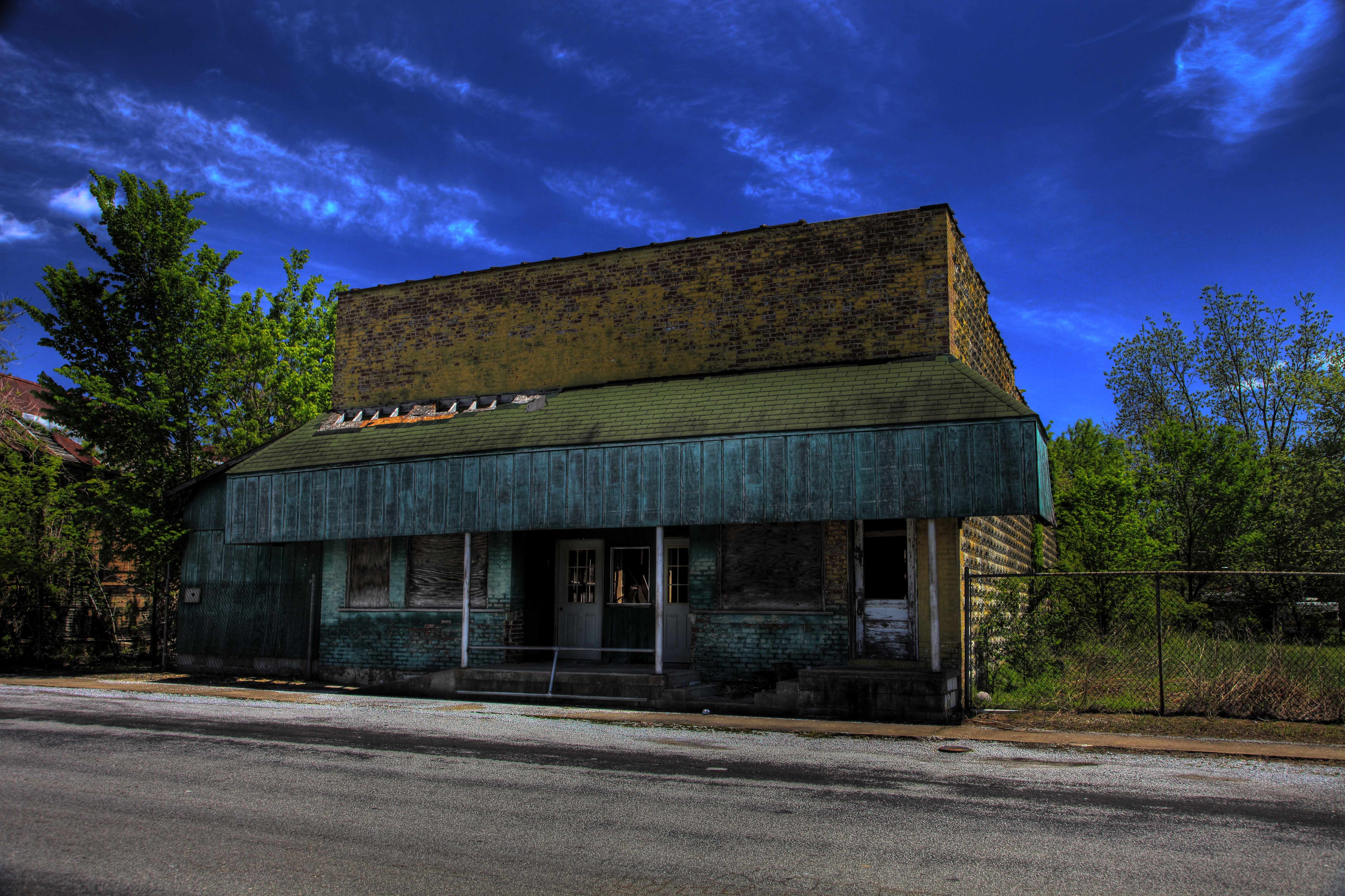
Thrift and Vintage
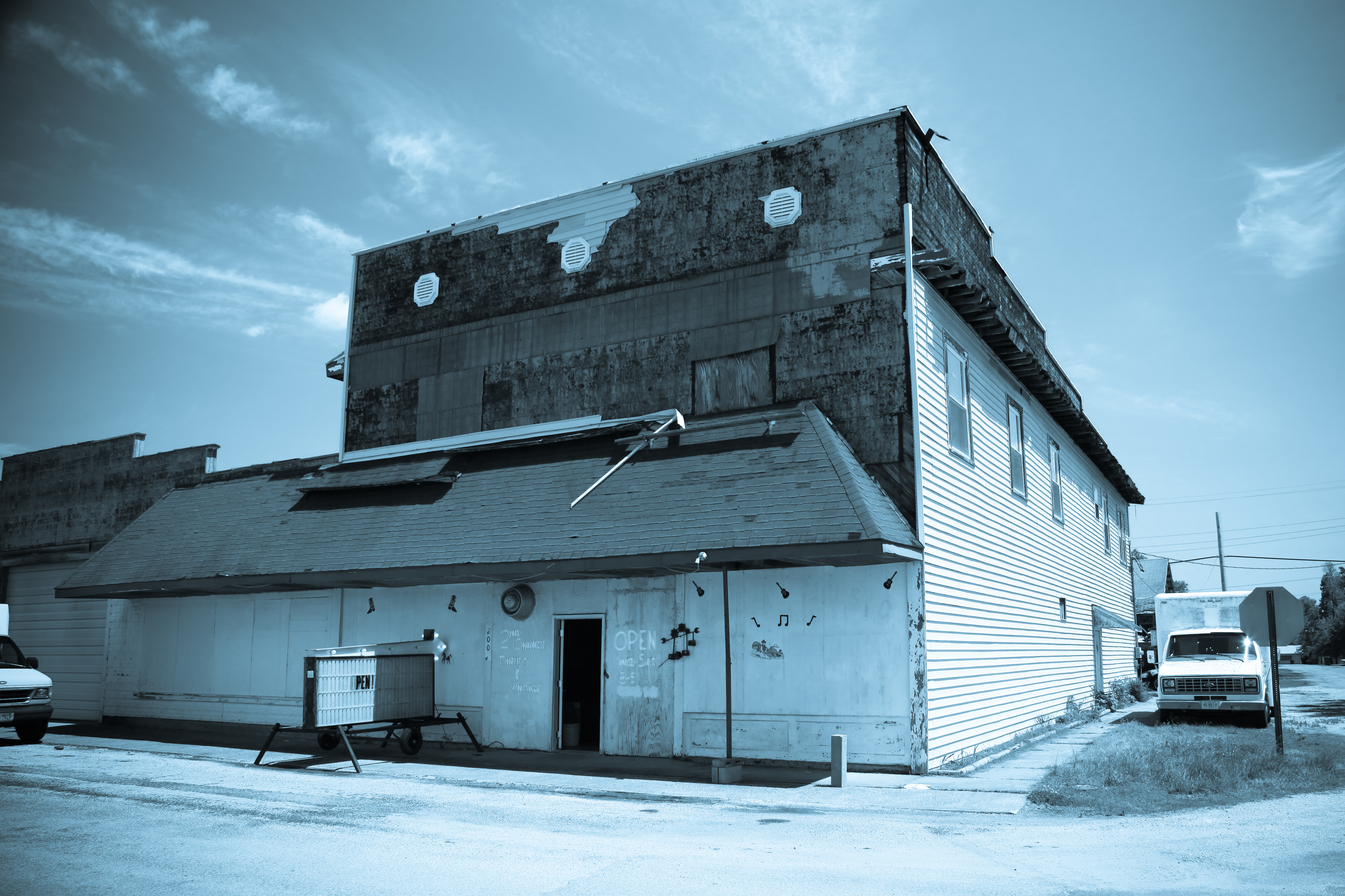
Tamms 450 HDR
TDF/2 Stage 14
IMG_9070-471
Entrance - IMG_9064

Carwash -IMG_9099-481

KJ0A1495-1

KJ0A1506-1
KJ0A1394-1

KJ0A1437-1

KJ0A1569-1
Topographic Map of Indiana St, Tamms, IL, USA
Find elevation by address:

Places near Indiana St, Tamms, IL, USA:
Front St, Tamms, IL, USA
Tamms
Tamms Precinct
Bridge St, Tamms, IL, USA
Locust St, Ullin, IL, USA
Ullin
High St, Mill Creek, IL, USA
Villa Ridge
Olive Branch
Ullin
Alexander County
Olive Branch Precinct
Old U.S. 51, Mounds, IL, USA
Pulaski County
Mounds Precinct
39 Mayberry Ln
Mounds
1st St, Mounds, IL, USA
1401 Mounds Rd
Dongola
Recent Searches:
- Elevation of Elwyn Dr, Roanoke Rapids, NC, USA
- Elevation of Congressional Dr, Stevensville, MD, USA
- Elevation of Bellview Rd, McLean, VA, USA
- Elevation of Stage Island Rd, Chatham, MA, USA
- Elevation of Shibuya Scramble Crossing, 21 Udagawacho, Shibuya City, Tokyo -, Japan
- Elevation of Jadagoniai, Kaunas District Municipality, Lithuania
- Elevation of Pagonija rock, Kranto 7-oji g. 8"N, Kaunas, Lithuania
- Elevation of Co Rd 87, Jamestown, CO, USA
- Elevation of Tenjo, Cundinamarca, Colombia
- Elevation of Côte-des-Neiges, Montreal, QC H4A 3J6, Canada