Elevation of Pulaski County, IL, USA
Location: United States > Illinois >
Longitude: -89.132486
Latitude: 37.2512419
Elevation: 120m / 394feet
Barometric Pressure: 100KPa
Elevation Map:
Satellite Map:
Related Photos:

Eastern Bluebird

Prothonotary Warbler at Section 8 Woods Nature Preserve

Path of Trees

IMG_9090-467

October Rush

Entrance - IMG_9064

Lucerne Moth Nomophila nearctica (Hodges#5156) ky_0816
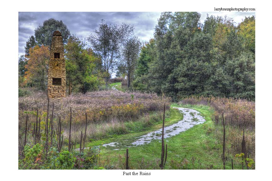
Past the Ruins
Tamms, IL

House in the Trees

IMG_9101-482

IMG_9062-461

IMG_9077-490

Dock On Dongola Lake

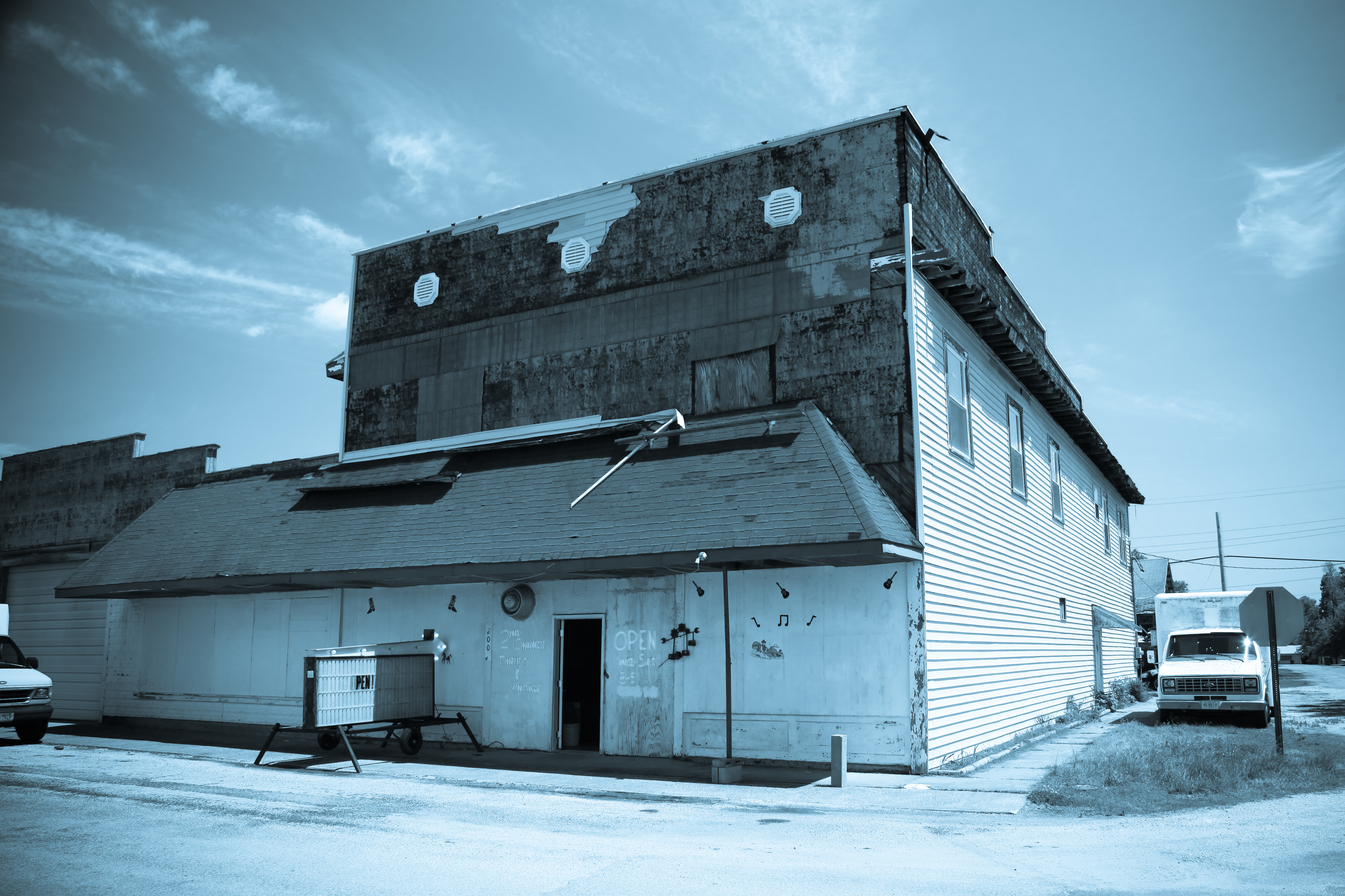
Thrift and Vintage

Tamms 450 HDR
IMG_9070-471

Carwash -IMG_9099-481
Topographic Map of Pulaski County, IL, USA
Find elevation by address:

Places in Pulaski County, IL, USA:
Places near Pulaski County, IL, USA:
Ullin
Locust St, Ullin, IL, USA
Ullin
Olmsted Lock & Dam
Villa Ridge
SE Front St, Dongola, IL, USA
Dongola
America Preinct
1401 Mounds Rd
Old River Rd, Villa Ridge, IL, USA
125 Indiana St
Front St, Tamms, IL, USA
Old U.S. 51, Mounds, IL, USA
Tamms
Bridge St, Tamms, IL, USA
Mounds
1st St, Mounds, IL, USA
High St, Mill Creek, IL, USA
Mound City Precinct
Ohio River Scenic Byway, Mound City, IL, USA
Recent Searches:
- Elevation of Corso Fratelli Cairoli, 35, Macerata MC, Italy
- Elevation of Tallevast Rd, Sarasota, FL, USA
- Elevation of 4th St E, Sonoma, CA, USA
- Elevation of Black Hollow Rd, Pennsdale, PA, USA
- Elevation of Oakland Ave, Williamsport, PA, USA
- Elevation of Pedrógão Grande, Portugal
- Elevation of Klee Dr, Martinsburg, WV, USA
- Elevation of Via Roma, Pieranica CR, Italy
- Elevation of Tavkvetili Mountain, Georgia
- Elevation of Hartfords Bluff Cir, Mt Pleasant, SC, USA