Elevation of Alexander County, IL, USA
Location: United States > Illinois >
Longitude: -89.360629
Latitude: 37.1670164
Elevation: 105m / 344feet
Barometric Pressure: 100KPa
Elevation Map:
Satellite Map:
Related Photos:
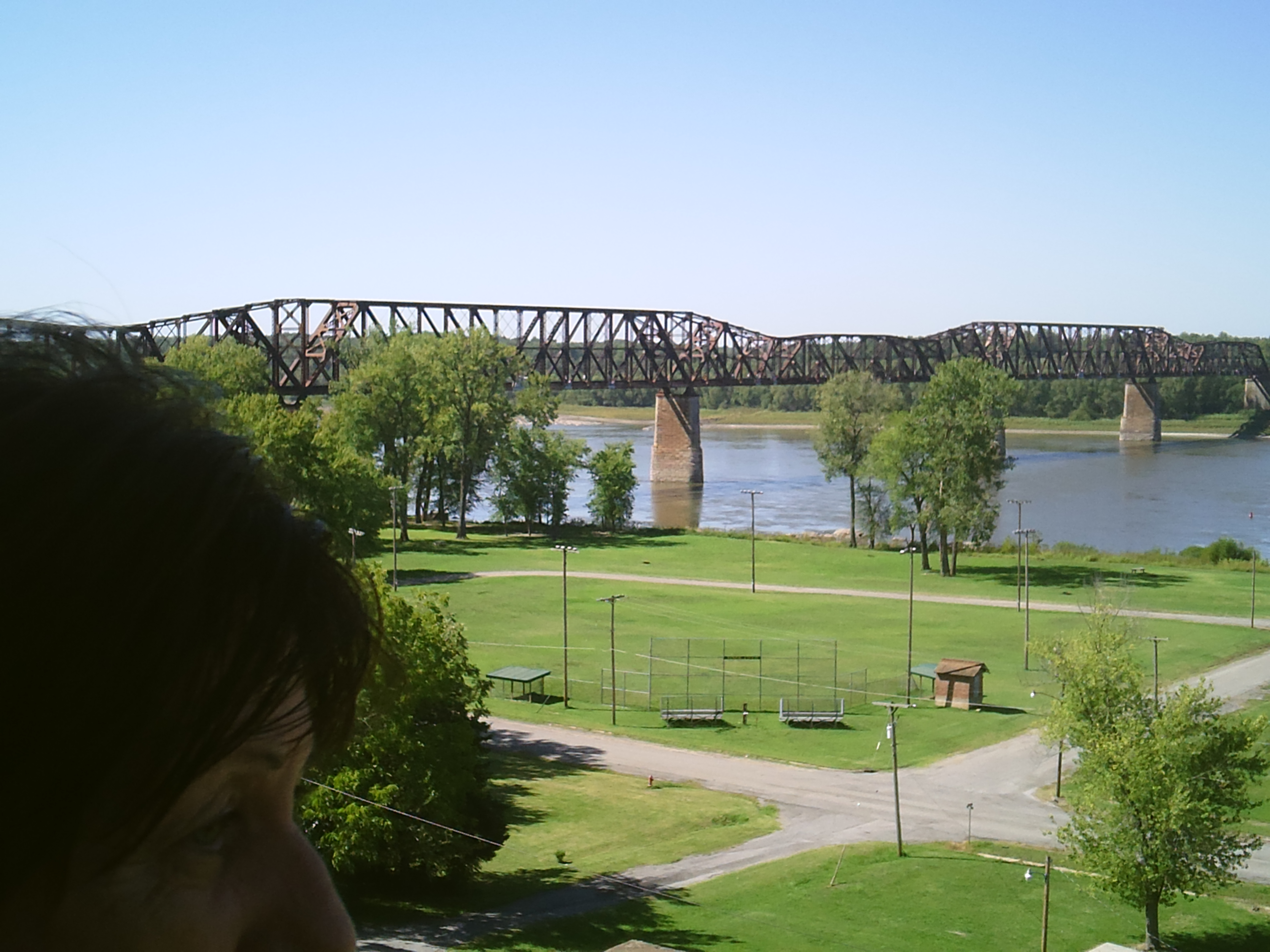
Mississippi River (Thebes, Illinois)
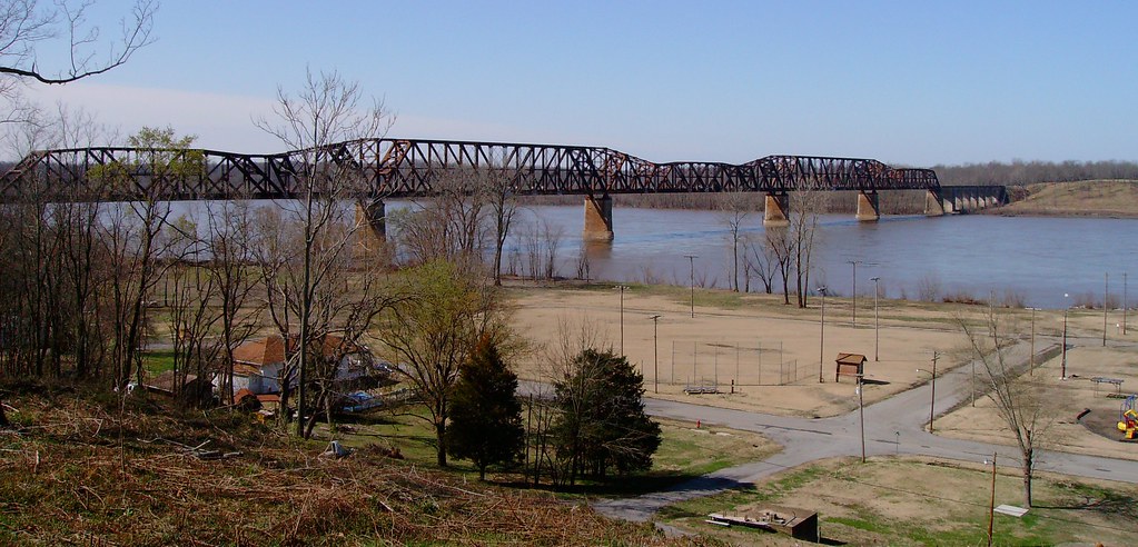
Mississippi River View from Old Thebes Courthouse
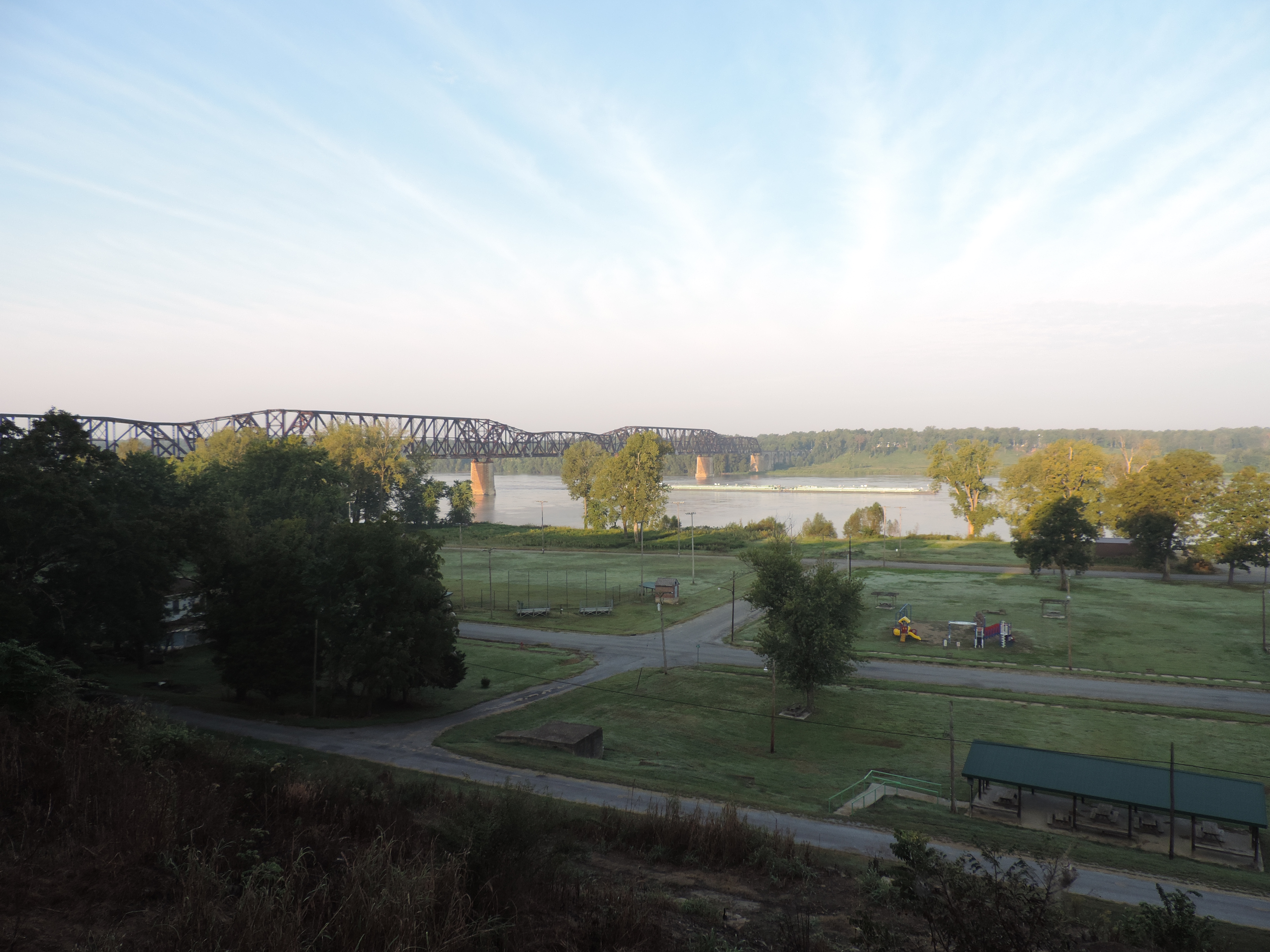
View From Thebes Courthouse
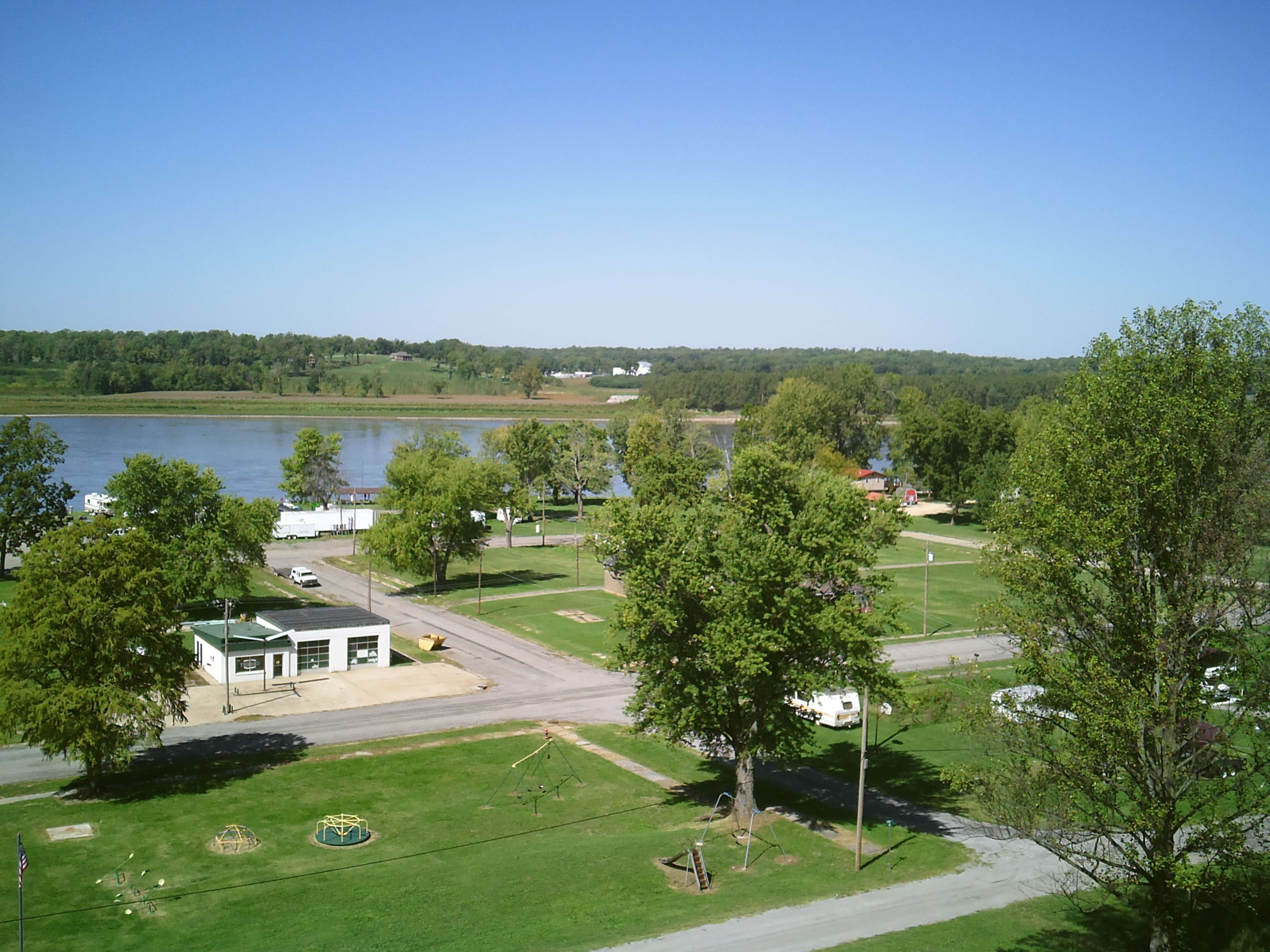
View from Thebes Courthouse #2
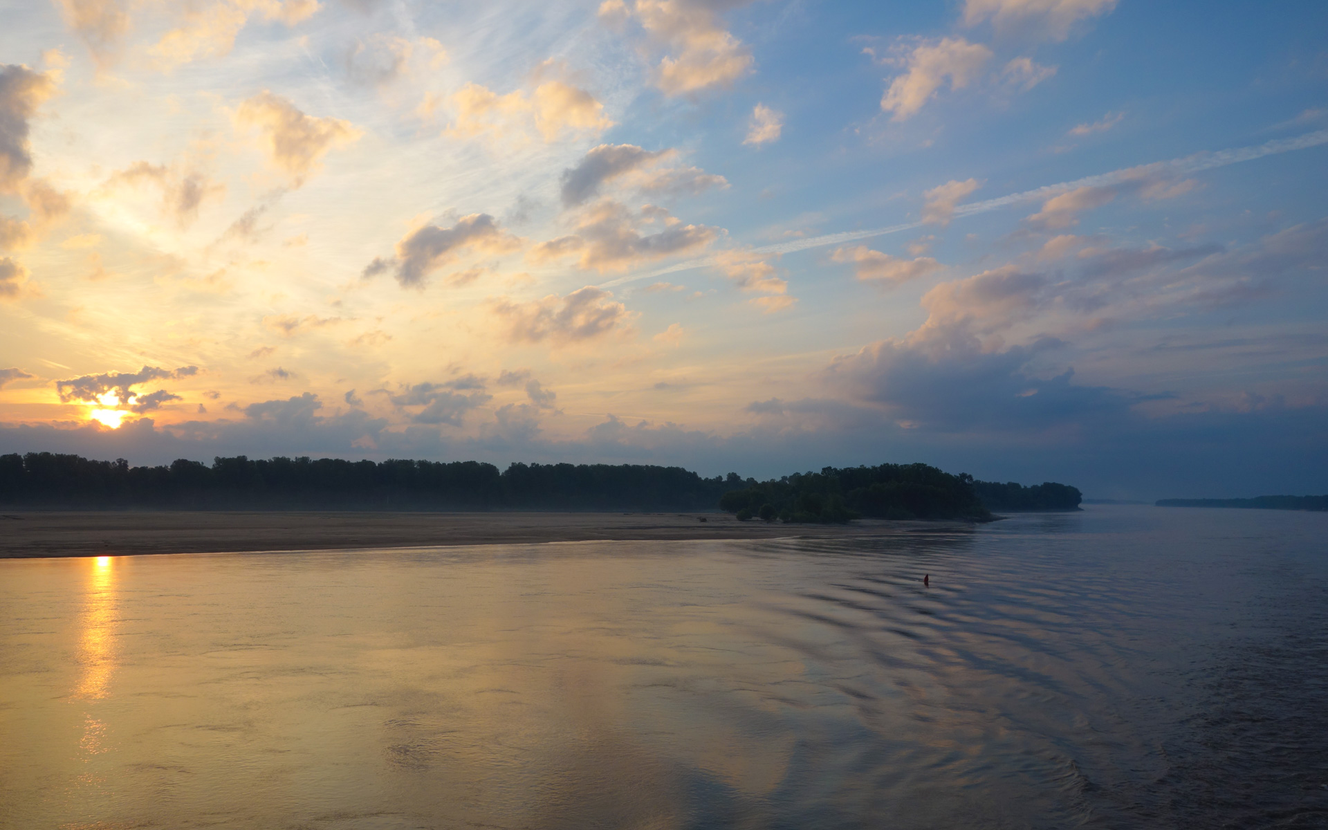
Downstream View, Bumgard Island at Sunrise
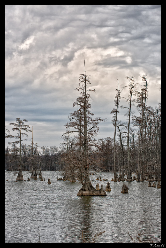
Cypress Trees - Horseshoe Lake State Fish & Wildlife Area

Sexy Boy

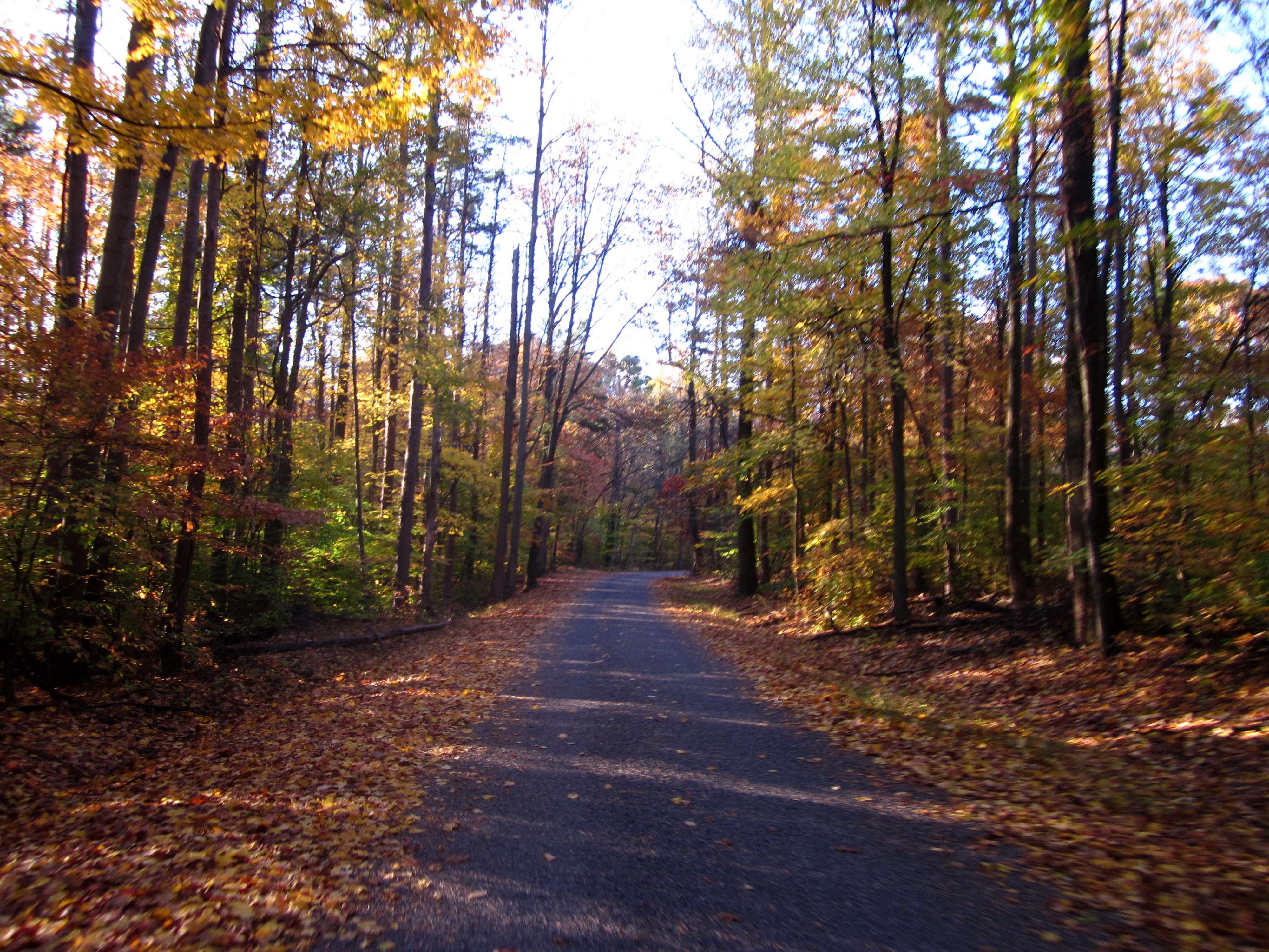
Sunlight, Trees, Hotrod car, and a curvy road
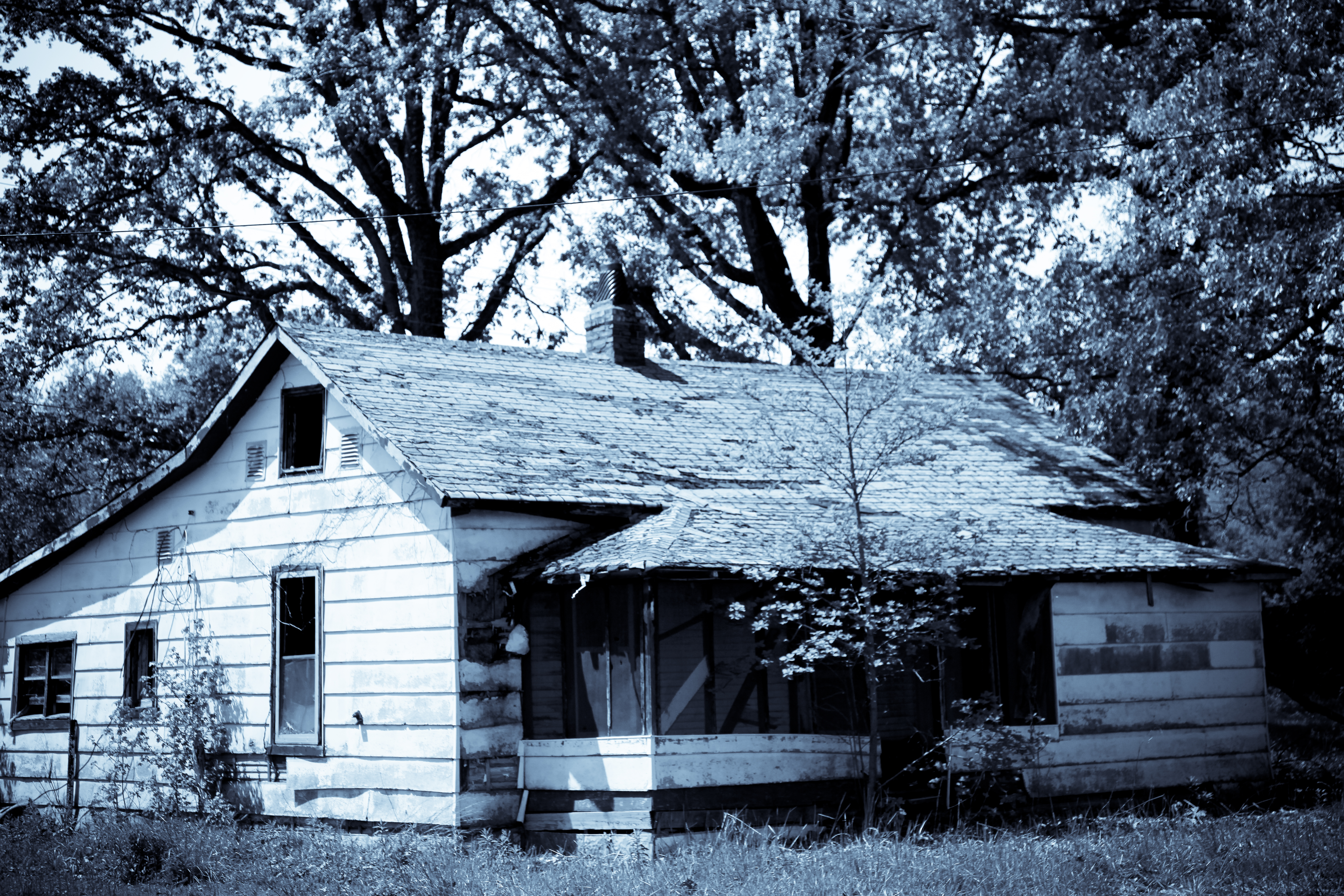
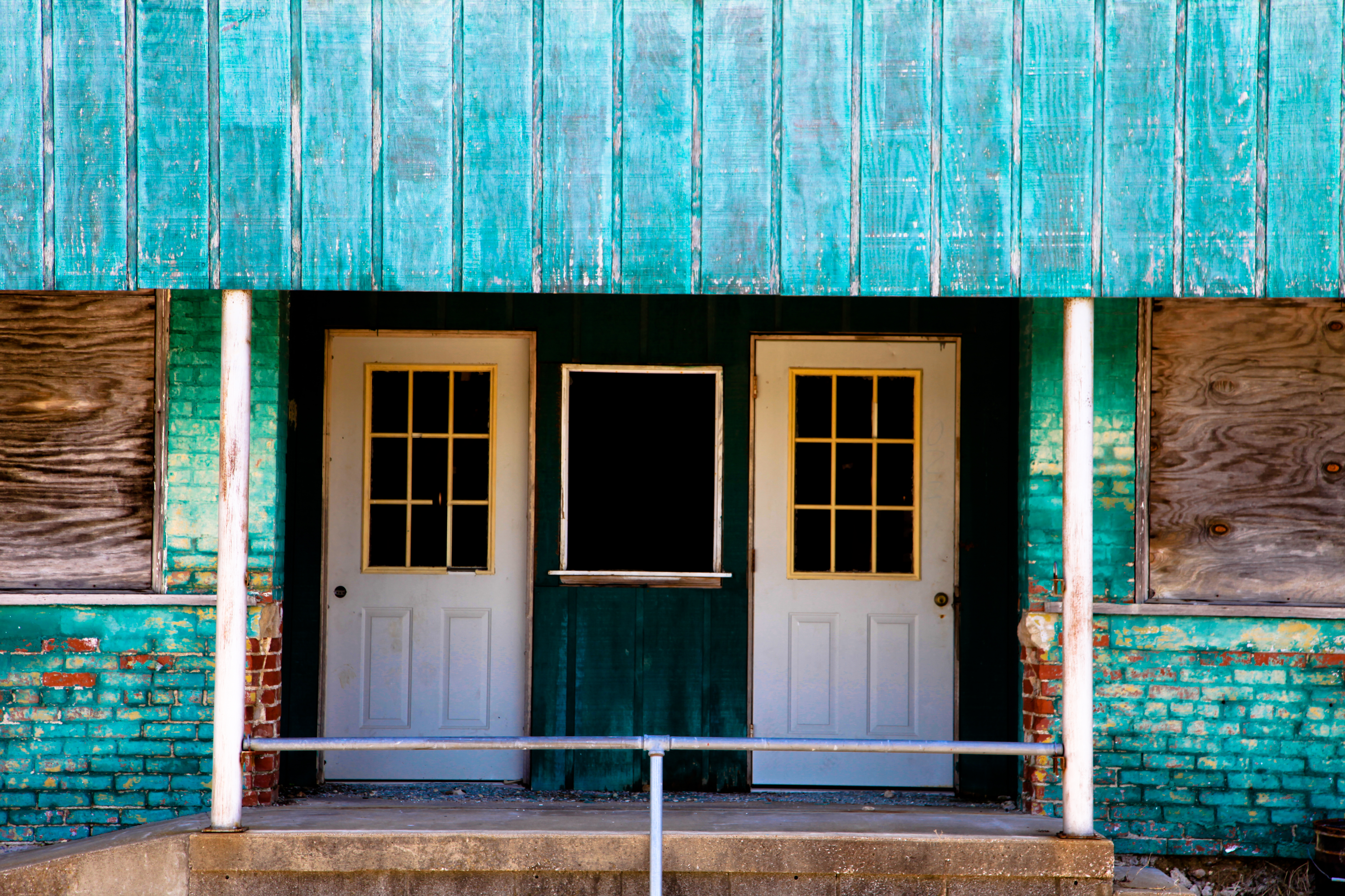
Tamms, IL
The Mighty Mississippi
Tour de Shawnee
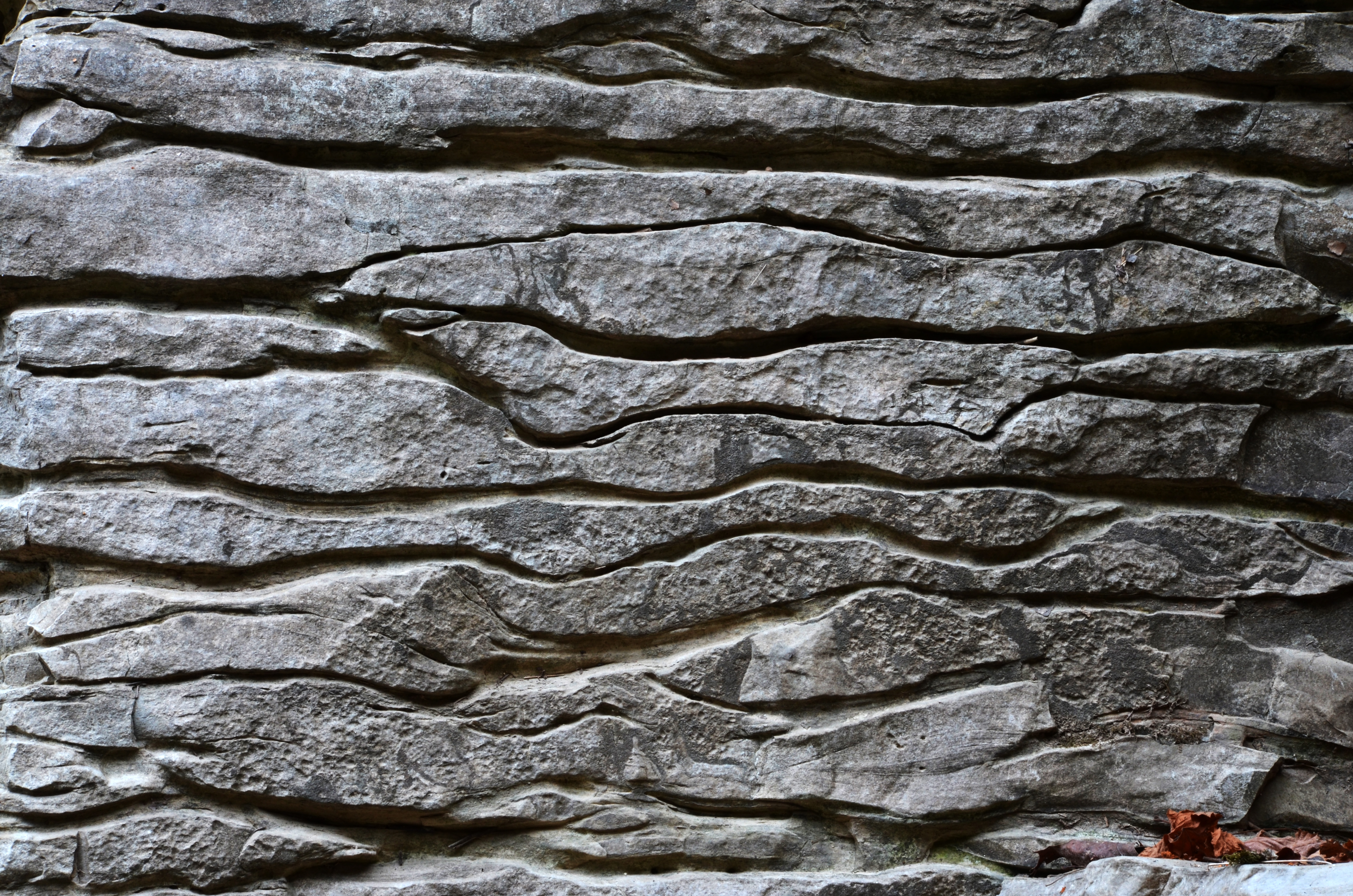
Bedding Scribbles
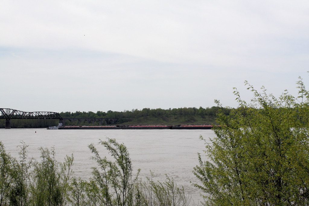
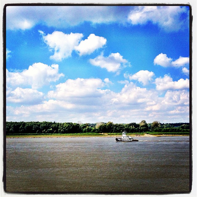
Towboat on the Mississippi

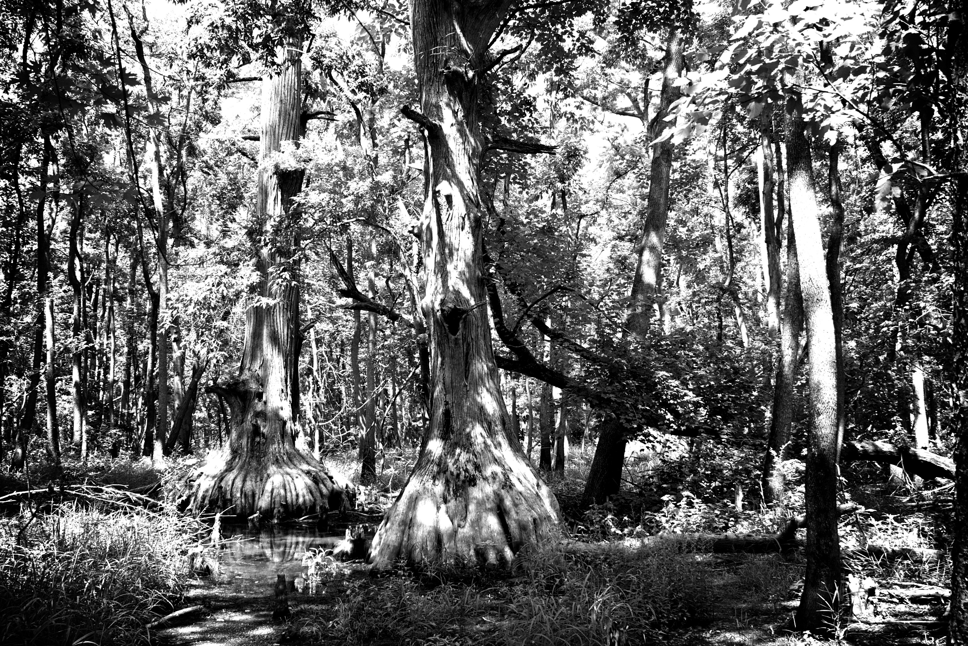
Dry and frozen forest/Floresta seca e congelada
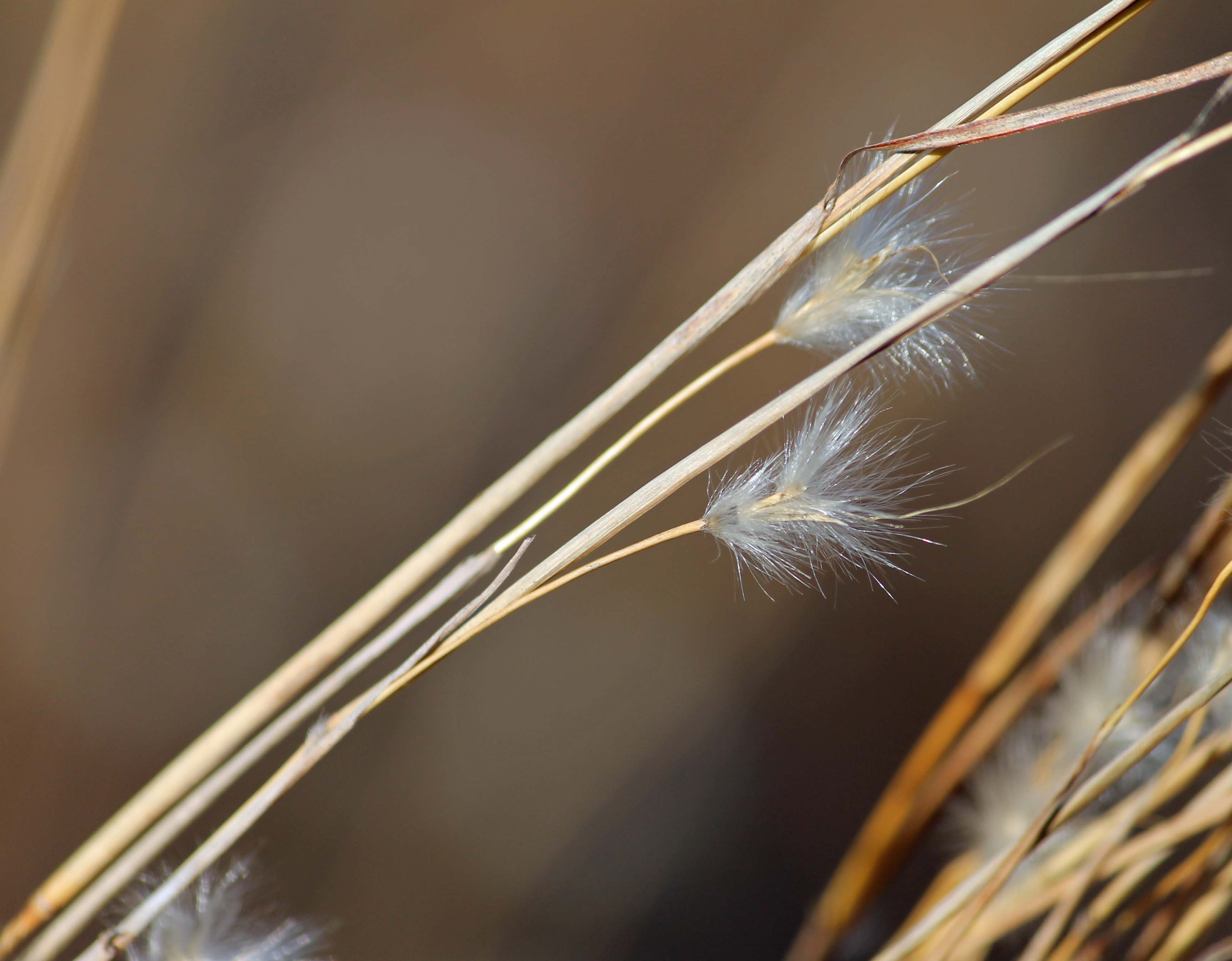
Sand Prairie Grass
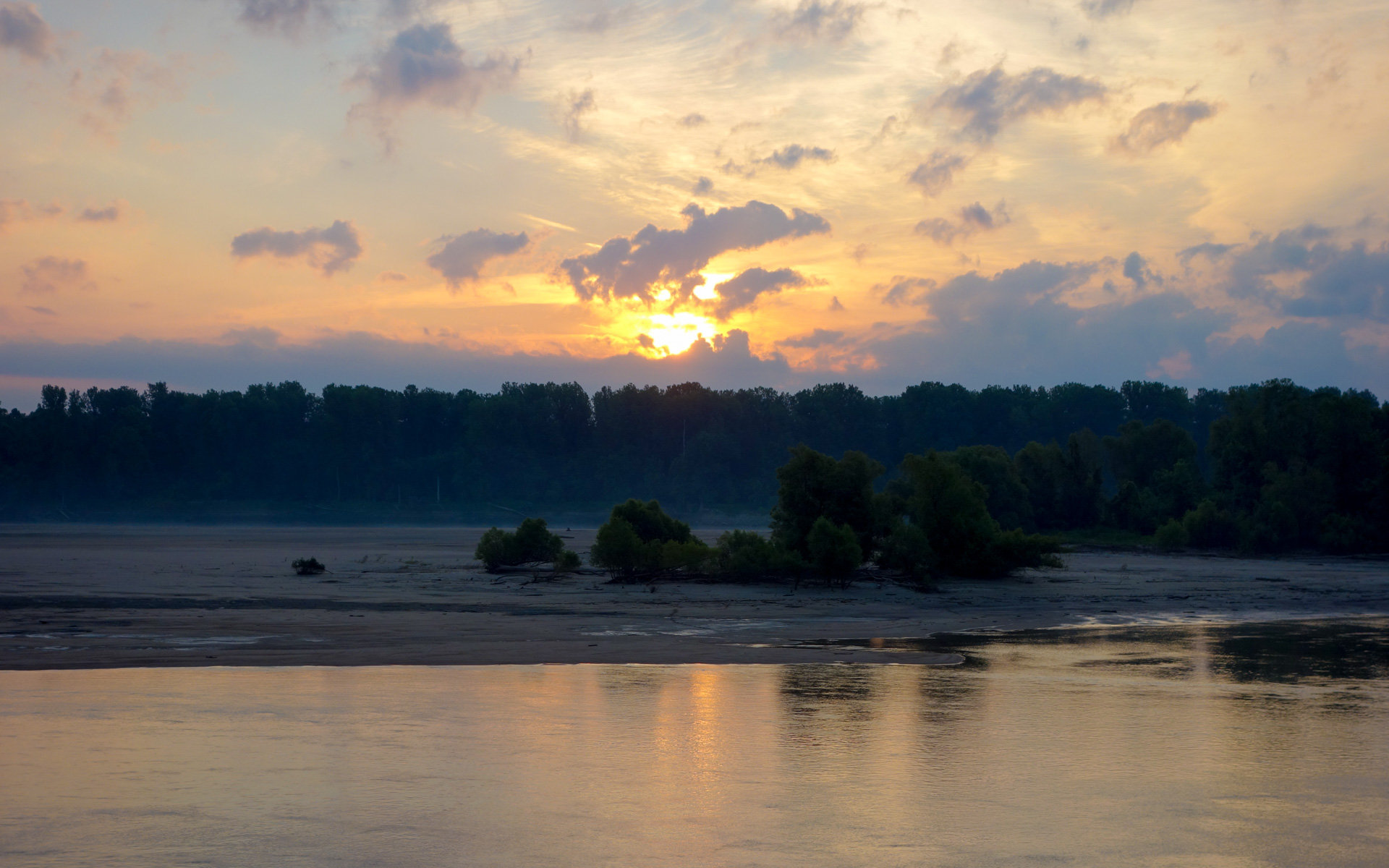
Sunrise over Bumgard Island
IMG_9101-482
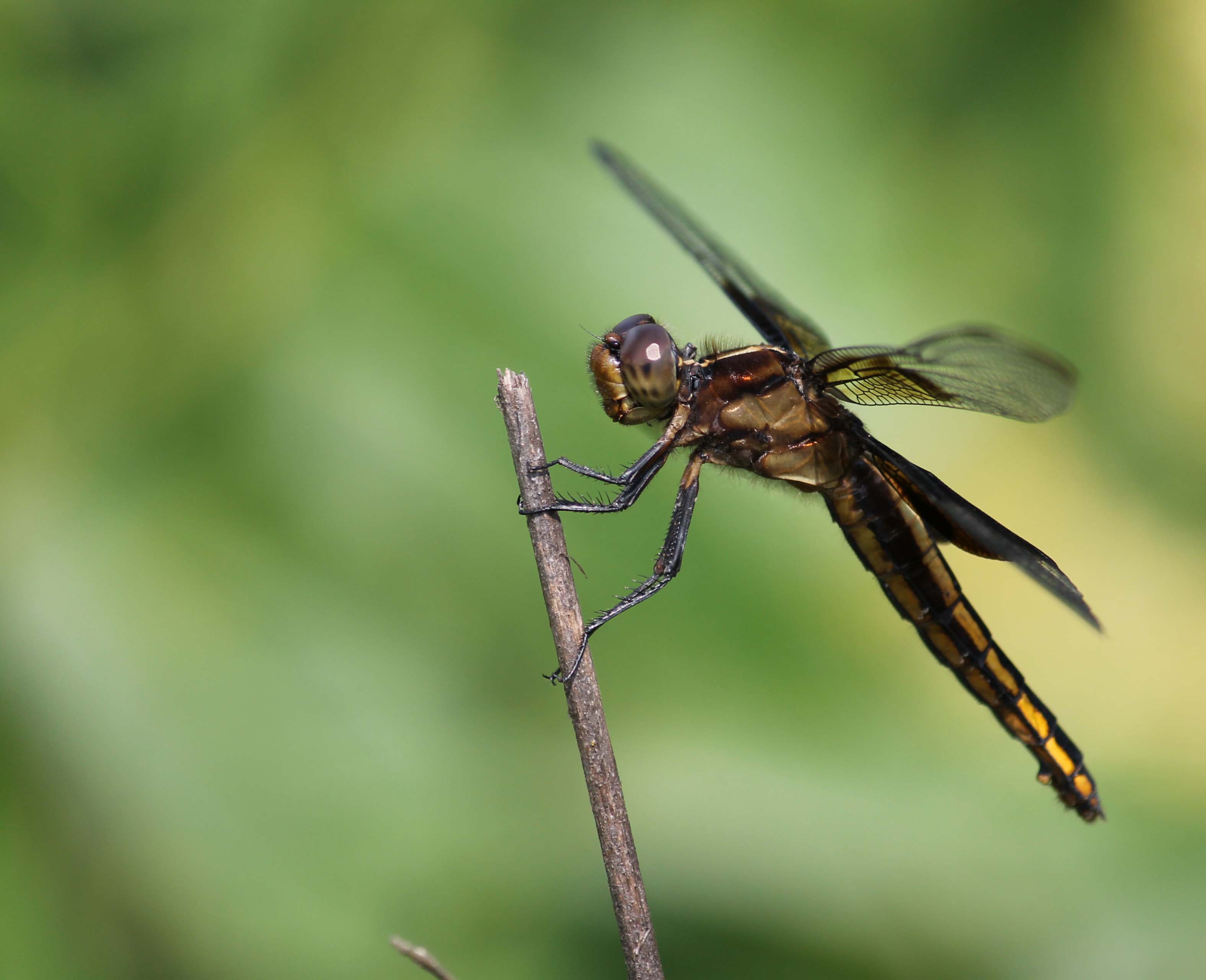
Widow Skimmer

Widow Skimmer
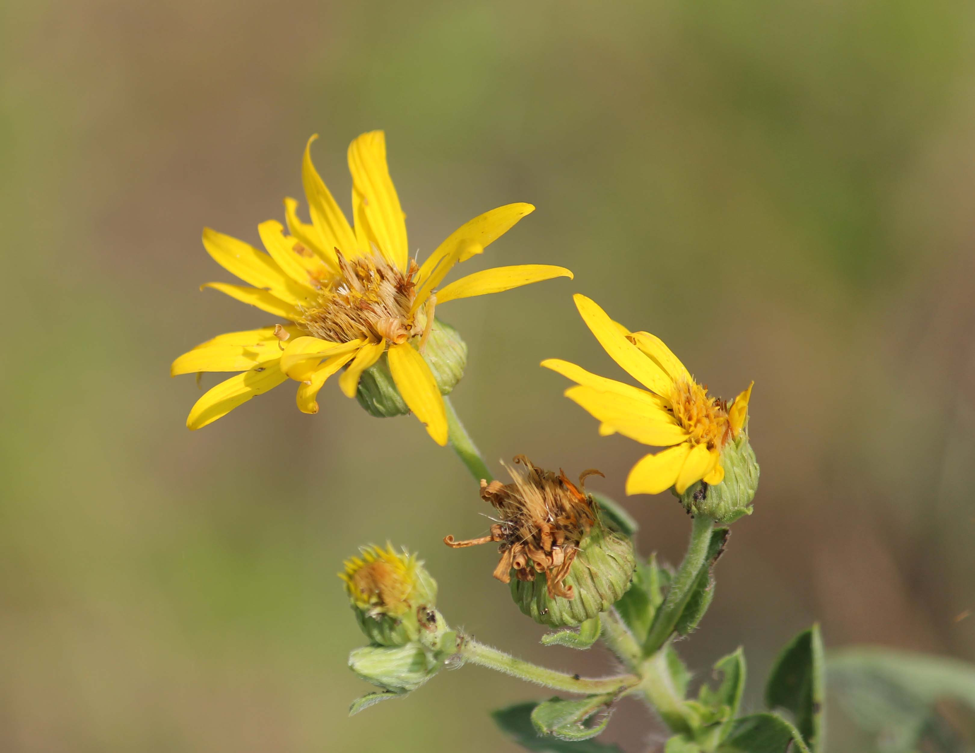
Golden Aster
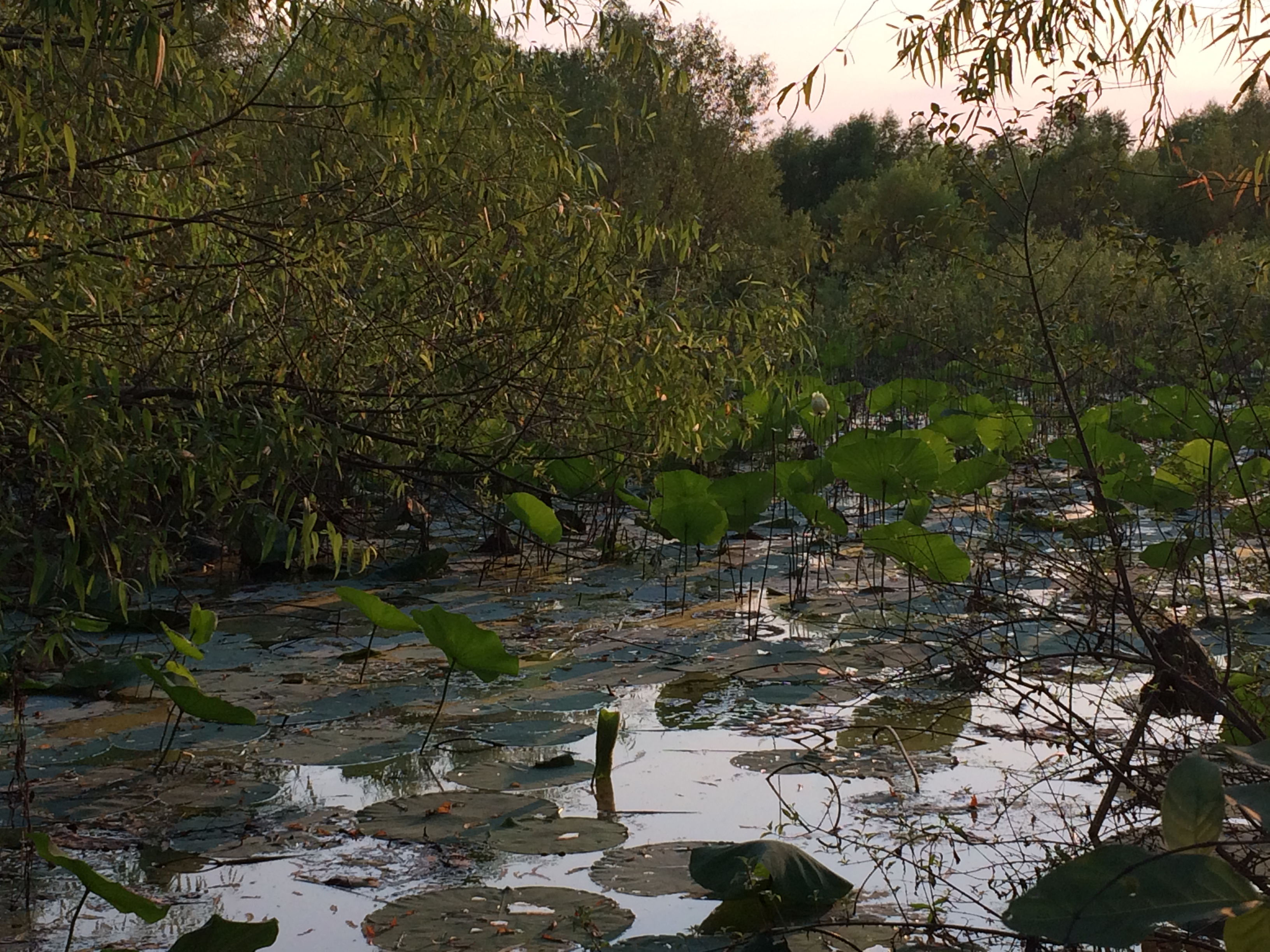
Sexton Creek Wetlands
IMG_9090-467
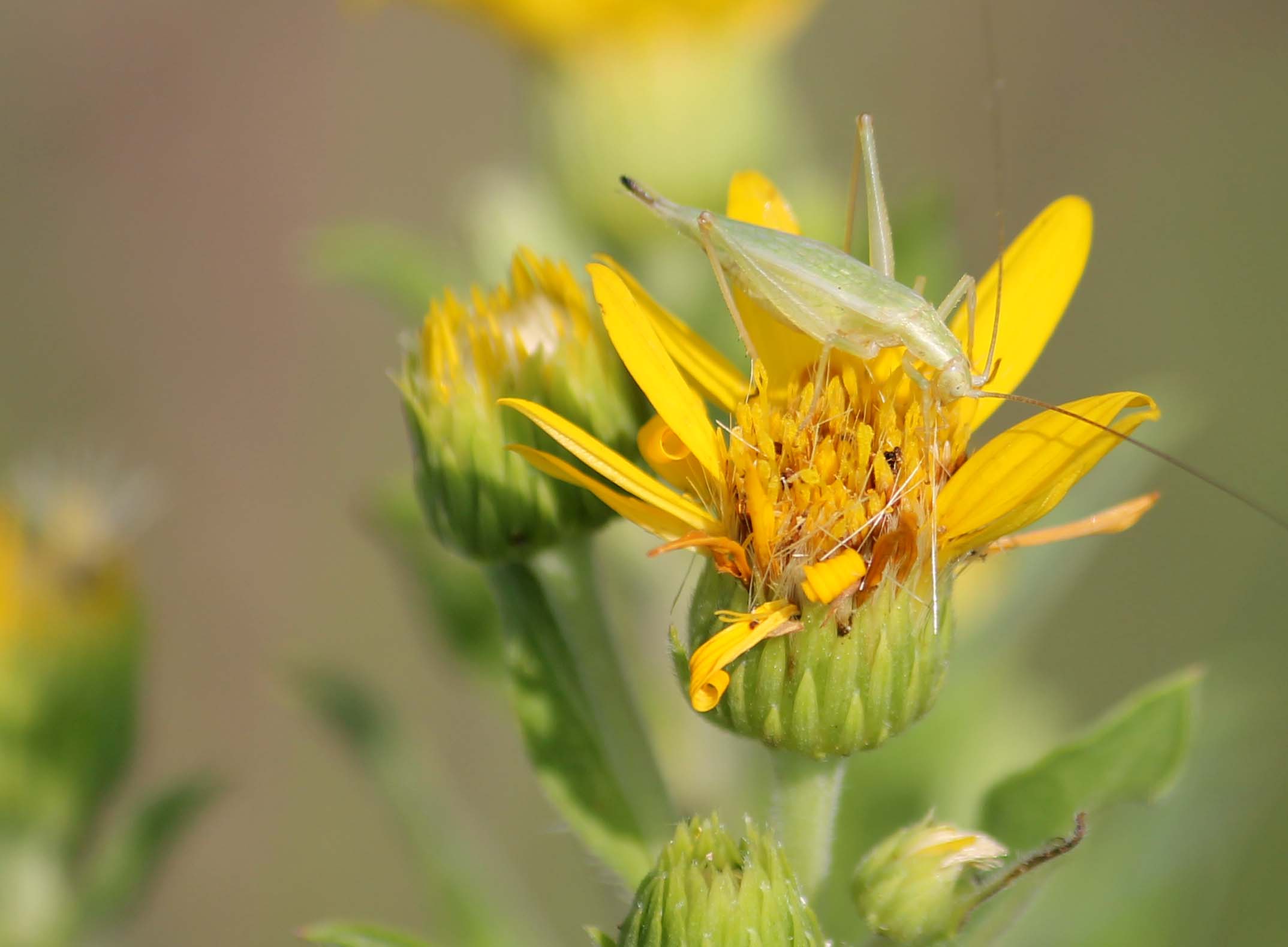
Tree Cricket on Golden Aster
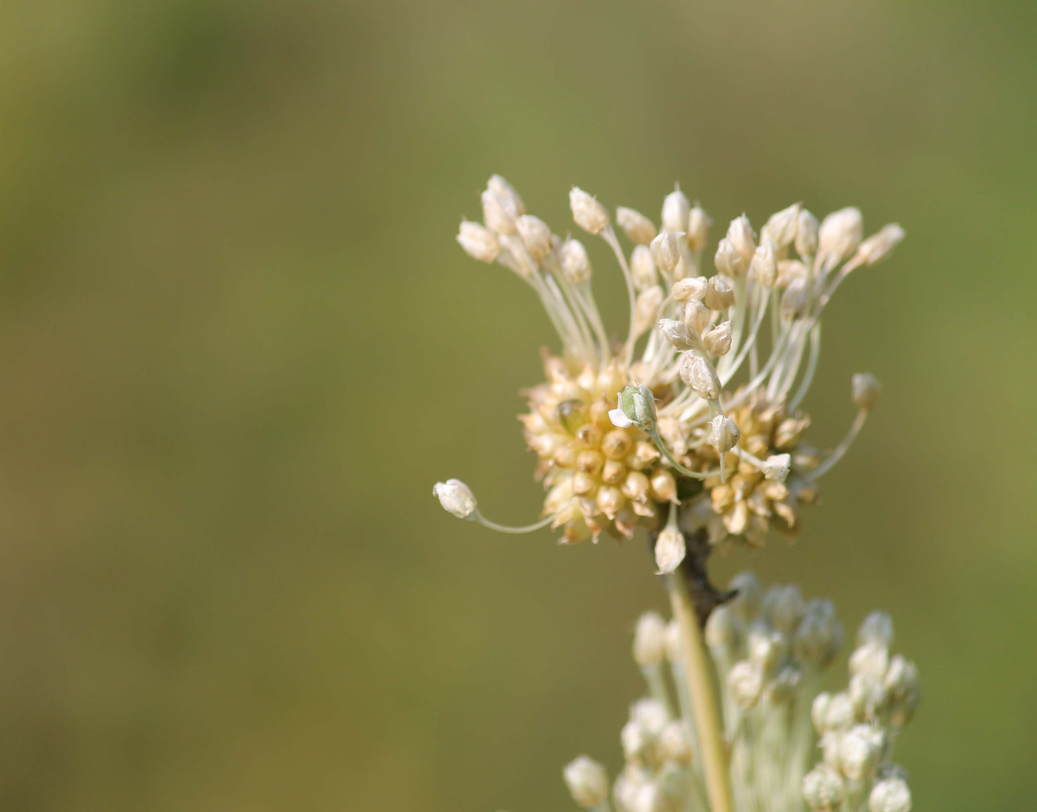
Wild Garlic
IMG_9062-461
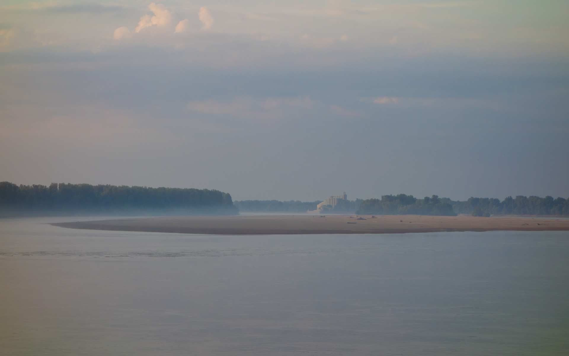
Cargil Elevator Downstream Beyond Bumgard Island
Topographic Map of Alexander County, IL, USA
Find elevation by address:

Places in Alexander County, IL, USA:
Mcclure Precinct
Tamms Precinct
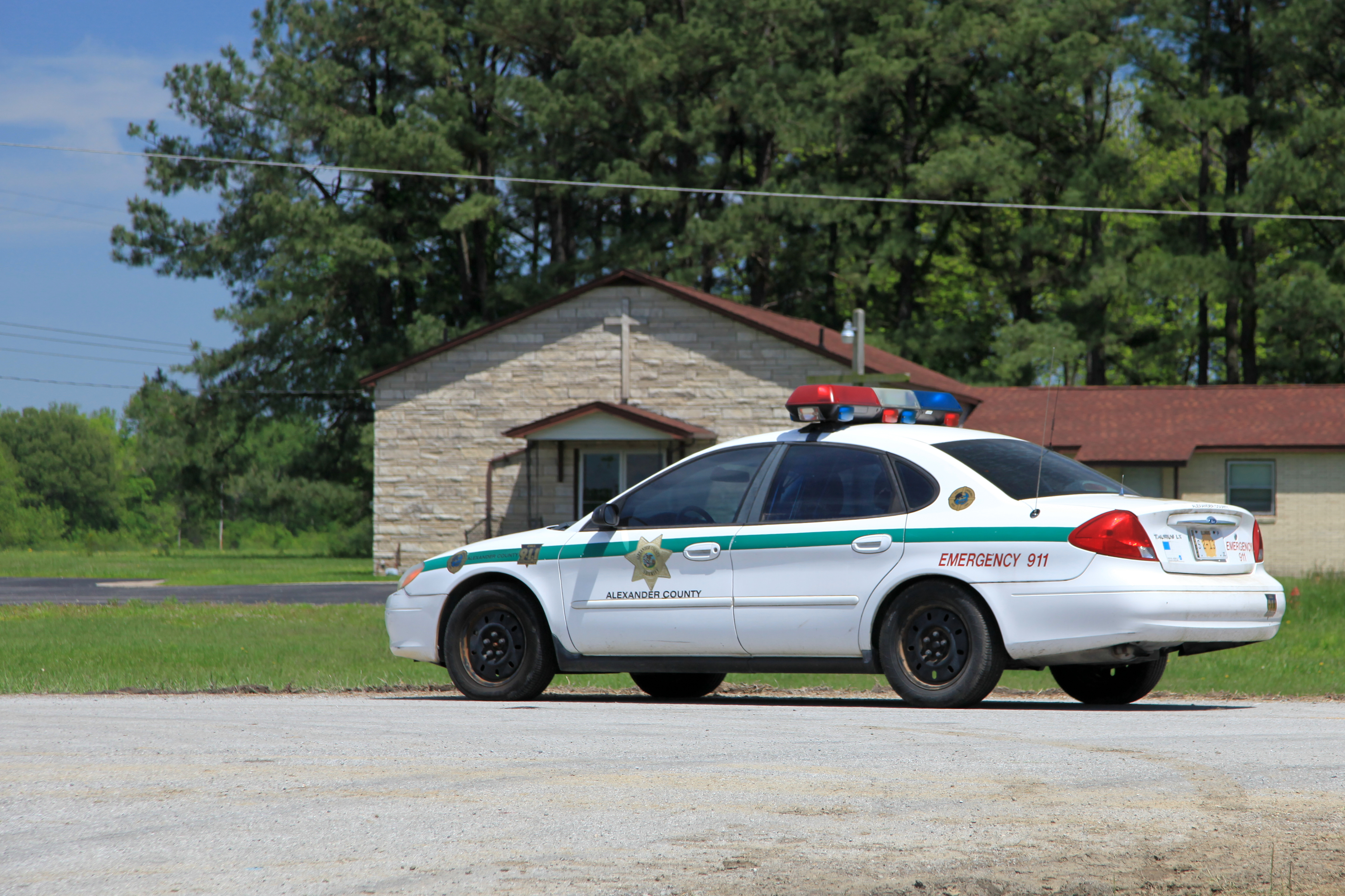
Cairo
Cache Precinct
Front St, Tamms, IL, USA
New Broadway St, Cairo, IL, USA
Thebes
Olive Branch Precinct
Places near Alexander County, IL, USA:
Olive Branch
Olive Branch Precinct
Cache Precinct
Tamms
Thebes
Front St, Tamms, IL, USA
125 Indiana St
Tamms Precinct
Mcclure Precinct
IL-3, Cairo, IL, USA
Mounds Precinct
Tywappity Township
Bridge St, Tamms, IL, USA
Villa Ridge
Mcclure
Old U.S. 51, Mounds, IL, USA
Mounds
Main St, Scott City, MO, USA
1st St, Mounds, IL, USA
Scott City
Recent Searches:
- Elevation of Corso Fratelli Cairoli, 35, Macerata MC, Italy
- Elevation of Tallevast Rd, Sarasota, FL, USA
- Elevation of 4th St E, Sonoma, CA, USA
- Elevation of Black Hollow Rd, Pennsdale, PA, USA
- Elevation of Oakland Ave, Williamsport, PA, USA
- Elevation of Pedrógão Grande, Portugal
- Elevation of Klee Dr, Martinsburg, WV, USA
- Elevation of Via Roma, Pieranica CR, Italy
- Elevation of Tavkvetili Mountain, Georgia
- Elevation of Hartfords Bluff Cir, Mt Pleasant, SC, USA