Elevation of Hyatt Prairie Rd, Ashland, OR, USA
Location: United States > Oregon > Jackson County > Ashland >
Longitude: -122.41535
Latitude: 42.2232806
Elevation: 1396m / 4580feet
Barometric Pressure: 86KPa
Elevation Map:
Satellite Map:
Related Photos:

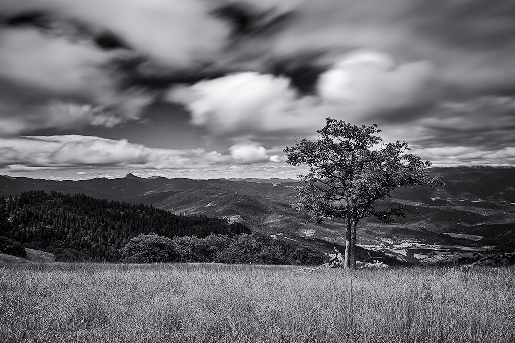
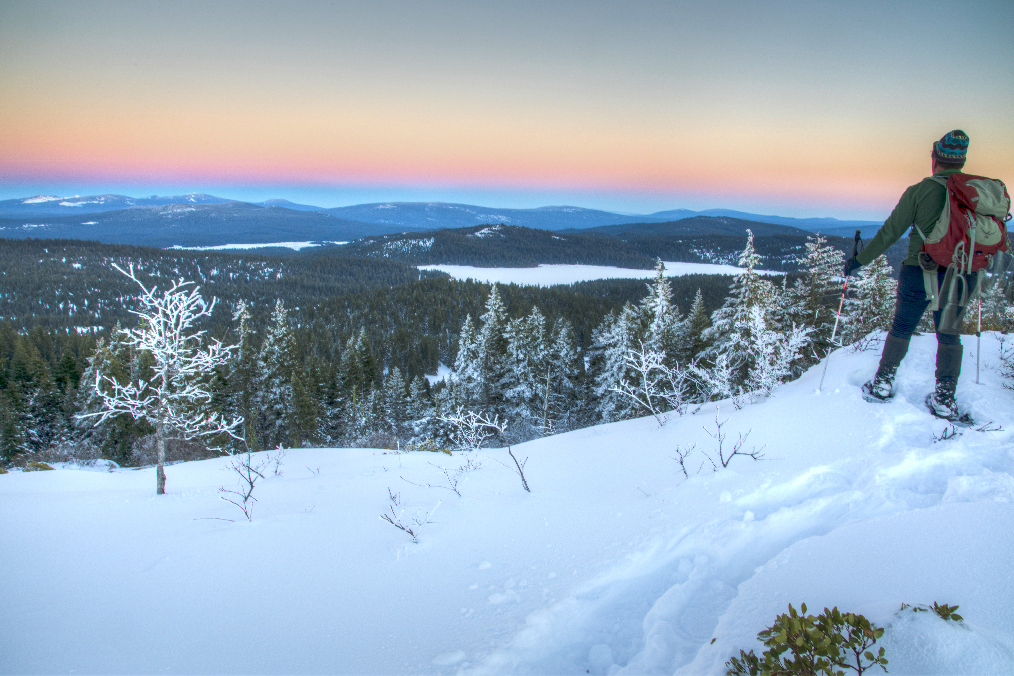
Ridge View

Ridge View
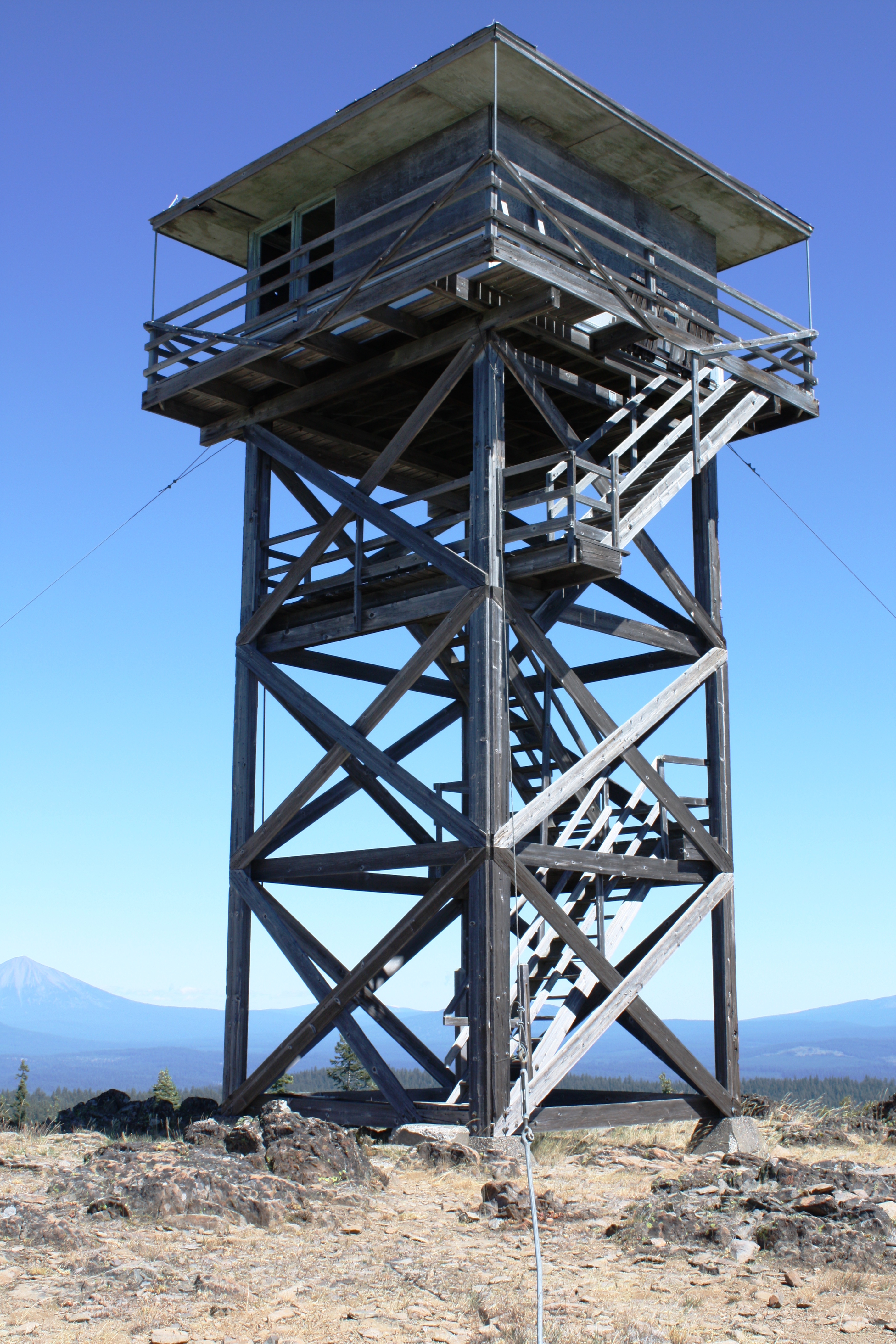
Table Mtn LO

Ridge View

Ridge View

Ridge View
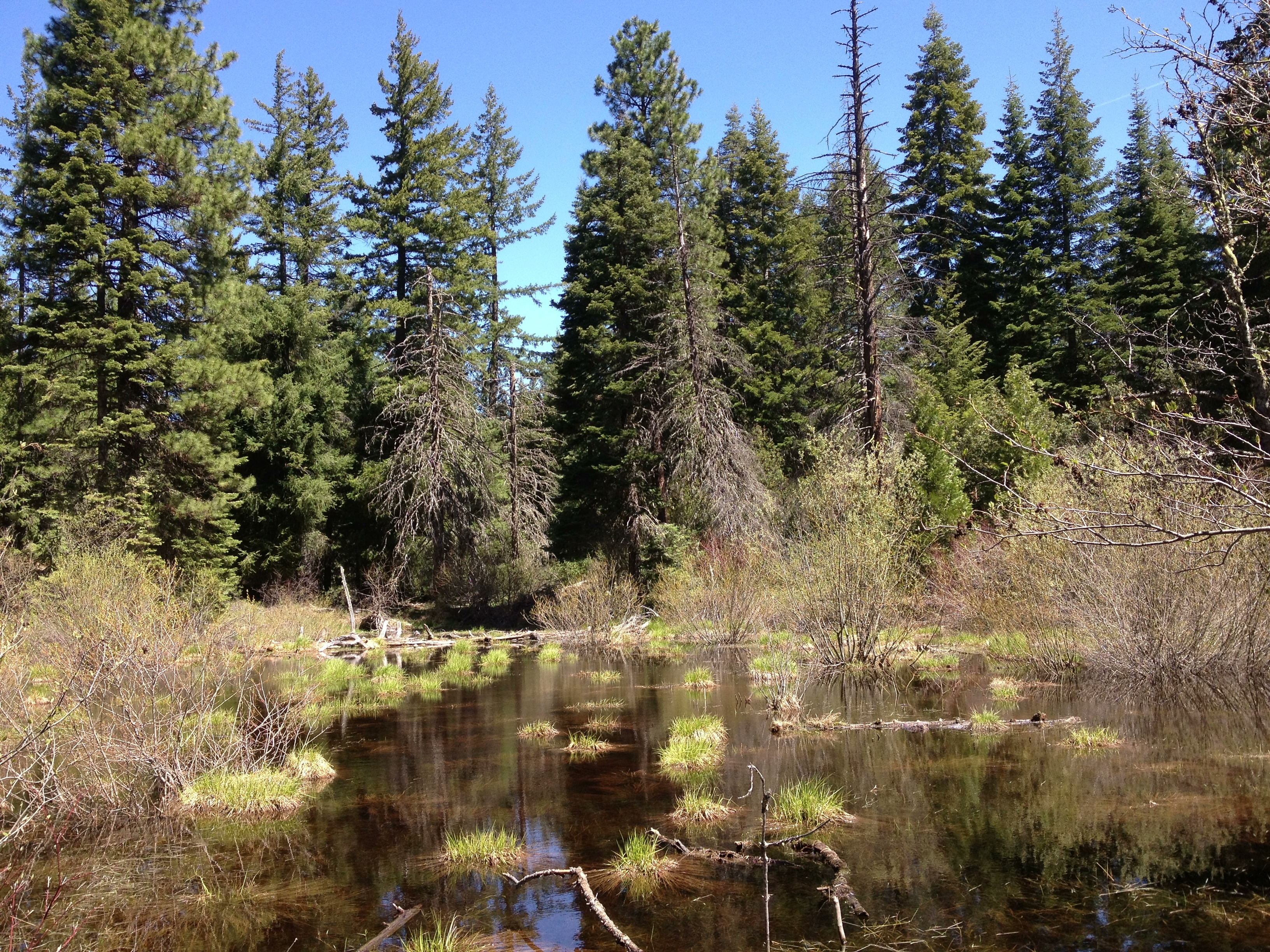
View of the stream
View from the top

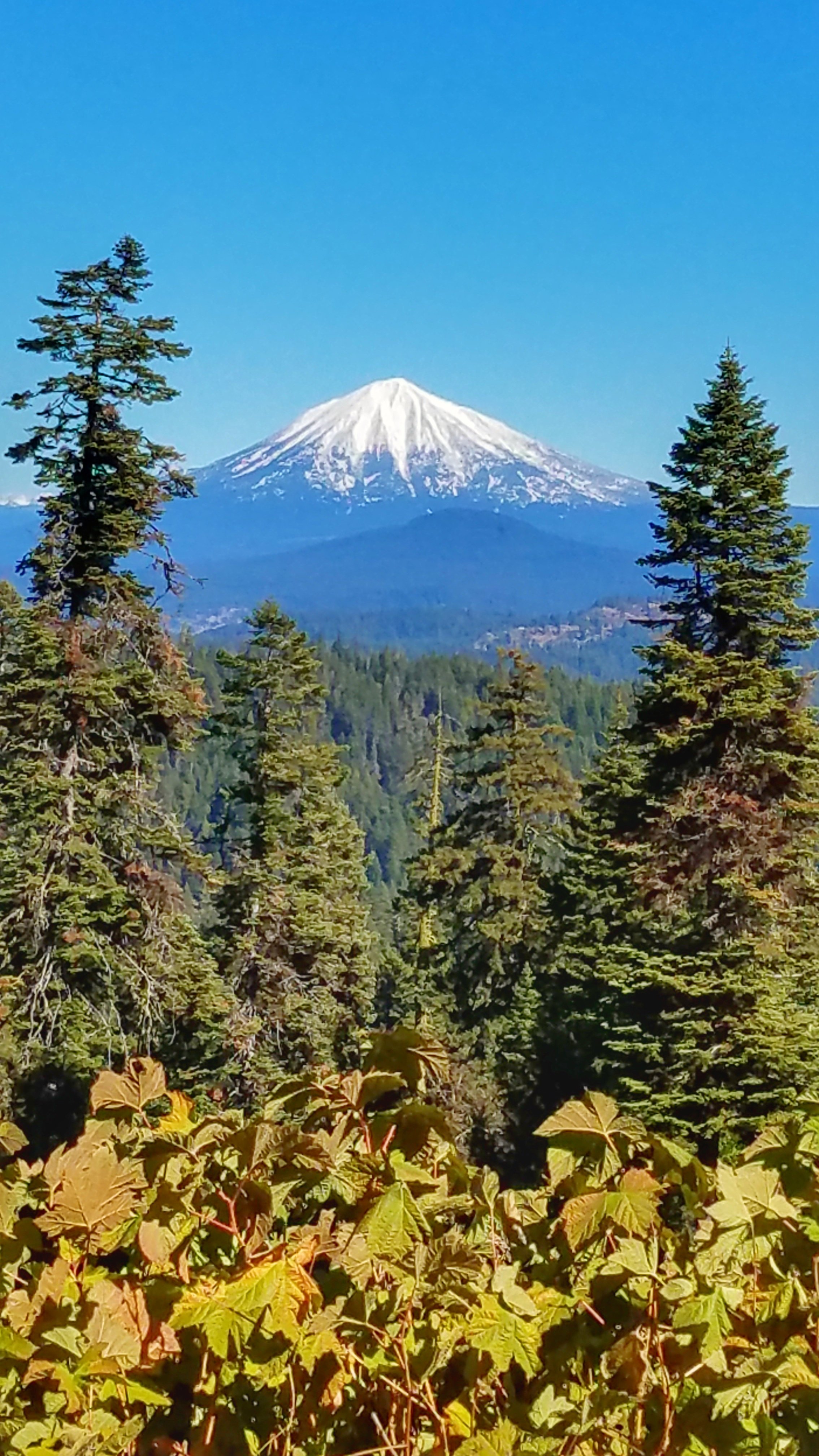
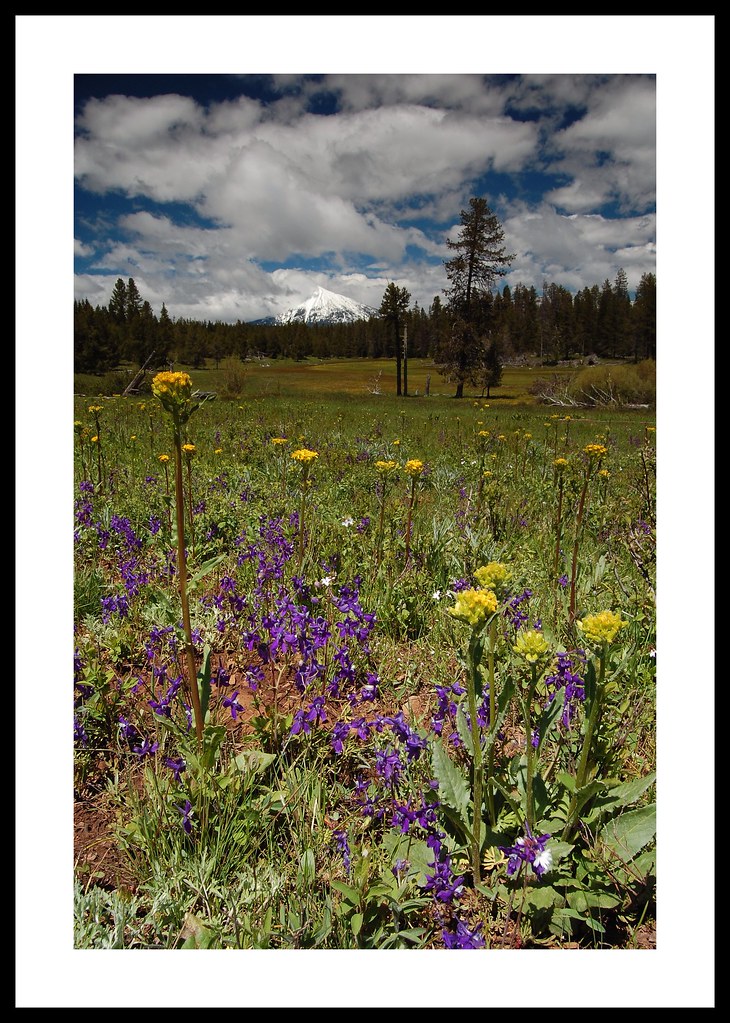
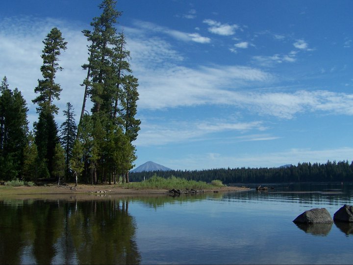
View in the general direction of Mount McLaughlin

Cascade Siskiyou trip
Southern Oregon Road Trip
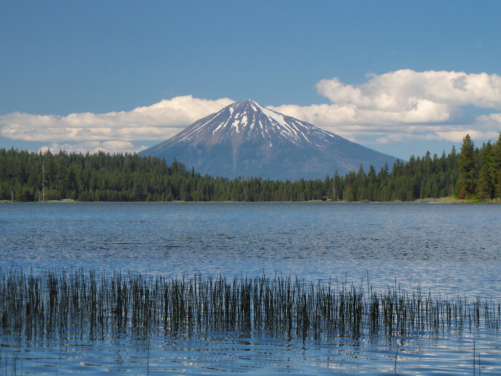
Mt McLoughlin
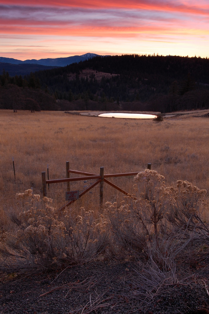
Cascade Sunset
adhering strictly to the guidelines for uninteresting composition
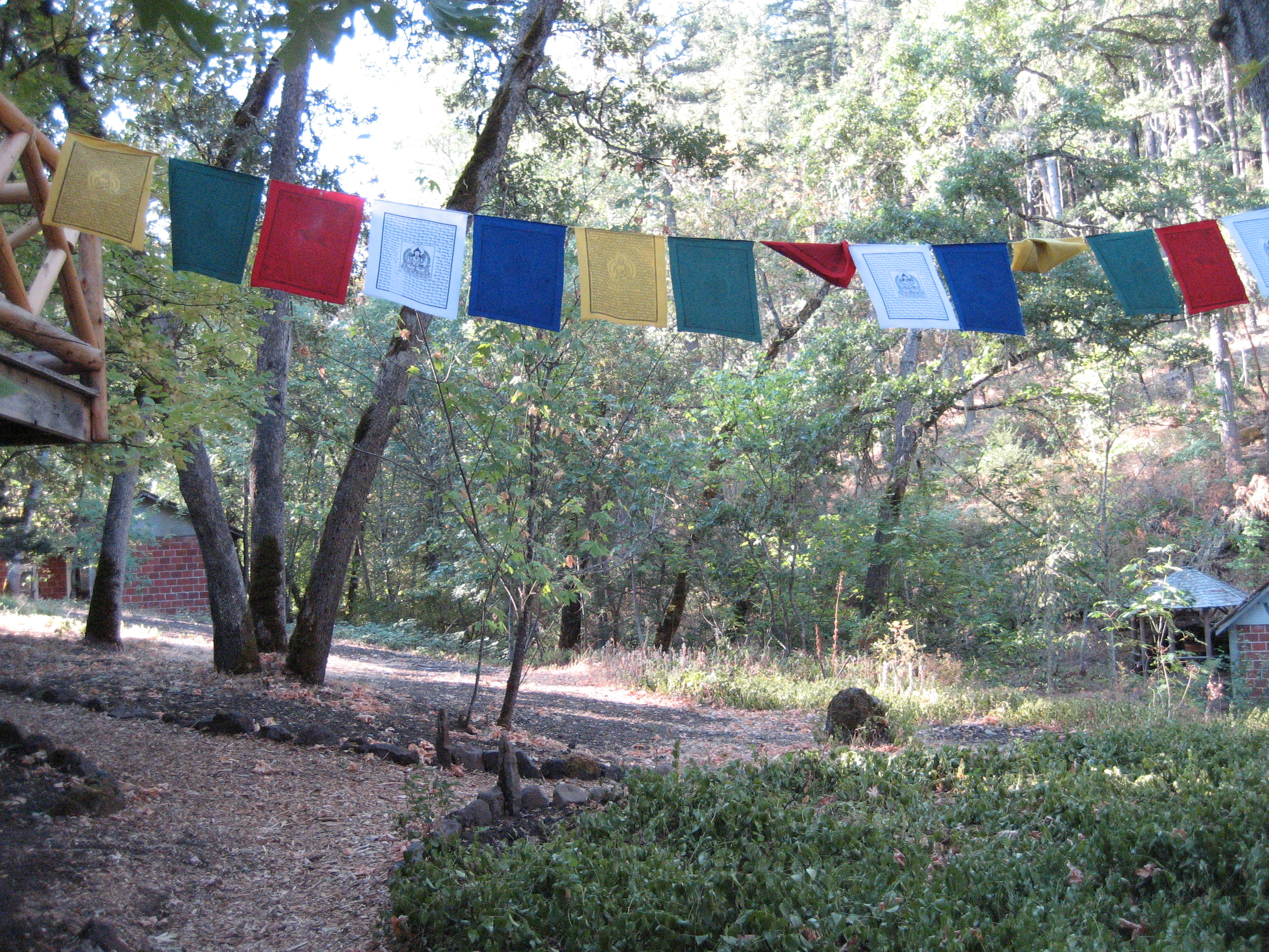
Punk rockers in the woods.
PCT Meadow Overlook

Mt. McLoughlin
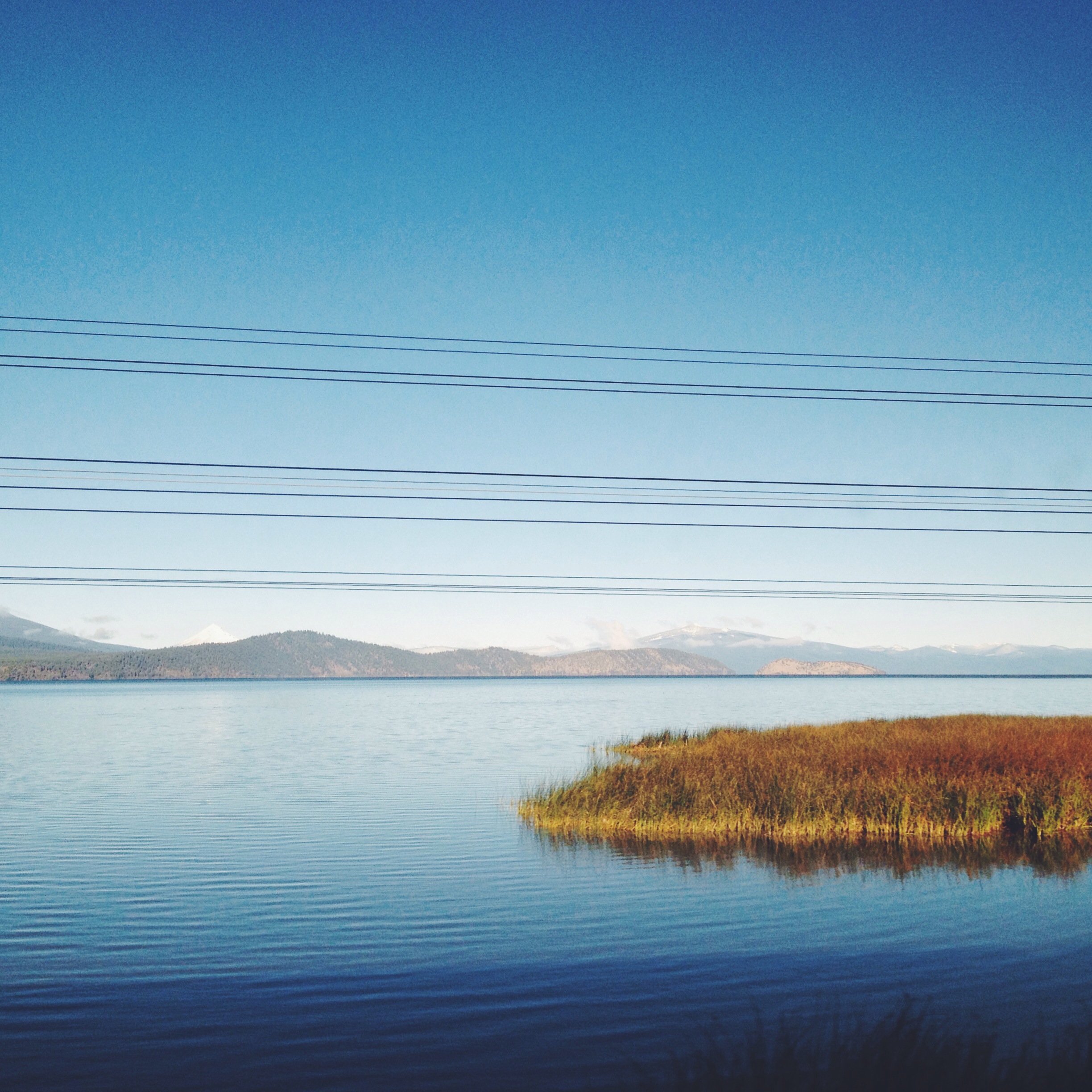
Lake Water
October 2013

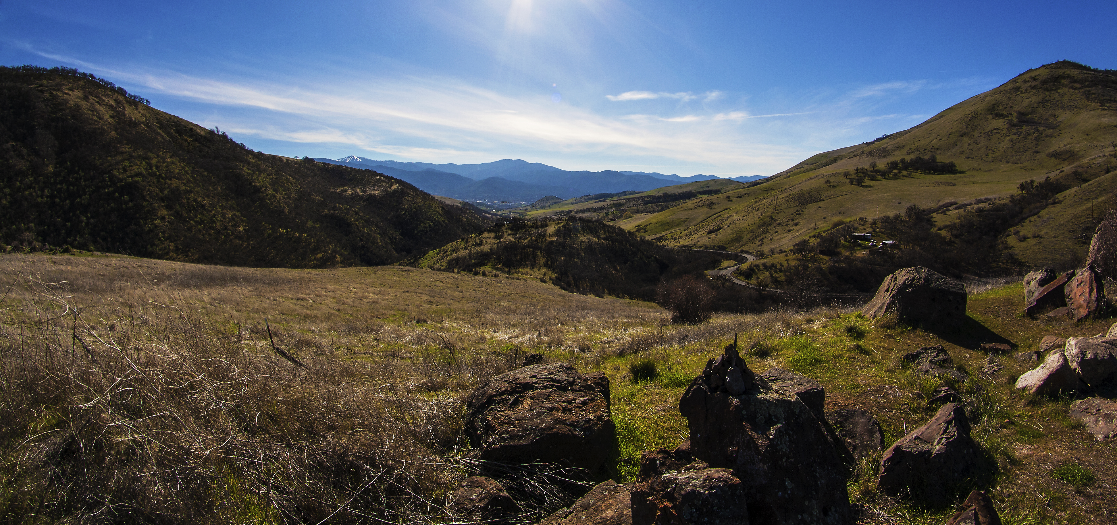
Southern Oregon from Dead Indian Memorial Road (facing Ashland)
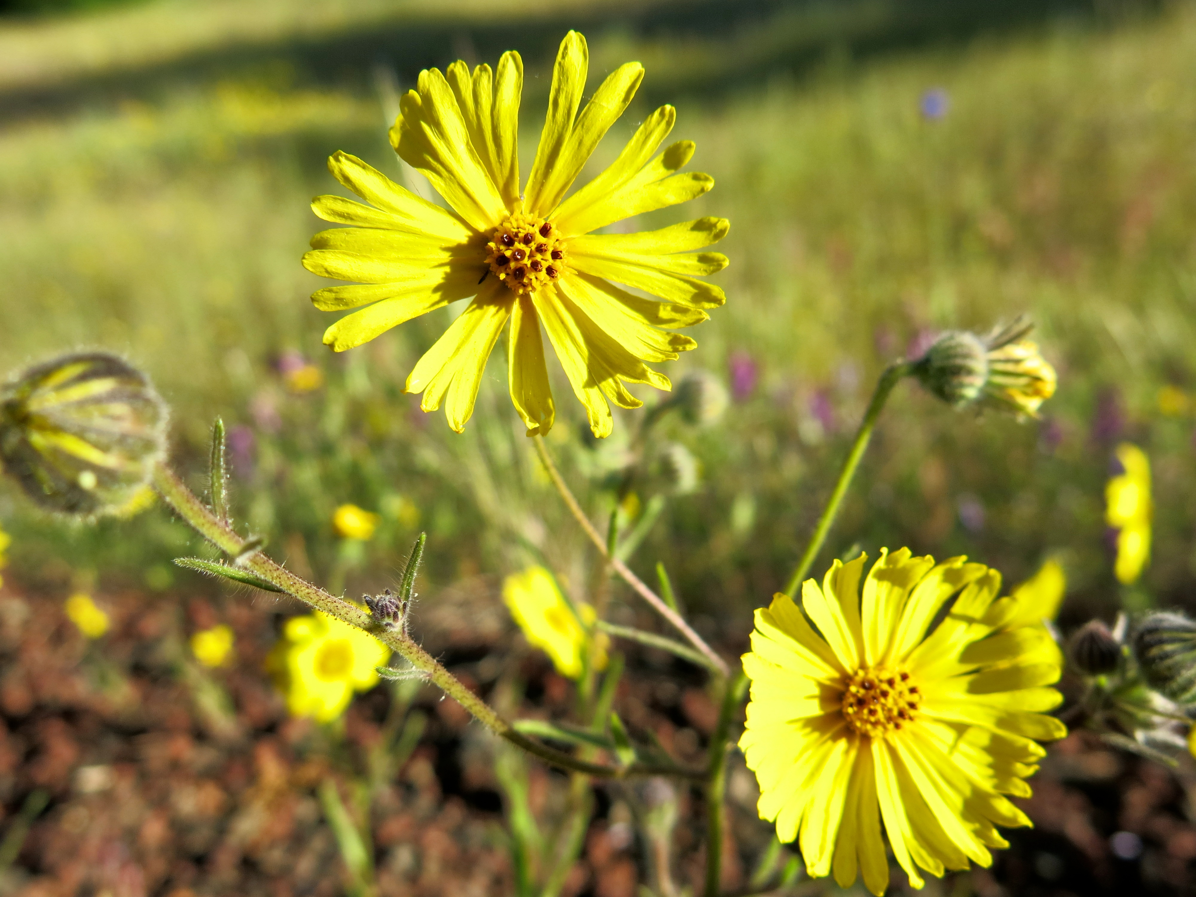
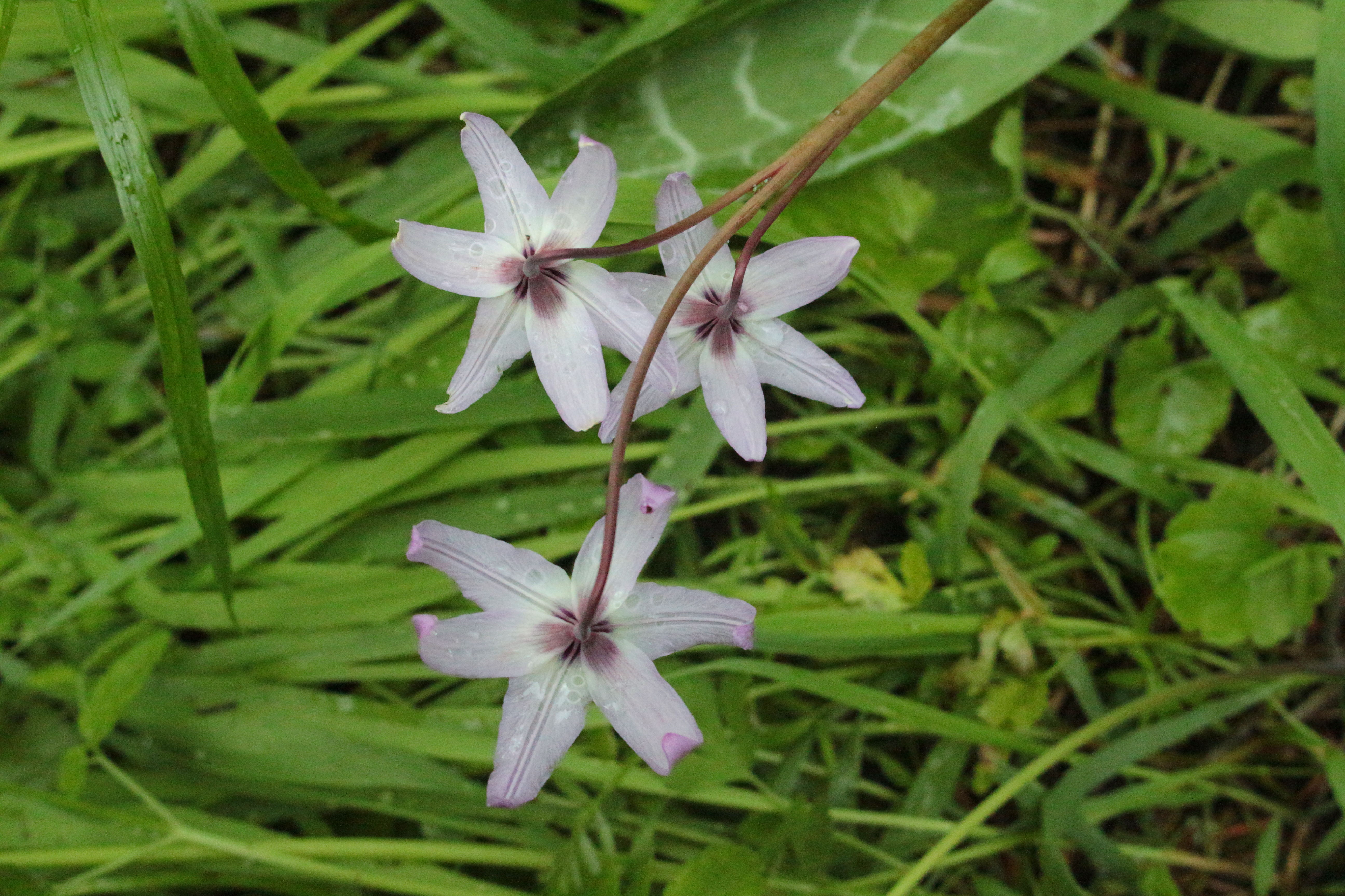
Slender Hareleaf (Lagophylla ramosissima)
Pacific Crest National Scenic Trail, Oregon
Parsnip Lakes
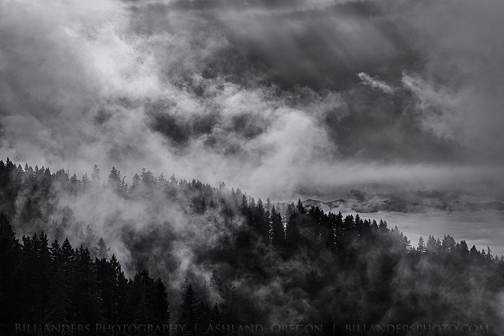
Tree Smoke
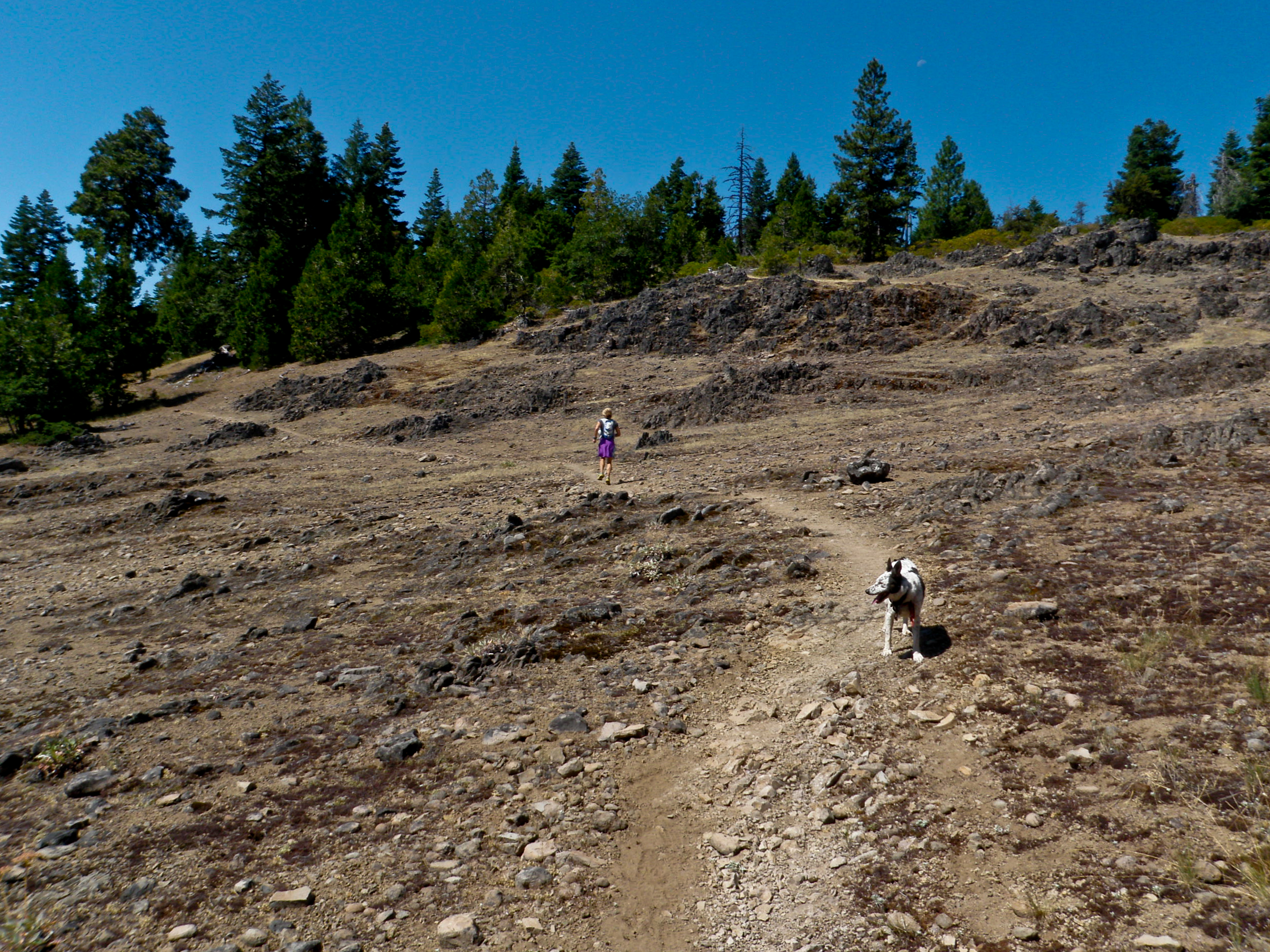
Becky & Ringo Mountaintop Lava Field - Pacific Crest Trail
Dead Indian Memorial Road
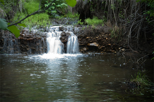
Beaver Creek Falls
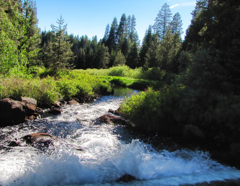
Keene Creek
Southern Oregon
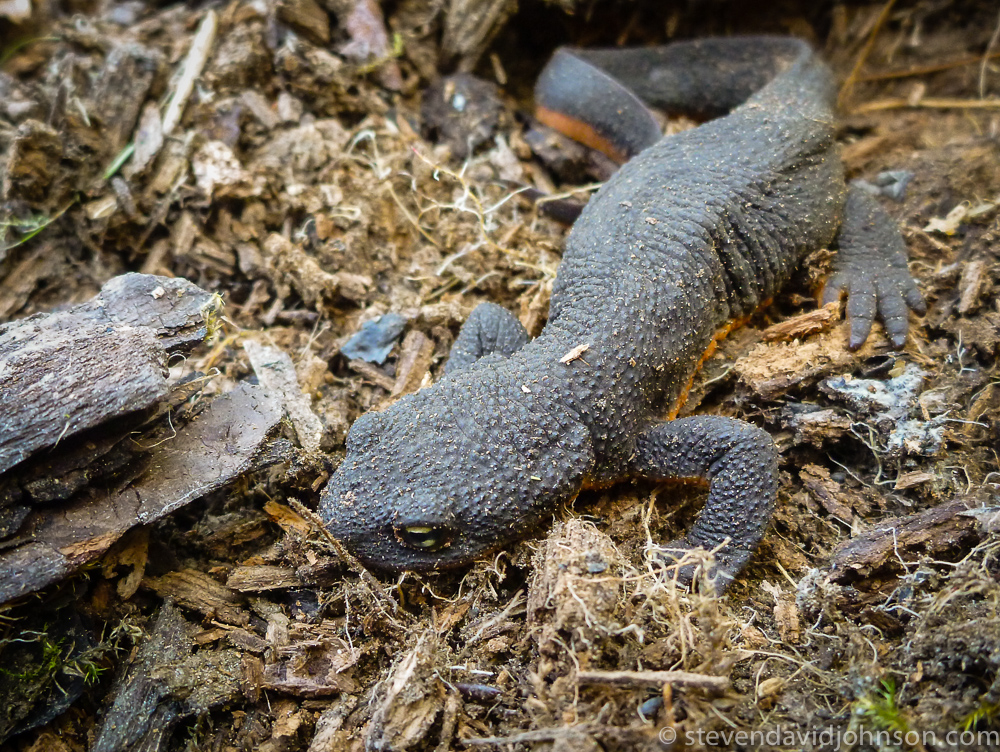
rough skinned newt, Parsnip Lakes, Oregon
Topographic Map of Hyatt Prairie Rd, Ashland, OR, USA
Find elevation by address:

Places near Hyatt Prairie Rd, Ashland, OR, USA:
3365 Hyatt Prairie Rd
Howard Prairie Rd, Ashland, OR, USA
Howard Prairie Lake
2044 Hyatt Prairie Rd
1940 Hyatt Prairie Rd
6706 E Hyatt Lake Rd
4901 E Hyatt Lake Rd
Ashland, OR, USA
Buck Prairie
7672 Hyatt Prairie Rd
7682 Hyatt Prairie Rd
20020 Dead Indian Memorial Rd
Dead Indian Memorial Road
15787 Dead Indian Memorial Rd
Buck Prairie Road
8698 Dead Indian Memorial Rd
8055 Dead Indian Memorial Rd
3003 Cove Rd
8007 Dead Indian Memorial Rd
8009 Dead Indian Memorial Rd
Recent Searches:
- Elevation of Groblershoop, South Africa
- Elevation of Power Generation Enterprises | Industrial Diesel Generators, Oak Ave, Canyon Country, CA, USA
- Elevation of Chesaw Rd, Oroville, WA, USA
- Elevation of N, Mt Pleasant, UT, USA
- Elevation of 6 Rue Jules Ferry, Beausoleil, France
- Elevation of Sattva Horizon, 4JC6+G9P, Vinayak Nagar, Kattigenahalli, Bengaluru, Karnataka, India
- Elevation of Great Brook Sports, Gold Star Hwy, Groton, CT, USA
- Elevation of 10 Mountain Laurels Dr, Nashua, NH, USA
- Elevation of 16 Gilboa Ln, Nashua, NH, USA
- Elevation of Laurel Rd, Townsend, TN, USA