Elevation of Buck Prairie Road, Buck Prairie Rd, Ashland, OR, USA
Location: United States > Oregon > Jackson County > Ashland >
Longitude: -122.47534
Latitude: 42.2255433
Elevation: 1647m / 5404feet
Barometric Pressure: 83KPa
Elevation Map:
Satellite Map:
Related Photos:
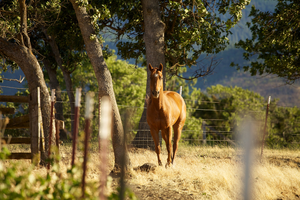
On the ranch
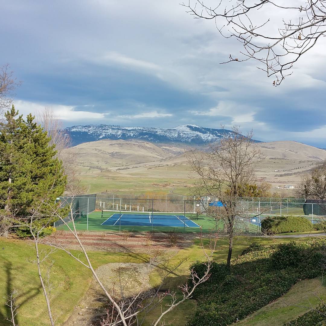
Just one view I have at Ashland hotel & Suites
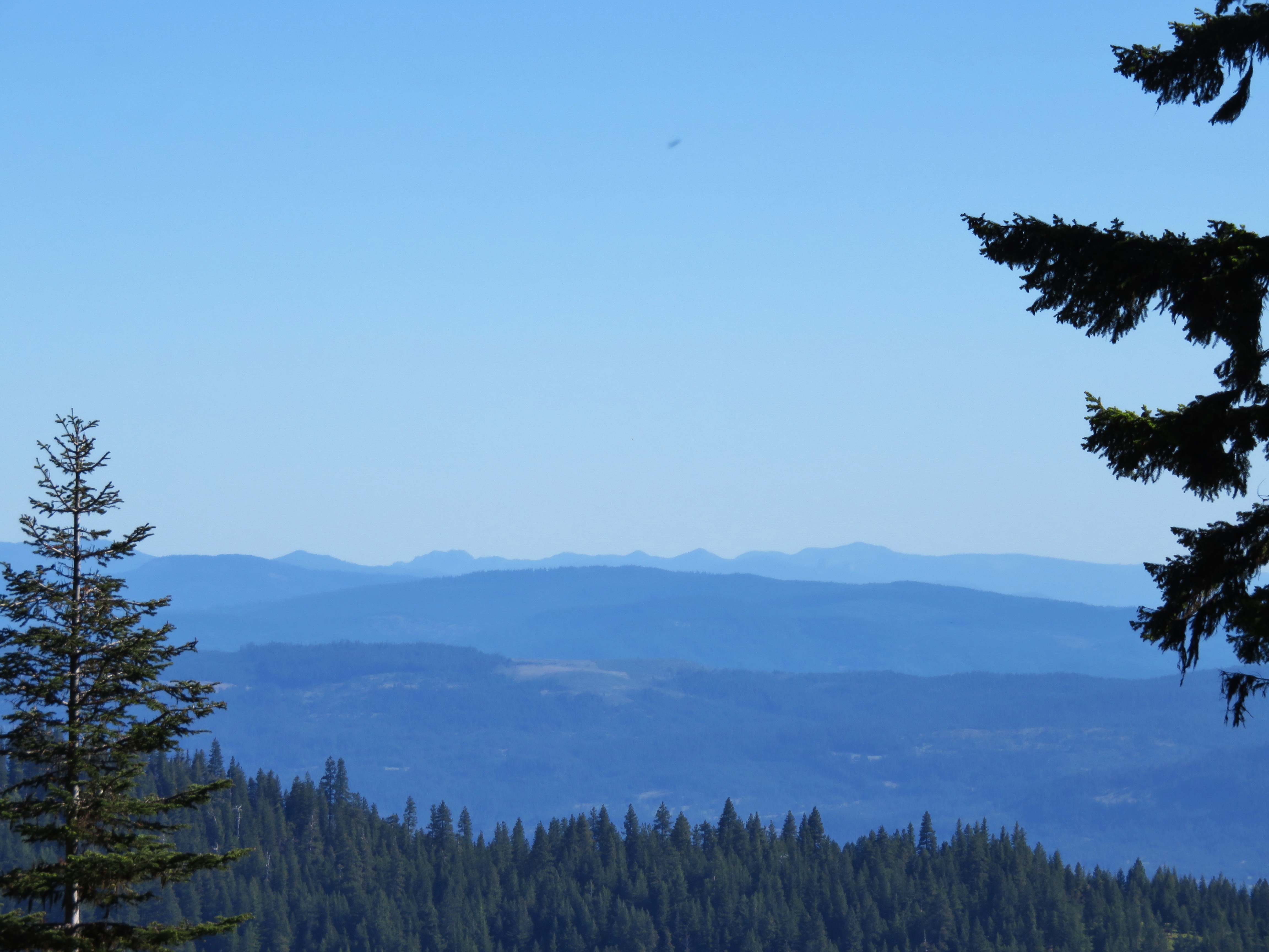
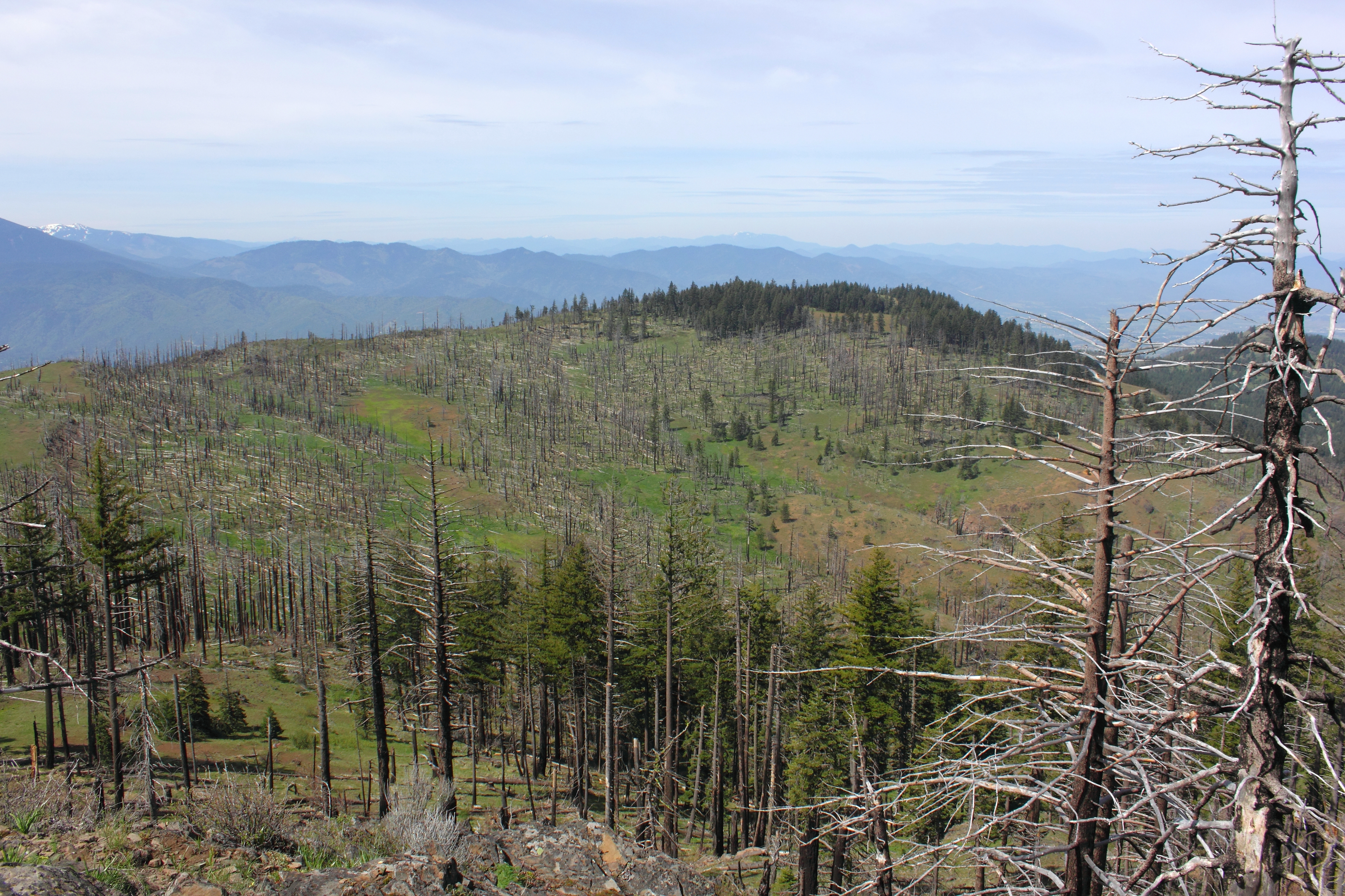
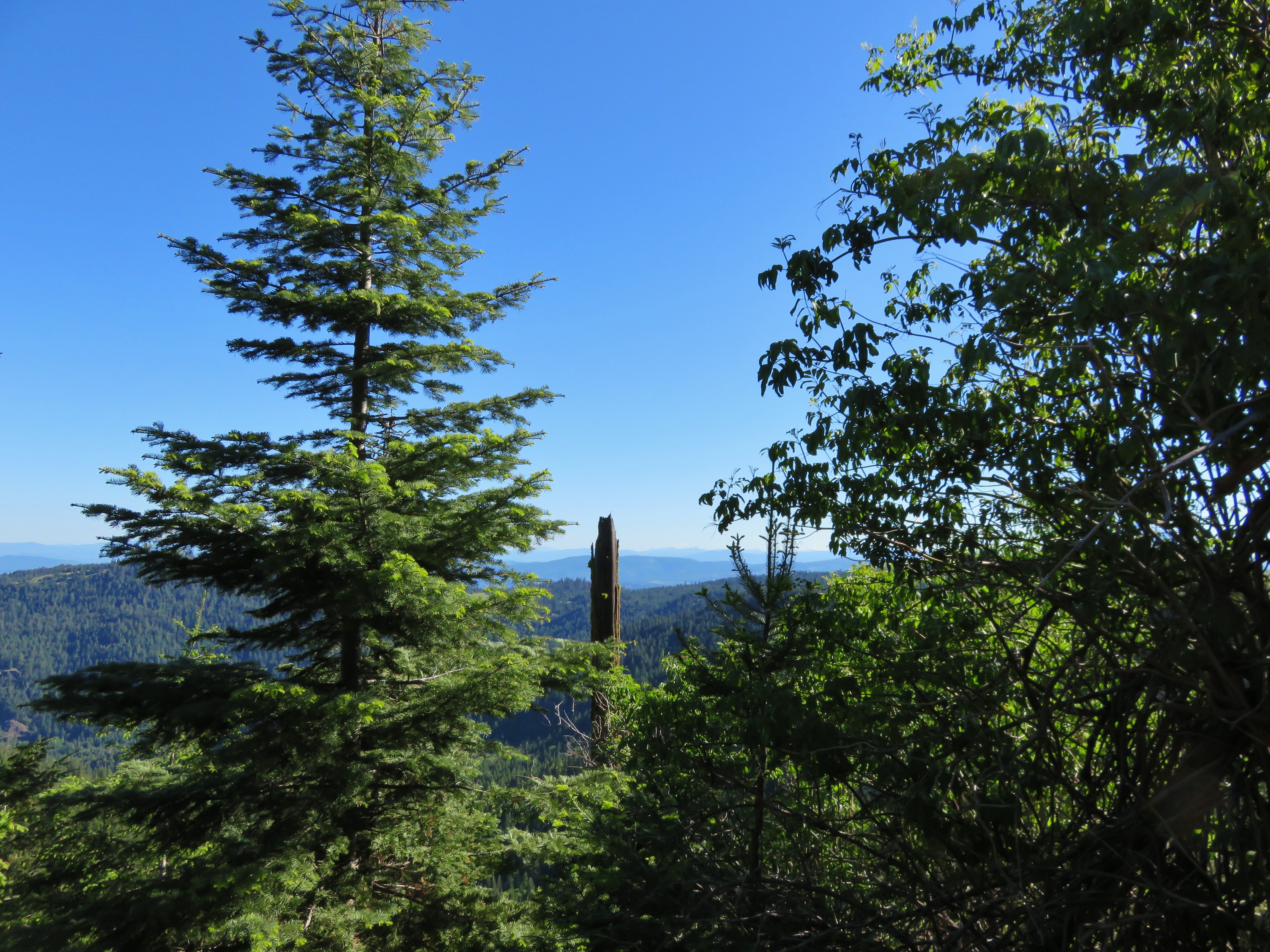
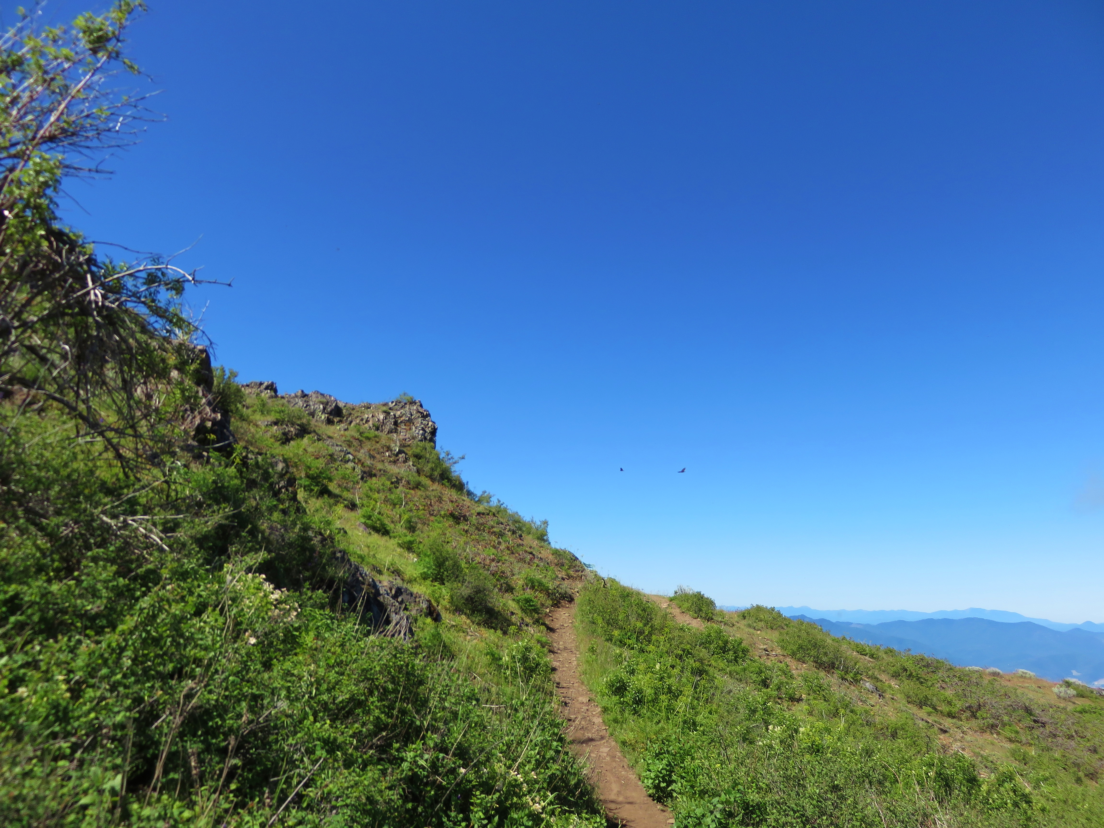
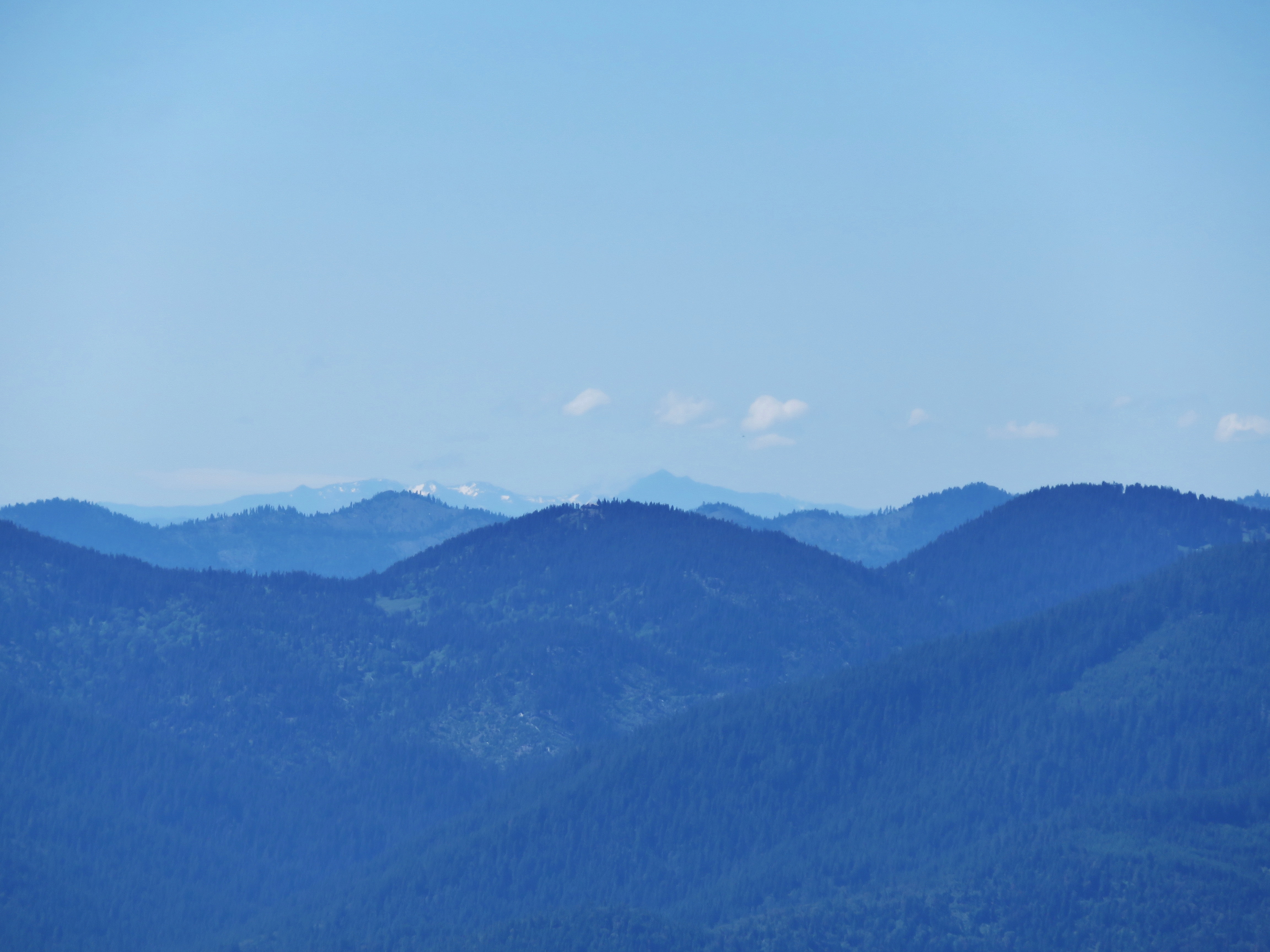
View from the Grizzly Peak Trail
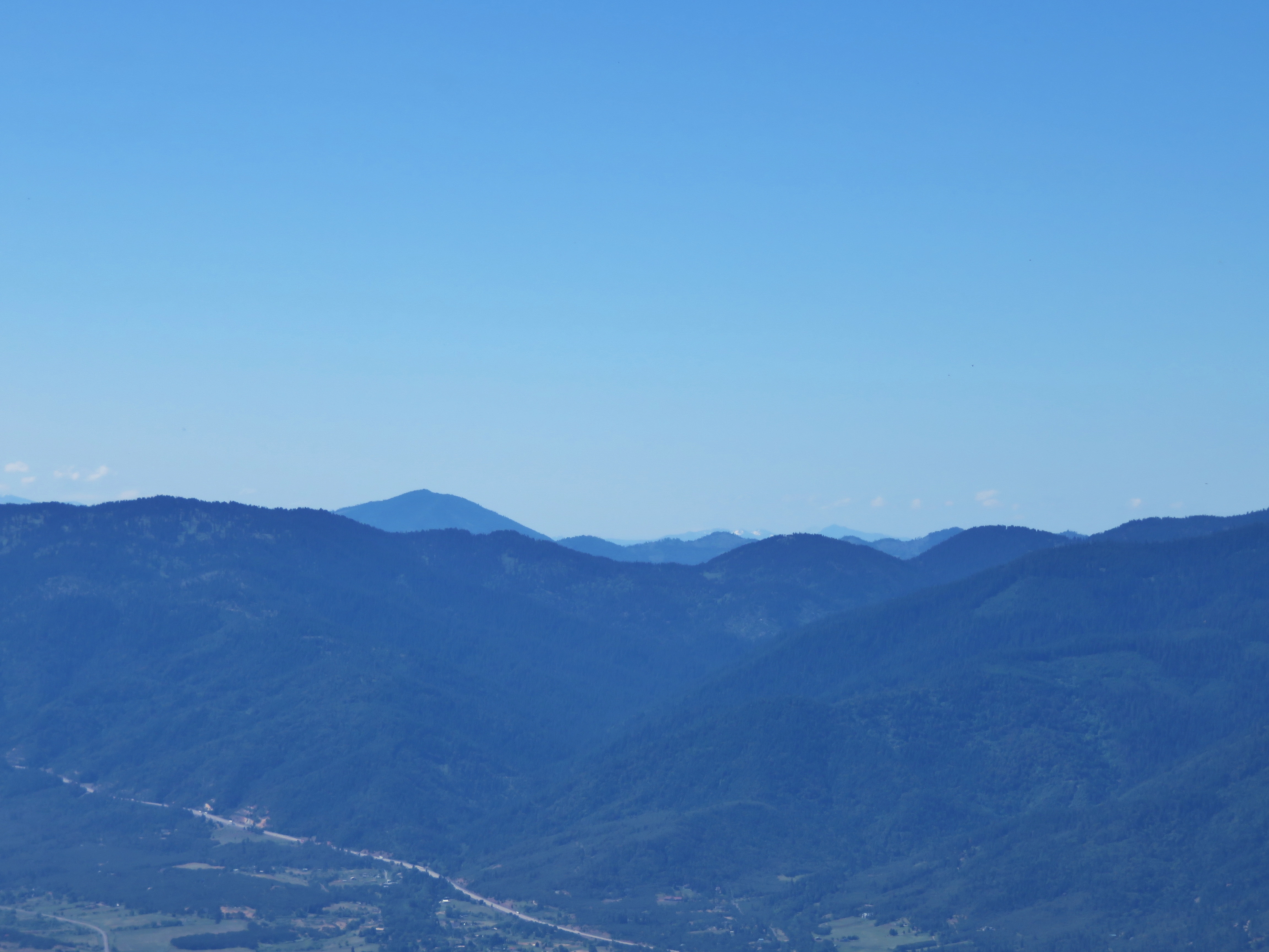
View from the Grizzly Peak Trail
View from the Grizzly Peak Trail
View to Roxy Ann Peak and Medford

View towards the city of Eagle Point

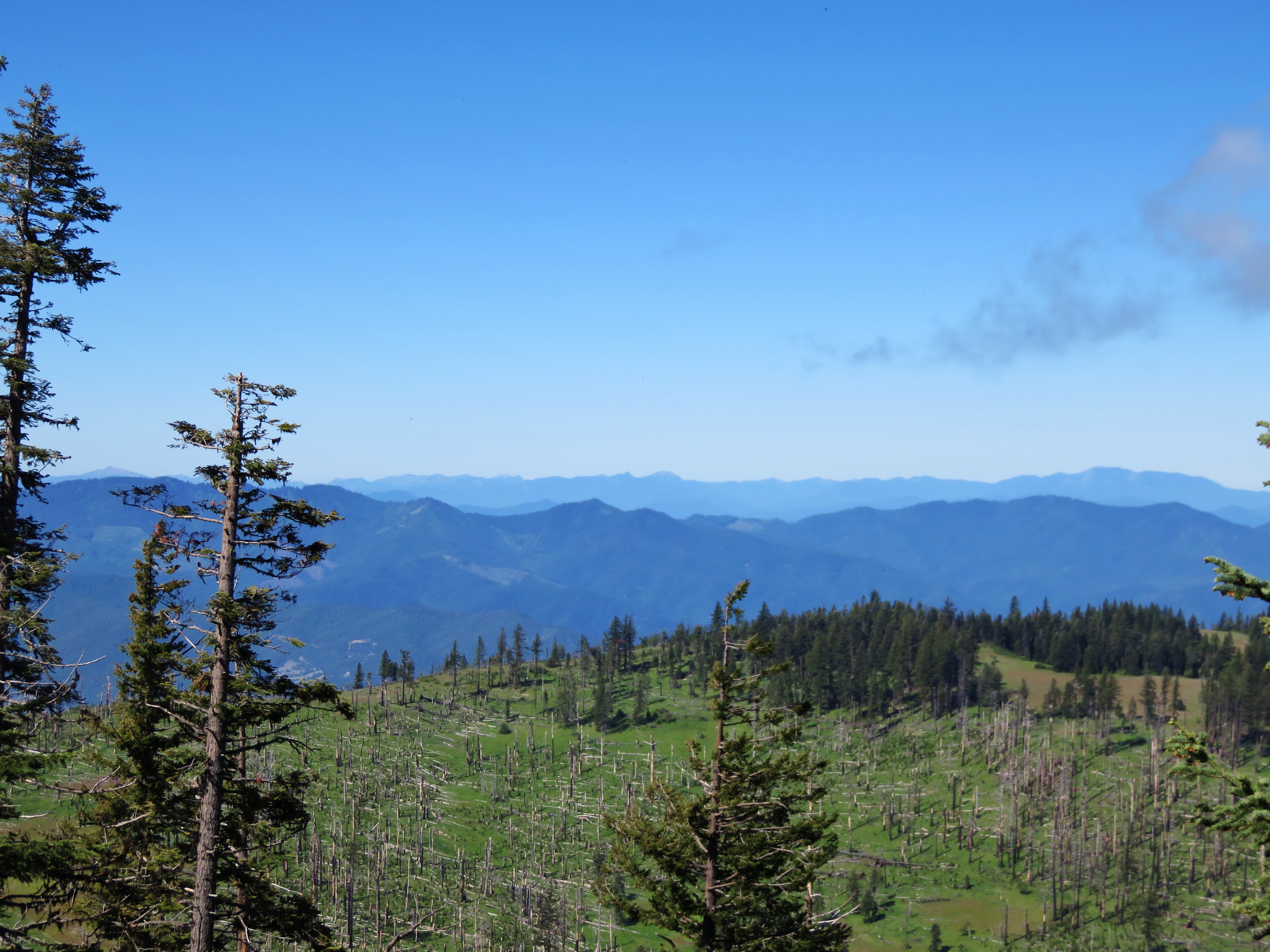
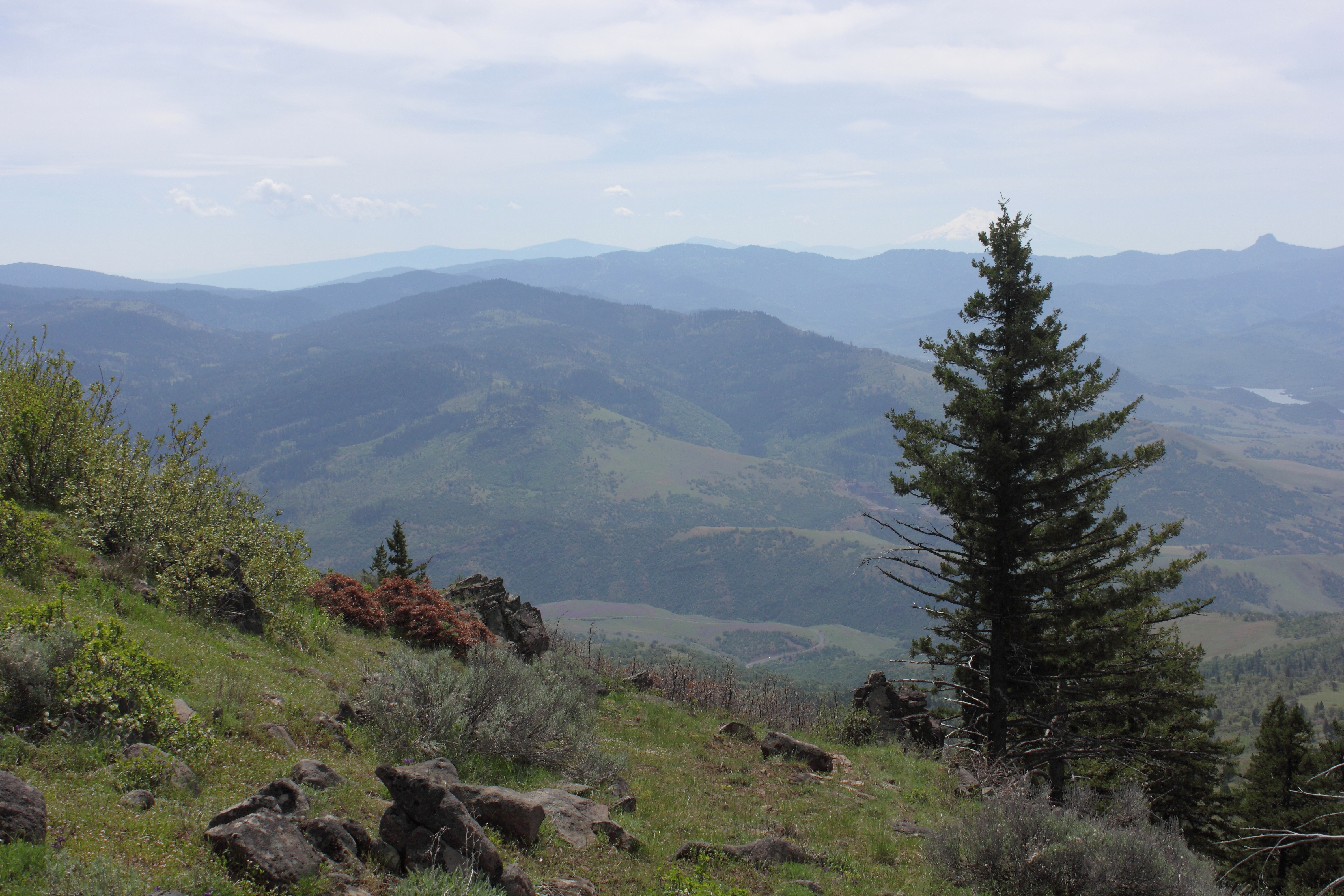
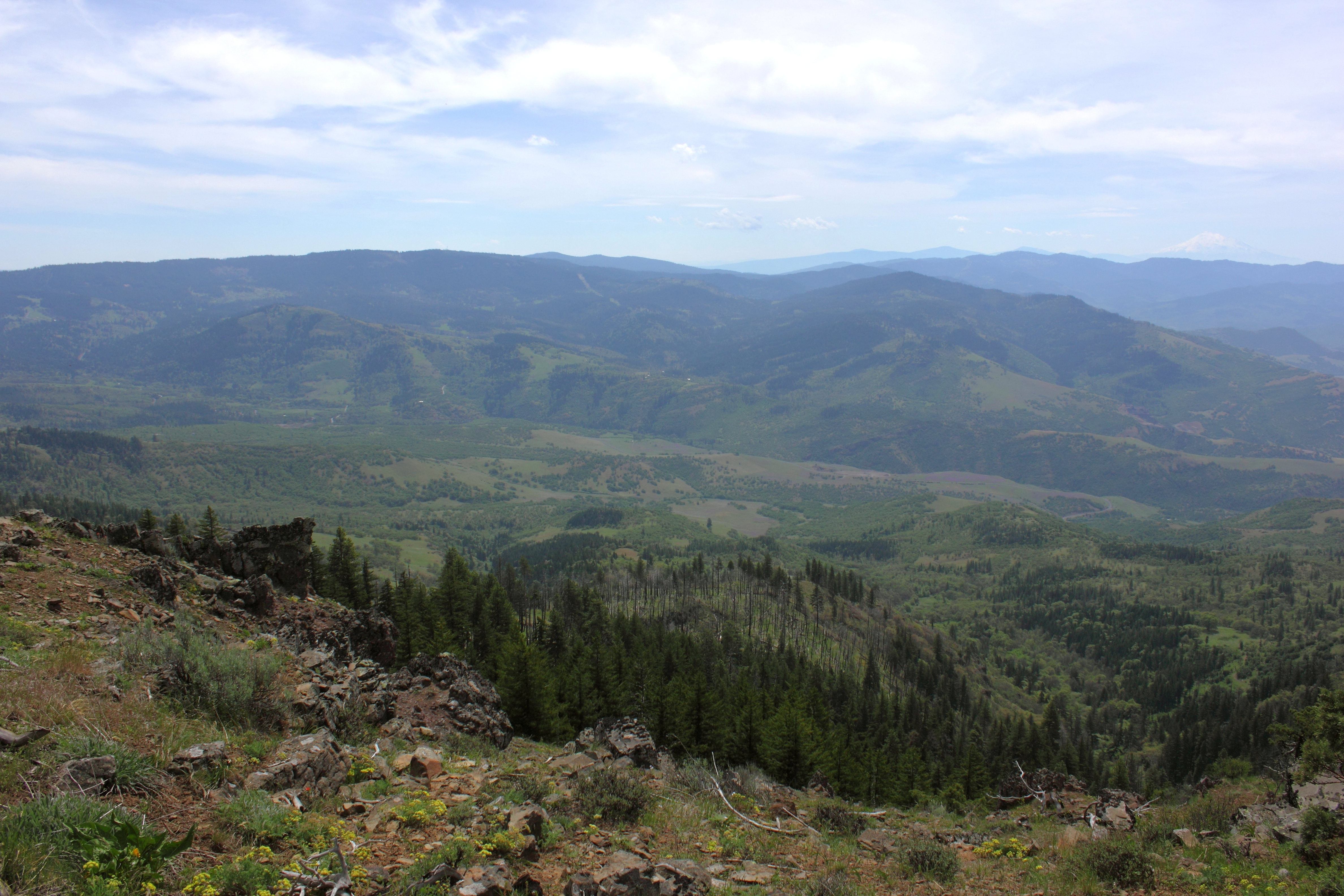
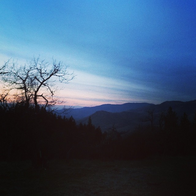
Ridge View
View from the diving platform

Ridge View
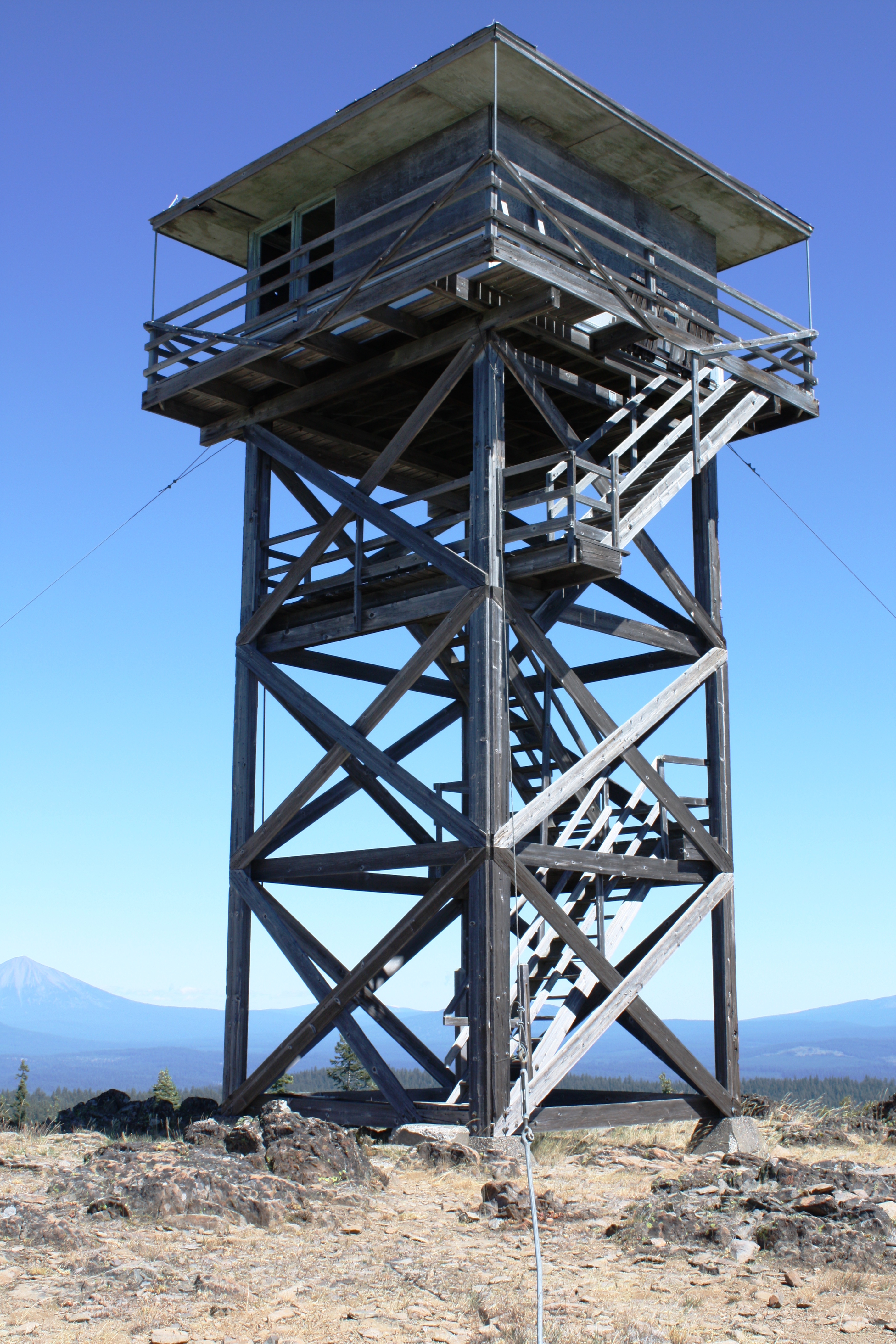
Table Mtn LO
The view impressed, despite the hazy sky

Ridge View
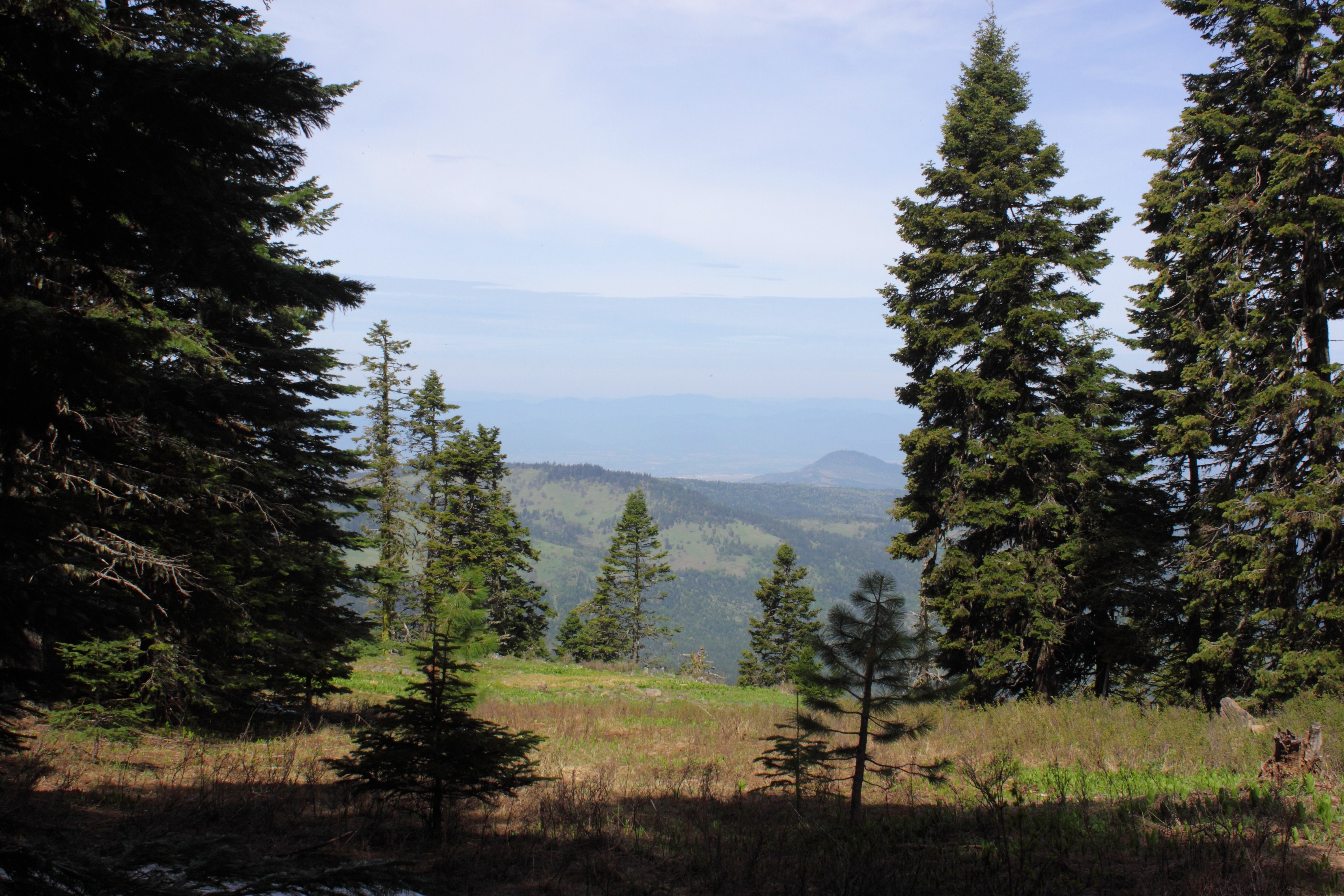
View south
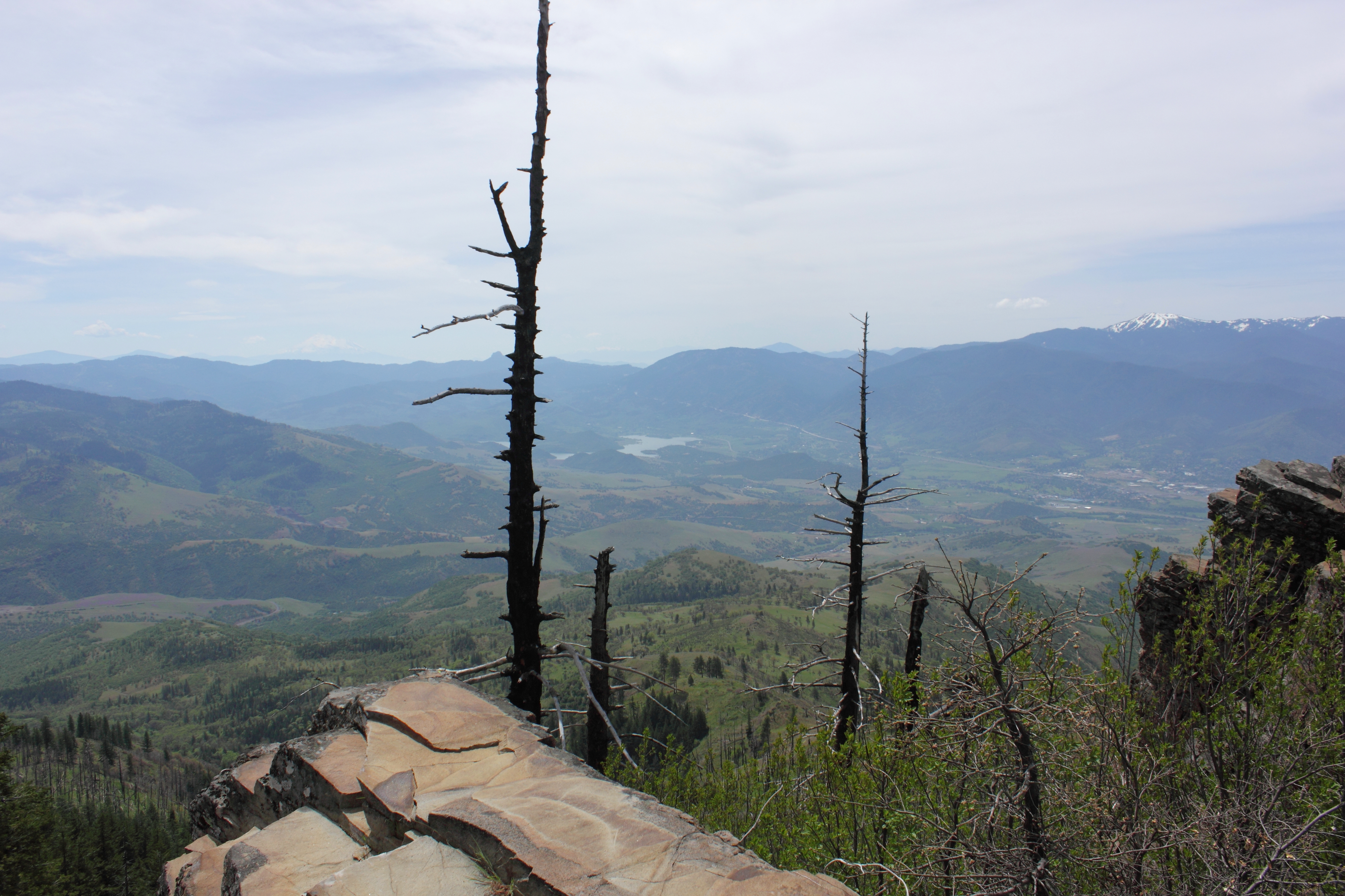
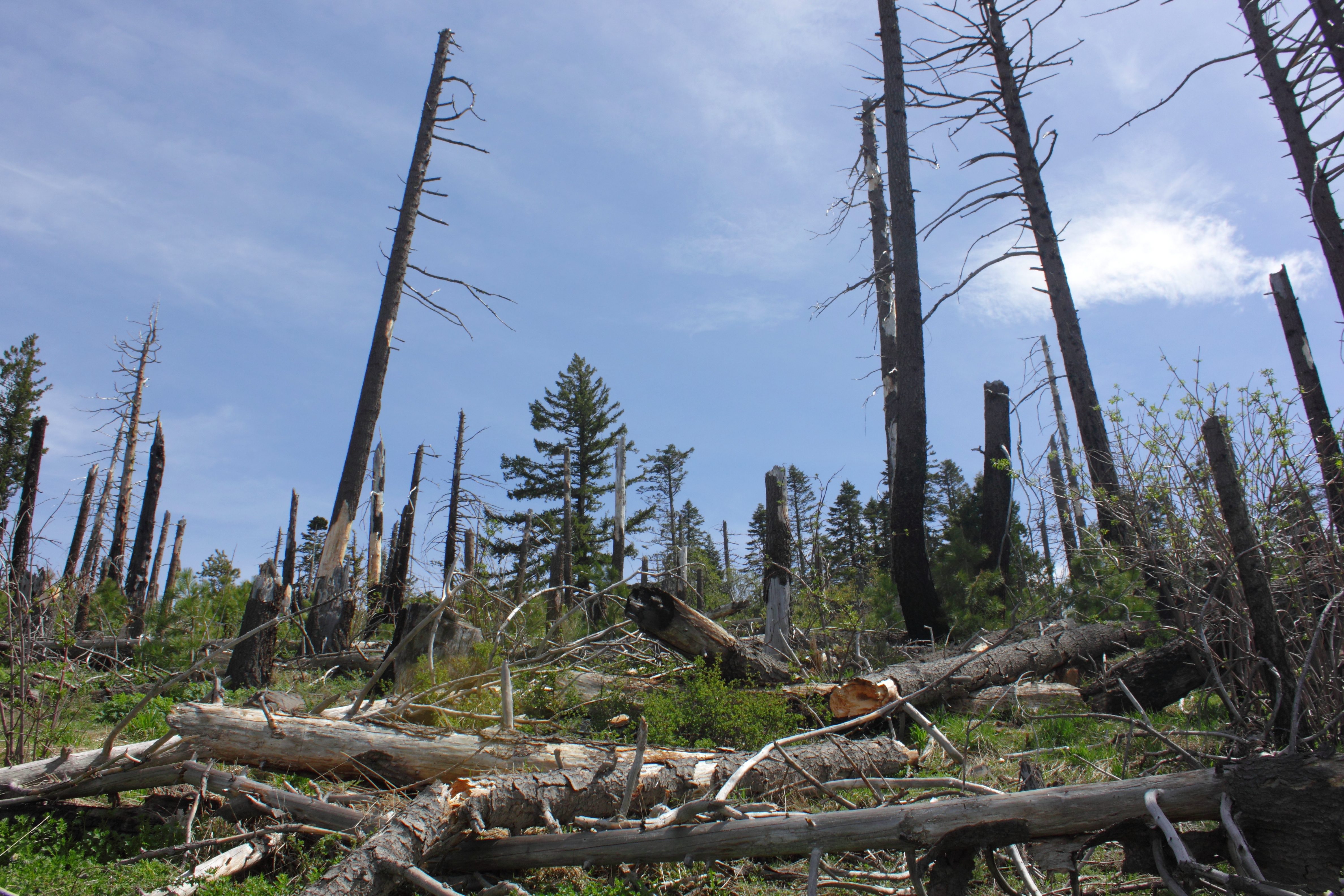
Nothing like a fire to provide a magnificent view
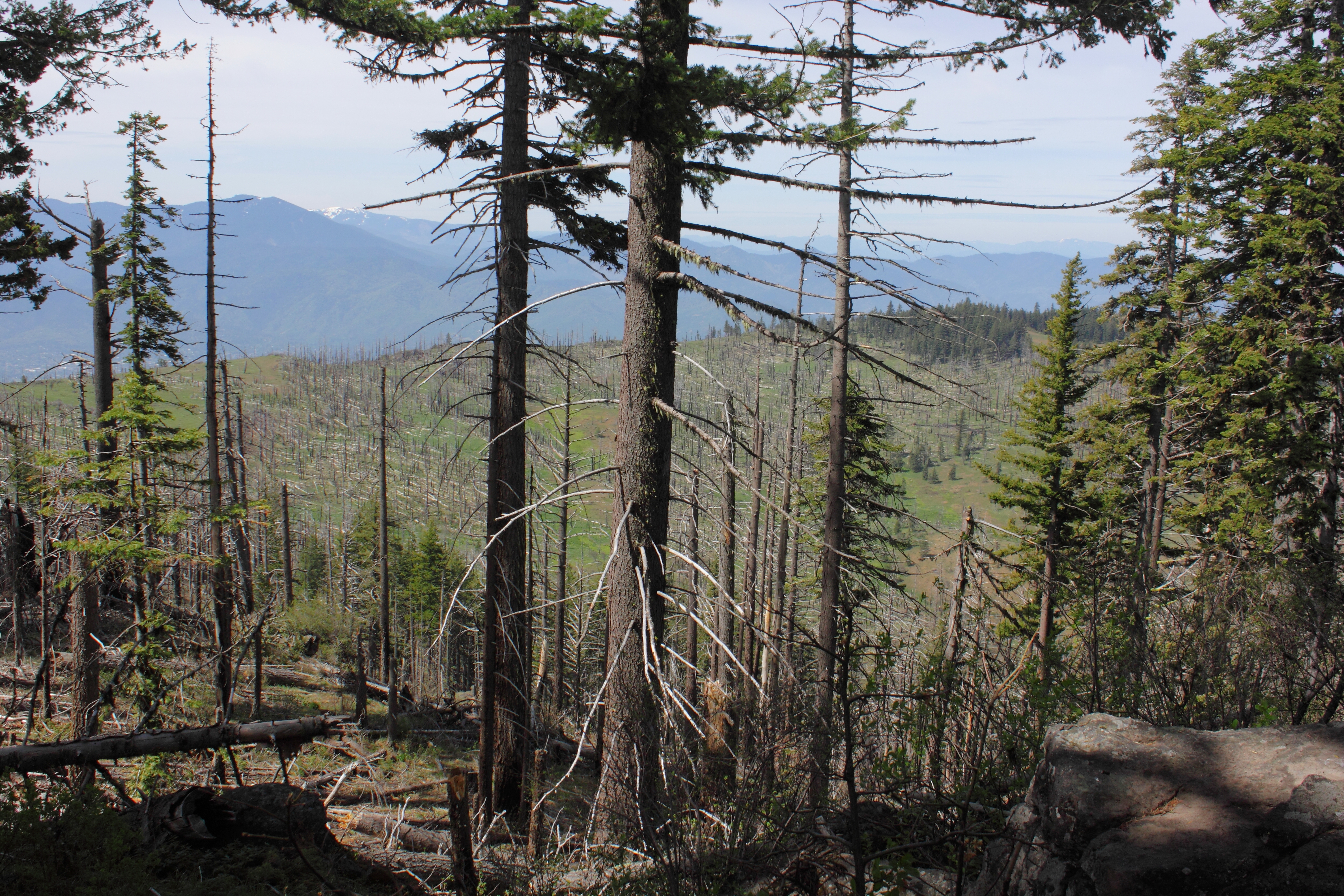
View above the trail

Ridge View

View towards Emigrant Lake
View from the Gizzly Peak Trailhead
View into the Frog and Walker Creek drainages

Ridge View
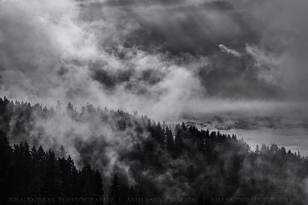
Tree Smoke
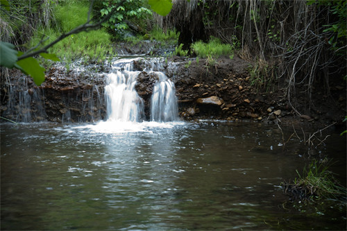
Beaver Creek Falls
October 2013

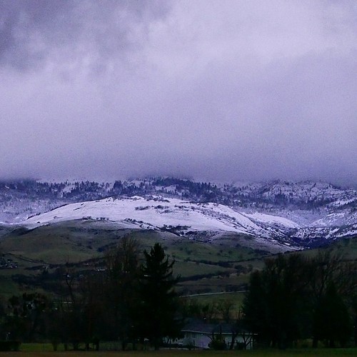
Southern Oregon from Dead Indian Memorial Road (facing Ashland)

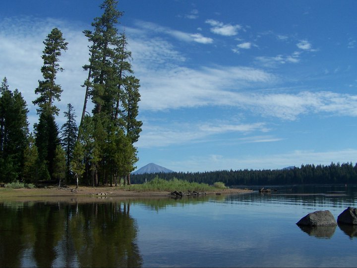
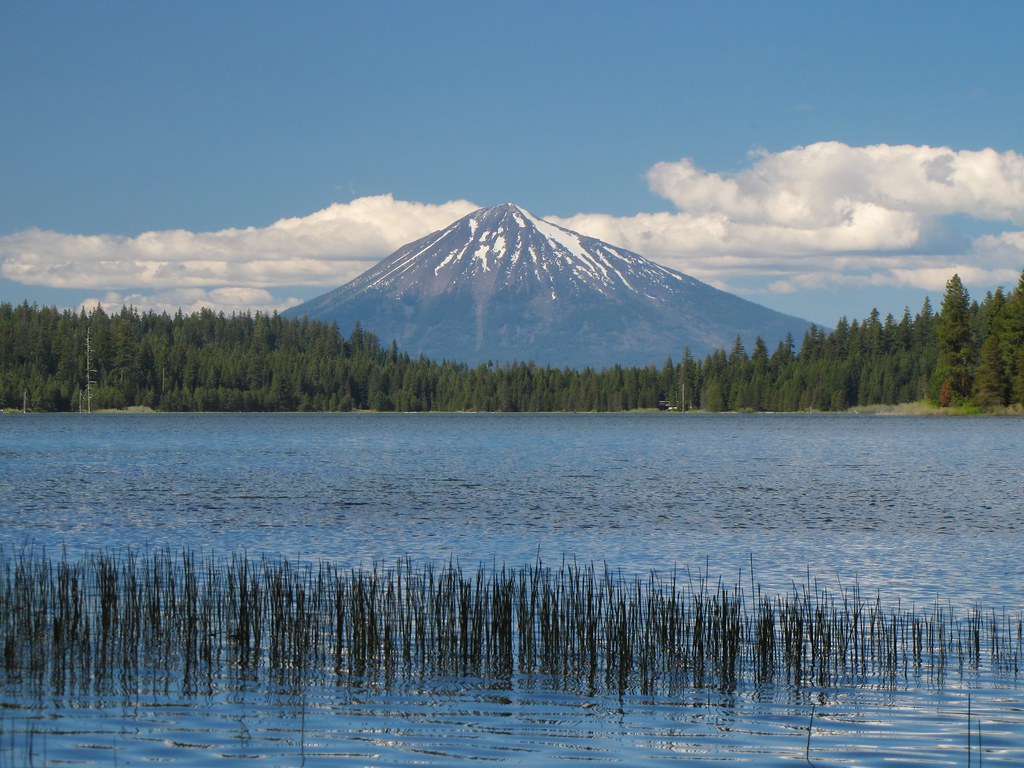
Mt. McLoughlin
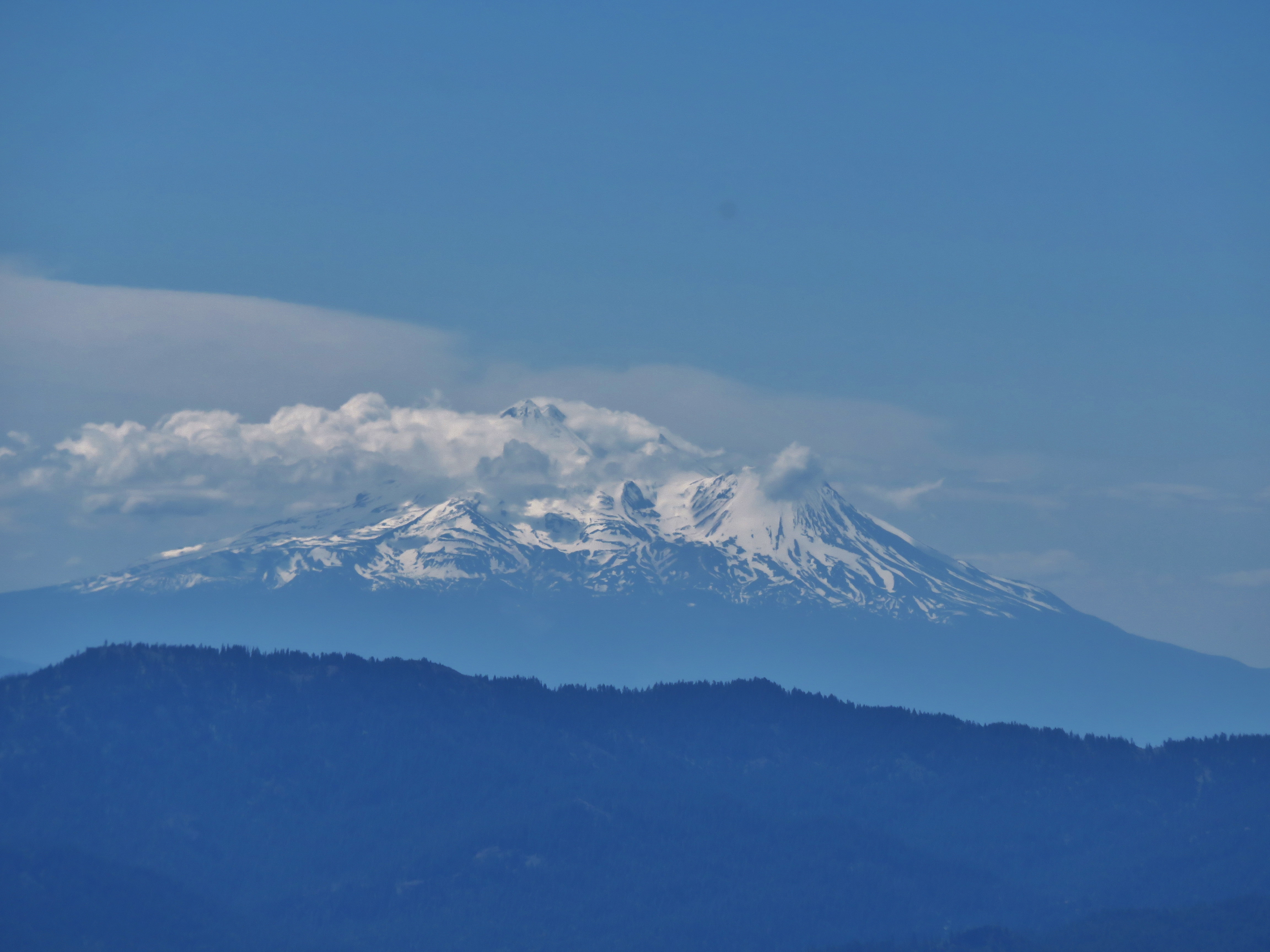
Mt. Shasta
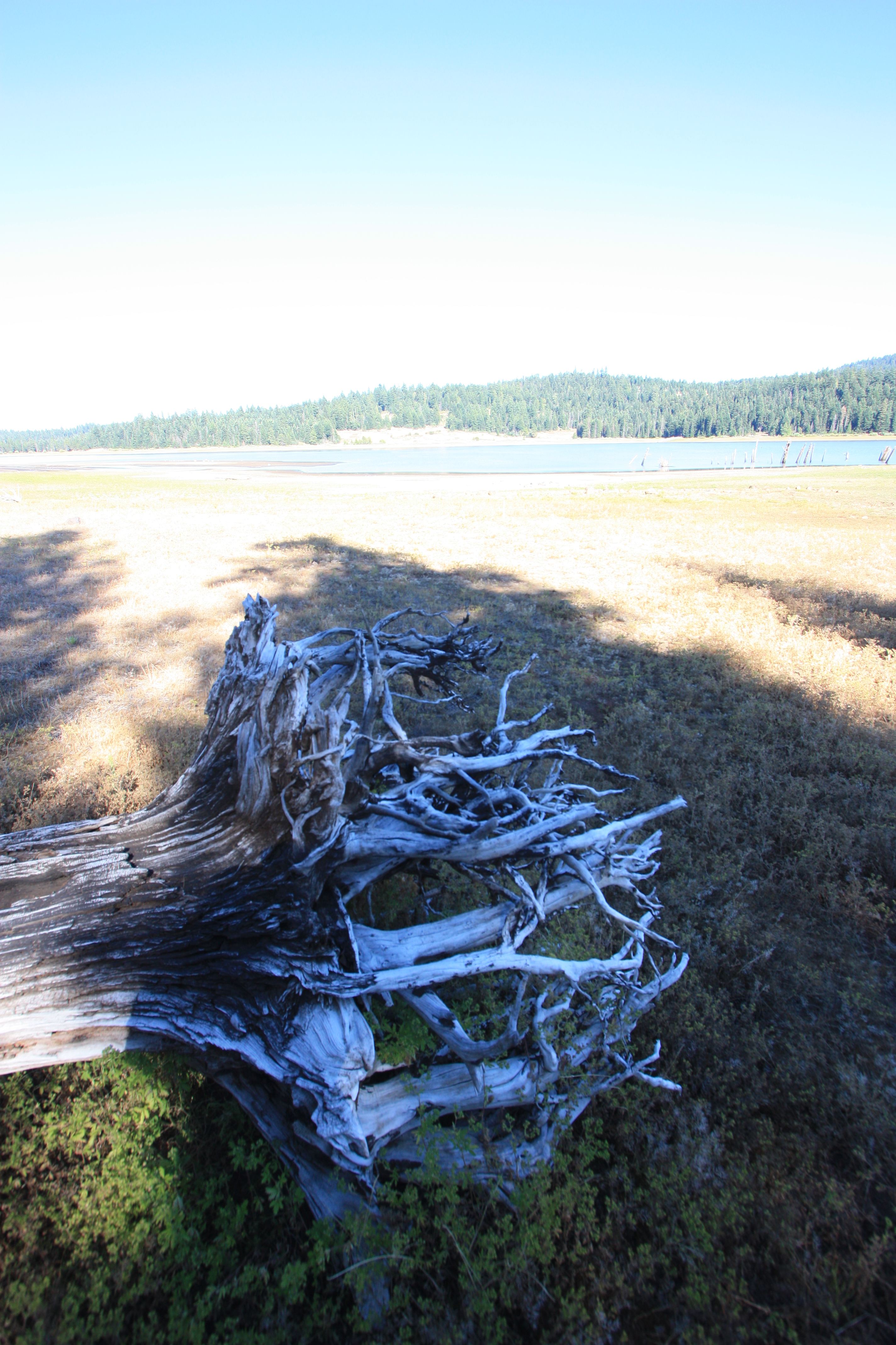
Lake Water
adhering strictly to the guidelines for uninteresting composition
Grizzly Peak Trail
Punk rockers in the woods.
Cascade Sunset

Wagner Butte from the Grizzly Peak Trail
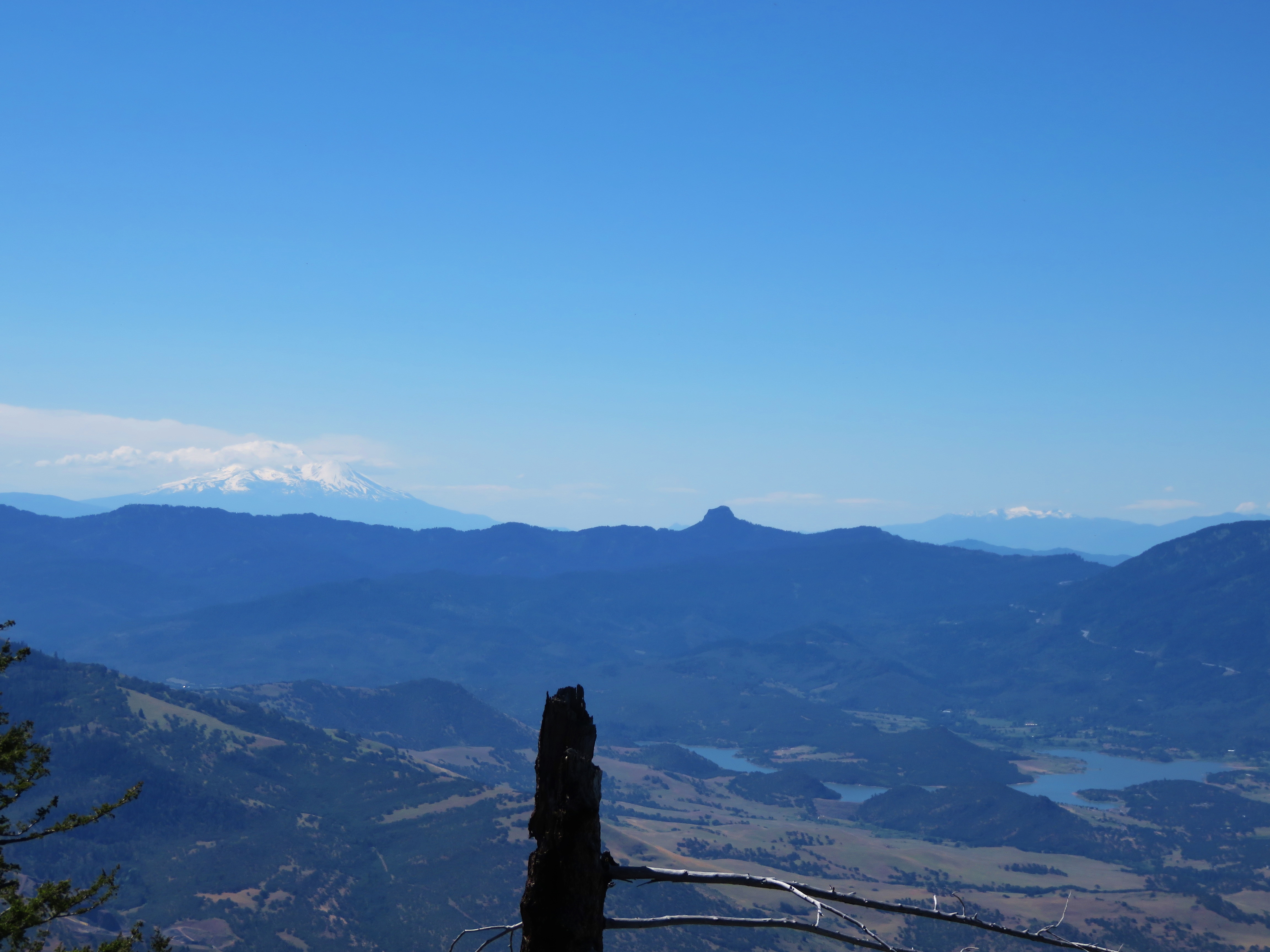
Mt. Shasta and Mt. Eddy
Winter is coming. Finally. We may actually get a white Christmas!! #AshlandOregon #Snow #tw
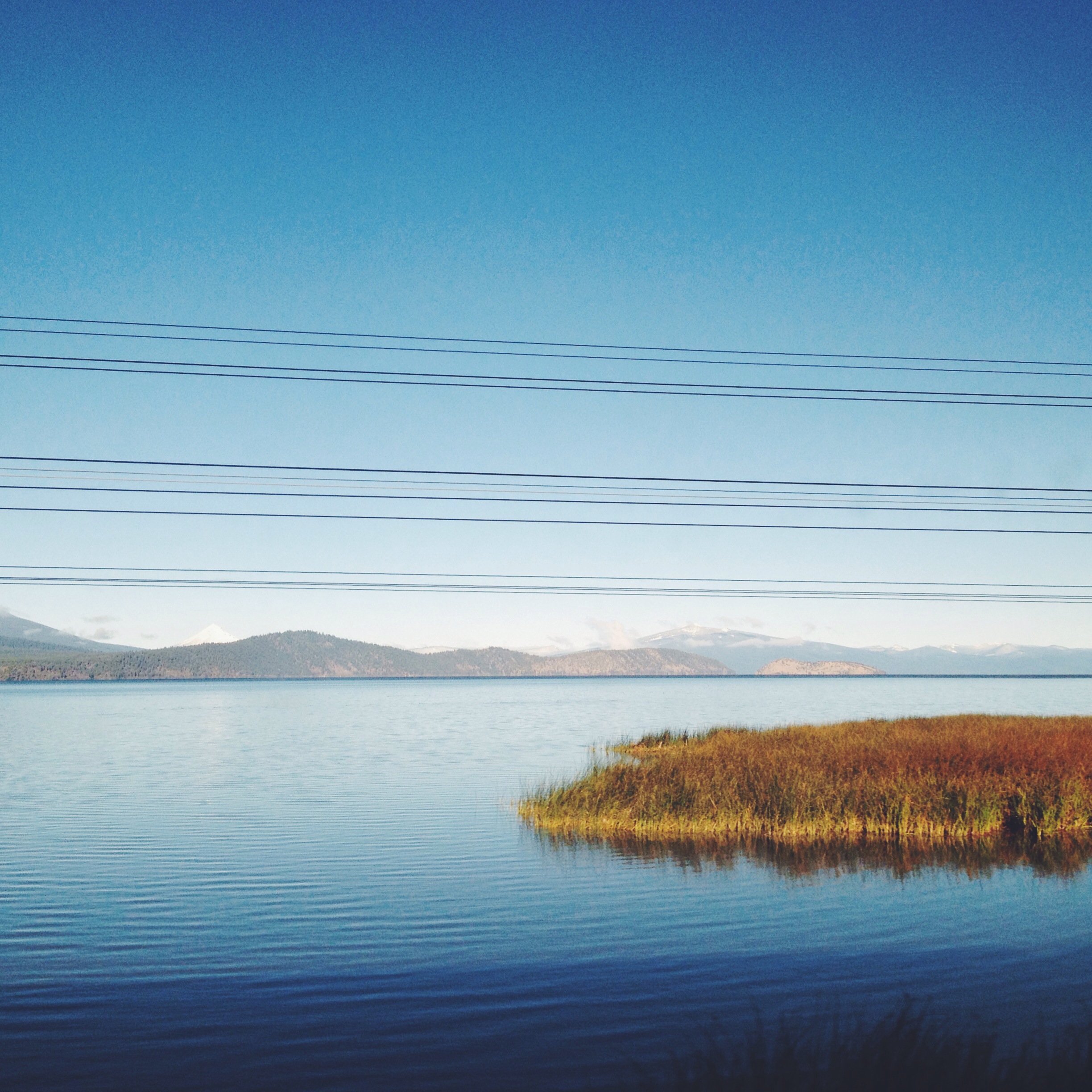
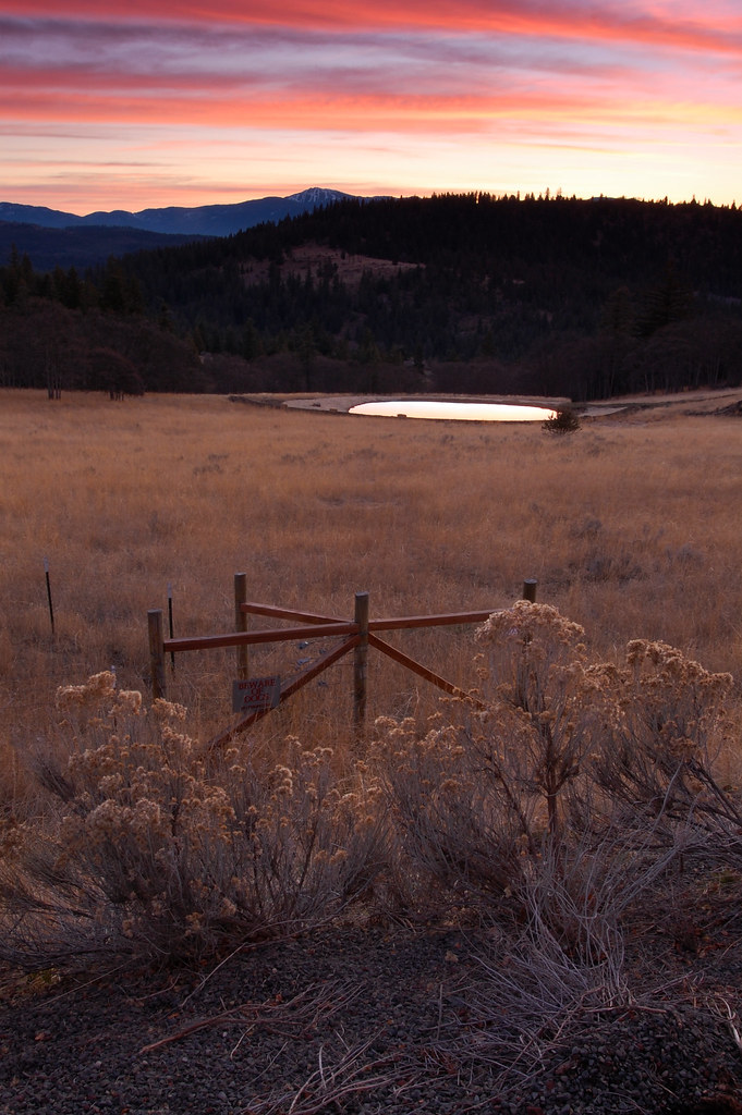
Howard Prairie Lake
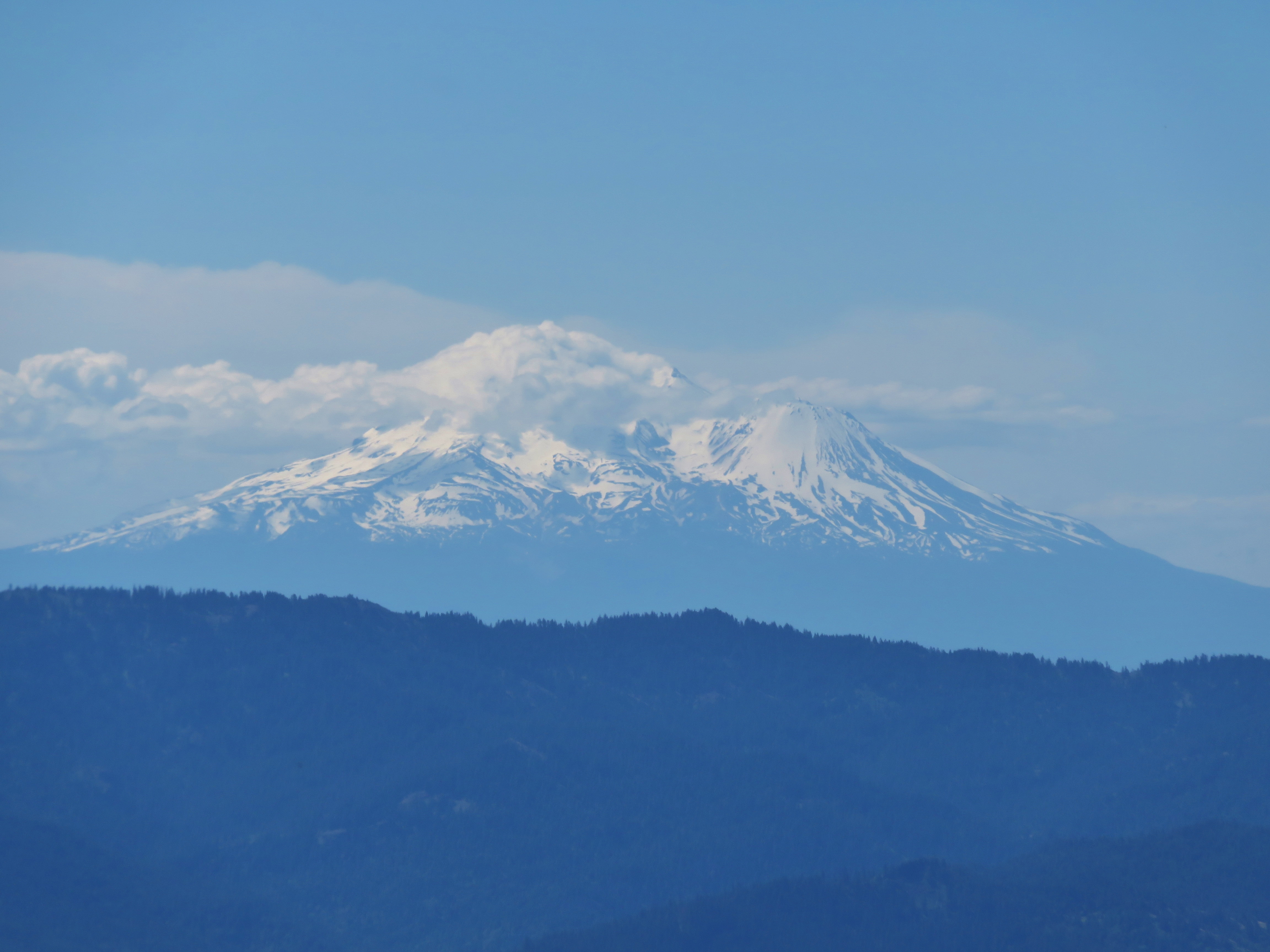
Mt. Shasta

MtShasta and the #moon! #landscape #Shasta...
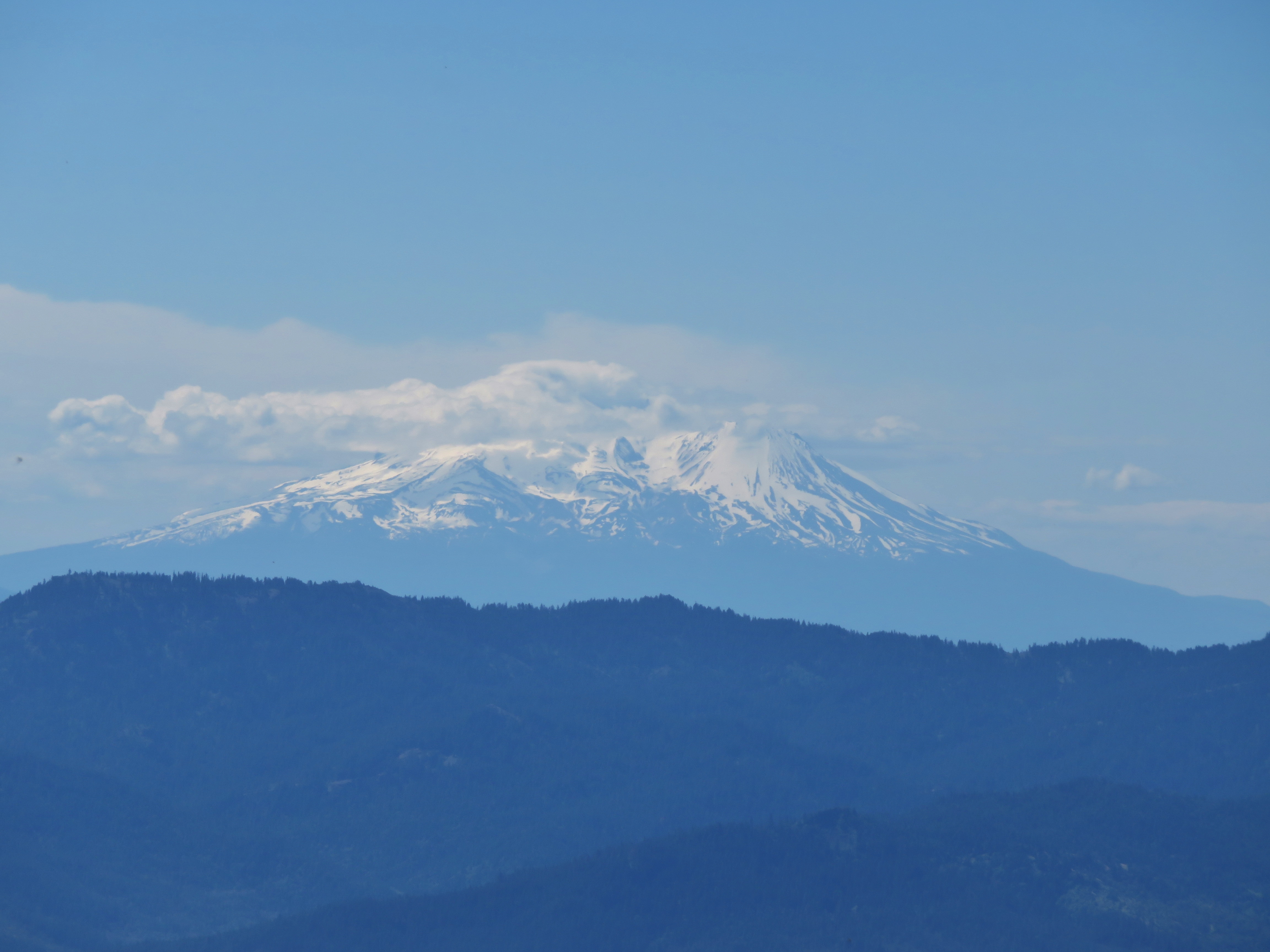
Mt. Shasta
Unidentified peak in Northern California
Topographic Map of Buck Prairie Road, Buck Prairie Rd, Ashland, OR, USA
Find elevation by address:

Places near Buck Prairie Road, Buck Prairie Rd, Ashland, OR, USA:
Buck Prairie
Ashland, OR, USA
15787 Dead Indian Memorial Rd
7672 Hyatt Prairie Rd
7682 Hyatt Prairie Rd
6706 E Hyatt Lake Rd
4901 E Hyatt Lake Rd
2044 Hyatt Prairie Rd
1940 Hyatt Prairie Rd
3365 Hyatt Prairie Rd
3365 Hyatt Prairie Rd
Howard Prairie Rd, Ashland, OR, USA
Howard Prairie Lake
8698 Dead Indian Memorial Rd
Dead Indian Memorial Road
20020 Dead Indian Memorial Rd
8055 Dead Indian Memorial Rd
3003 Cove Rd
8007 Dead Indian Memorial Rd
8009 Dead Indian Memorial Rd
Recent Searches:
- Elevation of Corso Fratelli Cairoli, 35, Macerata MC, Italy
- Elevation of Tallevast Rd, Sarasota, FL, USA
- Elevation of 4th St E, Sonoma, CA, USA
- Elevation of Black Hollow Rd, Pennsdale, PA, USA
- Elevation of Oakland Ave, Williamsport, PA, USA
- Elevation of Pedrógão Grande, Portugal
- Elevation of Klee Dr, Martinsburg, WV, USA
- Elevation of Via Roma, Pieranica CR, Italy
- Elevation of Tavkvetili Mountain, Georgia
- Elevation of Hartfords Bluff Cir, Mt Pleasant, SC, USA