Elevation of Dead Indian Memorial Road, Dead Indian Memorial Rd, Ashland, OR, USA
Location: United States > Oregon > Jackson County > Ashland >
Longitude: -122.41481
Latitude: 42.2814456
Elevation: 1401m / 4596feet
Barometric Pressure: 86KPa
Elevation Map:
Satellite Map:
Related Photos:
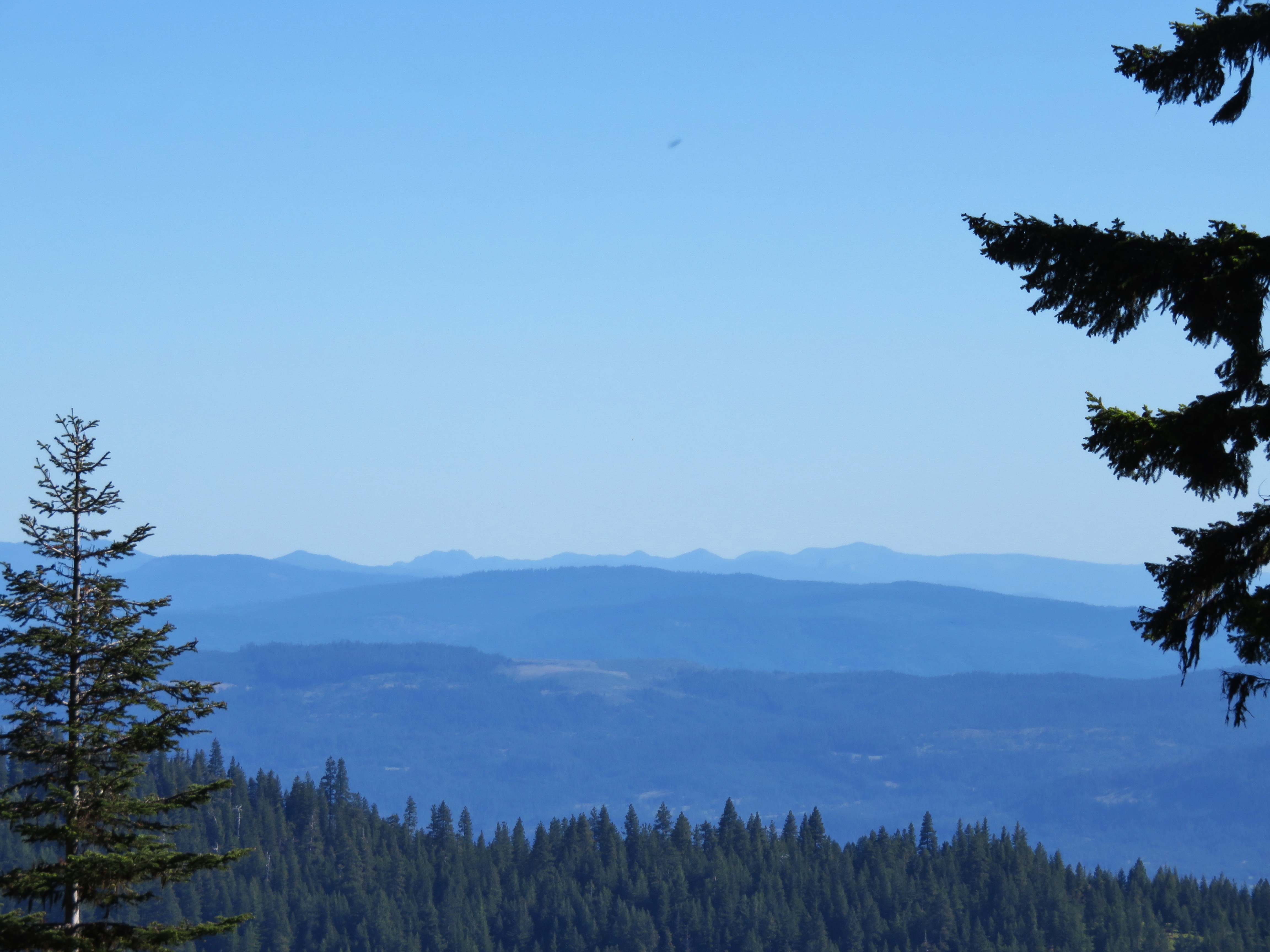
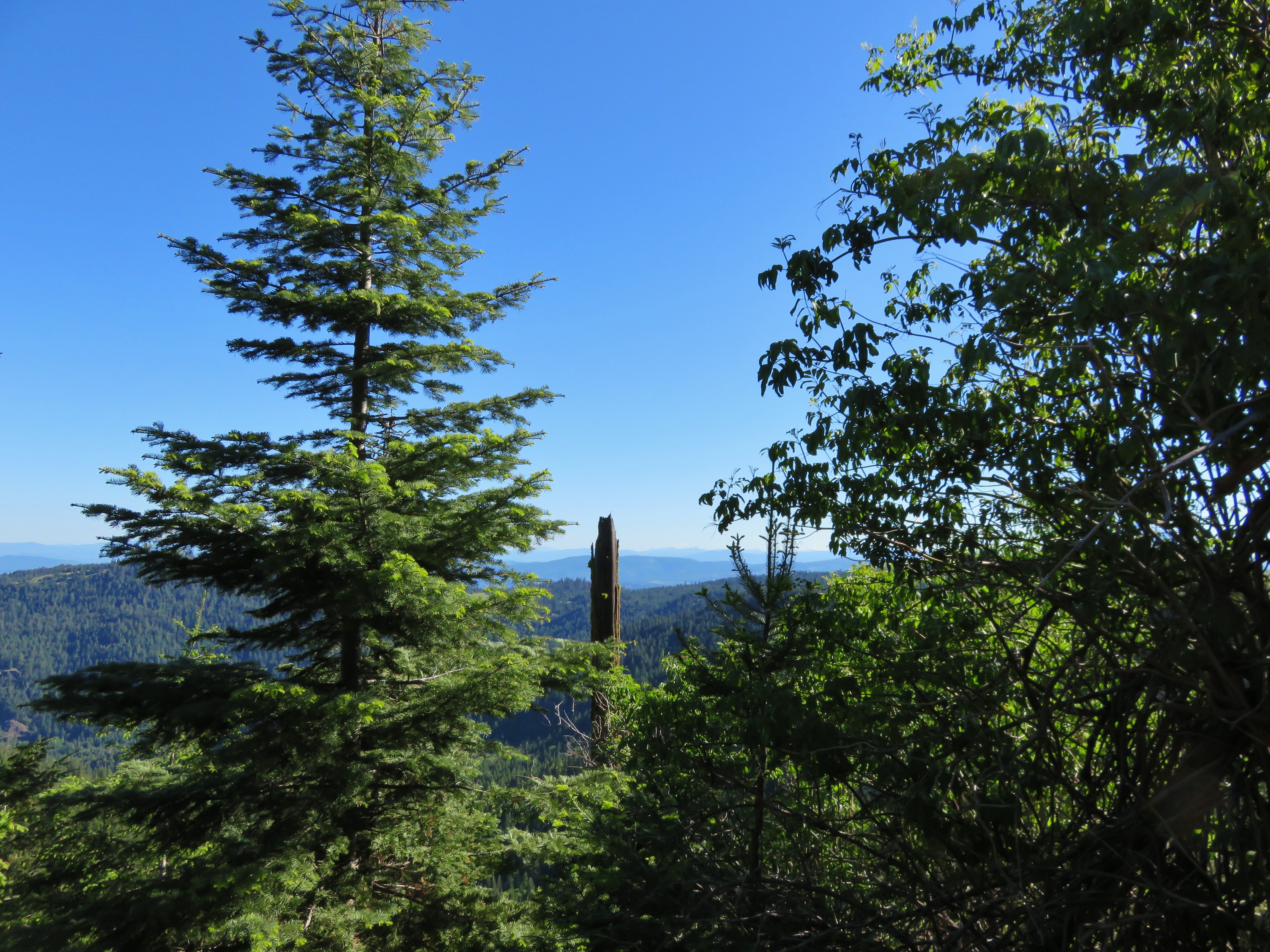
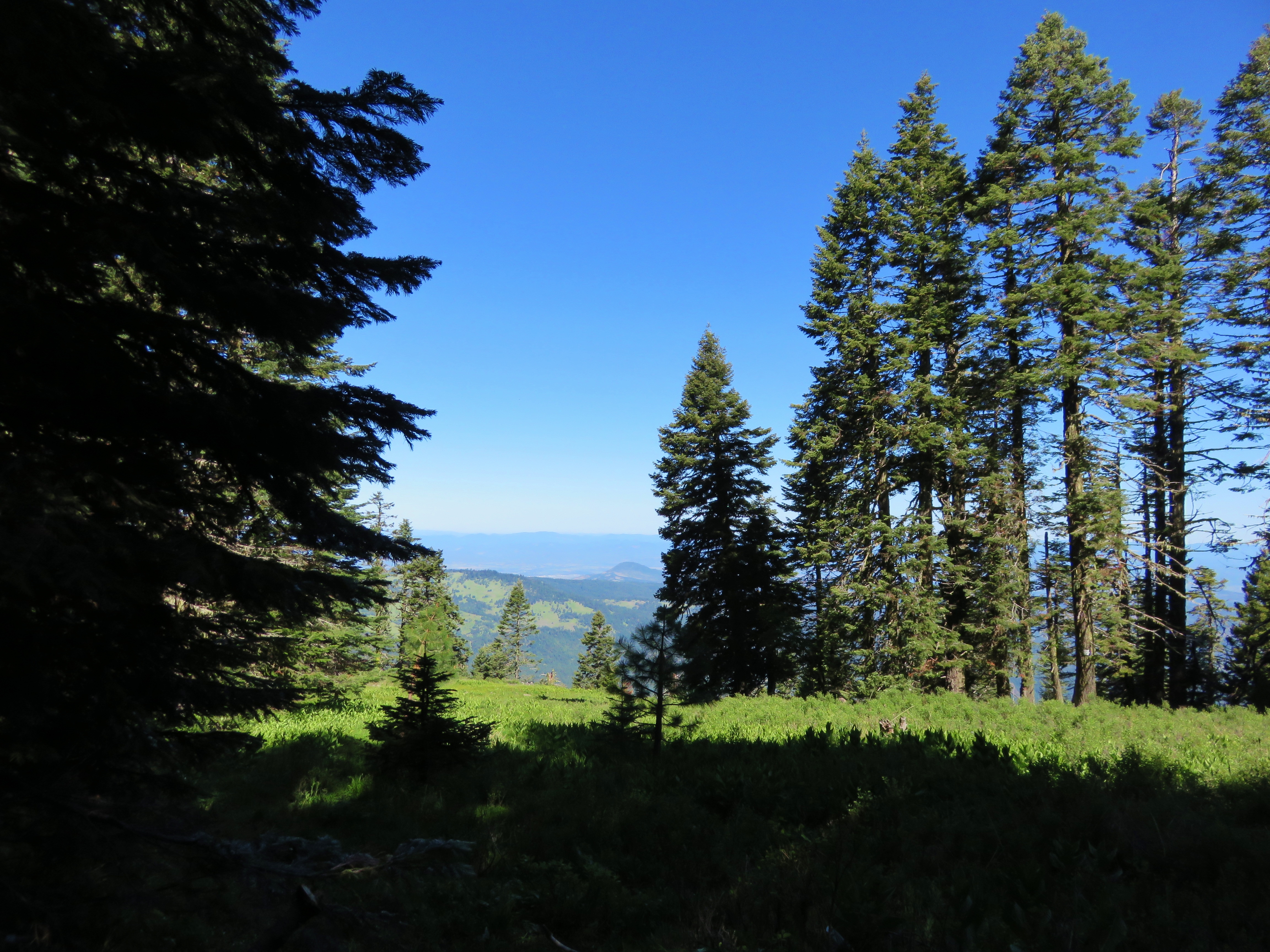
View from the Grizzly Peak Trail
View from the Grizzly Peak Trail
View from the Grizzly Peak Trail
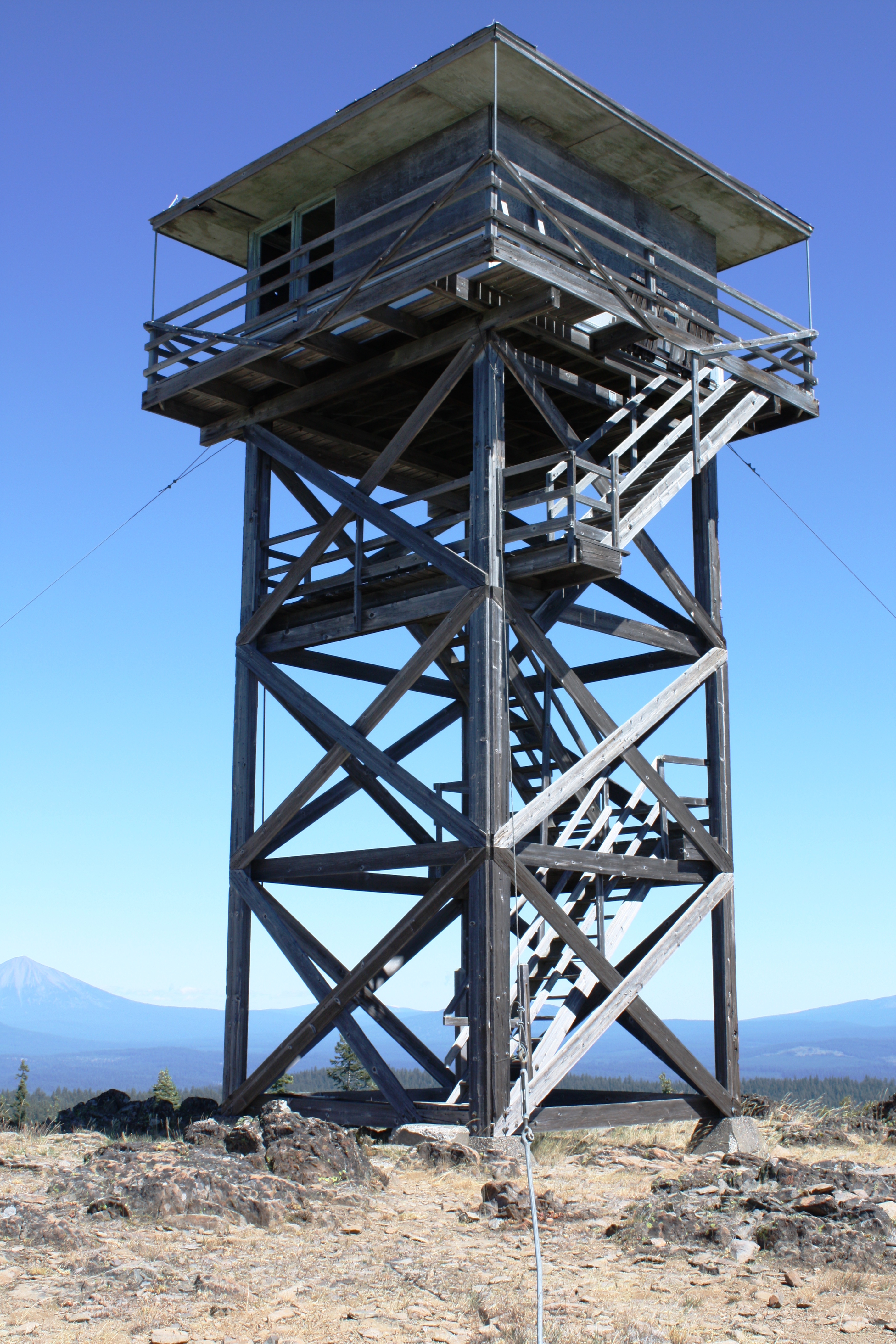
Table Mtn LO
View from the Gizzly Peak Trailhead
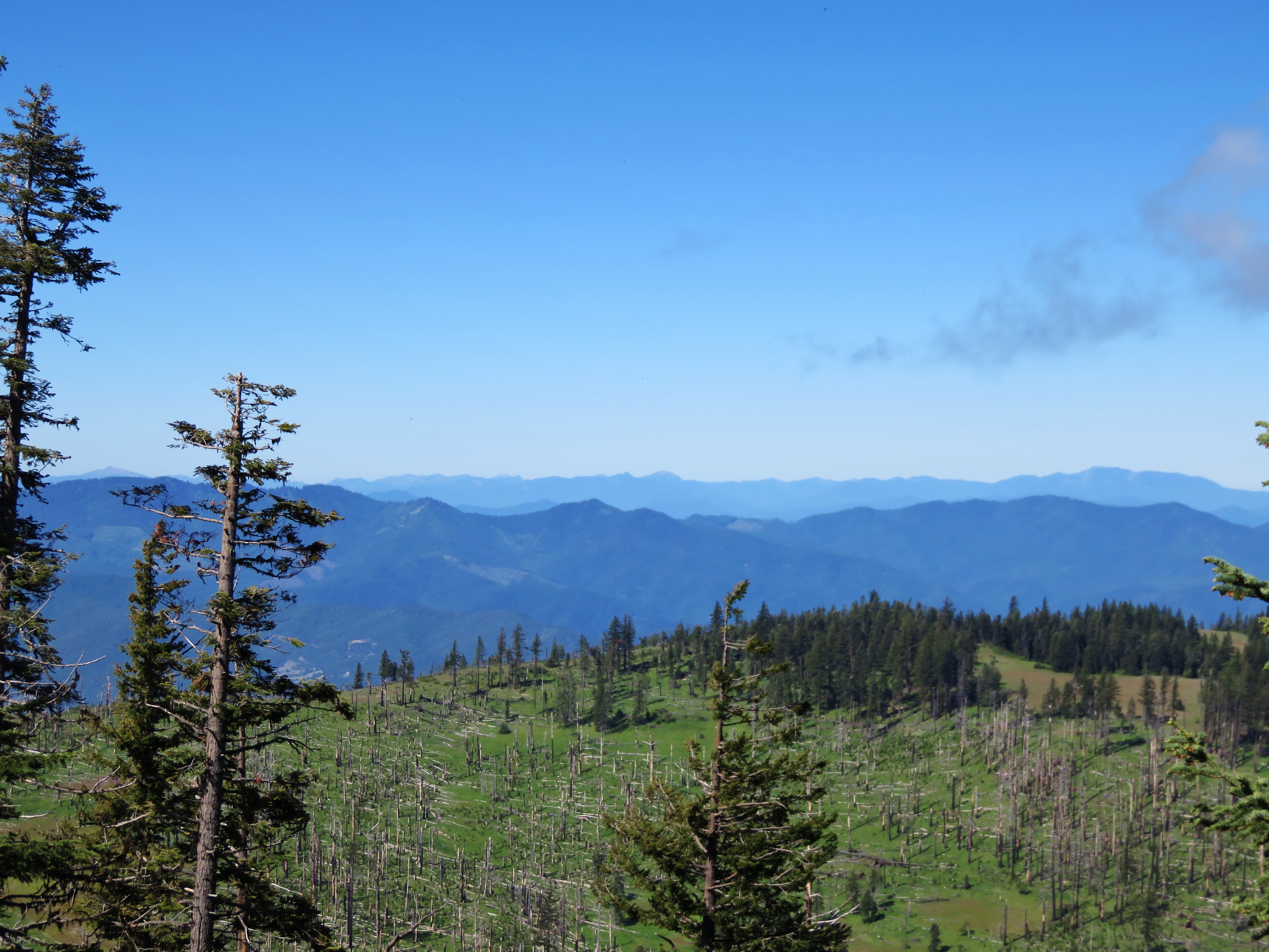
View from Grizzly Peak
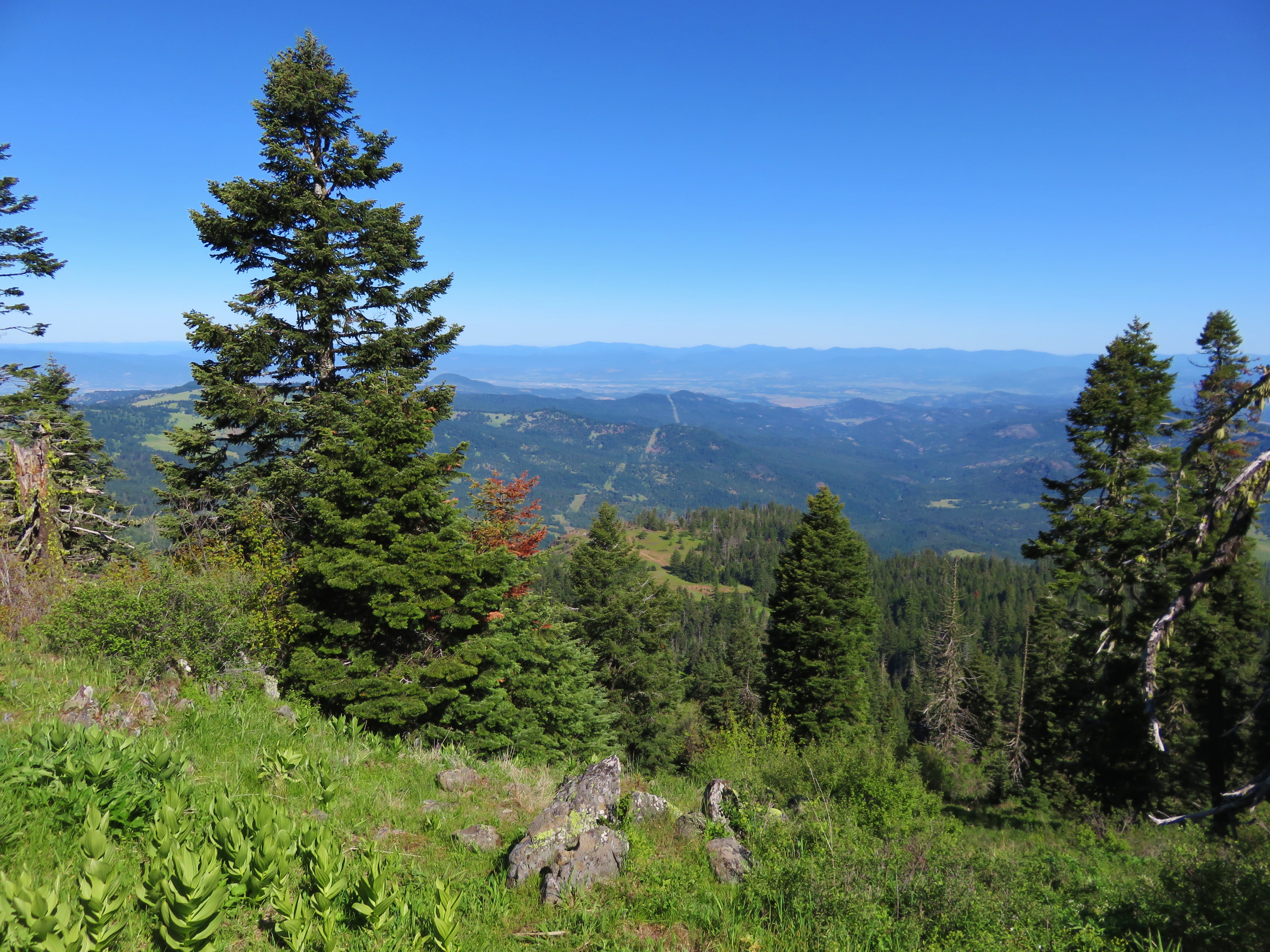
View from Grizzly Peak
View from the Grizzly Peak Trail
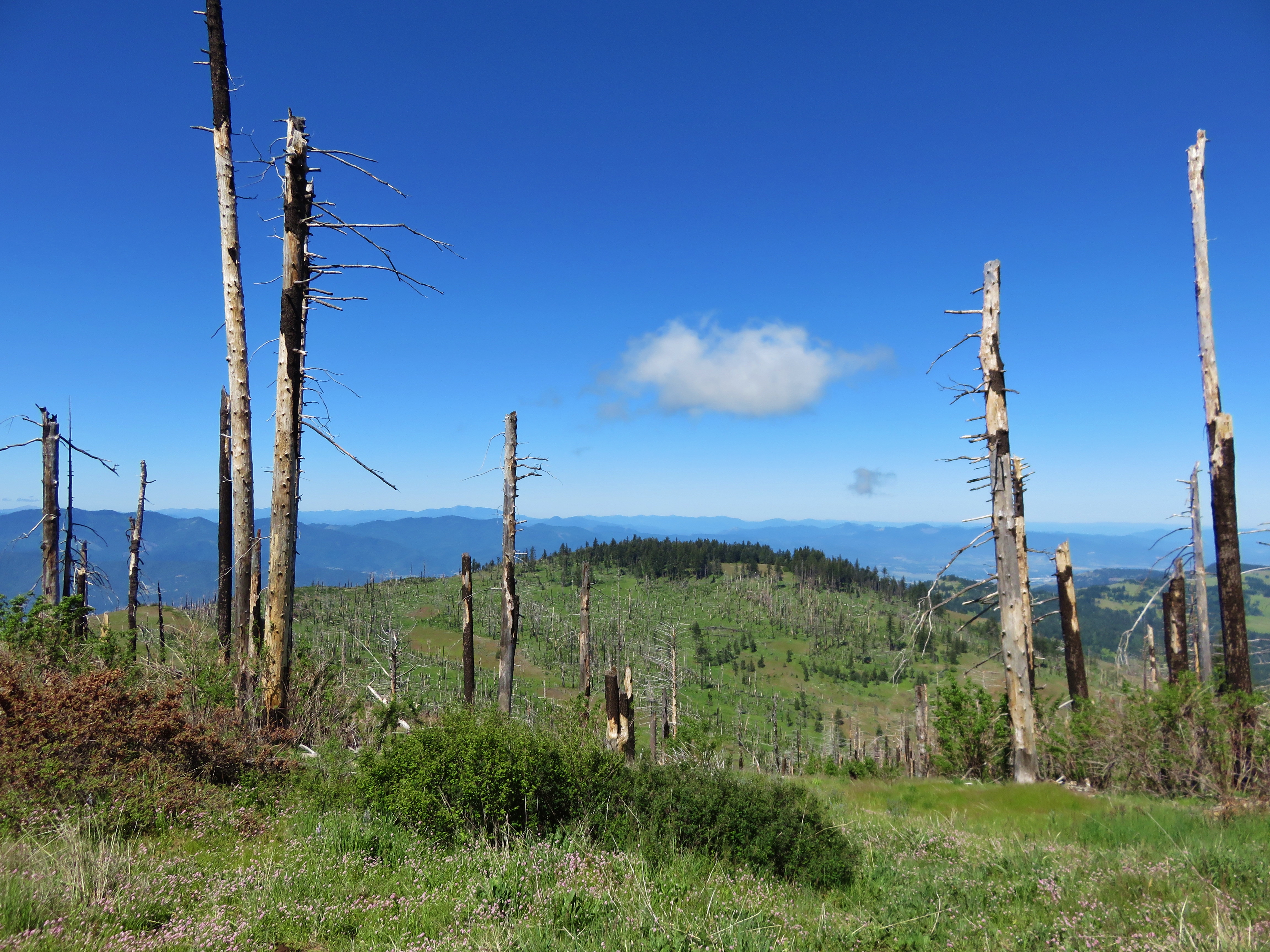
View from the Grizzly Peak Trail
October 2013

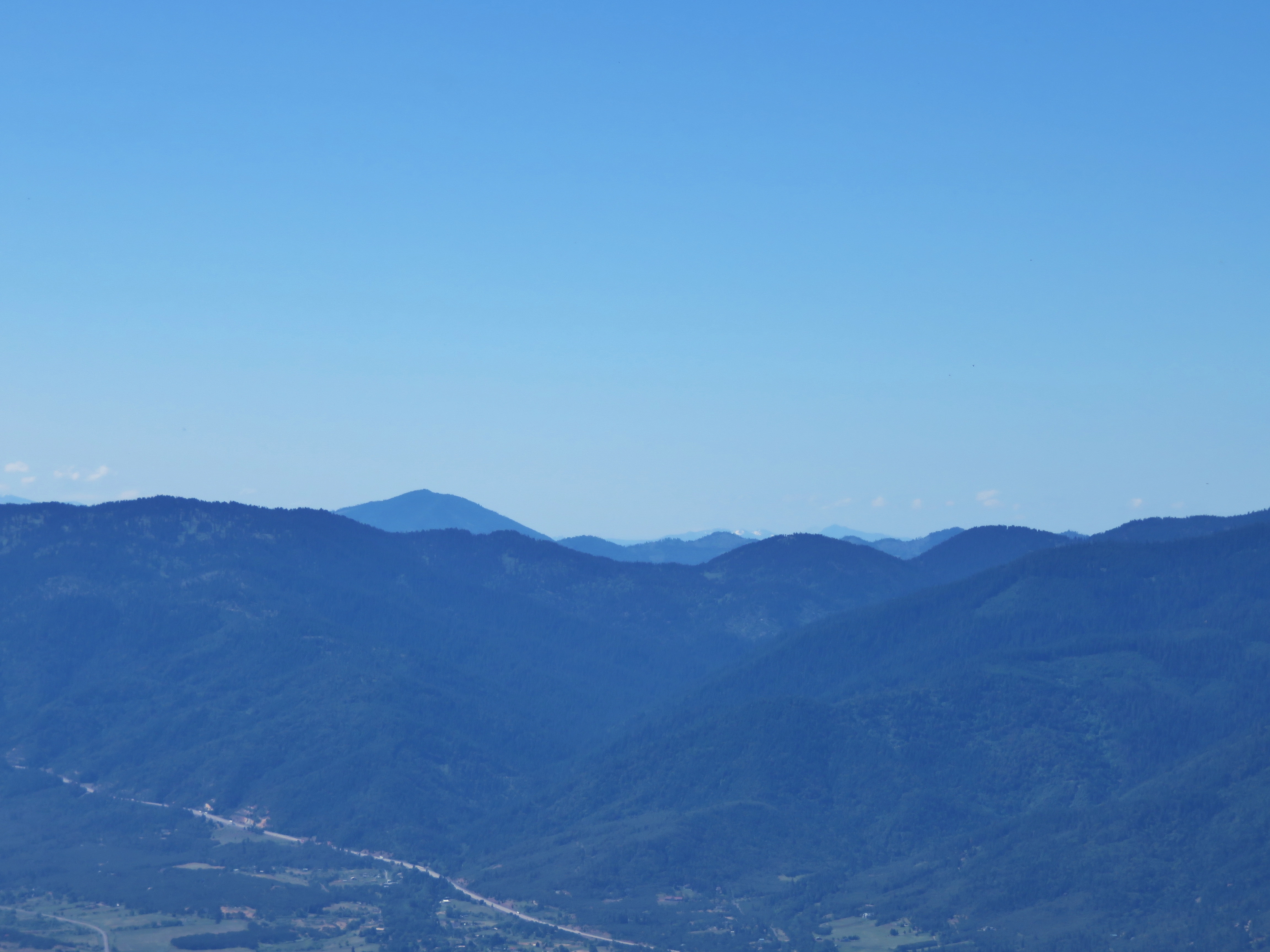
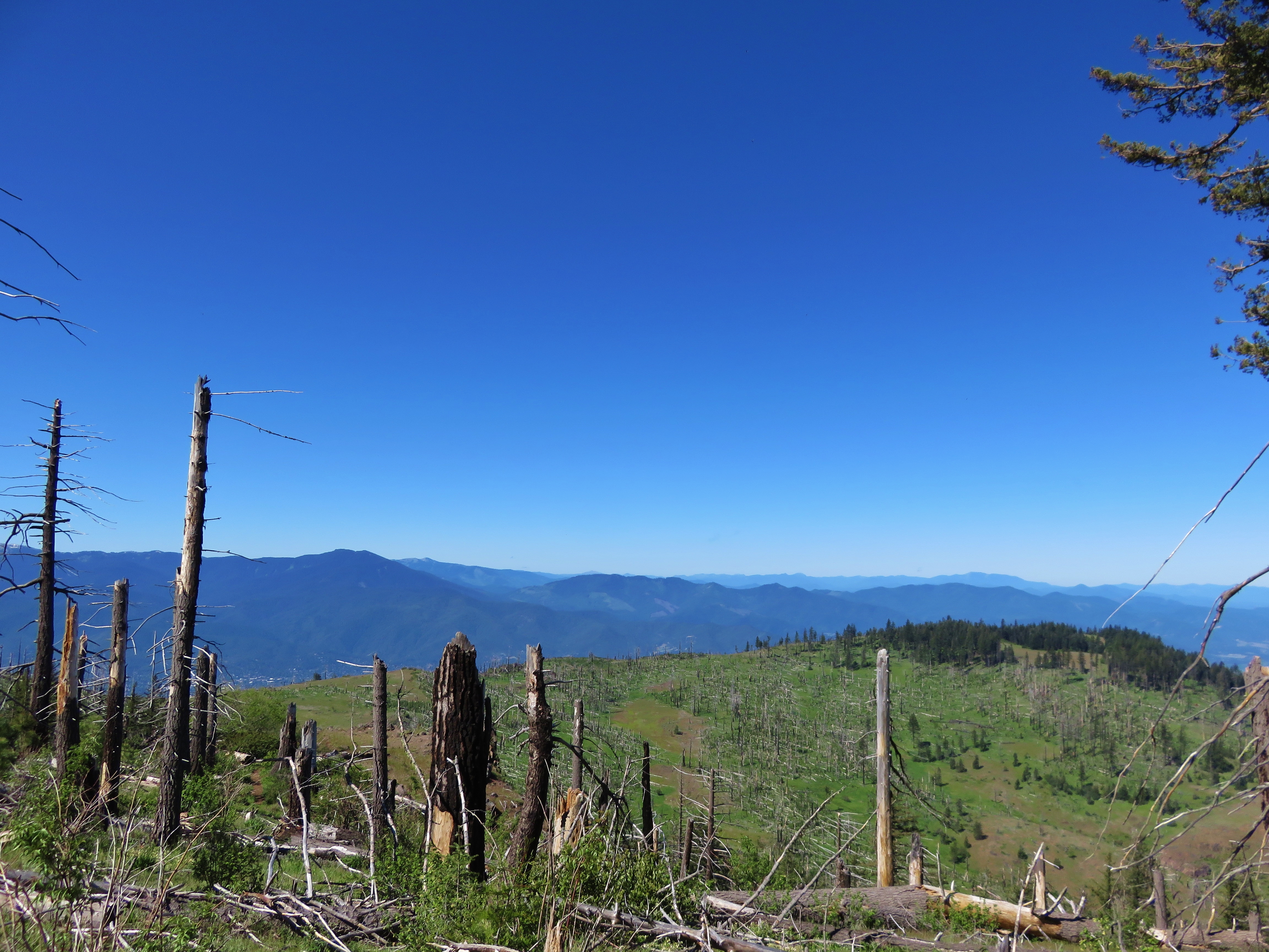
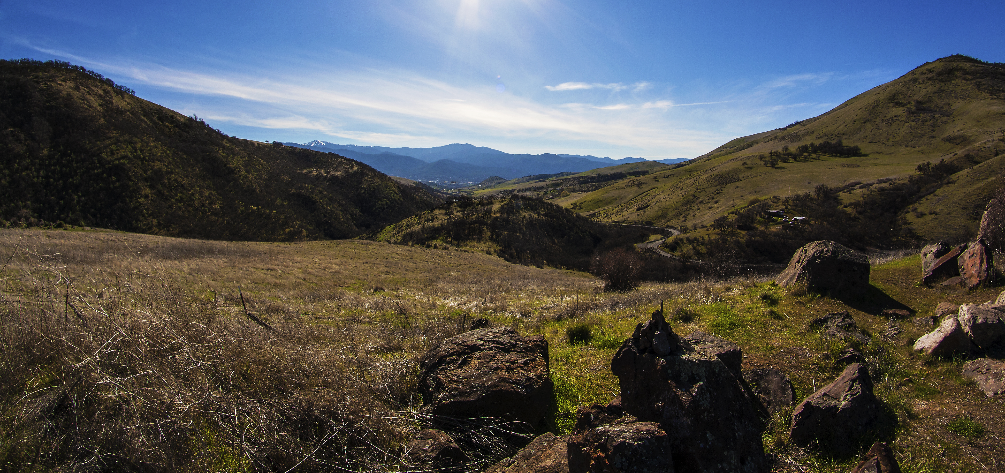
Southern Oregon from Dead Indian Memorial Road (facing Ashland)

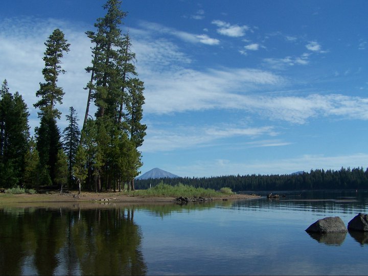
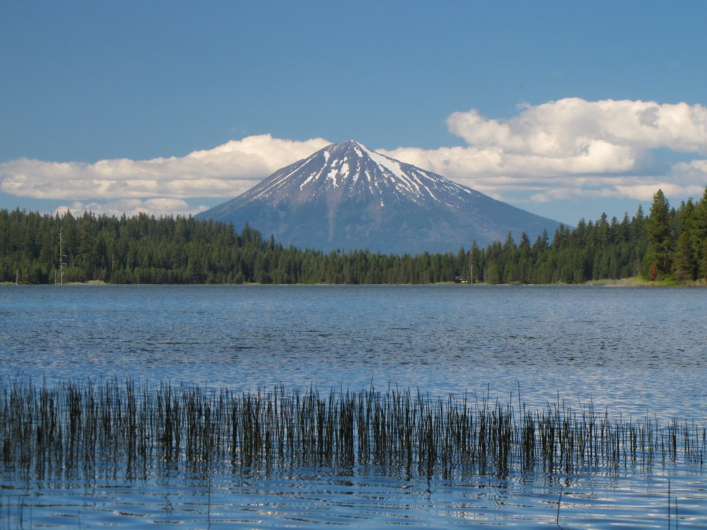
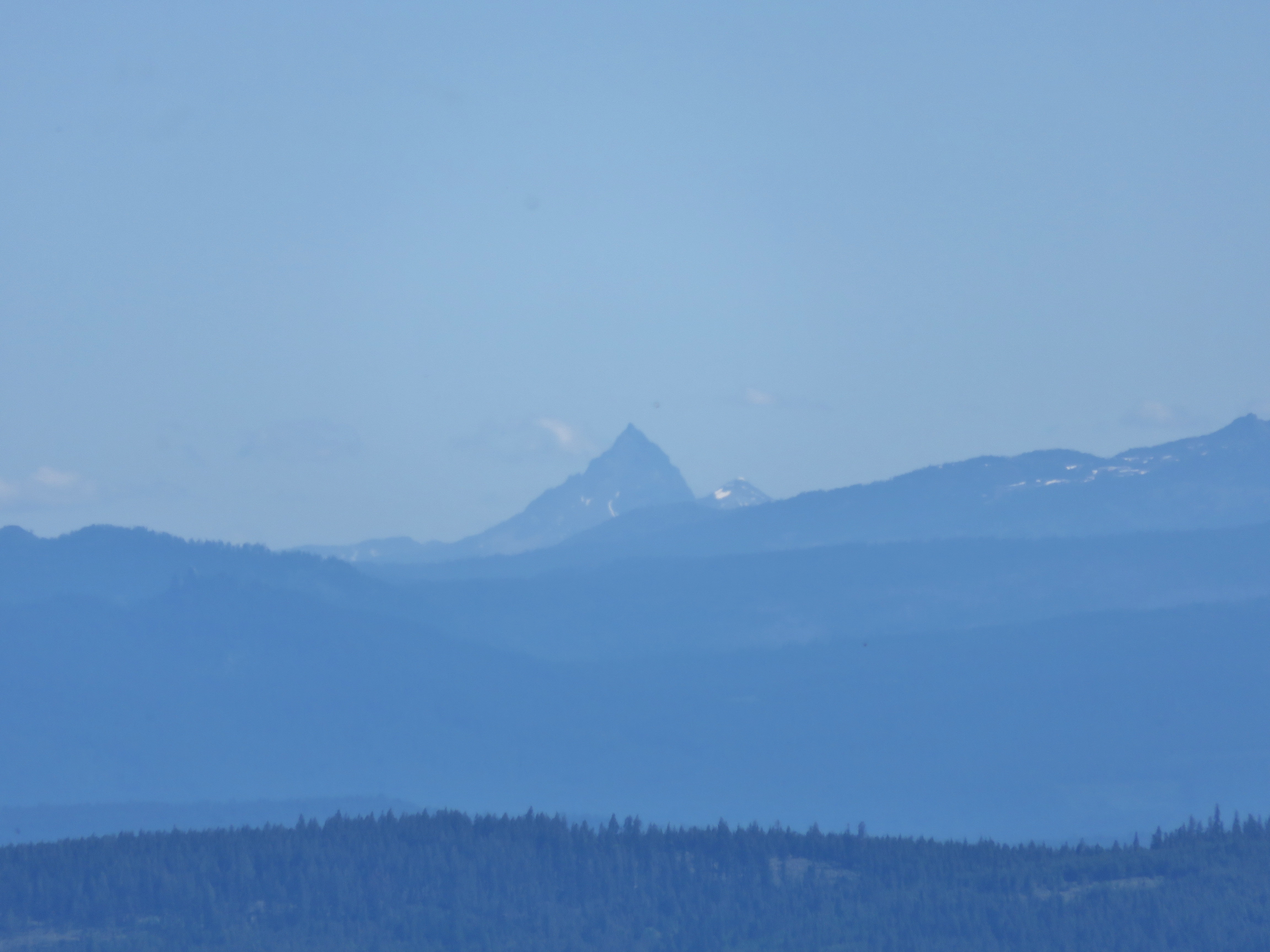
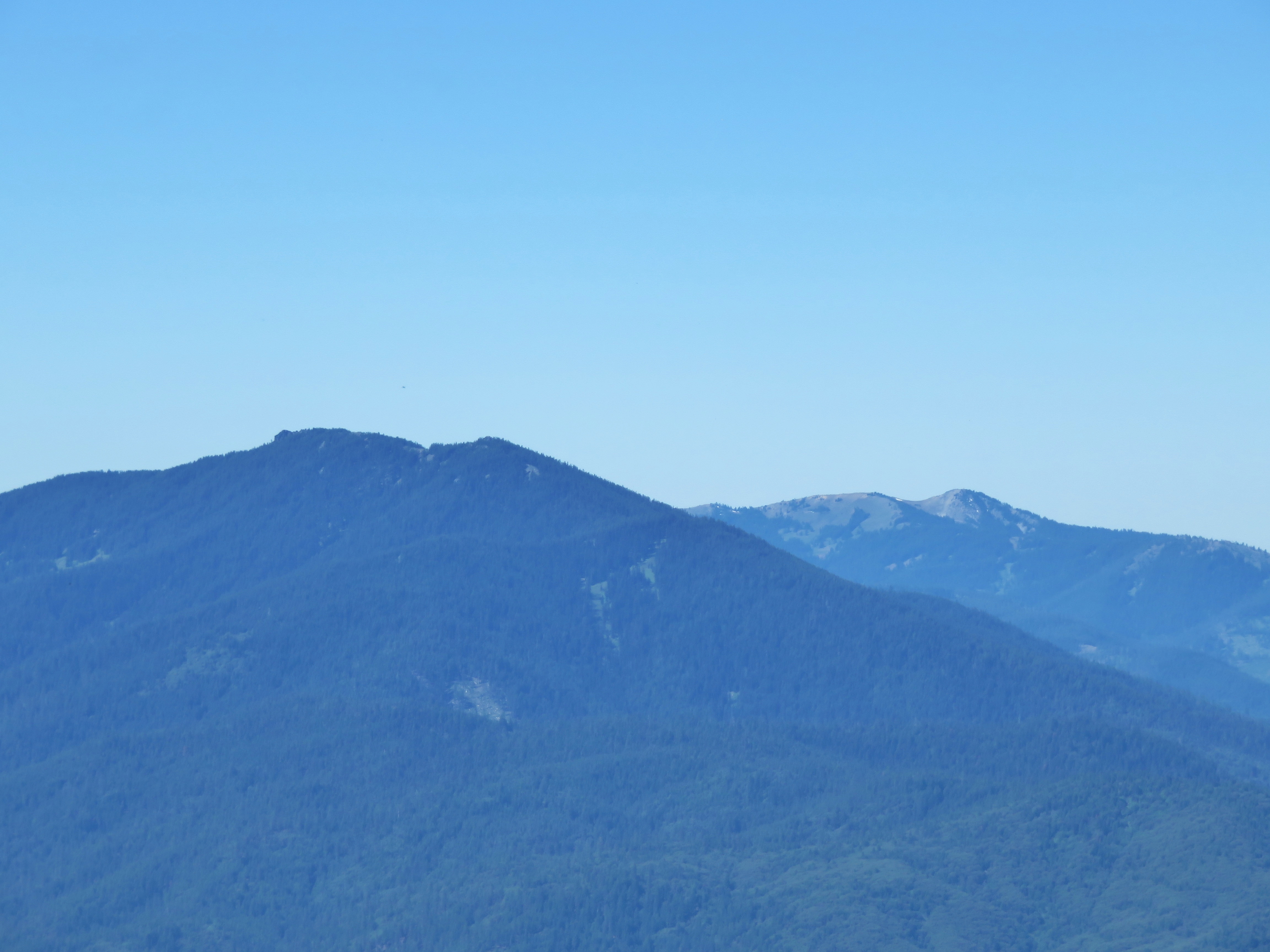
Mt. McLoughlin
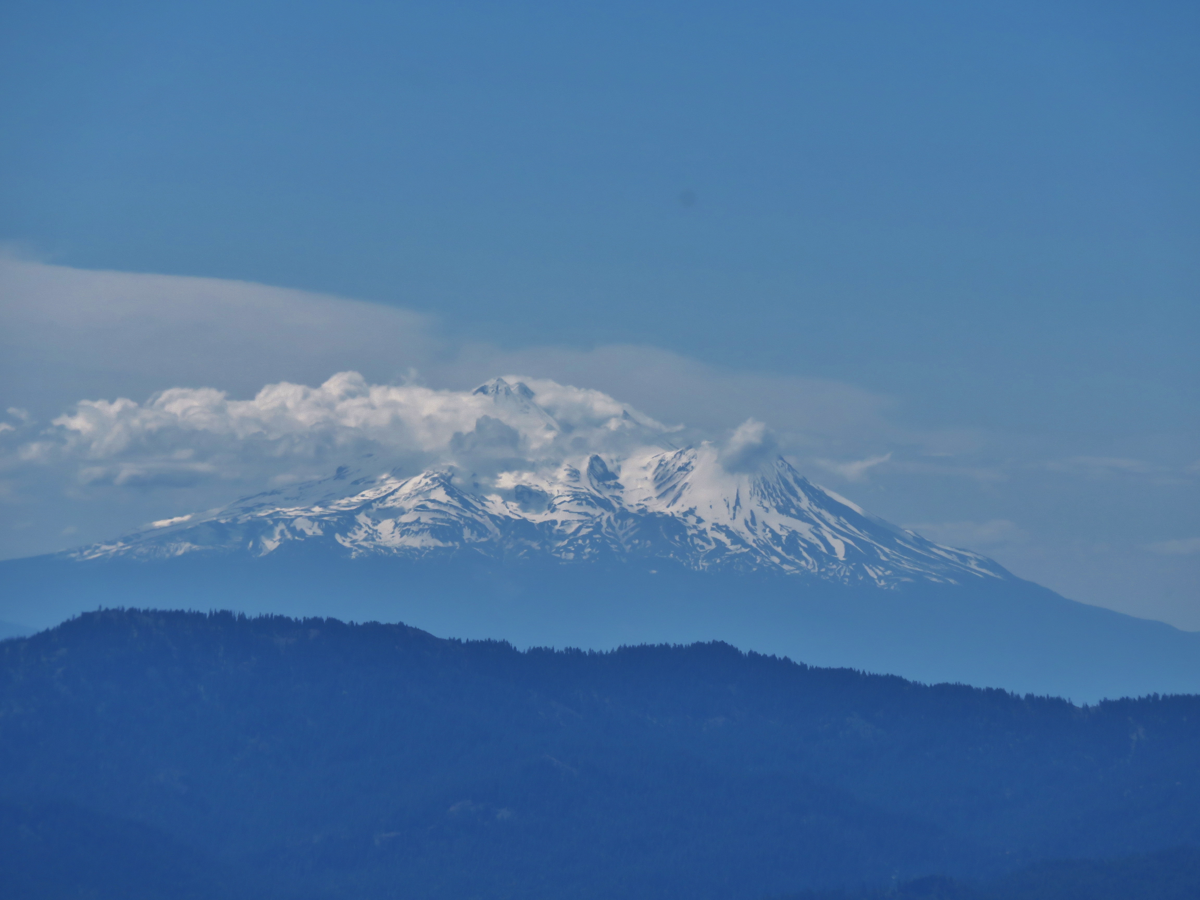
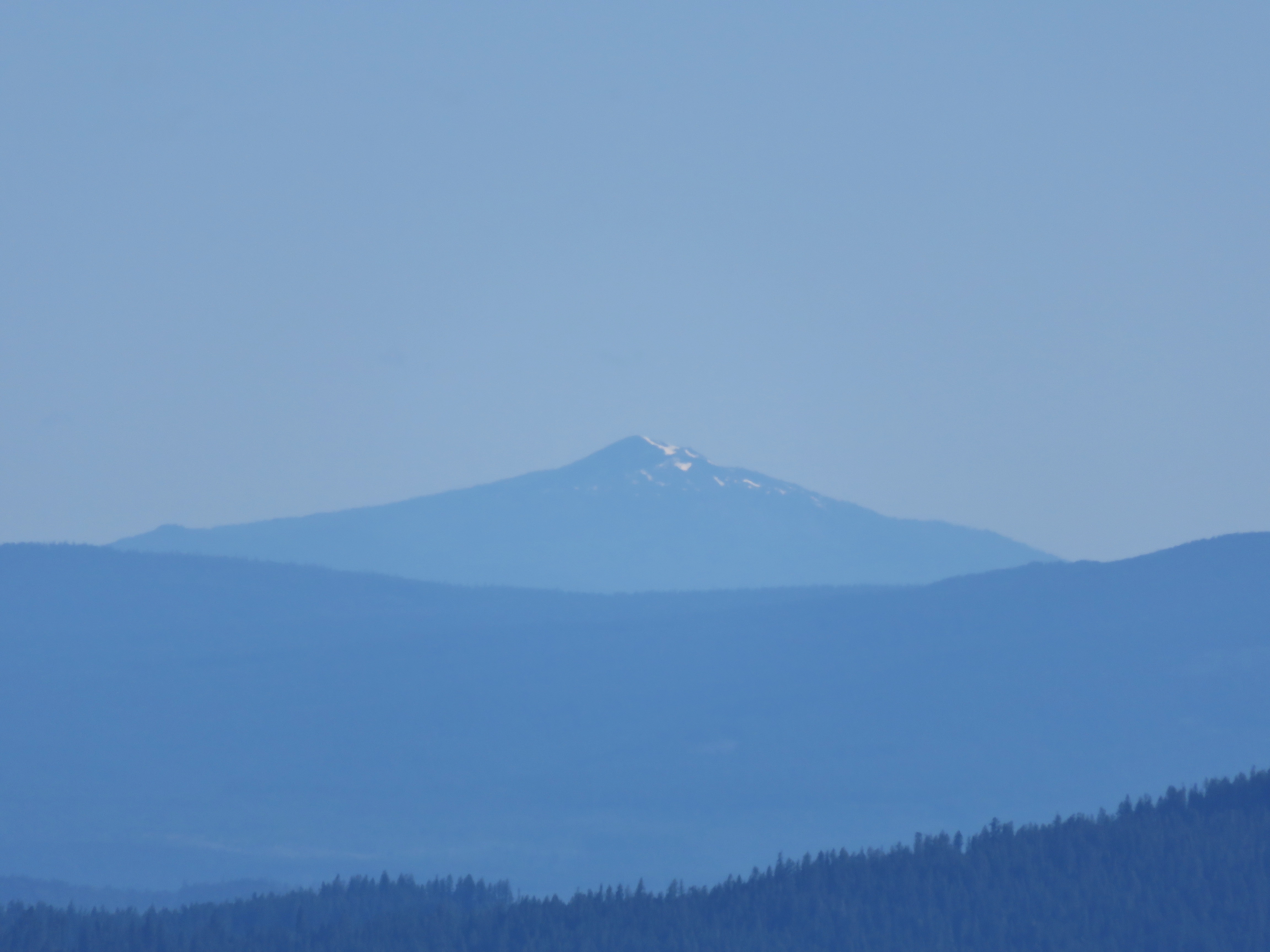
Mt. Shasta
Lake Water
adhering strictly to the guidelines for uninteresting composition
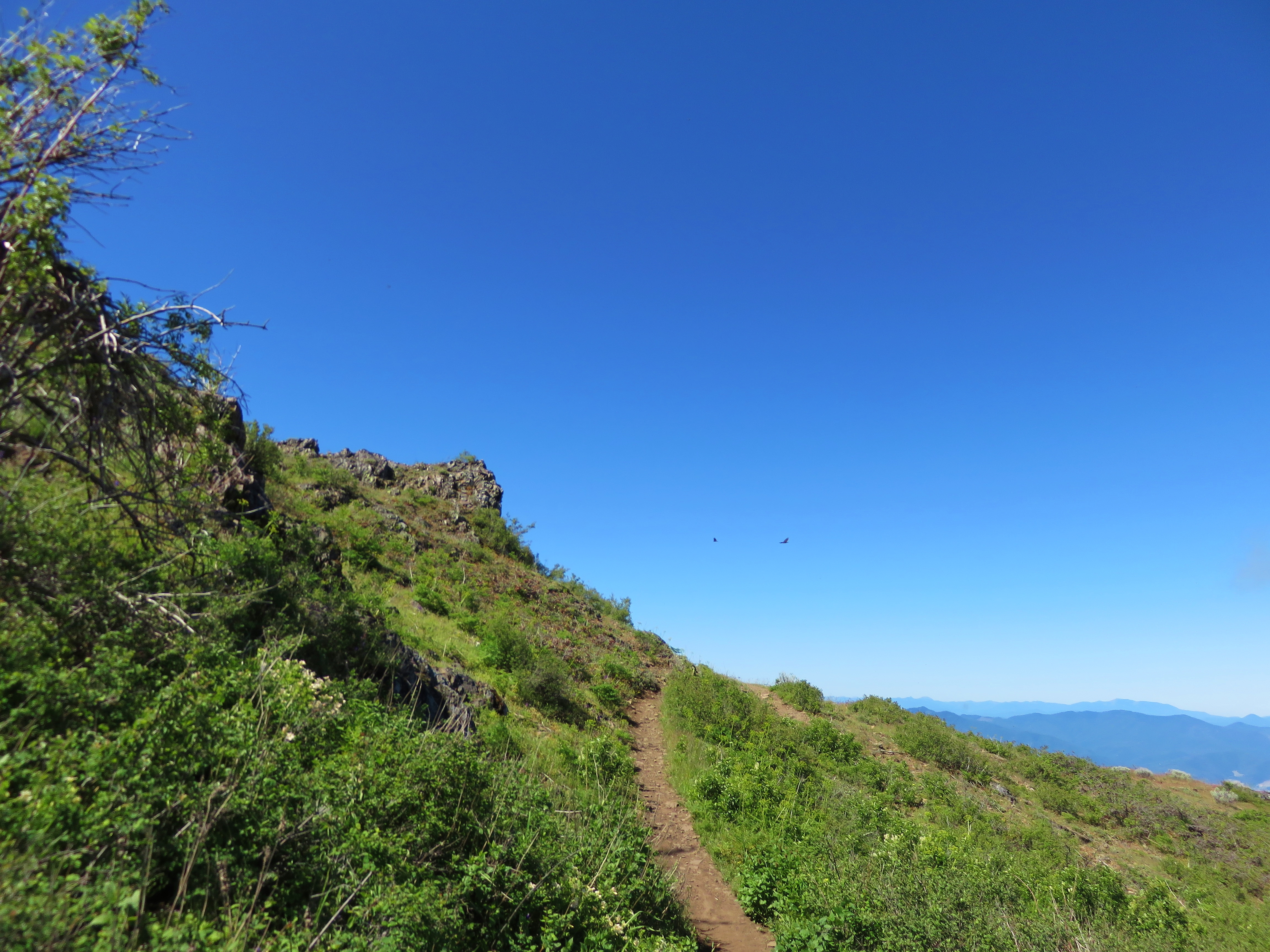
Grizzly Peak Trail
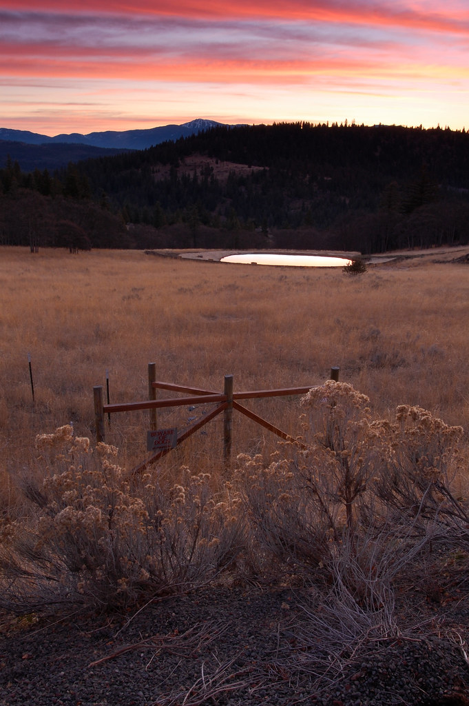
Cascade Sunset

Wagner Butte from the Grizzly Peak Trail
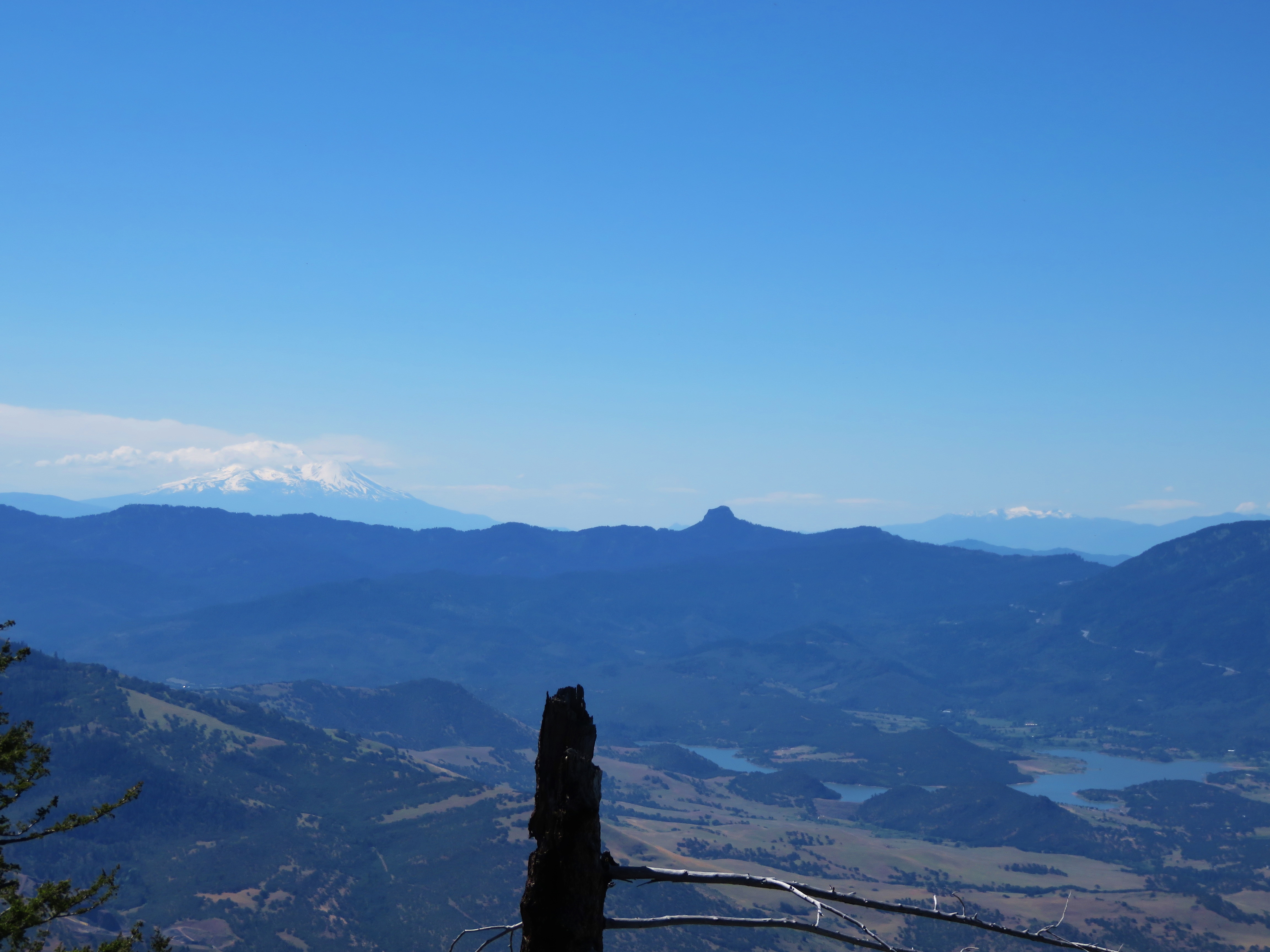
Mt. Shasta and Mt. Eddy
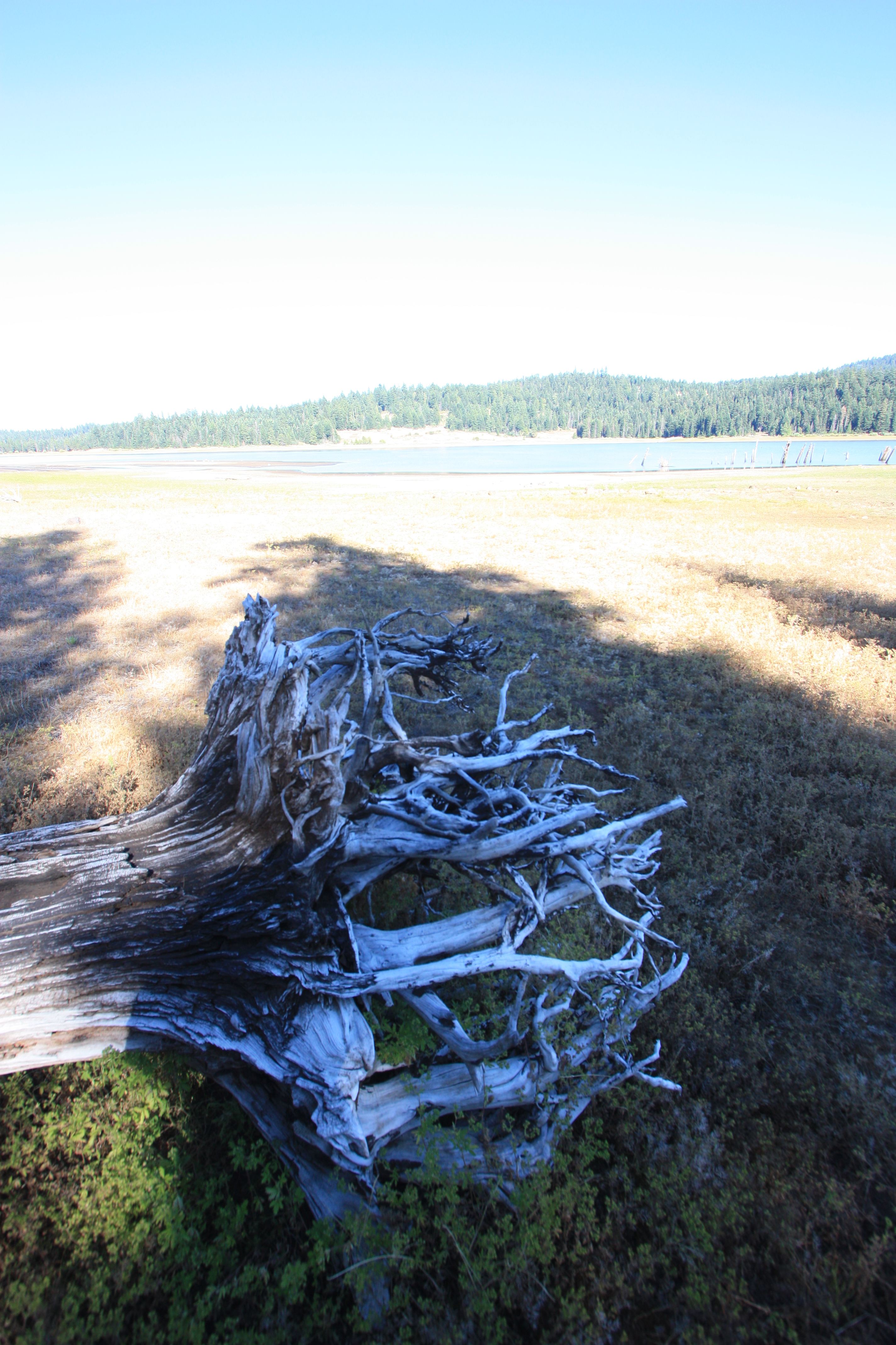
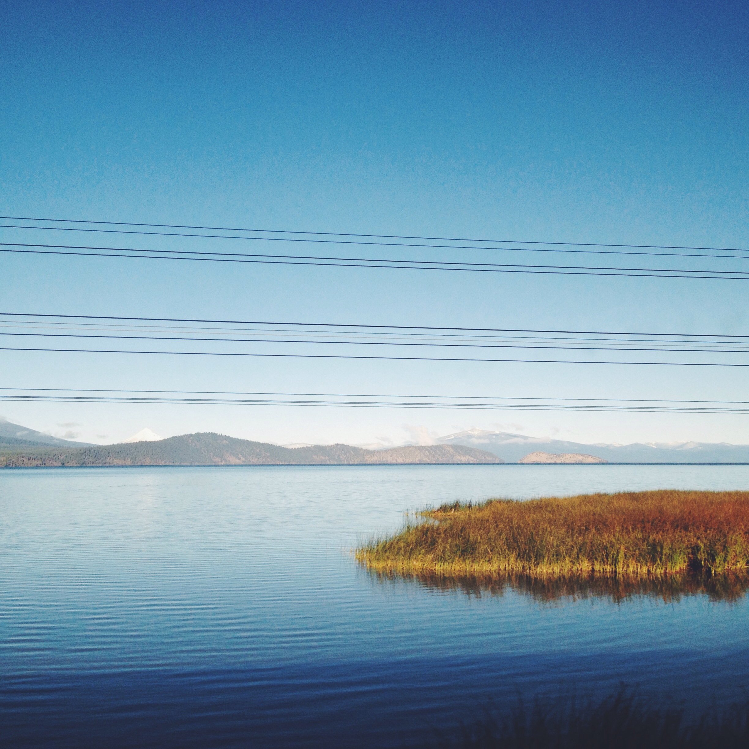
Howard Prairie Lake
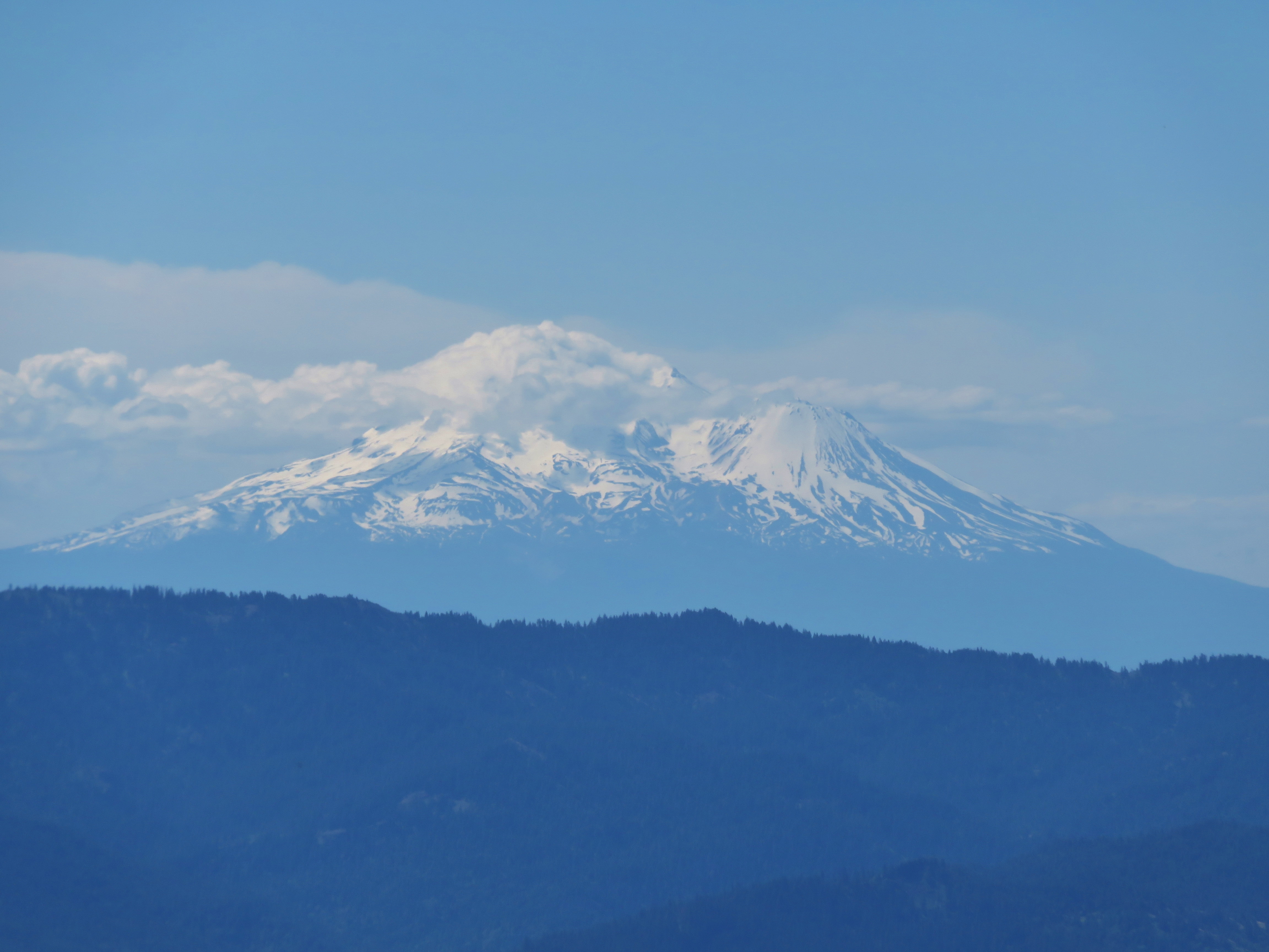
Mt. Shasta
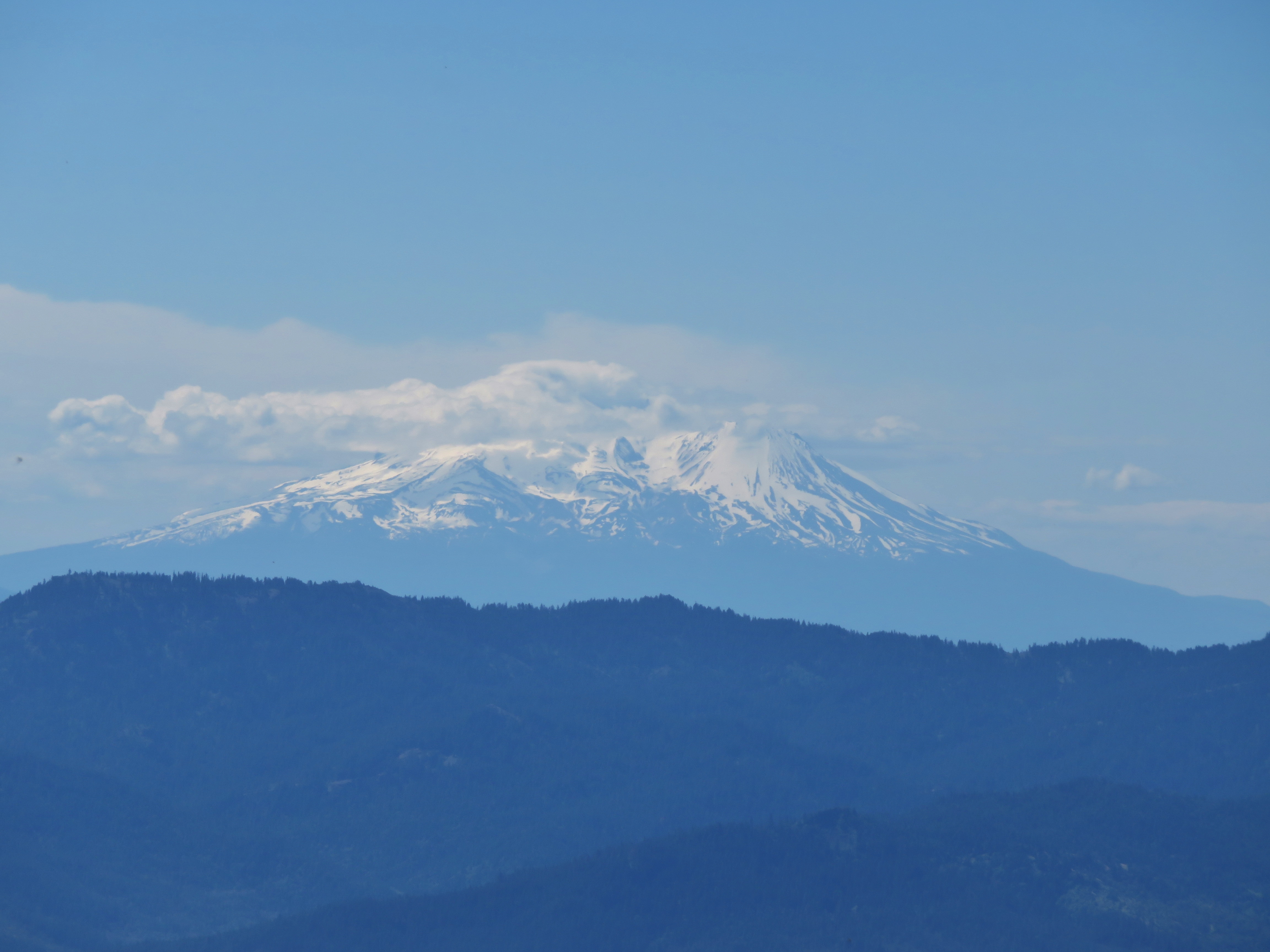
Mt. Shasta
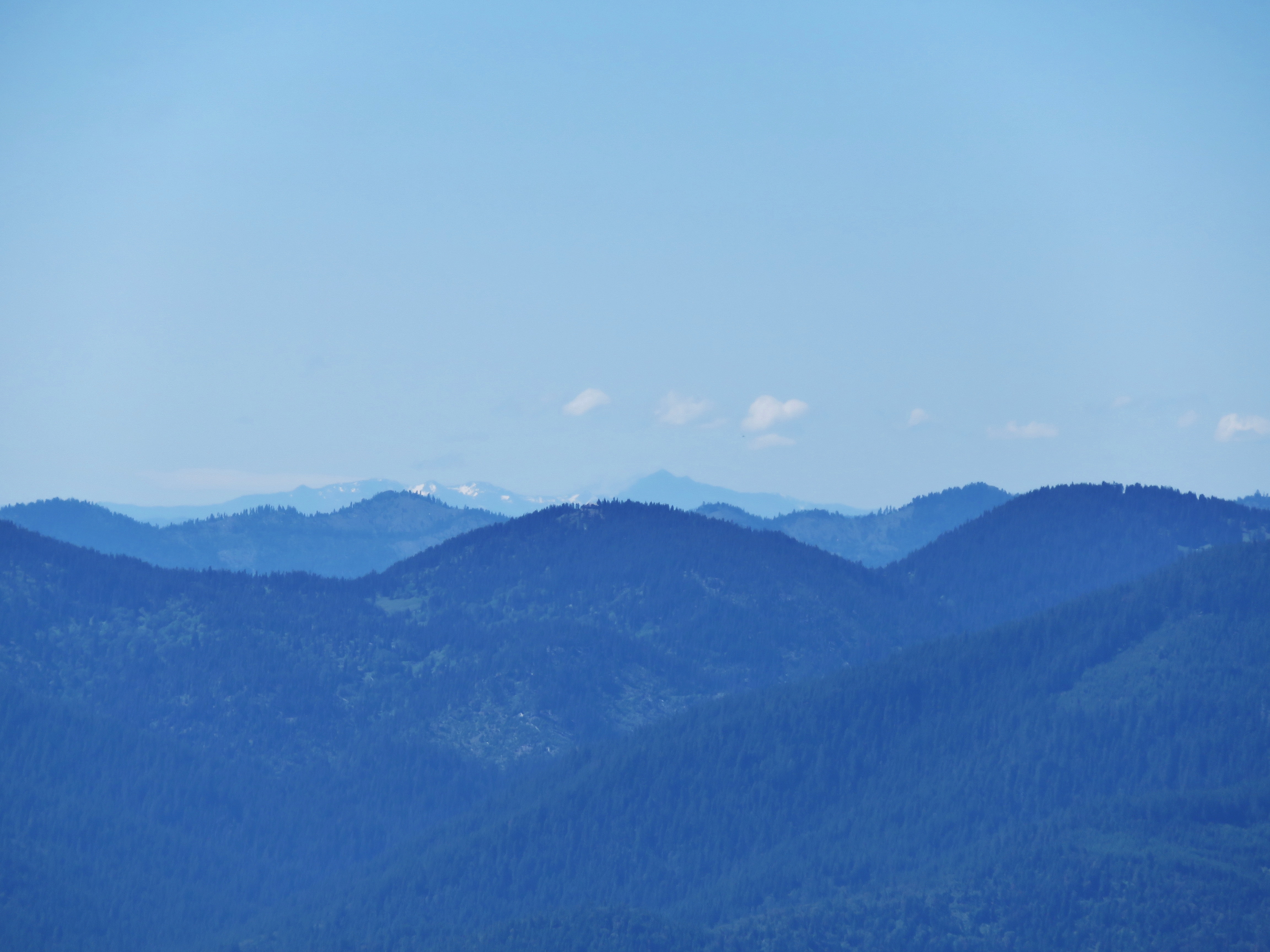
Unidentified peak in Northern California
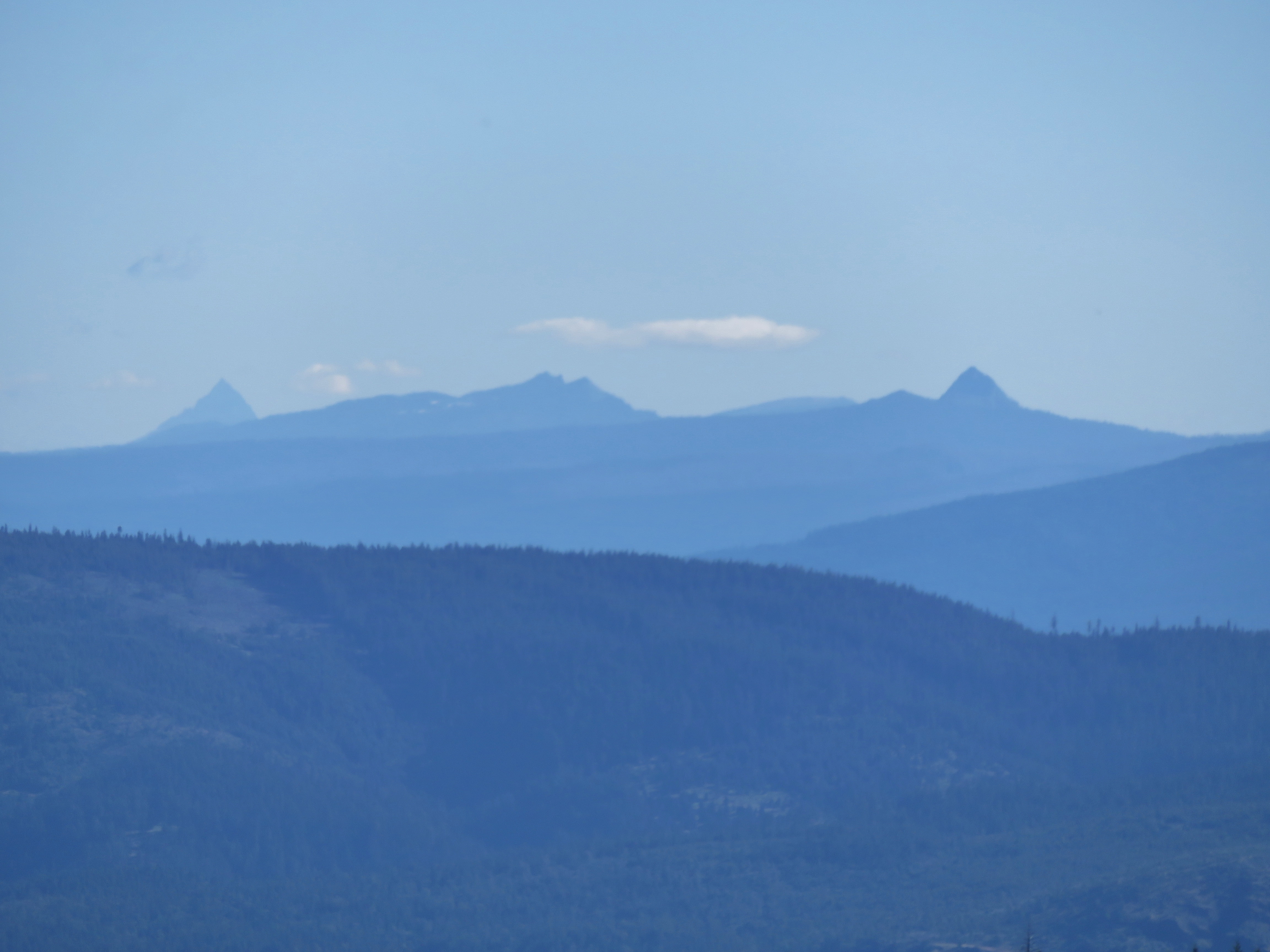
Mt. Thielsen, Crater Lake peaks and Union Peak
Mt. Thielsen
Mt. Bailey
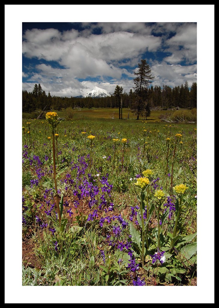
Mt McLoughlin

Wagner Butte
Dead Indian Memorial Road
Wagner Butte and McDonald Peak
Topographic Map of Dead Indian Memorial Road, Dead Indian Memorial Rd, Ashland, OR, USA
Find elevation by address:

Places near Dead Indian Memorial Road, Dead Indian Memorial Rd, Ashland, OR, USA:
20020 Dead Indian Memorial Rd
1940 Hyatt Prairie Rd
2044 Hyatt Prairie Rd
Howard Prairie Lake
15787 Dead Indian Memorial Rd
3365 Hyatt Prairie Rd
3365 Hyatt Prairie Rd
Howard Prairie Rd, Ashland, OR, USA
Buck Prairie Road
Buck Prairie
6706 E Hyatt Lake Rd
4901 E Hyatt Lake Rd
Ashland, OR, USA
7672 Hyatt Prairie Rd
7682 Hyatt Prairie Rd
10440 S Fork Little Butte Creek Rd
9530 S Fork Little Butte Creek Rd
8698 Dead Indian Memorial Rd
8055 Dead Indian Memorial Rd
8009 Dead Indian Memorial Rd
Recent Searches:
- Elevation of Lagasgasan, X+CQH, Tiaong, Quezon, Philippines
- Elevation of Rojo Ct, Atascadero, CA, USA
- Elevation of Flagstaff Drive, Flagstaff Dr, North Carolina, USA
- Elevation of Avery Ln, Lakeland, FL, USA
- Elevation of Woolwine, VA, USA
- Elevation of Lumagwas Diversified Farmers Multi-Purpose Cooperative, Lumagwas, Adtuyon, RV32+MH7, Pangantucan, Bukidnon, Philippines
- Elevation of Homestead Ridge, New Braunfels, TX, USA
- Elevation of Orchard Road, Orchard Rd, Marlborough, NY, USA
- Elevation of 12 Hutchinson Woods Dr, Fletcher, NC, USA
- Elevation of Holloway Ave, San Francisco, CA, USA