Elevation of Hungry Hill Rd, Long Eddy, NY, USA
Location: United States > New York > Sullivan County > Fremont > Long Eddy >
Longitude: -75.134145
Latitude: 41.9125843
Elevation: 546m / 1791feet
Barometric Pressure: 95KPa
Elevation Map:
Satellite Map:
Related Photos:
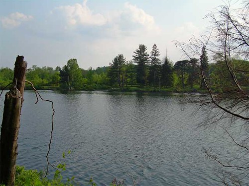
Lake view
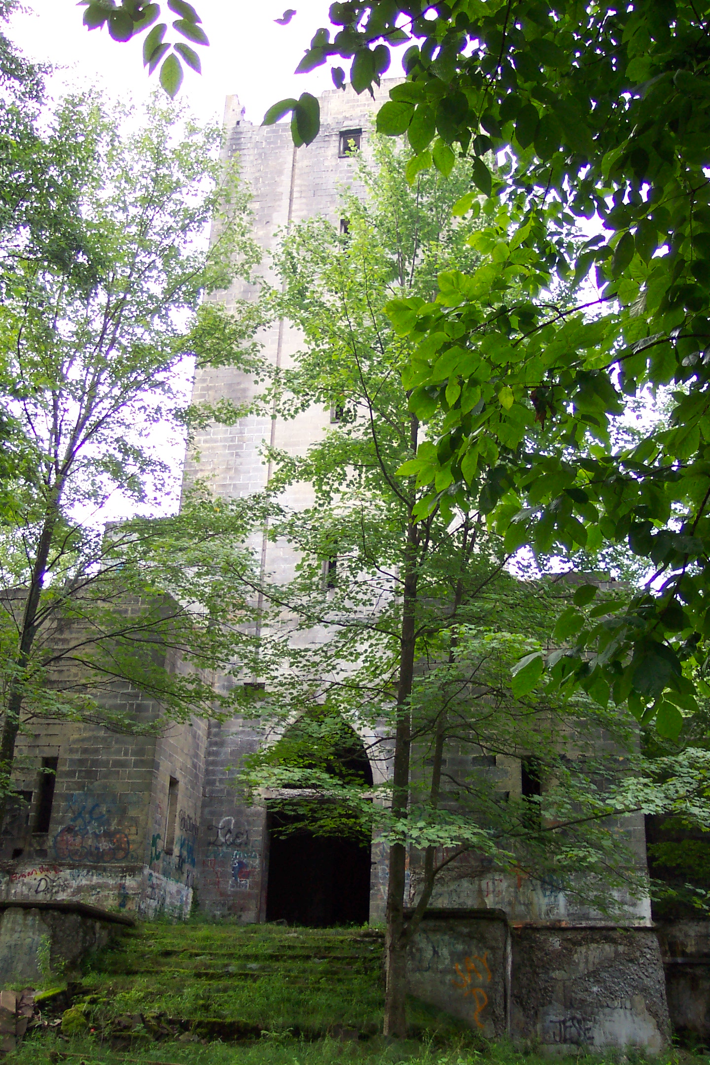
Hancock NY mausoleum
Beaver Kill Views

Invisible Bed in the Bushes

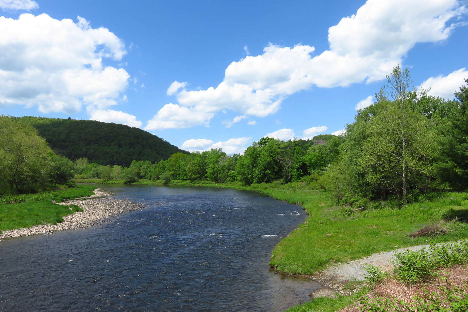
Beaver Kill Views
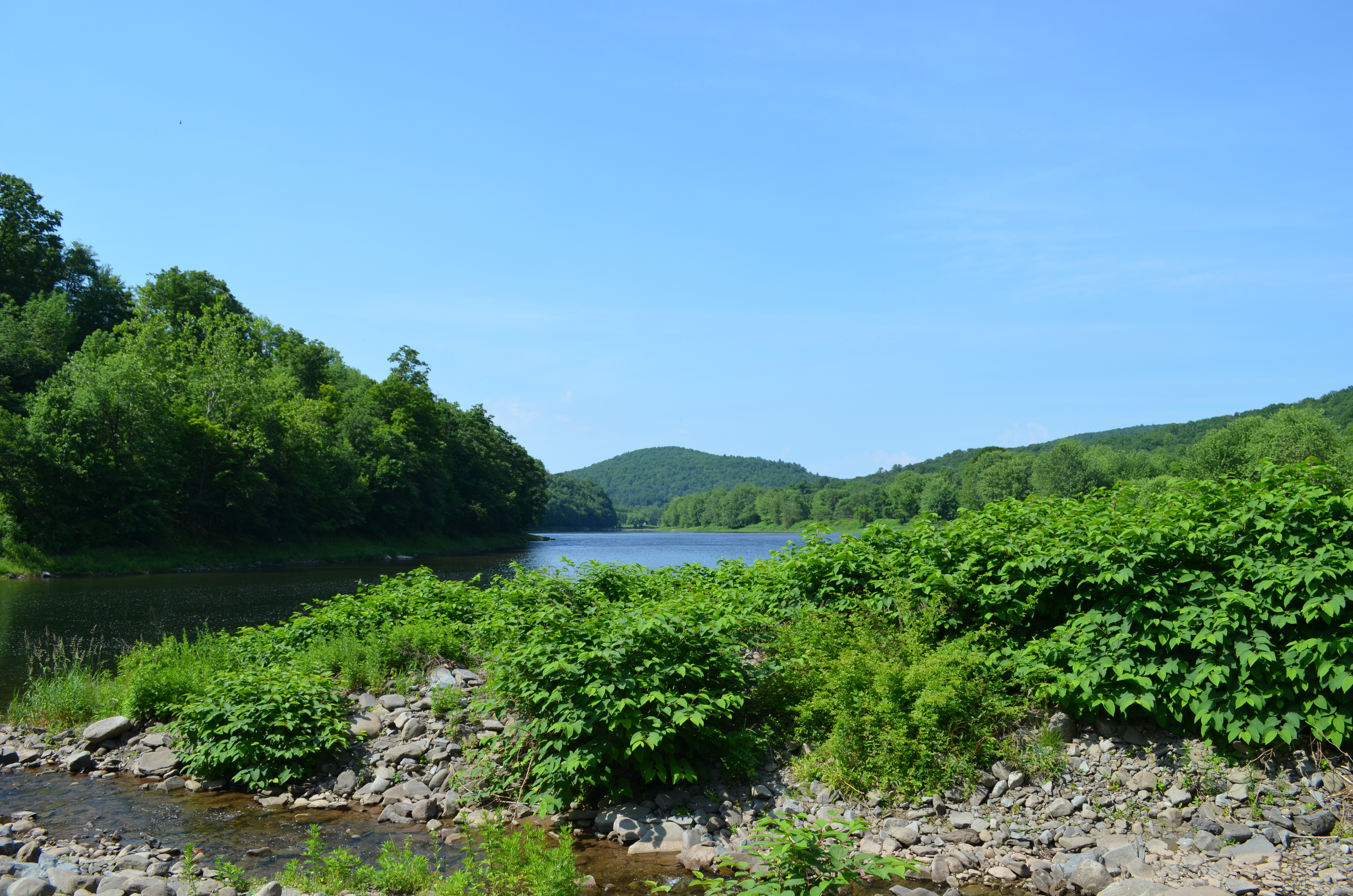
Delaware River View
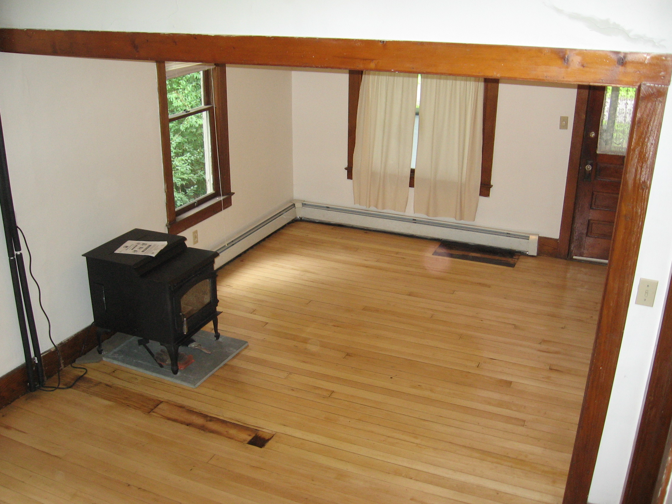
View of living room from stairs
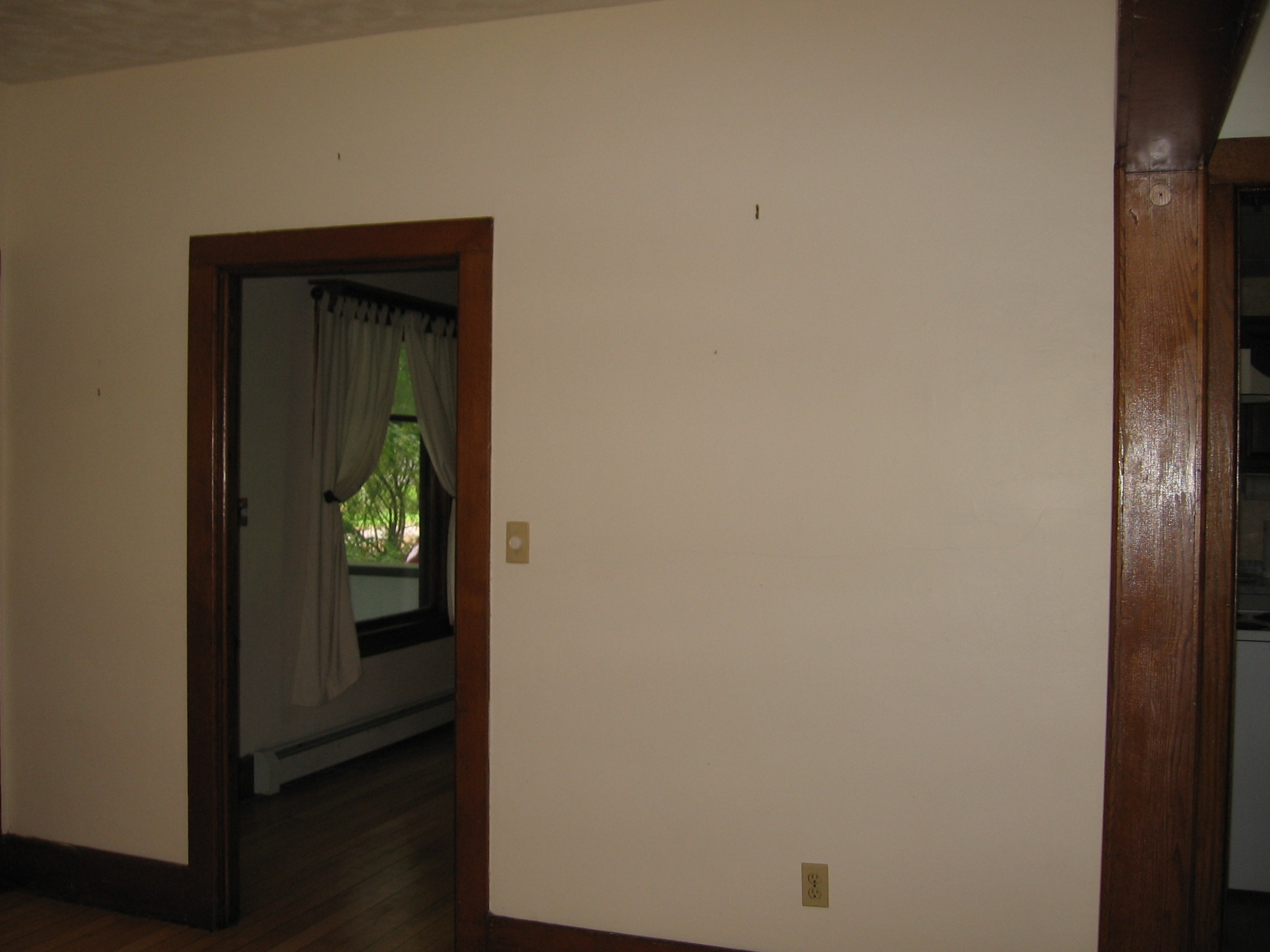
View from living room into dining room

my favorite thing about working with children is getting to see how exactly they interpret and view the world through their writing and art.
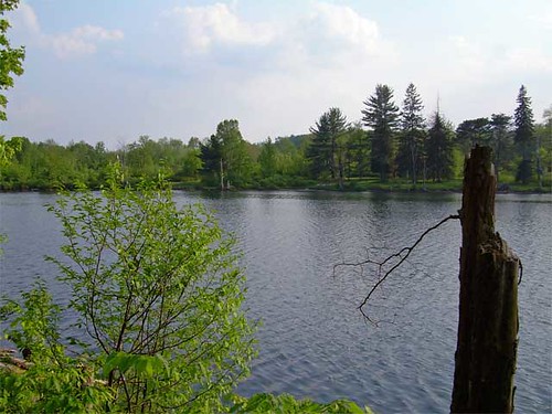
Lake view
Delaware Water Gap,PA
Rocks and Water

River 2

#clouds #bluesky
DSCF6382.jpg
Sunrise over Peaceful Valley
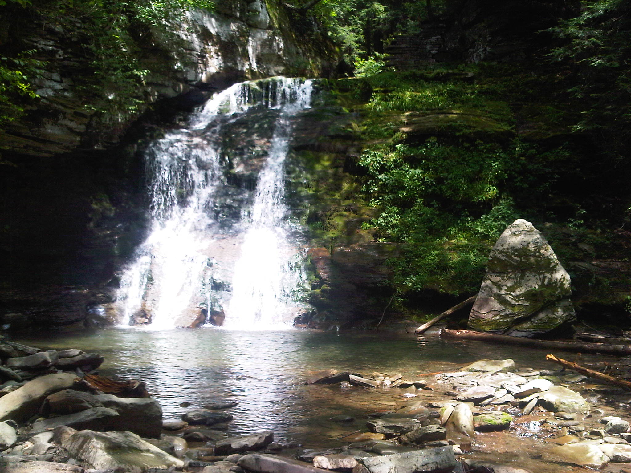
Bouchoux Mountain Waterfall, New York
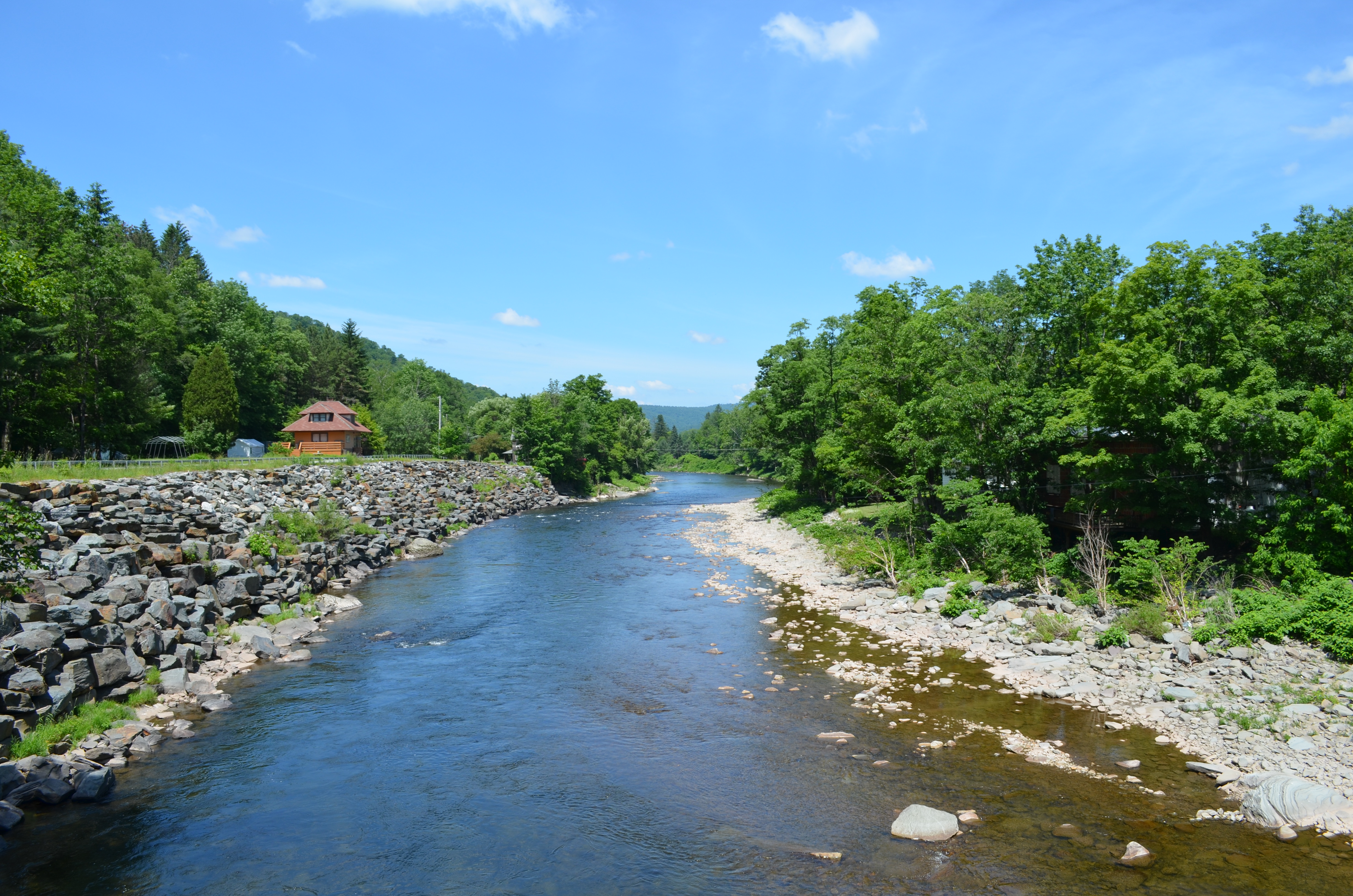
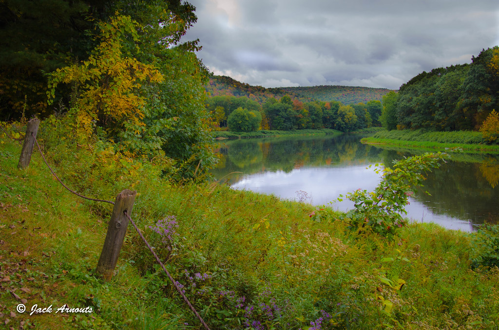
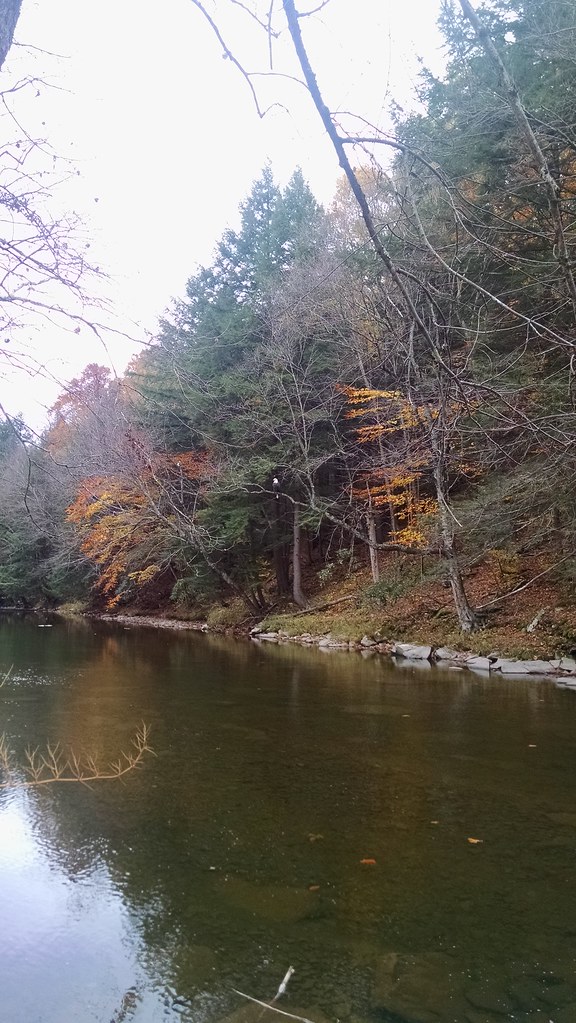
West Branch, Delaware River
IMG-20110723-00555.jpg

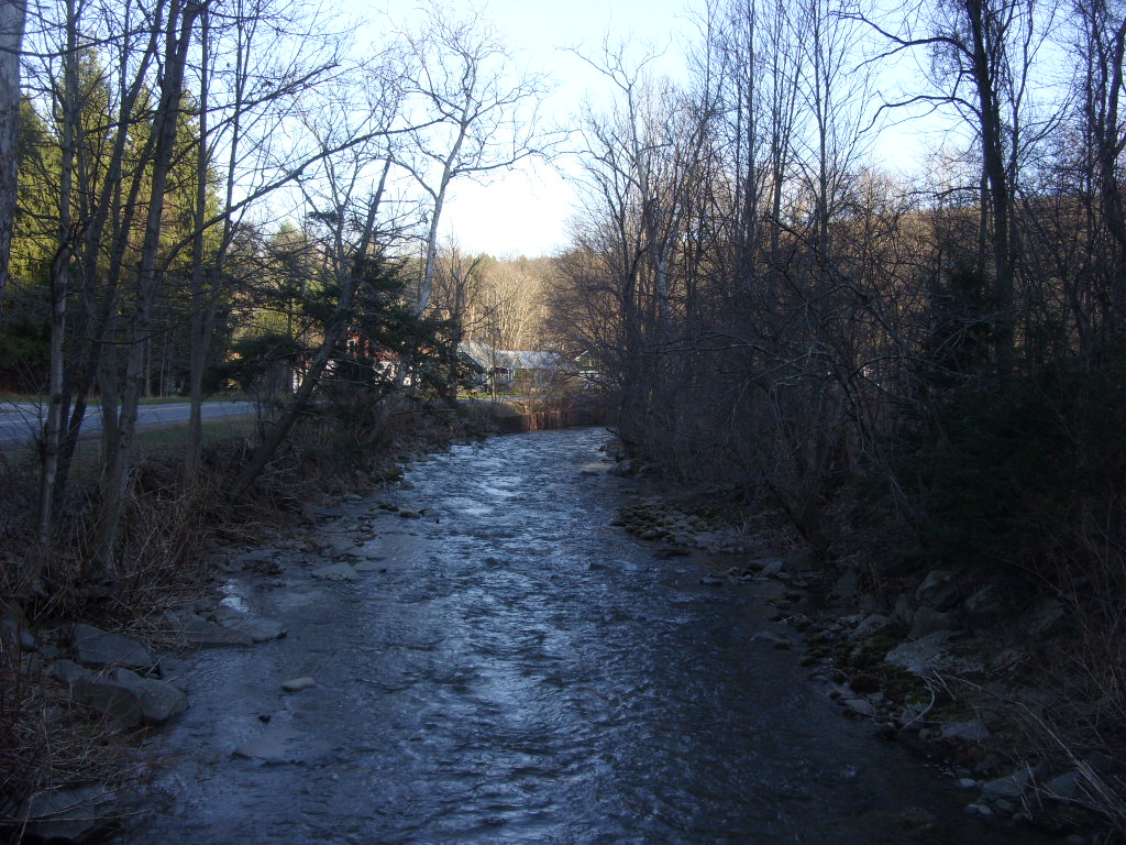
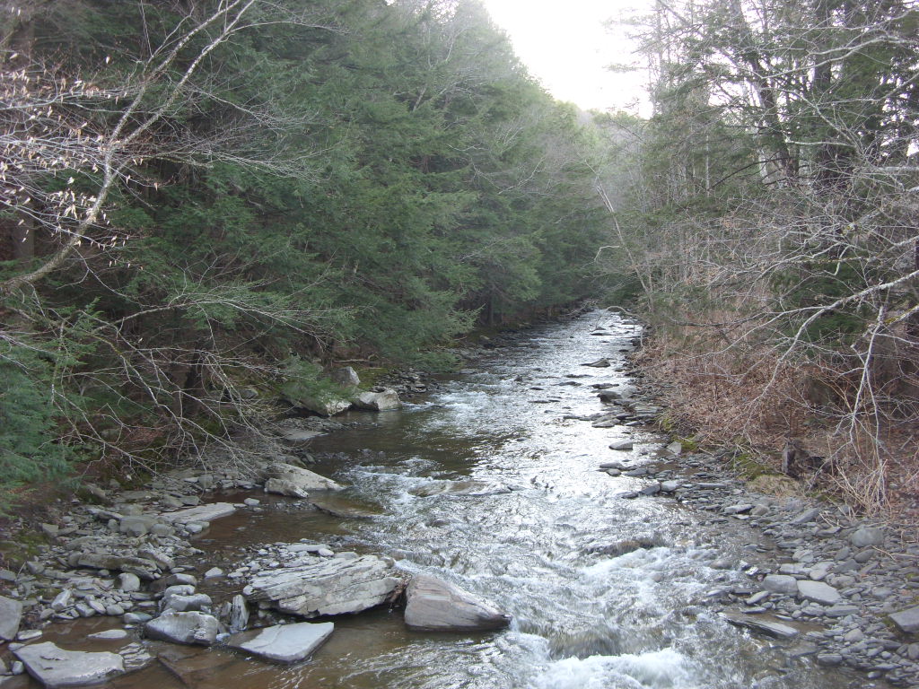
Shehawken Creek
HOBO Maintenance

Morning mist

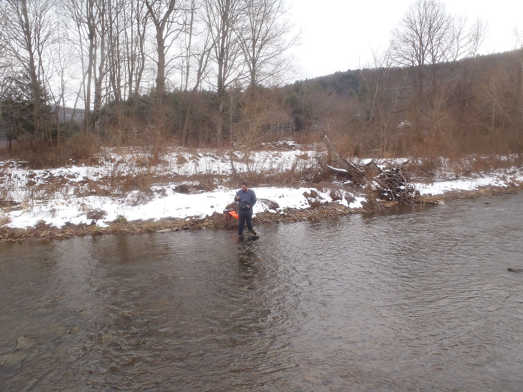
Boys Fishing 2

August 18, 2007
Shehawken Creek

MELISSA-TOMMY_04702-2.jpg

Them Thar Hills
040509 1402

MELISSA-TOMMY_04702.jpg
040509 1403
Topographic Map of Hungry Hill Rd, Long Eddy, NY, USA
Find elevation by address:

Places near Hungry Hill Rd, Long Eddy, NY, USA:
3990 Hungry Hill Rd
157 Neering Rd
757 Silas Tompkins Rd
Long Eddy, NY, USA
425 Hungry Hill Rd
1602 Bouchoux Brook Rd
36 John Milk Rd, Long Eddy, NY, USA
66 Milton Smith Rd
56 Raspberry Park Rd
Long Eddy
Hancock
East Branch
River Road
53 Riverview Rd
Lordville
Equinunk
Equinunk
Equinunk
Equinunk
Equinunk
Recent Searches:
- Elevation of Elwyn Dr, Roanoke Rapids, NC, USA
- Elevation of Congressional Dr, Stevensville, MD, USA
- Elevation of Bellview Rd, McLean, VA, USA
- Elevation of Stage Island Rd, Chatham, MA, USA
- Elevation of Shibuya Scramble Crossing, 21 Udagawacho, Shibuya City, Tokyo -, Japan
- Elevation of Jadagoniai, Kaunas District Municipality, Lithuania
- Elevation of Pagonija rock, Kranto 7-oji g. 8"N, Kaunas, Lithuania
- Elevation of Co Rd 87, Jamestown, CO, USA
- Elevation of Tenjo, Cundinamarca, Colombia
- Elevation of Côte-des-Neiges, Montreal, QC H4A 3J6, Canada