Elevation of Hungry Hill Rd, Long Eddy, NY, USA

Location: United States > New York > Sullivan County > Fremont > Long Eddy >

Longitude: -75.134145

Latitude: 41.9125843

Elevation: 546m / 1791feet

Barometric Pressure: 95KPa

Elevation Map:

elevation map of Hungry Hill Rd, Long Eddy, NY, USA

Satellite Map:

Satellite map of Hungry Hill Rd, Long Eddy, NY, USA

Related Photos:

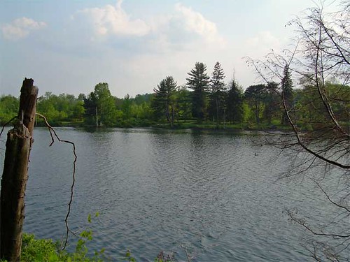
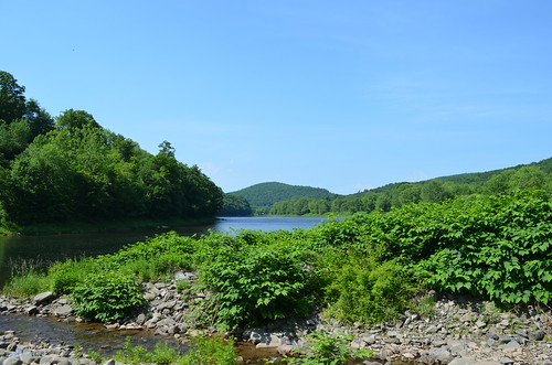
lake ny water geotagged sullivan roscoe crystallake geolat4187142 geolon7502388
Lake view
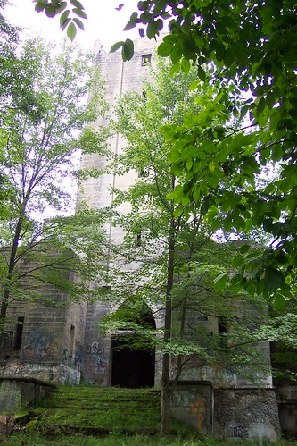
abandoned mausoleum delewarevalley
Hancock NY mausoleum
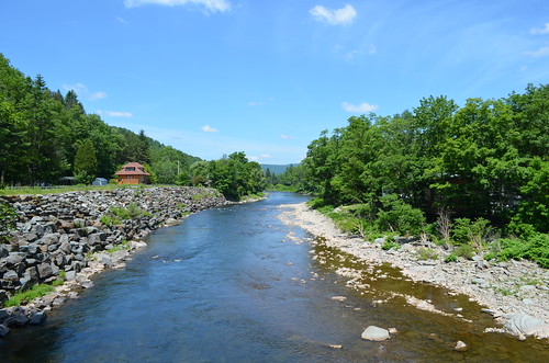
river beaverkill delawarecountyny cooksfallsny
Beaver Kill Views
trees usa mist ny newyork reflection green lamp grass fog forest river hotel bush view hill colonial motel august valley delaware hancock bushes 2009 slope smiths 97 delawareriver catskill catskillmountains delawarecounty atthehotel route97 year2009 smithscolonialmotel stateroute97 statehighway97 townofhancock
Invisible Bed in the Bushes
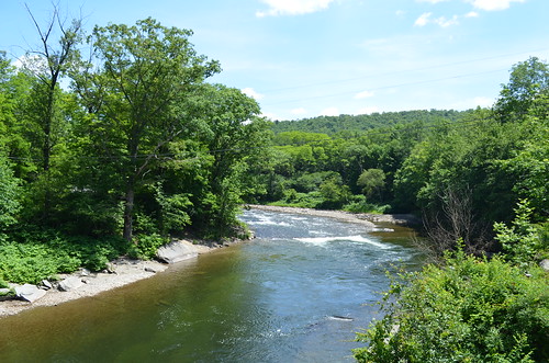
river beaverkill delawarecountyny cooksfallsny
Beaver Kill Views
river delawareriver delawarecountyny lordsvilleny
Delaware River View
instagramapp square squareformat iphoneography uploaded:by=instagram clarendon
my favorite thing about working with children is getting to see how exactly they interpret and view the world through their writing and art.
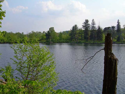
lake ny water geotagged sullivan roscoe crystallake geolat4187142 geolon7502388
Lake view
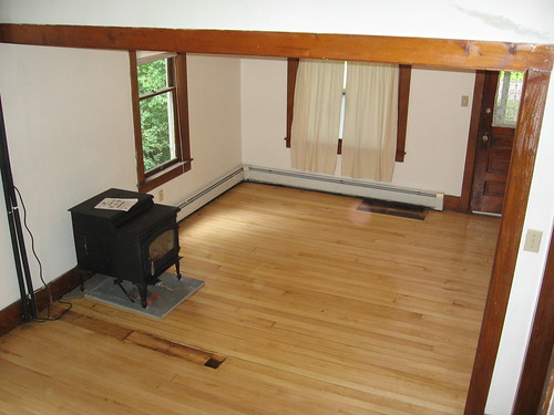
house catskills
View of living room from stairs
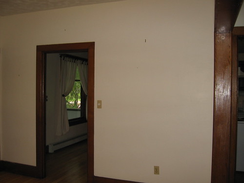
house catskills
View from living room into dining room
_MG_0123_HDR.jpg
color delawarewatergap fall historic landscape pa pennsylvania scenic seasonal trees water equinunk unitedstates
Delaware Water Gap,PA
River 2
square squareformat iphoneography instagramapp uploaded:by=instagram
#clouds #bluesky
DSCF6382.jpg
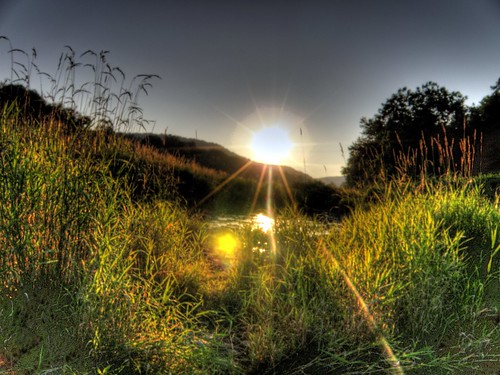
Puddle Sunset
ny waterfalls
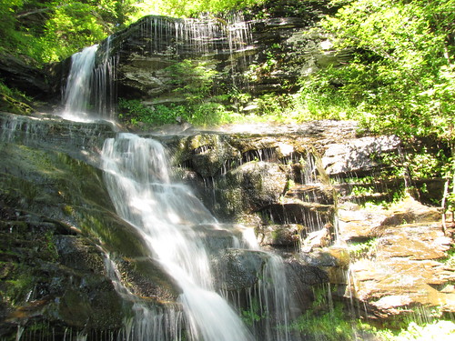
Bouchoux Mountain Waterfall, New York
bridge rustyandcrusty delawarecountyny hancockny
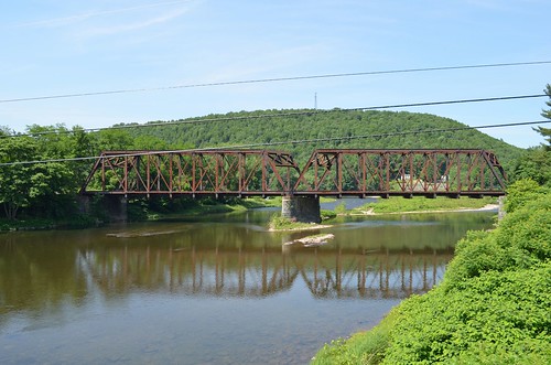
Rusty Railroad Bridge
pennsylvania newyorkstate hancock delawareriver hancocknewyork
West Branch, Delaware River
hiddenvalley raquettelake katetomlinson
August 18, 2007
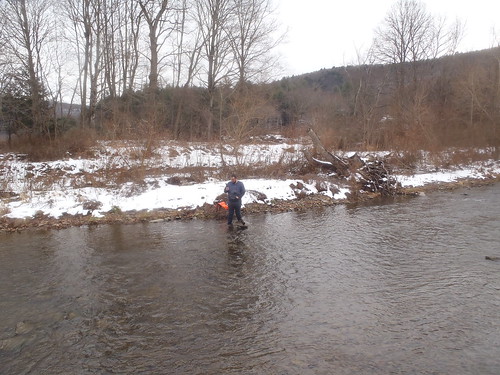
snow fieldwork hobo naturalgas freshwater waterquality sampling onset conductivity nontidal drbc
Shehawken Creek
square squareformat iphoneography instagramapp uploaded:by=instagram
#morning #trees | #nature #treatment | #fresh #air ???? | #upstate #hanckok | #inspiration
monitoring hobo naturalgas conductivity upperbasin drbc
Shehawken Creek
melissaandtommy
MELISSA-TOMMY_04702.jpg
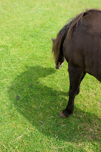
horse grass nose farm eat pony ima
Ima Shadow
monitoring hobo naturalgas conductivity upperbasin drbc
Shehawken Creek
usa newyork misc northamerica trips gps fingerlakes mp7 tripsvacations 201406 sonydscrx100m2
Misc - Finger Lakes (#09674)