Elevation of Hancock, NY, USA
Location: United States > New York > Delaware County >
Longitude: -75.201229
Latitude: 41.940314
Elevation: 448m / 1470feet
Barometric Pressure: 96KPa
Elevation Map:
Satellite Map:
Related Photos:
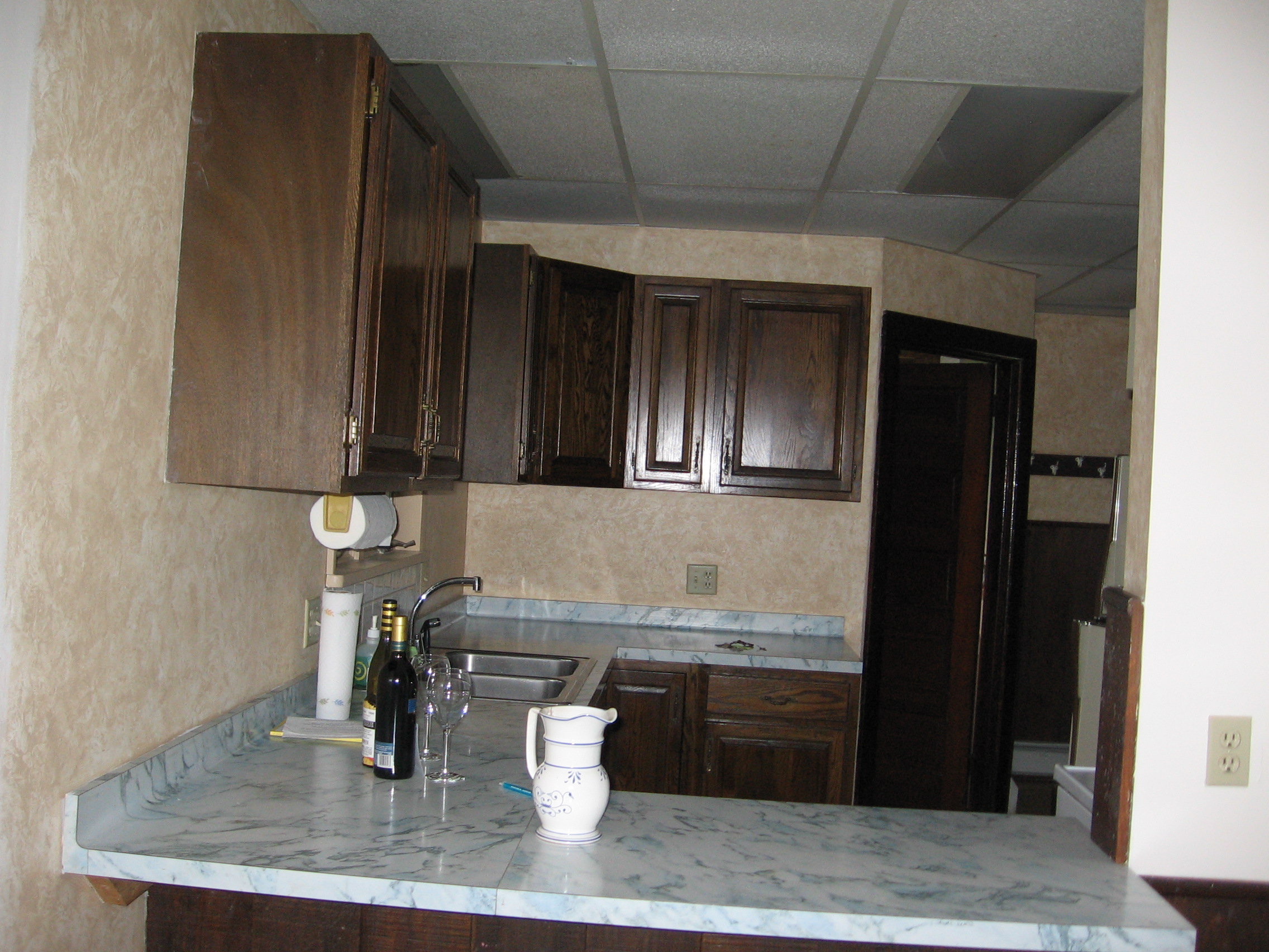
View of kitchen form dining room
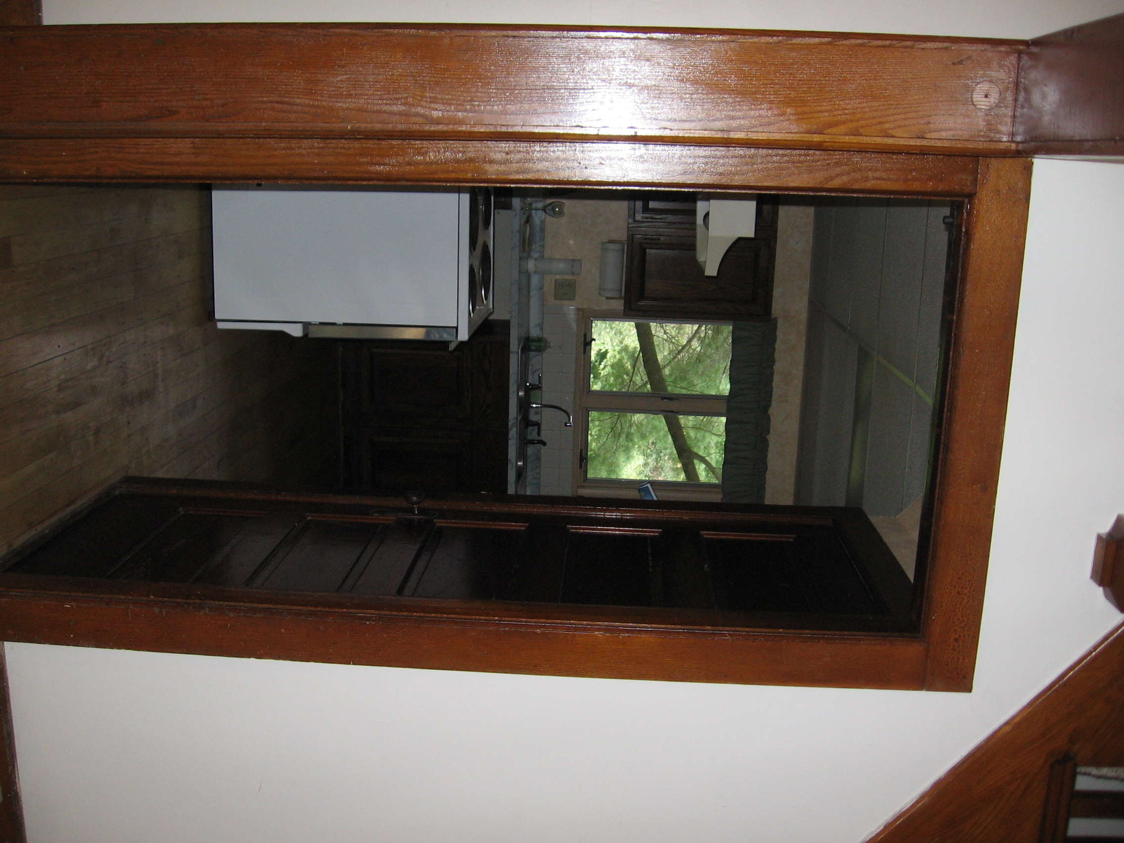
View from living room into kitchen
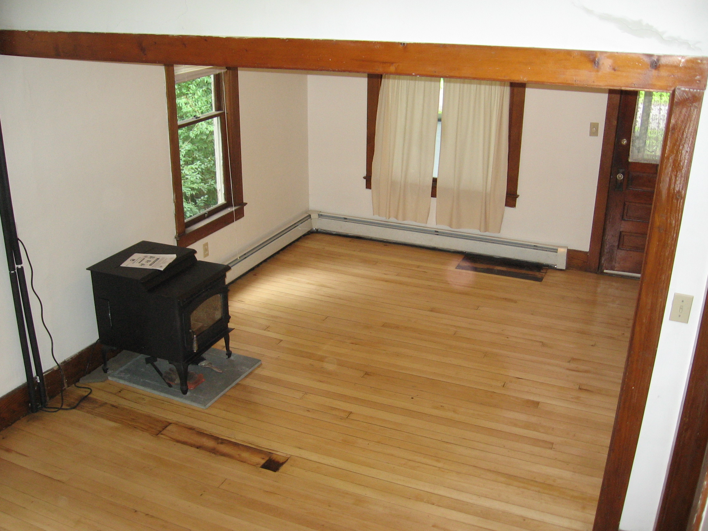
View of living room from stairs
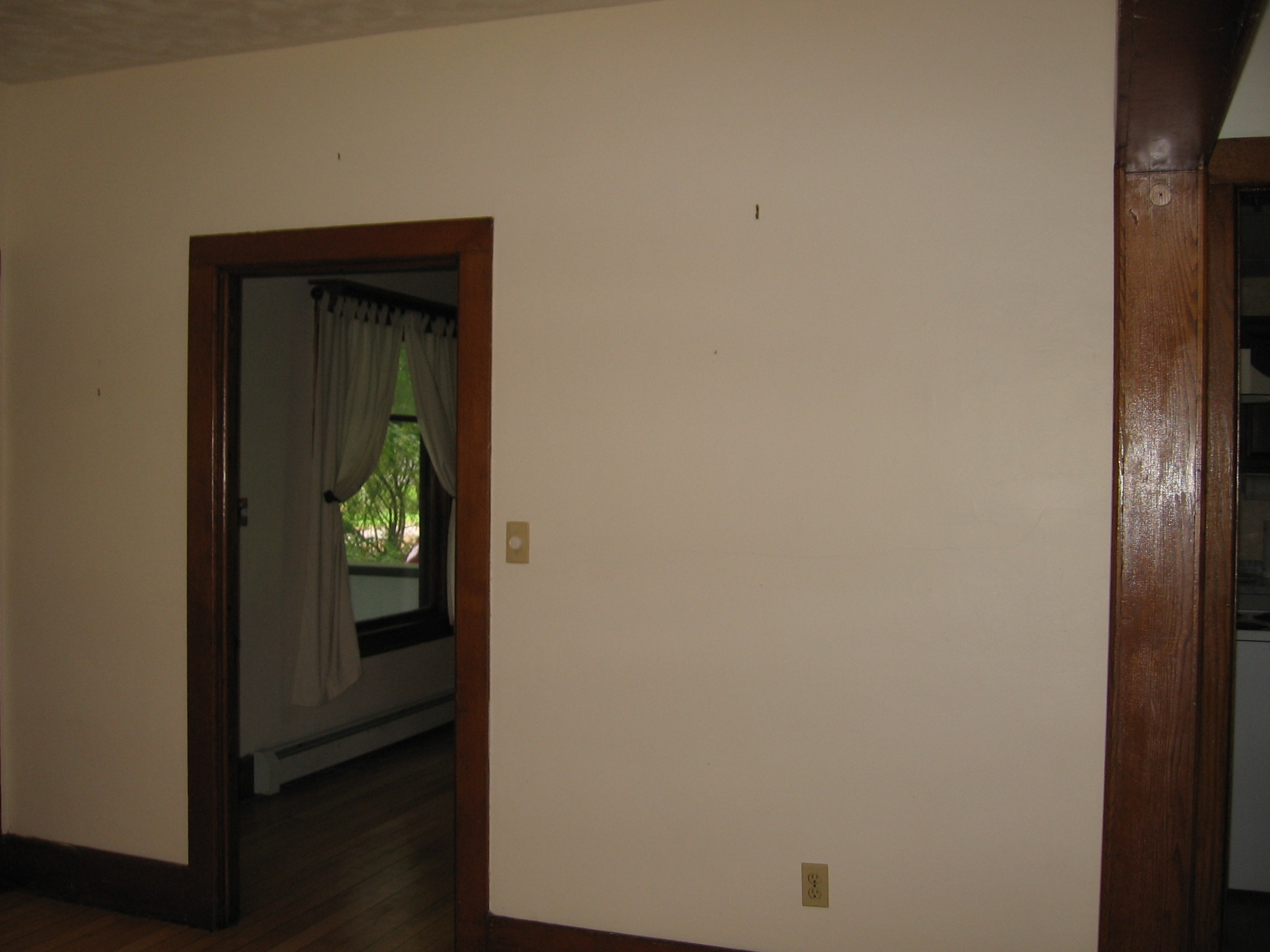
View from living room into dining room
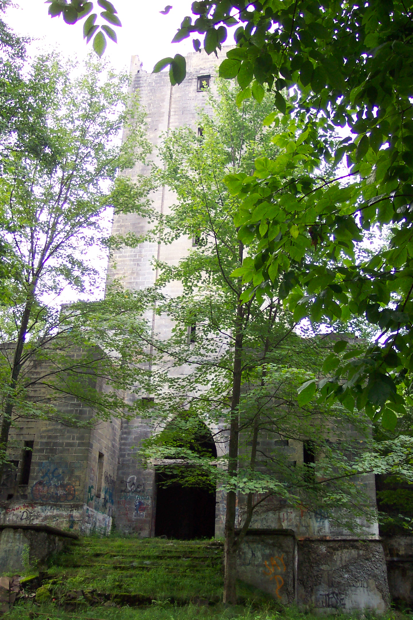
Hancock NY mausoleum

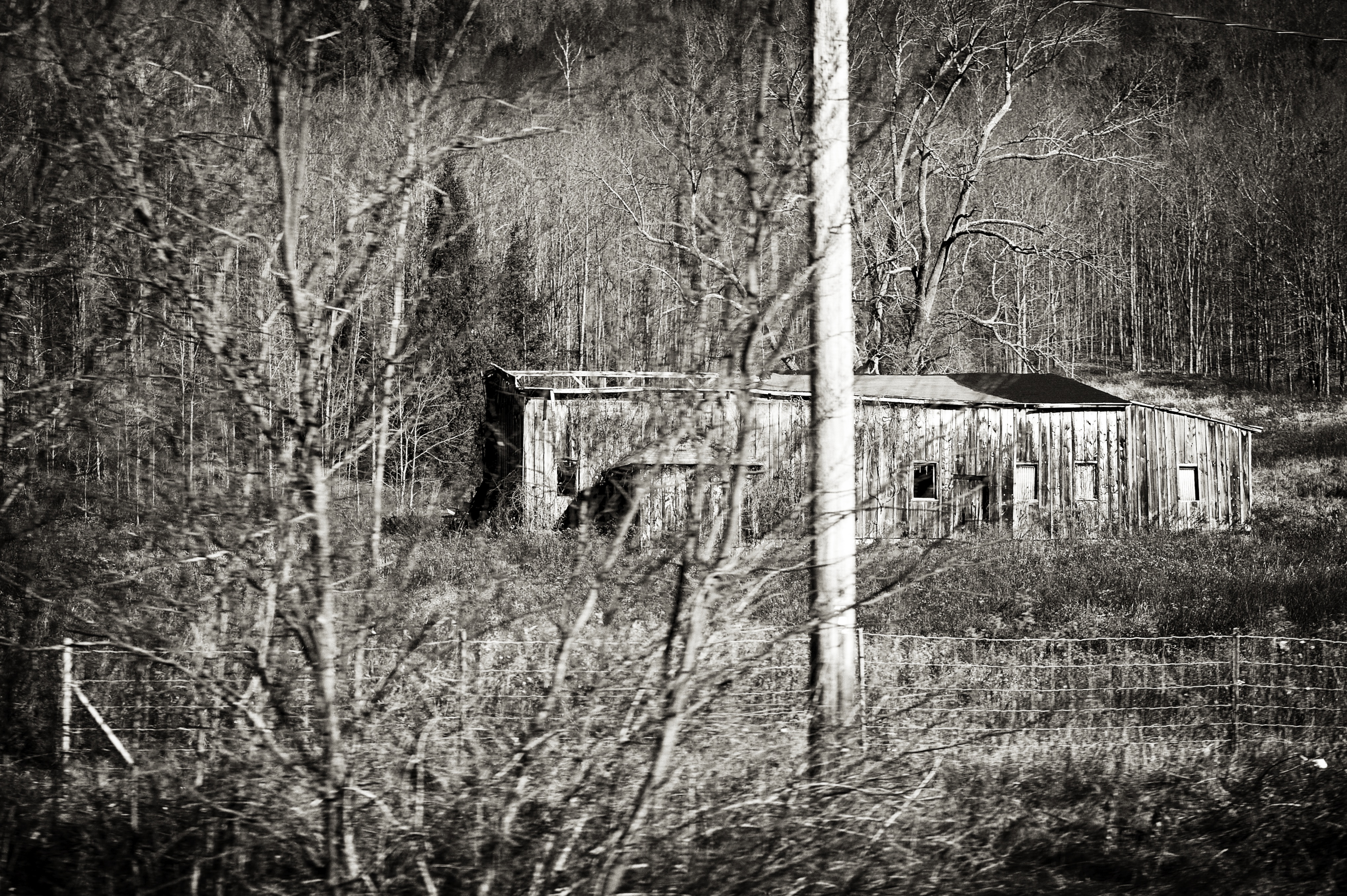
Invisible Bed in the Bushes
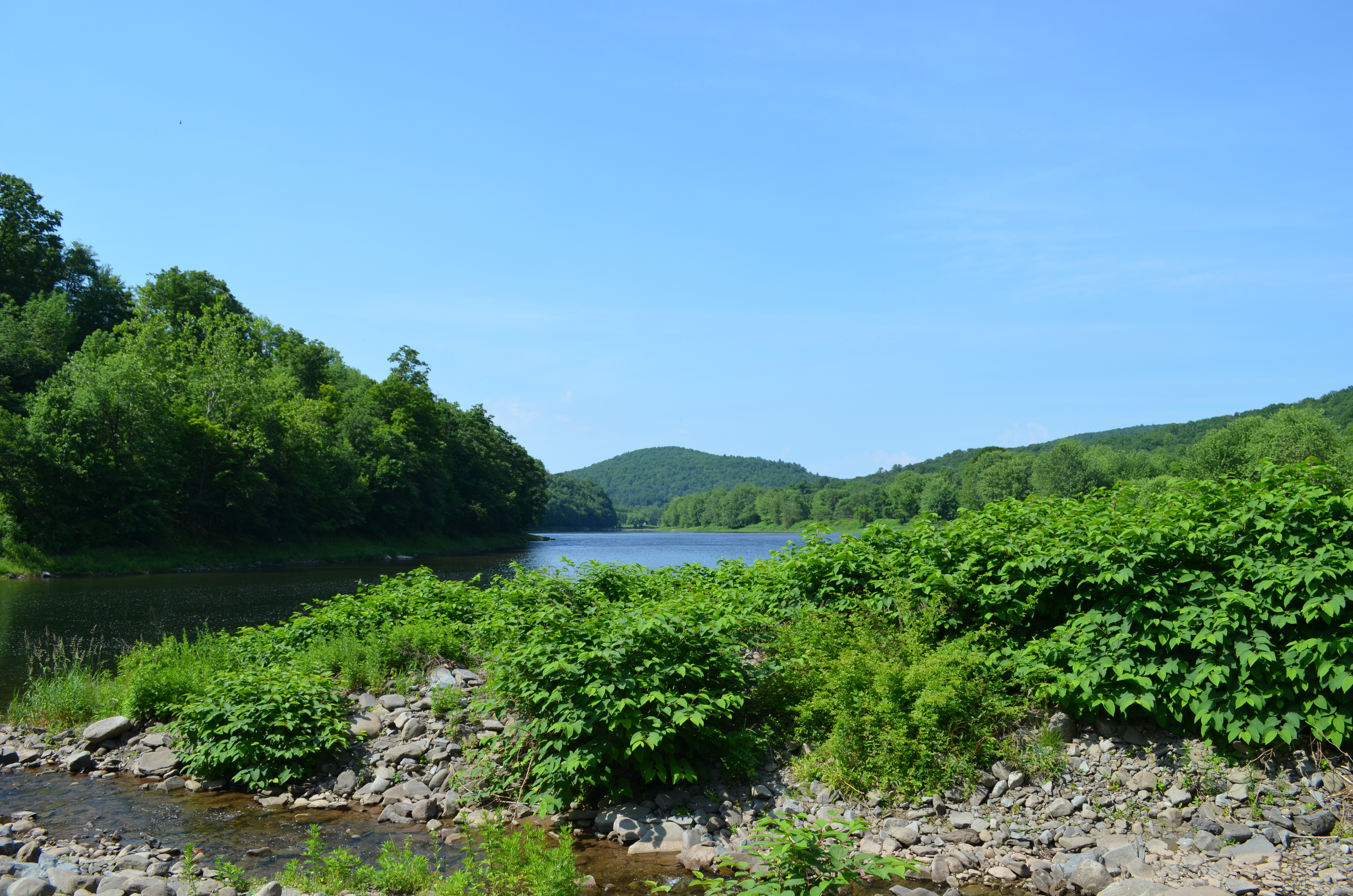
Delaware River View

#clouds #bluesky
DSCF6382.jpg
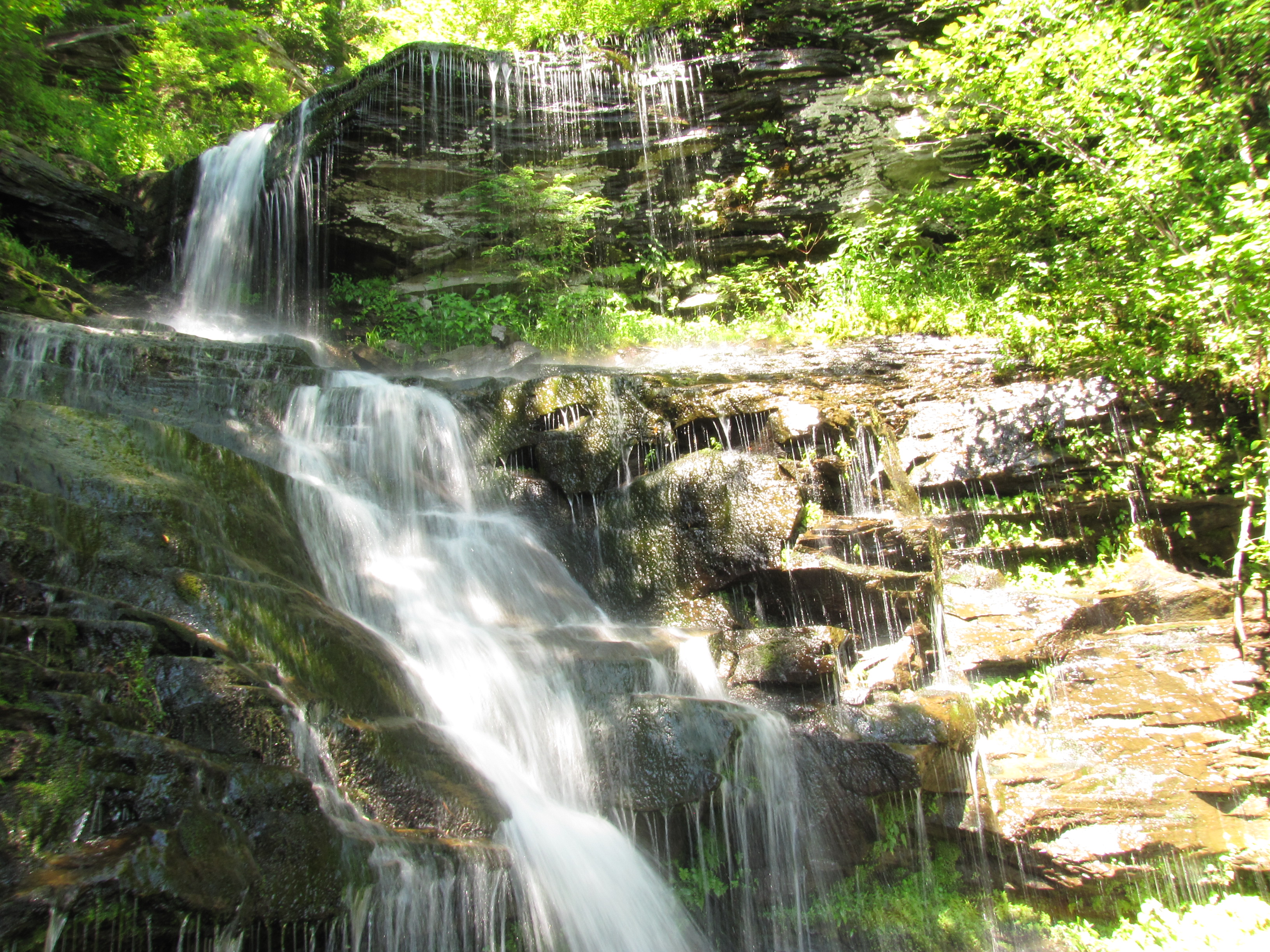
Bouchoux Mountain Waterfall, New York

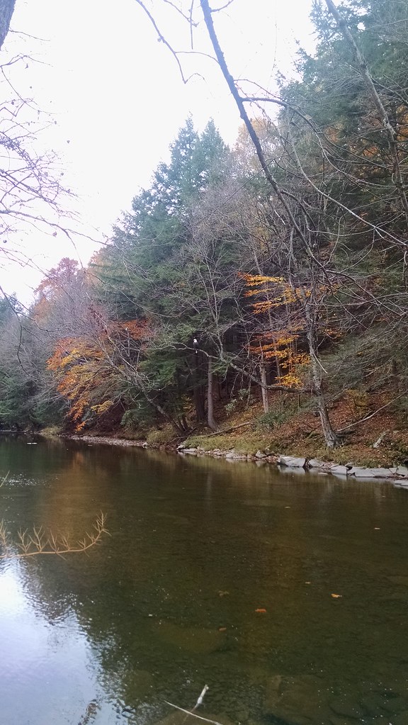
Shehawken Creek

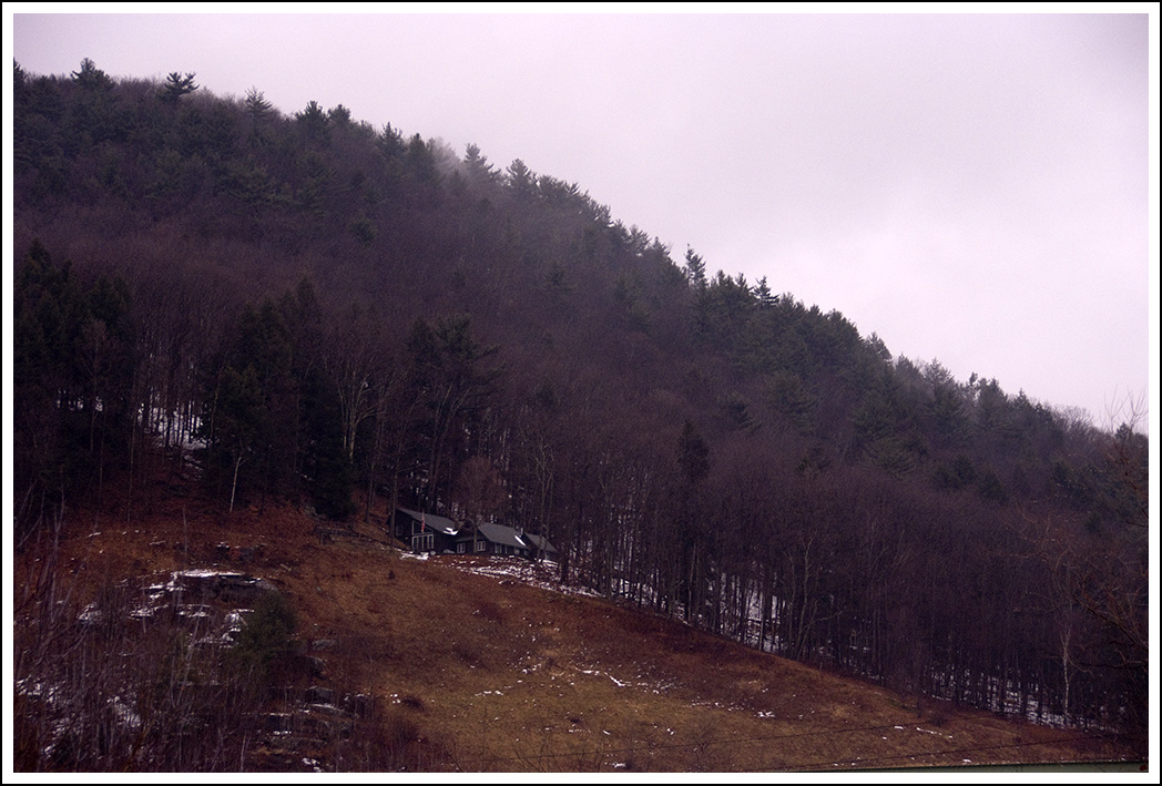
Foggy Morning

Delaware Water Gap,PA
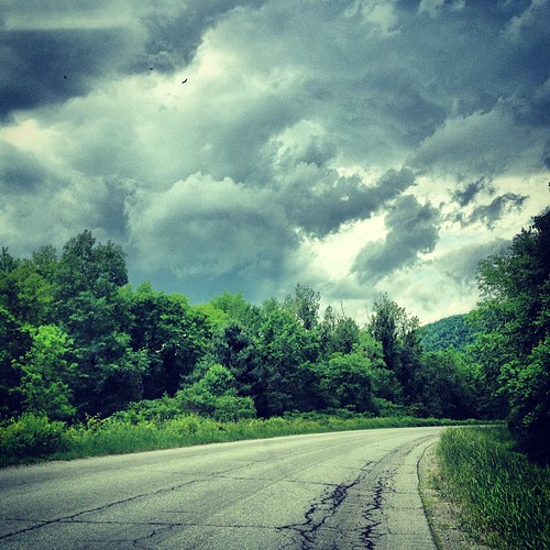
Back on the #road storm #clouds moving in

MELISSA-TOMMY_04702-2.jpg
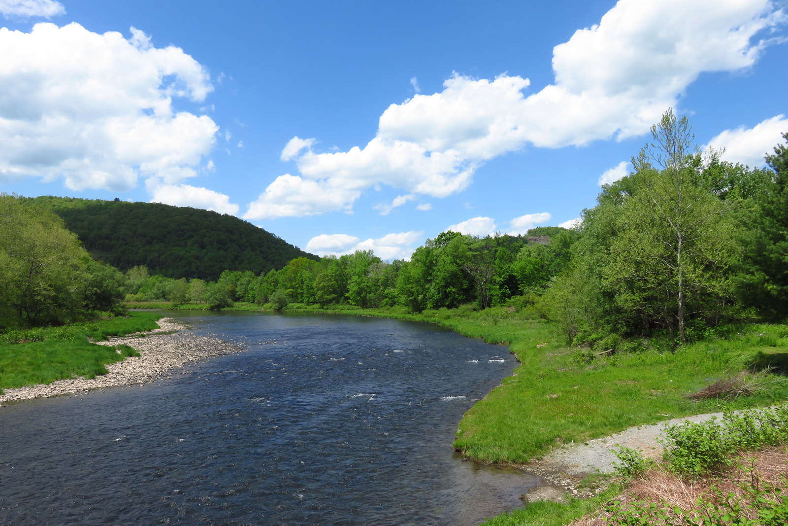
West Branch, Delaware River

#morning #trees | #nature #treatment | #fresh #air ???? | #upstate #hanckok | #inspiration
Better Days
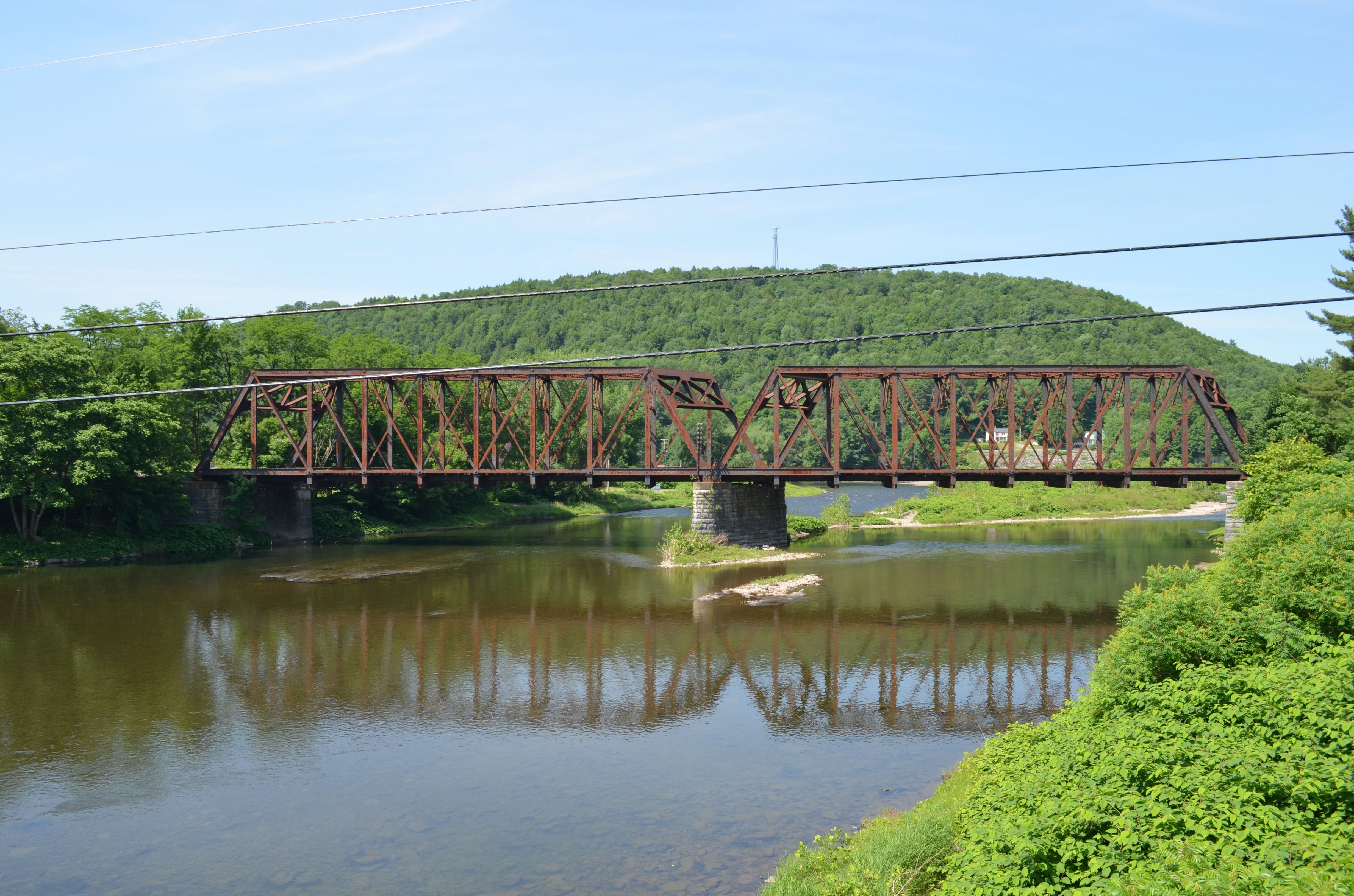
Rusty Railroad Bridge

MELISSA-TOMMY_04702.jpg

August 18, 2007
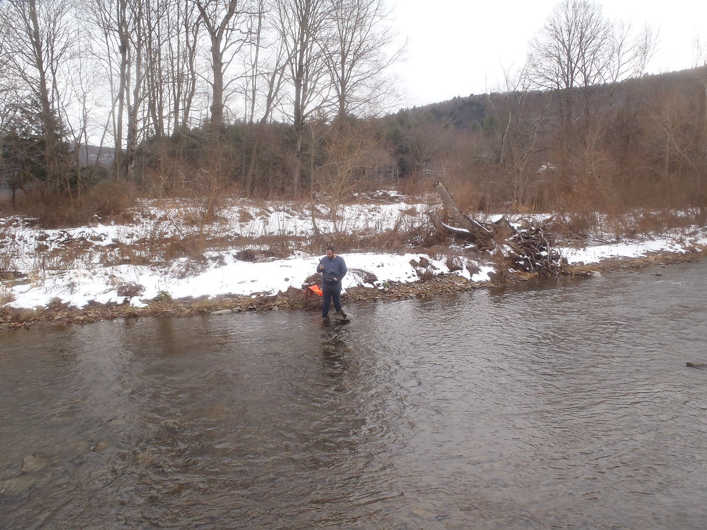
HOBO Maintenance
Shehawken Creek
Shehawken Creek

Shehawken Creek
Shehawken Creek HOBO
Misc - Finger Lakes (#09674)
Topographic Map of Hancock, NY, USA
Find elevation by address:

Places in Hancock, NY, USA:
Hancock
East Branch
Chiloway Rd, Roscoe, NY, USA
Readburn Rd, Walton, NY, USA
36 John Milk Rd, Long Eddy, NY, USA
Lordville
Places near Hancock, NY, USA:
1602 Bouchoux Brook Rd
157 Neering Rd
757 Silas Tompkins Rd
53 Riverview Rd
Lordville
3990 Hungry Hill Rd
3099 Hungry Hill Rd
River Road
East Branch
Equinunk
Equinunk
Equinunk
Equinunk
Equinunk
425 Hungry Hill Rd
Long Eddy, NY, USA
4020 Hancock Hwy
56 Raspberry Park Rd
Long Eddy
36 John Milk Rd, Long Eddy, NY, USA
Recent Searches:
- Elevation of Corso Fratelli Cairoli, 35, Macerata MC, Italy
- Elevation of Tallevast Rd, Sarasota, FL, USA
- Elevation of 4th St E, Sonoma, CA, USA
- Elevation of Black Hollow Rd, Pennsdale, PA, USA
- Elevation of Oakland Ave, Williamsport, PA, USA
- Elevation of Pedrógão Grande, Portugal
- Elevation of Klee Dr, Martinsburg, WV, USA
- Elevation of Via Roma, Pieranica CR, Italy
- Elevation of Tavkvetili Mountain, Georgia
- Elevation of Hartfords Bluff Cir, Mt Pleasant, SC, USA