Elevation of Hub Lake, Montana, USA
Location: United States > Montana > Mineral County >
Longitude: -115.37573
Latitude: 47.2756021
Elevation: 1740m / 5709feet
Barometric Pressure: 82KPa
Elevation Map:
Satellite Map:
Related Photos:
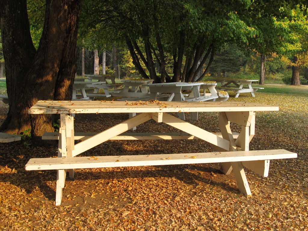
Fall at Savenac. Montana
Drexel, Montana
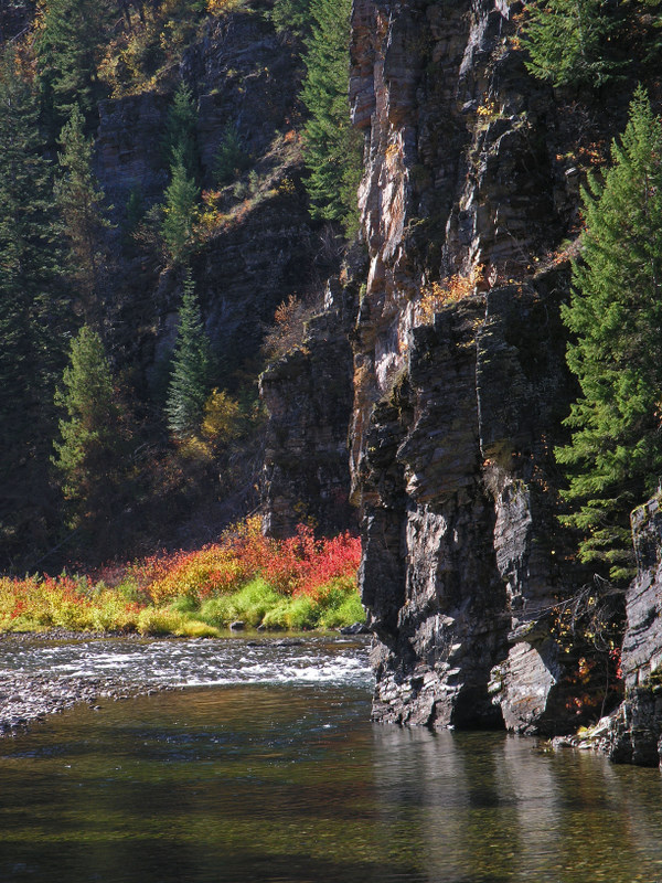
The St. Joe River at Gold Creek
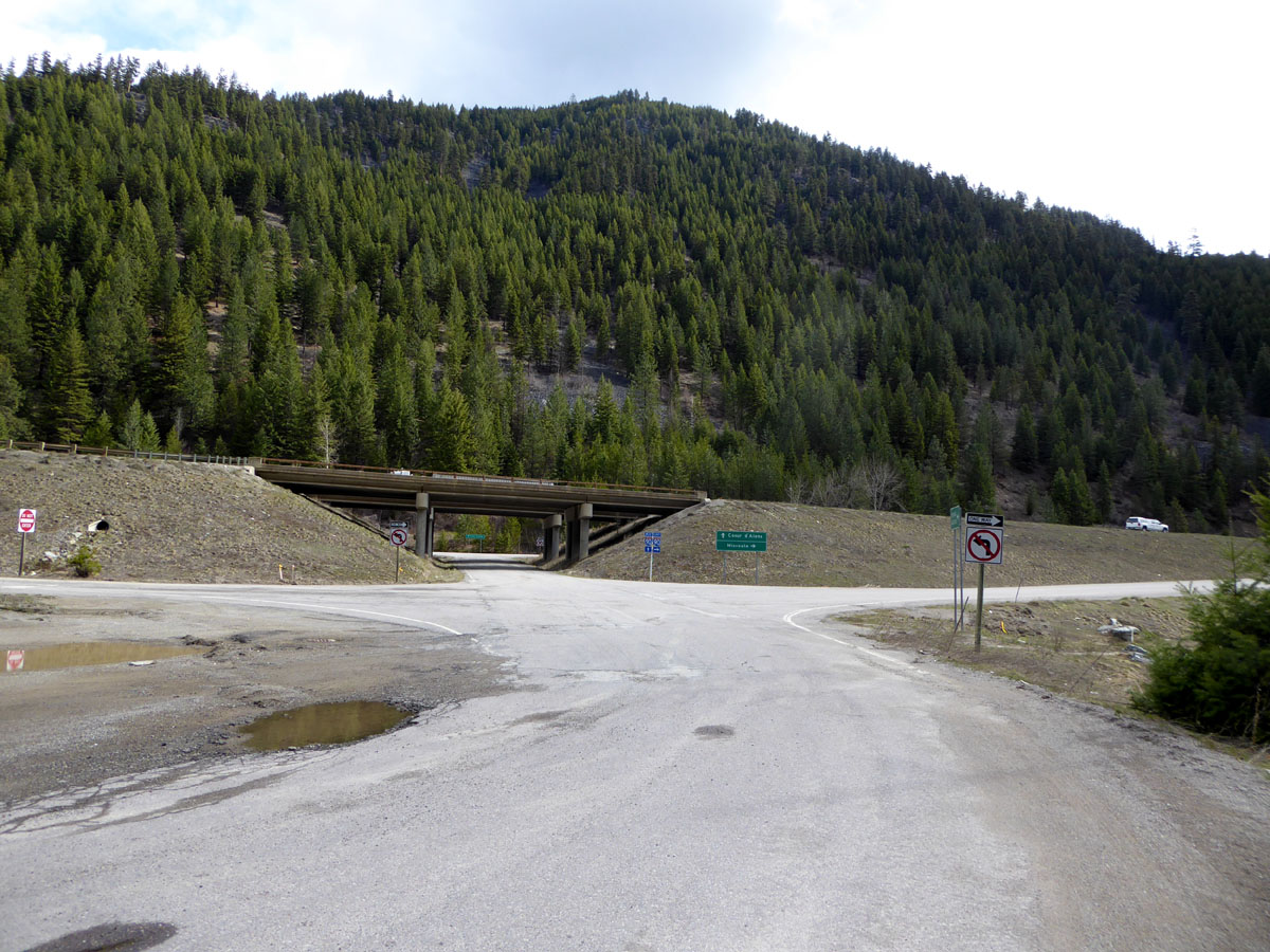
DeBorgia, Montana 59830
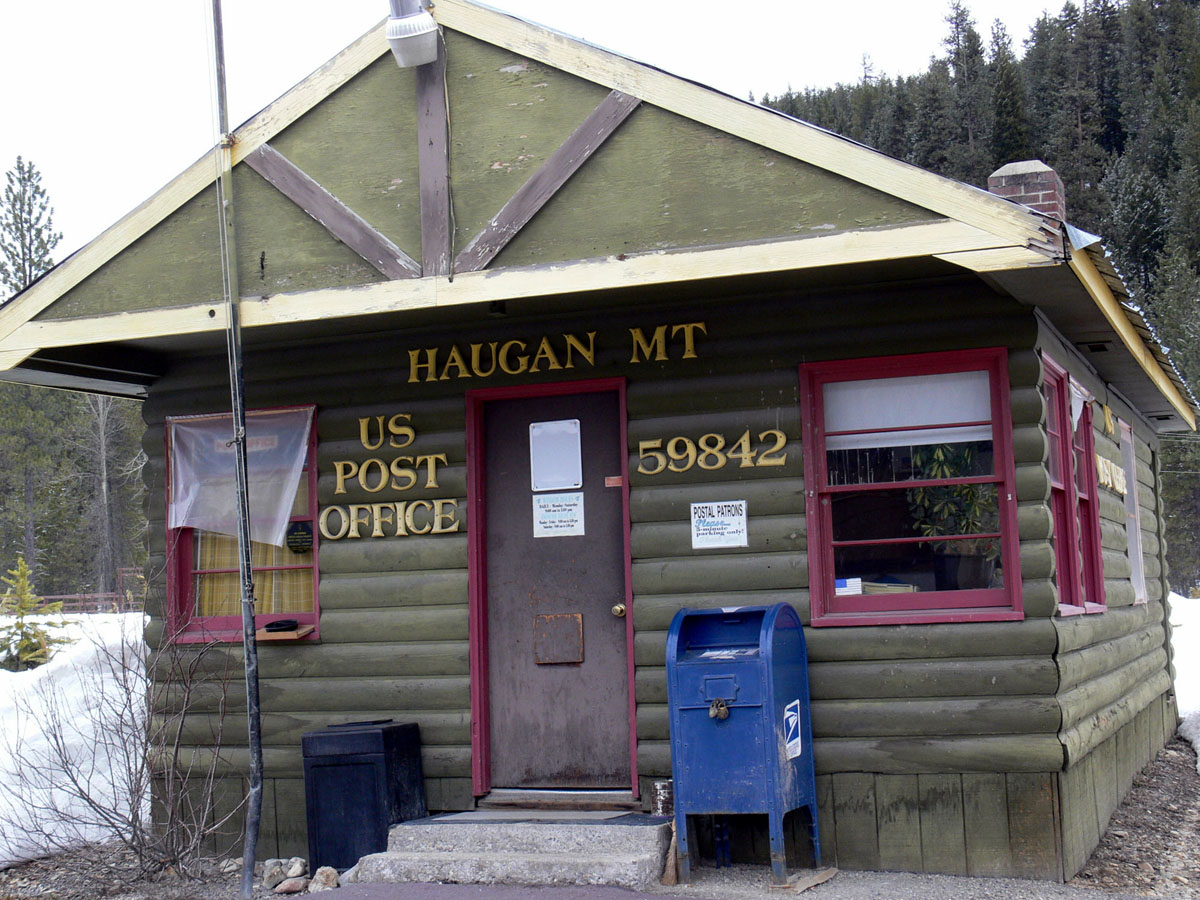
Haugan, Montana 59842

090802_010-View of the Clark Fork from near the Key Stone cache

Mullered... by Welchie's driving!

Drexel, Montana

Mary Lake in 1st cirque from Ward Peak

2nd cirque and unnamed lake from Ward Peak
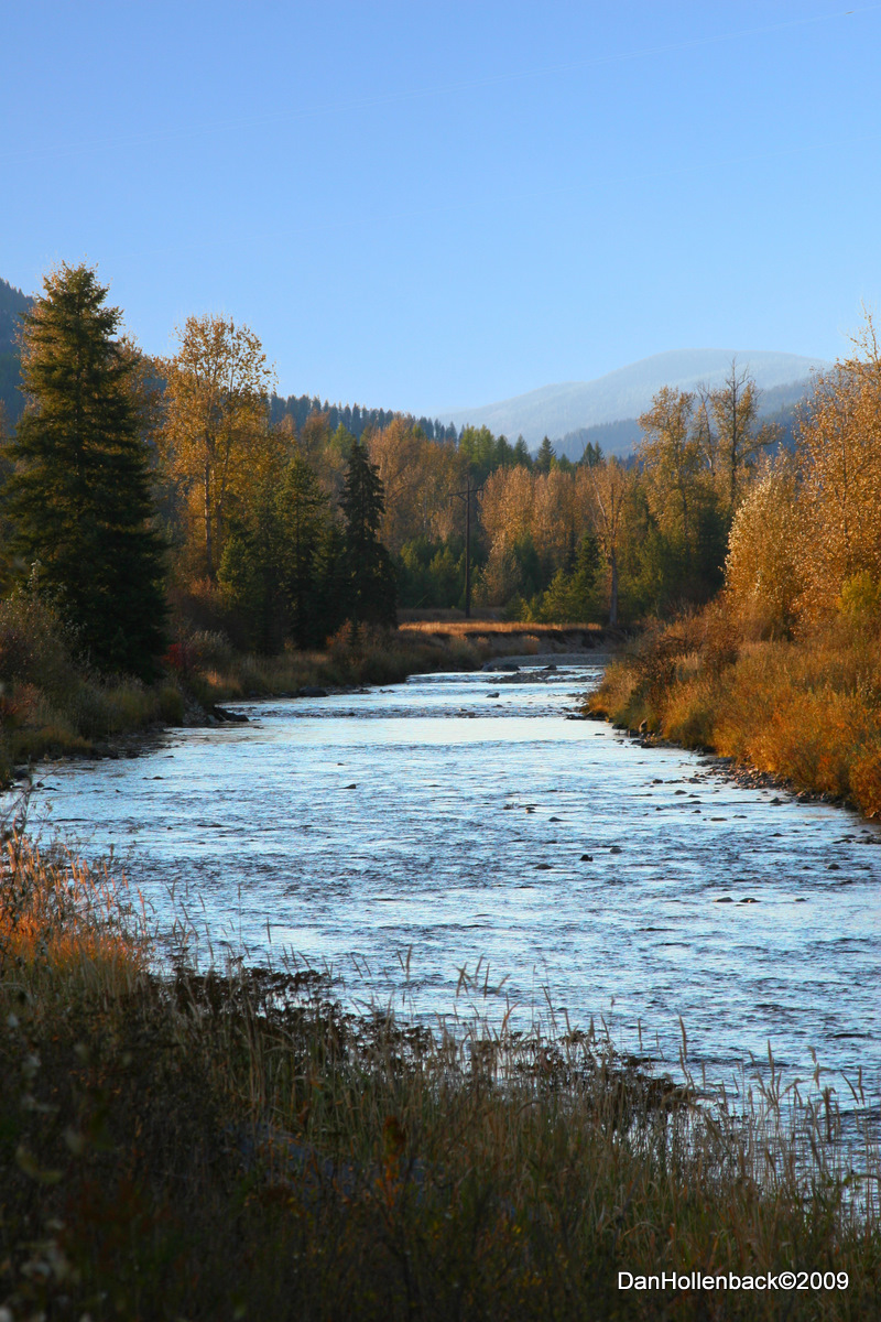
St Regis River Mineral County MT

Mary Lake in 1st cirque from Ward Peak ridgeline

Hub Lake

20091011_DPH_C_0044 ps

Haugan, MT
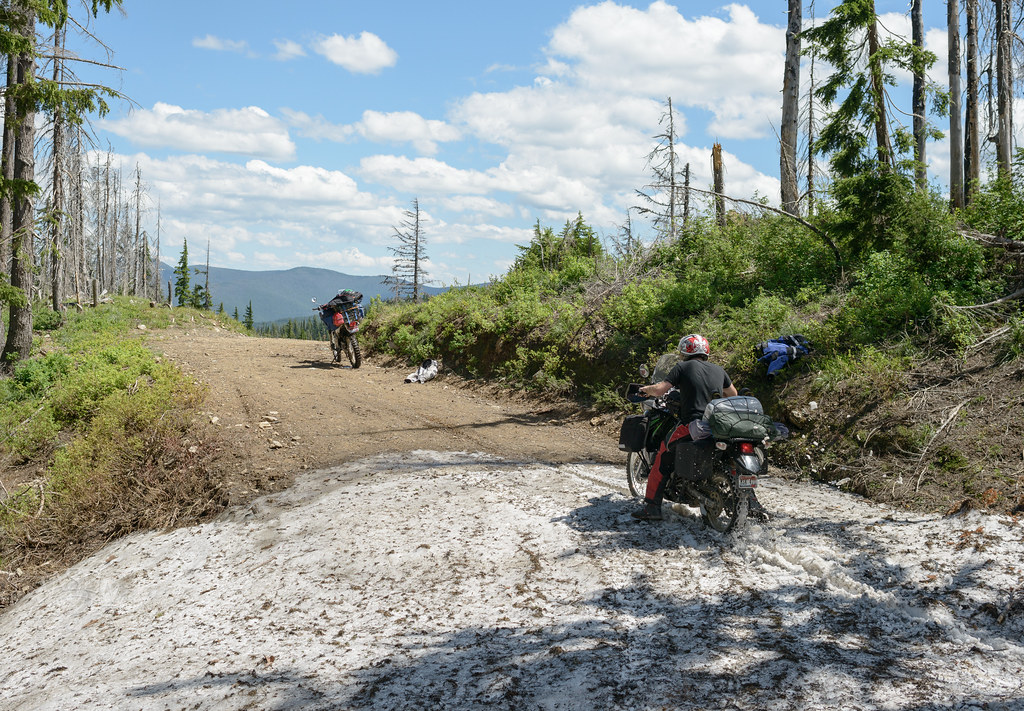
KLR Power

Hub Lake

ridge and pass above Hub Lake with trail to Ward Peak

trail from Hub Lake up to pass to connect with Ward Peak trail

2nd cirque and unnamed lake from Ward Peak

Mary Lake from Ward Peak ridgeline

trail to Ward Peak

trail from Hub Lake up to pass to connect with Ward Peak trail

Ward Peak ridgeline

Ward Peak ridgeline
Topographic Map of Hub Lake, Montana, USA
Find elevation by address:

Places near Hub Lake, Montana, USA:
Haugan
Dismal Lake
8 Brooks Ln
Thompson Falls
Lookout Pass
Lookout Pass
Milwaukee Rd, Avery, ID, USA
3 Grand Dr
Avery
602 Earle St
Mullan
20 Buffalo Meadows Ln
Golconda Rd, Wallace, ID, USA
Shoshone County
Placer Creek Road
62713 Benthams Rd
29 Meadow St
843 Burke Rd
419 Burke Rd
Burke Road
Recent Searches:
- Elevation of 3 Nestling Wood Dr, Long Valley, NJ, USA
- Elevation of Ilungu, Tanzania
- Elevation of Yellow Springs Road, Yellow Springs Rd, Chester Springs, PA, USA
- Elevation of Rēzekne Municipality, Latvia
- Elevation of Plikpūrmaļi, Vērēmi Parish, Rēzekne Municipality, LV-, Latvia
- Elevation of 2 Henschke Ct, Caboolture QLD, Australia
- Elevation of Redondo Ave, Long Beach, CA, USA
- Elevation of Sadovaya Ulitsa, 20, Rezh, Sverdlovskaya oblast', Russia
- Elevation of Ulitsa Kalinina, 79, Rezh, Sverdlovskaya oblast', Russia
- Elevation of 72-31 Metropolitan Ave, Middle Village, NY, USA