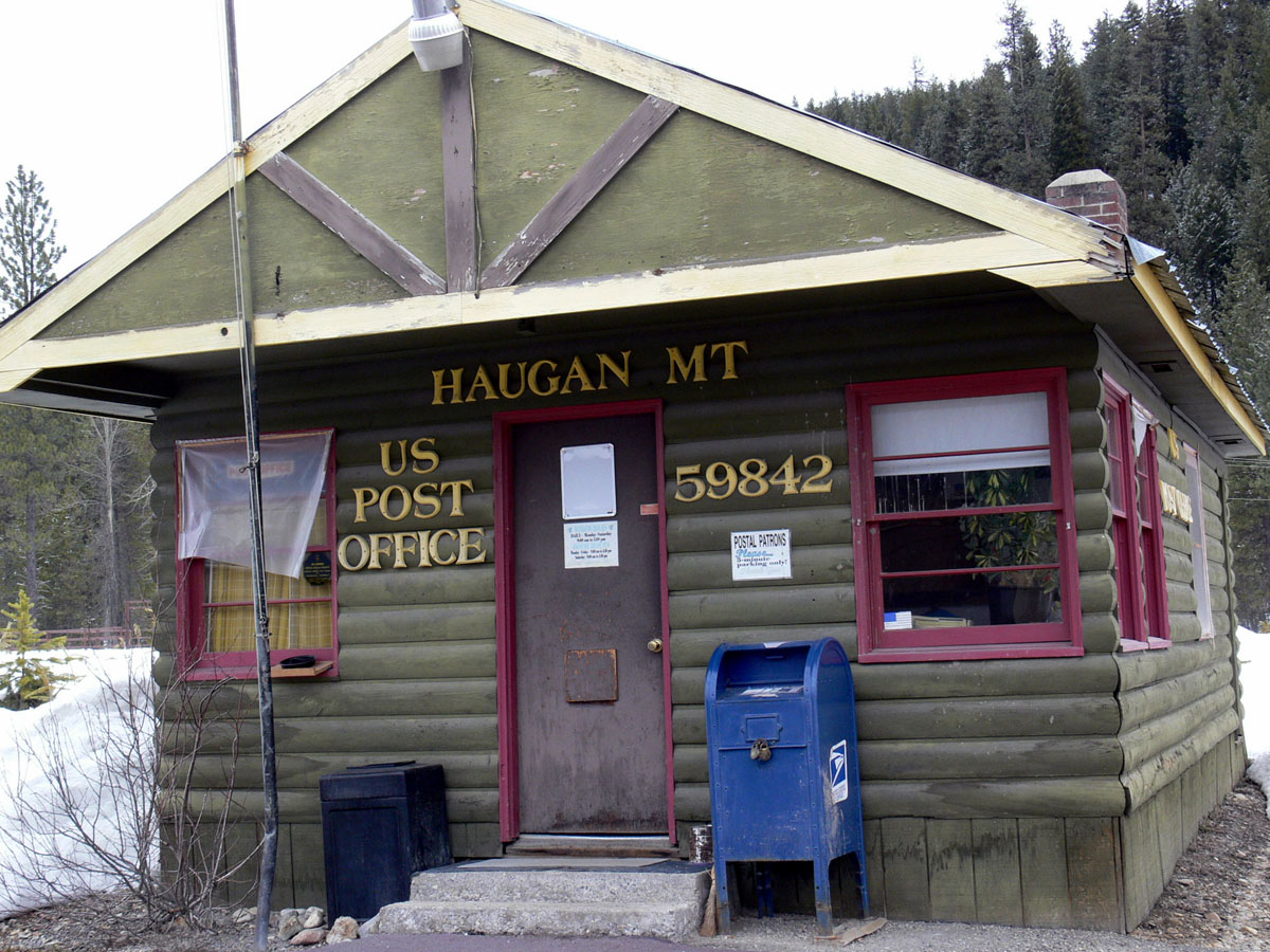
Elevation of Haugan, MT, USA
Location: United States > Montana > Mineral County >
Longitude: -115.39959
Latitude: 47.3832632
Elevation: 954m / 3130feet
Barometric Pressure: 90KPa
Elevation Map:
Satellite Map:
Related Photos:

Henderson, Montana

Fall at Savenac. Montana

Postcard: Spectacular Highway 10 in Montana

Lolo National forest, Montana

Saltese, Montana 59867
Drexel, Montana
DeBorgia, Montana 59830
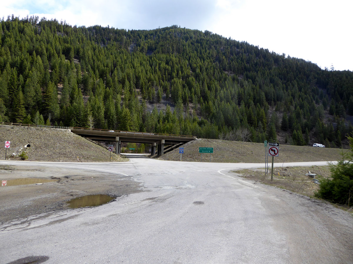
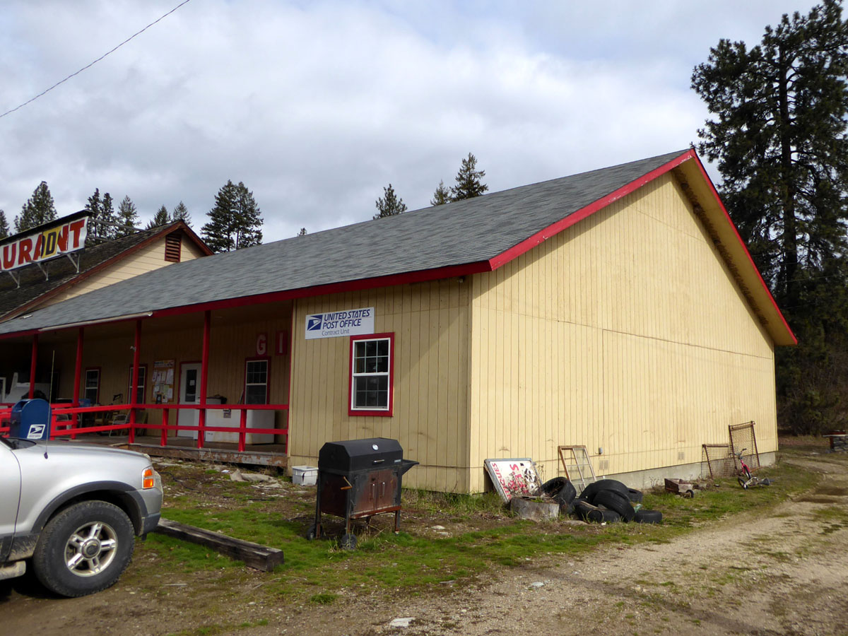
Haugan, Montana 59842

090802_011-View of the Clark Fork from near the BELOW GRADE cache

090802_010-View of the Clark Fork from near the Key Stone cache

Haugan, MT

Taft, Montana

06102018-28

Drexel, Montana
06102018-26
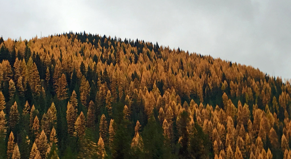
2015 10-26 Near St Regis MT Larch trees IMG_9343
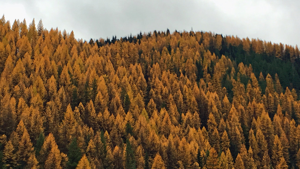
2015 10-26 Near St Regis MT Larch trees IMG_9348

Scenes from #RaceRiotTour: Travel day through #montana #nofilter #lolonationalforest
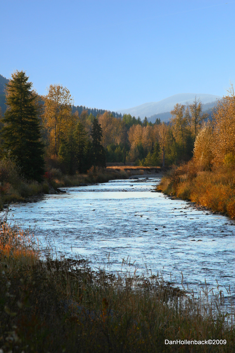
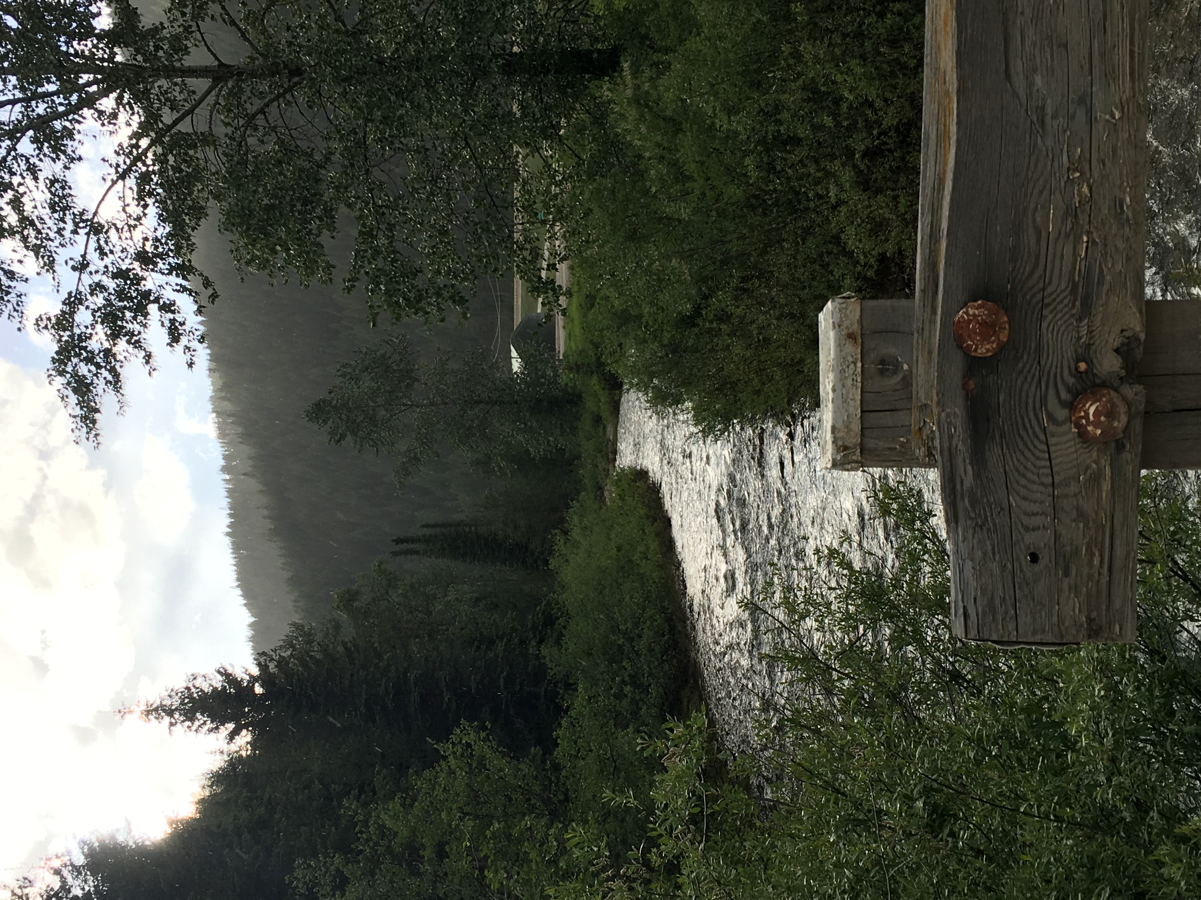
St Regis River Mineral County MT
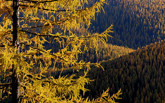
Western Larch

20091011_DPH_C_0044 ps
20100801 Montana-Silver$$05

20090515_DPH-C-_0124 _p
Topographic Map of Haugan, MT, USA
Find elevation by address:

Places near Haugan, MT, USA:
Hub Lake
8 Brooks Ln
Thompson Falls
Lookout Pass
Lookout Pass
3 Grand Dr
Dismal Lake
20 Buffalo Meadows Ln
602 Earle St
Mullan
Milwaukee Rd, Avery, ID, USA
Avery
Golconda Rd, Wallace, ID, USA
Placer Creek Road
62713 Benthams Rd
29 Meadow St
843 Burke Rd
Wallace, ID, USA
419 Burke Rd
Burke Road
Recent Searches:
- Elevation of Great Brook Sports, Gold Star Hwy, Groton, CT, USA
- Elevation of 10 Mountain Laurels Dr, Nashua, NH, USA
- Elevation of 16 Gilboa Ln, Nashua, NH, USA
- Elevation of Laurel Rd, Townsend, TN, USA
- Elevation of 3 Nestling Wood Dr, Long Valley, NJ, USA
- Elevation of Ilungu, Tanzania
- Elevation of Yellow Springs Road, Yellow Springs Rd, Chester Springs, PA, USA
- Elevation of Rēzekne Municipality, Latvia
- Elevation of Plikpūrmaļi, Vērēmi Parish, Rēzekne Municipality, LV-, Latvia
- Elevation of 2 Henschke Ct, Caboolture QLD, Australia