Elevation map of Shoshone County, ID, USA
Location: United States > Idaho >
Longitude: -115.91046
Latitude: 47.1746948
Elevation: 1256m / 4121feet
Barometric Pressure: 87KPa
Elevation Map:
Satellite Map:
Related Photos:
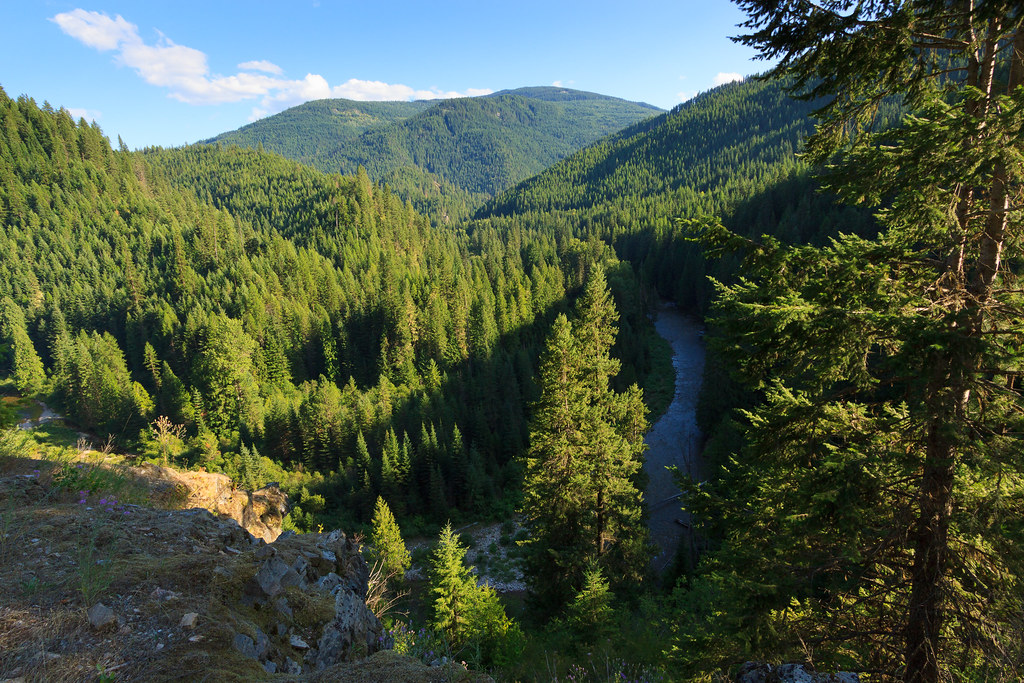
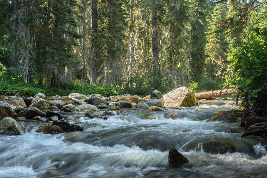
Marble Creek

Geotag Test
Grandmother & Grandfather

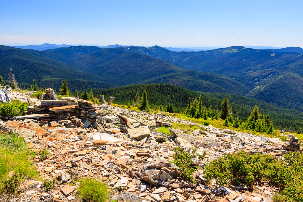
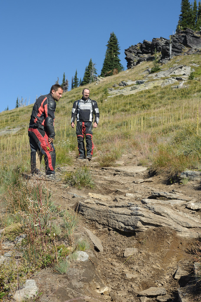
At the summit of Lookout
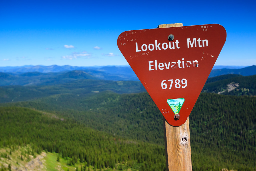
Summit Marker
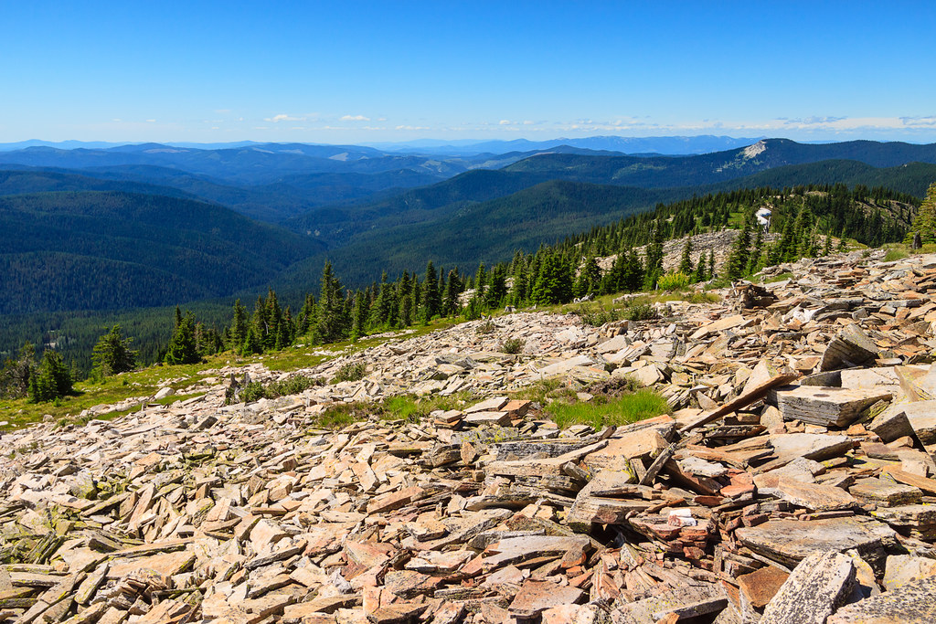
View North
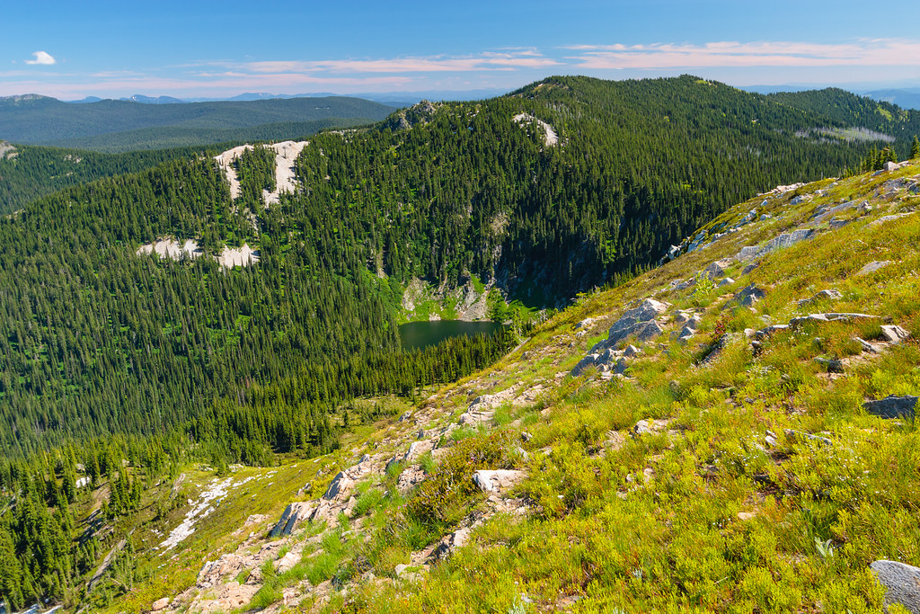
Lost Lake
A little rough
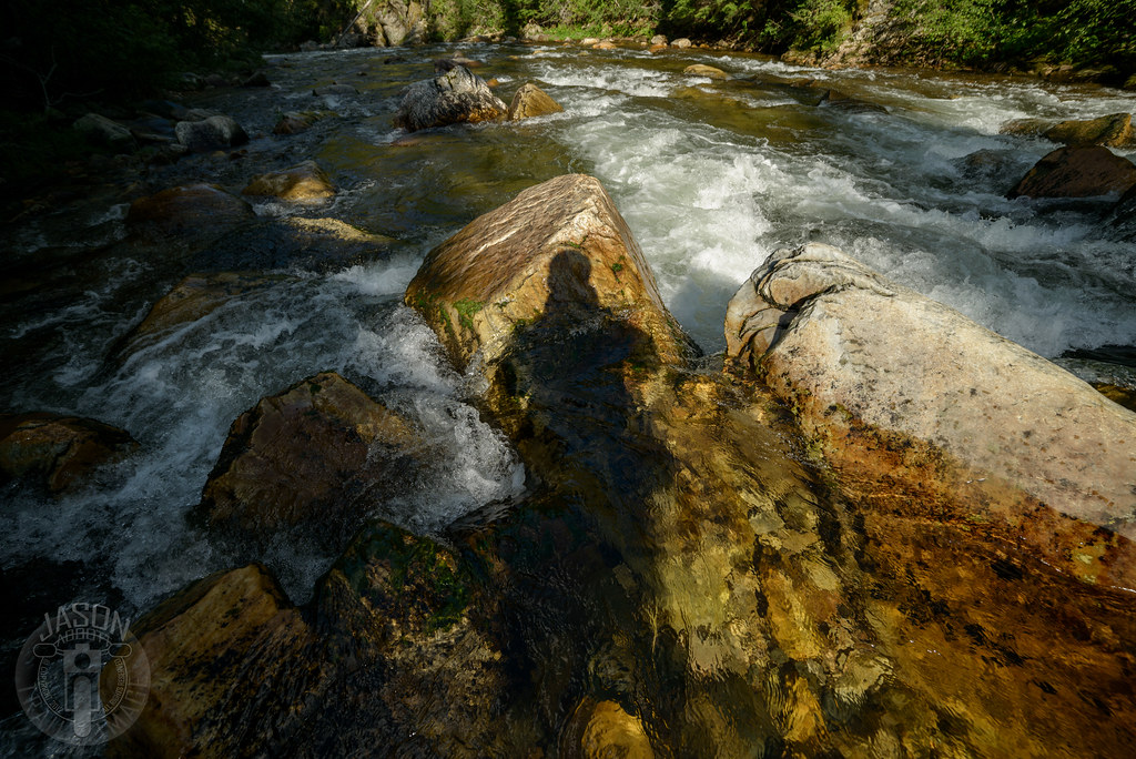
My shadow in the water
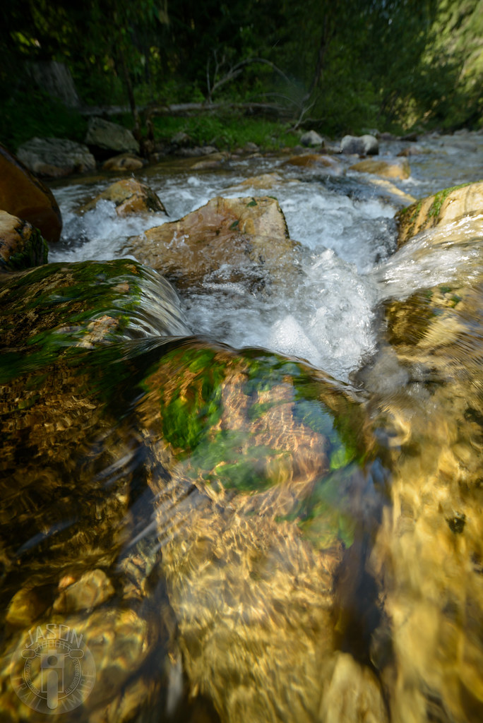
I only almost fell once
Little North Fork of the Clearwater River

From Widow Peak

Looking back
Fishhook Creek
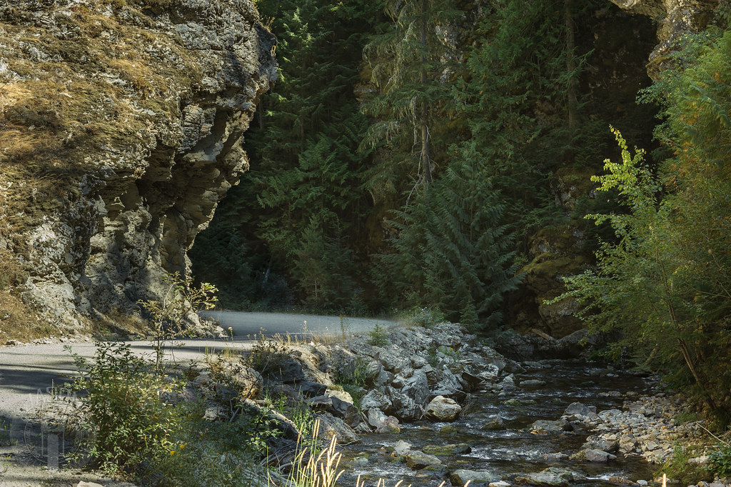
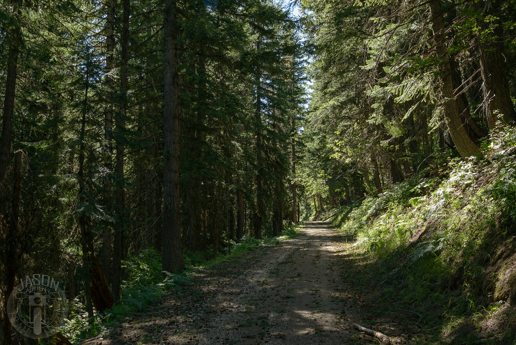
Road along Marble Creek
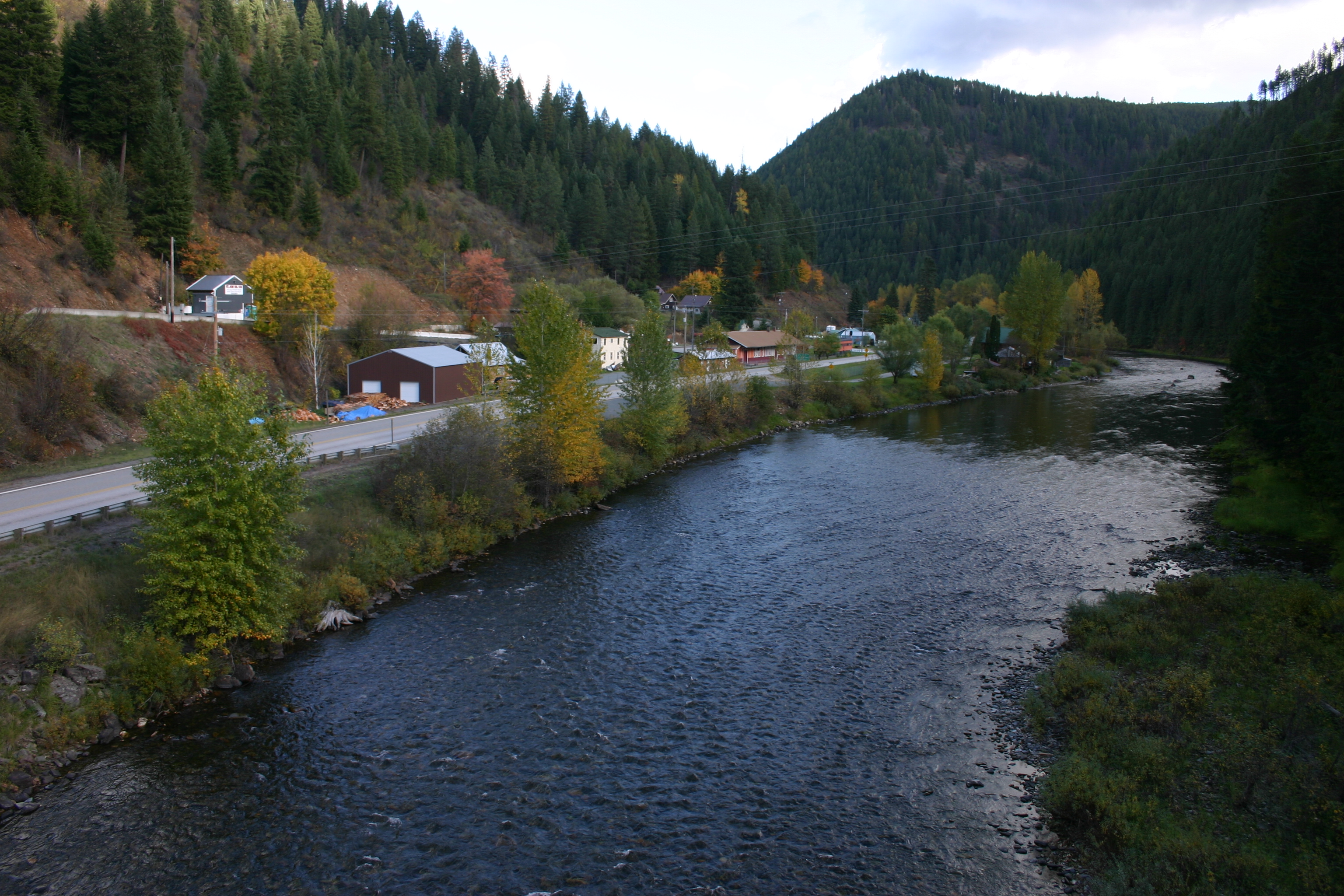
Avery 1
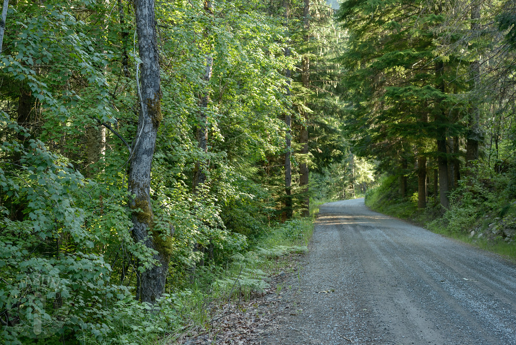
Road 301 after a wind storm
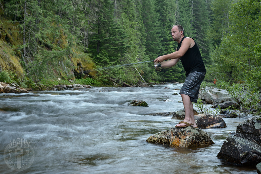
Hoping for fish dinner
Topographic Map of Shoshone County, ID, USA
Find elevation by address:

Places in Shoshone County, ID, USA:
Places near Shoshone County, ID, USA:
Avery
Milwaukee Rd, Avery, ID, USA
Placer Creek Road
Dismal Lake
133 King St
Wallace
29 Meadow St
Golconda Rd, Wallace, ID, USA
Burke Road
62713 Benthams Rd
419 Burke Rd
843 Burke Rd
Mullan
602 Earle St
Lookout Pass
Lookout Pass
Clarkia
870 Moon Gulch Rd
53674 State Hwy 3
Kellogg
Recent Searches:
- Elevation of Corso Fratelli Cairoli, 35, Macerata MC, Italy
- Elevation of Tallevast Rd, Sarasota, FL, USA
- Elevation of 4th St E, Sonoma, CA, USA
- Elevation of Black Hollow Rd, Pennsdale, PA, USA
- Elevation of Oakland Ave, Williamsport, PA, USA
- Elevation of Pedrógão Grande, Portugal
- Elevation of Klee Dr, Martinsburg, WV, USA
- Elevation of Via Roma, Pieranica CR, Italy
- Elevation of Tavkvetili Mountain, Georgia
- Elevation of Hartfords Bluff Cir, Mt Pleasant, SC, USA