Elevation of King St, Wallace, ID, USA
Location: United States > Idaho > Shoshone County > Wallace >
Longitude: -115.93271
Latitude: 47.4694901
Elevation: 844m / 2769feet
Barometric Pressure: 92KPa
Elevation Map:
Satellite Map:
Related Photos:
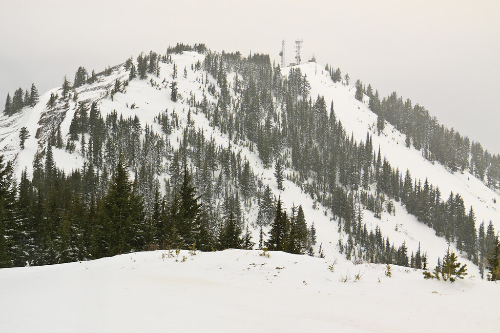
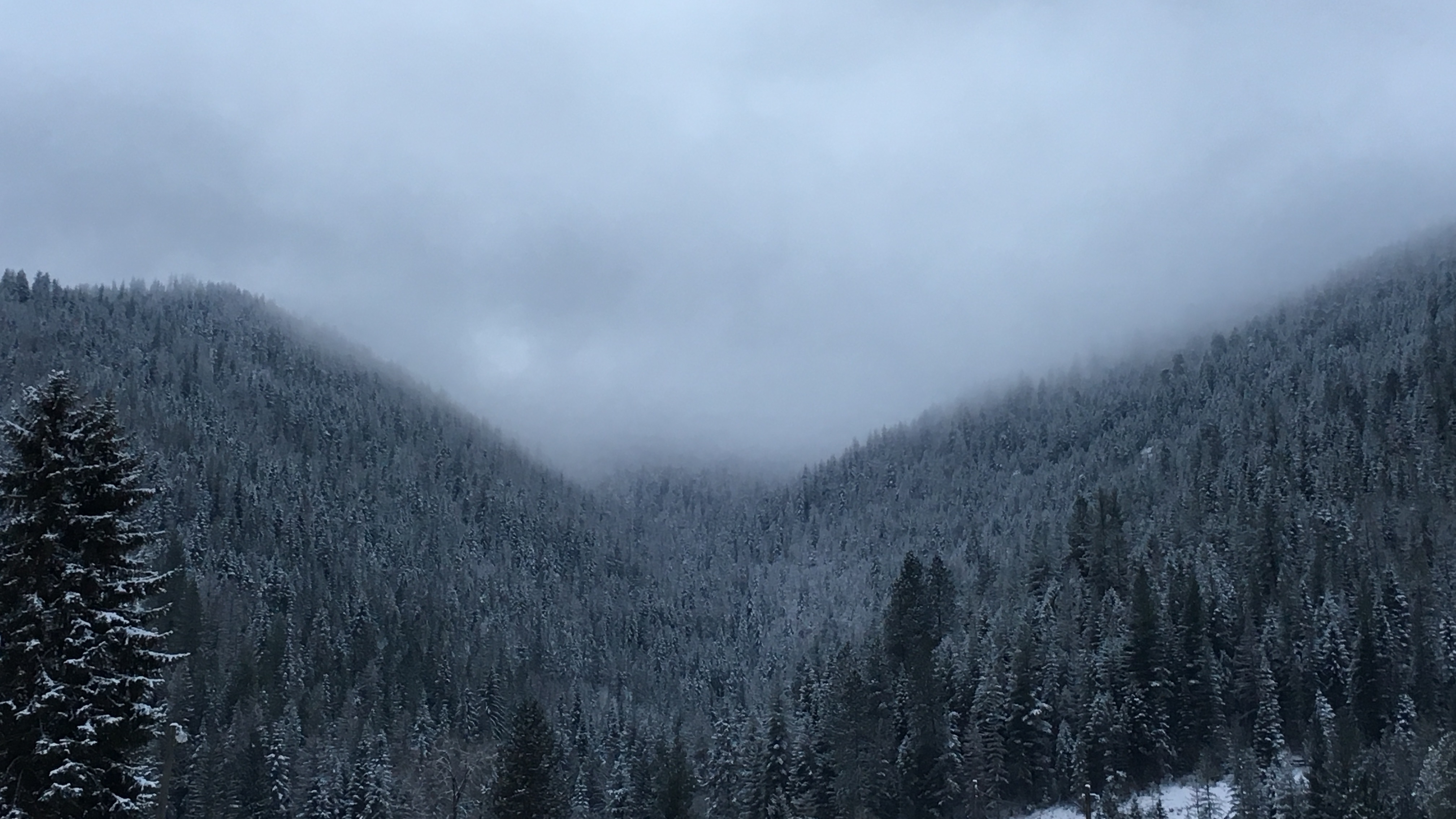
Warner Peak

Chair 4
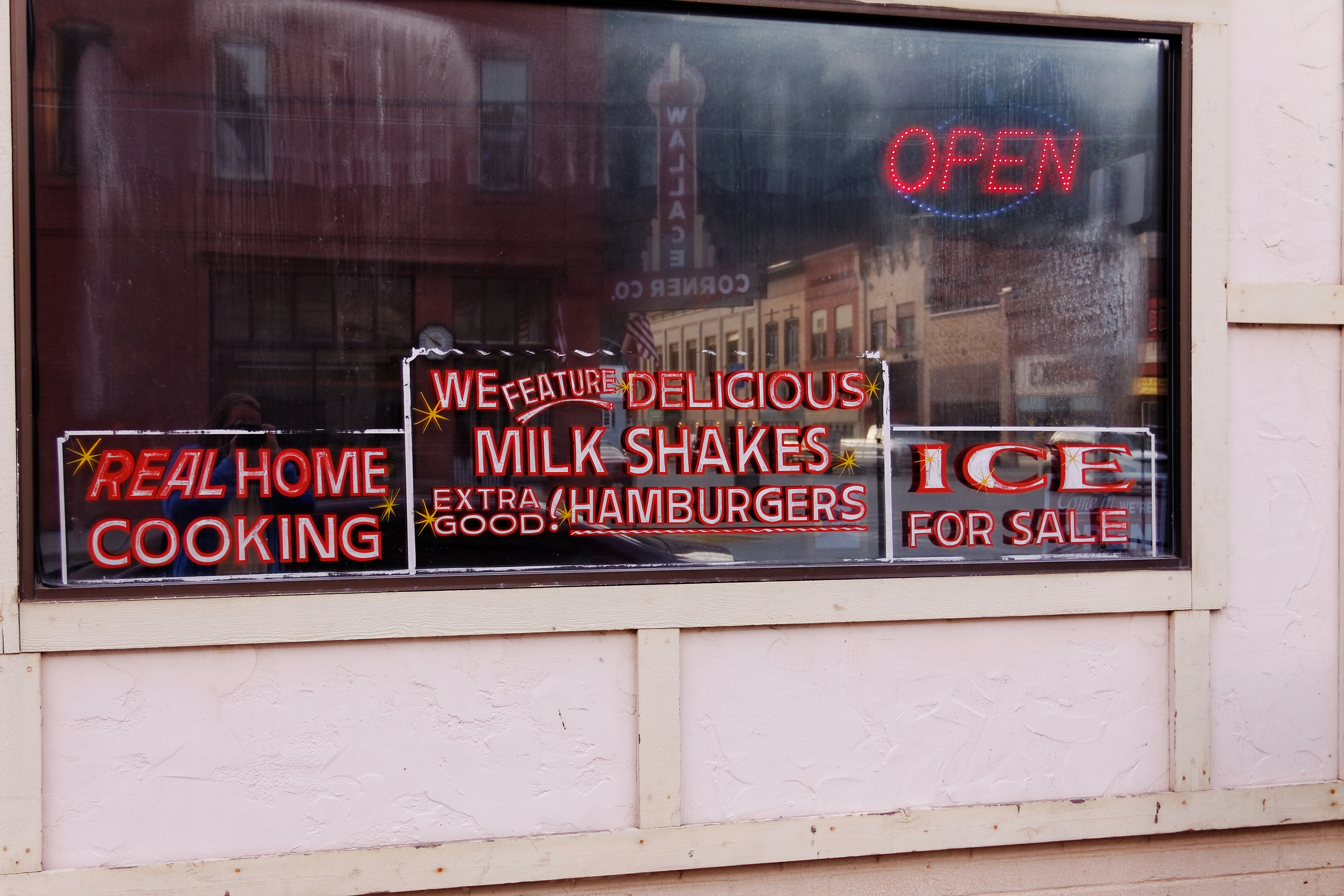
Side View of the Silver Corner Cafe, Wallace, ID
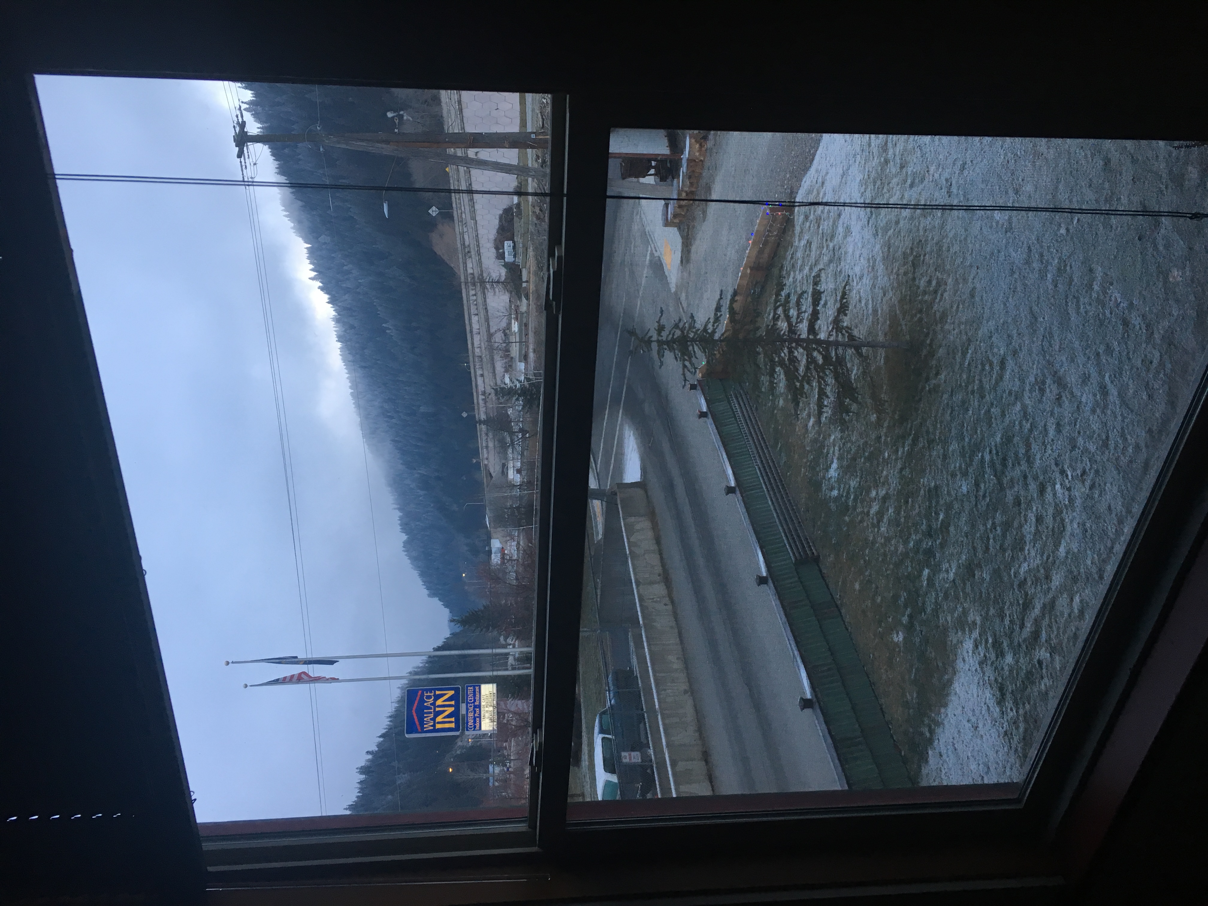
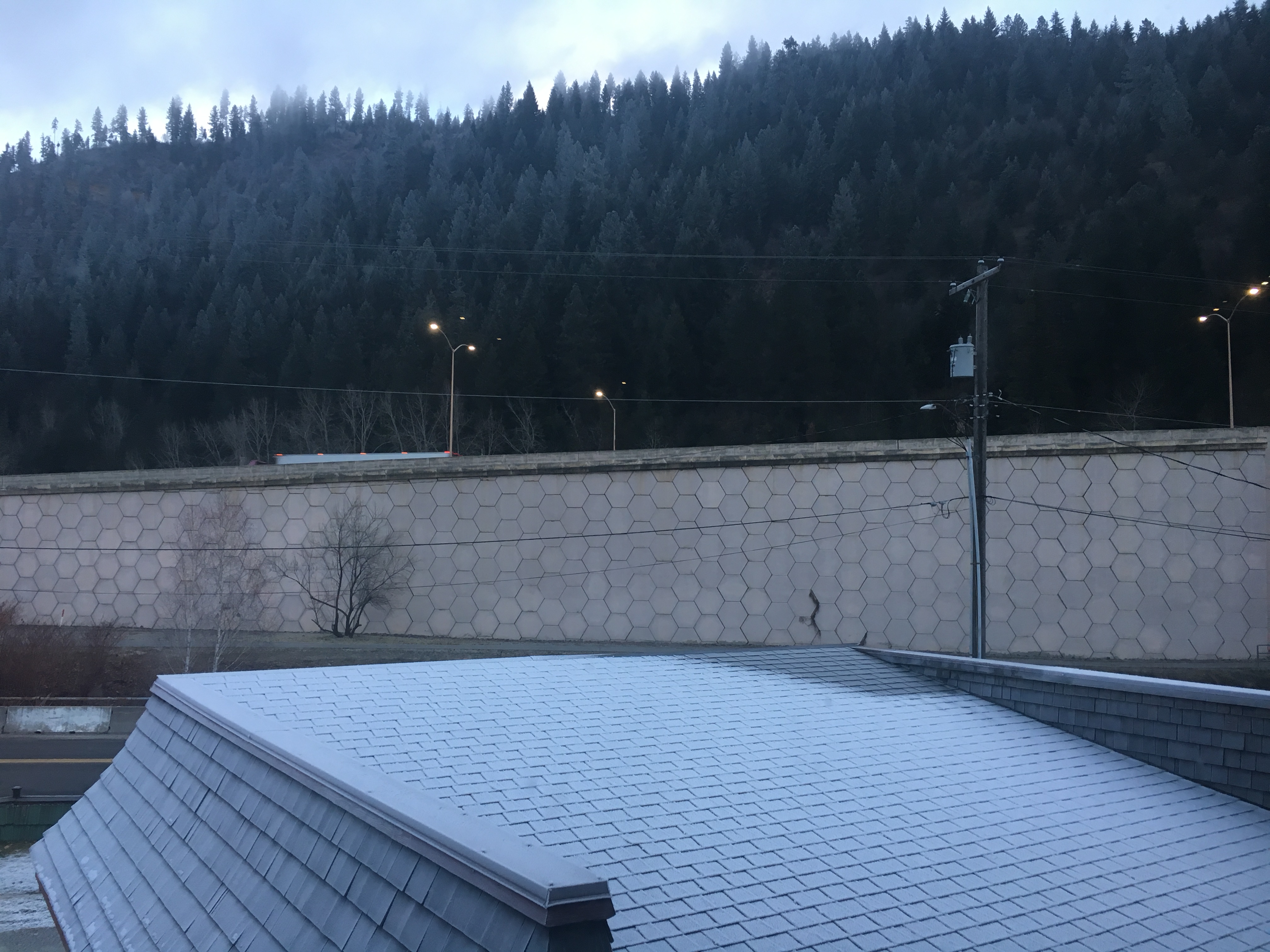
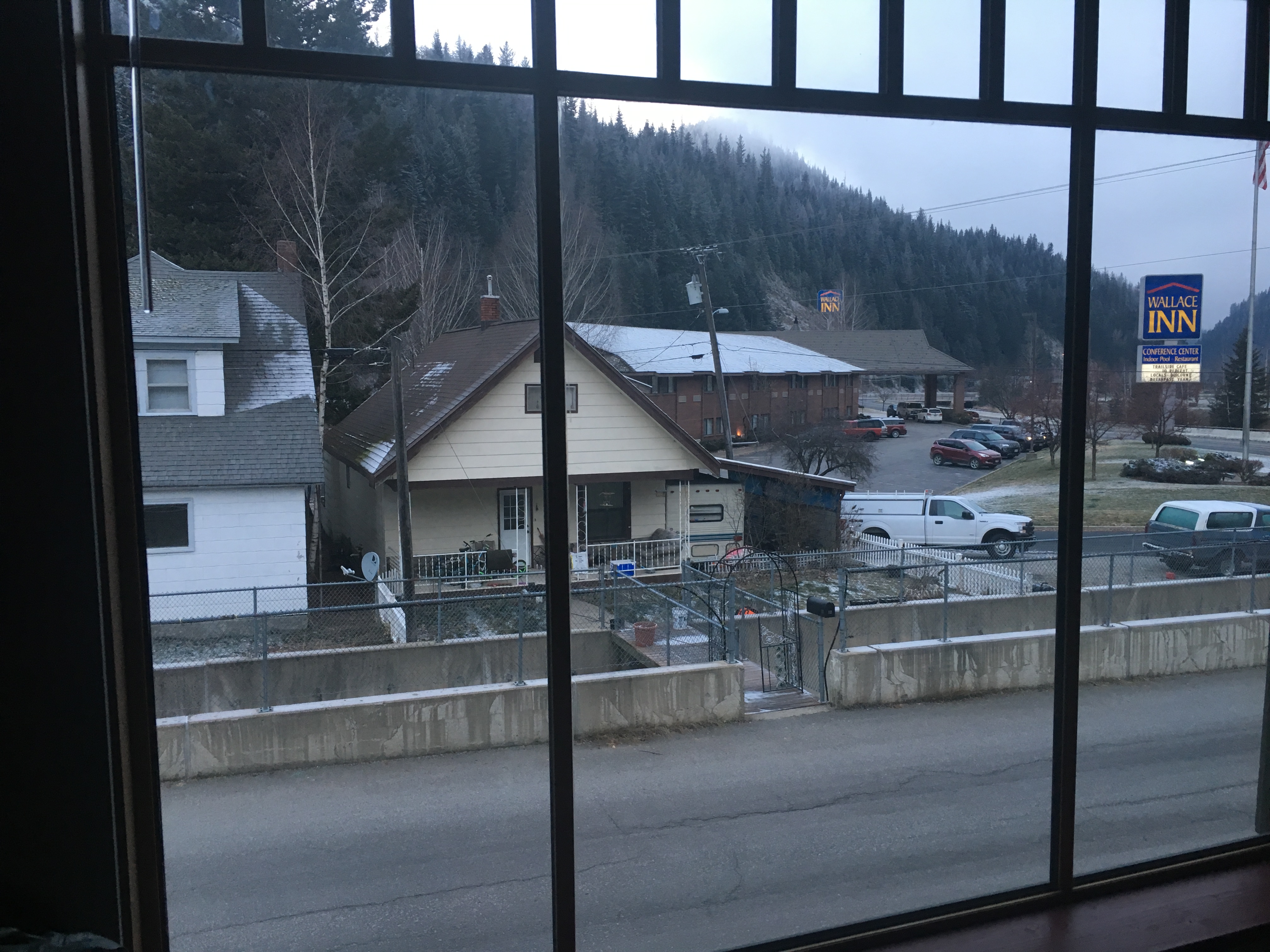
Hotel Room View
05202017-05
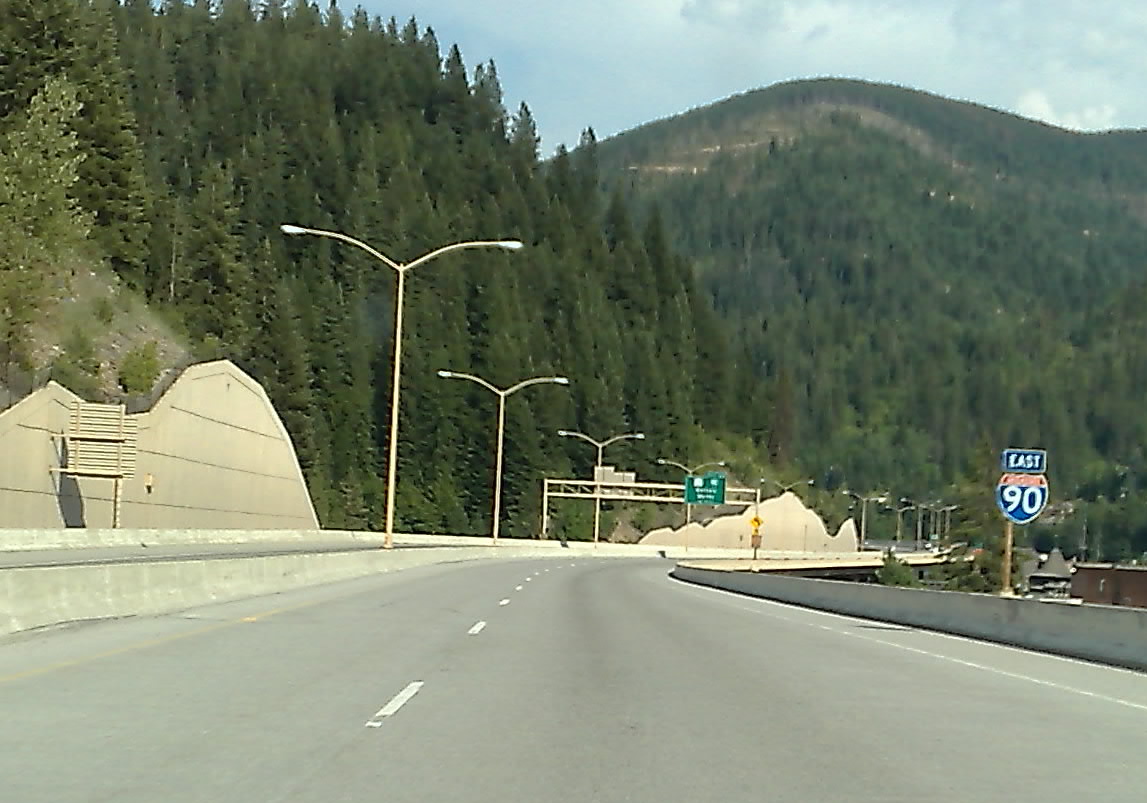
The last stoplight on I-90
Stevens Peak
The Center of the Universe
From the ridge

Sunshine Mine - Jumbo Boom
12102017-01

091003_031-View near Nature Trail cache
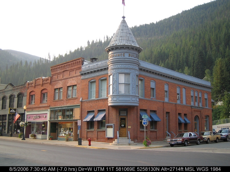
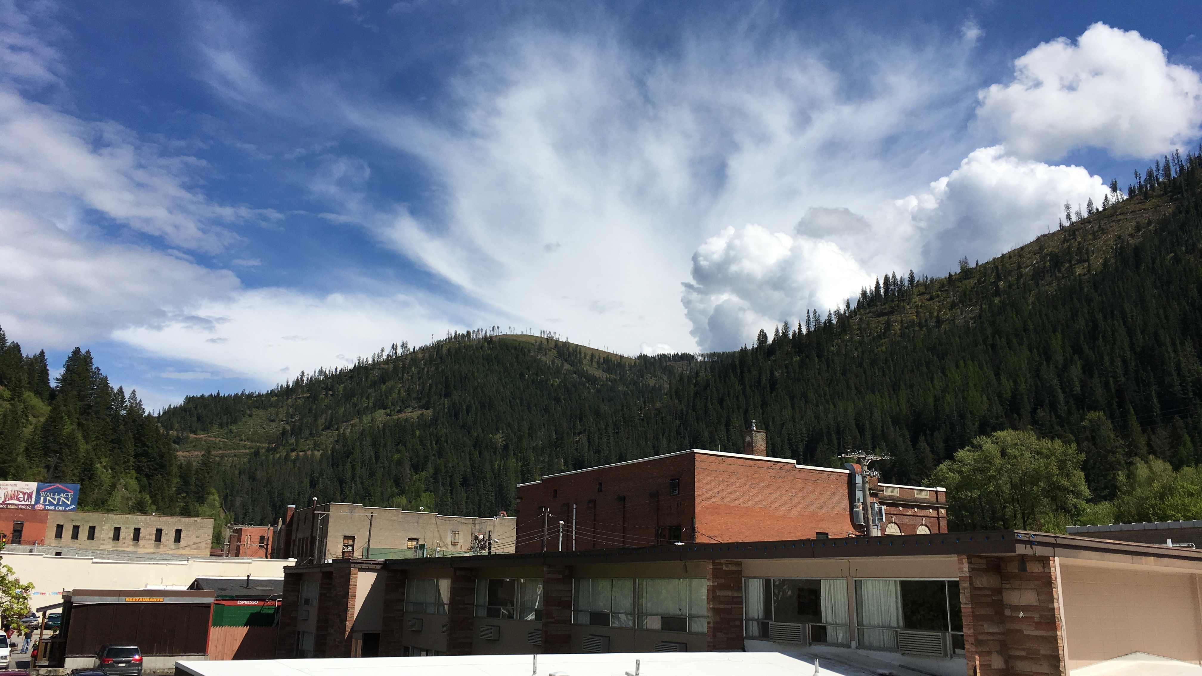
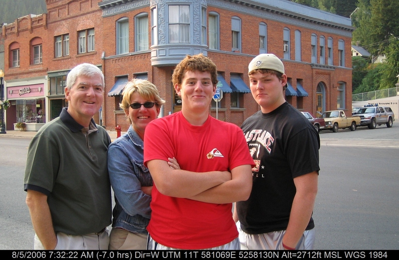
Wallace, ID

Montana 2003 Honeymoon 002
12102017-04
Wallace again from up top this time
Greetings from Papa's Hometown
12102017-02
12102017-03
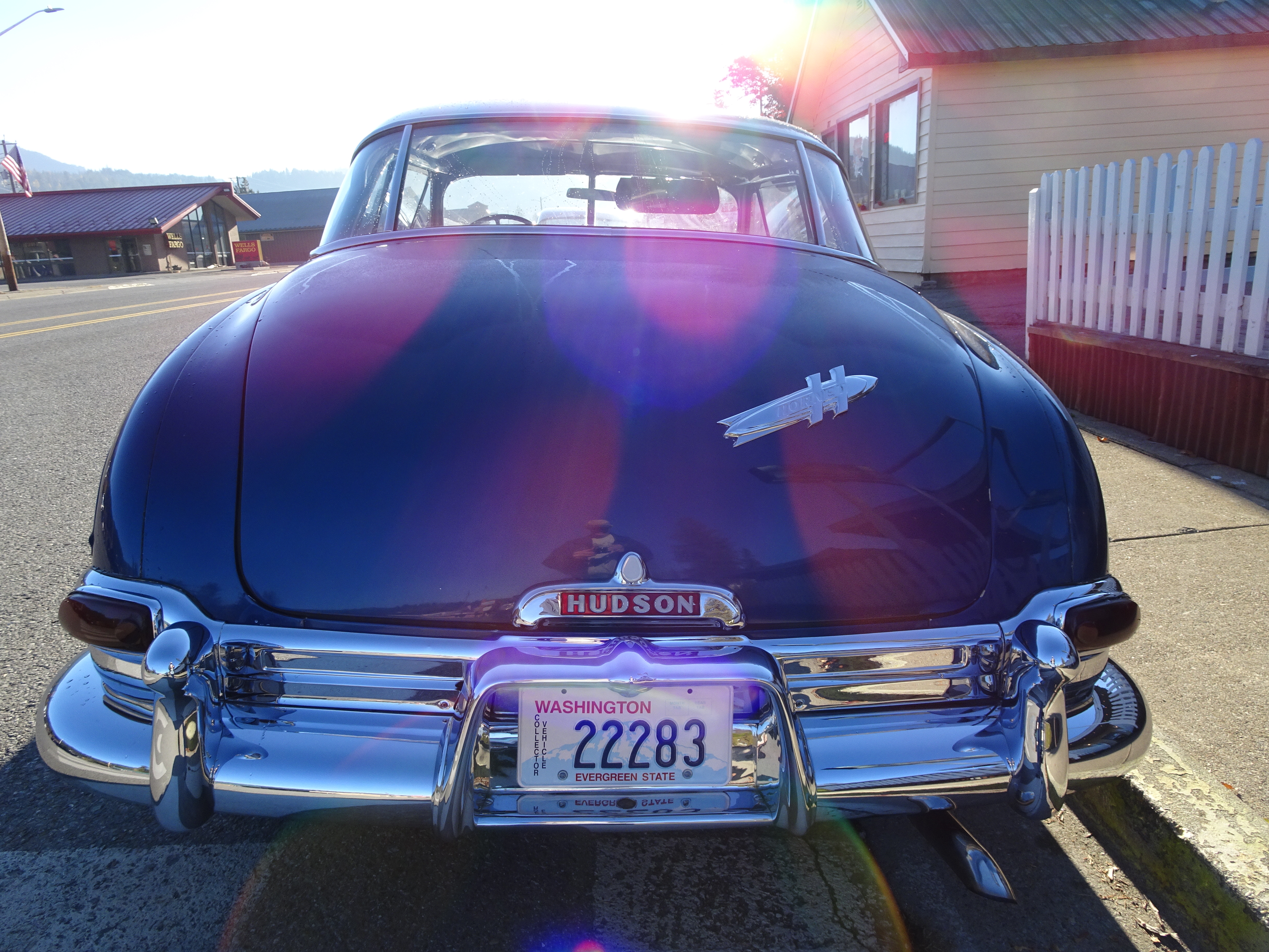
1951 Hudson in the Sun
12102016-10
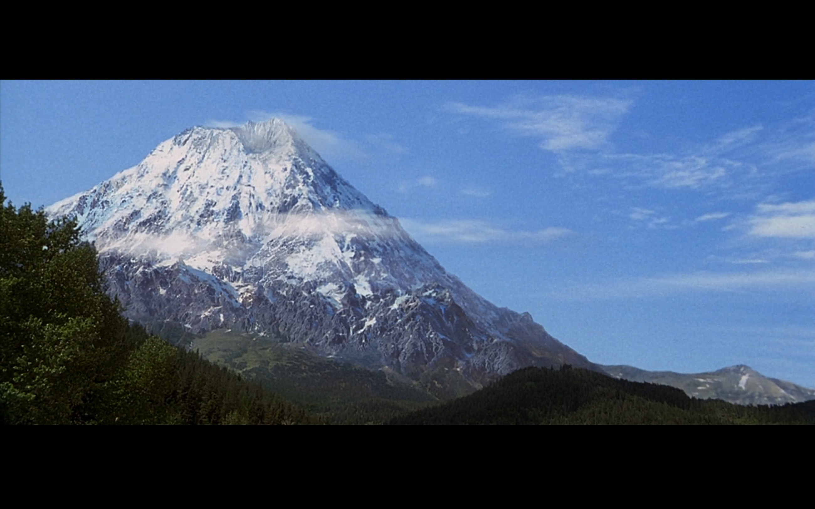
Dante's Peak Filming Locations - Wallace, Idaho
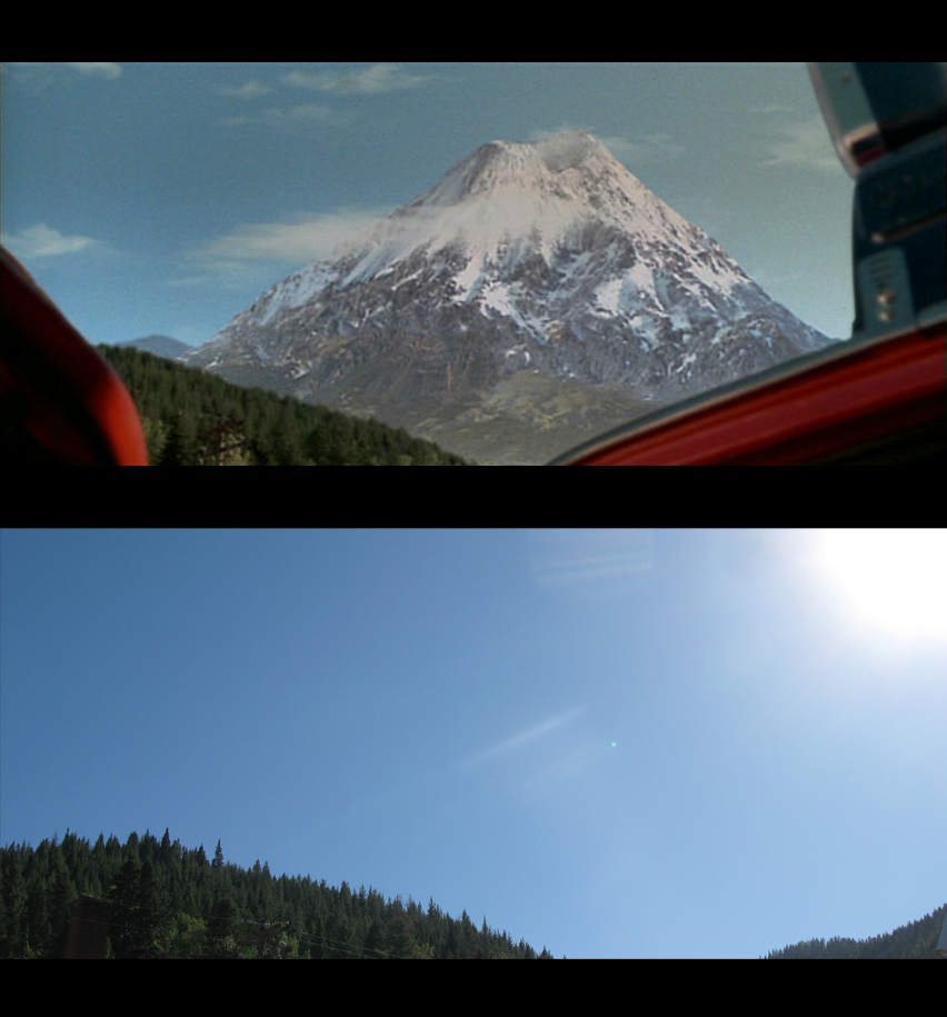
Dante's Peak Filming Locations - The Motel - Wallace, Idaho

Rich Landers on top of Stevens Peak, Idaho

Lone Lake from Stevens Peak

Hillside with Elk between Moon Pass and St. Joe Divide on USFS Trail #16
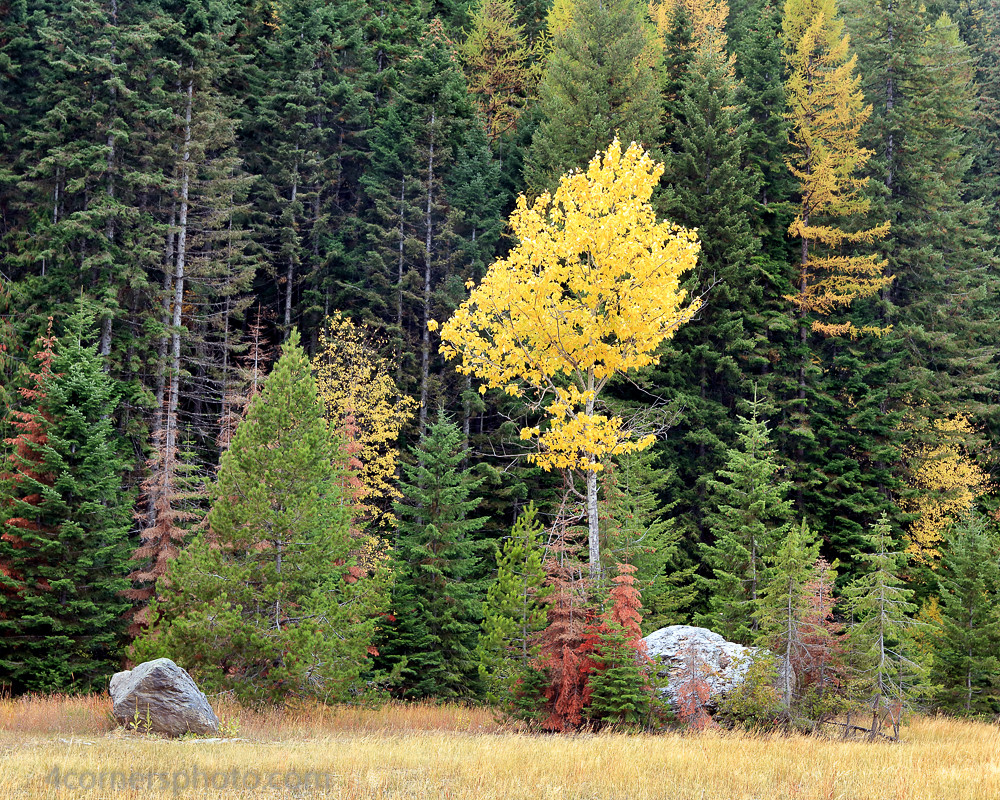
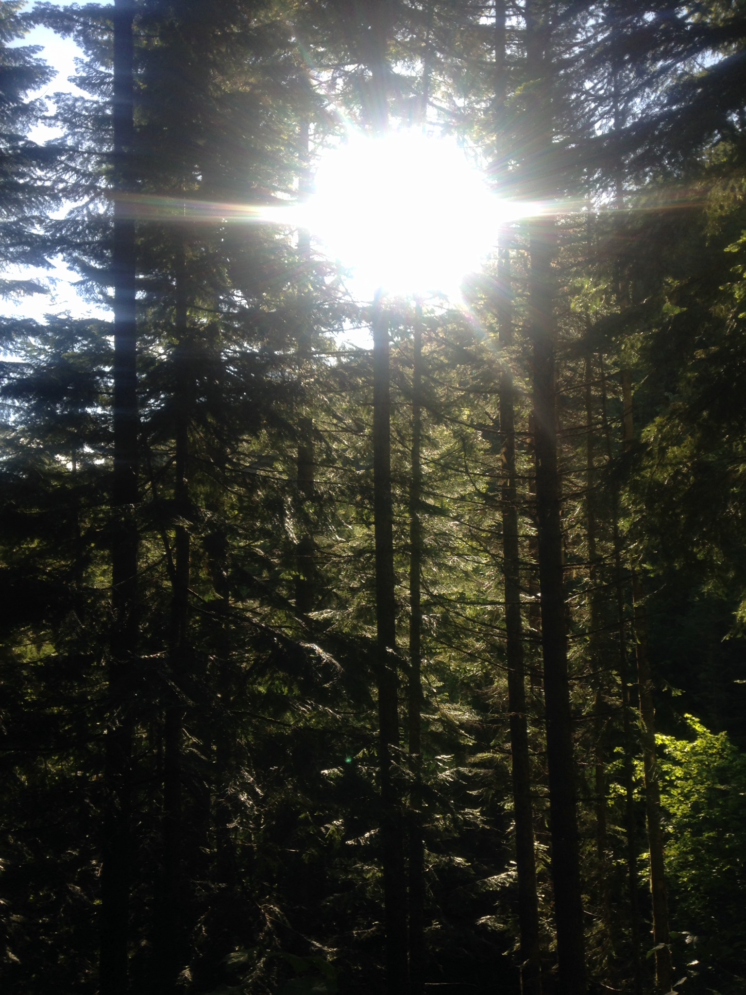
Paper Birch and Forest, Shoshone County, ID

Rich Landers and Scout approaching Stevens Peak, Idaho

Lone Lake from Stevens Peak

Lone Lake and lower Stevens Lake from Stevens Peak

Stevens Peak, Idaho

1938 Flood of the Coeur d'Alene River
Trail Rail 50 Miler
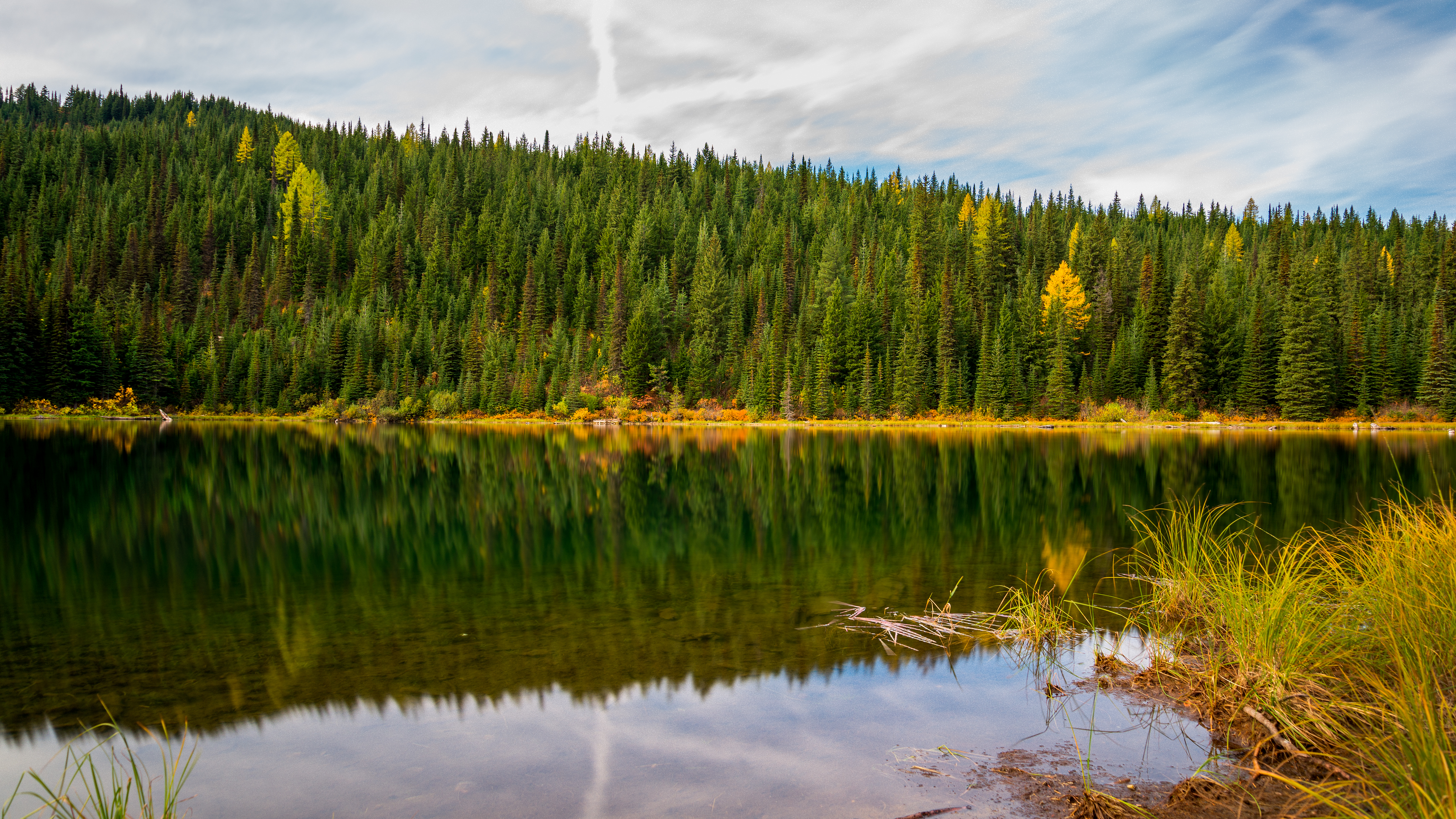
Elsie Lake, Idaho, USA

Approaching Stevens Peak on USFS Trail #16

Stevens Peak, Idaho

Blossom Lakes, Montana

Stevens Lakes from Stevens Peak, Idaho

USFS Trail #16 looking towards Stevens Peak

Stateline Trail #7 Idaho/Montana Border near Burke, Idaho

Looking down towards Mullan, Idaho from Lone Lake Trail
Topographic Map of King St, Wallace, ID, USA
Find elevation by address:

Places near King St, Wallace, ID, USA:
Wallace
Burke Road
419 Burke Rd
843 Burke Rd
29 Meadow St
62713 Benthams Rd
Placer Creek Road
Golconda Rd, Wallace, ID, USA
Mullan
870 Moon Gulch Rd
602 Earle St
Wallace, ID, USA
Kellogg
Bunker Hill Tailings Number One Dam
Lookout Pass
Lookout Pass
100-106
Avery
Milwaukee Rd, Avery, ID, USA
Smelterville
Recent Searches:
- Elevation of Norfolk, NY, USA
- Elevation of - San Marcos Pass Rd, Santa Barbara, CA, USA
- Elevation of th Pl SE, Issaquah, WA, USA
- Elevation of 82- D Rd, Captain Cook, HI, USA
- Elevation of Harlow CM20 2PR, UK
- Elevation of Shenyang Agricultural University, Dong Ling Lu, Shen He Qu, Shen Yang Shi, Liao Ning Sheng, China
- Elevation of Alpha Dr, Melbourne, FL, USA
- Elevation of Hiroshima University, 1-chōme-3-2 Kagamiyama, Higashihiroshima, Hiroshima -, Japan
- Elevation of Bernina Dr, Lake Arrowhead, CA, USA
- Elevation of N 82nd Pl, Mesa, AZ, USA