Elevation of Hoyt Lakes, MN, USA
Location: United States > Minnesota > St. Louis County >
Longitude: -92.138507
Latitude: 47.5196465
Elevation: 448m / 1470feet
Barometric Pressure: 96KPa
Elevation Map:
Satellite Map:
Related Photos:
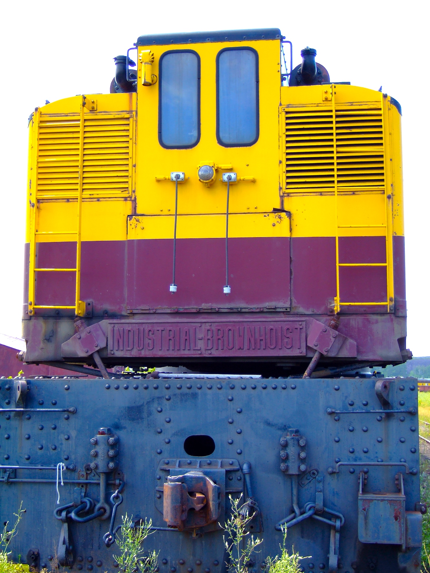
Industrial-Brownhoist
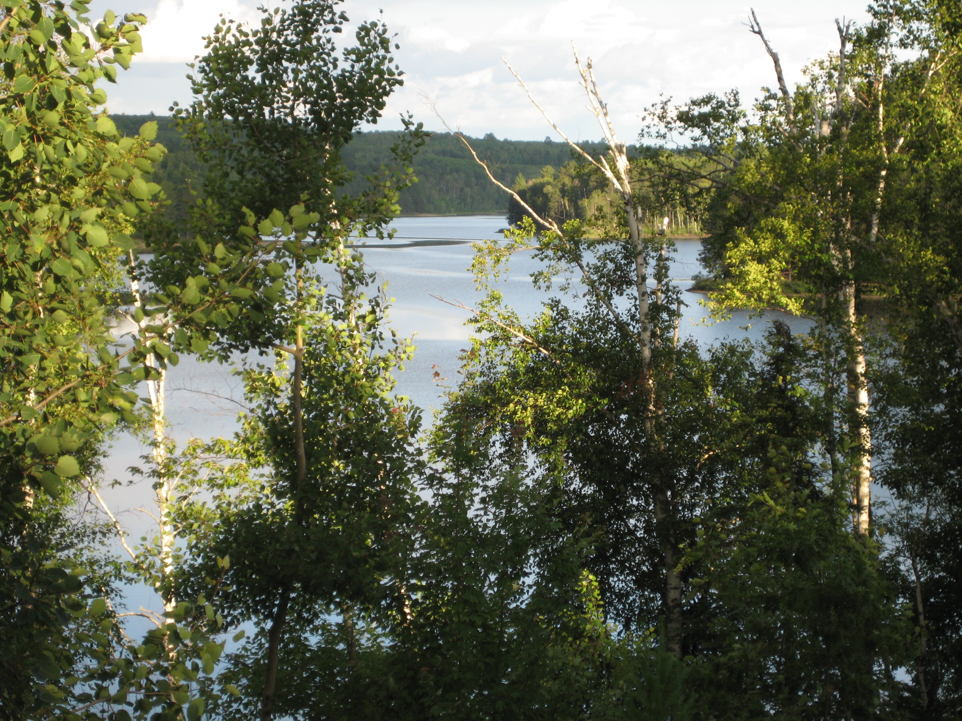
View from the Villa

LTV Taconite Pelletizing Plant, with railfans

Take Me to the River
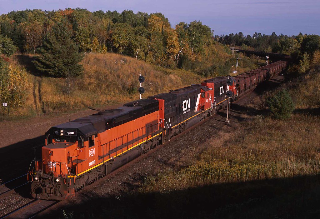
B&LE #900 Biwabik, Minnesota

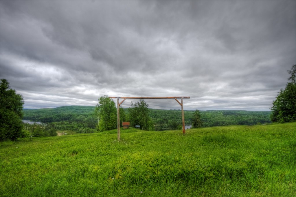
giants ridge hdr3

Still Waters

Sauna Road 9-20-09 iPhone pic
giants ridge hdr

Sauna Road 9-20-09 iPhone Pic
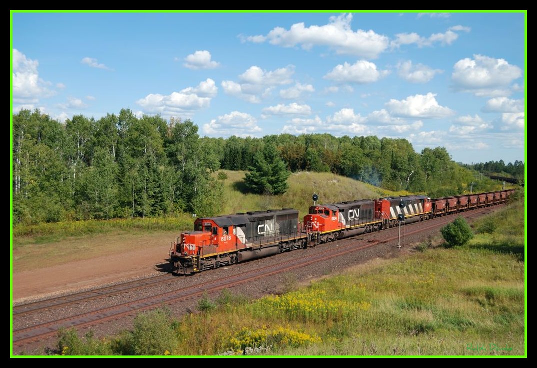
CN/DMIR

The Hill around the Mine

Shiver Creek Reflection
Topographic Map of Hoyt Lakes, MN, USA
Find elevation by address:

Places in Hoyt Lakes, MN, USA:
Places near Hoyt Lakes, MN, USA:
Allen Junction Rd, Hoyt Lakes, MN, USA
N Main St, Aurora, MN, USA
Aurora
White Township
Waisanen Rd, Embarrass, MN, USA
Embarrass
Ryan St, Aurora, MN, USA
7196 Dallas Rd
Forest Road c, Hoyt Lakes, MN, USA
Embarrass Township
Main St, Biwabik, MN, USA
Biwabik
Colvin Township
Vermilion Trail, Makinen, MN, USA
Town Line Rd, Brimson, MN, USA
Kugler Township
8760 Mn-135
Babbitt
Bassett Township
Grand Ave, McKinley, MN, USA
Recent Searches:
- Elevation of Corso Fratelli Cairoli, 35, Macerata MC, Italy
- Elevation of Tallevast Rd, Sarasota, FL, USA
- Elevation of 4th St E, Sonoma, CA, USA
- Elevation of Black Hollow Rd, Pennsdale, PA, USA
- Elevation of Oakland Ave, Williamsport, PA, USA
- Elevation of Pedrógão Grande, Portugal
- Elevation of Klee Dr, Martinsburg, WV, USA
- Elevation of Via Roma, Pieranica CR, Italy
- Elevation of Tavkvetili Mountain, Georgia
- Elevation of Hartfords Bluff Cir, Mt Pleasant, SC, USA