Elevation of Aurora, MN, USA
Location: United States > Minnesota > St. Louis County > White Township >
Longitude: -92.237120
Latitude: 47.5299252
Elevation: 452m / 1483feet
Barometric Pressure: 96KPa
Elevation Map:
Satellite Map:
Related Photos:
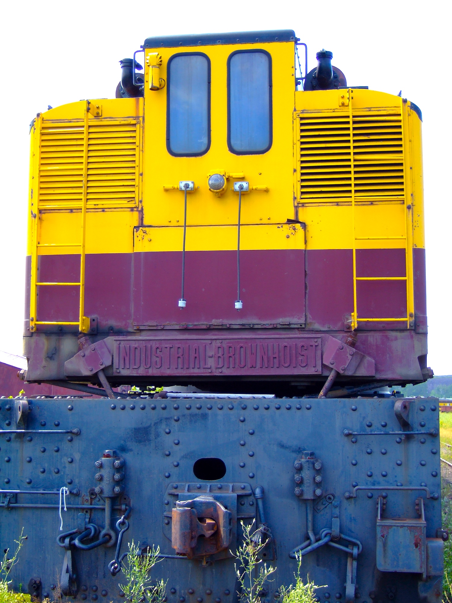
Industrial-Brownhoist
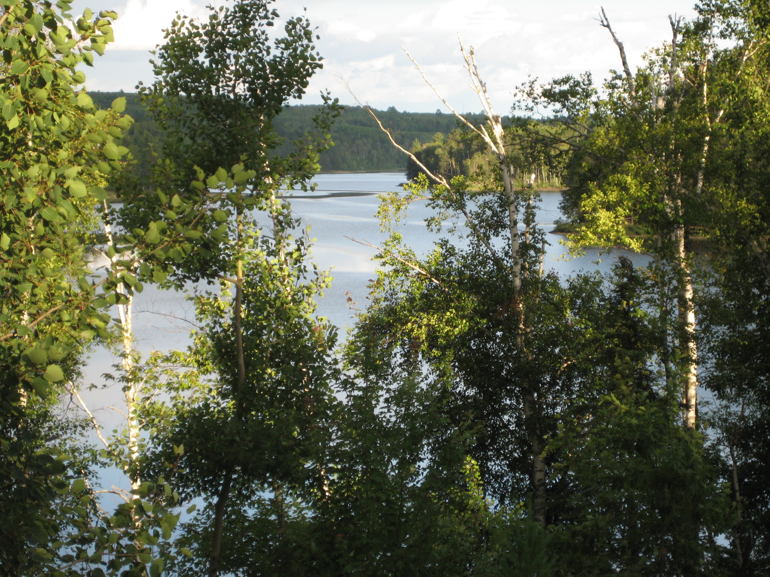
View from the Villa
Chase Worthy
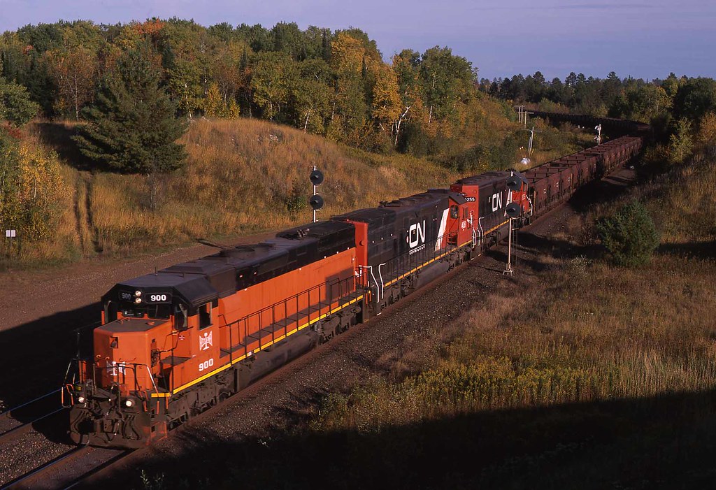
B&LE #900 Biwabik, Minnesota

Take Me to the River

giants ridge hdr3

Still Waters

Sauna Road -Embarrass, MN ~ Beautiful country!

Sauna Road 9-20-09 iPhone pic

Sauna Road 9-20-09 iPhone Pic

LTV Taconite Pelletizing Plant, with railfans
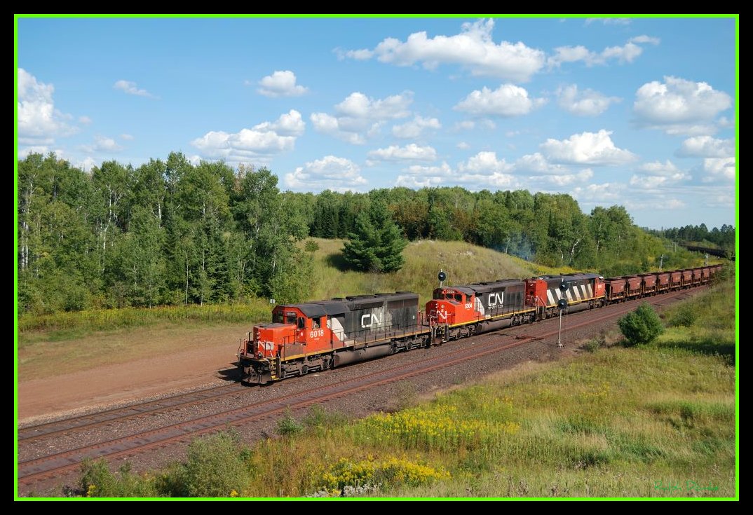
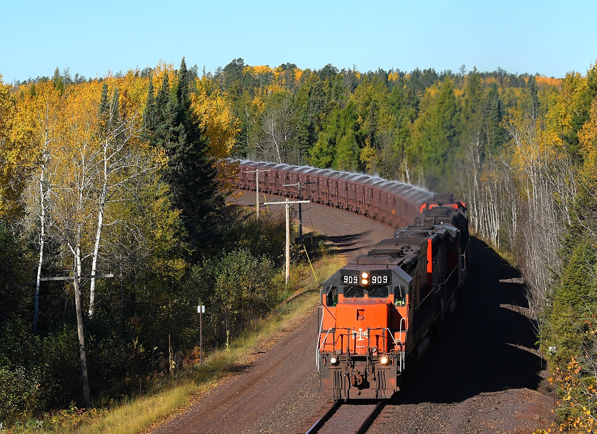
CN/DMIR

The Hill around the Mine
Topographic Map of Aurora, MN, USA
Find elevation by address:

Places in Aurora, MN, USA:
Places near Aurora, MN, USA:
N Main St, Aurora, MN, USA
White Township
Ryan St, Aurora, MN, USA
Hoyt Lakes
Main St, Biwabik, MN, USA
Biwabik
7196 Dallas Rd
Waisanen Rd, Embarrass, MN, USA
Embarrass
Allen Junction Rd, Hoyt Lakes, MN, USA
Embarrass Township
Grand Ave, McKinley, MN, USA
Colvin Township
Wilson Rd, Makinen, MN, USA
8760 Mn-135
Vermilion Trail, Makinen, MN, USA
Broadway, Gilbert, MN, USA
Gilbert
Kugler Township
St. Louis County
Recent Searches:
- Elevation of Fern Rd, Whitmore, CA, USA
- Elevation of 62 Abbey St, Marshfield, MA, USA
- Elevation of Fernwood, Bradenton, FL, USA
- Elevation of Felindre, Swansea SA5 7LU, UK
- Elevation of Leyte Industrial Development Estate, Isabel, Leyte, Philippines
- Elevation of W Granada St, Tampa, FL, USA
- Elevation of Pykes Down, Ivybridge PL21 0BY, UK
- Elevation of Jalan Senandin, Lutong, Miri, Sarawak, Malaysia
- Elevation of Bilohirs'k
- Elevation of 30 Oak Lawn Dr, Barkhamsted, CT, USA