Elevation of Ryan St, Aurora, MN, USA
Location: United States > Minnesota > St. Louis County > White Township > Aurora >
Longitude: -92.293805
Latitude: 47.536049
Elevation: 437m / 1434feet
Barometric Pressure: 96KPa
Elevation Map:
Satellite Map:
Related Photos:

Inside the Sound Booth
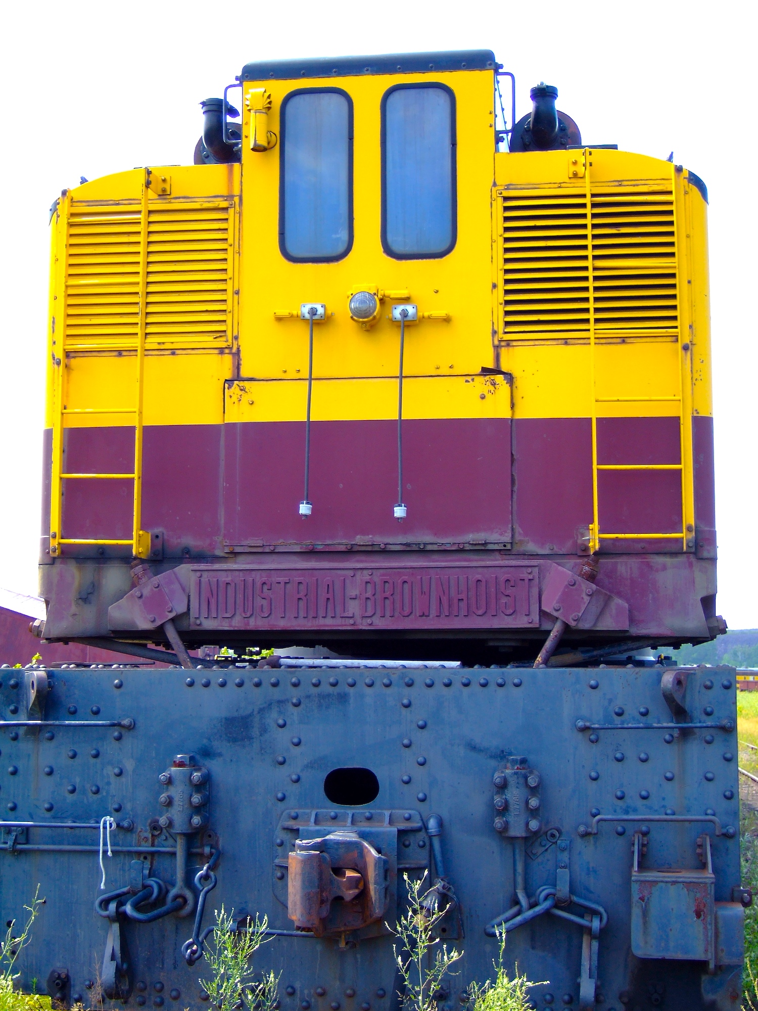
Industrial-Brownhoist
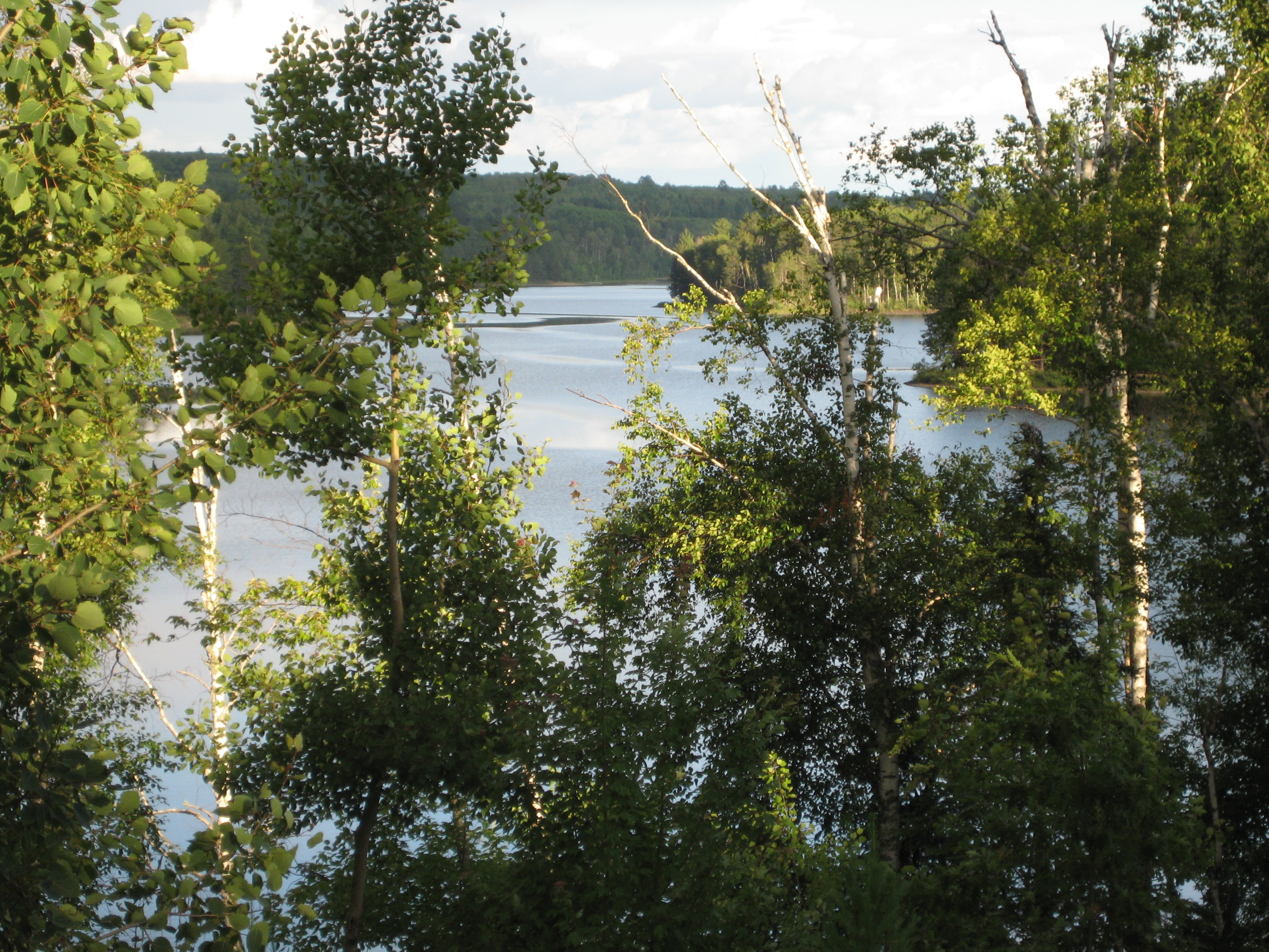
View from the Villa
Chase Worthy
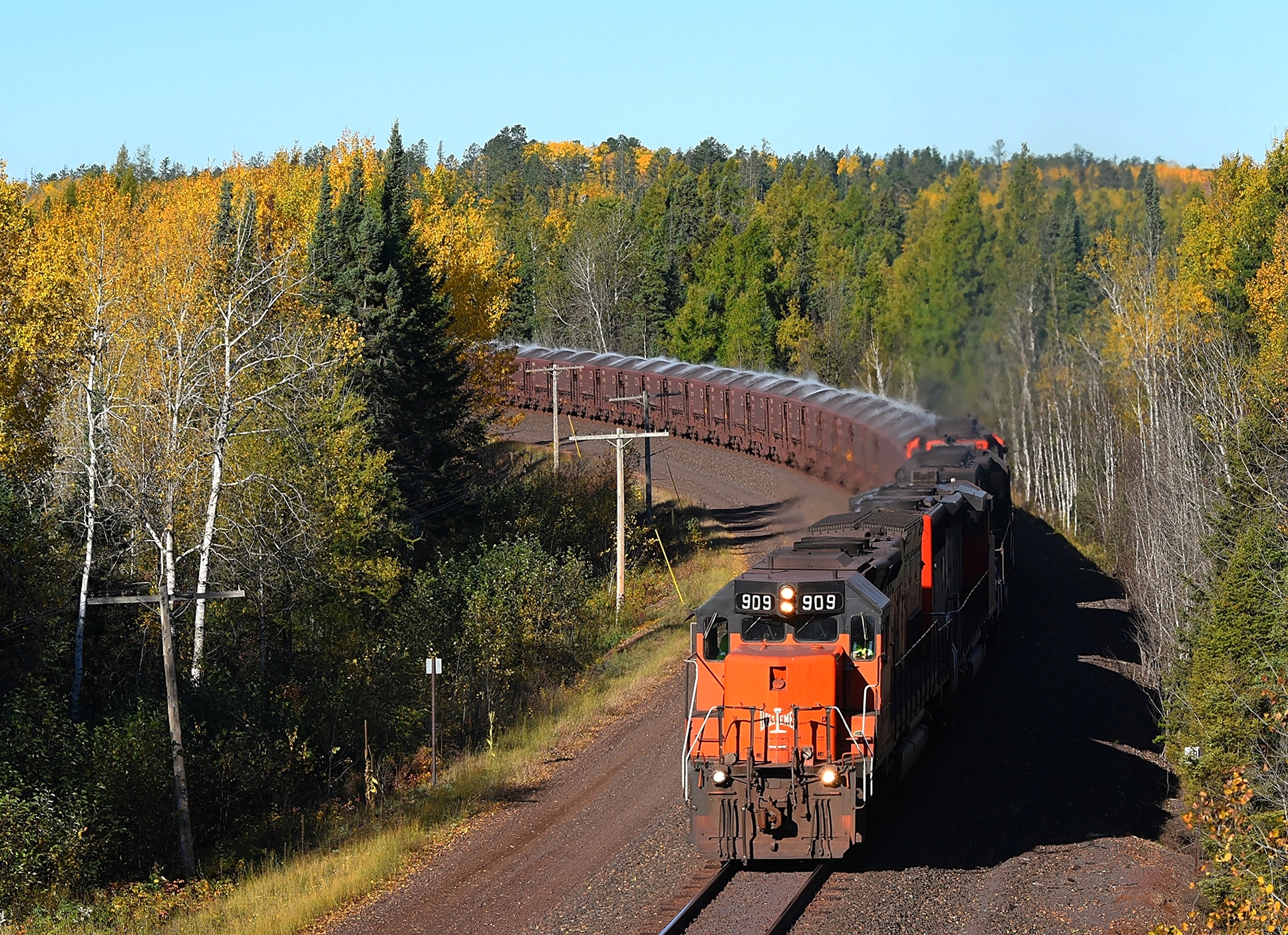
Last of the Missabe 400s

Take Me to the River
B&LE #900 Biwabik, Minnesota

giants ridge hdr3

Still Waters

Sauna Road -Embarrass, MN ~ Beautiful country!

Sauna Road 9-20-09 iPhone pic

Sauna Road 9-20-09 iPhone Pic

LTV Taconite Pelletizing Plant, with railfans
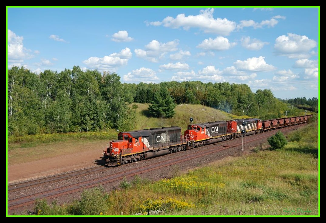
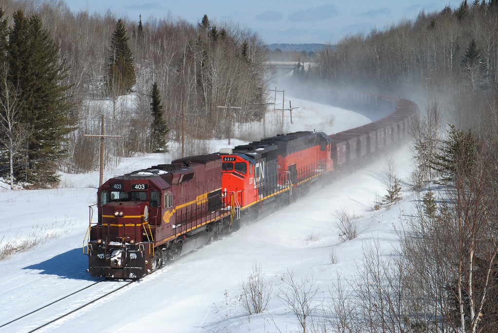
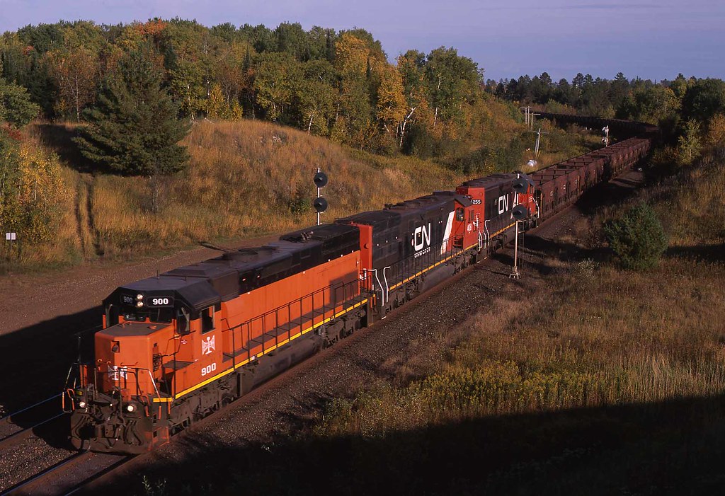
CN/DMIR

The Hill around the Mine
Topographic Map of Ryan St, Aurora, MN, USA
Find elevation by address:

Places near Ryan St, Aurora, MN, USA:
Main St, Biwabik, MN, USA
Biwabik
Aurora
N Main St, Aurora, MN, USA
White Township
7196 Dallas Rd
Grand Ave, McKinley, MN, USA
Embarrass Township
Waisanen Rd, Embarrass, MN, USA
Embarrass
Hoyt Lakes
Broadway, Gilbert, MN, USA
Gilbert
Wilson Rd, Makinen, MN, USA
Allen Junction Rd, Hoyt Lakes, MN, USA
8760 Mn-135
St. Louis County
Wuori Township
Colvin Township
Kugler Township
Recent Searches:
- Elevation of Gateway Blvd SE, Canton, OH, USA
- Elevation of East W.T. Harris Boulevard, E W.T. Harris Blvd, Charlotte, NC, USA
- Elevation of West Sugar Creek, Charlotte, NC, USA
- Elevation of Wayland, NY, USA
- Elevation of Steadfast Ct, Daphne, AL, USA
- Elevation of Lagasgasan, X+CQH, Tiaong, Quezon, Philippines
- Elevation of Rojo Ct, Atascadero, CA, USA
- Elevation of Flagstaff Drive, Flagstaff Dr, North Carolina, USA
- Elevation of Avery Ln, Lakeland, FL, USA
- Elevation of Woolwine, VA, USA