Elevation of Hopper Township, AR, USA
Location: United States > Arkansas > Montgomery County >
Longitude: -93.804483
Latitude: 34.383073
Elevation: 282m / 925feet
Barometric Pressure: 98KPa
Elevation Map:
Satellite Map:
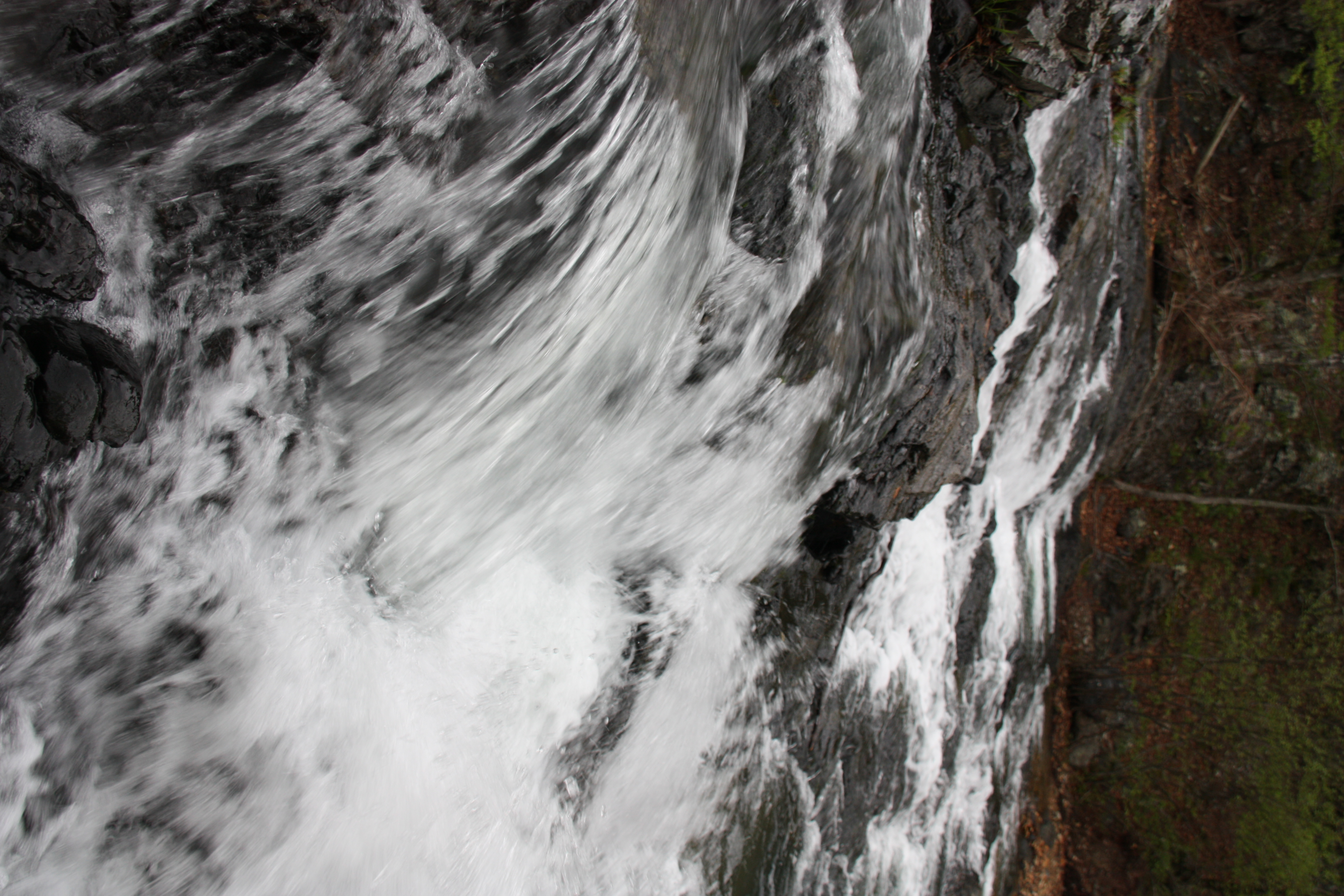
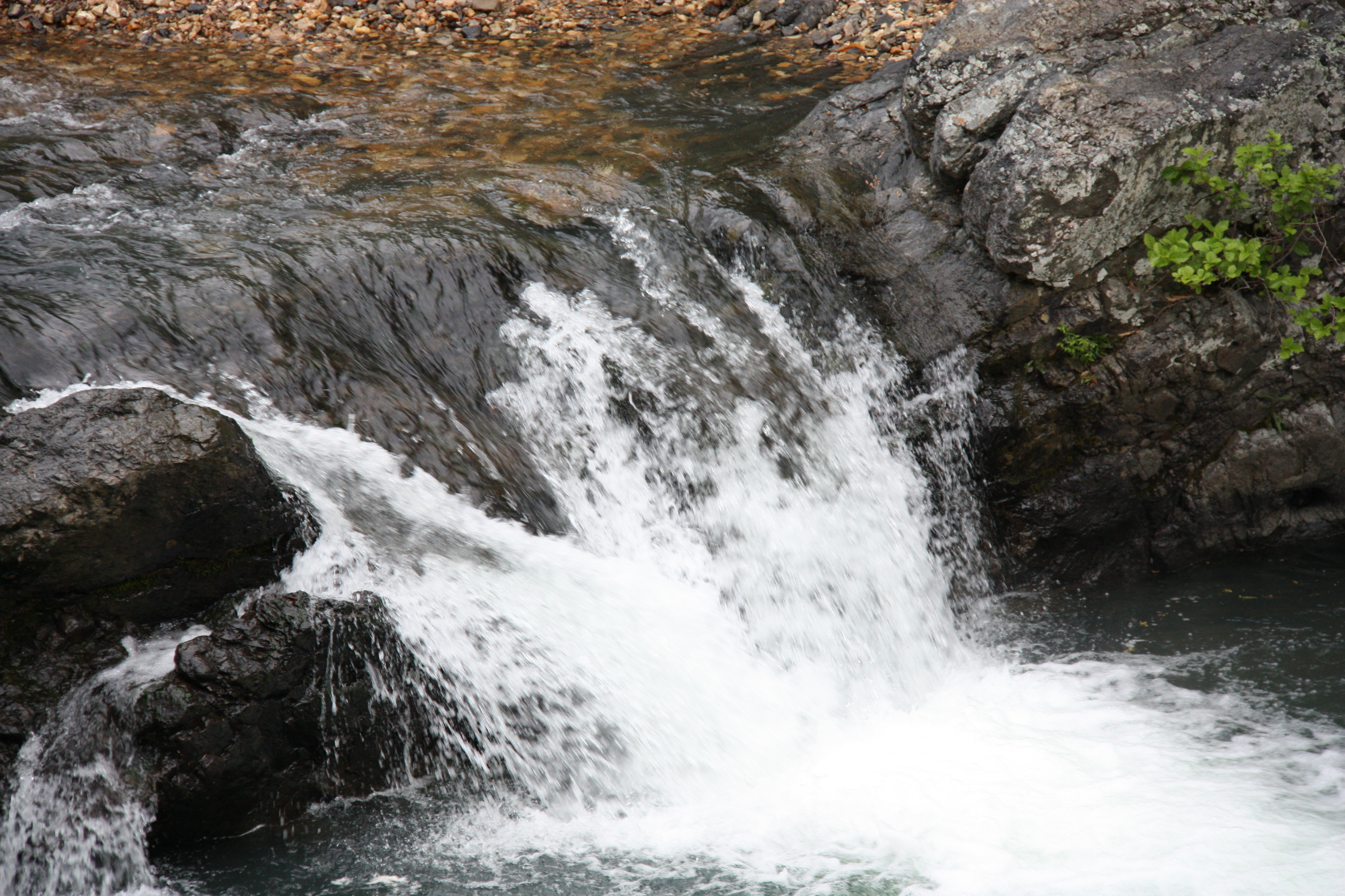
Related Photos:
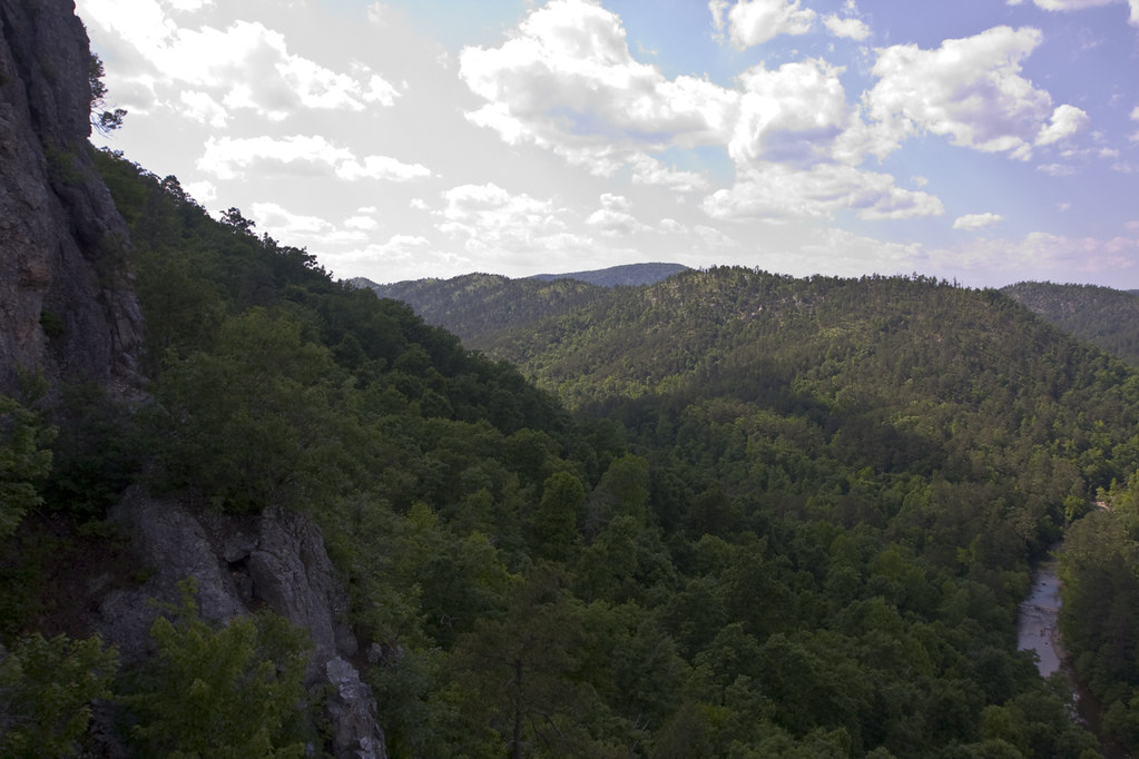
Little Missouri View
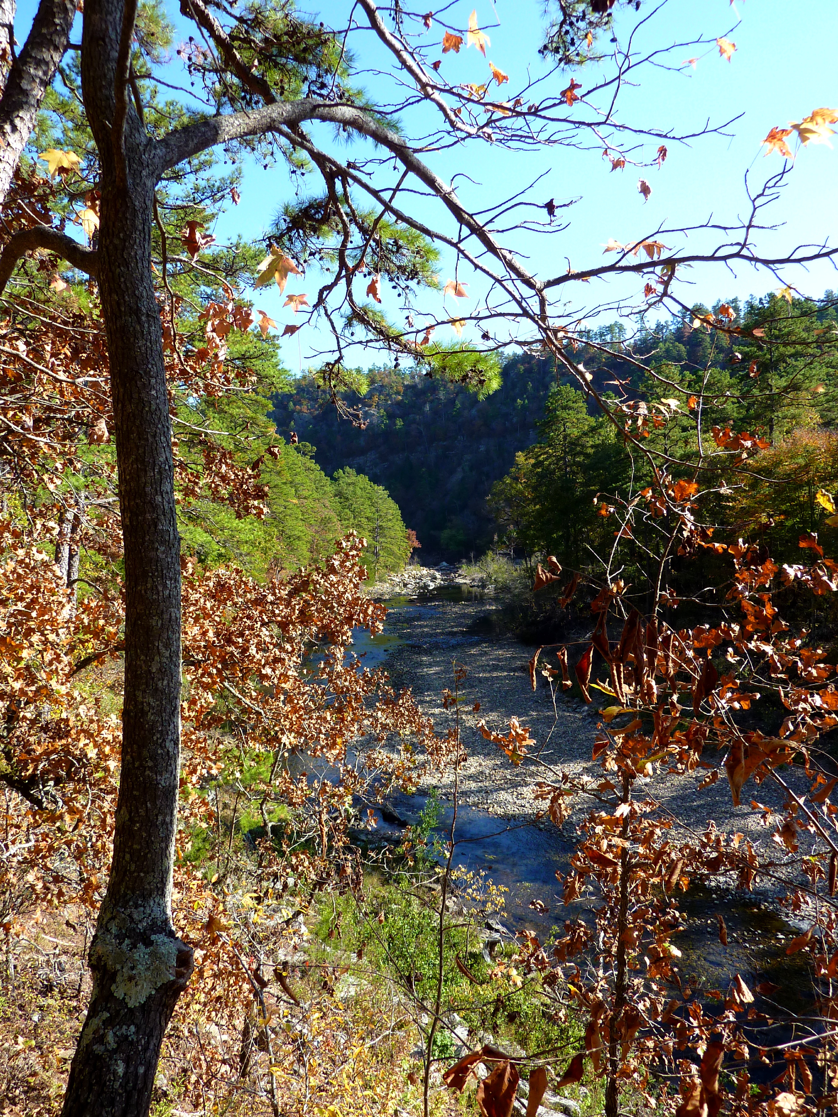
View from the Bluffline Above the Little Missouri
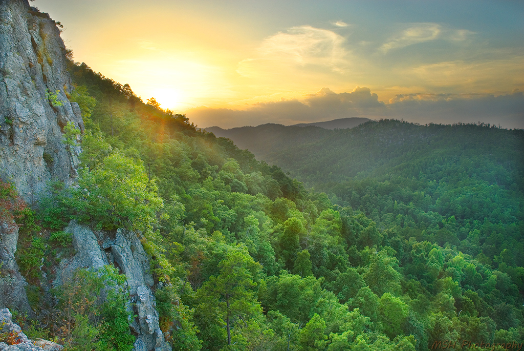
Brush Mountain
View from Window Rock @ Albert Pike State Park - AR

River View
Wide View of Falls
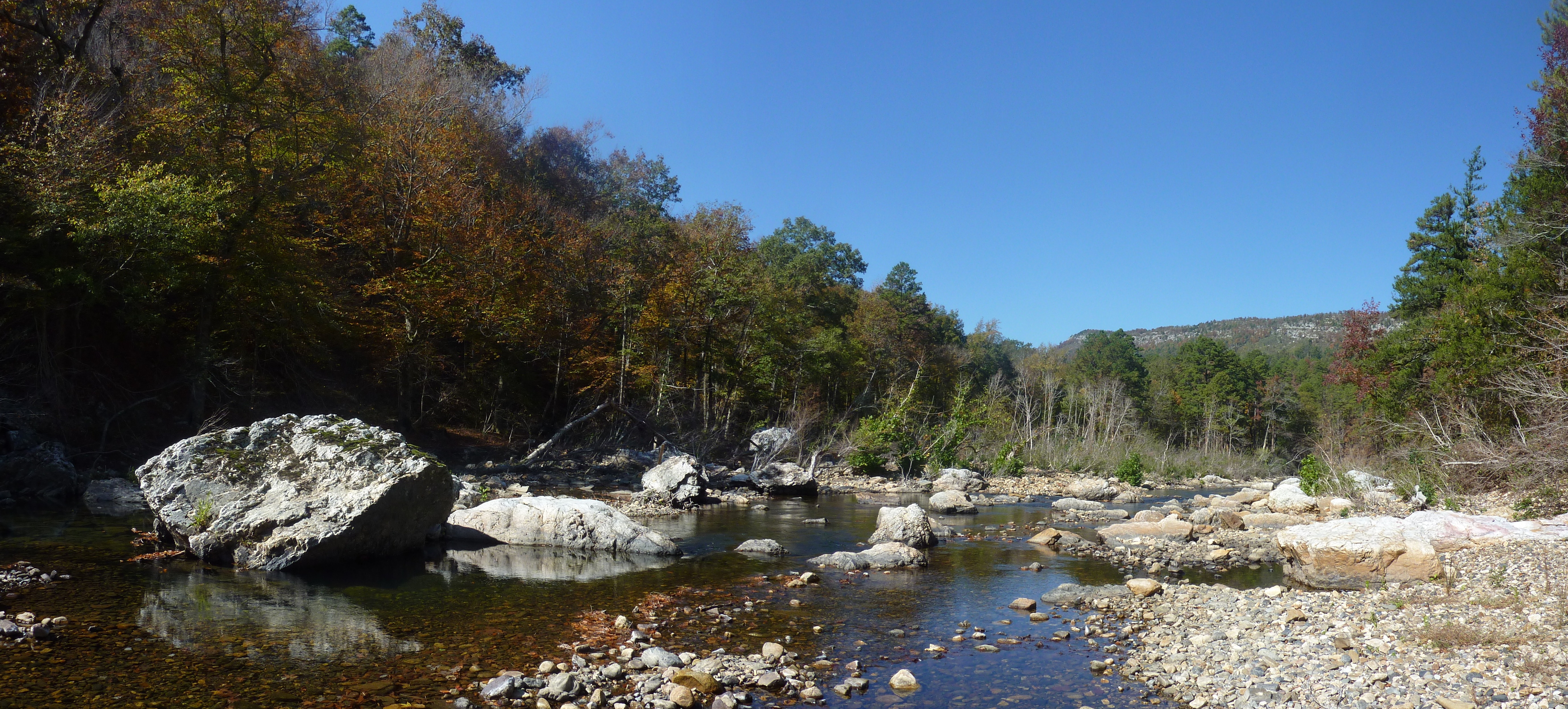
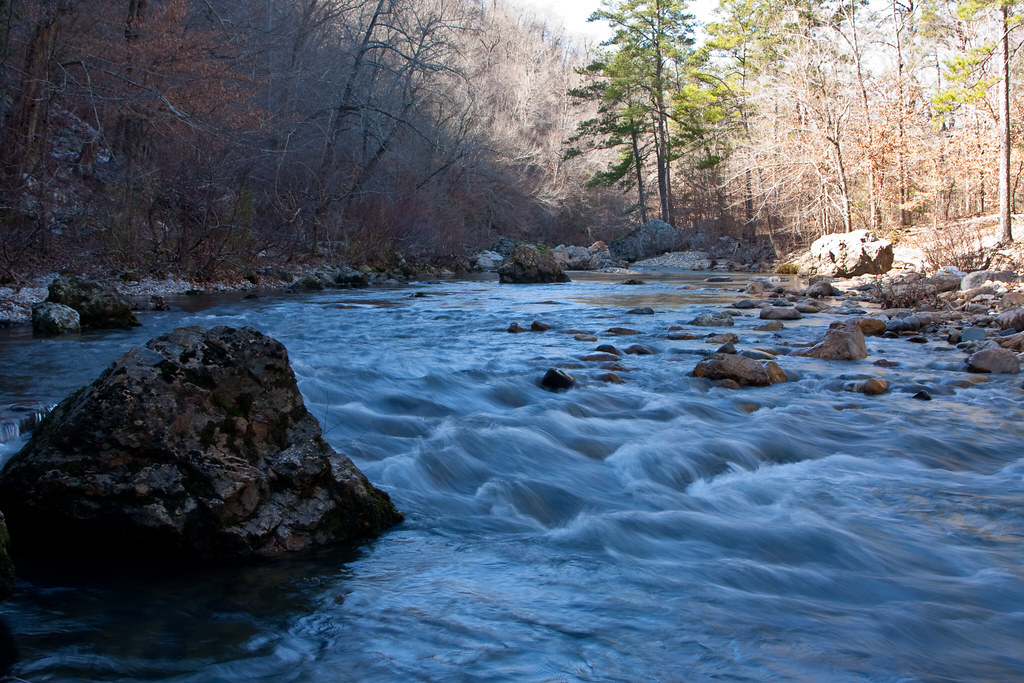
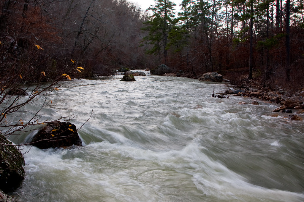
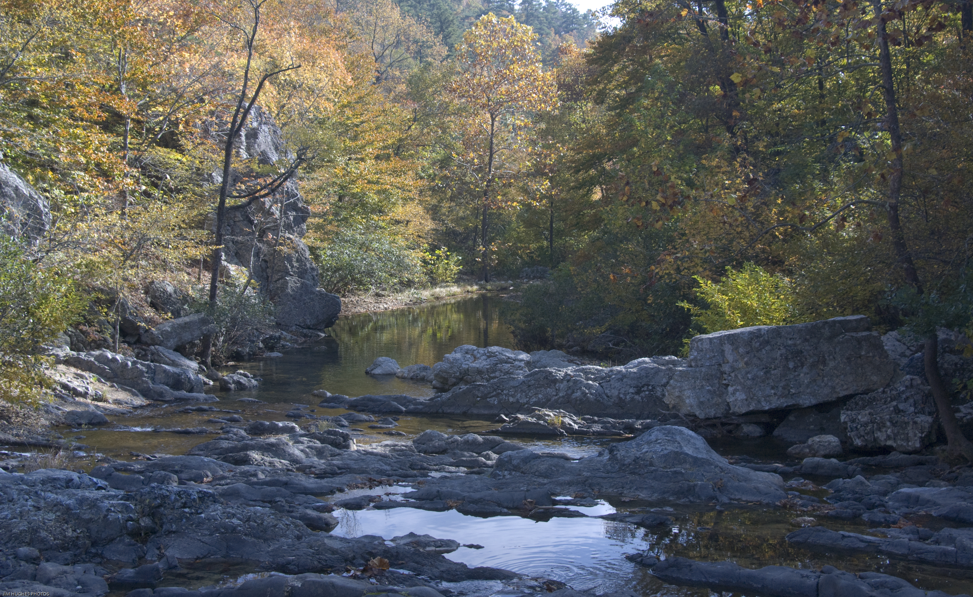
Little Missouri River
Little Missouri Falls View
Little Missouri River at Albert Pike
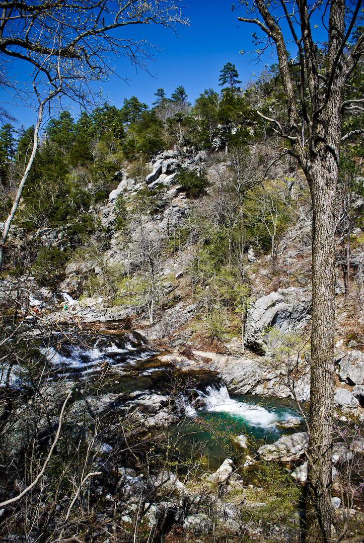
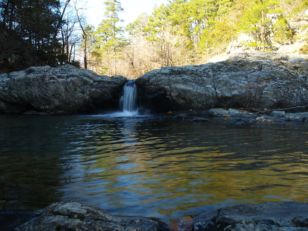
Little Missouri Falls
Icy Cold River
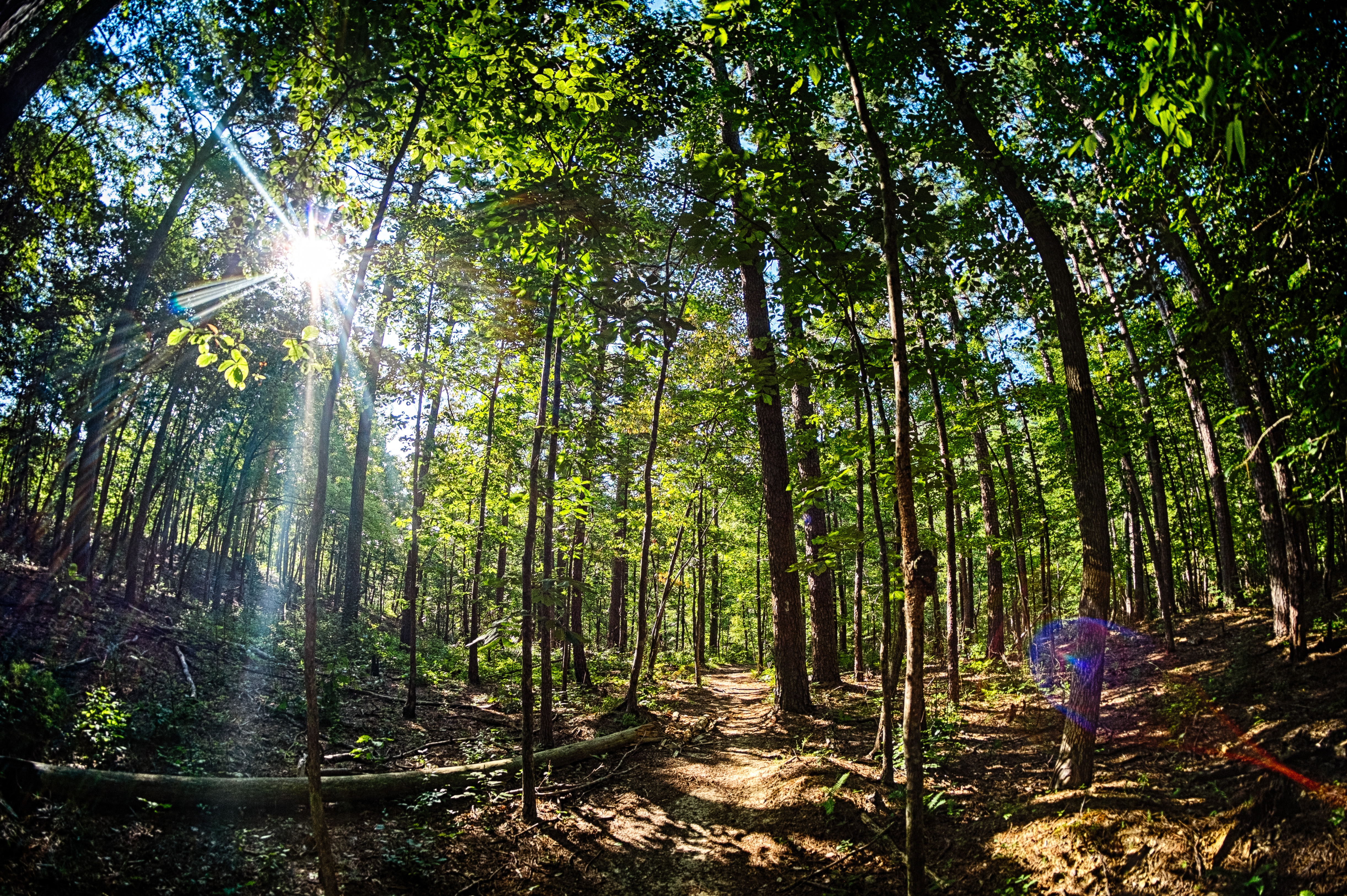
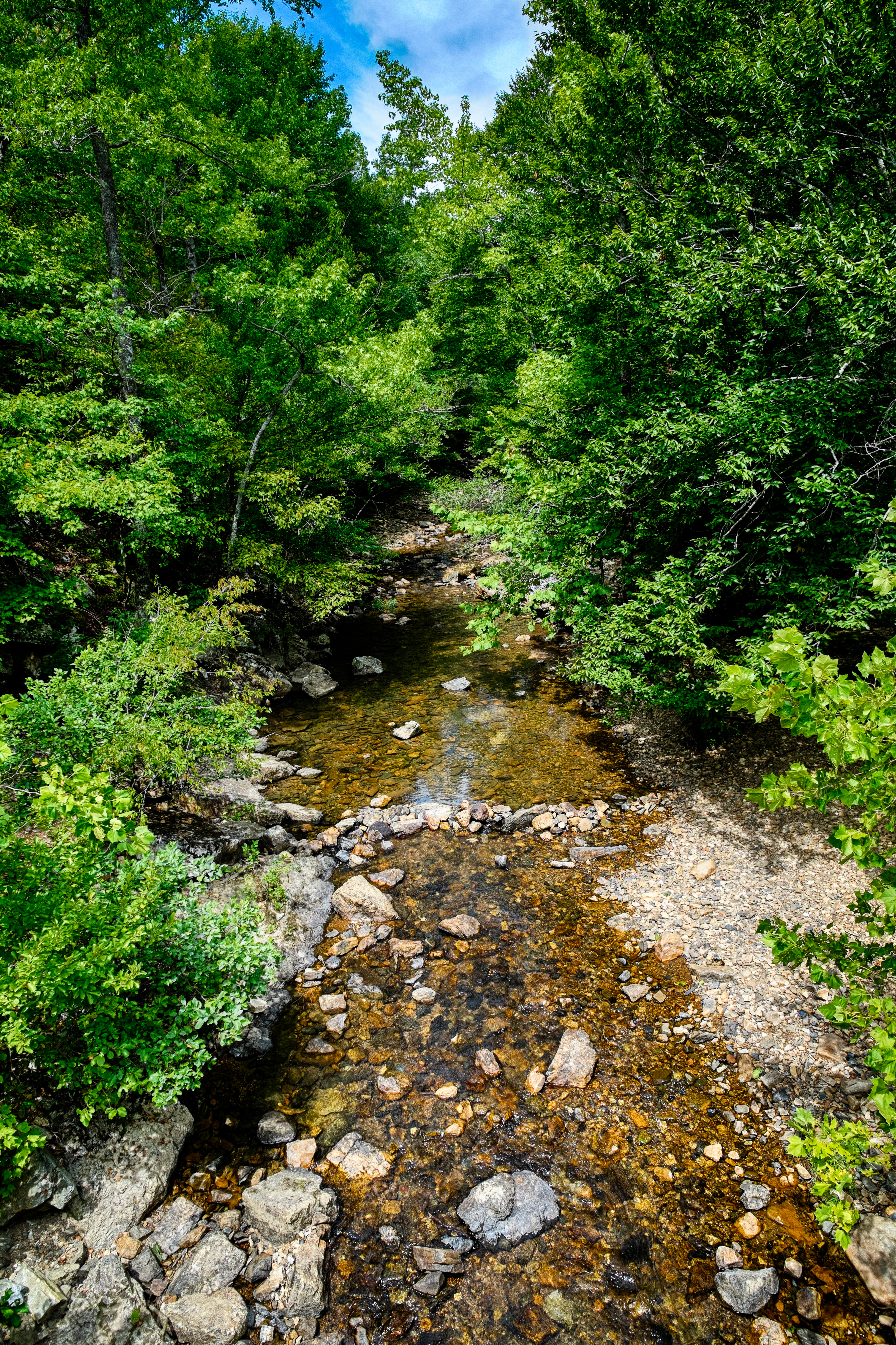
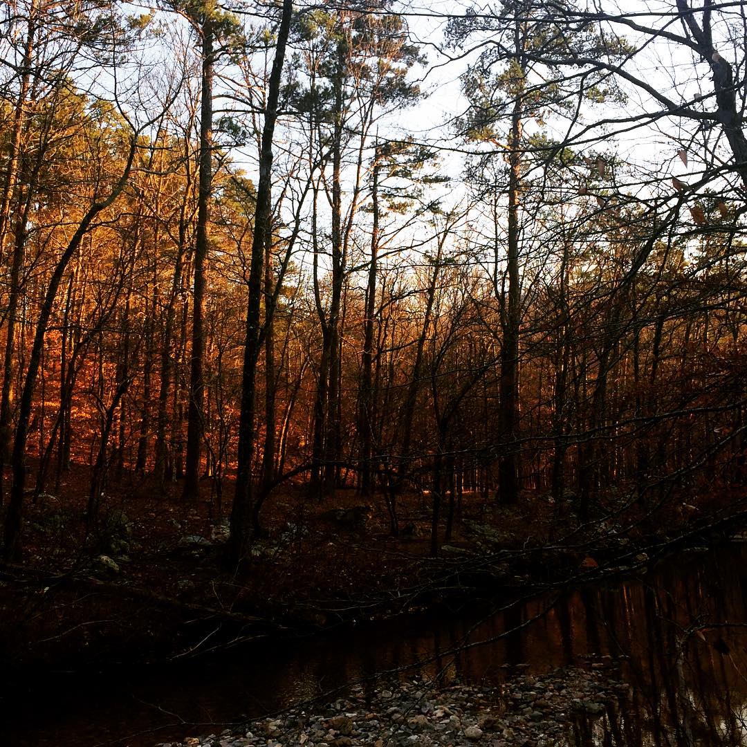
Forest View
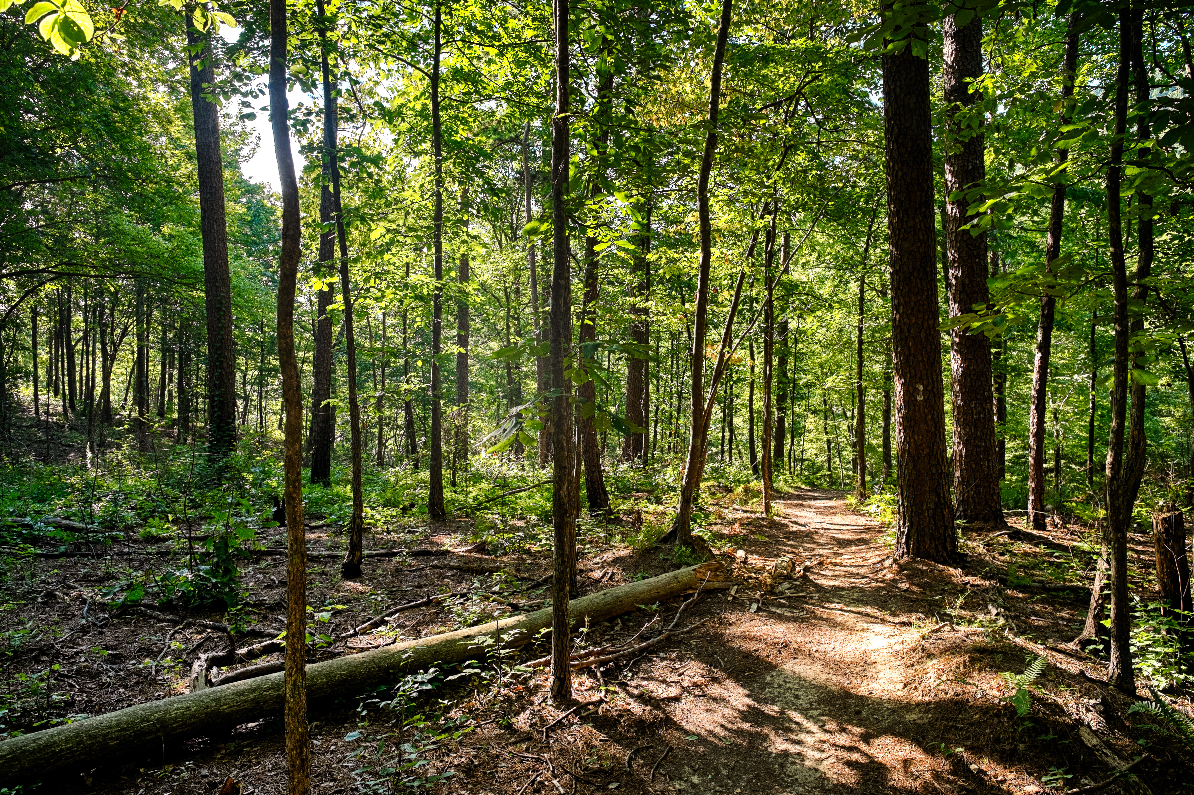
Forest View
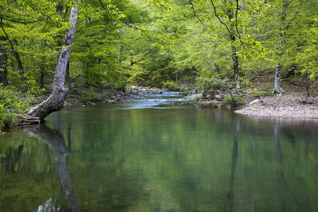
Little Missouri River
Launching into Fall
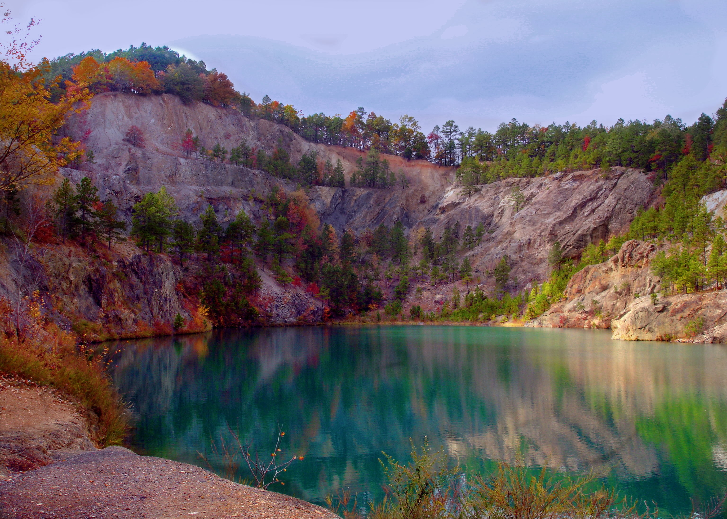
The Blue Hole

Stone Building
Little Missouri Falls

A hike and picnic at Lake Greeson Wildlife Management Area.
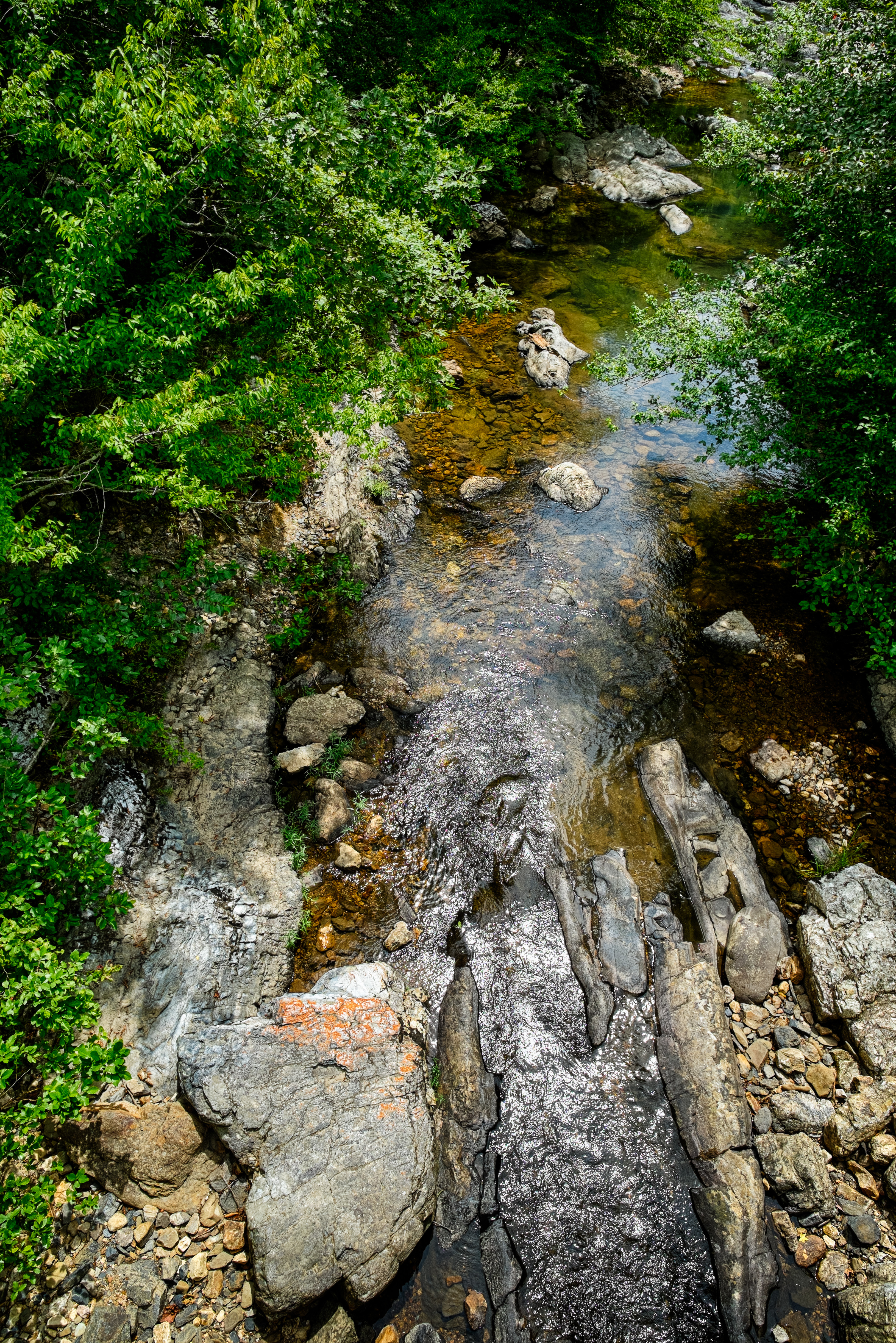
Blaylock Creek
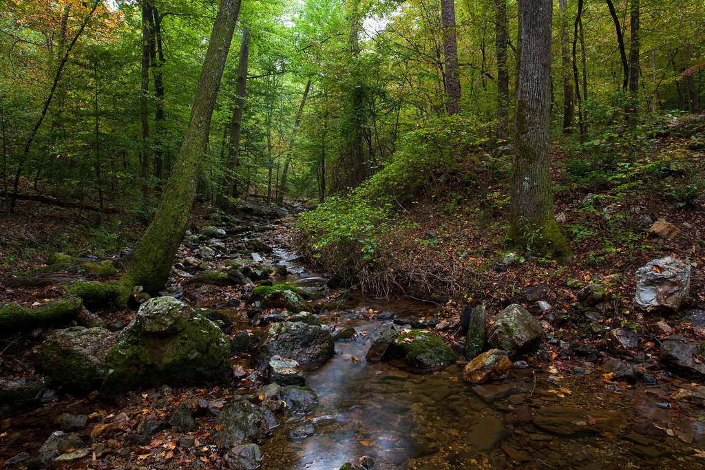
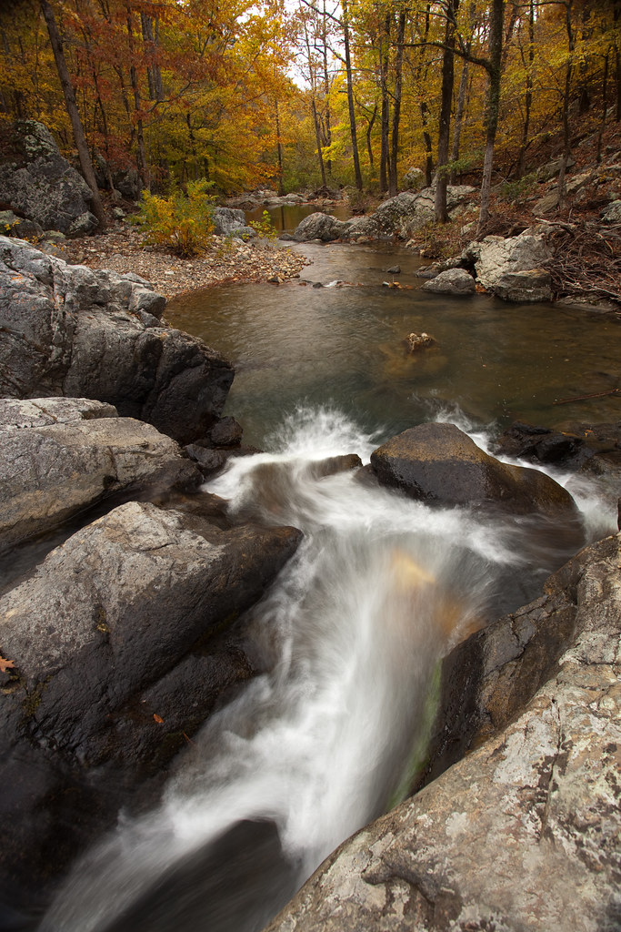
Roaring Branch

A hike and picnic at Lake Greeson Wildlife Management Area.

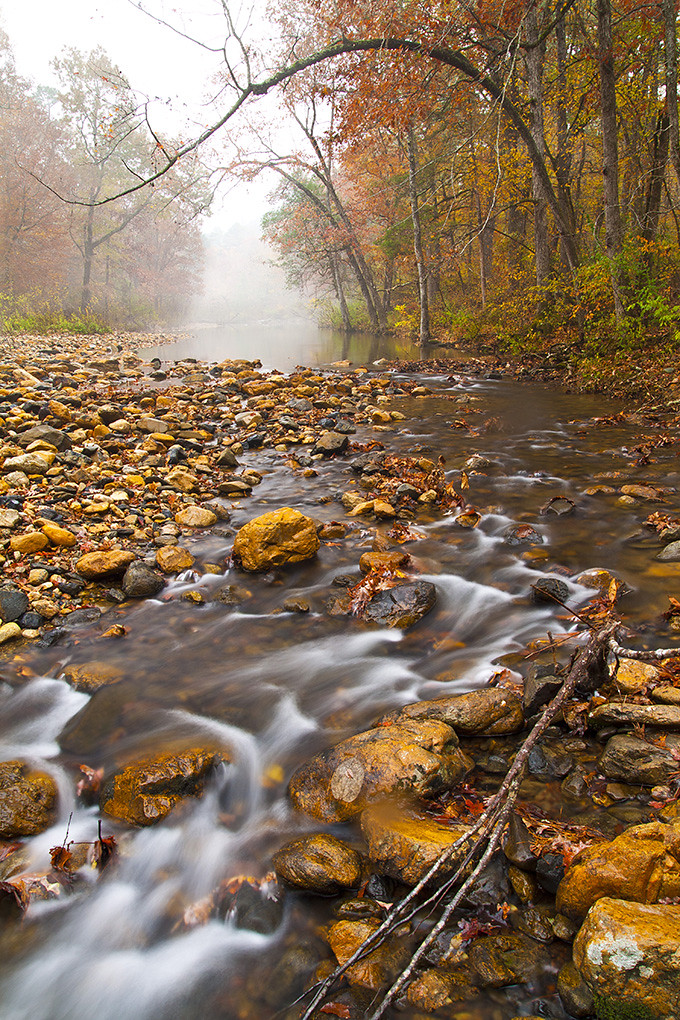
Spring Snow Shower on the Little Missouri

Little Missouri Falls During High Water
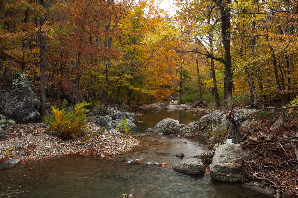
Crooked Creek, Fall Color, and Bruce
Little Missouri River
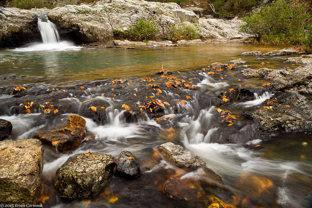
Little Missouri Falls

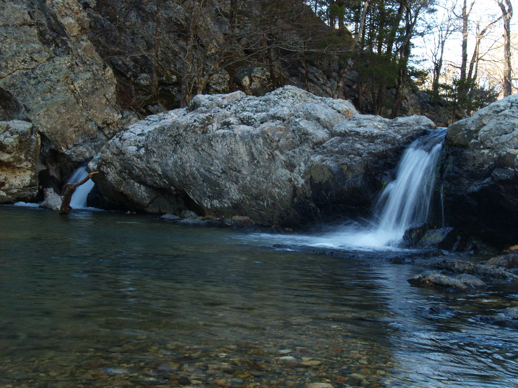
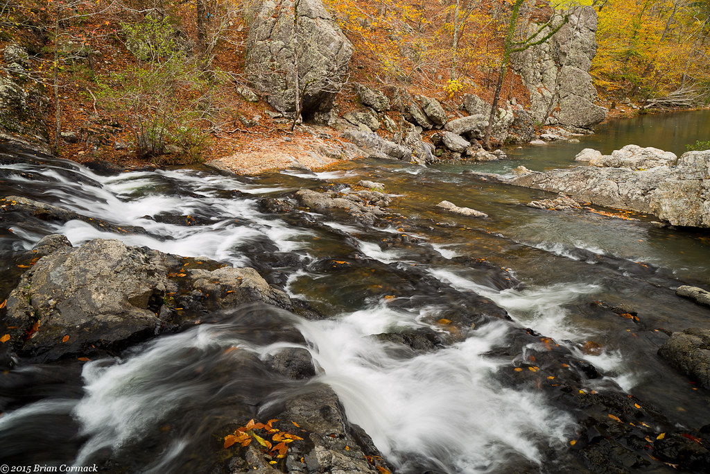
Crooked Creek Falls
Evening Sun on the Little Missouri River

6.38km from Slatington (historical), Arkansas

Crooked Creek Falls
Lil_Mo-9
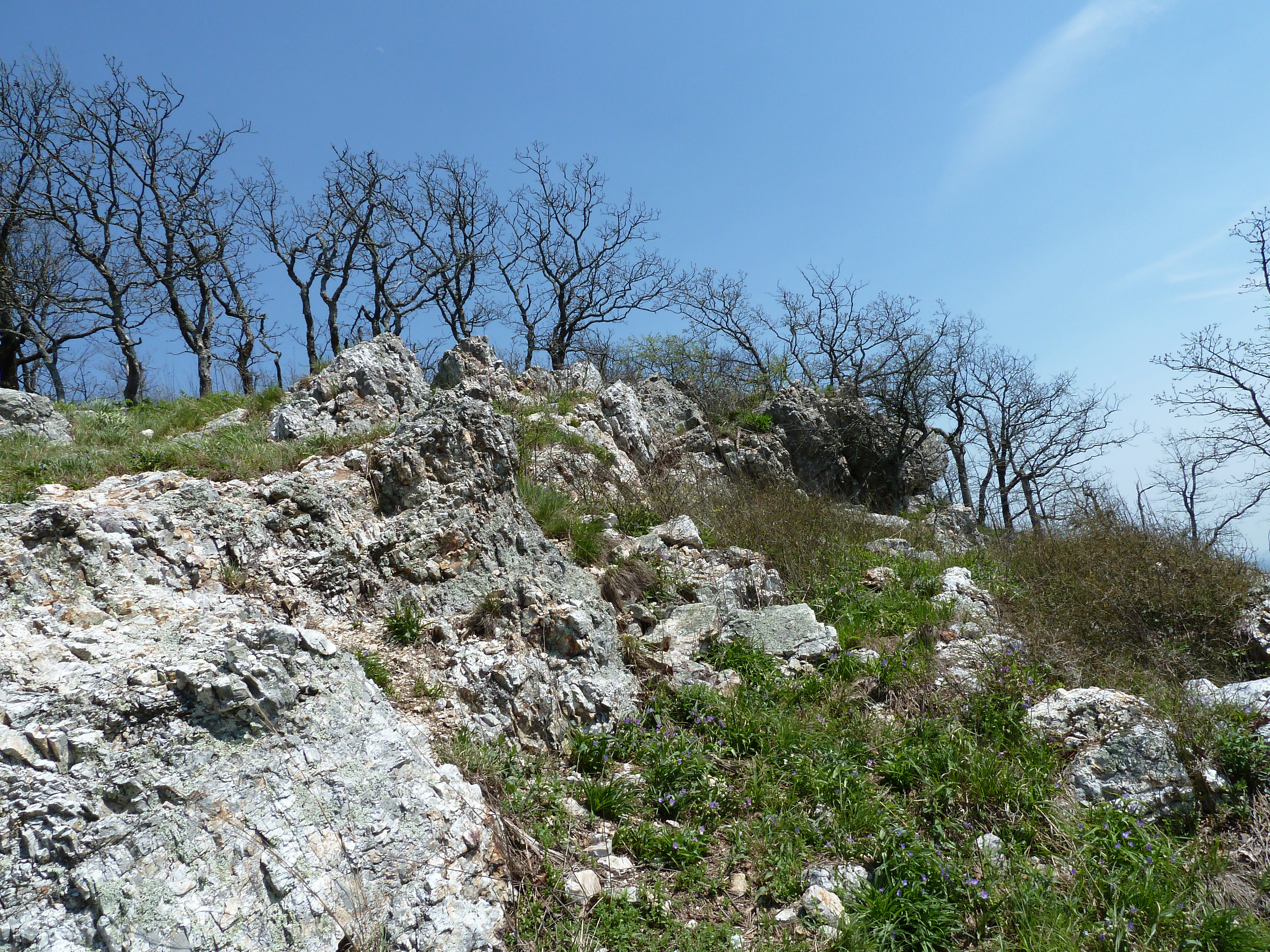
Atop Albert Pike South Face look West
Eagle Rock Loop - Apr 2009
Eagle Rock Loop - Apr 2009
Topographic Map of Hopper Township, AR, USA
Find elevation by address:

Places in Hopper Township, AR, USA:
Places near Hopper Township, AR, USA:
AR-8, Norman, AR, USA
1383 Polk Creek Rd
Black Springs Township
AR-8, Norman, AR, USA
AR-84, Glenwood, AR, USA
Black Springs
AR-, Caddo Gap, AR, USA
Lodi
Eagle Township
91 Roberts Trail, Norman, AR, USA
Norman
512 Old Mt Ida Hwy
White Township
Manford Rd, Caddo Gap, AR, USA
Newhope
US-70, Newhope, AR, USA
Big Fork Township
Newhope, AR, USA
Mountain Township
Athens
Recent Searches:
- Elevation of 4 Vale Rd, Sheffield S3 9QX, UK
- Elevation of Keene Point Drive, Keene Point Dr, Grant, AL, USA
- Elevation of State St, Zanesville, OH, USA
- Elevation of Austin Stone Dr, Haslet, TX, USA
- Elevation of Bydgoszcz, Poland
- Elevation of Bydgoszcz, Poland
- Elevation of Calais Dr, Del Mar, CA, USA
- Elevation of Placer Mine Ln, West Jordan, UT, USA
- Elevation of E 63rd St, New York, NY, USA
- Elevation of Elk City, OK, USA