Elevation of White Township, AR, USA
Location: United States > Arkansas > Pike County >
Longitude: -93.855350
Latitude: 34.2373154
Elevation: 210m / 689feet
Barometric Pressure: 99KPa
Elevation Map:
Satellite Map:
Related Photos:
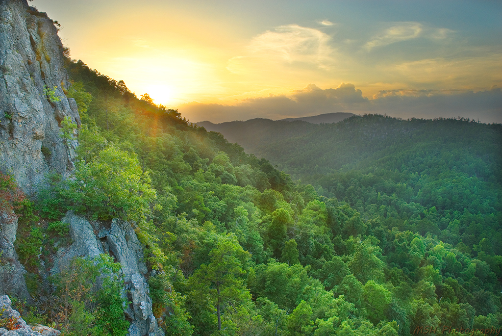
View from Window Rock @ Albert Pike State Park - AR
Little Missouri View
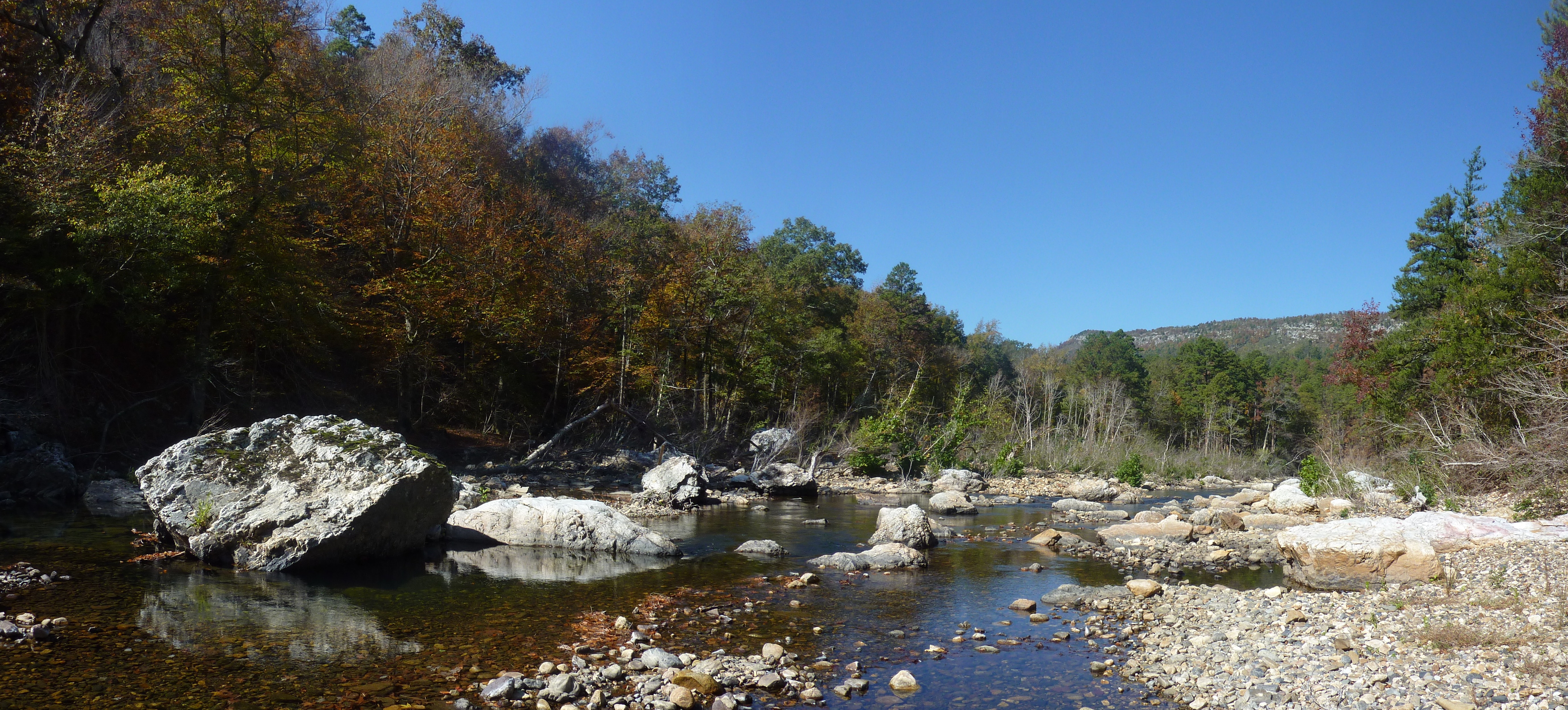
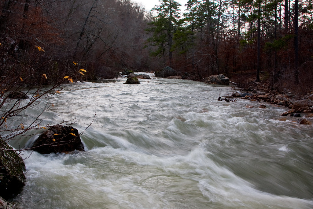
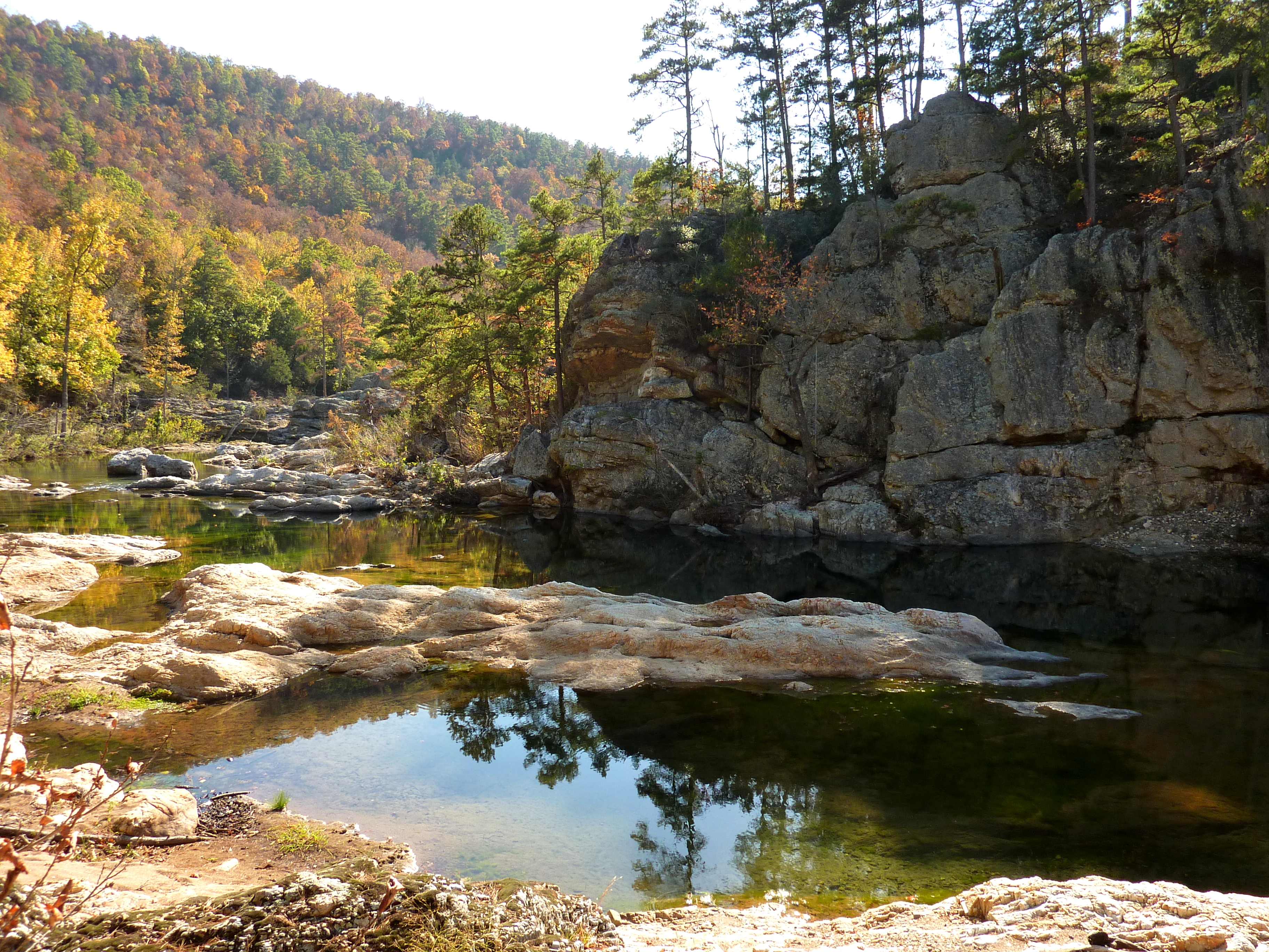
Little Missouri River at Albert Pike
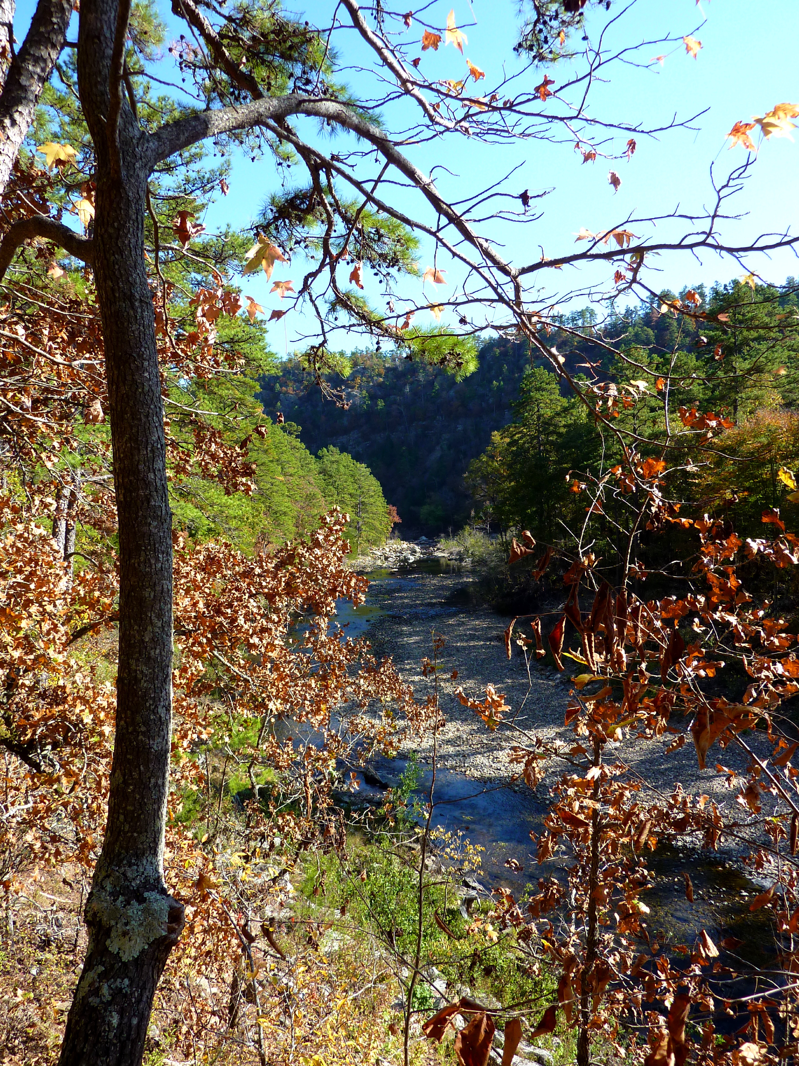
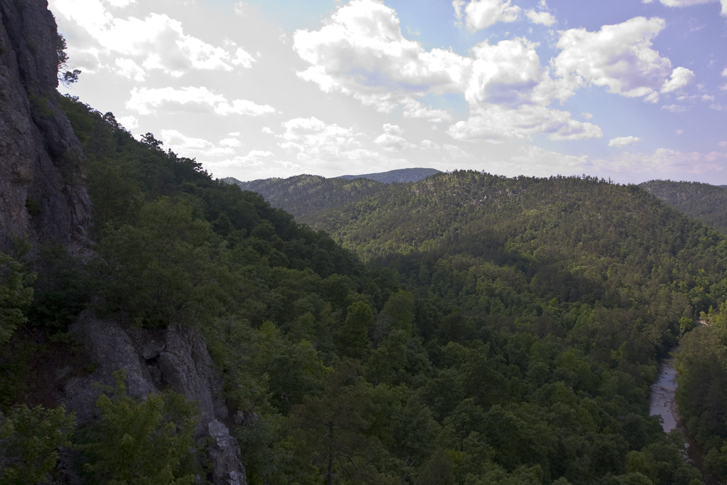
View from the Bluffline Above the Little Missouri
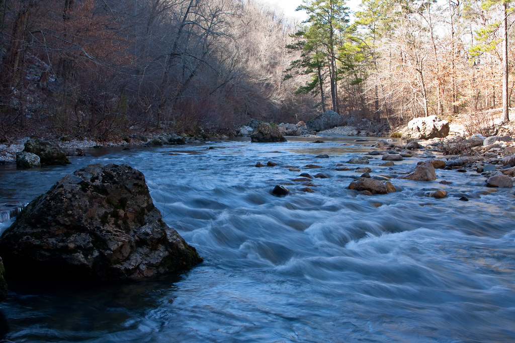
Icy Cold River
Another view
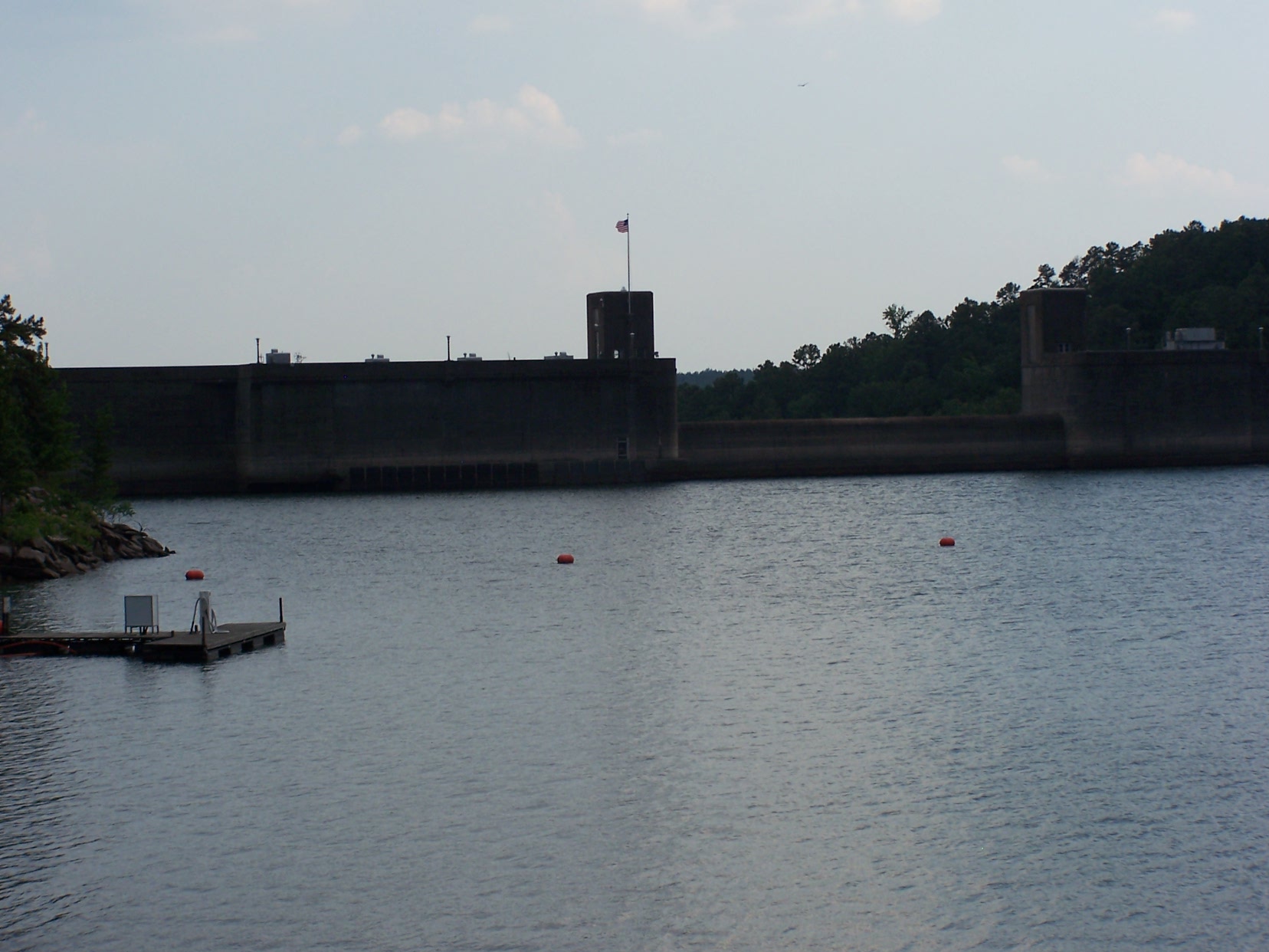
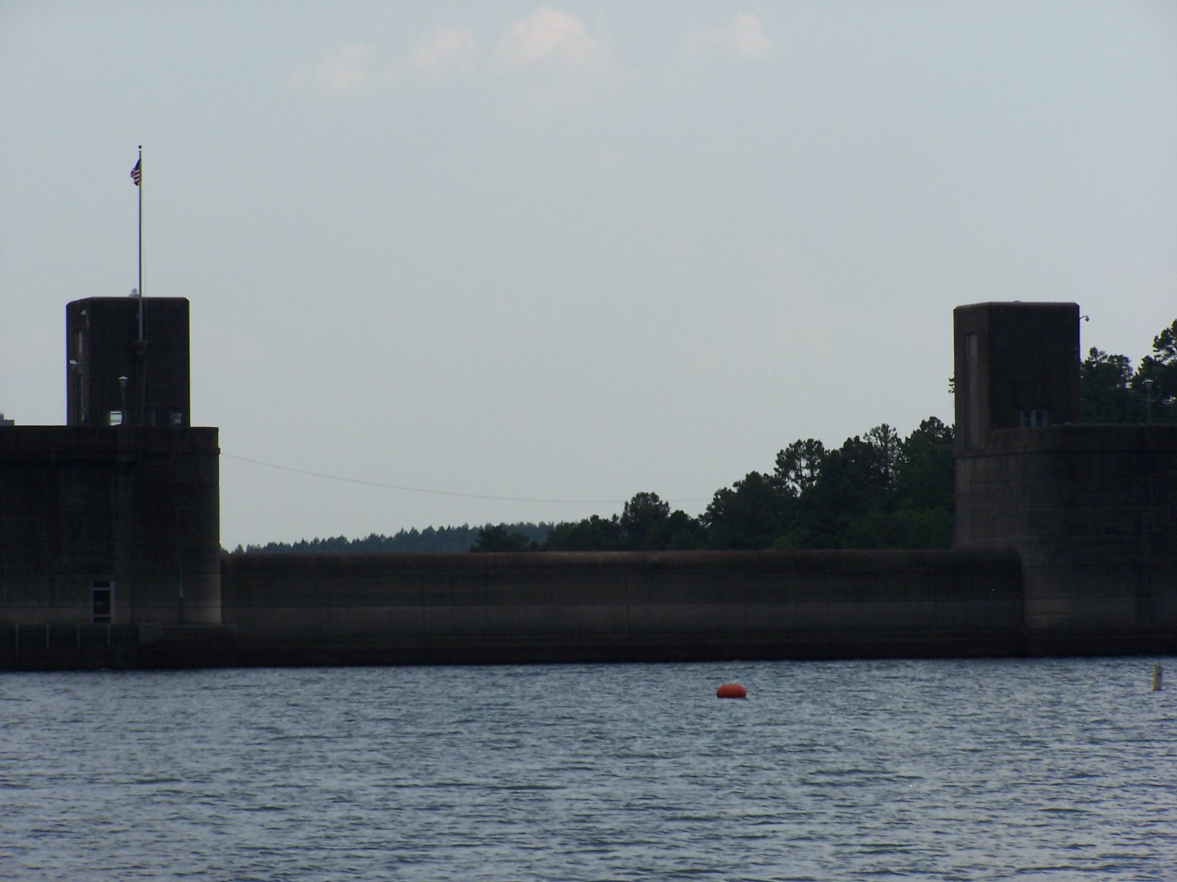
Lake view of Narrows dam

A hike and picnic at Lake Greeson Wildlife Management Area.
Atop Albert Pike South Face look West

A hike and picnic at Lake Greeson Wildlife Management Area.

Spring Snow Shower on the Little Missouri
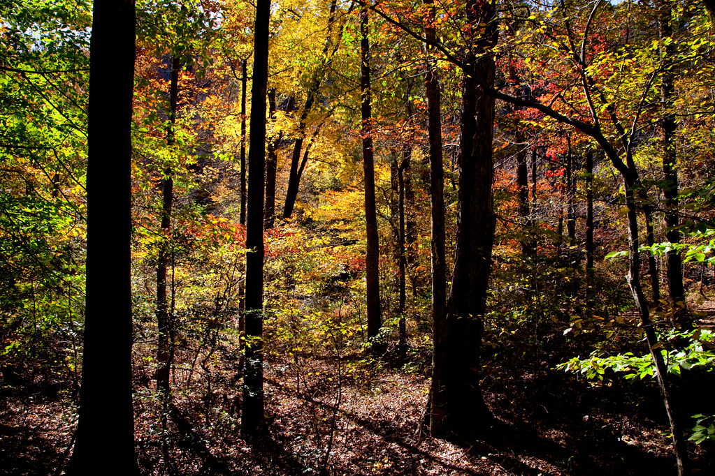
Golden Forest

Little Missouri Falls During High Water

at the entrance to the winding stairs _11-24-11_067
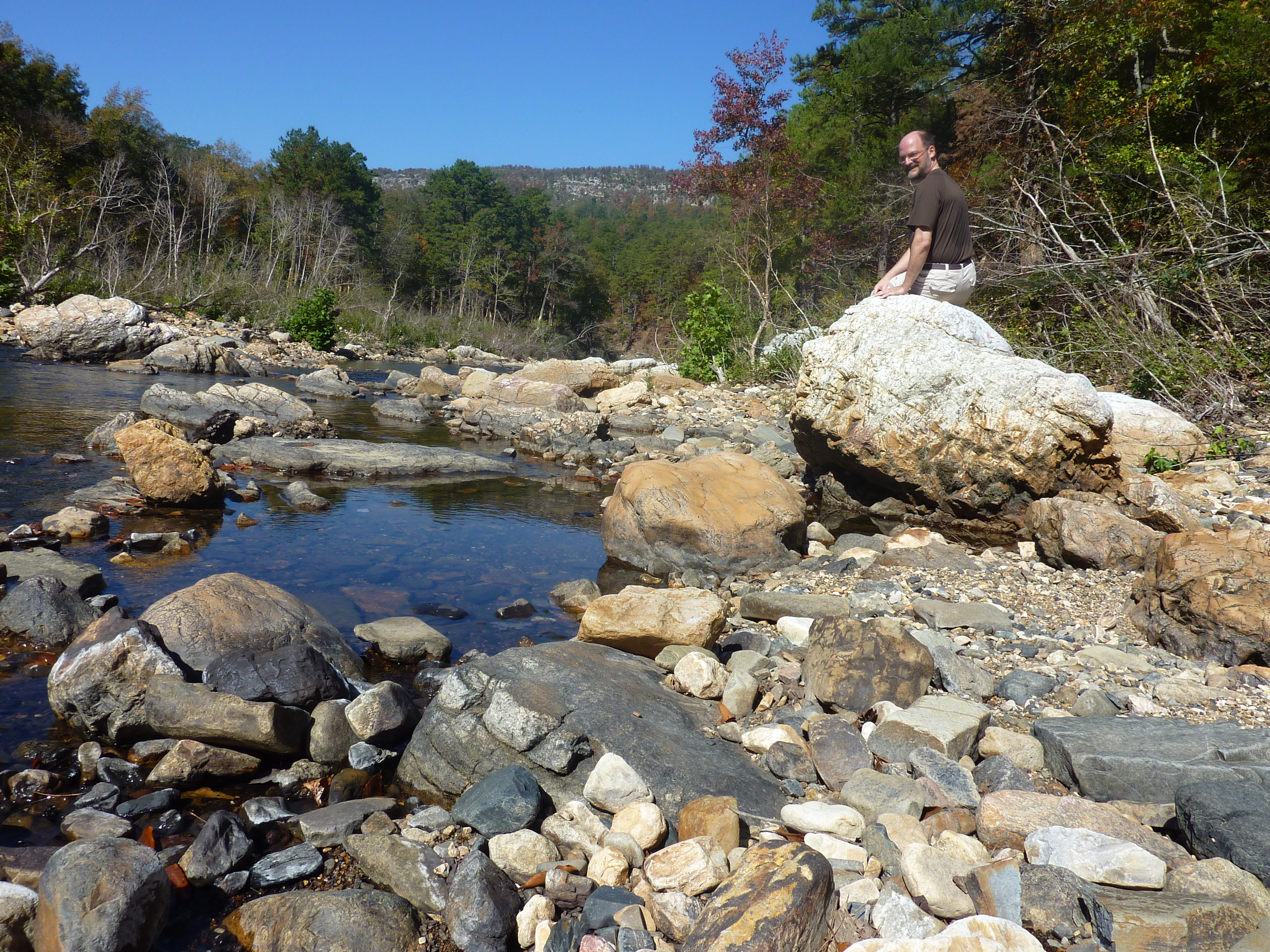
Little Missouri Downstream

Beautiful Arkansas

Resurrection Fern and Lichen

First picnic of the year.

A hike and picnic at Lake Greeson Wildlife Management Area.
Beside the Little Mo

Crooked Creek After a Heavy Rain

Beautiful Arkansas
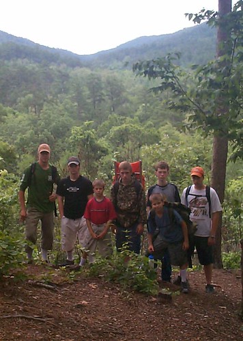
The Crew

A hike and picnic at Lake Greeson Wildlife Management Area.
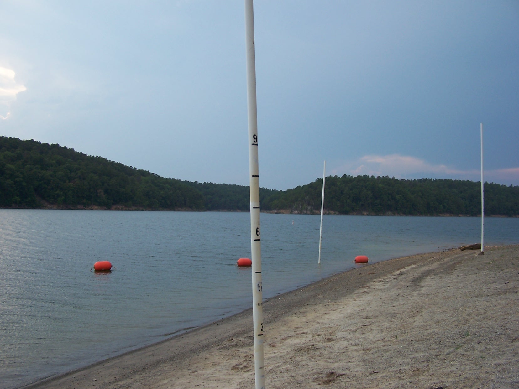
Swimming area. The poles will tell you how deep it is.

Beautiful Arkansas
Topographic Map of White Township, AR, USA
Find elevation by address:

Places in White Township, AR, USA:
Places near White Township, AR, USA:
US-70, Newhope, AR, USA
Newhope
Newhope, AR, USA
Lake Greeson
Athens
Mountain Township
Hopper Township
AR-84, Glenwood, AR, USA
Lodi
Eagle Township
Pike County
Umpire
Dierks
Howard County
Burg Township
AR-, Caddo Gap, AR, USA
AR-19, Murfreesboro, AR, USA
12 AR-84, Amity, AR, USA
Shady Lake Recreation Area
Keith Rd, Umpire, AR, USA
Recent Searches:
- Elevation of Congressional Dr, Stevensville, MD, USA
- Elevation of Bellview Rd, McLean, VA, USA
- Elevation of Stage Island Rd, Chatham, MA, USA
- Elevation of Shibuya Scramble Crossing, 21 Udagawacho, Shibuya City, Tokyo -, Japan
- Elevation of Jadagoniai, Kaunas District Municipality, Lithuania
- Elevation of Pagonija rock, Kranto 7-oji g. 8"N, Kaunas, Lithuania
- Elevation of Co Rd 87, Jamestown, CO, USA
- Elevation of Tenjo, Cundinamarca, Colombia
- Elevation of Côte-des-Neiges, Montreal, QC H4A 3J6, Canada
- Elevation of Bobcat Dr, Helena, MT, USA