Elevation of Homestead Dr, Wilsonville, AL, USA
Location: United States > Alabama > Shelby County > Wilsonville >
Longitude: -86.46757
Latitude: 33.206576
Elevation: 126m / 413feet
Barometric Pressure: 100KPa
Elevation Map:
Satellite Map:
Related Photos:
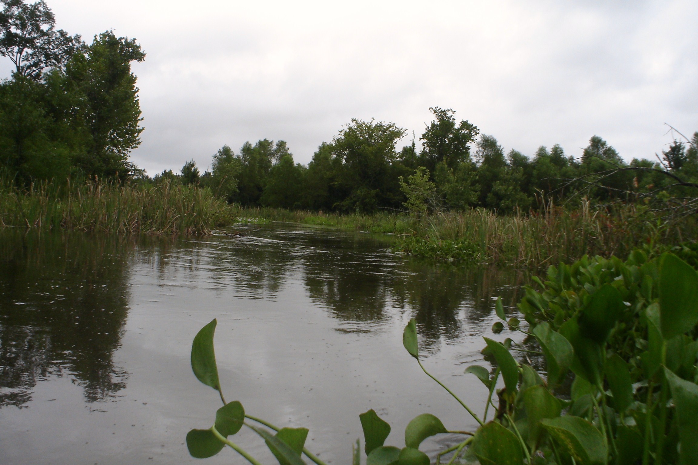
Swolen Creek North View
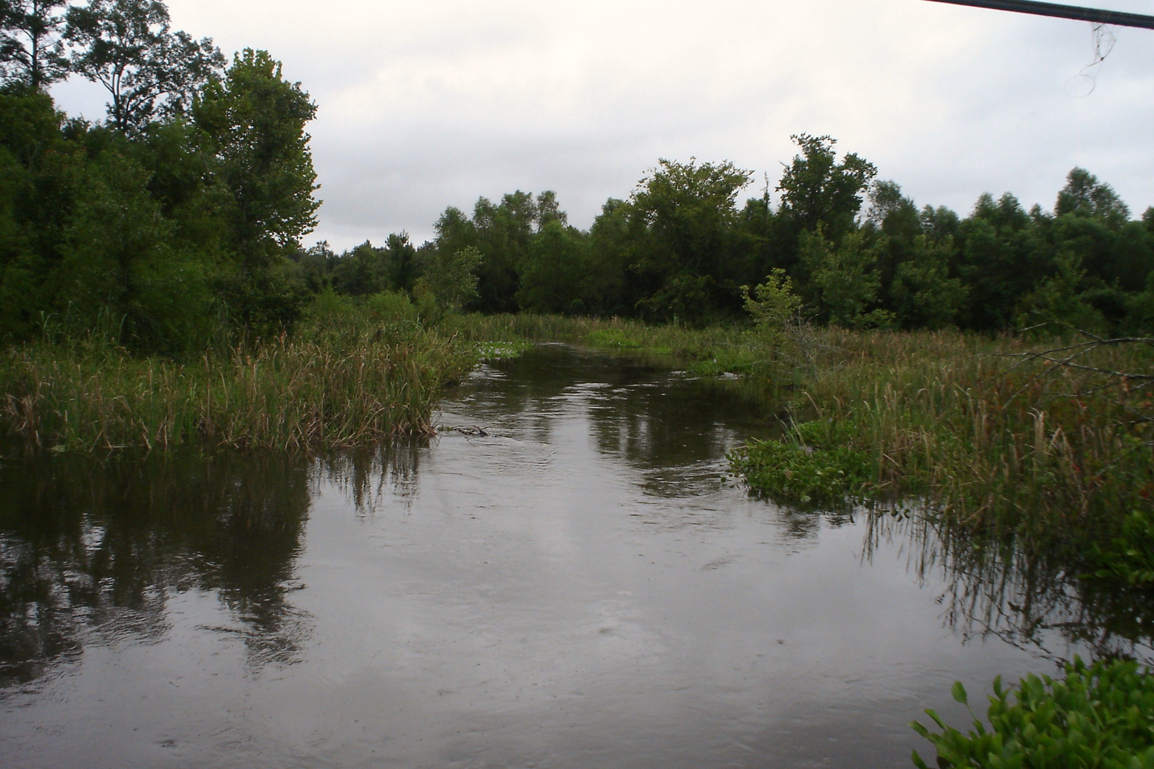
Swolen Creek South View

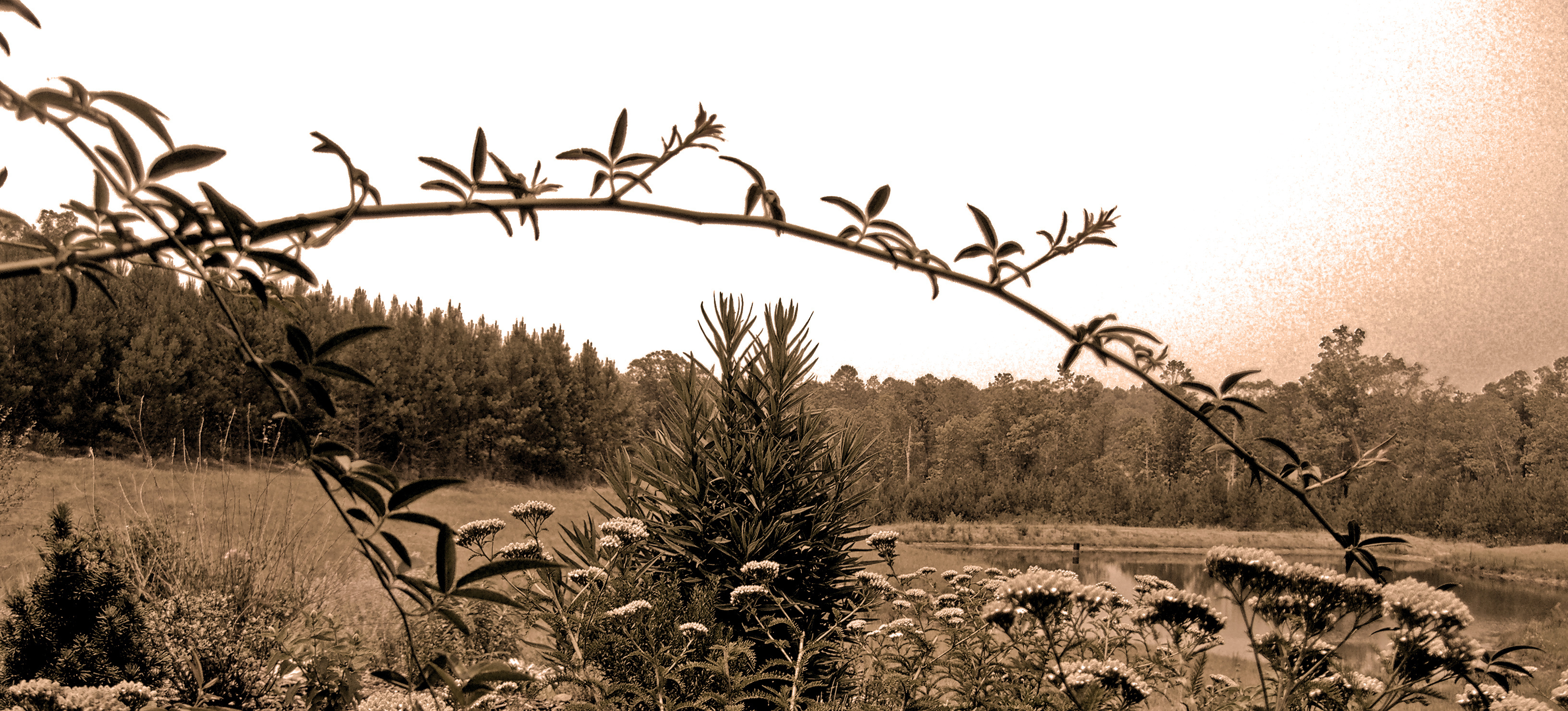
View from the Hill
The Meet
Caught in the Glow
Fighting for Skyline

Practice green for a yard. @farmlinks sick

FarmLinks at Pursell Farms

High Falls - Talladega National Forest #waterfall #nature #highfalls #talladeganationalforest #talladega #forest #woods
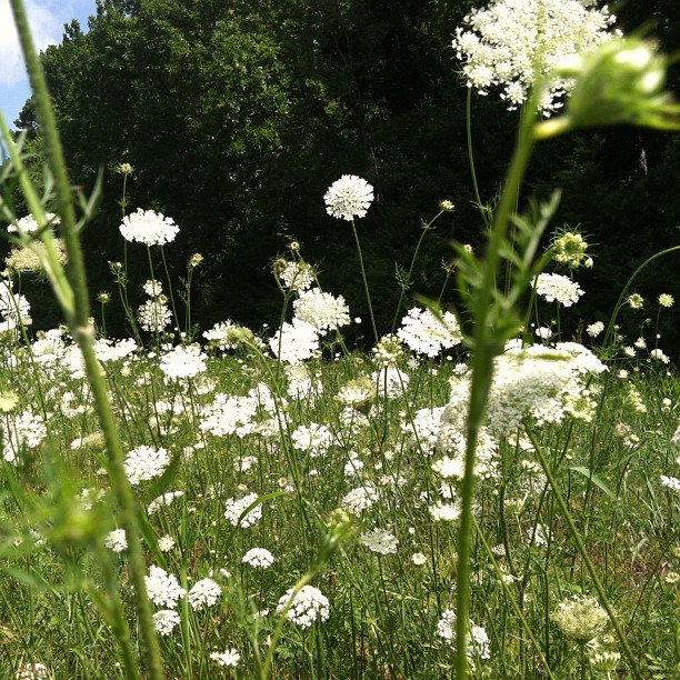
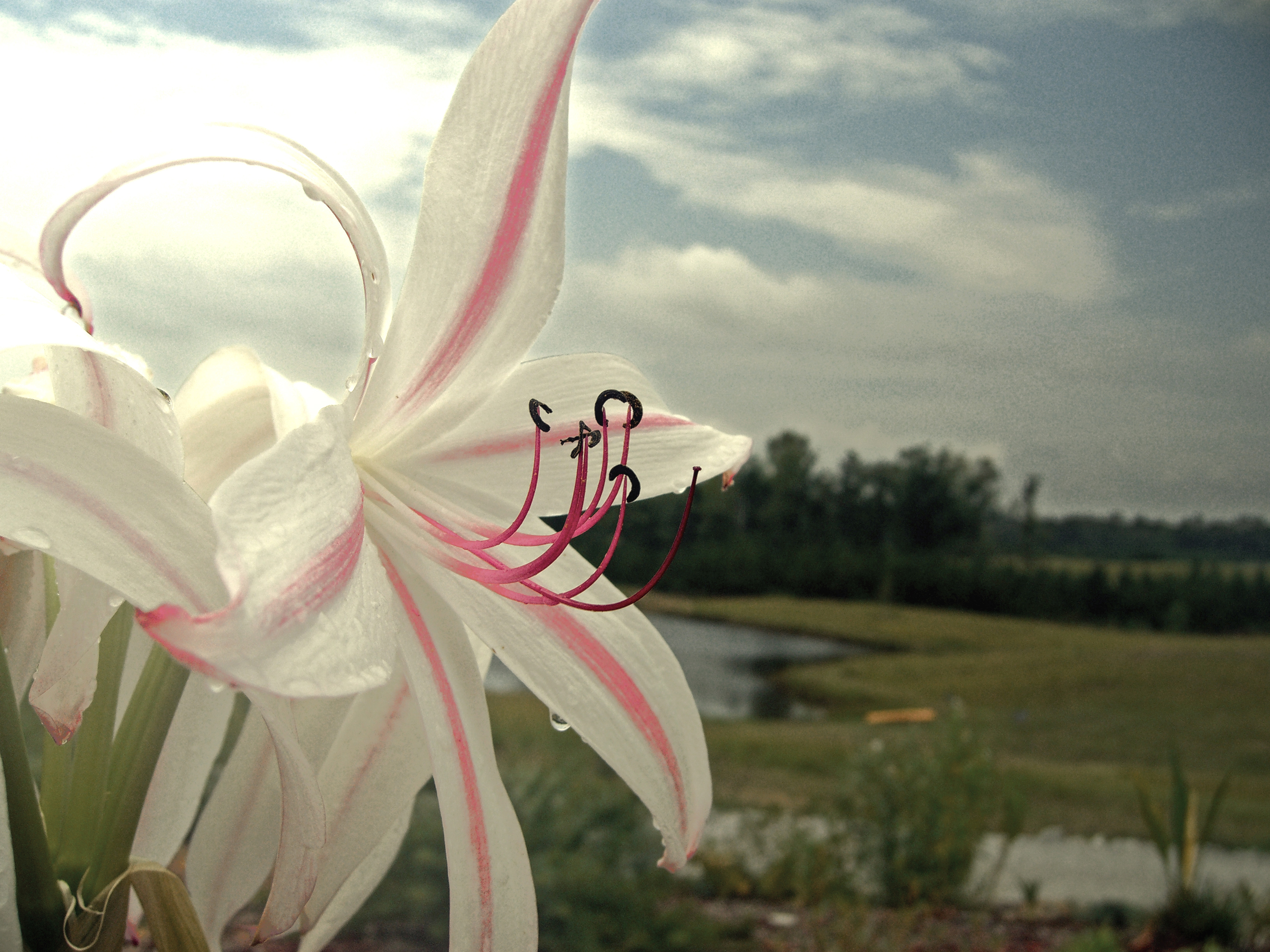
Saint Ann's Lace
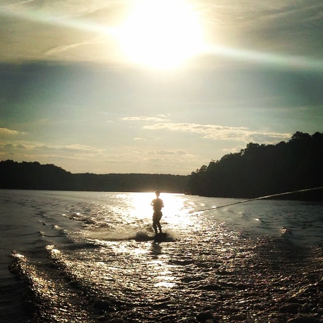
Jackson rides the wake board on a beautiful early evening. @darinmiller

2010-03-07 RlyX at SBRP

2010-03-07 RlyX at SBRP

2010-03-07 RlyX at SBRP

2010-03-07 RlyX at SBRP

2010-03-07 RlyX at SBRP
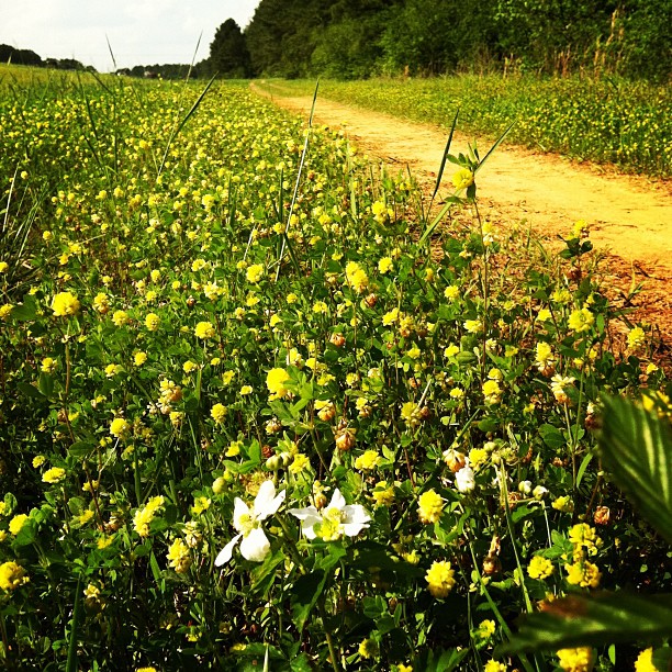
Blackberry Blossom in #yellow clover #country
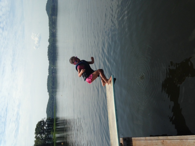
photo 3

2010-03-07 RlyX at SBRP
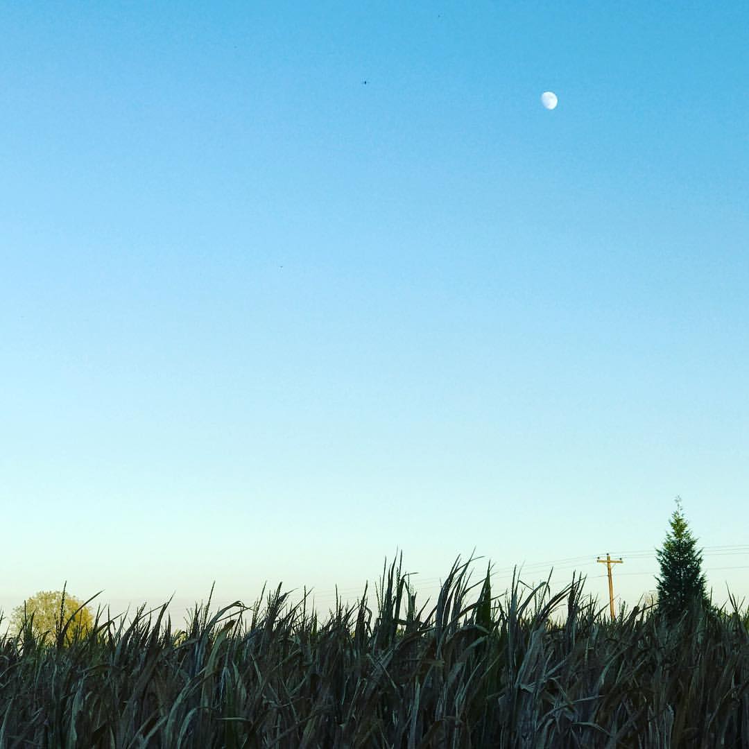
Autumn moon.
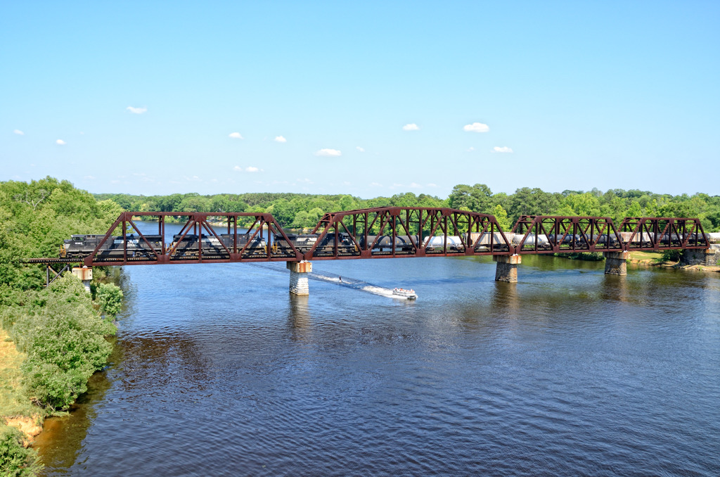
Coosa River Crossing
Topographic Map of Homestead Dr, Wilsonville, AL, USA
Find elevation by address:

Places near Homestead Dr, Wilsonville, AL, USA:
Mountain View Dr, Wilsonville, AL, USA
Valentine Trail, Wilsonville, AL, USA
Sunrise Circle
Wilsonville
Paradise Point Dr, Columbiana, AL, USA
Childersburg Fayetteville Hwy, Sylacauga, AL, USA
River Dr, Shelby, AL, USA
23600 Al-145
Talladega Springs Rd, Sylacauga, AL, USA
Co Rd 55, Wilsonville, AL, USA
724 Peckerwood Creek Trail #617
724 Peckerwood Creek Trail #617
Sun Valley Rd, Harpersville, AL, USA
120 River Run Rd
5431 Rock School Rd
Childersburg
212 Pine Hill Dr
210 Pine Hill Dr
2 Lessor Dr, Childersburg, AL, USA
320 1st St Se
Recent Searches:
- Elevation of Abbey Dr, Virginia Beach, VA, USA
- Elevation of Brooks Lp, Spearfish, SD, USA
- Elevation of Panther Dr, Maggie Valley, NC, USA
- Elevation of Jais St - Wadi Shehah - Ras al Khaimah - United Arab Emirates
- Elevation of Shawnee Avenue, Shawnee Ave, Easton, PA, USA
- Elevation of Scenic Shore Dr, Kingwood Area, TX, USA
- Elevation of W Prive Cir, Delray Beach, FL, USA
- Elevation of S Layton Cir W, Layton, UT, USA
- Elevation of F36W+3M, Mussoorie, Uttarakhand, India
- Elevation of Fairland Ave, Fairhope, AL, USA