Elevation of Pine Hill Dr, Columbiana, AL, USA
Location: United States > Alabama > Shelby County > Columbiana >
Longitude: -86.599439
Latitude: 33.1853453
Elevation: 183m / 600feet
Barometric Pressure: 99KPa
Elevation Map:
Satellite Map:
Related Photos:

Horrified!

High Falls - Talladega National Forest #waterfall #nature #highfalls #talladeganationalforest #talladega #forest #woods

Bad Weather Moves In On an Alabama Spring Morning

Caught in the Glow
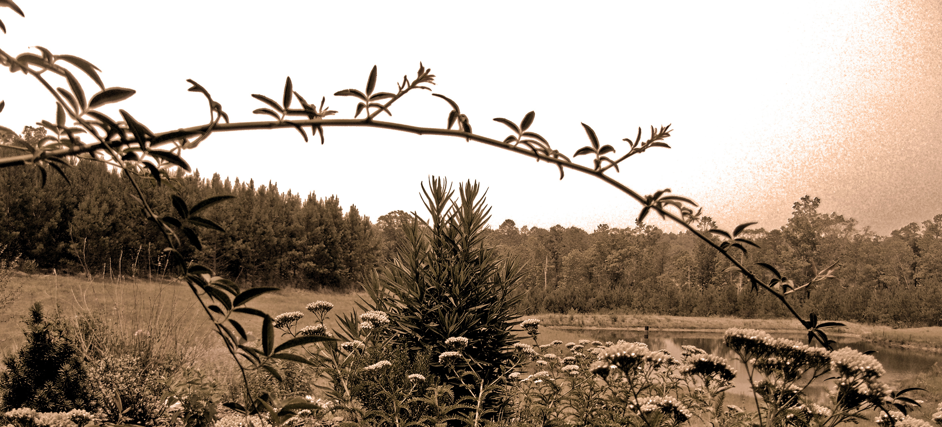
Fighting for Skyline

Jackson rides the wake board on a beautiful early evening. @darinmiller
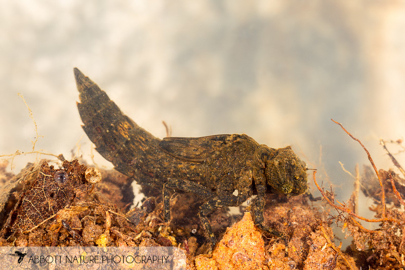
Cyrano Darner (Nasiaeschna pentacantha) 20160529_2984.jpg
Chicken Coop
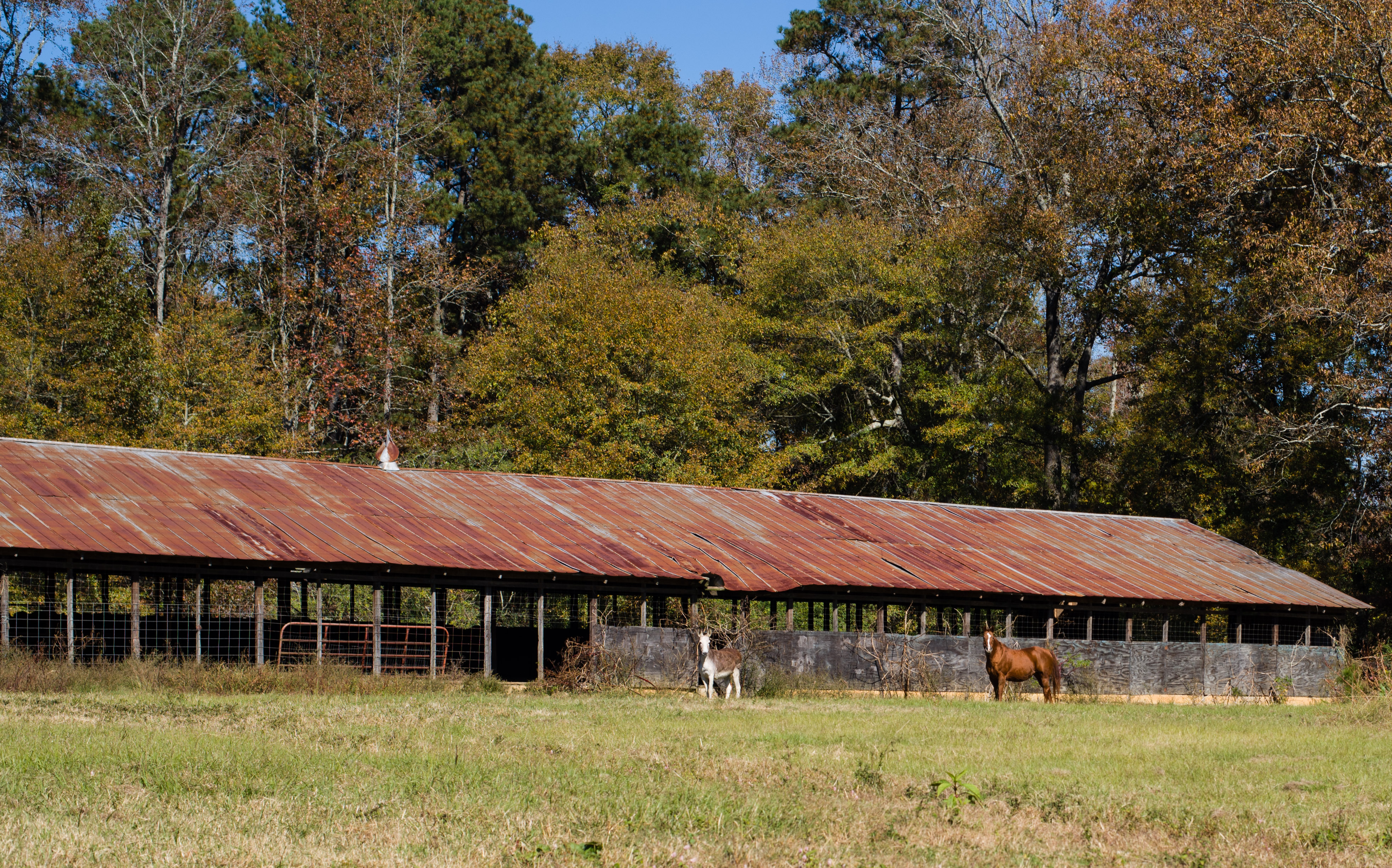
Test shot with new Sigma 150-500 f5-6.3 APO DG OS

photo 3
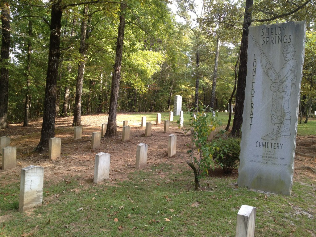
Shelby Springs Confederate Cemetery
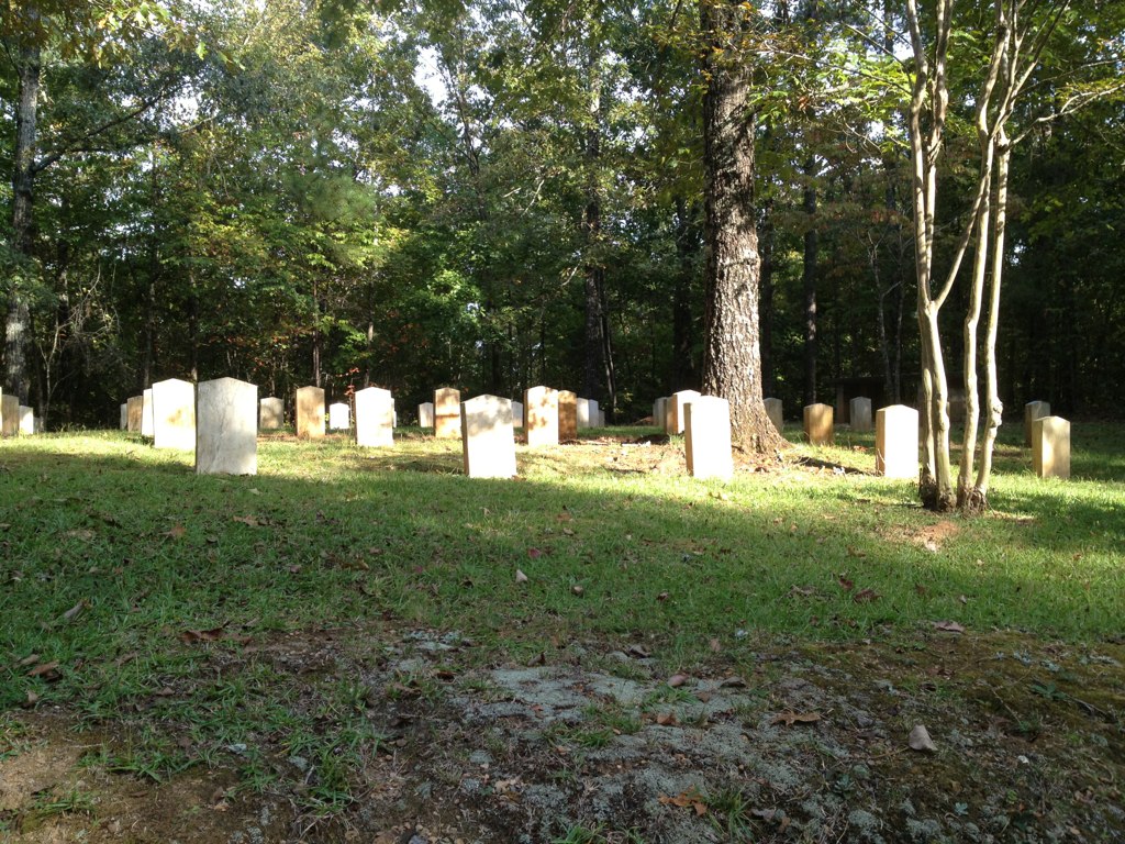
Shelby Springs Confederate Cemetery
Topographic Map of Pine Hill Dr, Columbiana, AL, USA
Find elevation by address:

Places near Pine Hill Dr, Columbiana, AL, USA:
210 Pine Hill Dr
Columbiana
121 Pinetree Cir
210 Butler St
23600 Al-145
Shelby
Co Rd 42, Calera, AL, USA
Paradise Point Dr, Columbiana, AL, USA
Sunrise Circle
Co Rd 86, Calera, AL, USA
Co Rd 46, Shelby, AL, USA
Co Rd, Calera, AL, USA
6331 Us-31
Oak Tree Ln, Calera, AL, USA
US-31, Calera, AL, USA
600 Foundry Rd
157 Camden Cove Pkwy
Calera
1825 21st Ave
Calera Middle School
Recent Searches:
- Elevation of Congressional Dr, Stevensville, MD, USA
- Elevation of Bellview Rd, McLean, VA, USA
- Elevation of Stage Island Rd, Chatham, MA, USA
- Elevation of Shibuya Scramble Crossing, 21 Udagawacho, Shibuya City, Tokyo -, Japan
- Elevation of Jadagoniai, Kaunas District Municipality, Lithuania
- Elevation of Pagonija rock, Kranto 7-oji g. 8"N, Kaunas, Lithuania
- Elevation of Co Rd 87, Jamestown, CO, USA
- Elevation of Tenjo, Cundinamarca, Colombia
- Elevation of Côte-des-Neiges, Montreal, QC H4A 3J6, Canada
- Elevation of Bobcat Dr, Helena, MT, USA