Elevation of Calera, AL, USA
Location: United States > Alabama > Shelby County >
Longitude: -86.753597
Latitude: 33.1028965
Elevation: 155m / 509feet
Barometric Pressure: 99KPa
Elevation Map:
Satellite Map:
Related Photos:
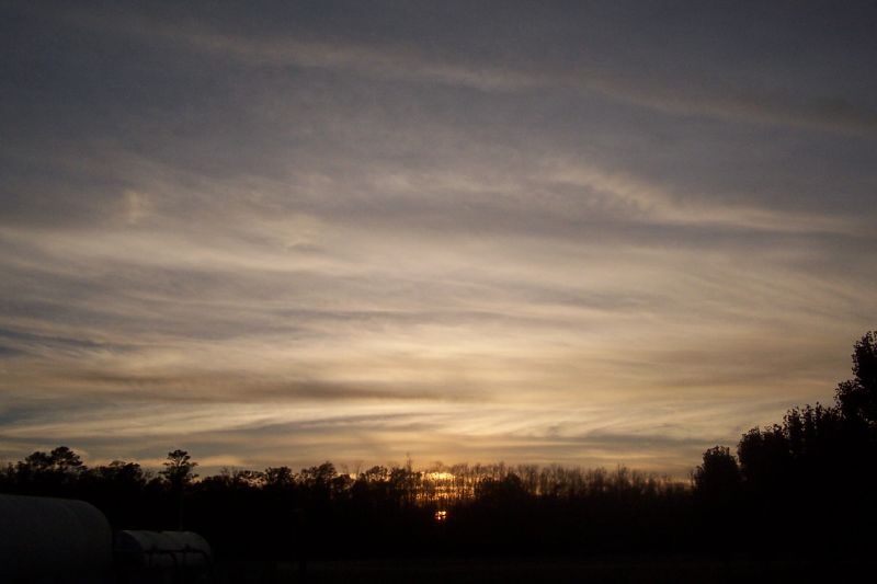
Sunset over Calera

The Long Flight Home Alt View

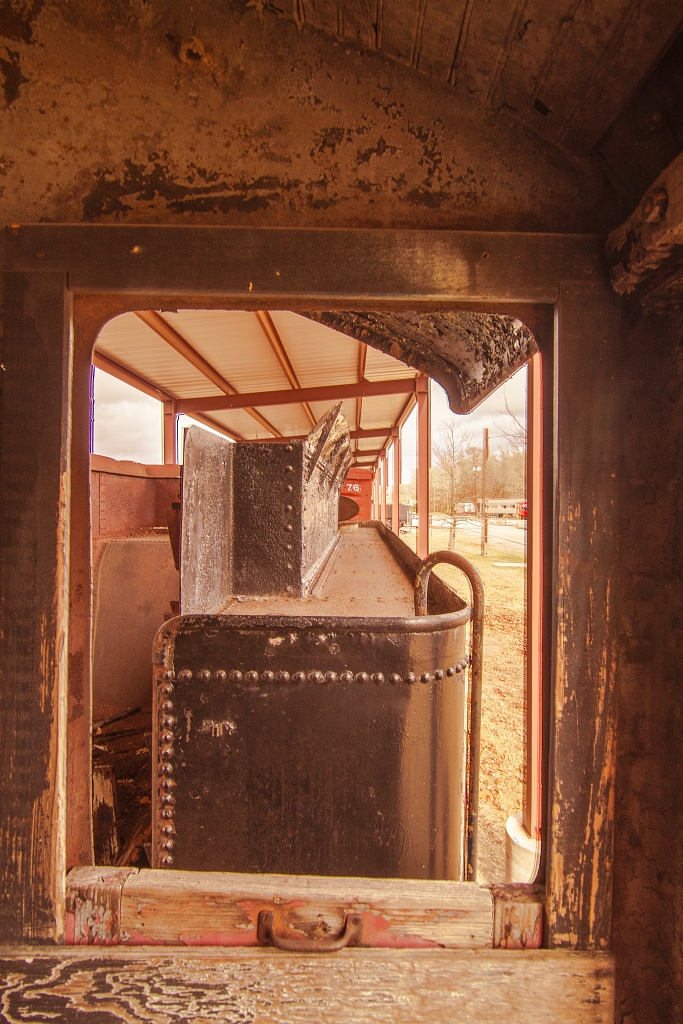
Train Wheel

Anatomy of a Dark Machine
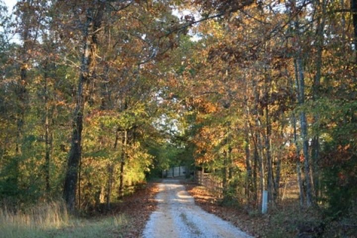
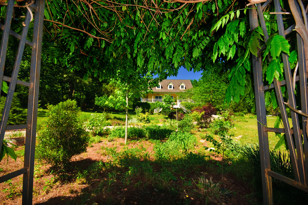
The Road Home

Buddy - Modified

16mm-Zenitar

The Helm
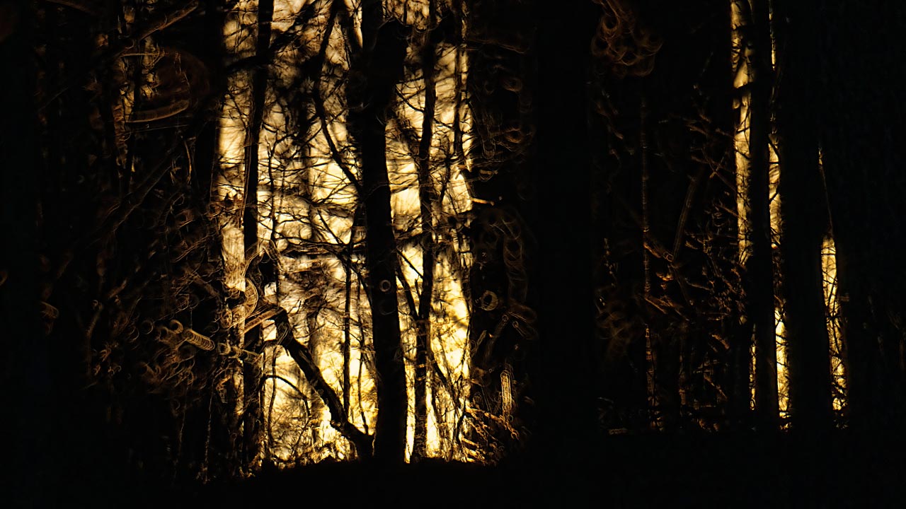
Forest Sunset

Tower minifig POV

GRAPHIC NOVEL DISPLAY (back corner view)

Luna Moth

GRAPHIC NOVEL DISPLAY (front table corner view)
rear view

Blood-wet Womb / Nearing the End
View from the Bench

Pond - The Fish 1 to 1 crop
Post Storm Experiment
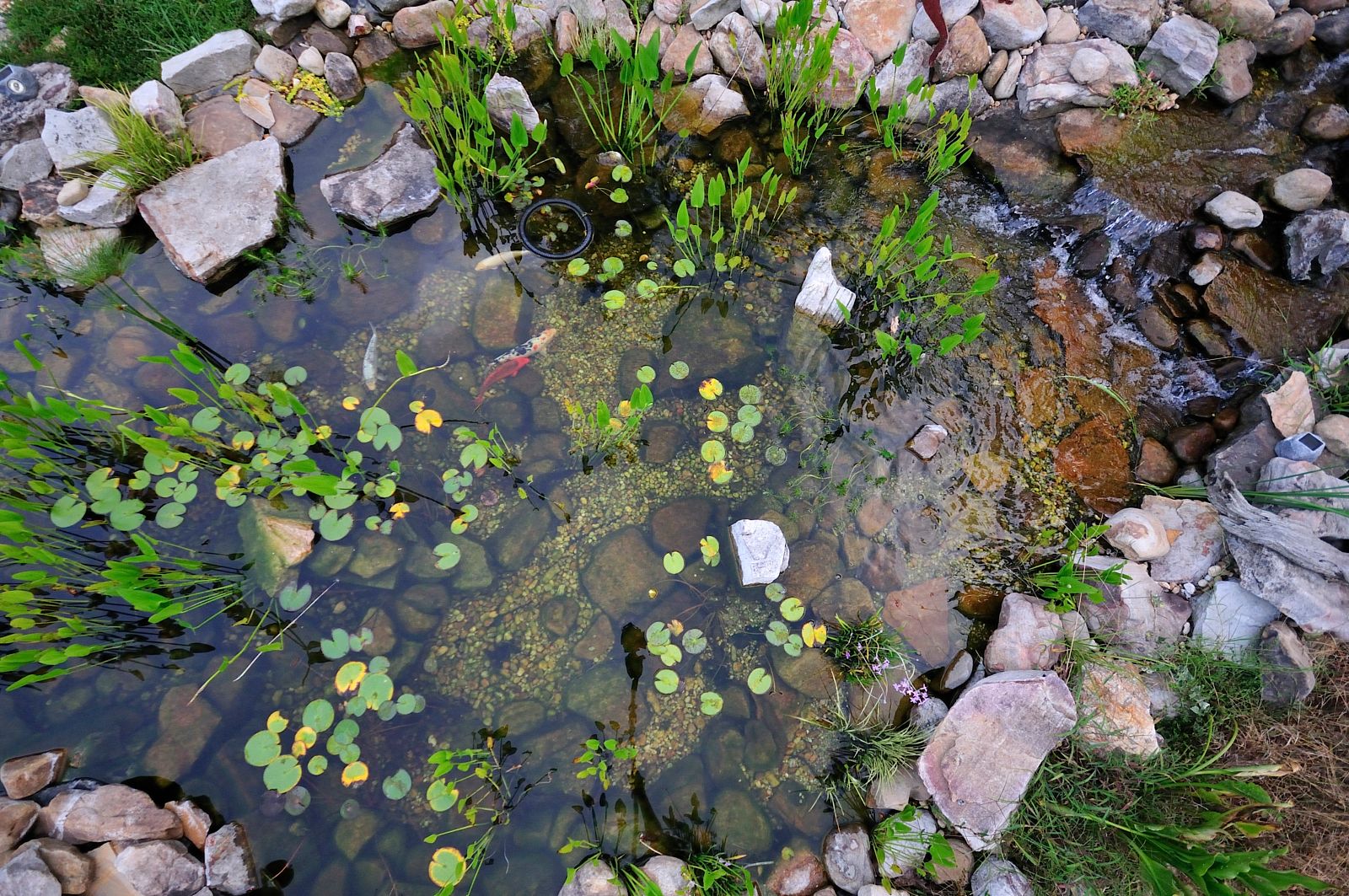
Pond - Aerial View 02
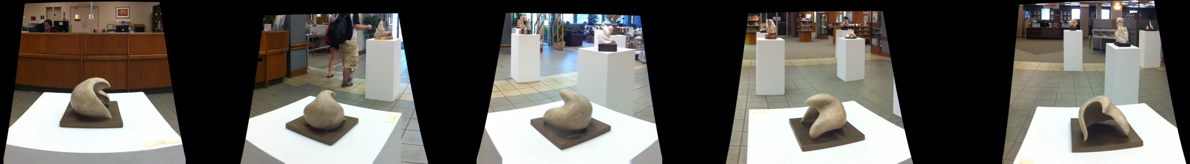
Panoramic View of Student work
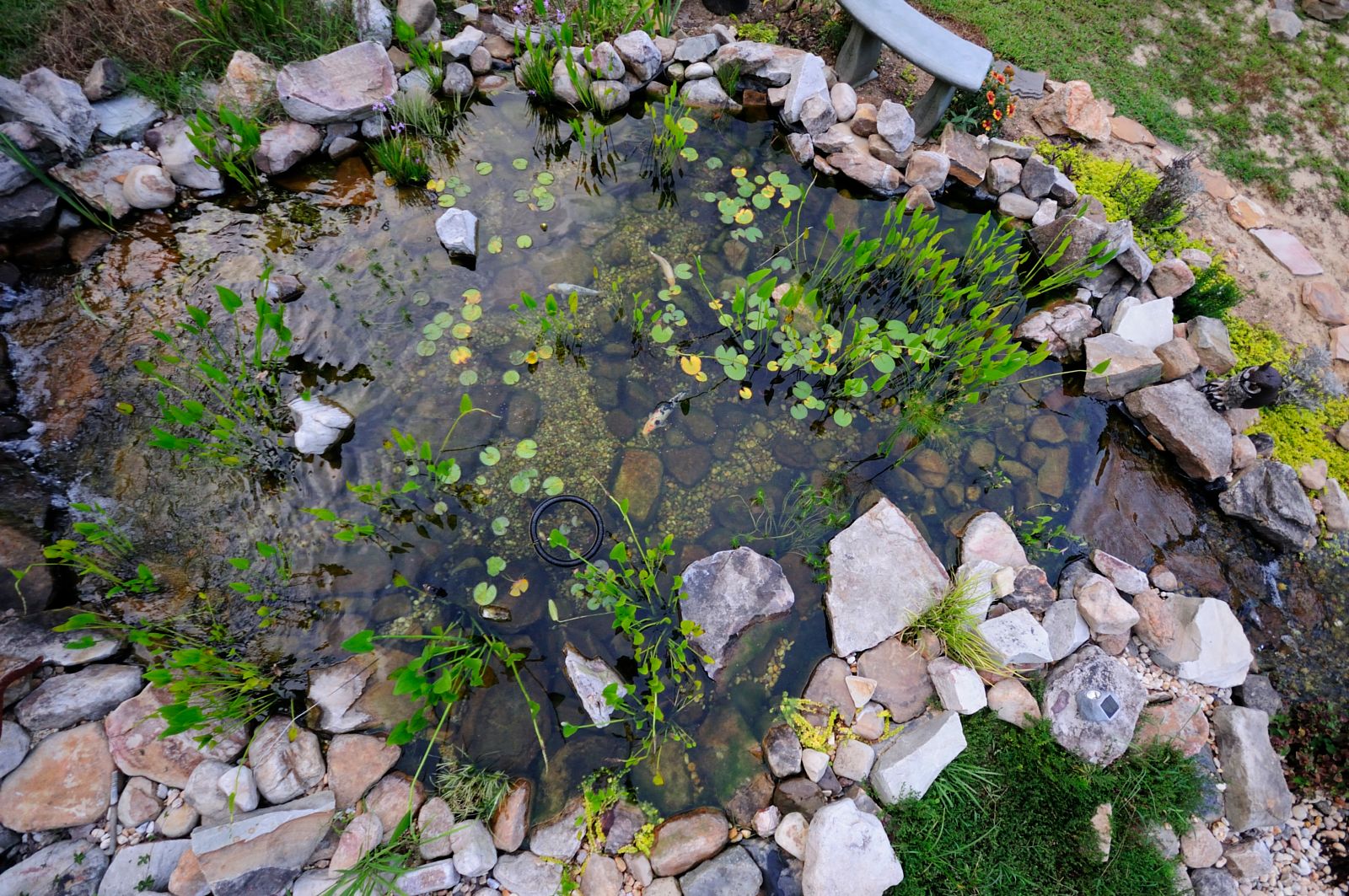
Pond - Aerial View

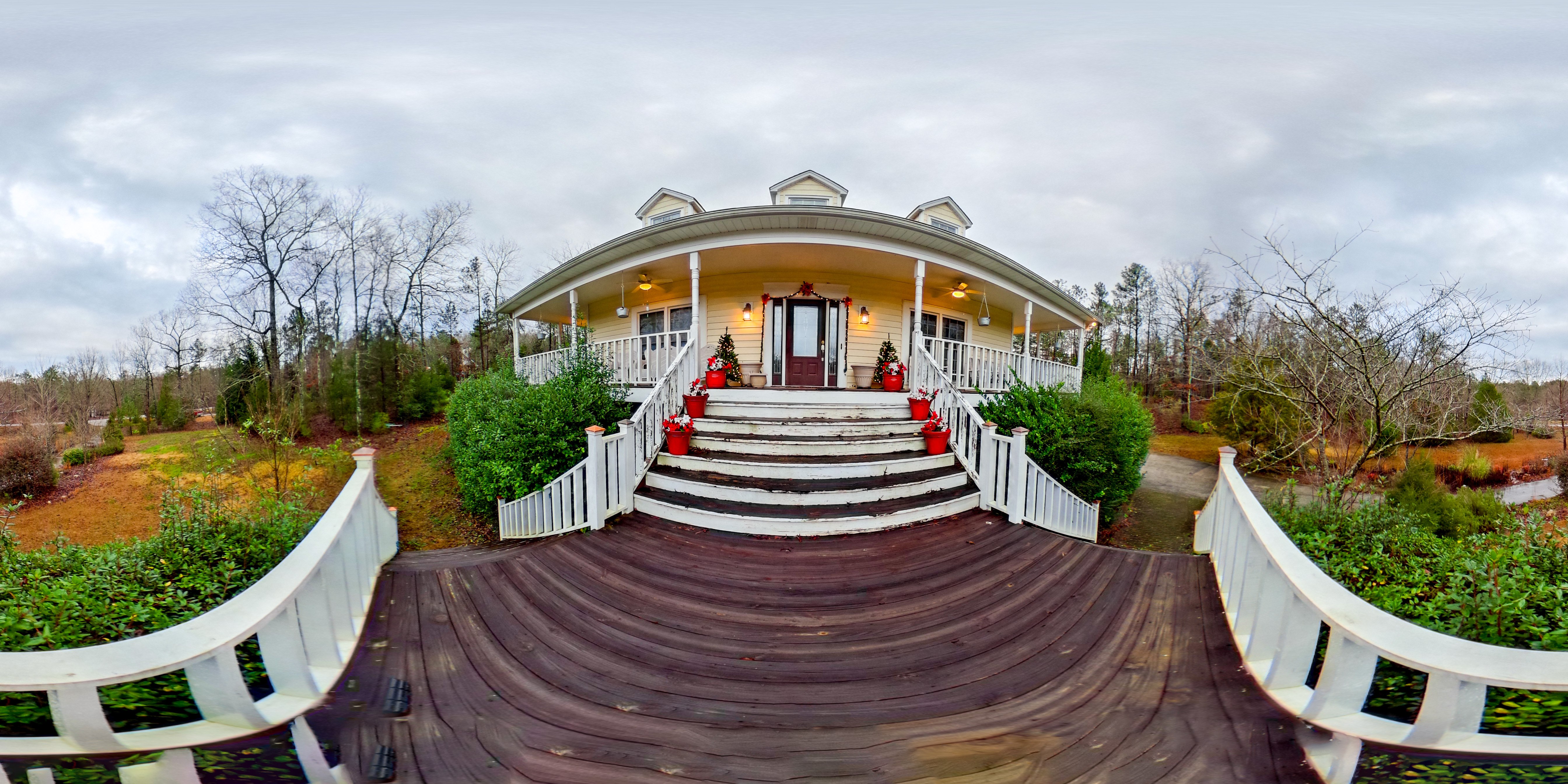
Presidents House Univ of Montevallo
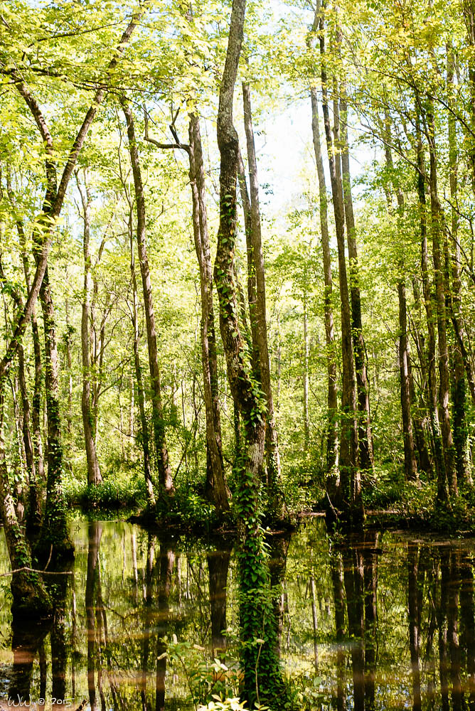
Ebenezer Swamp
Montevallo, Al

Montevallo, Alabama

Montevallo, Alabama
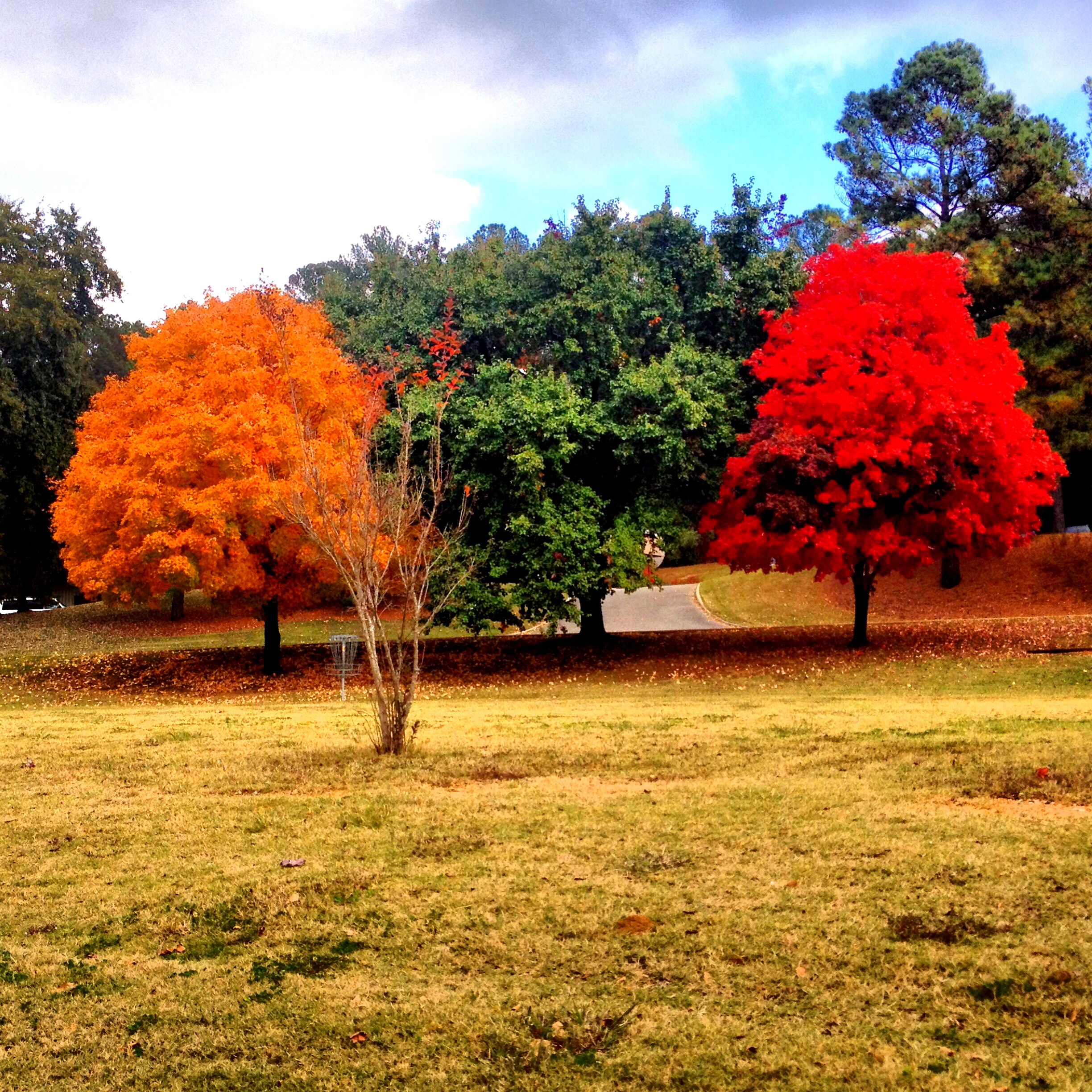
Stoplight Trees

Montevallo, Alabama
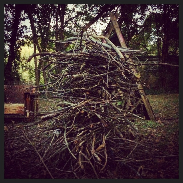
#stackofsticks #stickpile #fixintobe #pyrofix #readytoburn #crazyfire #howhighcanyougo #pyrohighs #pyrolows
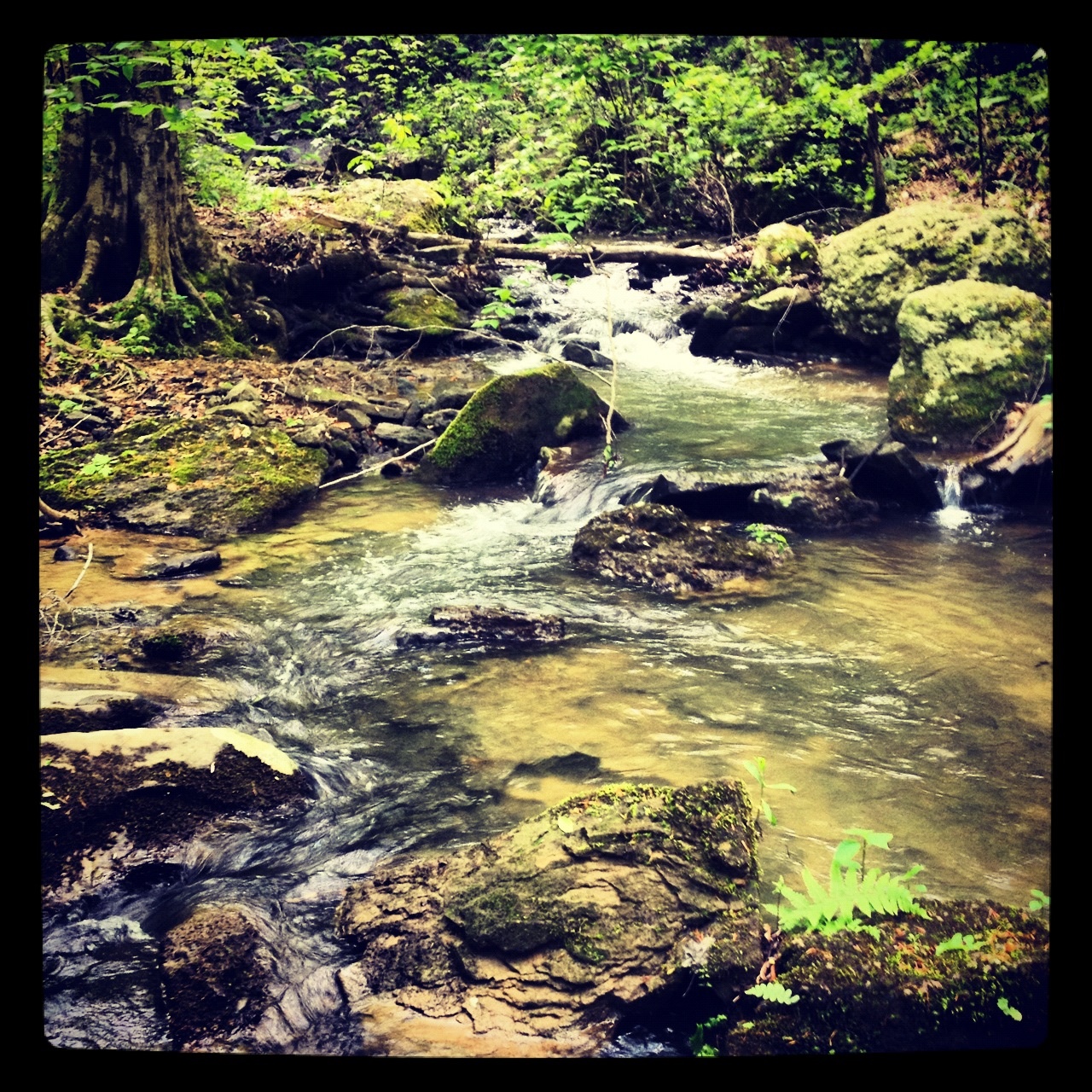
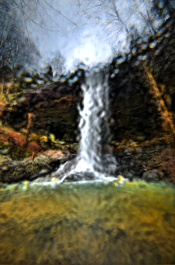
Wet Rocks
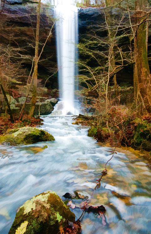
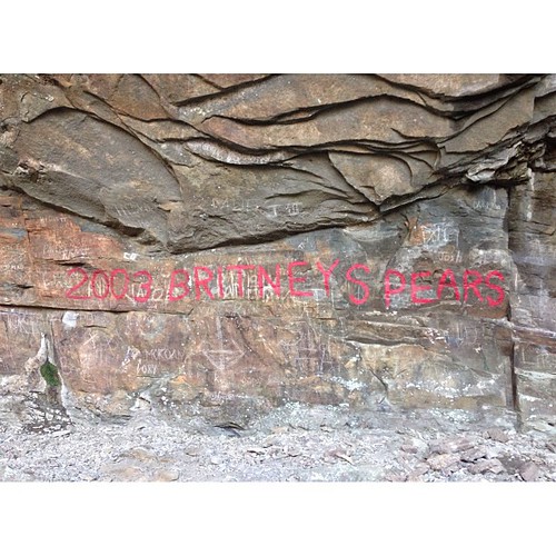
High Rock Falls - Topazed
American Village Montevallo, Al "The citizenship Trust" 2009 May14
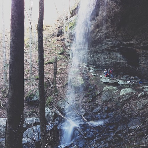
The gracias teens that let me tag along for the hike to the fall. #latergram

#foundheart #mossheart #bryophyte ~ possibly #Hypnumimponens ~ #blackwalnut #Juglansnigra #nativeplant #nativespecies #wildalabama
Wet Filter

An unexpected visitor
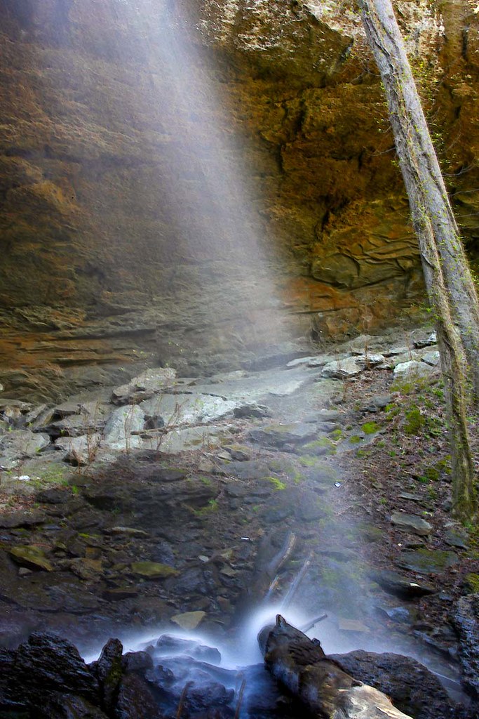
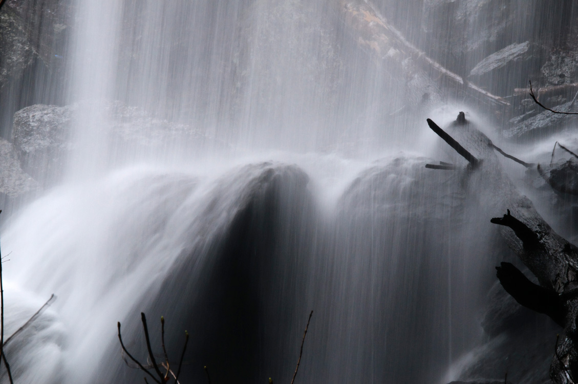
Falling Rock Falls
Falling Rock Falls

Montevallo, Alabama
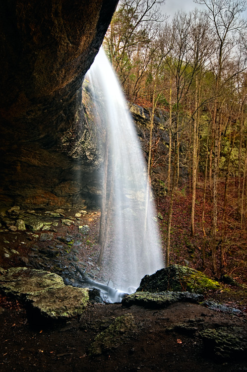
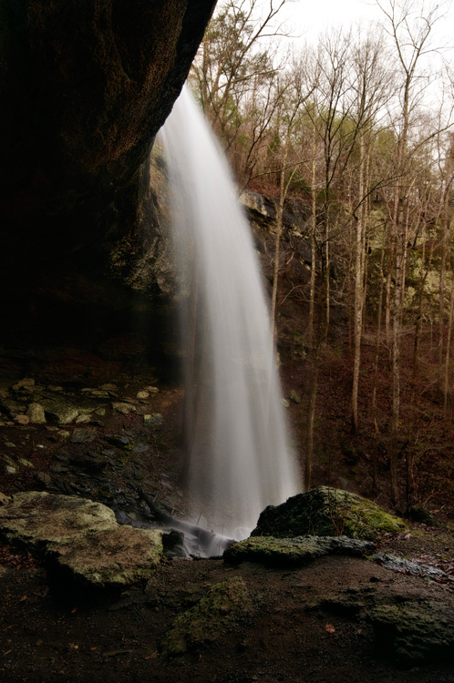
Falling Rock Falls - Redux
So that those who come behind us know the good years.
2010 01 18_002
Topographic Map of Calera, AL, USA
Find elevation by address:

Places in Calera, AL, USA:
US-31, Calera, AL, USA
Co Rd, Calera, AL, USA
Co Rd 42, Calera, AL, USA
AL-25, Calera, AL, USA
Co Rd 86, Calera, AL, USA
Oak Tree Ln, Calera, AL, USA
Places near Calera, AL, USA:
1825 21st Ave
600 Foundry Rd
157 Camden Cove Pkwy
6331 Us-31
US-31, Calera, AL, USA
Co Rd, Calera, AL, USA
AL-25, Calera, AL, USA
Calera Middle School
7055 Al-25
7055 Al-25
Oak Tree Ln, Calera, AL, USA
Co Rd 89, Montevallo, AL, USA
Co Rd 86, Calera, AL, USA
Co Rd 42, Calera, AL, USA
Meadowgreen Dr, Montevallo, AL, USA
102 Meadowgreen Rd
319 Fran Dr
Fulton Springs Rd, Alabaster, AL, USA
Butler Rd, Alabaster, AL, USA
Thompson High School
Recent Searches:
- Elevation of Corso Fratelli Cairoli, 35, Macerata MC, Italy
- Elevation of Tallevast Rd, Sarasota, FL, USA
- Elevation of 4th St E, Sonoma, CA, USA
- Elevation of Black Hollow Rd, Pennsdale, PA, USA
- Elevation of Oakland Ave, Williamsport, PA, USA
- Elevation of Pedrógão Grande, Portugal
- Elevation of Klee Dr, Martinsburg, WV, USA
- Elevation of Via Roma, Pieranica CR, Italy
- Elevation of Tavkvetili Mountain, Georgia
- Elevation of Hartfords Bluff Cir, Mt Pleasant, SC, USA