Elevation of Co Rd 55, Wilsonville, AL, USA
Location: United States > Alabama > Shelby County > Wilsonville >
Longitude: -86.553570
Latitude: 33.2494514
Elevation: 144m / 472feet
Barometric Pressure: 100KPa
Elevation Map:
Satellite Map:
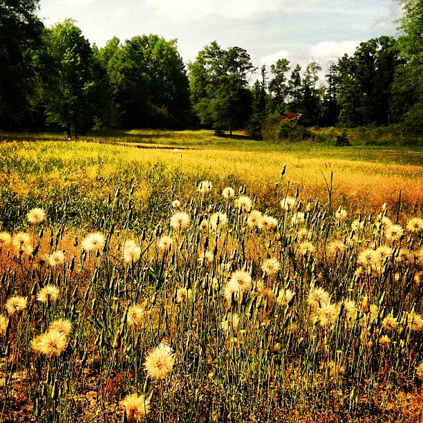
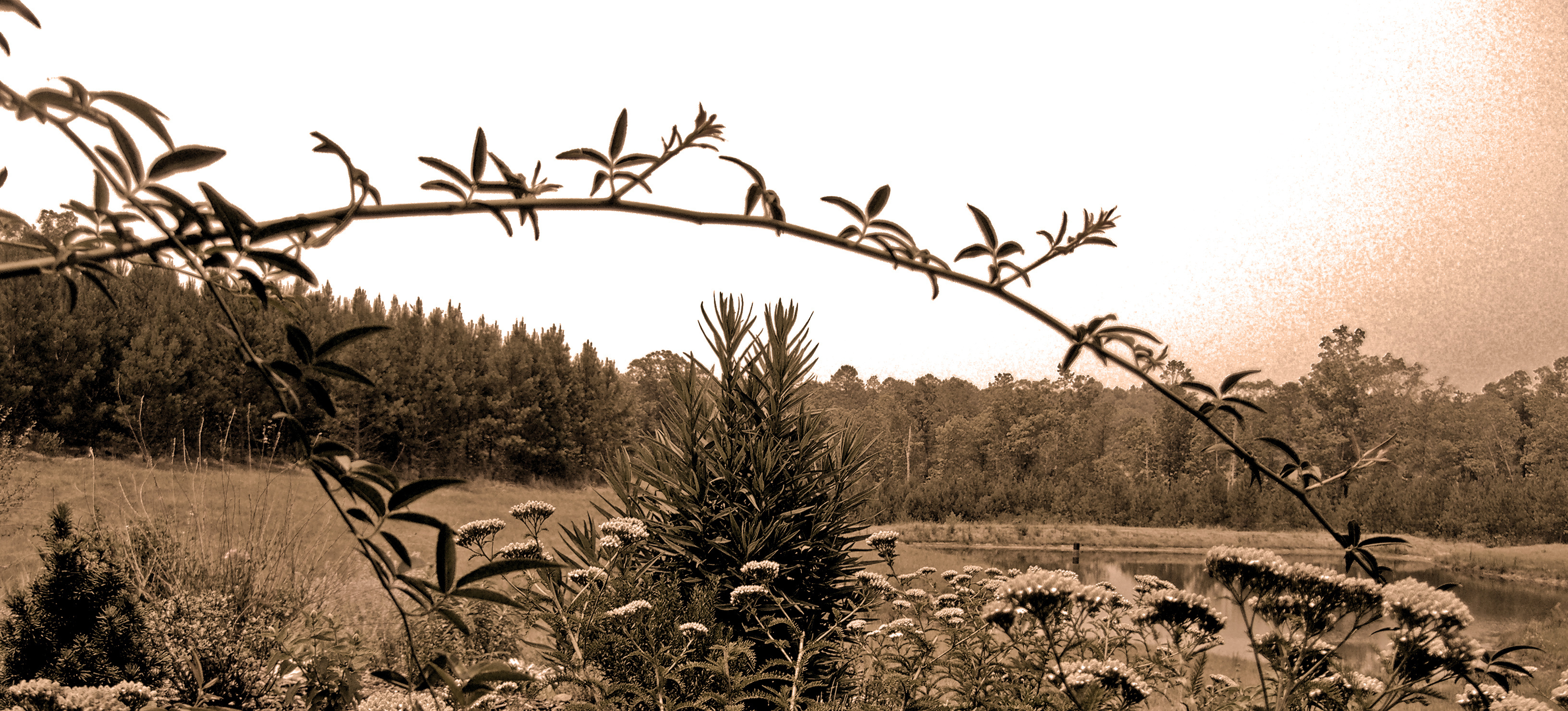
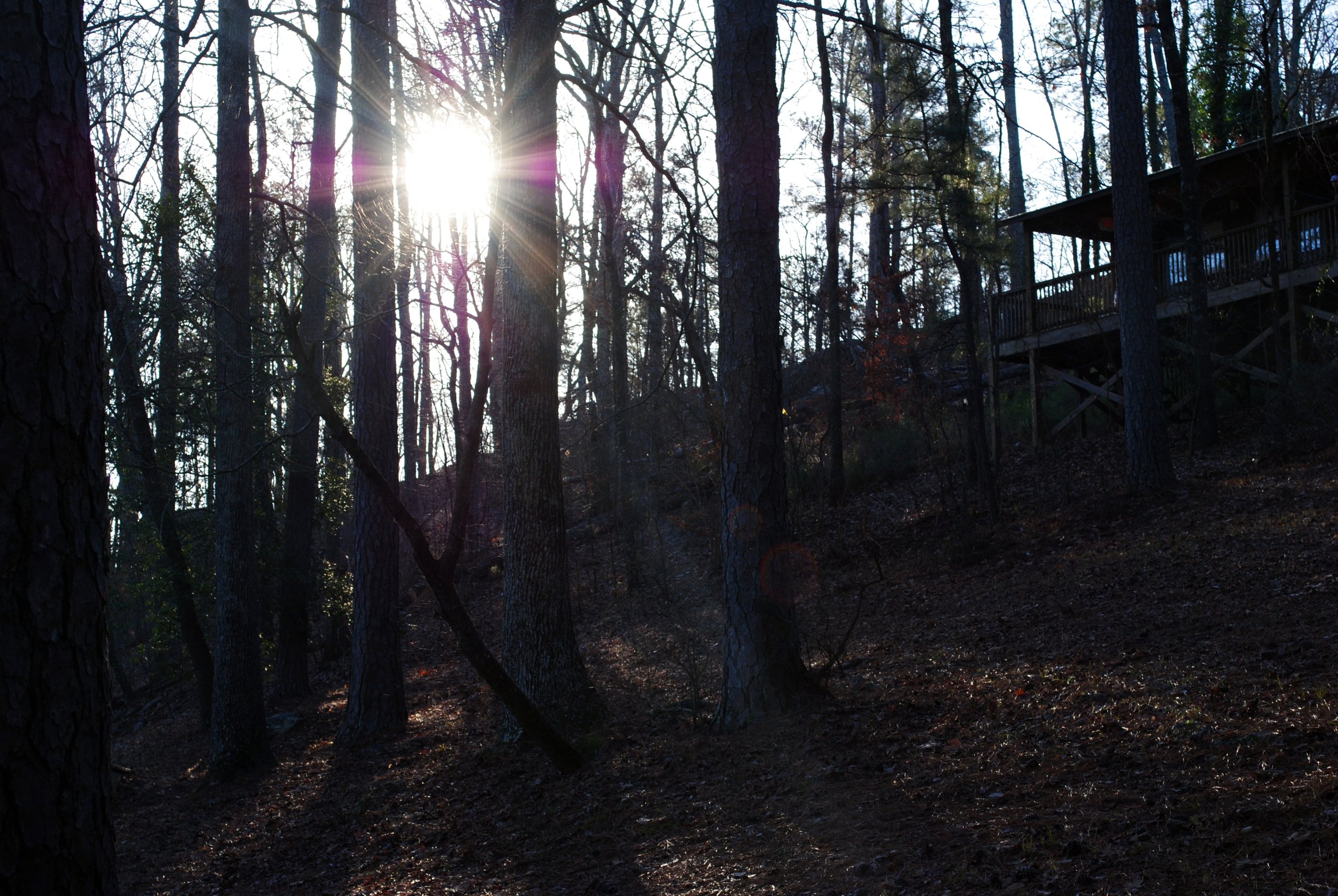
Related Photos:

Horrified!
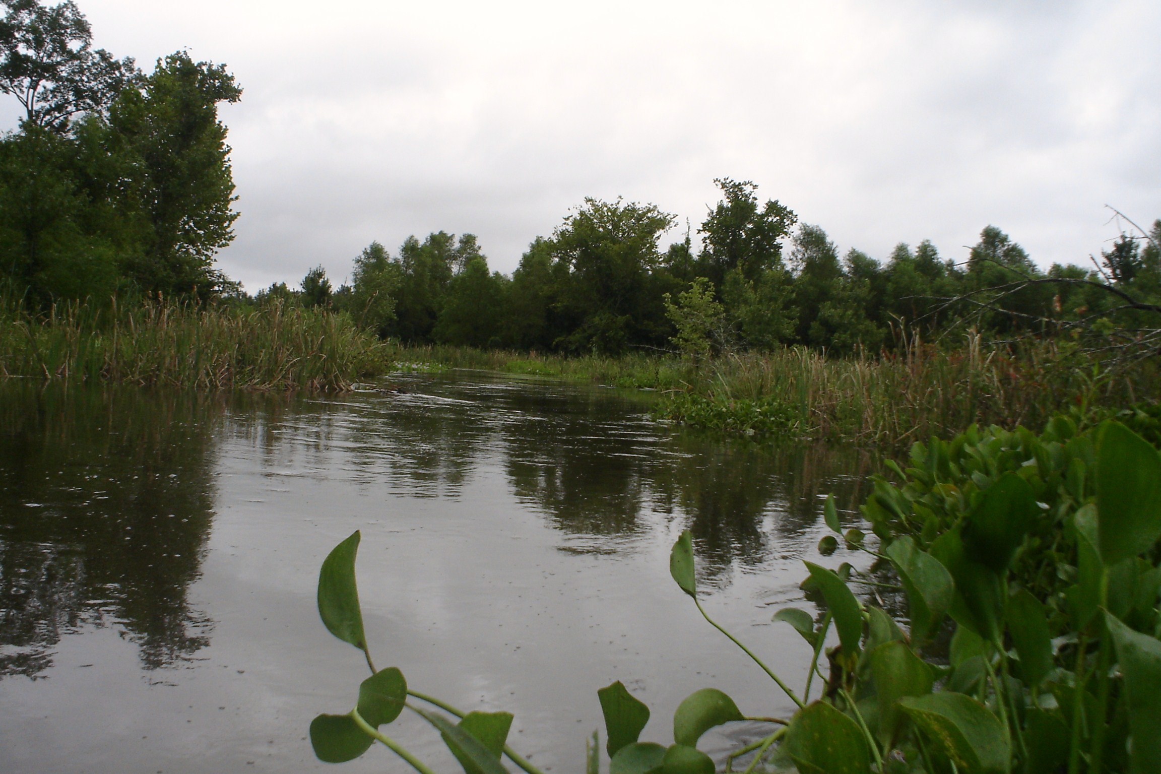
Swolen Creek North View
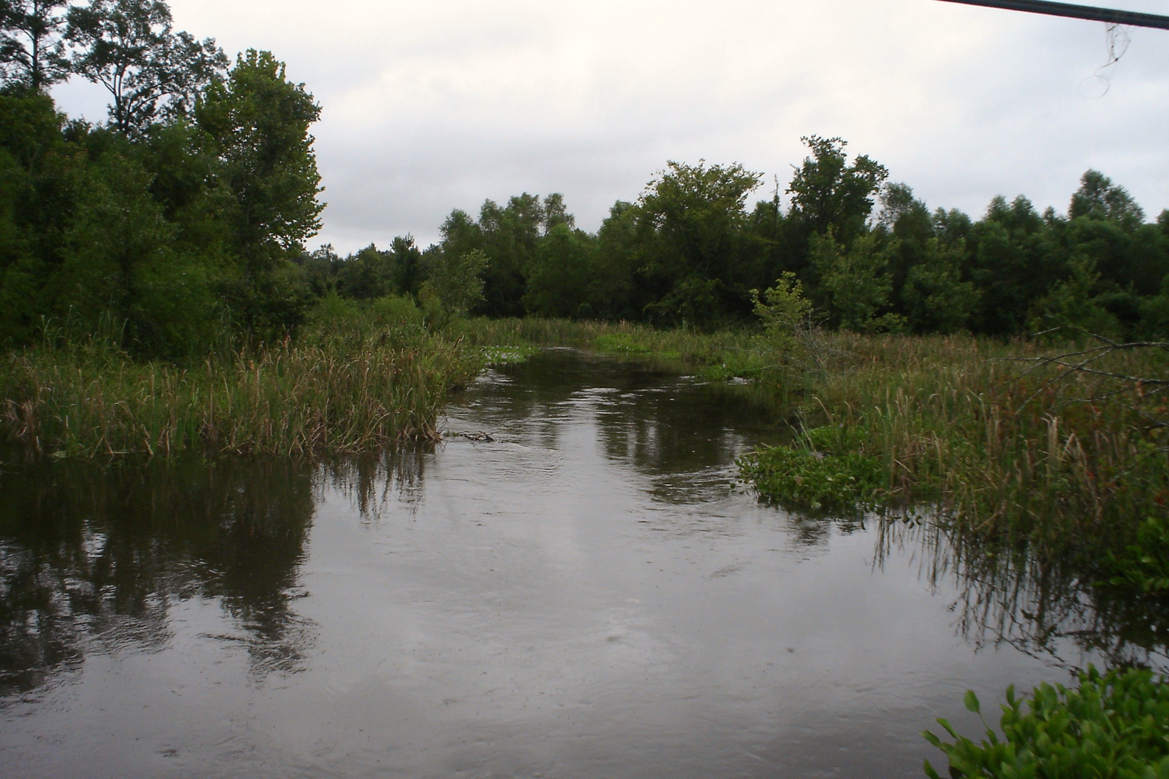
Swolen Creek South View

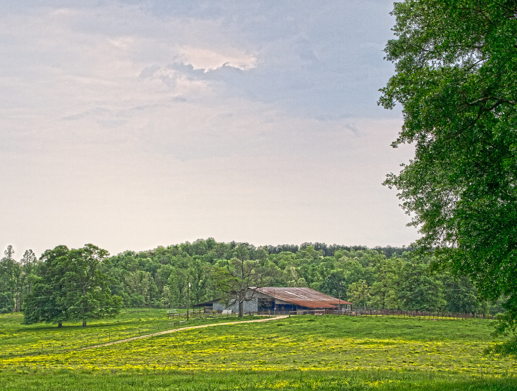
Beautiful View from Hargis
Bad Weather Moves In On an Alabama Spring Morning
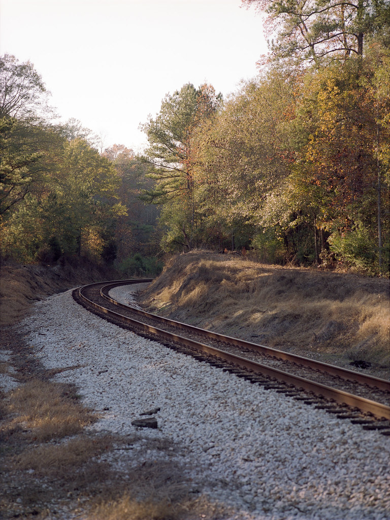
So Far Around the Bend

High Falls - Talladega National Forest #waterfall #nature #highfalls #talladeganationalforest #talladega #forest #woods
Distant red shack #Seed preps for takeoff

Jackson rides the wake board on a beautiful early evening. @darinmiller

Caught in the Glow

2010-03-07 RlyX at SBRP

2010-03-07 RlyX at SBRP
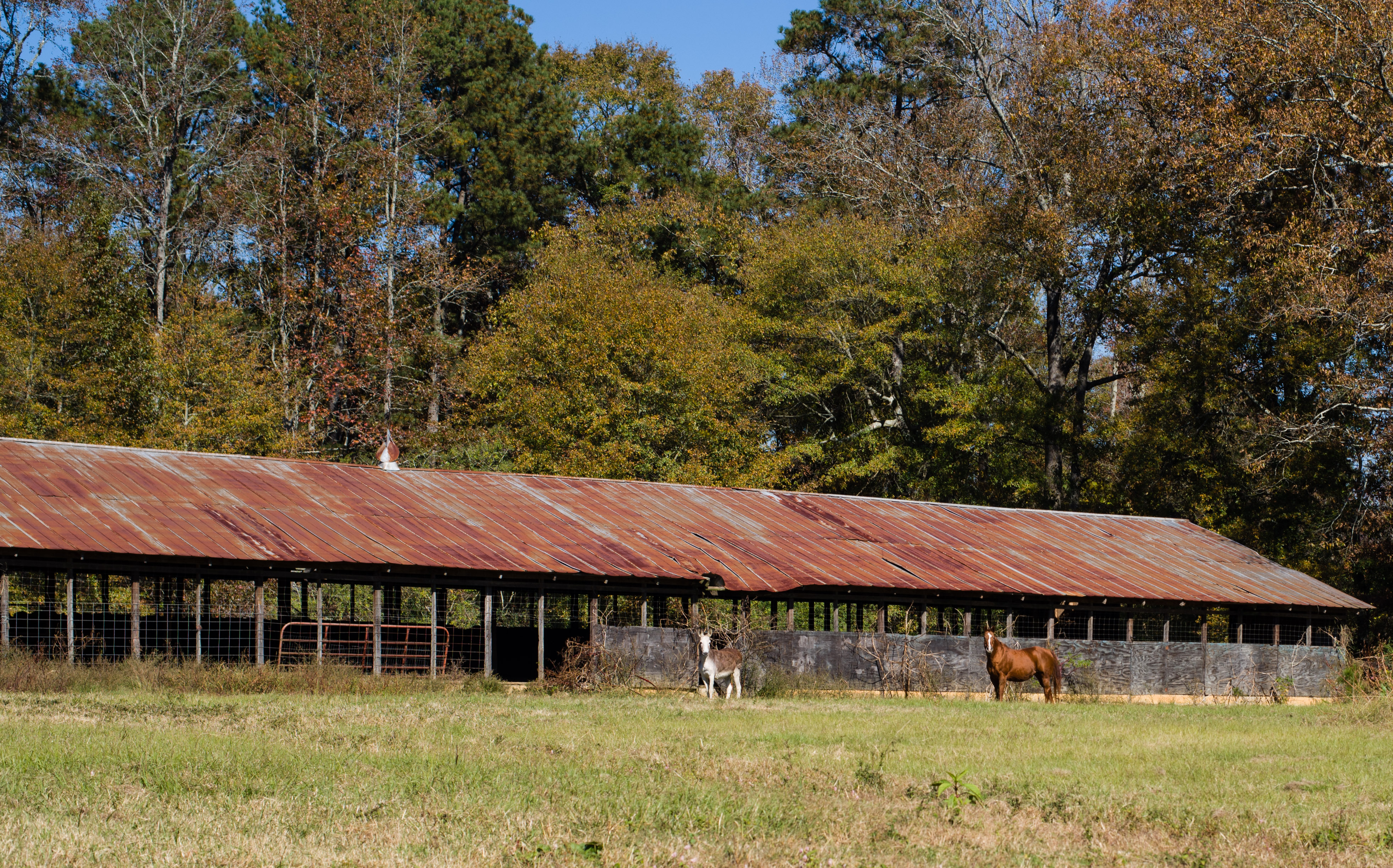
Chicken Coop

2010-03-07 RlyX at SBRP
Fighting for Skyline

2010-03-07 RlyX at SBRP

2010-03-07 RlyX at SBRP
Sun.

sunset 6

sunset 2

Friday sunset
Test shot with new Sigma 150-500 f5-6.3 APO DG OS
Topographic Map of Co Rd 55, Wilsonville, AL, USA
Find elevation by address:

Places near Co Rd 55, Wilsonville, AL, USA:
Red Maple Dr, Columbiana, AL, USA
Chelsea Park Elementary School
1068 Kingston Rd
Chelsea
Shelby County
Lime Creek Lane
100 Hunter Hills Dr
Joinertown Rd, Columbiana, AL, USA
120 Brynleigh Dr
157 Chelsea Station Drive
1067 Highland Park Pl
136 Sheffield Ln
Ebsco Industries, Inc
Crest Road
591 Deer Run Rd
322 Kilkerran Ln
380 Kilkerran Ln
216 Kilkerran Ln
104 Kilkerran Ln
1444 Stoneykirk Rd
Recent Searches:
- Elevation of Zimmer Trail, Pennsylvania, USA
- Elevation of 87 Kilmartin Ave, Bristol, CT, USA
- Elevation of Honghe National Nature Reserve, QP95+PJP, Tongjiang, Heilongjiang, Jiamusi, Heilongjiang, China
- Elevation of Hercules Dr, Colorado Springs, CO, USA
- Elevation of Szlak pieszy czarny, Poland
- Elevation of Griffing Blvd, Biscayne Park, FL, USA
- Elevation of Kreuzburger Weg 13, Düsseldorf, Germany
- Elevation of Gateway Blvd SE, Canton, OH, USA
- Elevation of East W.T. Harris Boulevard, E W.T. Harris Blvd, Charlotte, NC, USA
- Elevation of West Sugar Creek, Charlotte, NC, USA