Elevation of Hollis High School, N Main St, Hollis, OK, USA
Location: United States > Oklahoma > Hollis >
Longitude: -99.918047
Latitude: 34.6854833
Elevation: -10000m / -32808feet
Barometric Pressure: 295KPa
Elevation Map:
Satellite Map:
Related Photos:

South of Hollis Oklahoma

South Of Hollis Oklahoma

2012-04-14_8313

Hollis Cemetery

Hollis Oklahoma
Hollis Oklahoma

Hollis Oklahoma

Hollis Oklahoma

Harmon County Courthouse (Hollis, Oklahoma)

Gould Oklahoma

Gould Community Building

Gould Community Building

Hollis Oklahoma

100th Meridian-GPS

100th Meridian-Oklahoma

Texas State Line
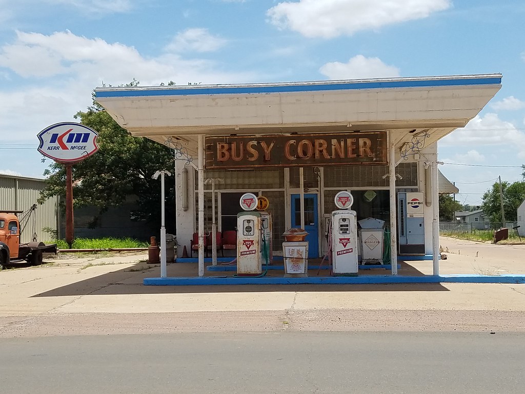
Busy Corner

Hollis - Empty Pool

Hollis - Empty Public Pool

Gould Cemetery (06)

Gould Cemetery (05)

Gould Cemetery (03)

Gould Cemetery (02)

Gould Cemetery (01)
Topographic Map of Hollis High School, N Main St, Hollis, OK, USA
Find elevation by address:

Places near Hollis High School, N Main St, Hollis, OK, USA:
Hollis
Farm to Market Rd, Dodson, TX, USA
Dodson
Childress County
1605 Childress St
Wellington
Goodlett
Childress
Estelline
Harper St, Estelline, TX, USA
Collingsworth County
Memphis
Cottle County
Hedley, TX, USA
13997 Tx-86
Paducah
Lakeview
Hall County
US-, Lelia Lake, TX, USA
Motley County
Recent Searches:
- Elevation of Congressional Dr, Stevensville, MD, USA
- Elevation of Bellview Rd, McLean, VA, USA
- Elevation of Stage Island Rd, Chatham, MA, USA
- Elevation of Shibuya Scramble Crossing, 21 Udagawacho, Shibuya City, Tokyo -, Japan
- Elevation of Jadagoniai, Kaunas District Municipality, Lithuania
- Elevation of Pagonija rock, Kranto 7-oji g. 8"N, Kaunas, Lithuania
- Elevation of Co Rd 87, Jamestown, CO, USA
- Elevation of Tenjo, Cundinamarca, Colombia
- Elevation of Côte-des-Neiges, Montreal, QC H4A 3J6, Canada
- Elevation of Bobcat Dr, Helena, MT, USA