Elevation of Estelline, TX, USA
Location: United States > Texas > Hall County >
Longitude: -100.43817
Latitude: 34.5467253
Elevation: 560m / 1837feet
Barometric Pressure: 95KPa
Elevation Map:
Satellite Map:
Related Photos:
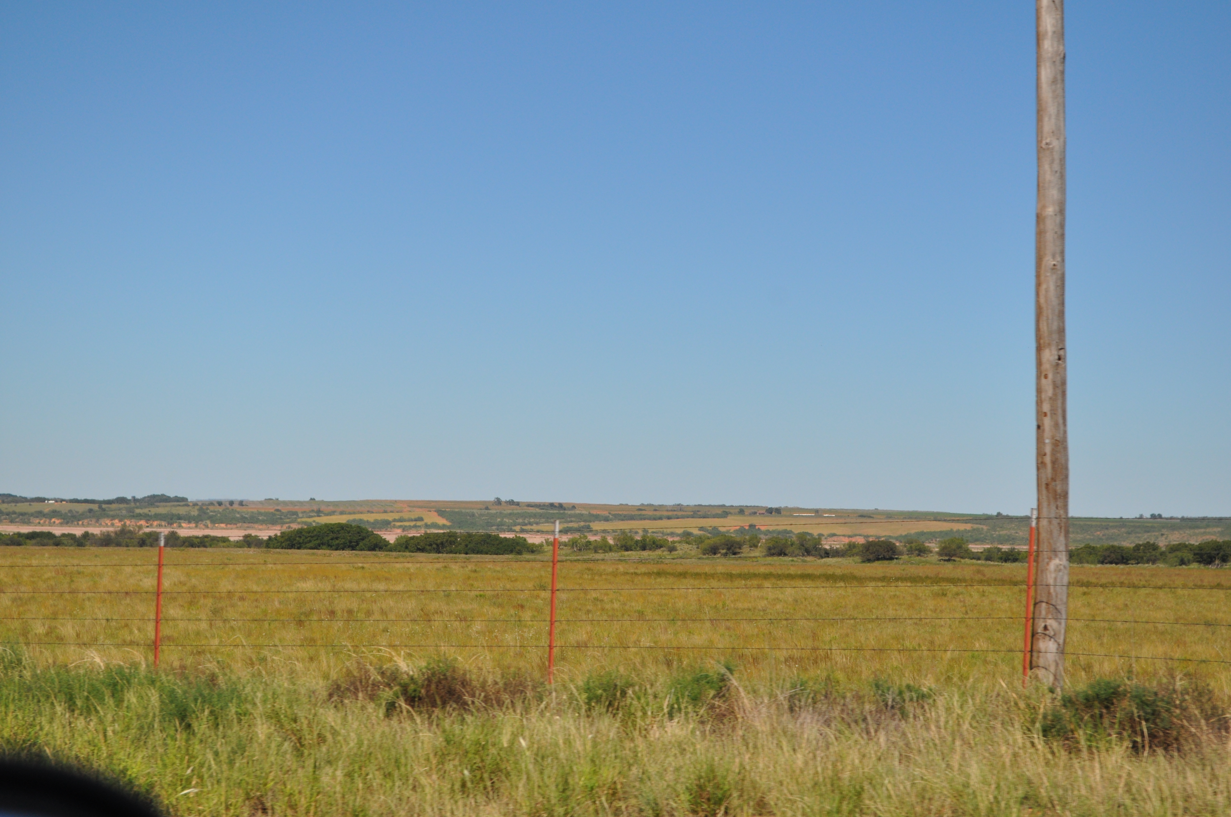
Rural Texas (45)
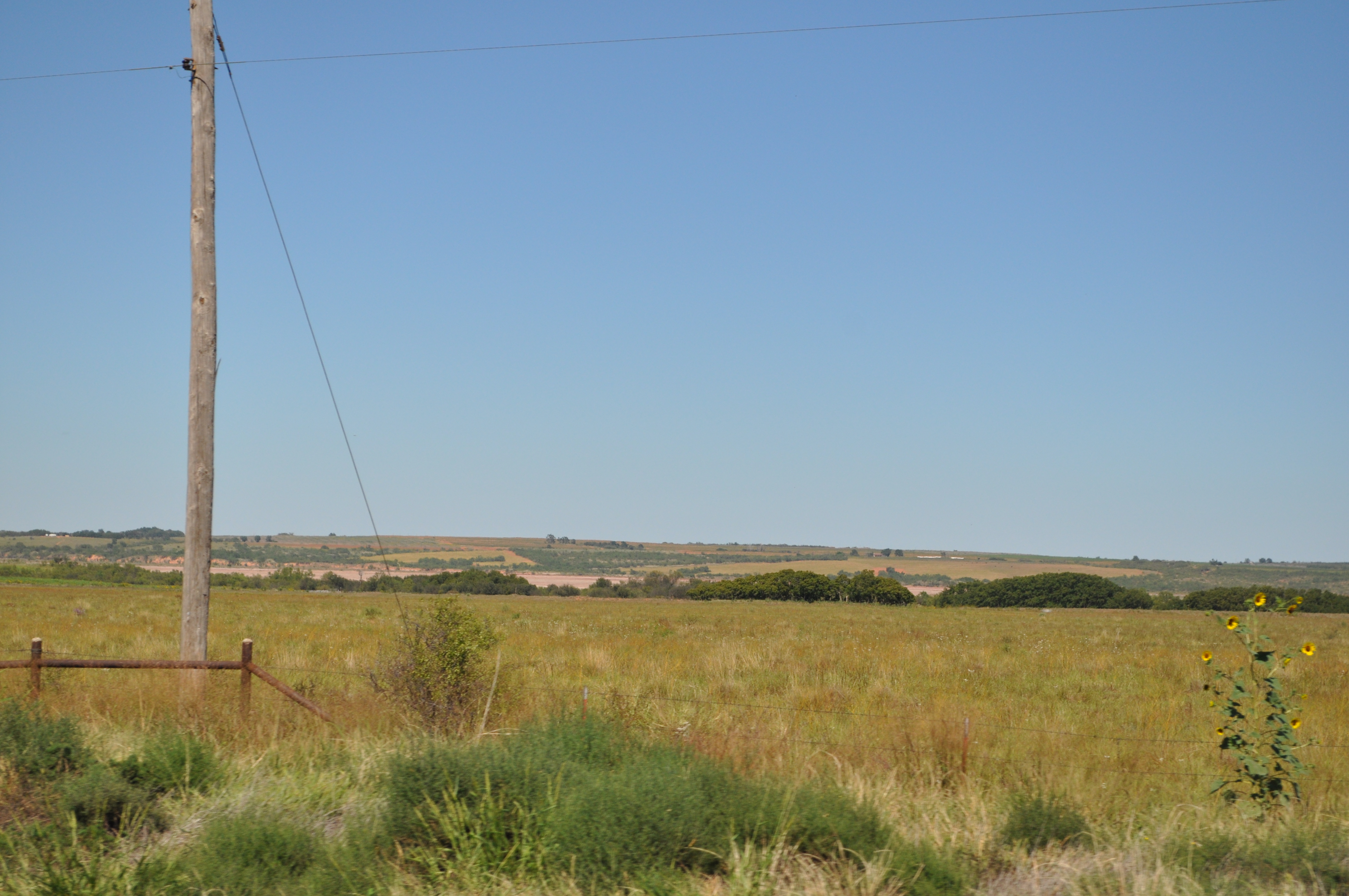
Rural Texas (46)
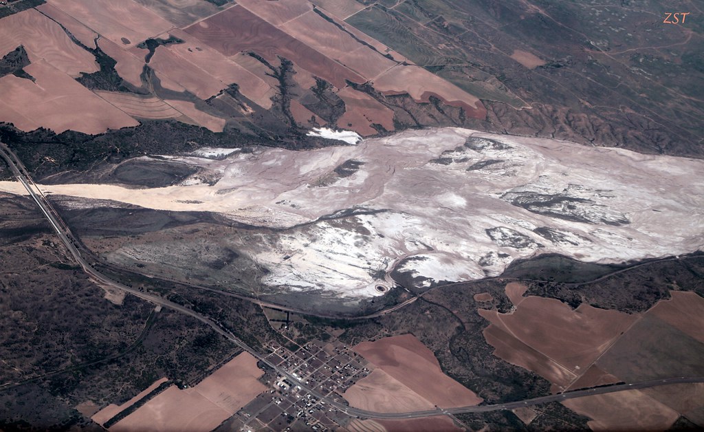
Red River & Estelline, TX

Dendritic Drainage into the Red River

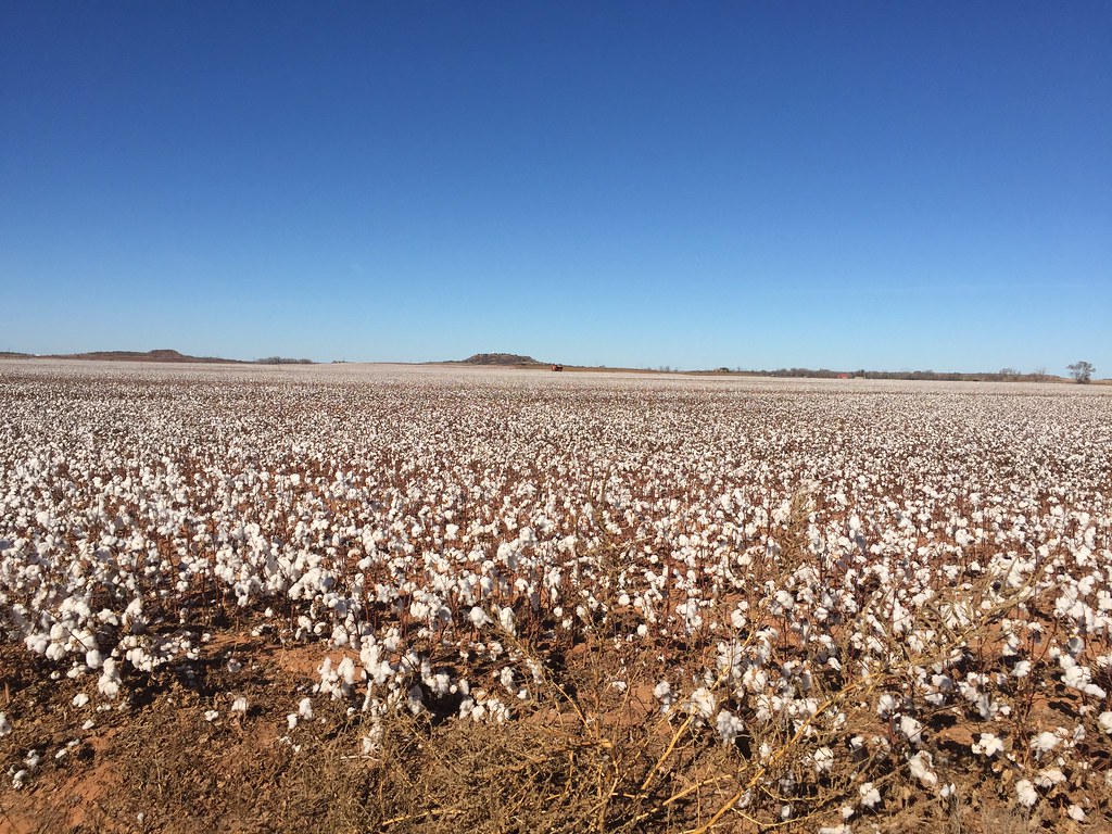
Rural Texas (44)

Grassy Sunrise
Roadside pit stop

20140420-IMG_4434

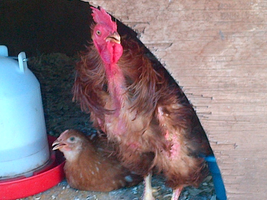
Ziggy joins chicks hatched during this last week.
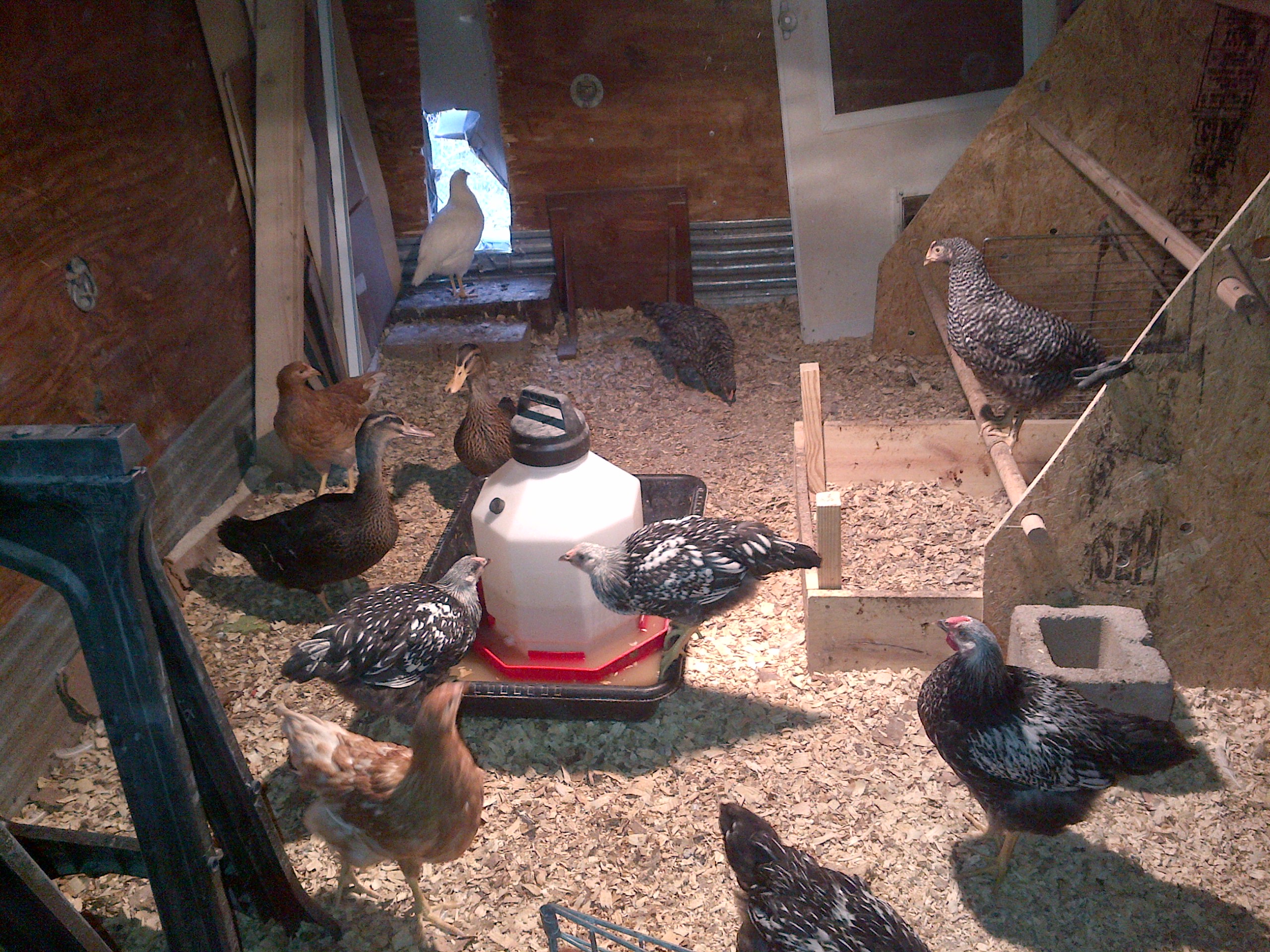
Inside the Chicken House

Estelline-20140601-00187

Estelline-20140601-00184

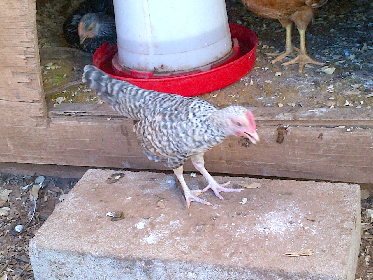
Named this one Robin, because she doesn't look like a chicken
Charity Case Charlie
Sylvia; My Smallest Banty

Penny, A Bantam Cochin

My Guinea Chicks, Pearl and Pet
Topographic Map of Estelline, TX, USA
Find elevation by address:

Places in Estelline, TX, USA:
Places near Estelline, TX, USA:
Harper St, Estelline, TX, USA
13997 Tx-86
Memphis
Childress
Childress County
Hall County
Lakeview
Hedley, TX, USA
1605 Childress St
Wellington
Cottle County
Dodson
Farm to Market Rd, Dodson, TX, USA
US-, Lelia Lake, TX, USA
Collingsworth County
Motley County
Hollis High School
Hollis
Paducah
Clarendon
Recent Searches:
- Elevation of Corso Fratelli Cairoli, 35, Macerata MC, Italy
- Elevation of Tallevast Rd, Sarasota, FL, USA
- Elevation of 4th St E, Sonoma, CA, USA
- Elevation of Black Hollow Rd, Pennsdale, PA, USA
- Elevation of Oakland Ave, Williamsport, PA, USA
- Elevation of Pedrógão Grande, Portugal
- Elevation of Klee Dr, Martinsburg, WV, USA
- Elevation of Via Roma, Pieranica CR, Italy
- Elevation of Tavkvetili Mountain, Georgia
- Elevation of Hartfords Bluff Cir, Mt Pleasant, SC, USA