Elevation of Cottle County, TX, USA
Location: United States > Texas >
Longitude: -100.34978
Latitude: 34.159117
Elevation: 545m / 1788feet
Barometric Pressure: 95KPa
Elevation Map:
Satellite Map:
Related Photos:

Cee Vee

Cee Vee Church

left behind

2013-05-08_1780

12_Wild and Free 83_Aug 2019_Paducah_5

12_Wild and Free 83_Aug 2019_Paducah_6

Mule Deer Doe- Mother to twin fawns
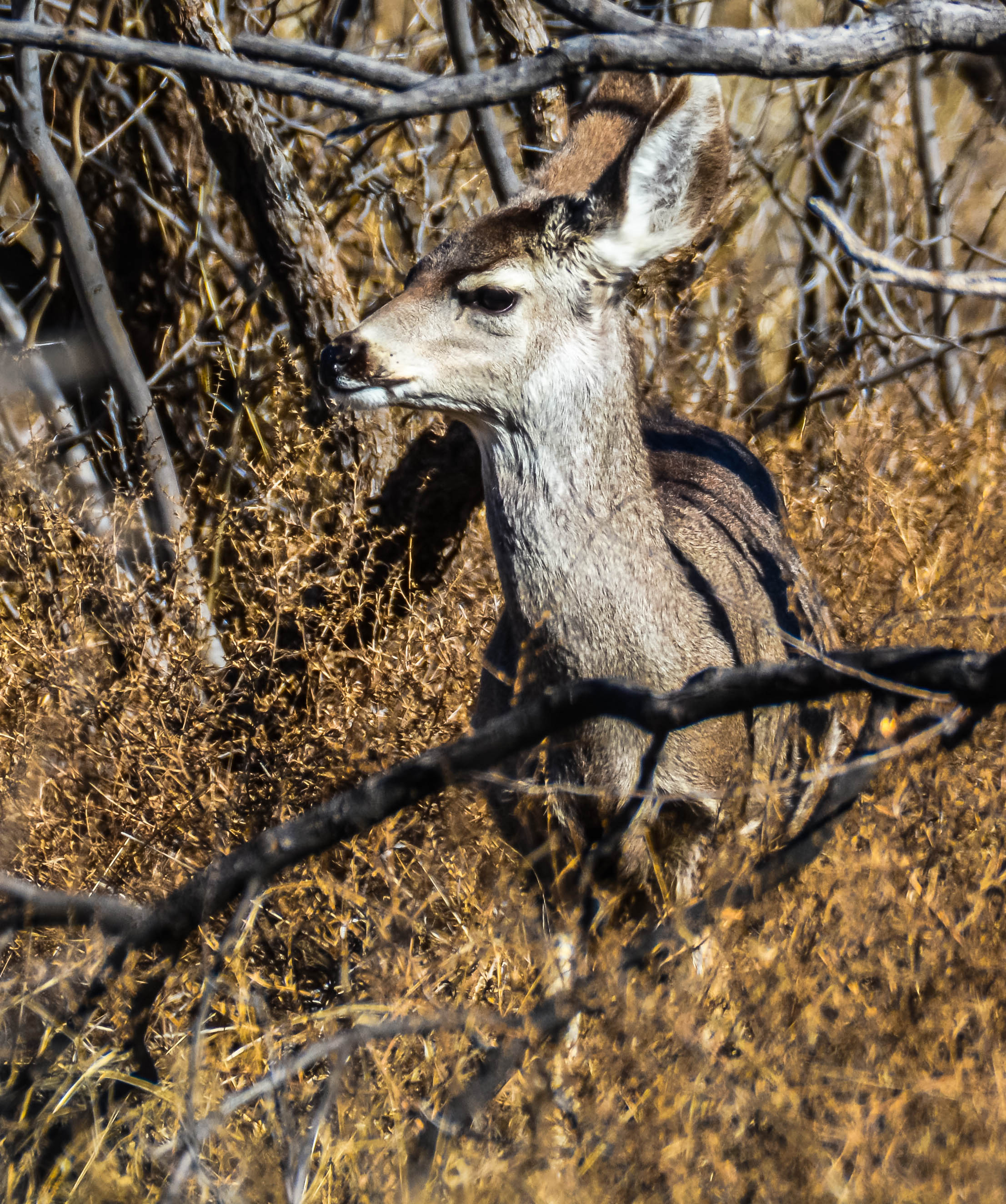
Mule Deer Yearling

Mule Deer Yearling

Open door policy
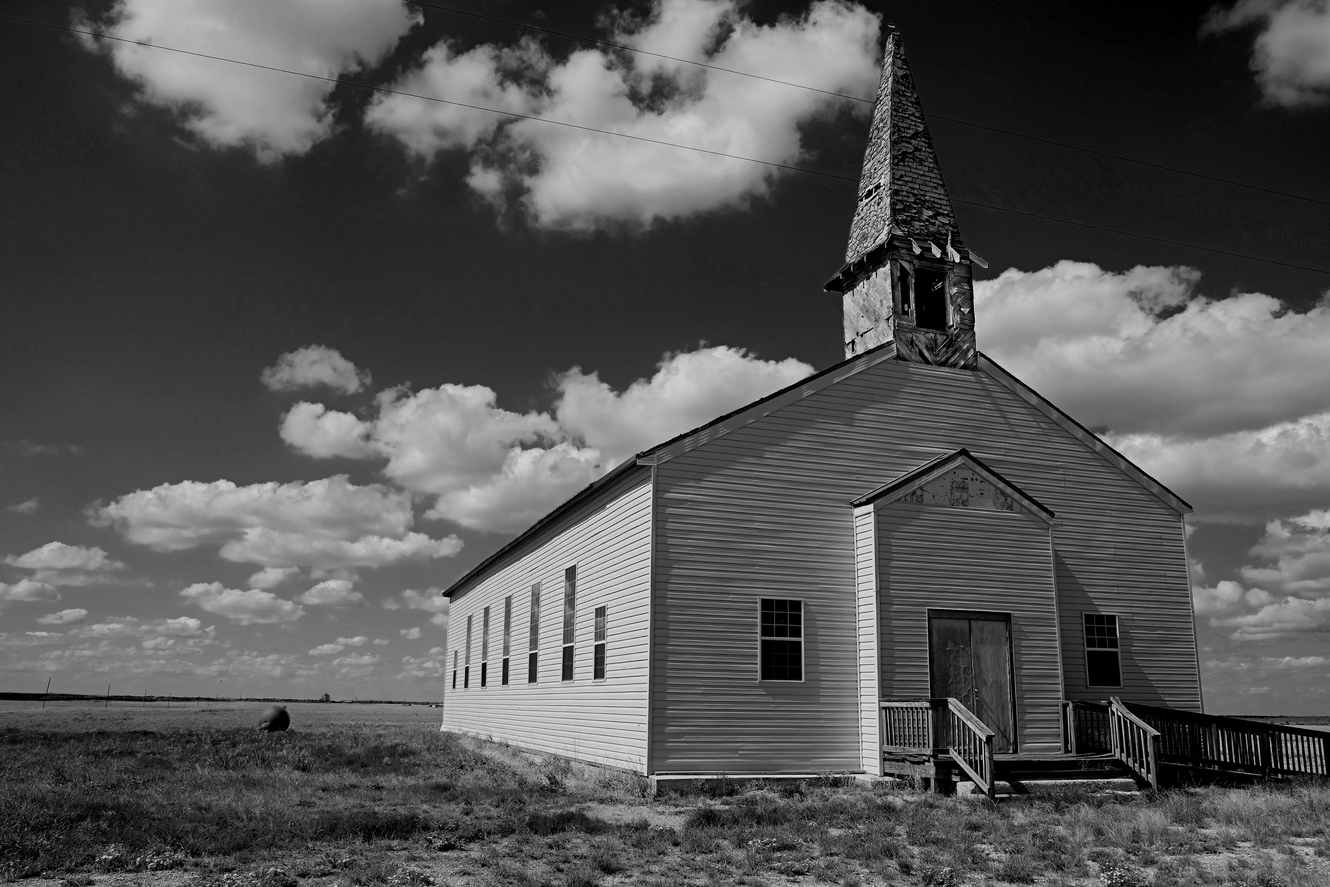
Abandoned Church, Cee Vee, Texas

Holy Night

Quanah, Acme & Pacific Depot (Paducah, Texas)

Storm Clouds over Matador Wildlife Management Area

Thunderhead over Matador Wildlife Management Area July 2001
Topographic Map of Cottle County, TX, USA
Find elevation by address:

Places in Cottle County, TX, USA:
Places near Cottle County, TX, USA:
Paducah
Childress
Motley County
Dumont
Harper St, Estelline, TX, USA
Estelline
Childress County
13997 Tx-86
Hall County
Matador
Main St, Matador, TX, USA
Motley County School District
Goodlett
Memphis
Lakeview
Hollis High School
Hollis
Dodson
Farm to Market Rd, Dodson, TX, USA
1605 Childress St
Recent Searches:
- Elevation of Congressional Dr, Stevensville, MD, USA
- Elevation of Bellview Rd, McLean, VA, USA
- Elevation of Stage Island Rd, Chatham, MA, USA
- Elevation of Shibuya Scramble Crossing, 21 Udagawacho, Shibuya City, Tokyo -, Japan
- Elevation of Jadagoniai, Kaunas District Municipality, Lithuania
- Elevation of Pagonija rock, Kranto 7-oji g. 8"N, Kaunas, Lithuania
- Elevation of Co Rd 87, Jamestown, CO, USA
- Elevation of Tenjo, Cundinamarca, Colombia
- Elevation of Côte-des-Neiges, Montreal, QC H4A 3J6, Canada
- Elevation of Bobcat Dr, Helena, MT, USA