Elevation of Hinokuchi-36 Kawashimachōgaku, Yoshinogawa-shi, Tokushima-ken -, Japan
Location: Japan > Tokushima Prefecture > Yoshinogawa >
Longitude: 134.294851
Latitude: 34.054055
Elevation: 36m / 118feet
Barometric Pressure: 101KPa
Elevation Map:
Satellite Map:
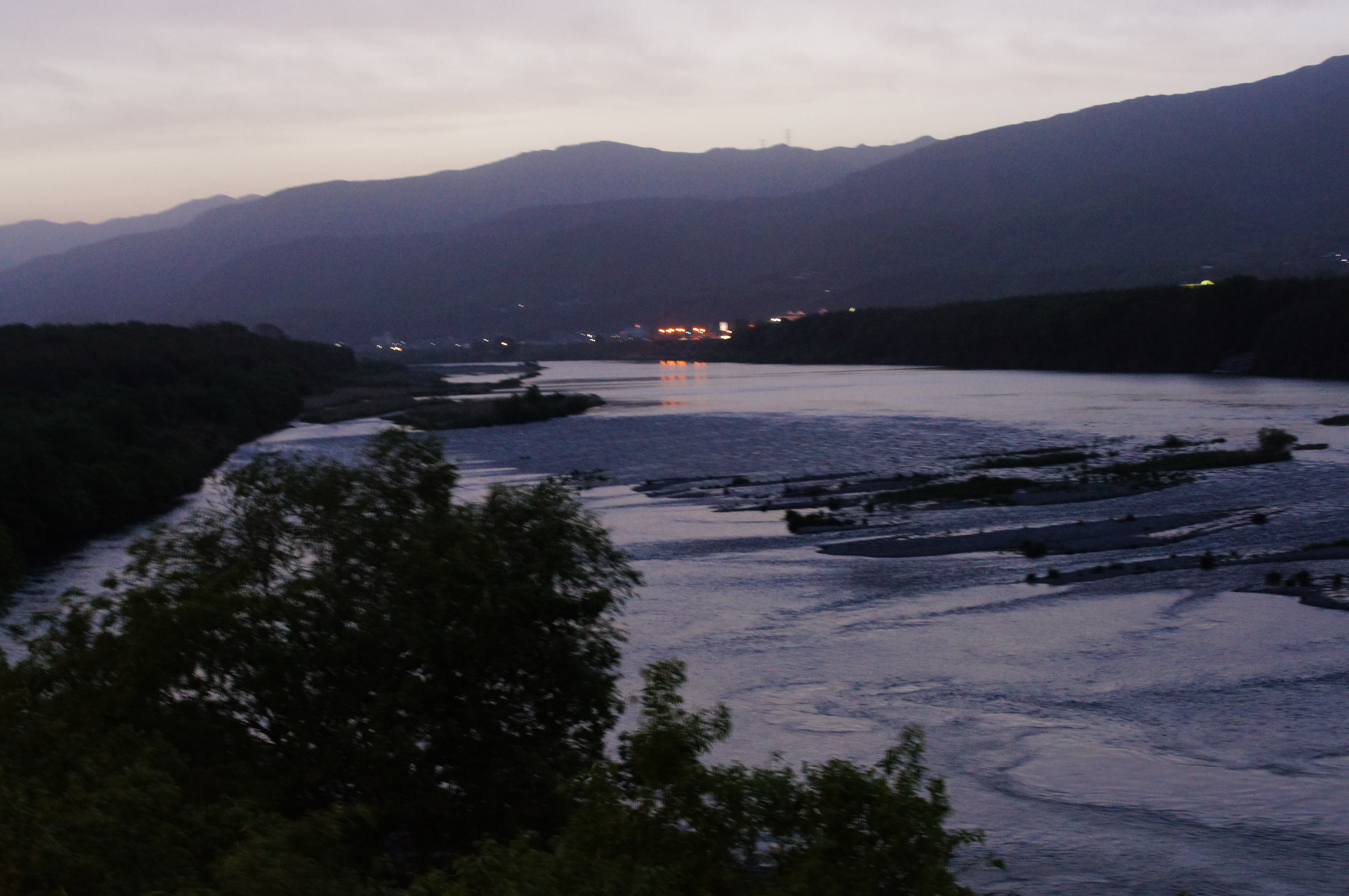
Related Photos:

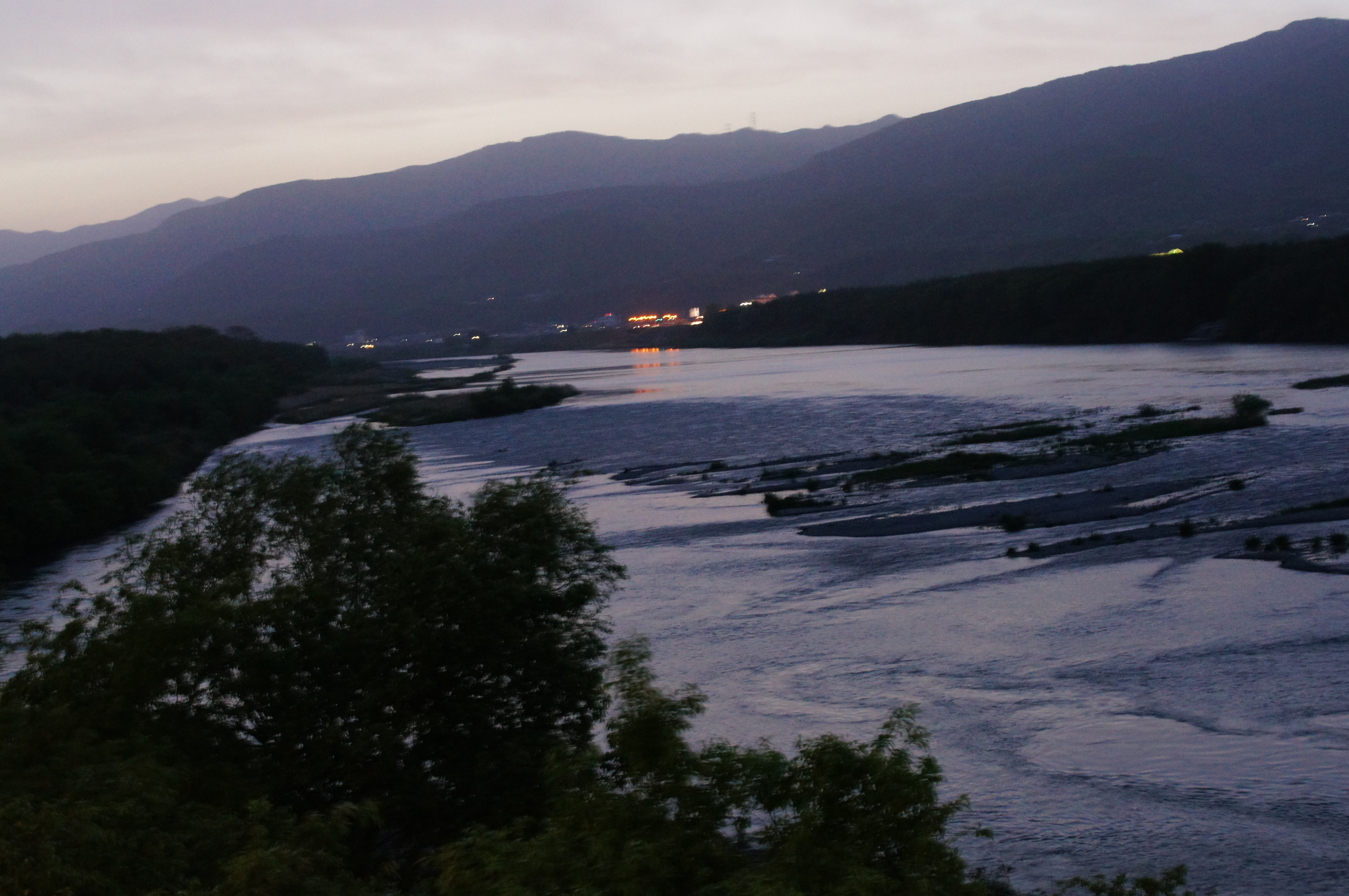
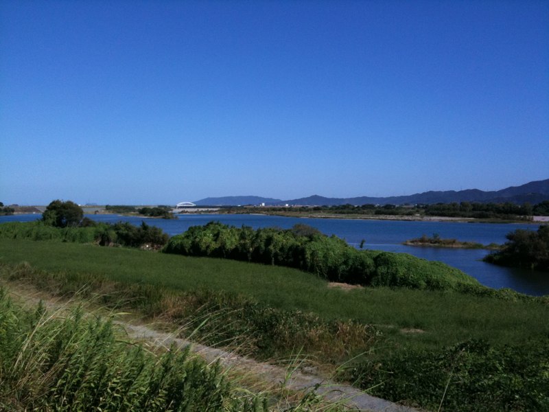
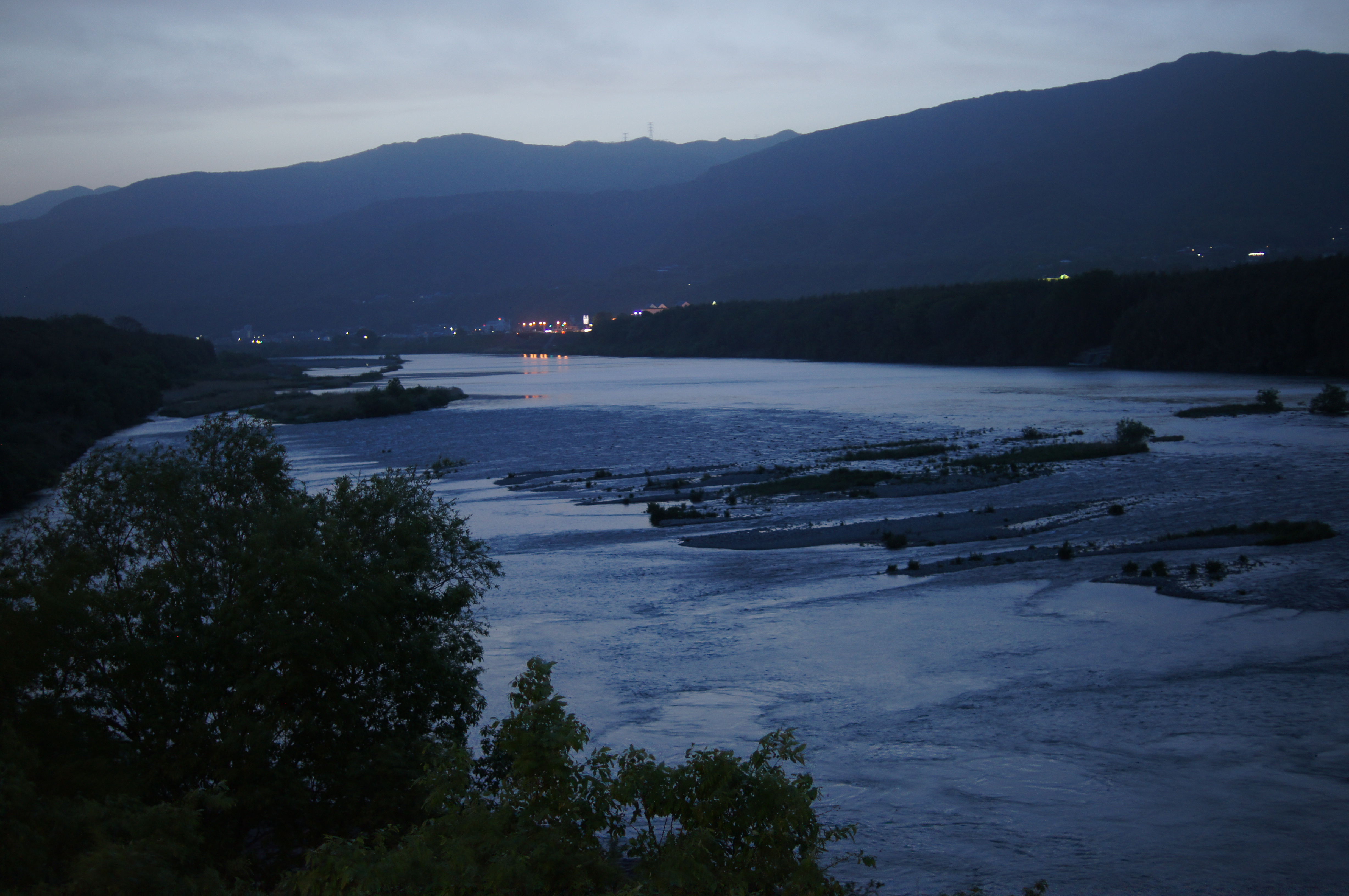
Yoshino river(吉野川)
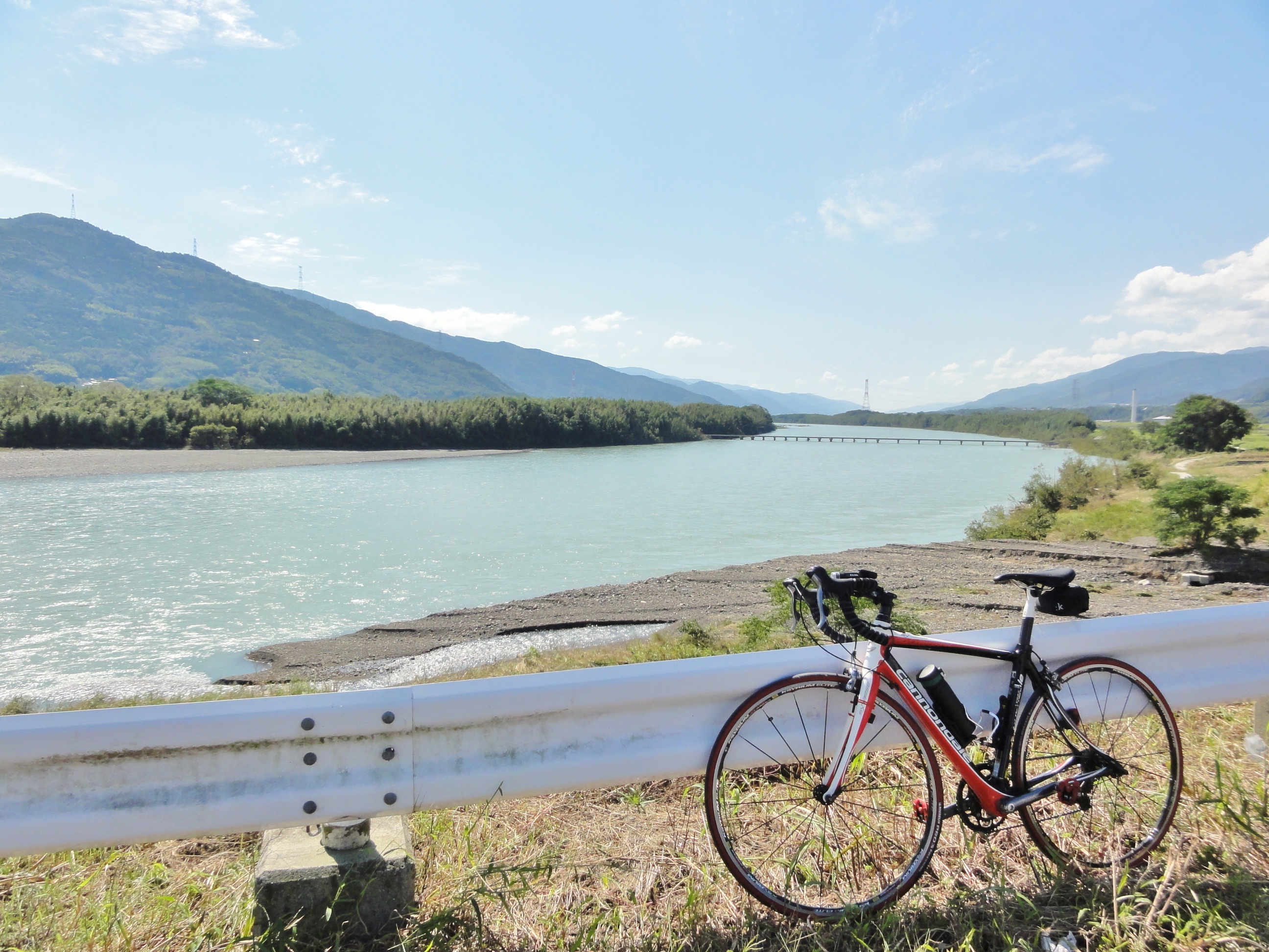
吉野川
DSC_0431 1
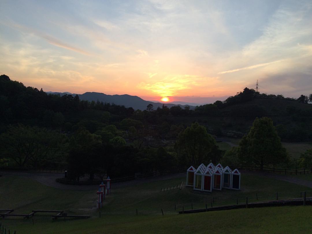
沈みゆく夕日。 #夕日 #夕陽 #サンセット #sunset

日の出 #sunrise
2013-09-01 11.02.17
2013-09-01 11.44.25
2013-09-01 11.44.18
DSC05227.JPG

なんか滝っぽくしてあった。
2013-09-01 11.44.23
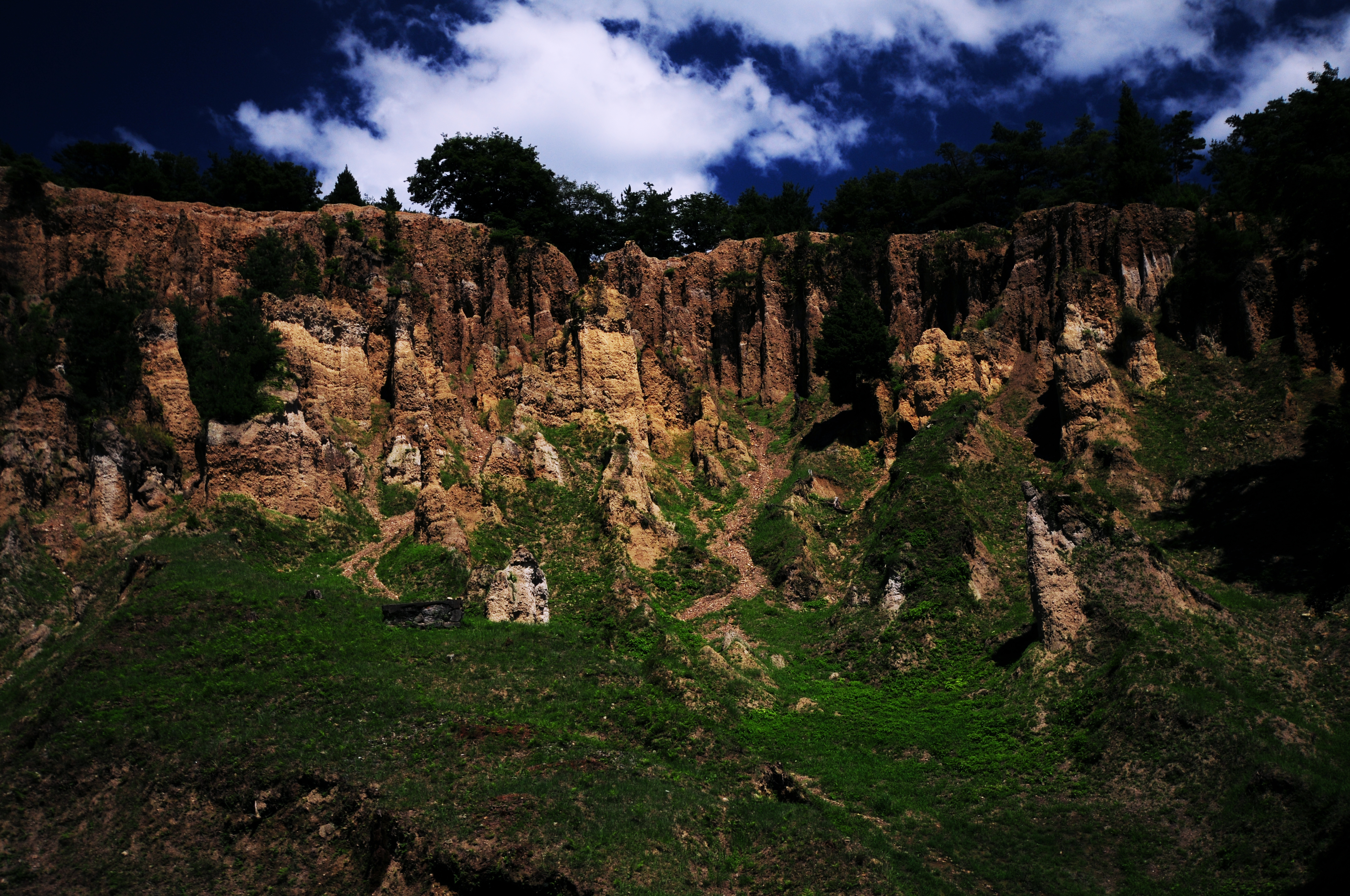
阿波 土柱
DSC05228.JPG
near Donari, , Japan
DSC05230.JPG

2013-09-01 11.02.38

One of the smaller Waterfalls on the way up

Amagoi Waterfall (male)

Amagoi Waterfall (female)

鯉のぼり
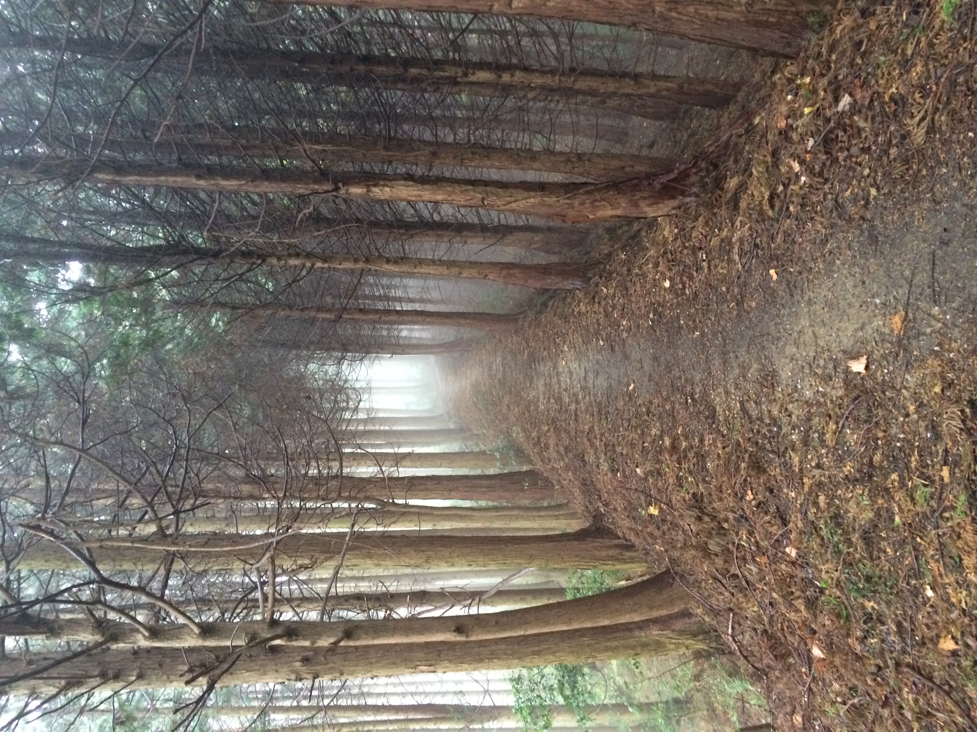
MHH Shikoku Temple Trek, November 2014
Topographic Map of Hinokuchi-36 Kawashimachōgaku, Yoshinogawa-shi, Tokushima-ken -, Japan
Find elevation by address:

Places near Hinokuchi-36 Kawashimachōgaku, Yoshinogawa-shi, Tokushima-ken -, Japan:
Yoshinogawa
Awa
-4 Kamojimachō Jōgejima, Yoshinogawa-shi, Tokushima-ken -, Japan
33 Awachō Taniguchi, Awa-shi, Tokushima-ken -, Japan
Myozai District
Inotani-80 Ano, Kamiyama-chō, Myōzai-gun, Tokushima-ken -, Japan
Kamiyama
Kitauetsuno- Jinryō, Kamiyama-chō, Myōzai-gun, Tokushima-ken -, Japan
Deguchi-63-6 Hikino, Kamiita-chō, Itano-gun, Tokushima-ken -, Japan
Mima
Udatsu
Kamiita
Ikekita- Takahara, Ishii-chō, Myōzai-gun, Tokushima-ken -, Japan
Nishibun- Wakimachi Ōaza Inoshiri, Mima-shi, Tokushima-ken -, Japan
Koyadaira
Ishii
Mitani- Anabukichō Mishima, Mima-shi, Tokushima-ken -, Japan
Sanagouchi
Akemidani-50 Shimo, Sanagouchi-son, Myōdō-gun, Tokushima-ken -, Japan
Myodo District
Recent Searches:
- Elevation of Congressional Dr, Stevensville, MD, USA
- Elevation of Bellview Rd, McLean, VA, USA
- Elevation of Stage Island Rd, Chatham, MA, USA
- Elevation of Shibuya Scramble Crossing, 21 Udagawacho, Shibuya City, Tokyo -, Japan
- Elevation of Jadagoniai, Kaunas District Municipality, Lithuania
- Elevation of Pagonija rock, Kranto 7-oji g. 8"N, Kaunas, Lithuania
- Elevation of Co Rd 87, Jamestown, CO, USA
- Elevation of Tenjo, Cundinamarca, Colombia
- Elevation of Côte-des-Neiges, Montreal, QC H4A 3J6, Canada
- Elevation of Bobcat Dr, Helena, MT, USA