Elevation of Nishibun- Wakimachi Ōaza Inoshiri, Mima-shi, Tokushima-ken -, Japan
Location: Japan > Tokushima Prefecture > Mima >
Longitude: 134.149538
Latitude: 34.0668074
Elevation: 48m / 157feet
Barometric Pressure: 101KPa
Elevation Map:
Satellite Map:
Related Photos:
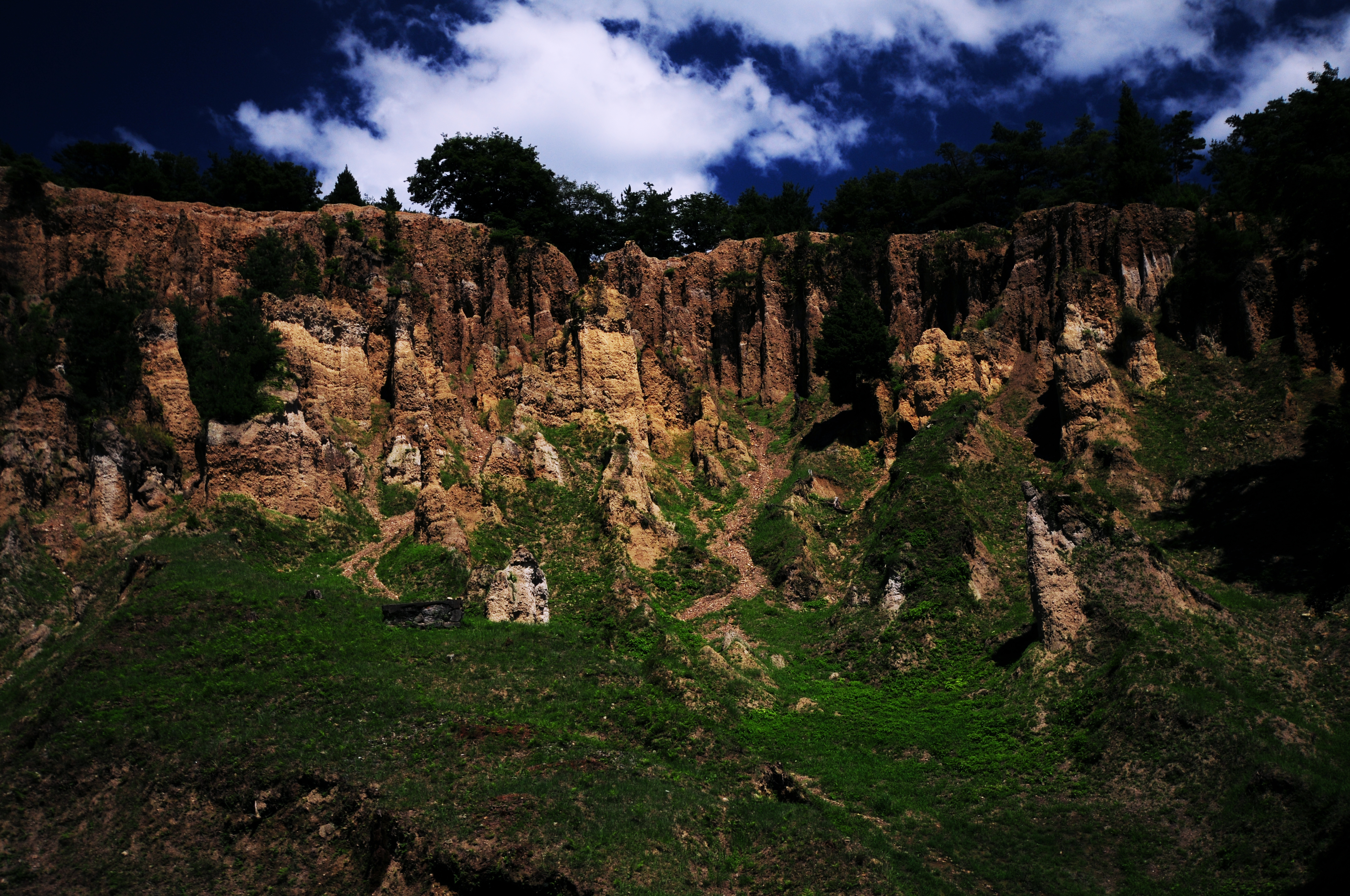
阿波 土柱

image-41
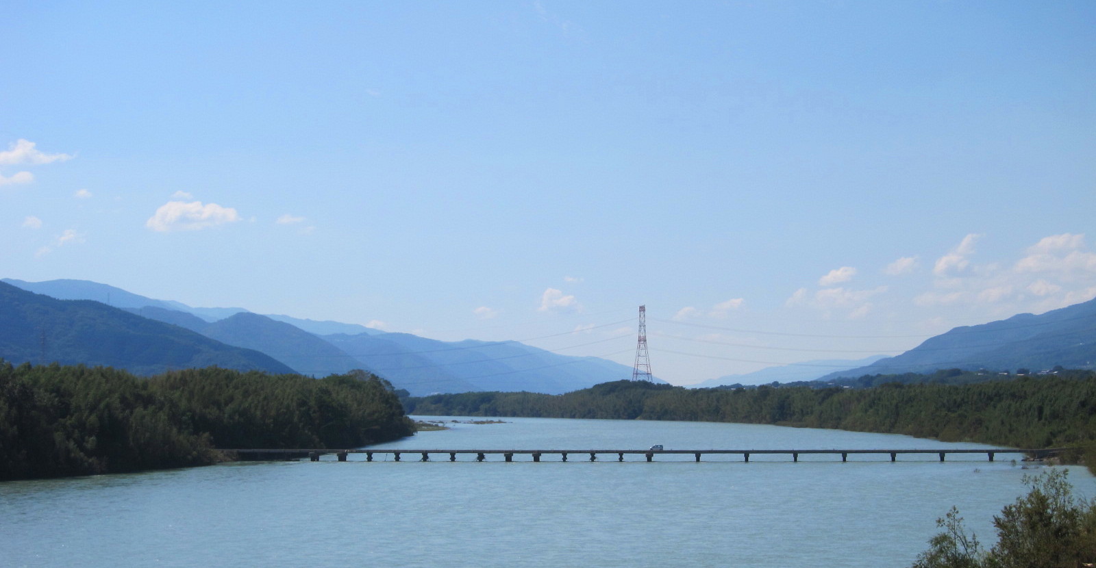
脇町潜水橋 遠景
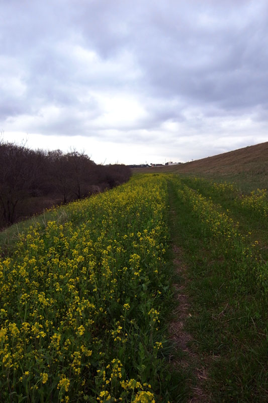
吉野川 土手に咲く菜の花
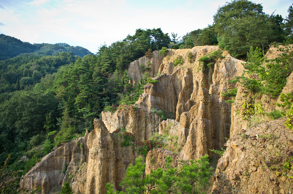
Dochu Sand Pillars
PhoTones Works #5406
PhoTones Works #5402
PhoTones Works #5401
DSC05227.JPG
PhoTones Works #5412
DSC05228.JPG
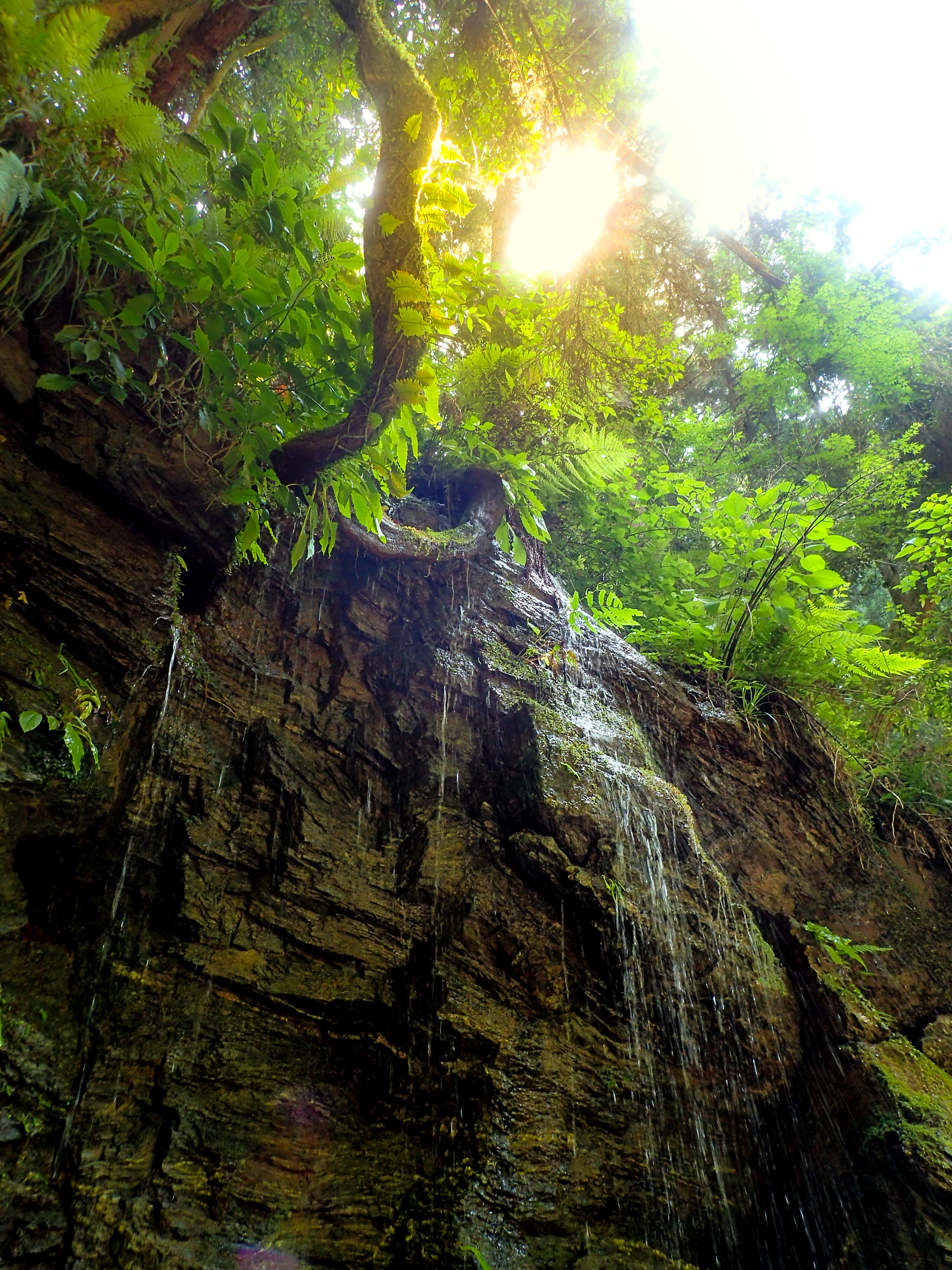
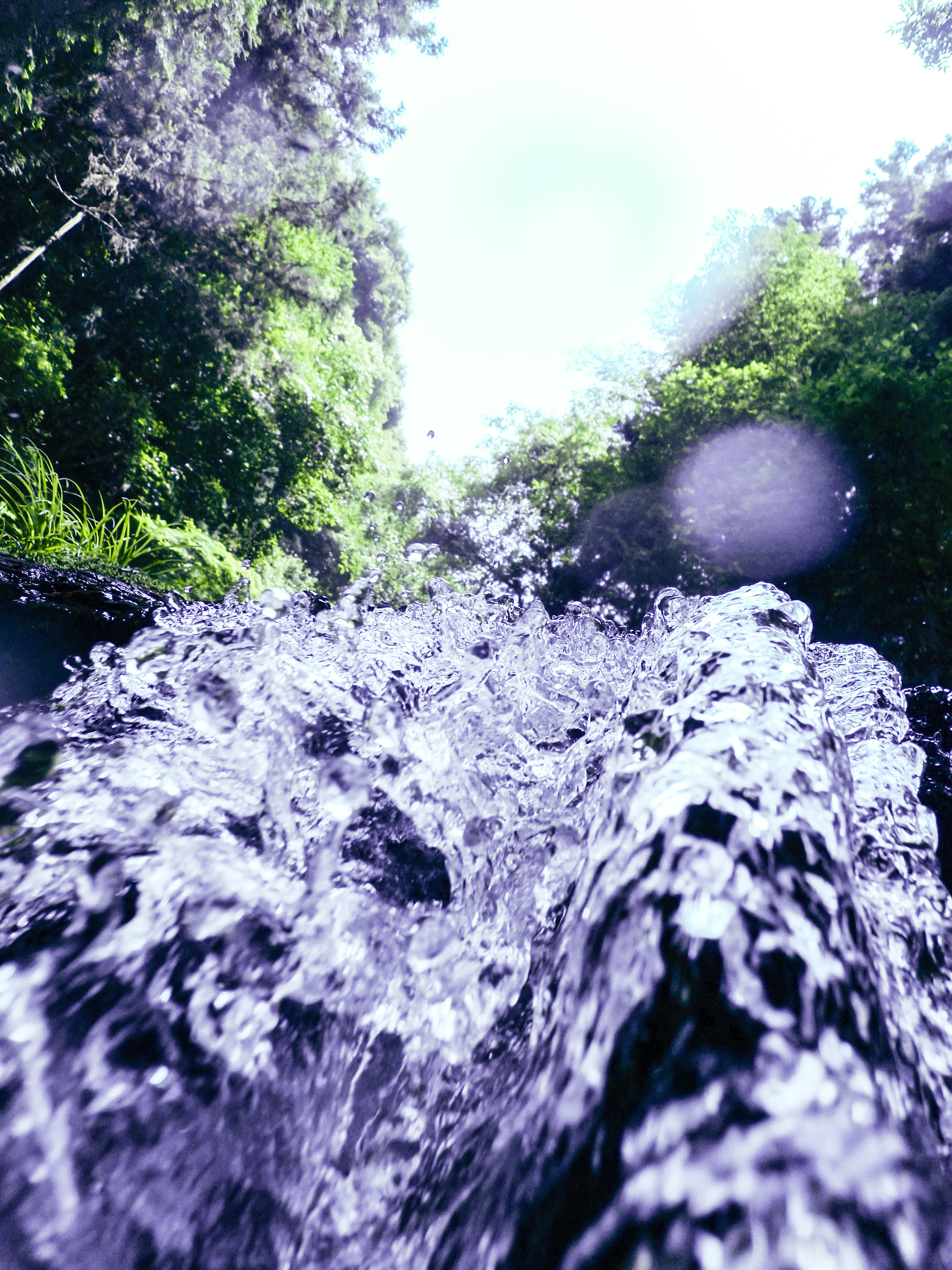
滝に打たれに。クーラーより全然涼しい! #滝 #waterfall #マイナスイオン
DSC05230.JPG
MHH Shikoku Temple Trek, November 2014
MHH Shikoku Temple Trek, November 2014
#2012-28

image-40
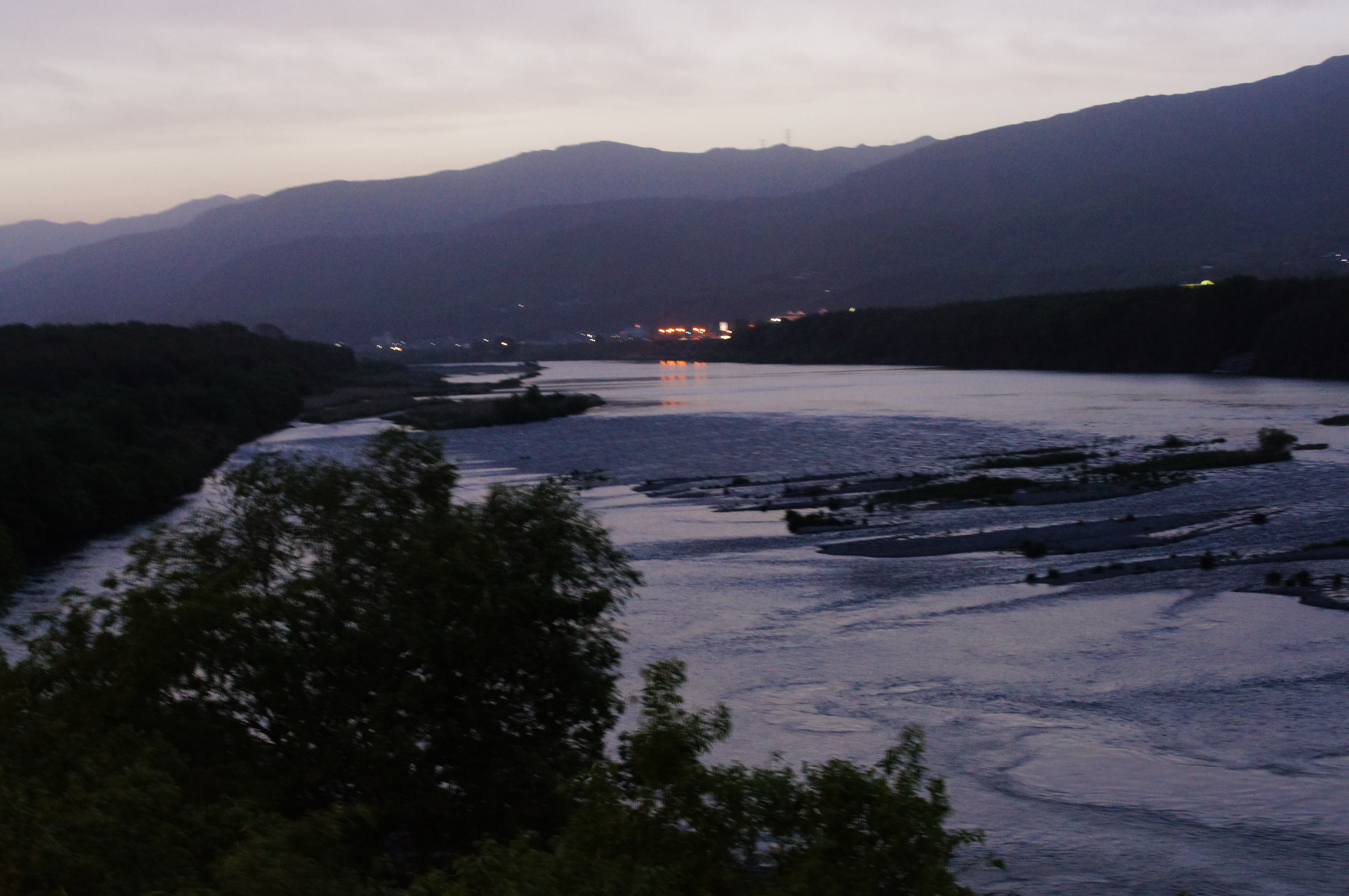
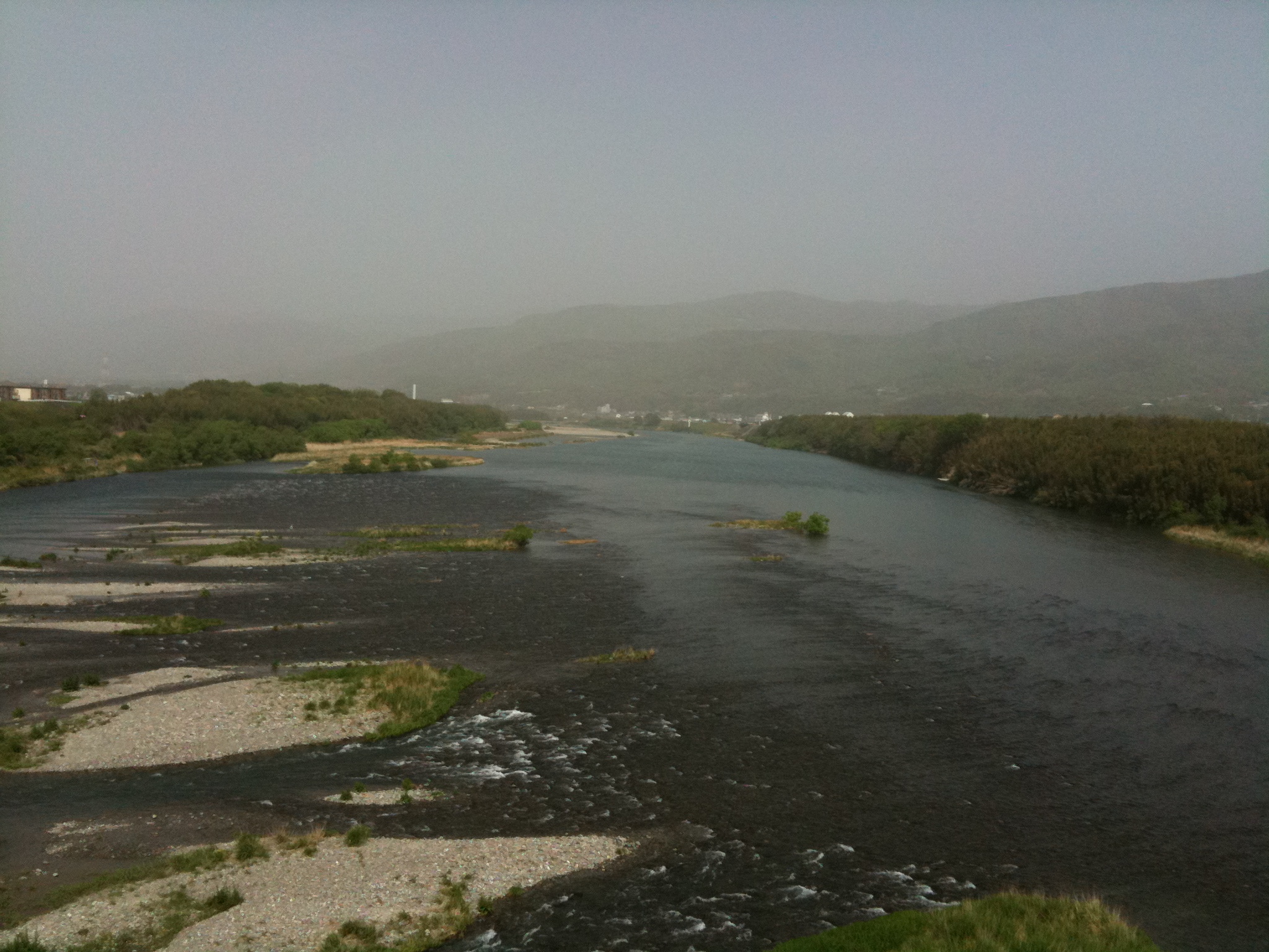
吉野川
1000000068.JPG
MHH Shikoku Temple Trek, November 2014
DSC05237.JPG
Topographic Map of Nishibun- Wakimachi Ōaza Inoshiri, Mima-shi, Tokushima-ken -, Japan
Find elevation by address:

Places near Nishibun- Wakimachi Ōaza Inoshiri, Mima-shi, Tokushima-ken -, Japan:
Mima
Mitani- Anabukichō Mishima, Mima-shi, Tokushima-ken -, Japan
Udatsu
Tsurugi
Kō- Shionoechō Kaminishi, Takamatsu-shi, Kagawa-ken -, Japan
33 Awachō Taniguchi, Awa-shi, Tokushima-ken -, Japan
Shionoechō Yasuharakamihigashi, Takamatsu-shi, Kagawa-ken -, Japan
Yoshinogawa
Shionoechō Yasuharakamihigashi, Takamatsu-shi, Kagawa-ken -, Japan
Mima District
Shionoechō Yasuharakami, Takamatsu-shi, Kagawa-ken -, Japan
Sugezawachō, Takamatsu-shi, Kagawa-ken -, Japan
Higao- Handa, Tsurugi-chō, Mima-gun, Tokushima-ken -, Japan
Dai 1 Gō- Shionoechō Yasuharashimo, Takamatsu-shi, Kagawa-ken -, Japan
Hinokuchi-36 Kawashimachōgaku, Yoshinogawa-shi, Tokushima-ken -, Japan
Shionoechō Yasuharashimo, Takamatsu-shi, Kagawa-ken -, Japan
Koyadaira
Komino, Miki-chō, Kita-gun, Kagawa-ken -, Japan
Awa
Higashiuetachō, Takamatsu-shi, Kagawa-ken -, Japan
Recent Searches:
- Elevation of Elwyn Dr, Roanoke Rapids, NC, USA
- Elevation of Congressional Dr, Stevensville, MD, USA
- Elevation of Bellview Rd, McLean, VA, USA
- Elevation of Stage Island Rd, Chatham, MA, USA
- Elevation of Shibuya Scramble Crossing, 21 Udagawacho, Shibuya City, Tokyo -, Japan
- Elevation of Jadagoniai, Kaunas District Municipality, Lithuania
- Elevation of Pagonija rock, Kranto 7-oji g. 8"N, Kaunas, Lithuania
- Elevation of Co Rd 87, Jamestown, CO, USA
- Elevation of Tenjo, Cundinamarca, Colombia
- Elevation of Côte-des-Neiges, Montreal, QC H4A 3J6, Canada