Elevation of Myozai District, Tokushima Prefecture, Japan
Location: Japan > Tokushima Prefecture >
Longitude: 134.36
Latitude: 33.996
Elevation: 126m / 413feet
Barometric Pressure: 100KPa
Elevation Map:
Satellite Map:
Related Photos:

DSC_0431 1
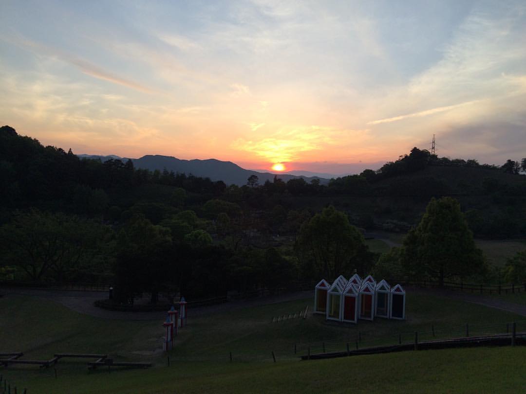
沈みゆく夕日。 #夕日 #夕陽 #サンセット #sunset
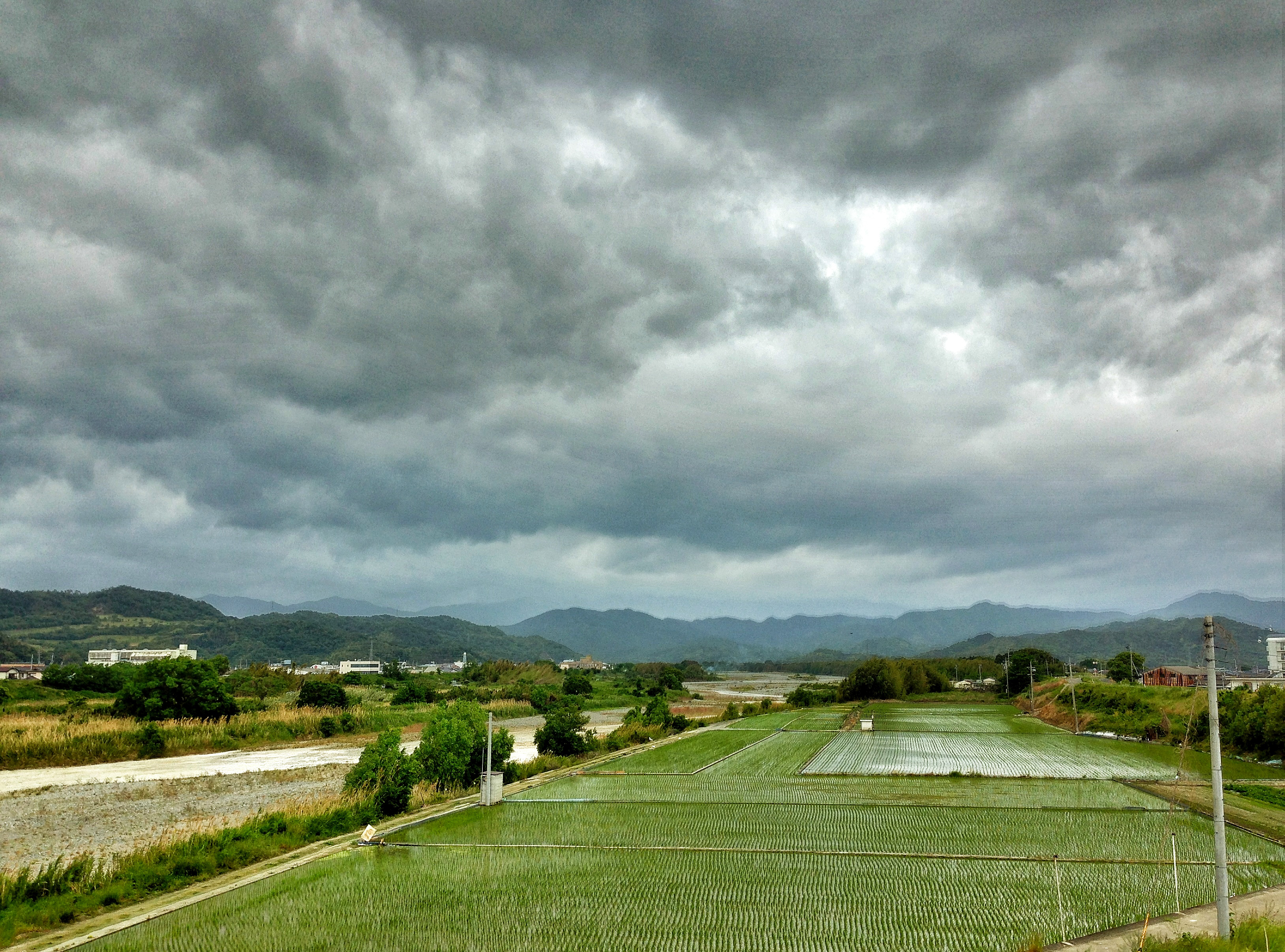
2013-09-01 11.02.17
2013-09-01 11.44.25
2013-09-01 11.44.18
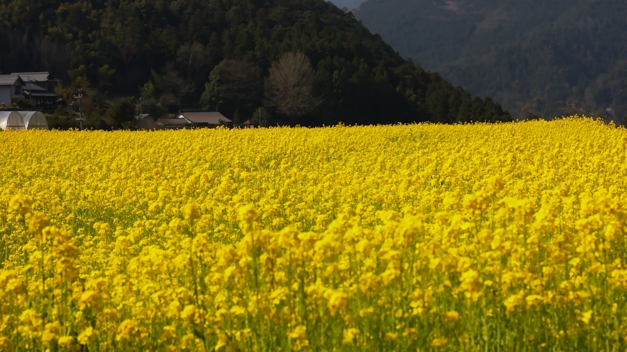
菜の花
IMG_1030.jpg
2013-09-01 11.44.23
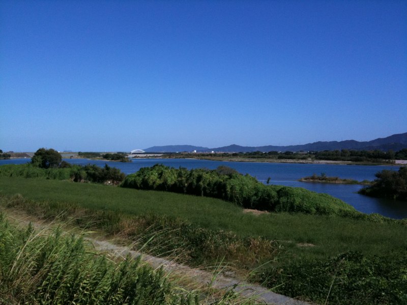
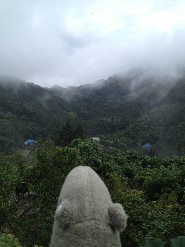
near Donari, , Japan

2013-09-01 11.02.38

One of the smaller Waterfalls on the way up

Amagoi Waterfall (male)

Amagoi Waterfall (female)
MHH Shikoku Temple Trek, November 2014

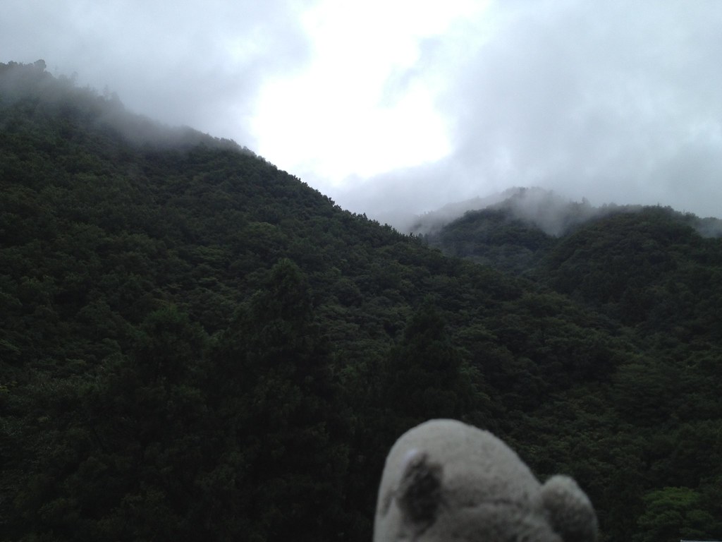
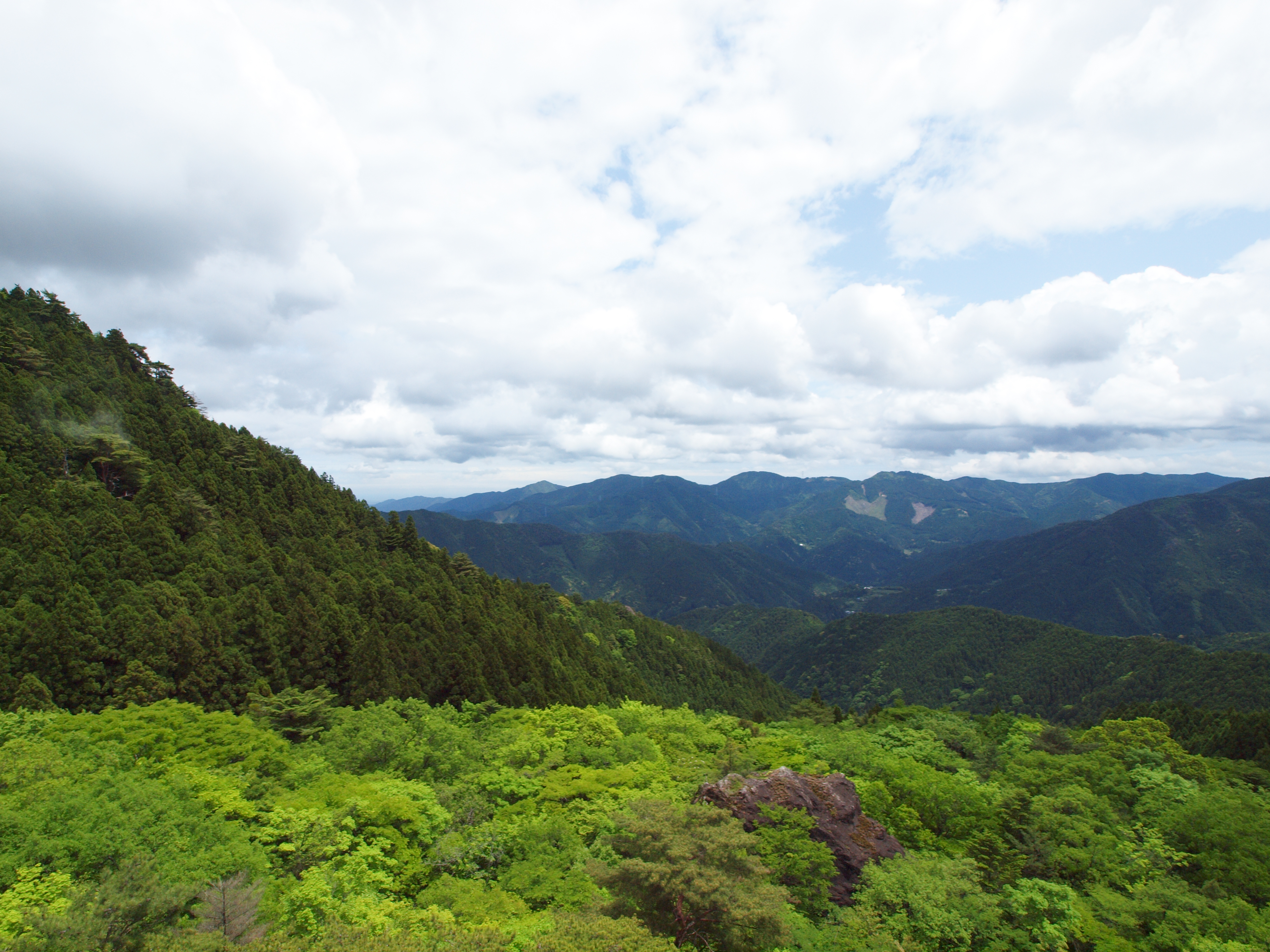
徳島 大川原高原
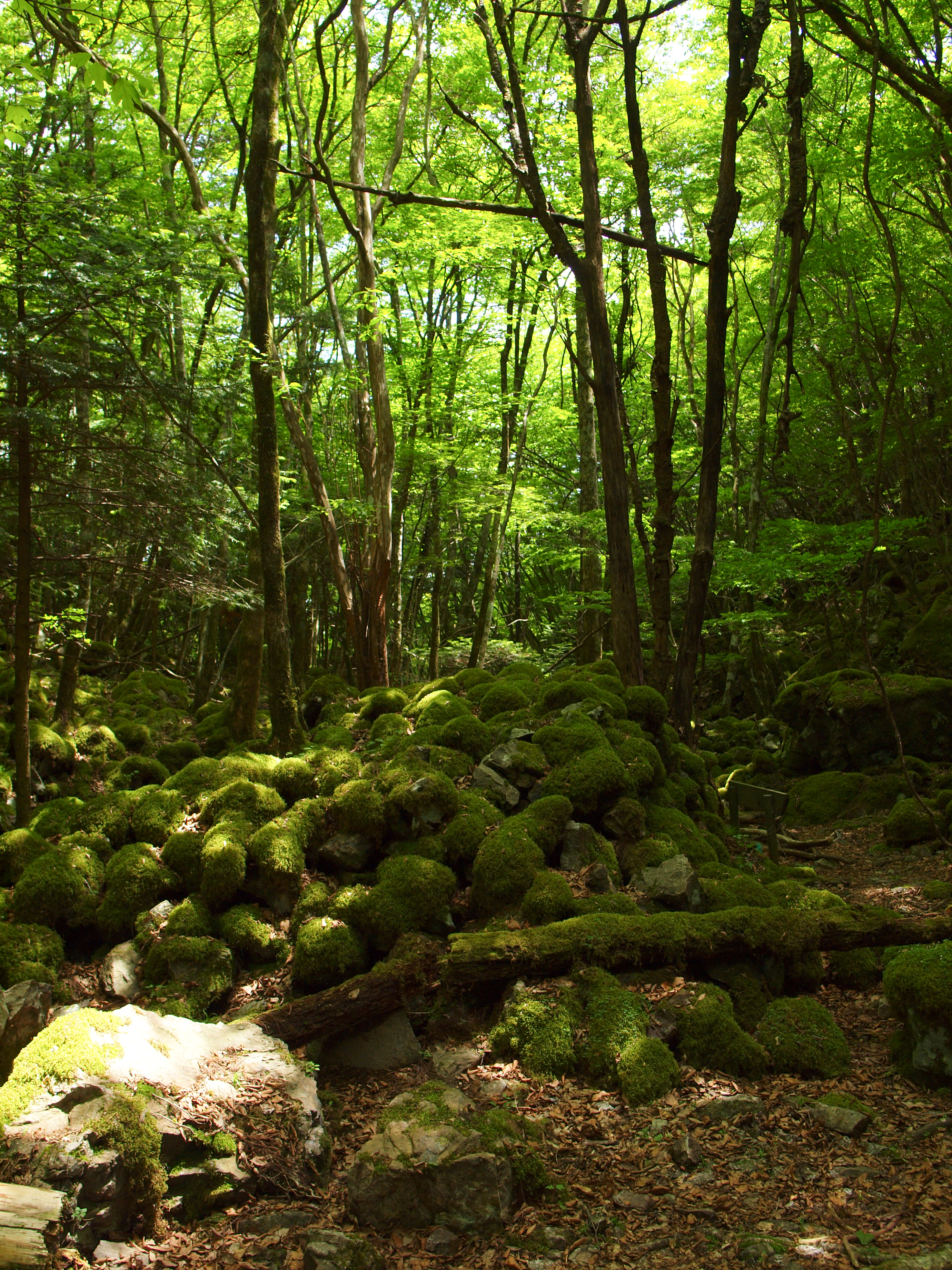
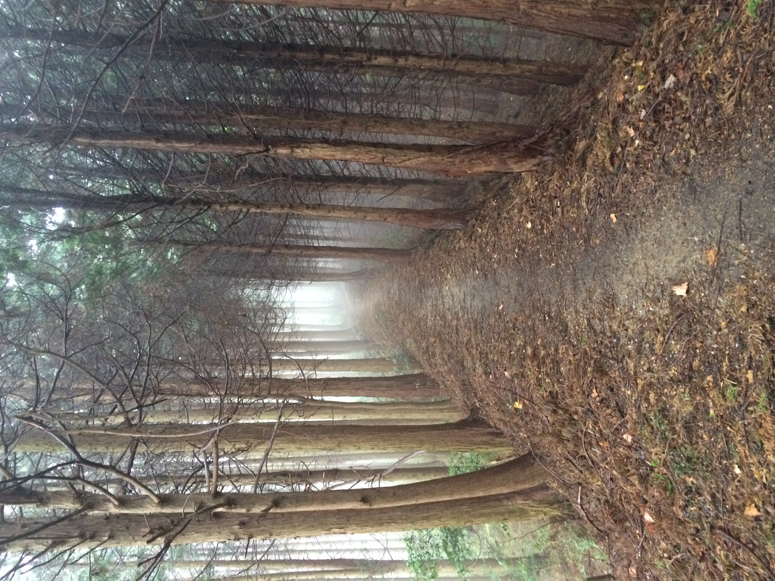
山犬嶽 / Yamainudake
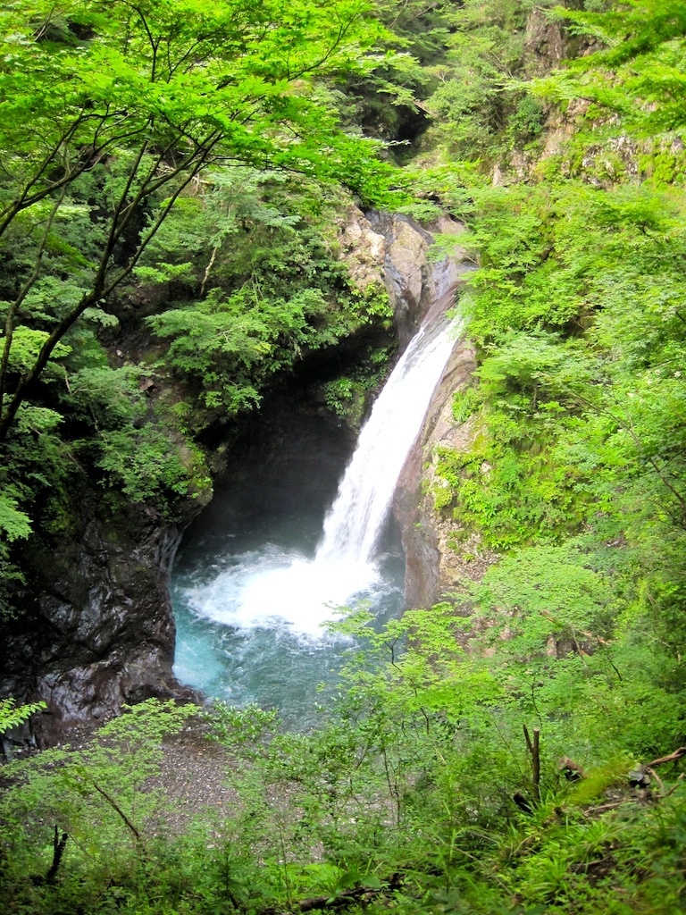
Ookama waterfall(大釜滝) (1)

See you on the road tomorrow. #vscocam #rpkamikatsu #mozucoffee スタート前に5人の集合写真がないまま笑 すでにみんなベッドに入りました(マジメか) MOZU COFFEEメンバーの中でダチョウみたいな顔をしているのが私です。 コース上でランデブーの際は、よかったらお気軽に声をかけてくださいね。お初の方もいて、誰が誰やらわかってなかったりするので笑 コテージ横を流れる川のせせらぎを聞きながらボンニュイです。

2013-09-01 11.44.22

菜の花の絨毯
山犬嶽 / Yamainudake
Topographic Map of Myozai District, Tokushima Prefecture, Japan
Find elevation by address:

Places in Myozai District, Tokushima Prefecture, Japan:
Places near Myozai District, Tokushima Prefecture, Japan:
Kitauetsuno- Jinryō, Kamiyama-chō, Myōzai-gun, Tokushima-ken -, Japan
Inotani-80 Ano, Kamiyama-chō, Myōzai-gun, Tokushima-ken -, Japan
Kamiyama
-4 Kamojimachō Jōgejima, Yoshinogawa-shi, Tokushima-ken -, Japan
Hinokuchi-36 Kawashimachōgaku, Yoshinogawa-shi, Tokushima-ken -, Japan
Akemidani-50 Shimo, Sanagouchi-son, Myōdō-gun, Tokushima-ken -, Japan
Sanagouchi
Myodo District
Katsuura District
Yoshinogawa
Hosone-11 Ikumi, Kamikatsu-chō, Katsuura-gun, Tokushima-ken -, Japan
Fujinouchi-18 Masaki, Kamikatsu-chō, Katsuura-gun, Tokushima-ken -, Japan
Ikekita- Takahara, Ishii-chō, Myōzai-gun, Tokushima-ken -, Japan
Ishii
Kamikatsu
Awa
Kamiita
Deguchi-63-6 Hikino, Kamiita-chō, Itano-gun, Tokushima-ken -, Japan
Koyadaira
Uchigane- Hisakuni, Katsuura-chō, Katsuura-gun, Tokushima-ken -, Japan
Recent Searches:
- Elevation of Felindre, Swansea SA5 7LU, UK
- Elevation of Leyte Industrial Development Estate, Isabel, Leyte, Philippines
- Elevation of W Granada St, Tampa, FL, USA
- Elevation of Pykes Down, Ivybridge PL21 0BY, UK
- Elevation of Jalan Senandin, Lutong, Miri, Sarawak, Malaysia
- Elevation of Bilohirs'k
- Elevation of 30 Oak Lawn Dr, Barkhamsted, CT, USA
- Elevation of Luther Road, Luther Rd, Auburn, CA, USA
- Elevation of Unnamed Road, Respublika Severnaya Osetiya — Alaniya, Russia
- Elevation of Verkhny Fiagdon, North Ossetia–Alania Republic, Russia