Elevation of Hinesburg, VT, USA
Location: United States > Vermont > Chittenden County >
Longitude: -73.110679
Latitude: 44.3292199
Elevation: 104m / 341feet
Barometric Pressure: 100KPa
Elevation Map:
Satellite Map:
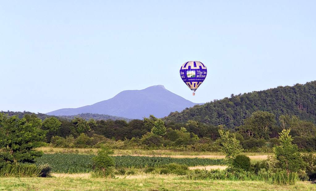
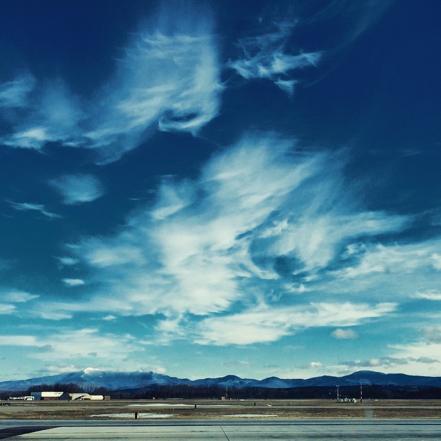
Related Photos:
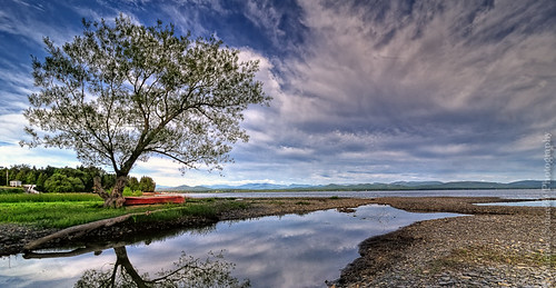
The Red Canoe
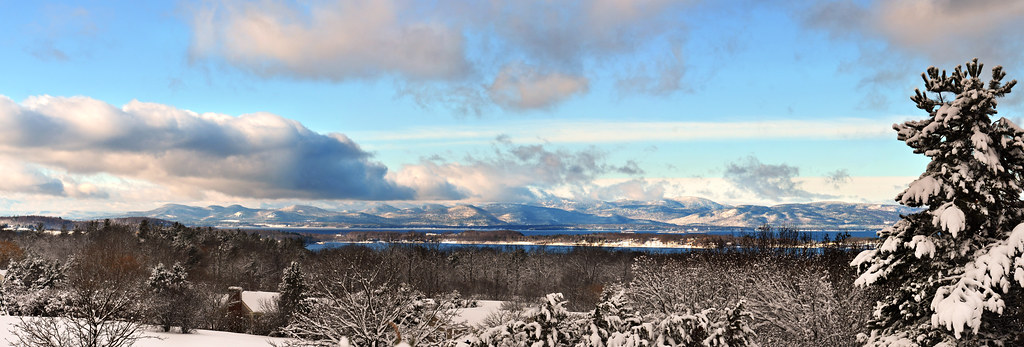
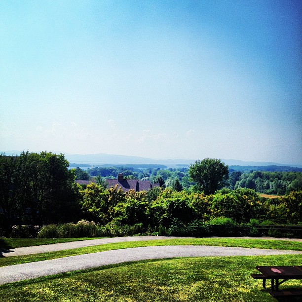
The Overlook

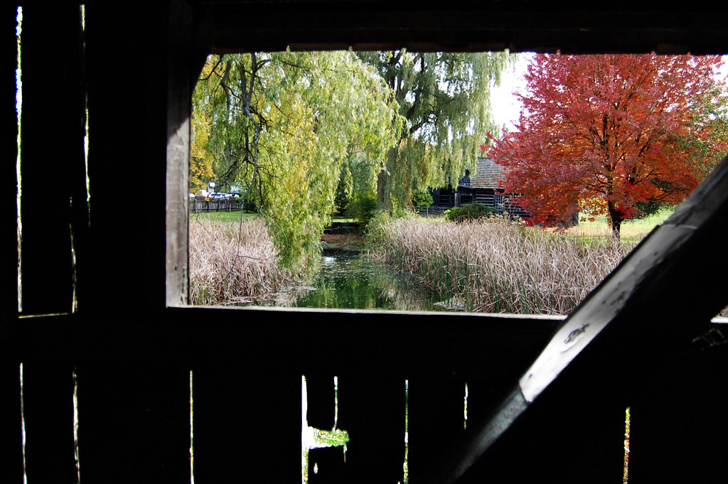
Framing the view
view from a bridge

Another beautiful morning in Vermont.
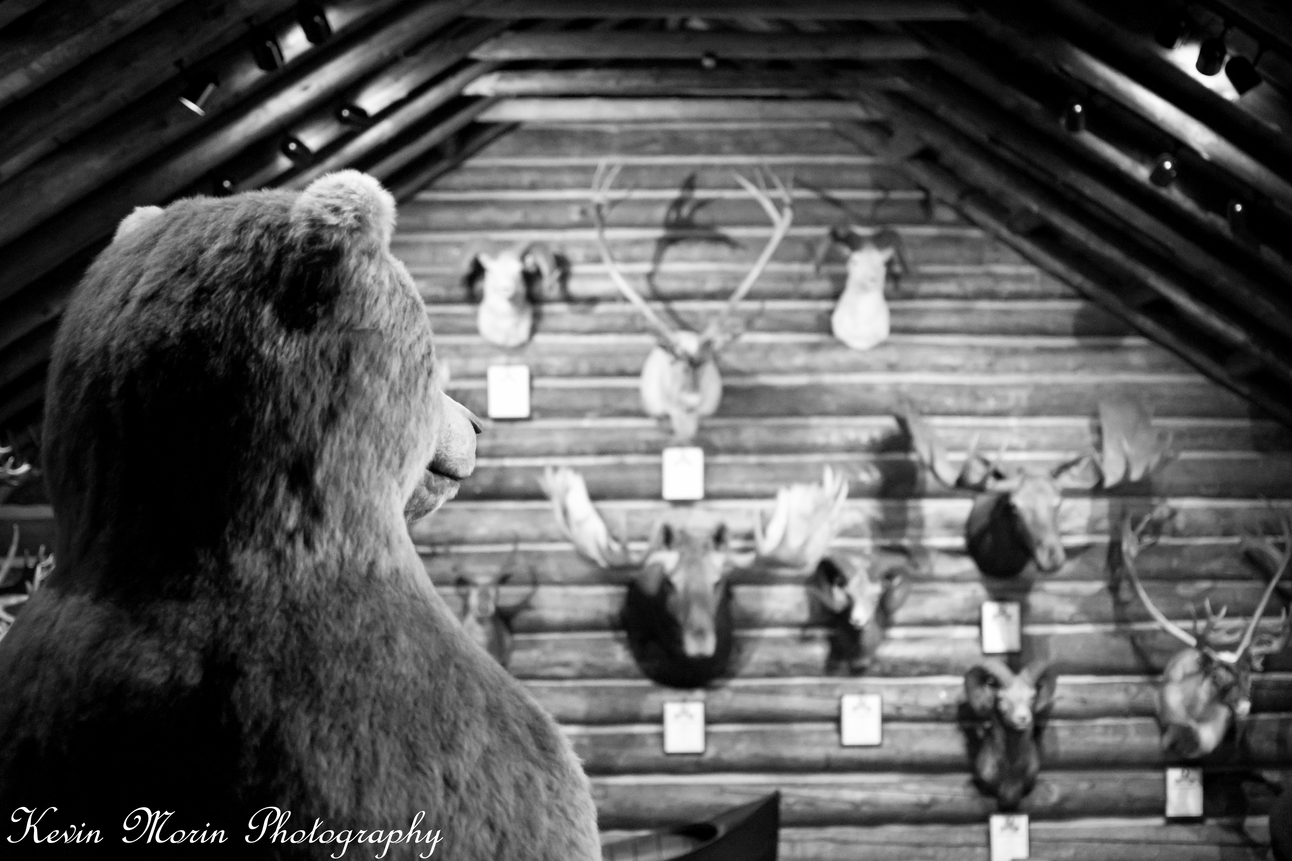
A Bears View

US Airways Express @ BTV Burlington Airport
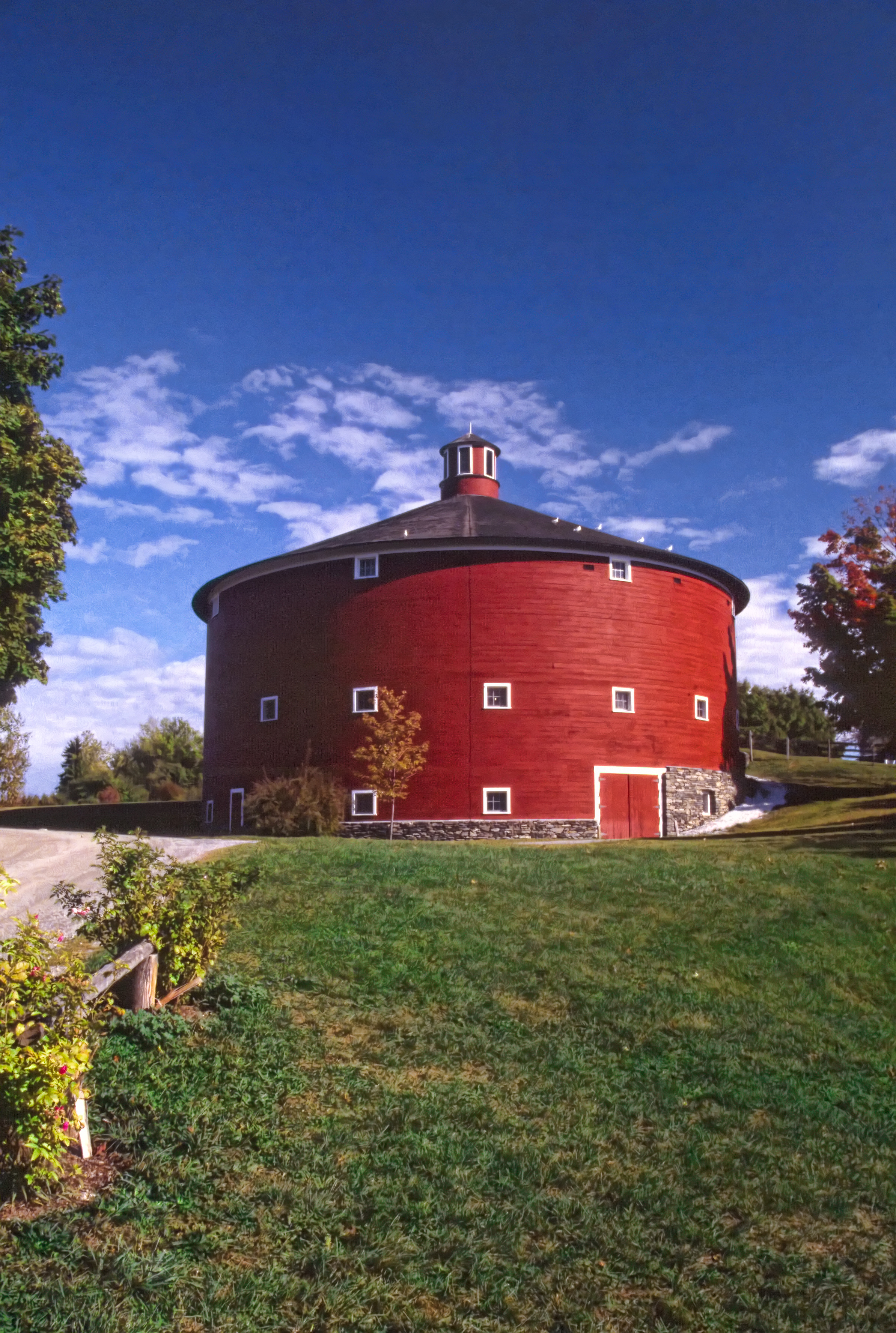
Round Barn, Shelbourne, VT
Shelburne Farms (1886) – Farm Barn (1888-90) - detail
This morning's view
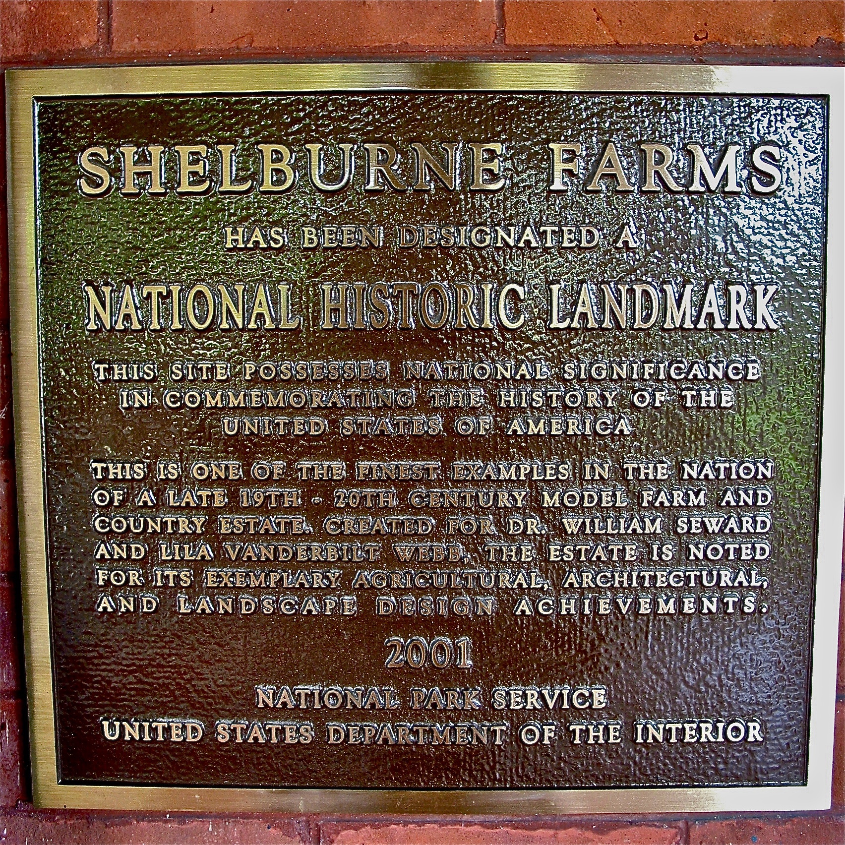
Shelburne Farms (1886) – National Historic Landmark plaque
View from the Deck
Burlington International Airport.
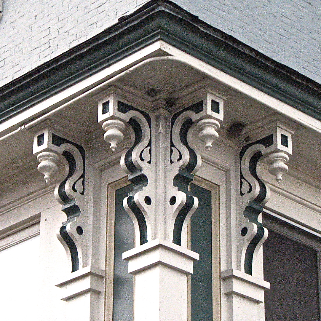
L.S. Drew Lake View House (c.1850) – corner brackets
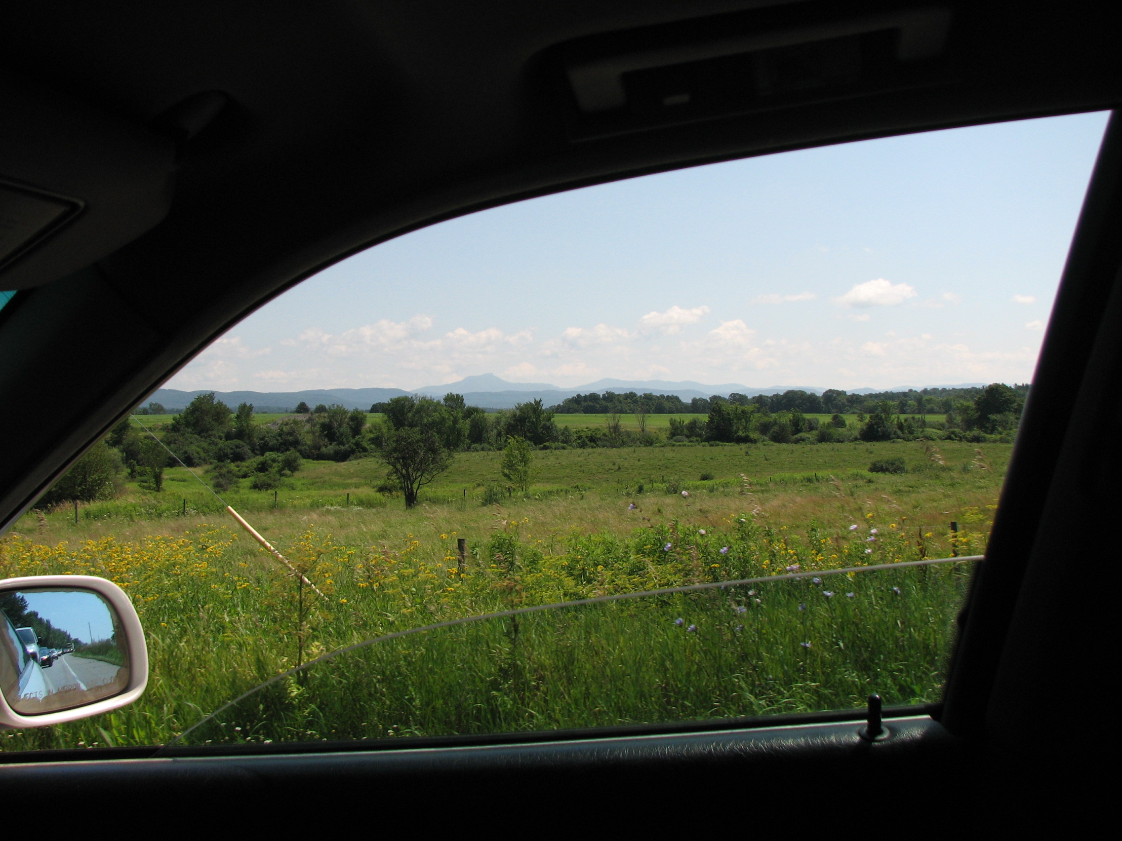
car.window • view
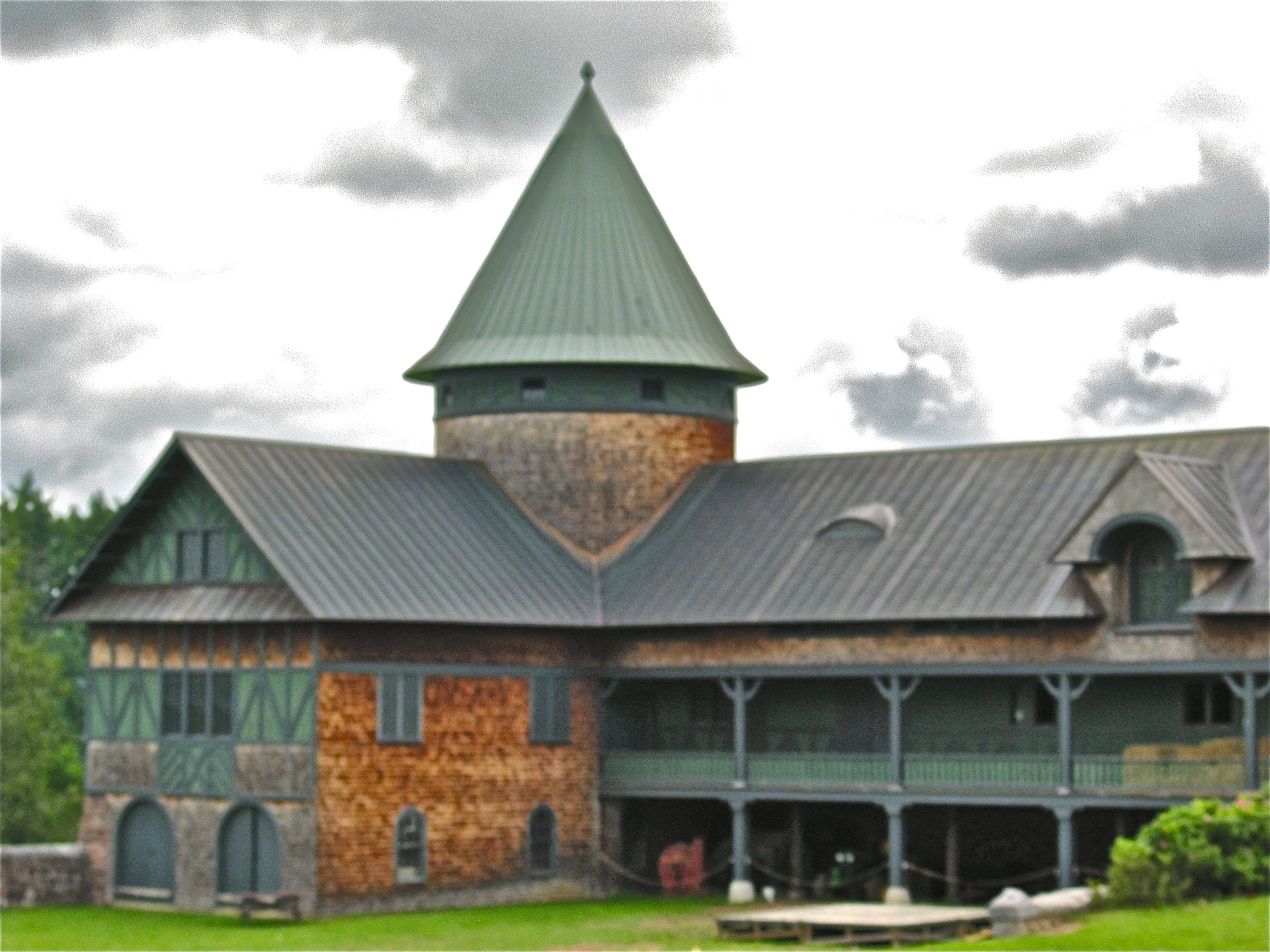
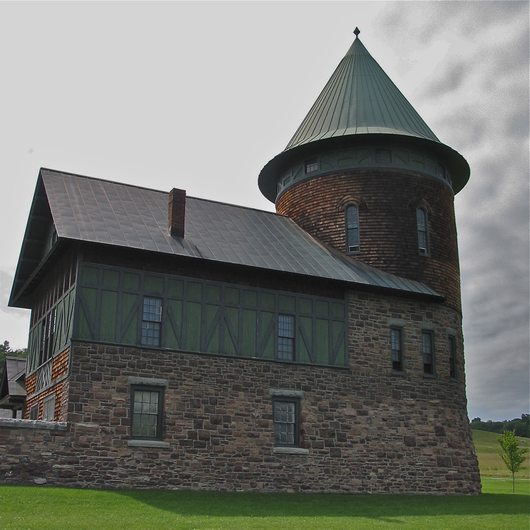
Shelburne Farms (1886) – Farm Barn (1888-90)

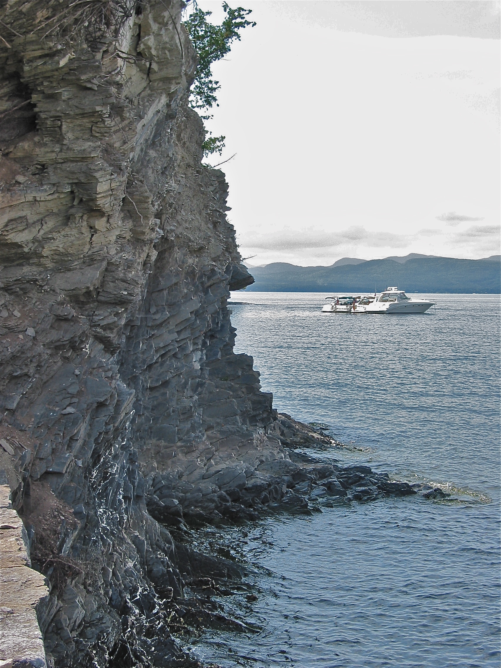
View to Lake Champlain
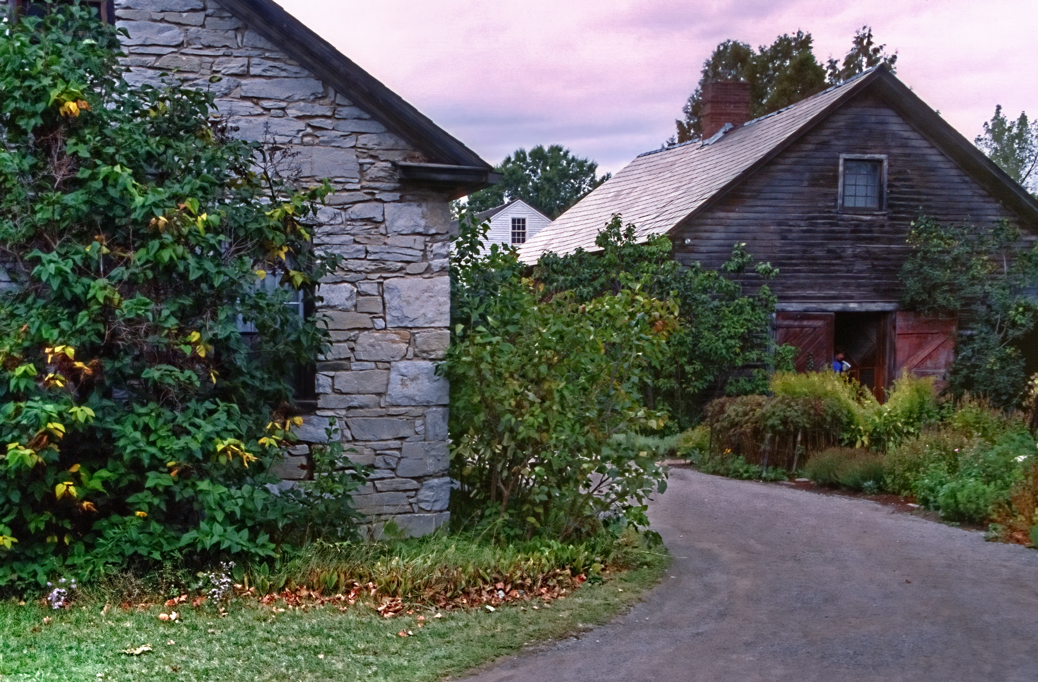
Settler's House and Barn
the view
Shelburne Farms (1886) – Shelburne House (1899) - lake view
The Catch

low perspective

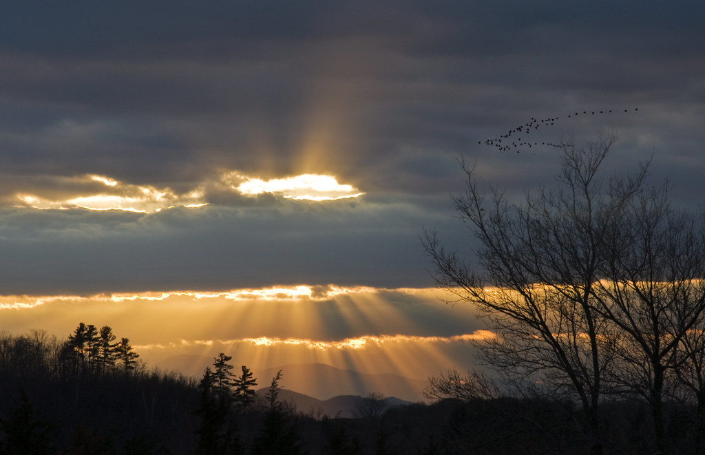
Adirondack sunset
lake ice

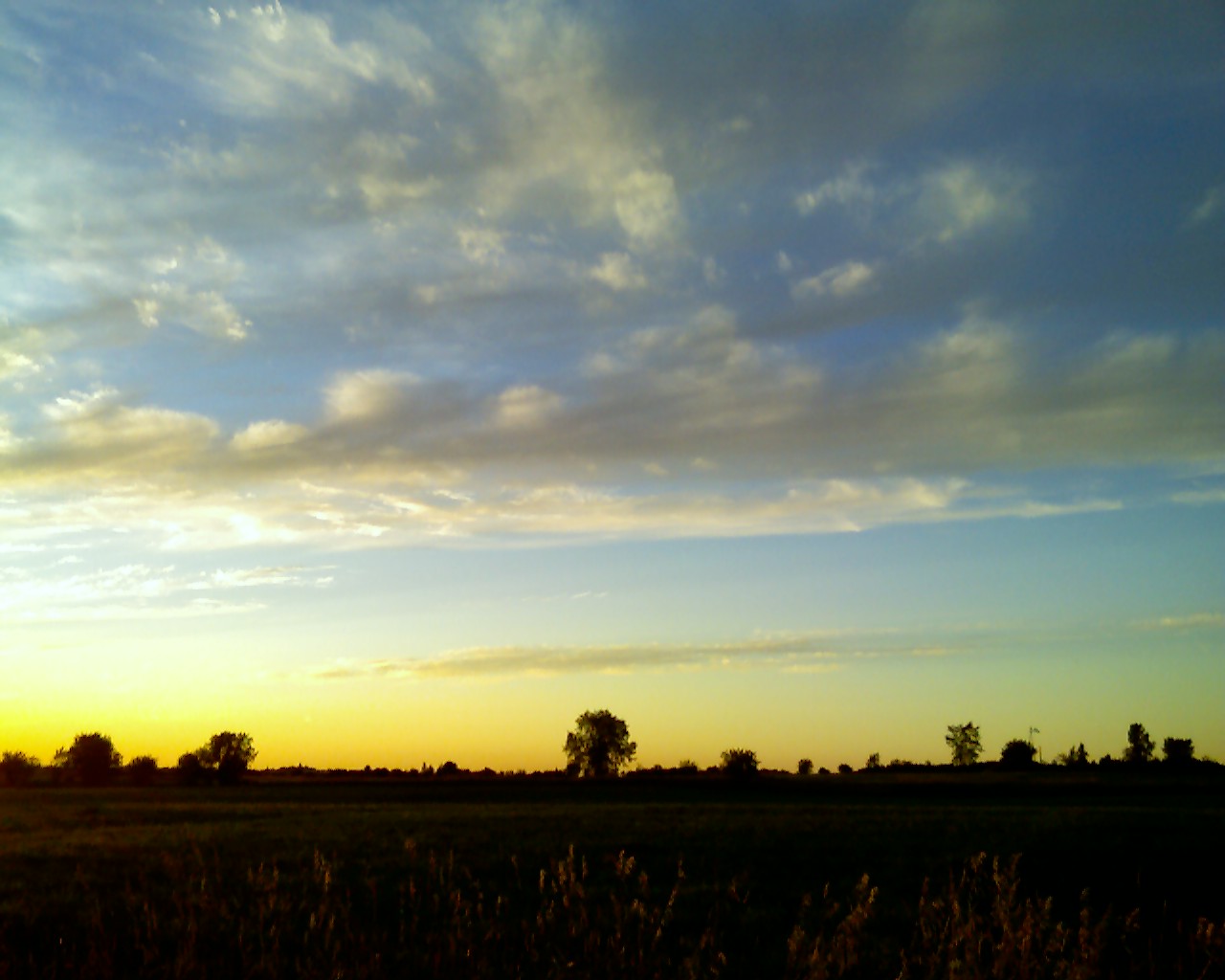
Puffy White Clouds
Ferrisburgh Barn - Topaz Impression | Pastel I

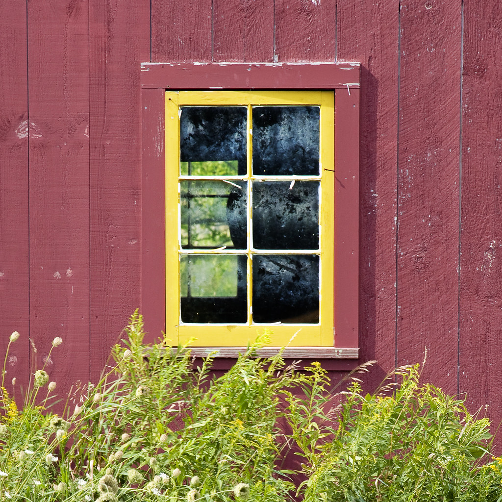
Ten Foot Clearance
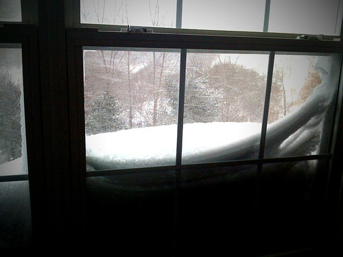
Snow for Christmas

Monkton Barn (Explored!)
Seguin Covered Bridge
crop circle
back road
Forest path
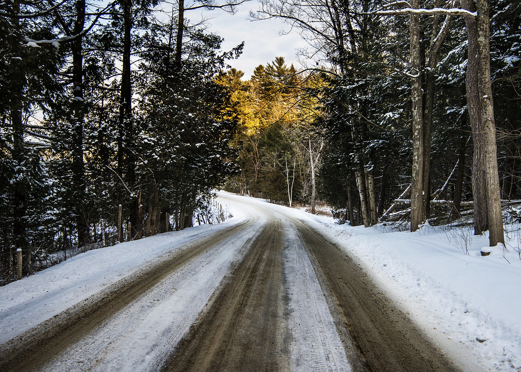
road home

Mansfield sunset #fallinvt @thisisvt #latergram #vt
the lake, the cold and the clouds
Adirondack Vista

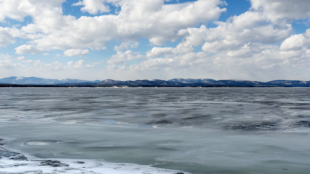
Frozen Lake #btv

Clouds in Vermont
Pastoral Twilight
Overlook Park - today's biking adventure
Topographic Map of Hinesburg, VT, USA
Find elevation by address:

Places in Hinesburg, VT, USA:
Places near Hinesburg, VT, USA:
97 Pond Rd
882 Richmond Rd
301 Jourdan St
Silver Street
97 Pond Brook Rd
401 Butternut Ln
1954 Texas Hill Rd
2373 Hinesburg Rd
1379 Williams Hill Rd
1379 Williams Hill Rd
494 Christmas Ln
1140 Williams Hill Rd
2373 Hinesburg Rd
Mud Pond Road
Mud Pond Country Park
575 Wortheim Ln
164 Ladensack Ln
255 Moulton Dr
495 Yantz Hill Rd
1324 Kenyon Rd
Recent Searches:
- Elevation of 4 Vale Rd, Sheffield S3 9QX, UK
- Elevation of Keene Point Drive, Keene Point Dr, Grant, AL, USA
- Elevation of State St, Zanesville, OH, USA
- Elevation of Austin Stone Dr, Haslet, TX, USA
- Elevation of Bydgoszcz, Poland
- Elevation of Bydgoszcz, Poland
- Elevation of Calais Dr, Del Mar, CA, USA
- Elevation of Placer Mine Ln, West Jordan, UT, USA
- Elevation of E 63rd St, New York, NY, USA
- Elevation of Elk City, OK, USA